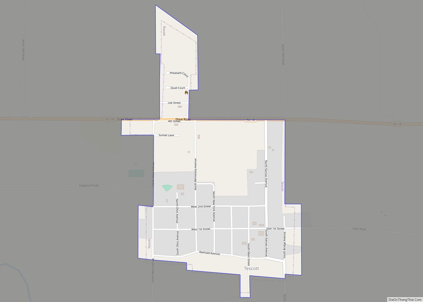
Tescott is a city in Ottawa County, Kansas, United States. As of the 2020 census, the population of the city was 265. It is located northwest of Salina at the intersection of 30th Road and K-18 highway, next to an abandoned railroad. Tescott city overview: Name: Tescott city LSAD Code: 25 LSAD Description: city (suffix) ... Read more
Kansas Cities and Places
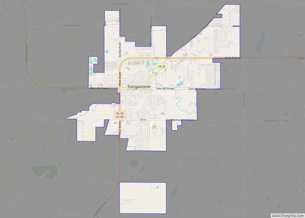
Tonganoxie (pronounced /tɒŋɡəˈnɒksi/) is a city in Leavenworth County, Kansas, United States and is part of the Kansas City metropolitan area. As of the 2020 census, the population of the city was 5,573. Tonganoxie city overview: Name: Tonganoxie city LSAD Code: 25 LSAD Description: city (suffix) State: Kansas County: Leavenworth County Incorporated: 1871 Elevation: 889 ft ... Read more
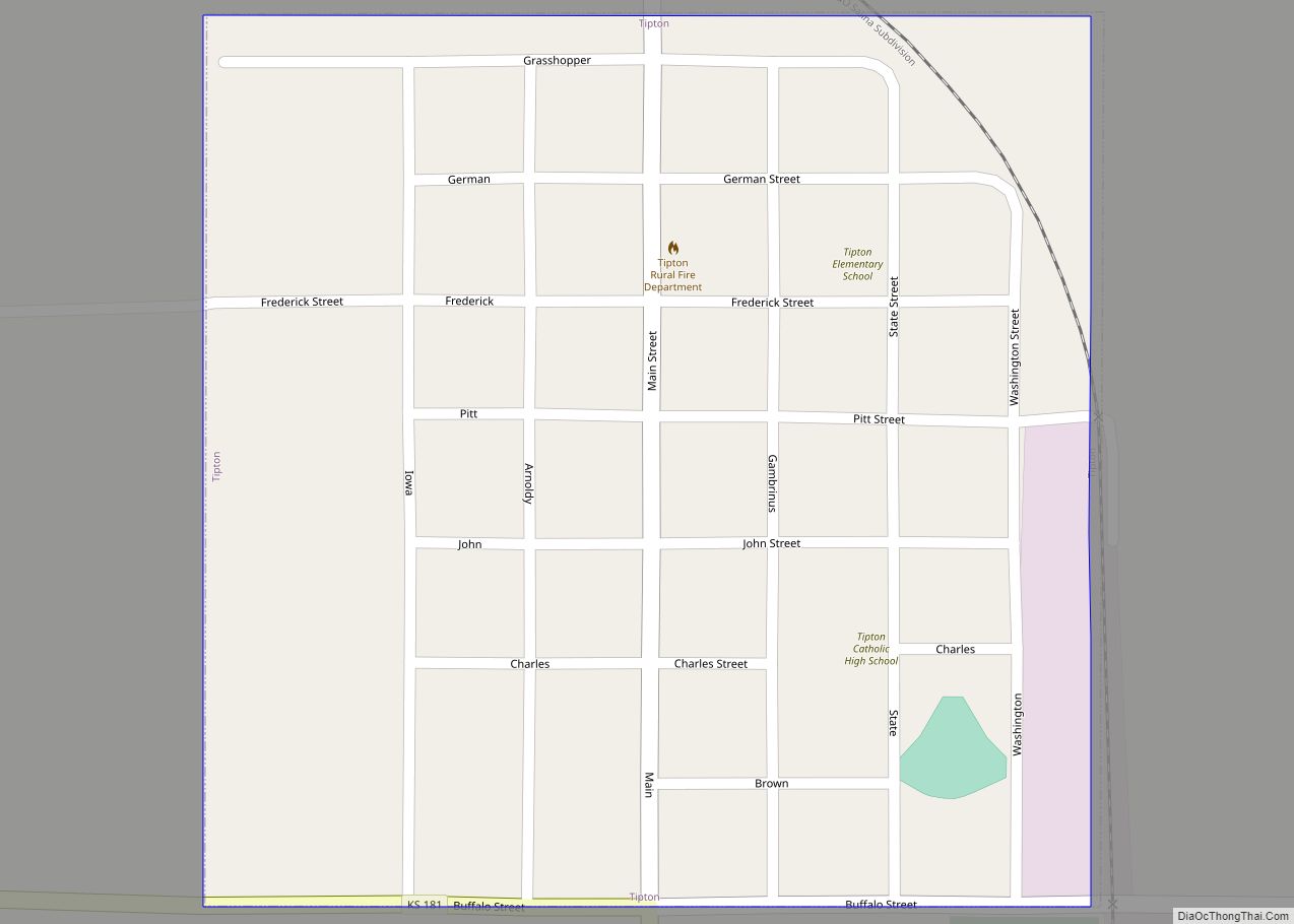
Tipton is a city in Mitchell County, Kansas, United States. As of the 2020 census, the population of the city was 193. Tipton city overview: Name: Tipton city LSAD Code: 25 LSAD Description: city (suffix) State: Kansas County: Mitchell County Founded: 1872 Incorporated: 1916 Elevation: 1,601 ft (488 m) Total Area: 0.25 sq mi (0.65 km²) Land Area: 0.25 sq mi (0.65 km²) ... Read more
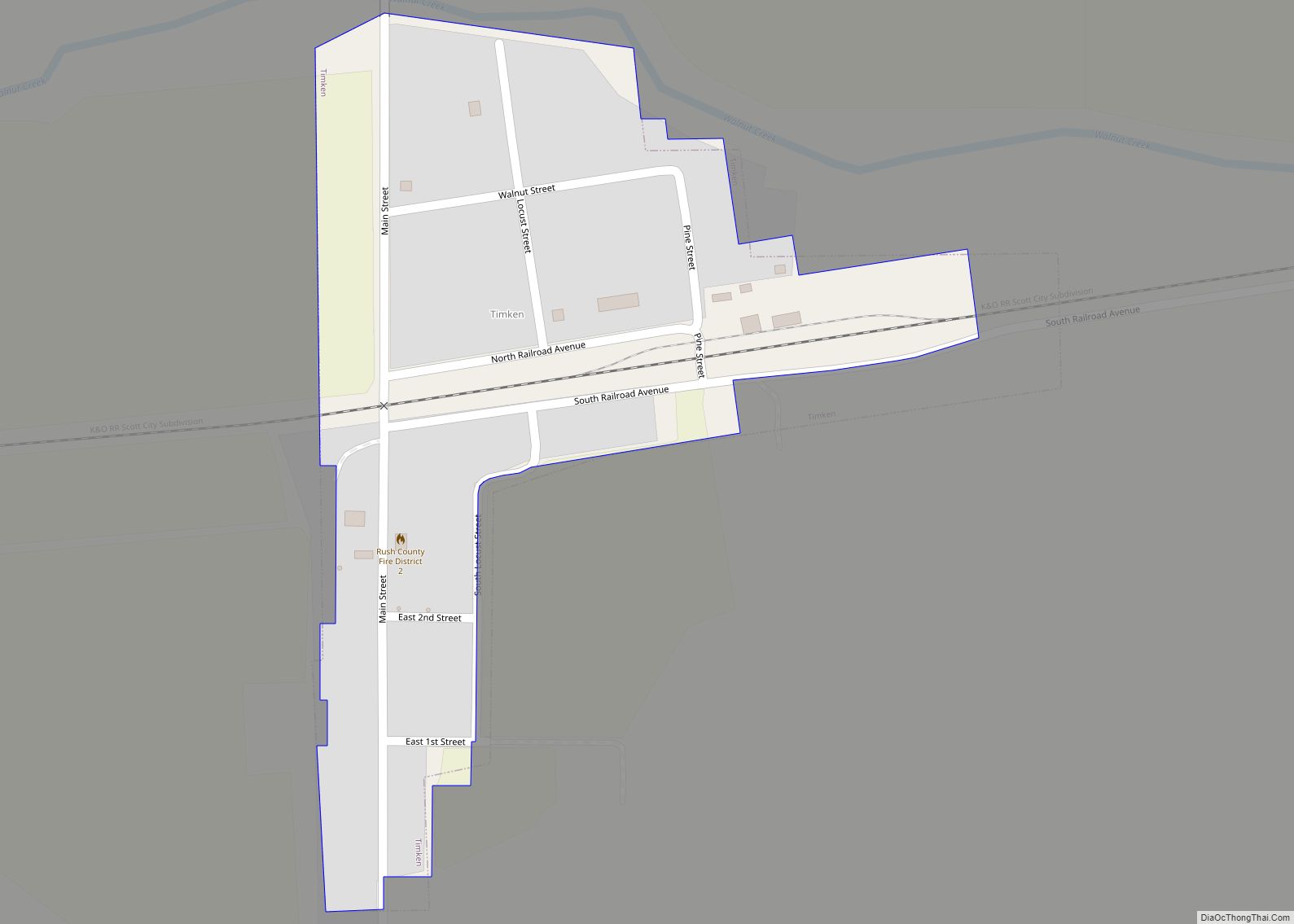
Timken is a city in Rush County, Kansas, United States. As of the 2020 census, the population of the city was 38. Timken city overview: Name: Timken city LSAD Code: 25 LSAD Description: city (suffix) State: Kansas County: Rush County Founded: 1880s Incorporated: 1930 Elevation: 1,959 ft (597 m) Total Area: 0.13 sq mi (0.33 km²) Land Area: 0.13 sq mi (0.33 km²) ... Read more
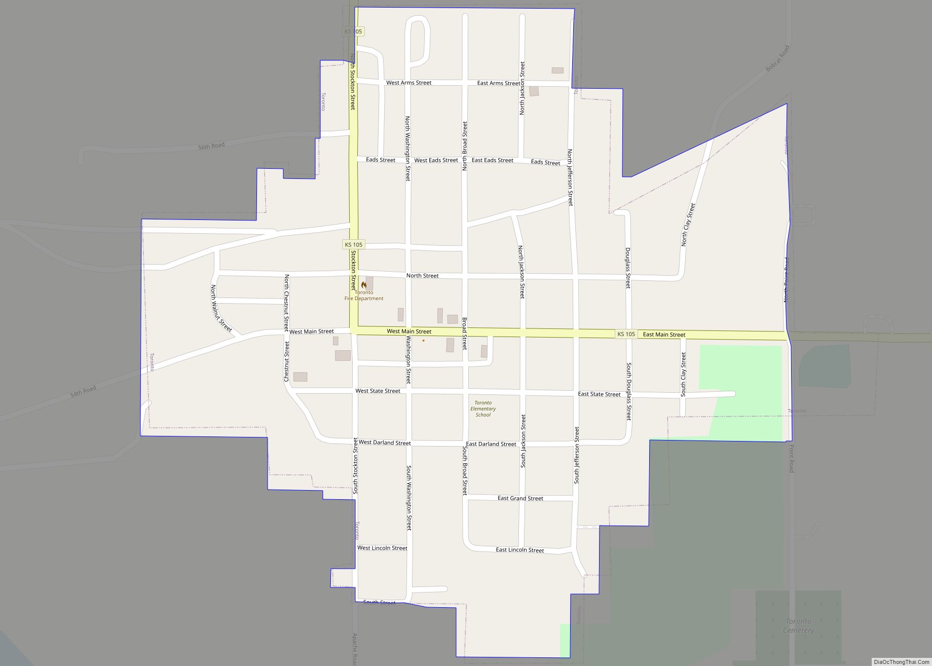
Toronto is a city in Woodson County, Kansas, United States, along the Verdigris River. As of the 2020 census, the population of the city was 206. Toronto city overview: Name: Toronto city LSAD Code: 25 LSAD Description: city (suffix) State: Kansas County: Woodson County Founded: 1869 Incorporated: 1885 Elevation: 951 ft (290 m) Total Area: 0.36 sq mi (0.94 km²) ... Read more
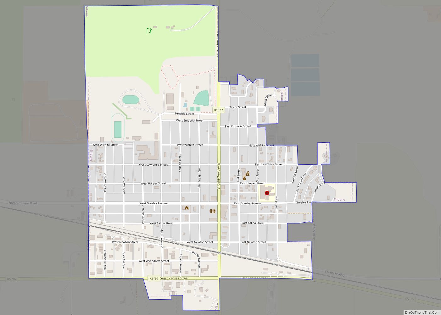
Tribune is a city in and the county seat of Greeley County, Kansas, United States. As of the 2020 census, the population of the city was 772. Tribune city overview: Name: Tribune city LSAD Code: 25 LSAD Description: city (suffix) State: Kansas County: Greeley County Founded: 1886 Incorporated: 1888 Elevation: 3,612 ft (1,101 m) Total Area: 0.74 sq mi ... Read more
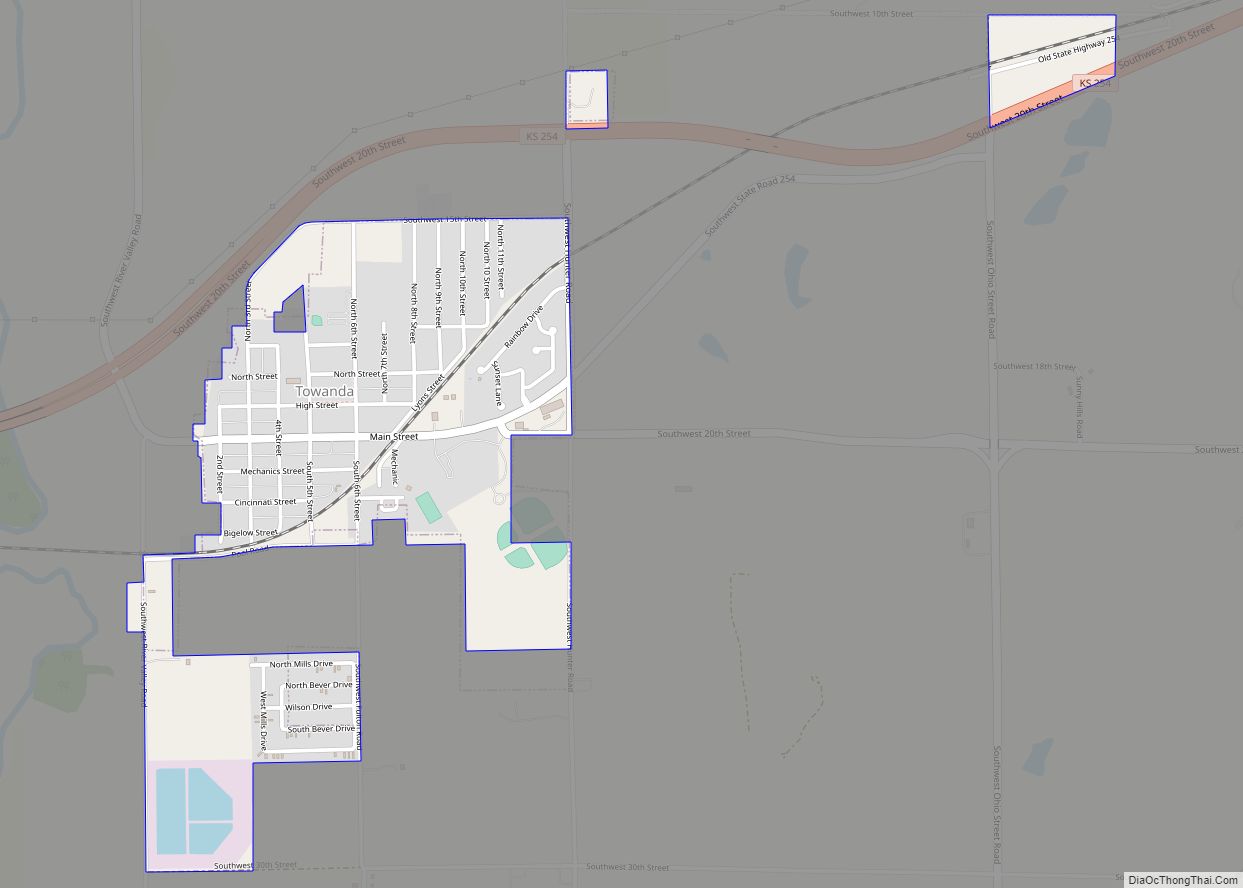
Towanda is a city in Butler County, Kansas, United States. As of the 2020 census, the population of the city was 1,447. Towanda city overview: Name: Towanda city LSAD Code: 25 LSAD Description: city (suffix) State: Kansas County: Butler County Founded: 1870 Incorporated: 1905 Elevation: 1,293 ft (394 m) Total Area: 0.92 sq mi (2.38 km²) Land Area: 0.91 sq mi (2.37 km²) ... Read more
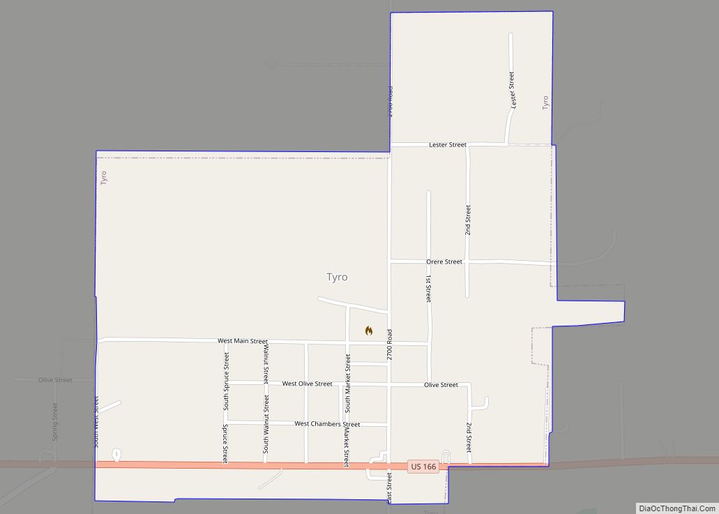
Tyro is a city in Montgomery County, Kansas, United States. As of the 2020 census, the population of the city was 177. Tyro city overview: Name: Tyro city LSAD Code: 25 LSAD Description: city (suffix) State: Kansas County: Montgomery County Founded: 1886 Incorporated: 1906 Elevation: 889 ft (271 m) Total Area: 0.52 sq mi (1.35 km²) Land Area: 0.52 sq mi (1.34 km²) ... Read more
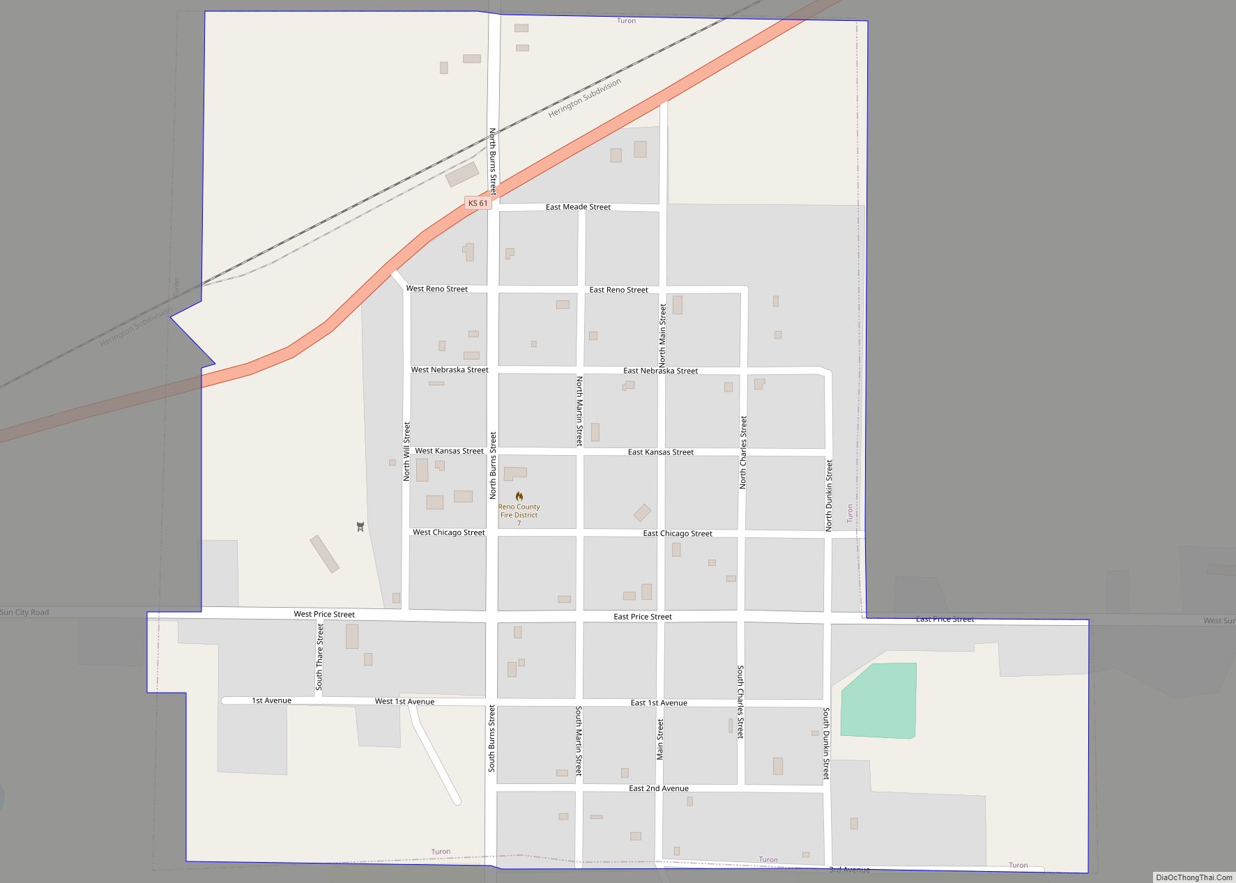
Turon is a city in Reno County, Kansas, United States. As of the 2020 census, the population of the city was 309. Turon city overview: Name: Turon city LSAD Code: 25 LSAD Description: city (suffix) State: Kansas County: Reno County Founded: 1886 Incorporated: 1905 Elevation: 1,762 ft (537 m) Total Area: 0.45 sq mi (1.15 km²) Land Area: 0.45 sq mi (1.15 km²) ... Read more
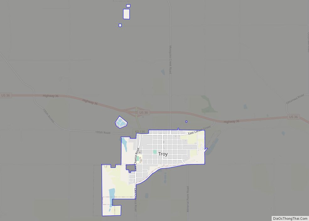
Troy is a city in and the county seat of Doniphan County, Kansas, United States. As of the 2020 census, the population of the city was 964. Troy city overview: Name: Troy city LSAD Code: 25 LSAD Description: city (suffix) State: Kansas County: Doniphan County Founded: 1855 Incorporated: 1860 Elevation: 1,099 ft (335 m) Total Area: 0.98 sq mi ... Read more
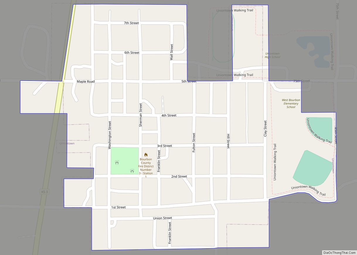
Uniontown is a city in Bourbon County, Kansas, United States. As of the 2020 census, the population of the city was 293. Uniontown city overview: Name: Uniontown city LSAD Code: 25 LSAD Description: city (suffix) State: Kansas County: Bourbon County Incorporated: 1895 Elevation: 892 ft (272 m) Total Area: 0.21 sq mi (0.55 km²) Land Area: 0.21 sq mi (0.55 km²) Water Area: ... Read more
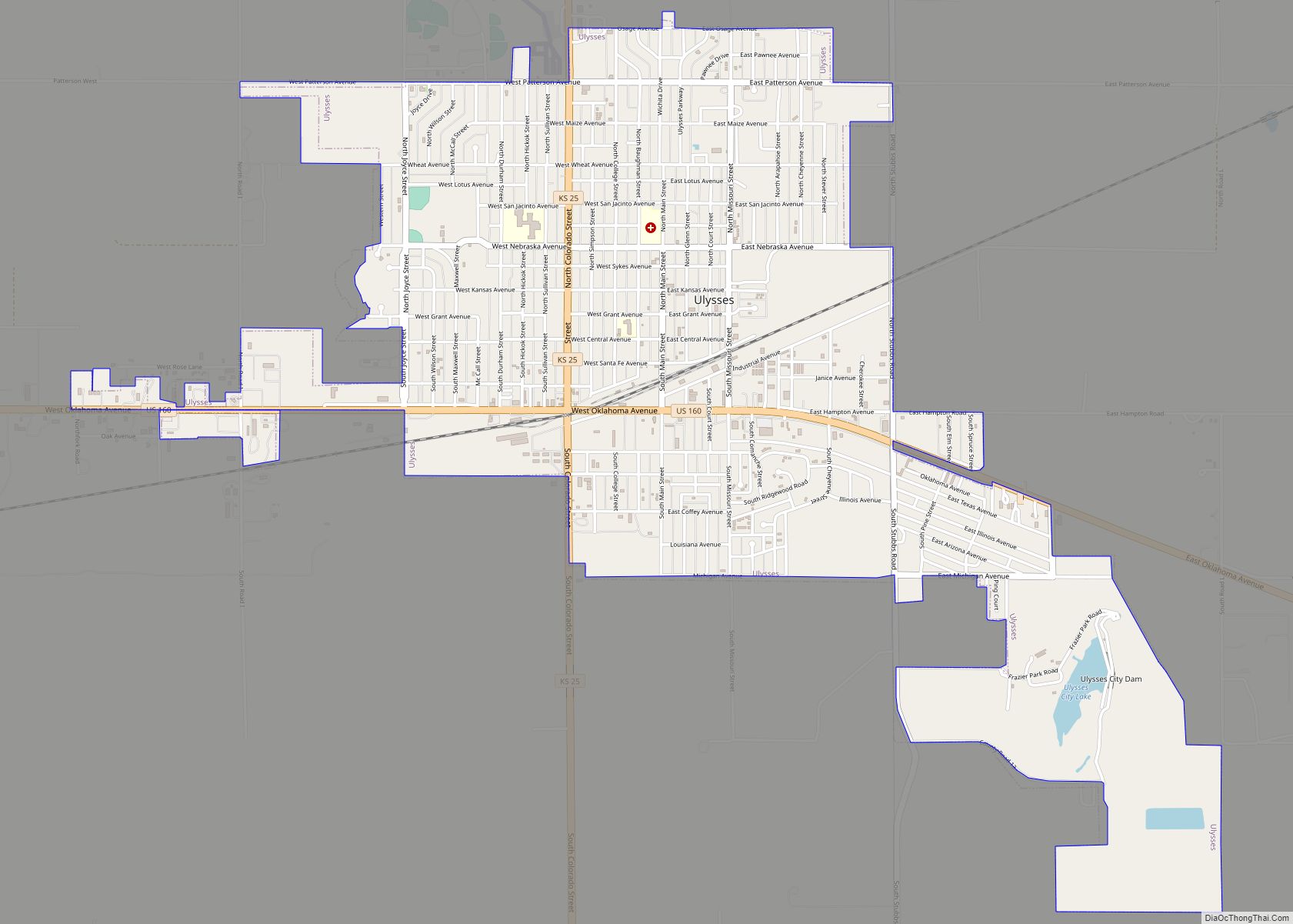
Ulysses (pronounced /juːˈlɪsɪs/) is a city in and the county seat of Grant County, Kansas, United States. It is named after Ulysses S. Grant, the 18th President of the United States. As of the 2020 census, the population of the city was 5,788. Ulysses city overview: Name: Ulysses city LSAD Code: 25 LSAD Description: city ... Read more
