Towanda is a city in Butler County, Kansas, United States. As of the 2020 census, the population of the city was 1,447.
| Name: | Towanda city |
|---|---|
| LSAD Code: | 25 |
| LSAD Description: | city (suffix) |
| State: | Kansas |
| County: | Butler County |
| Founded: | 1870 |
| Incorporated: | 1905 |
| Elevation: | 1,293 ft (394 m) |
| Total Area: | 0.92 sq mi (2.38 km²) |
| Land Area: | 0.91 sq mi (2.37 km²) |
| Water Area: | 0.01 sq mi (0.01 km²) |
| Total Population: | 1,447 |
| Population Density: | 1,600/sq mi (610/km²) |
| ZIP code: | 67144 |
| Area code: | 316 |
| FIPS code: | 2071125 |
| Website: | cityoftowanda.com |
Online Interactive Map
Click on ![]() to view map in "full screen" mode.
to view map in "full screen" mode.
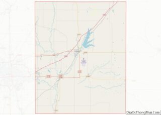
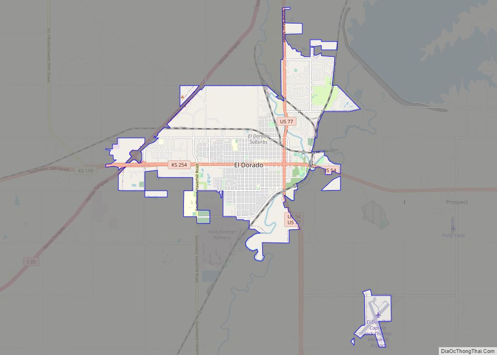
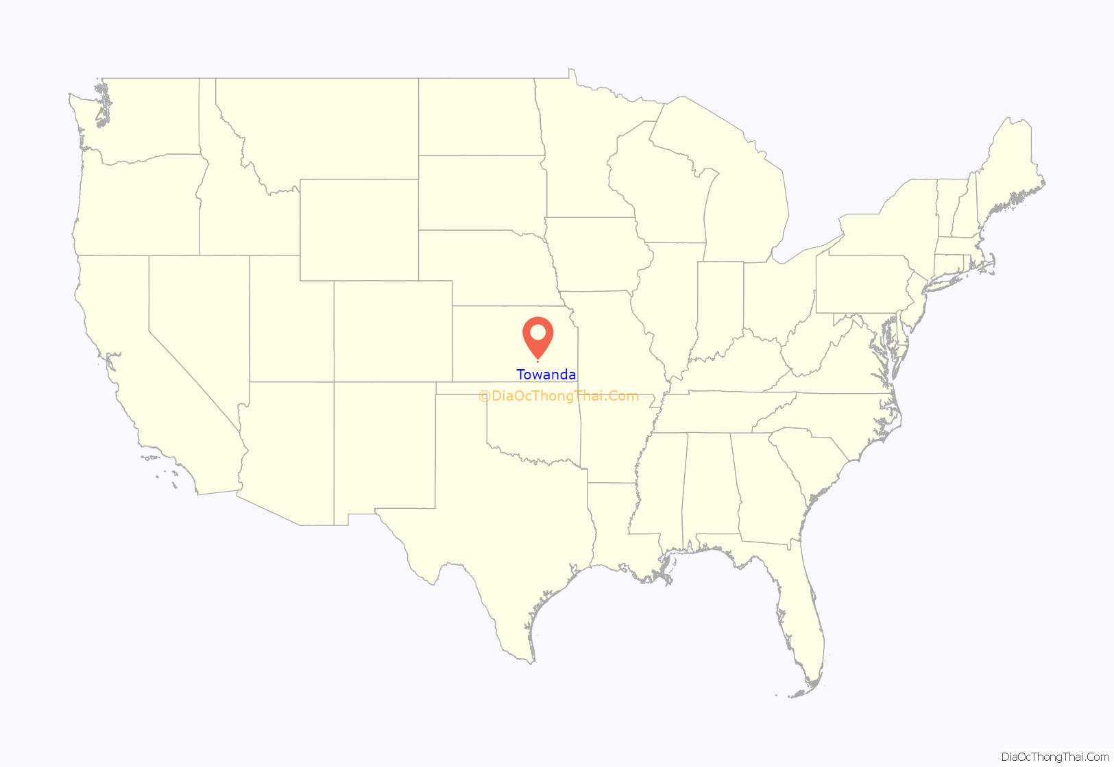
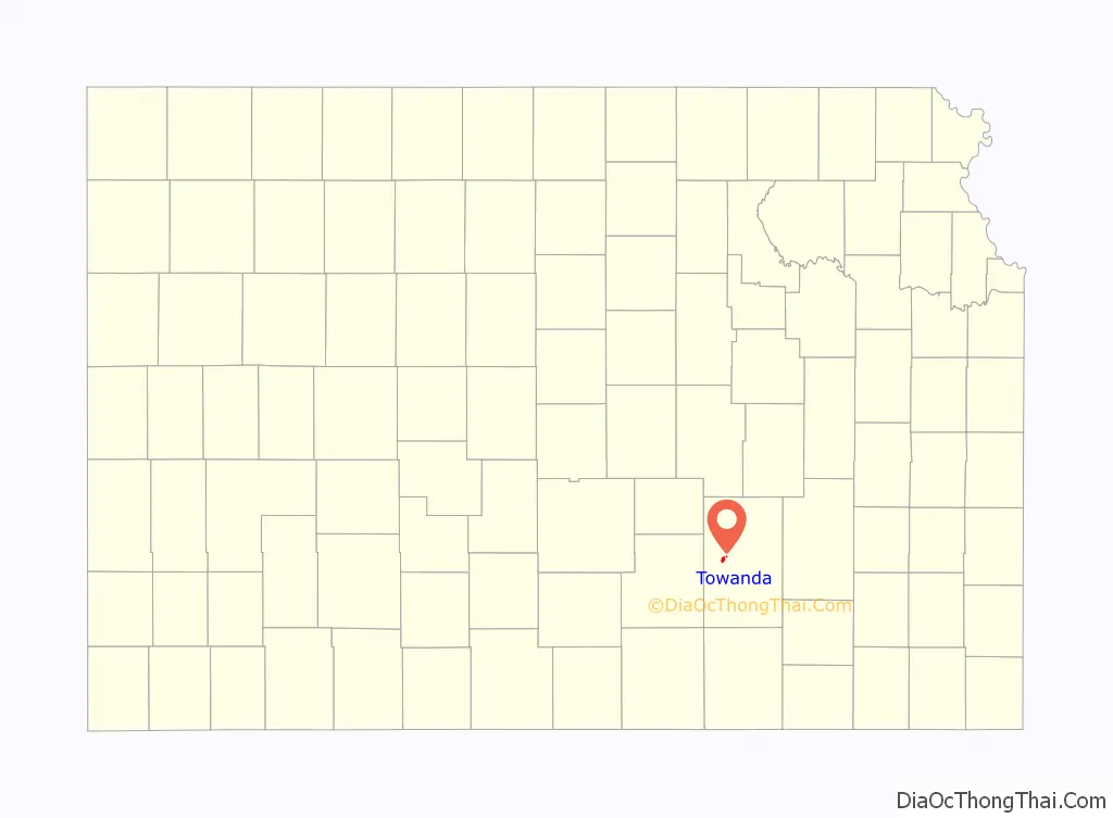
Towanda location map. Where is Towanda city?
History
Towanda was established in 1870 and incorporated in 1905. Towanda is an Osage-language name meaning “big village”.
An F4 tornado devastated the town on March 31, 1892, killing at least nine people and injuring 60.
21st century
In 2010, the Keystone-Cushing Pipeline (Phase II) was constructed a few blocks west of Towanda (immediately west of SW River Valley Rd), running north to south through Butler County. With much controversy over tax exemption and environmental concerns (if a leak ever occurs).
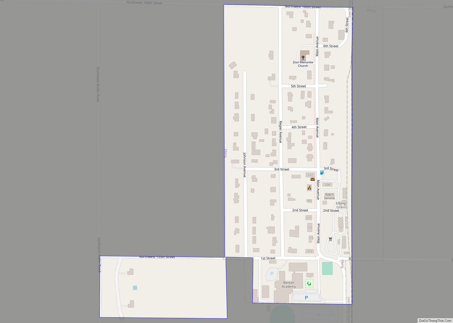
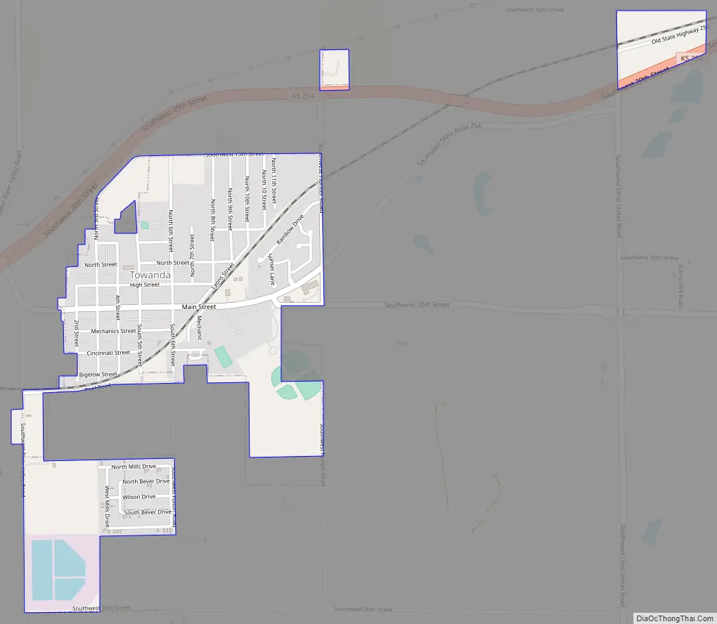
Towanda Road Map
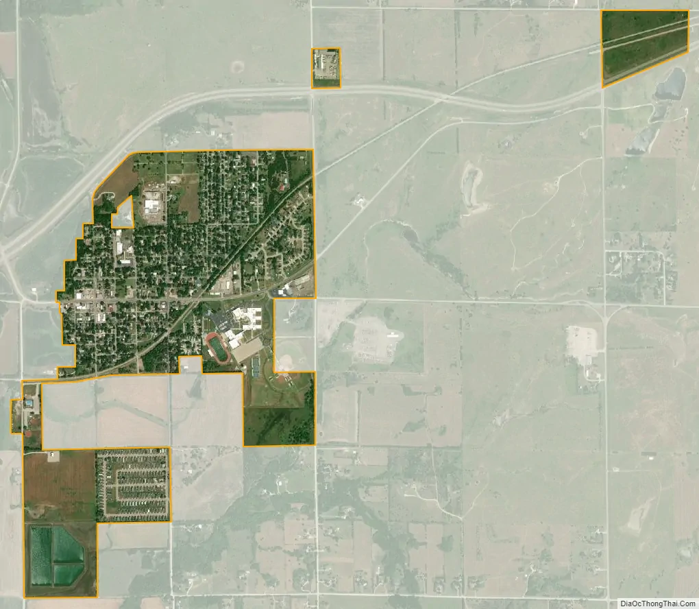
Towanda city Satellite Map
Geography
Towanda is located at 37°47′45″N 96°59′58″W / 37.79583°N 96.99944°W / 37.79583; -96.99944 (37.795921, -96.999380), along the Whitewater River. According to the United States Census Bureau, the city has a total area of 1.06 square miles (2.75 km), all of it land.
See also
Map of Kansas State and its subdivision:- Allen
- Anderson
- Atchison
- Barber
- Barton
- Bourbon
- Brown
- Butler
- Chase
- Chautauqua
- Cherokee
- Cheyenne
- Clark
- Clay
- Cloud
- Coffey
- Comanche
- Cowley
- Crawford
- Decatur
- Dickinson
- Doniphan
- Douglas
- Edwards
- Elk
- Ellis
- Ellsworth
- Finney
- Ford
- Franklin
- Geary
- Gove
- Graham
- Grant
- Gray
- Greeley
- Greenwood
- Hamilton
- Harper
- Harvey
- Haskell
- Hodgeman
- Jackson
- Jefferson
- Jewell
- Johnson
- Kearny
- Kingman
- Kiowa
- Labette
- Lane
- Leavenworth
- Lincoln
- Linn
- Logan
- Lyon
- Marion
- Marshall
- McPherson
- Meade
- Miami
- Mitchell
- Montgomery
- Morris
- Morton
- Nemaha
- Neosho
- Ness
- Norton
- Osage
- Osborne
- Ottawa
- Pawnee
- Phillips
- Pottawatomie
- Pratt
- Rawlins
- Reno
- Republic
- Rice
- Riley
- Rooks
- Rush
- Russell
- Saline
- Scott
- Sedgwick
- Seward
- Shawnee
- Sheridan
- Sherman
- Smith
- Stafford
- Stanton
- Stevens
- Sumner
- Thomas
- Trego
- Wabaunsee
- Wallace
- Washington
- Wichita
- Wilson
- Woodson
- Wyandotte
- Alabama
- Alaska
- Arizona
- Arkansas
- California
- Colorado
- Connecticut
- Delaware
- District of Columbia
- Florida
- Georgia
- Hawaii
- Idaho
- Illinois
- Indiana
- Iowa
- Kansas
- Kentucky
- Louisiana
- Maine
- Maryland
- Massachusetts
- Michigan
- Minnesota
- Mississippi
- Missouri
- Montana
- Nebraska
- Nevada
- New Hampshire
- New Jersey
- New Mexico
- New York
- North Carolina
- North Dakota
- Ohio
- Oklahoma
- Oregon
- Pennsylvania
- Rhode Island
- South Carolina
- South Dakota
- Tennessee
- Texas
- Utah
- Vermont
- Virginia
- Washington
- West Virginia
- Wisconsin
- Wyoming