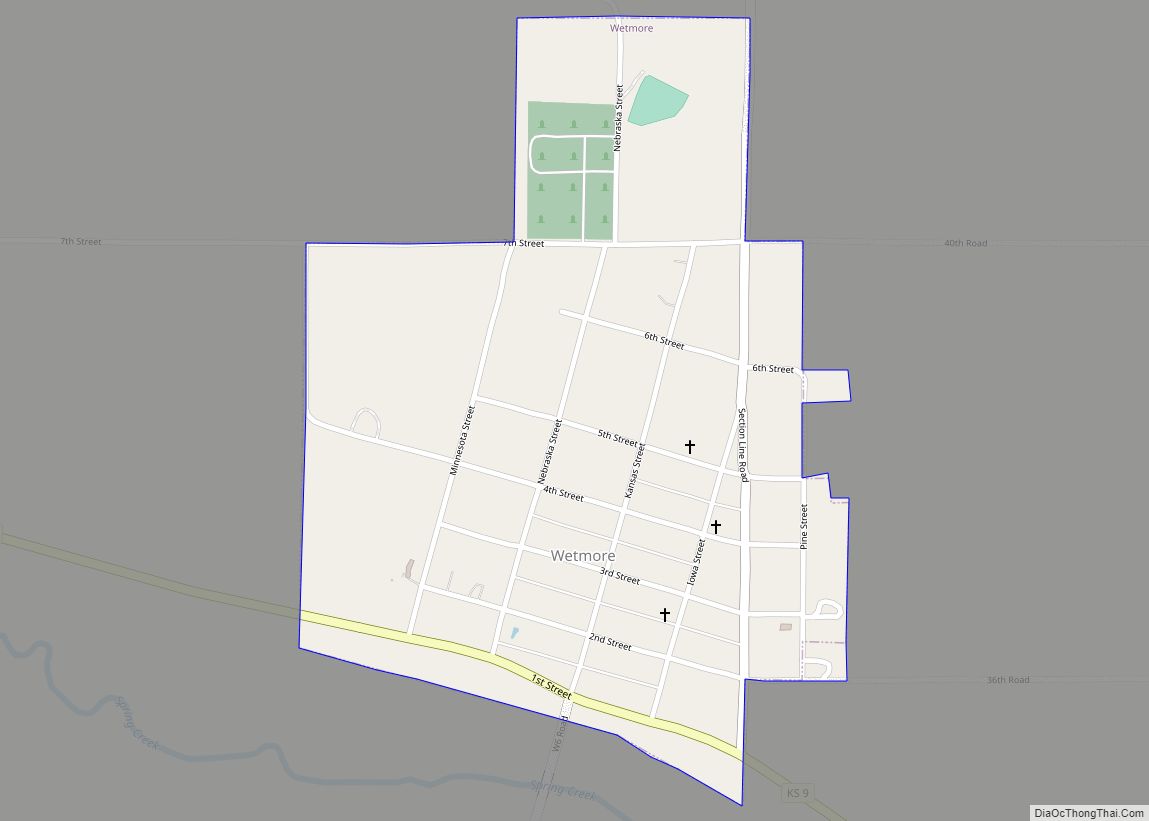
Wetmore is a city in Nemaha County, Kansas, United States. As of the 2020 census, the population of the city was 348. Wetmore city overview: Name: Wetmore city LSAD Code: 25 LSAD Description: city (suffix) State: Kansas County: Nemaha County Founded: 1866 Incorporated: 1882 Elevation: 1,132 ft (345 m) Total Area: 0.39 sq mi (1.00 km²) Land Area: 0.39 sq mi (1.00 km²) ... Read more
Kansas Cities and Places
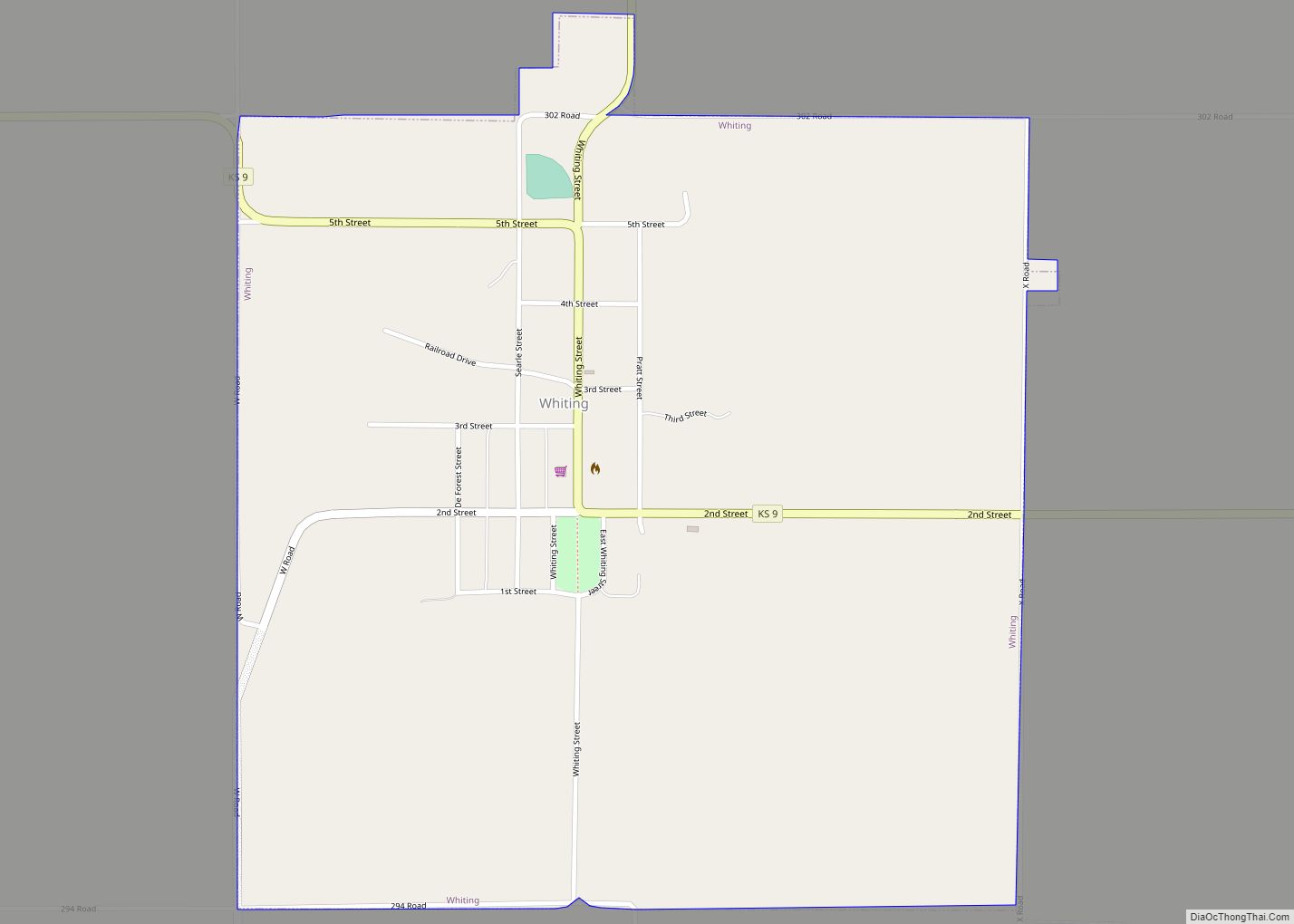
Whiting is a city in Jackson County, Kansas, United States. As of the 2020 census, the population of the city was 191. Whiting city overview: Name: Whiting city LSAD Code: 25 LSAD Description: city (suffix) State: Kansas County: Jackson County Founded: 1866 Elevation: 1,116 ft (340 m) Total Area: 1.01 sq mi (2.61 km²) Land Area: 1.01 sq mi (2.61 km²) Water Area: ... Read more
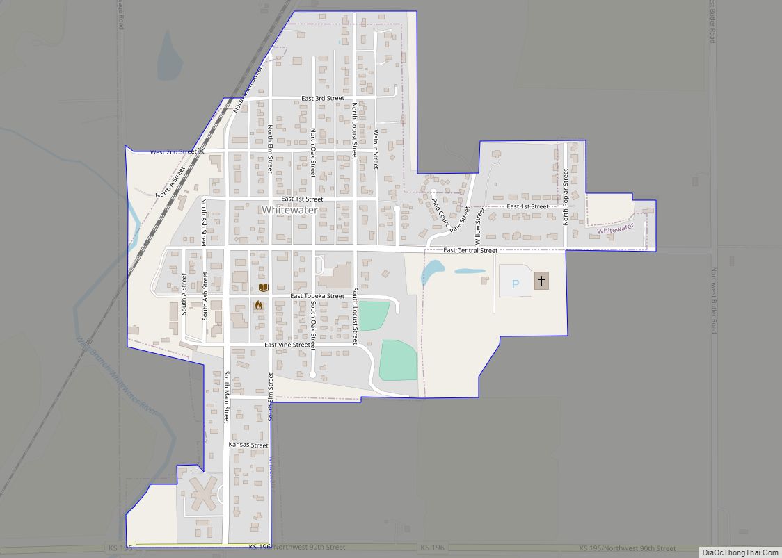
Whitewater is a city in Butler County, Kansas, United States. As of the 2020 census, the population of the city was 661. Whitewater city overview: Name: Whitewater city LSAD Code: 25 LSAD Description: city (suffix) State: Kansas County: Butler County Founded: 1870s Incorporated: 1890 Elevation: 1,368 ft (417 m) Total Area: 0.41 sq mi (1.06 km²) Land Area: 0.41 sq mi (1.06 km²) ... Read more
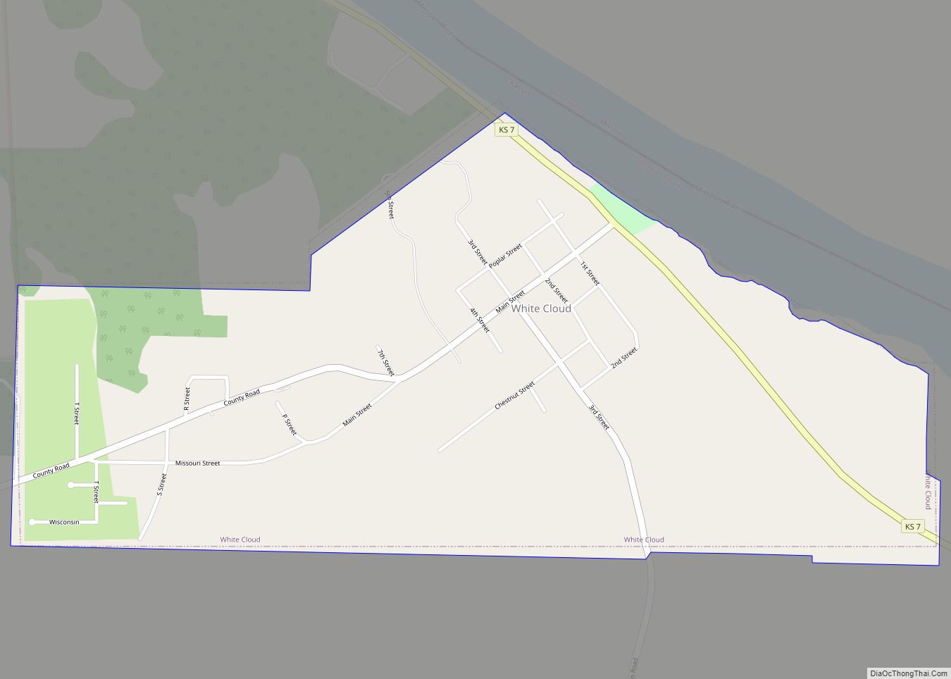
White Cloud (Ioway: Chína Maxúthga pronounced [tʃʰiꜜnã mãxuθꜜkɐ] or Chína Maxúhga pronounced [tʃʰiꜜnã mãxuhꜜkɐ], meaning “Village Cloud-White”) is a city in Doniphan County, Kansas, United States. As of the 2020 census, the population of the city was 115. It was named for Francis White Cloud, a son of Chief White Cloud of the Iowa people. ... Read more
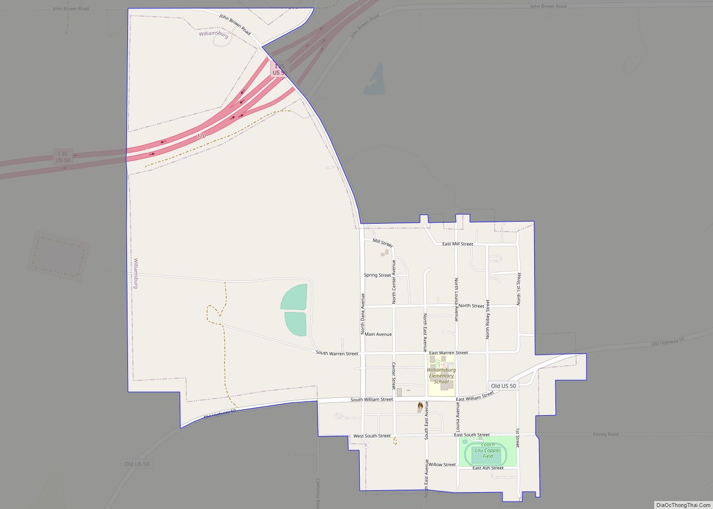
Williamsburg is a city in Franklin County, Kansas, United States. As of the 2020 census, the population of the city was 390. Williamsburg city overview: Name: Williamsburg city LSAD Code: 25 LSAD Description: city (suffix) State: Kansas County: Franklin County Founded: 1868 Incorporated: 1869 Elevation: 1,142 ft (348 m) Total Area: 0.74 sq mi (1.92 km²) Land Area: 0.74 sq mi (1.91 km²) ... Read more
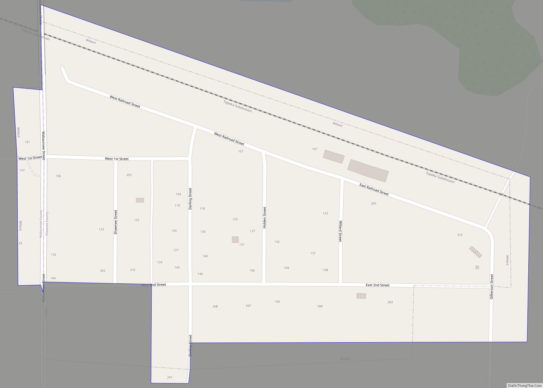
Willard is a city in Shawnee and Wabaunsee counties in the State of Kansas in the United States. As of the 2020 census, the population of the city was 74. Willard city overview: Name: Willard city LSAD Code: 25 LSAD Description: city (suffix) State: Kansas County: Shawnee County, Wabaunsee County Founded: 1880s Incorporated: 1912 Elevation: ... Read more
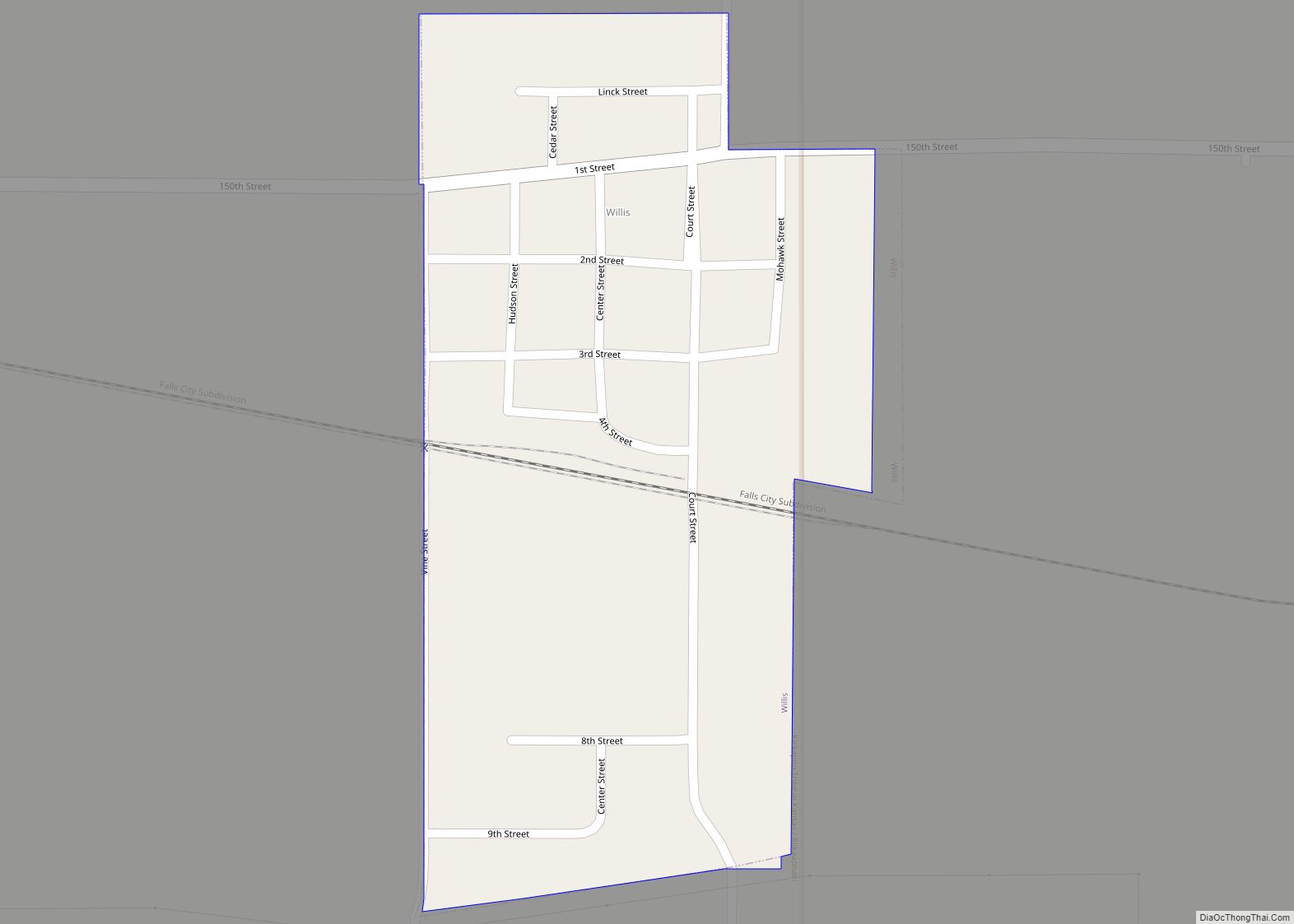
Willis is a city in Brown County, Kansas, United States. As of the 2020 census, the population of the city was 24. Willis city overview: Name: Willis city LSAD Code: 25 LSAD Description: city (suffix) State: Kansas County: Brown County Founded: 1880s Incorporated: 1893 Elevation: 1,161 ft (354 m) Total Area: 0.16 sq mi (0.42 km²) Land Area: 0.16 sq mi (0.42 km²) ... Read more
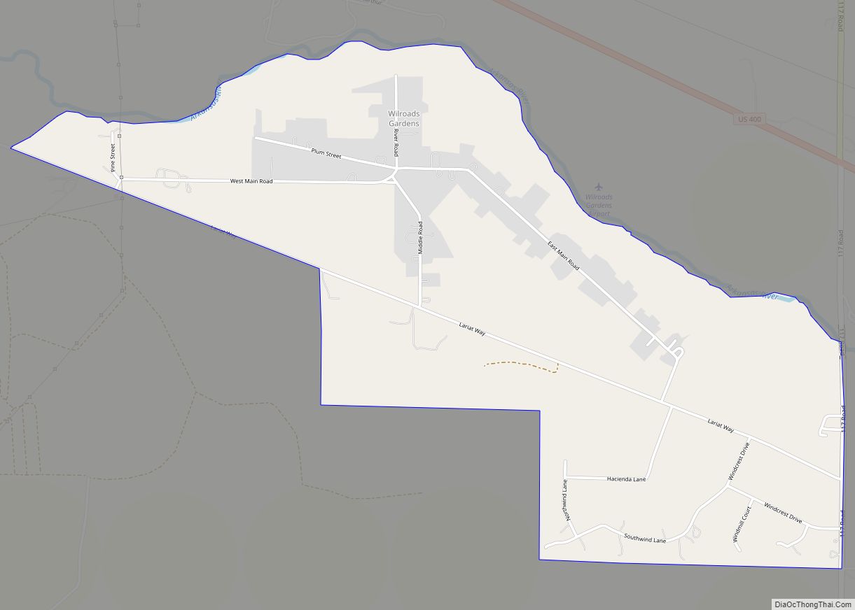
Wilroads Gardens is an unincorporated community in Ford County, Kansas, United States. As of the 2020 census, the population of the community and nearby areas was 639. Wilroads Gardens CDP overview: Name: Wilroads Gardens CDP LSAD Code: 57 LSAD Description: CDP (suffix) State: Kansas County: Ford County Elevation: 2,444 ft (745 m) Total Area: 2.253 sq mi (5.84 km²) Land ... Read more
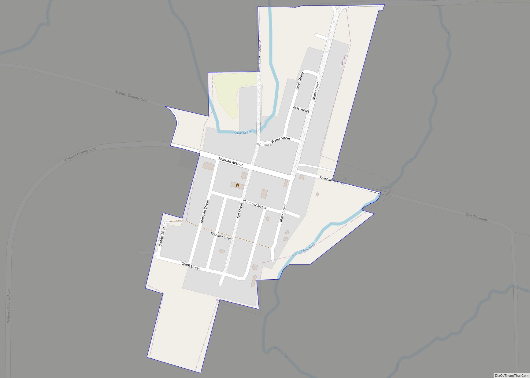
Wilmore is a city in Comanche County, Kansas, United States. As of the 2020 census, the population of the city was 37. Wilmore city overview: Name: Wilmore city LSAD Code: 25 LSAD Description: city (suffix) State: Kansas County: Comanche County Founded: 1887 Incorporated: 1920 Elevation: 2,021 ft (616 m) Total Area: 0.18 sq mi (0.46 km²) Land Area: 0.18 sq mi (0.46 km²) ... Read more
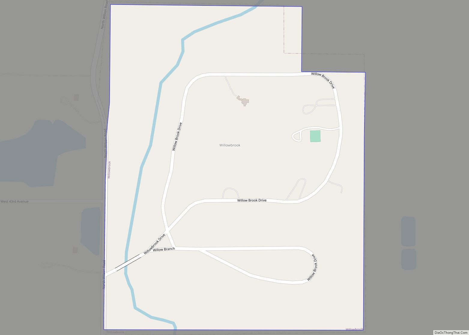
Willowbrook is a city in Reno County, Kansas, United States. As of the 2020 census, the population of the city was 71. It is a northwest suburb of Hutchinson. Willowbrook city overview: Name: Willowbrook city LSAD Code: 25 LSAD Description: city (suffix) State: Kansas County: Reno County Founded: 1950s Incorporated: 1952 Elevation: 1,555 ft (474 m) Total ... Read more
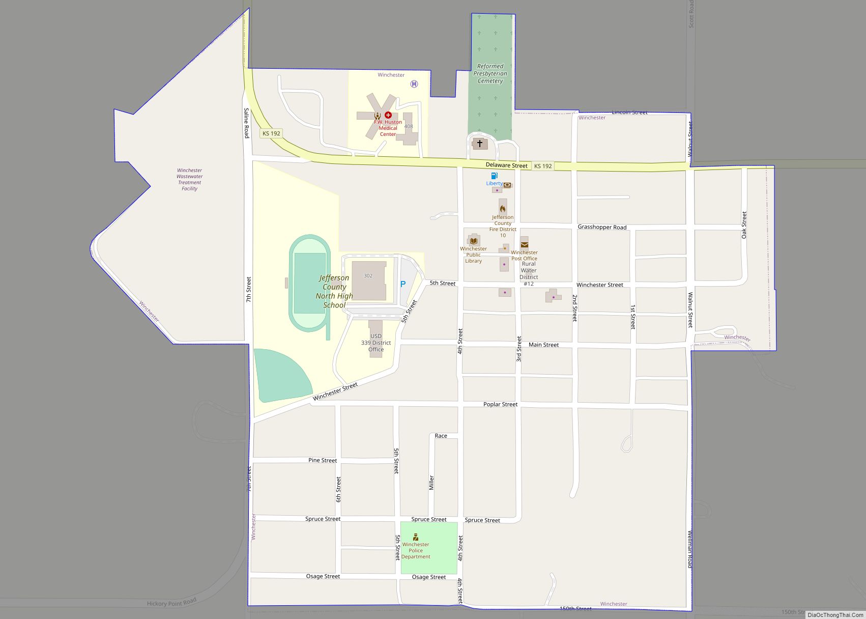
Winchester is a city in Jefferson County, Kansas, United States. As of the 2020 census, the population of the city was 461. Winchester city overview: Name: Winchester city LSAD Code: 25 LSAD Description: city (suffix) State: Kansas County: Jefferson County Incorporated: 1903 Elevation: 1,171 ft (357 m) Total Area: 0.36 sq mi (0.93 km²) Land Area: 0.35 sq mi (0.90 km²) Water Area: ... Read more
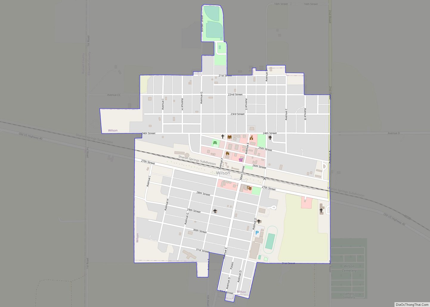
Wilson is a city in Ellsworth County, Kansas, United States. The community promotes itself as the “Czech Capital of Kansas” due to the role of Czech immigrant settlers in its early history. As of the 2020 census, the population of the city was 859. Wilson city overview: Name: Wilson city LSAD Code: 25 LSAD Description: ... Read more
