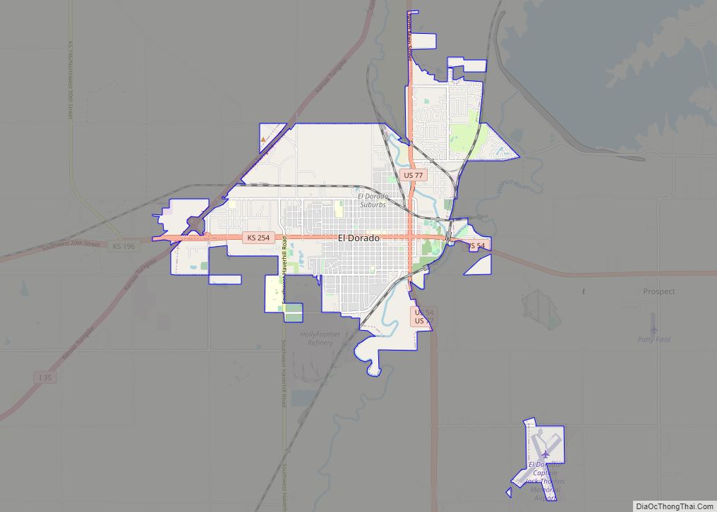
Whitewater is a city in Butler County, Kansas, United States. As of the 2020 census, the population of the city was 661.
| Name: | Whitewater city |
|---|---|
| LSAD Code: | 25 |
| LSAD Description: | city (suffix) |
| State: | Kansas |
| County: | Butler County |
| Founded: | 1870s |
| Incorporated: | 1890 |
| Elevation: | 1,368 ft (417 m) |
| Total Area: | 0.41 sq mi (1.06 km²) |
| Land Area: | 0.41 sq mi (1.06 km²) |
| Water Area: | 0.00 sq mi (0.00 km²) |
| Total Population: | 661 |
| Population Density: | 1,600/sq mi (620/km²) |
| ZIP code: | 67154 |
| Area code: | 316 |
| FIPS code: | 2078050 |
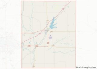
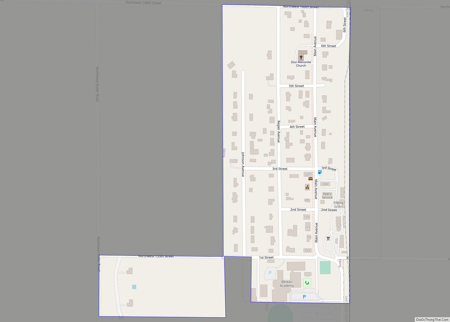
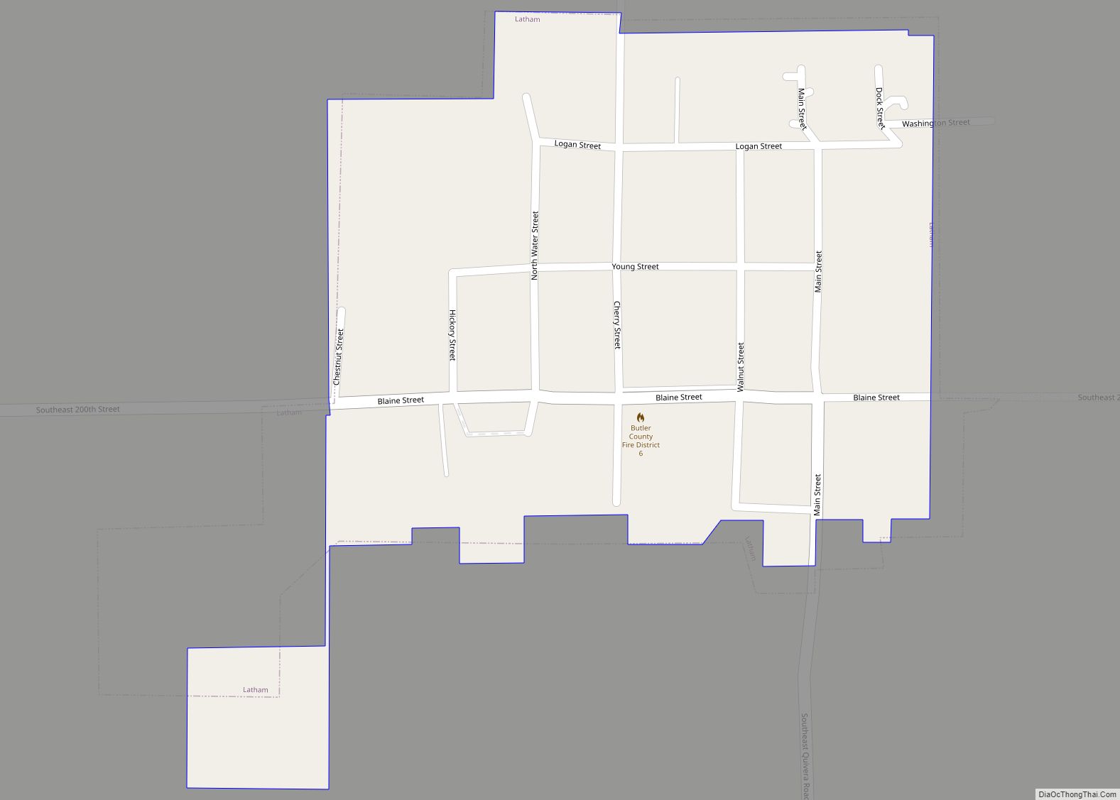
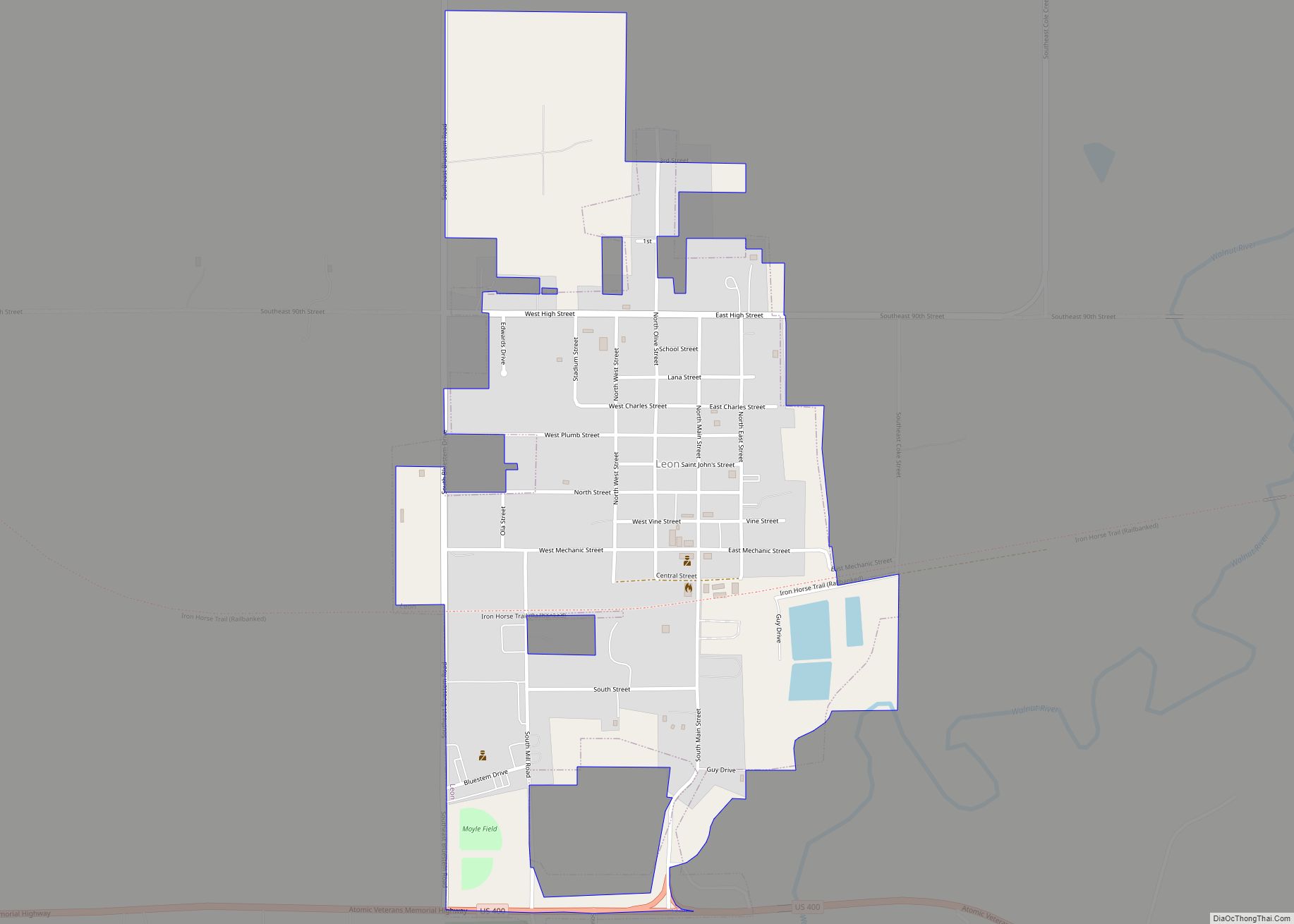
Online Interactive Map
Click on ![]() to view map in "full screen" mode.
to view map in "full screen" mode.
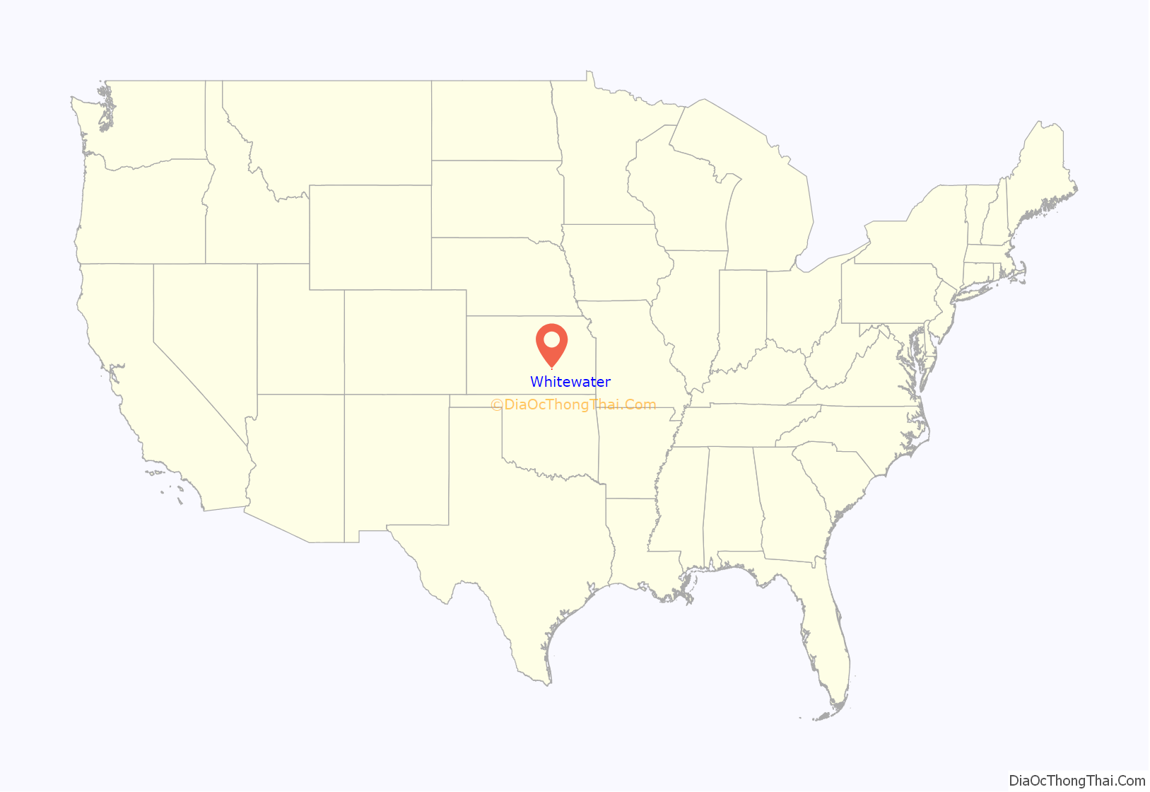
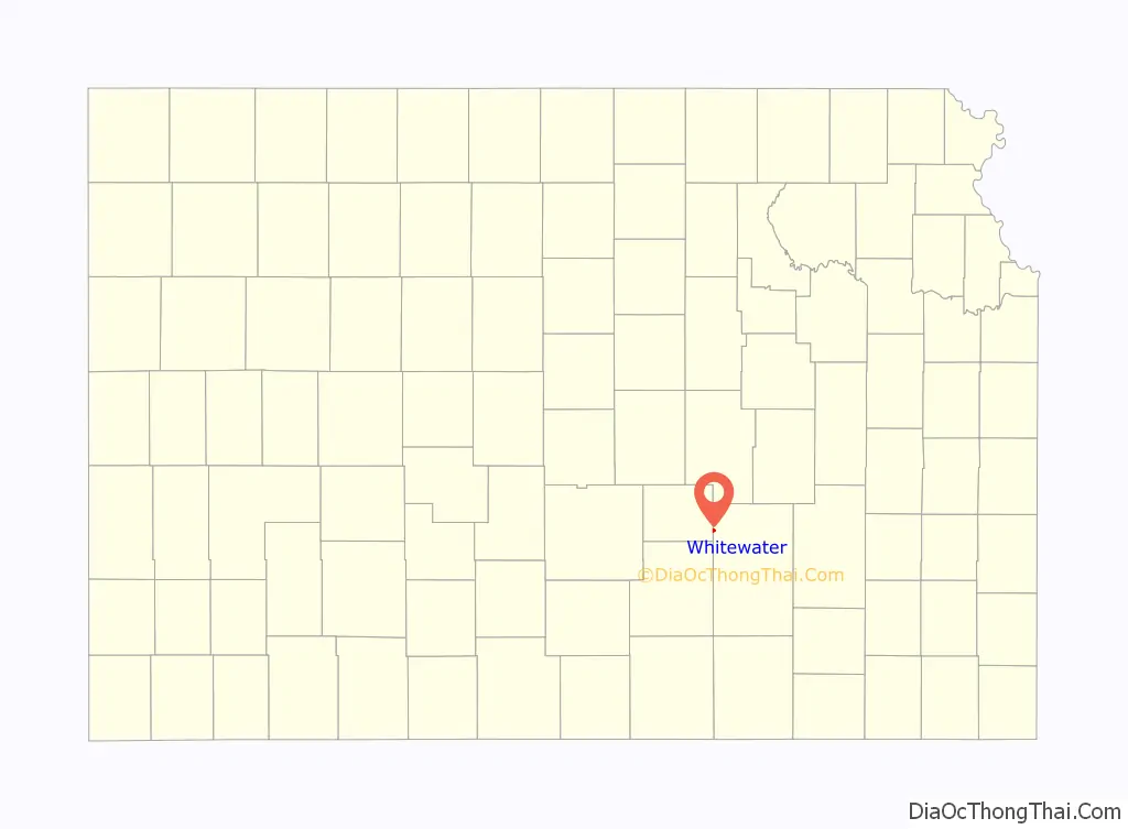
Whitewater location map. Where is Whitewater city?
History
Early history
For many millennia, the Great Plains of North America was inhabited by nomadic Native Americans. From the 16th century to 18th century, the Kingdom of France claimed ownership of large parts of North America. In 1762, after the French and Indian War, France secretly ceded New France to Spain, per the Treaty of Fontainebleau.
19th century
In 1802, Spain returned most of the land to France. In 1803, most of the land for modern day Kansas was acquired by the United States from France as part of the 828,000 square mile Louisiana Purchase for 2.83 cents per acre.
In 1854, the Kansas Territory was organized, then in 1861 Kansas became the 34th U.S. state. In 1855, Butler County was established within the Kansas Territory, which included the land for modern day Whitewater.
The city originally formed several miles to the east. A post office was established as White Water (as two words) on August 7, 1871. The post office was renamed to Ovo on July 7, 1882.
In 1887, the Chicago, Kansas and Nebraska Railway built a branch line north–south from Herington through Whitewater to Caldwell. It foreclosed in 1891 and was taken over by Chicago, Rock Island and Pacific Railway, which shut down in 1980 and reorganized as Oklahoma, Kansas and Texas Railroad, merged in 1988 with Missouri Pacific Railroad, merged in 1997 with Union Pacific Railroad. Most locals still refer to this railroad as the “Rock Island”.
Between 1885 and 1888, several buildings were moved to the present location on the Whitewater River after the Missouri Pacific railroad came through the area. The city was established where the Missouri Pacific and Rock Island railroads intersected. The post office was renamed to White Water on May 15, 1888.
20th century
The historic Oak Lawn Farm Dairy Barn was built near Whitewater in 1926.
On November 1, 1950, the post office name was changed to Whitewater (one word).
In 1961, Frederic Remington High School was built immediately north of Brainerd. Leading up to this new school, Whitewater, Potwin, Brainerd, Elbing, Furley, Countryside, and Golden Gate schools merged to form a joint rural high school. Heated opposition between Whitewater and Potwin occurred during the discussion for the location of the new high school. Rural voters pushed for a centralized location in neither town. A public vote was passed to build the new school near Brainerd.
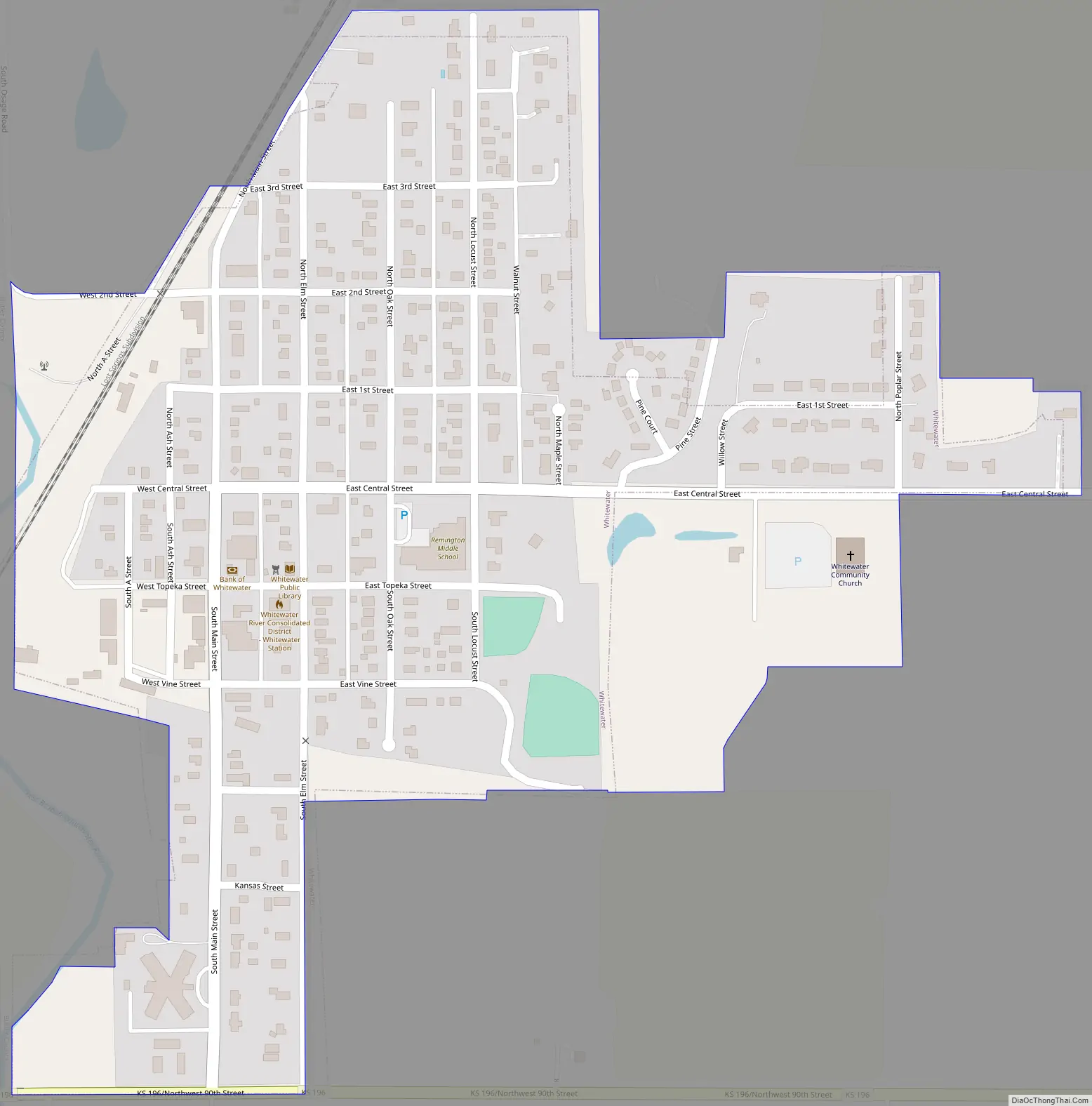
Whitewater Road Map
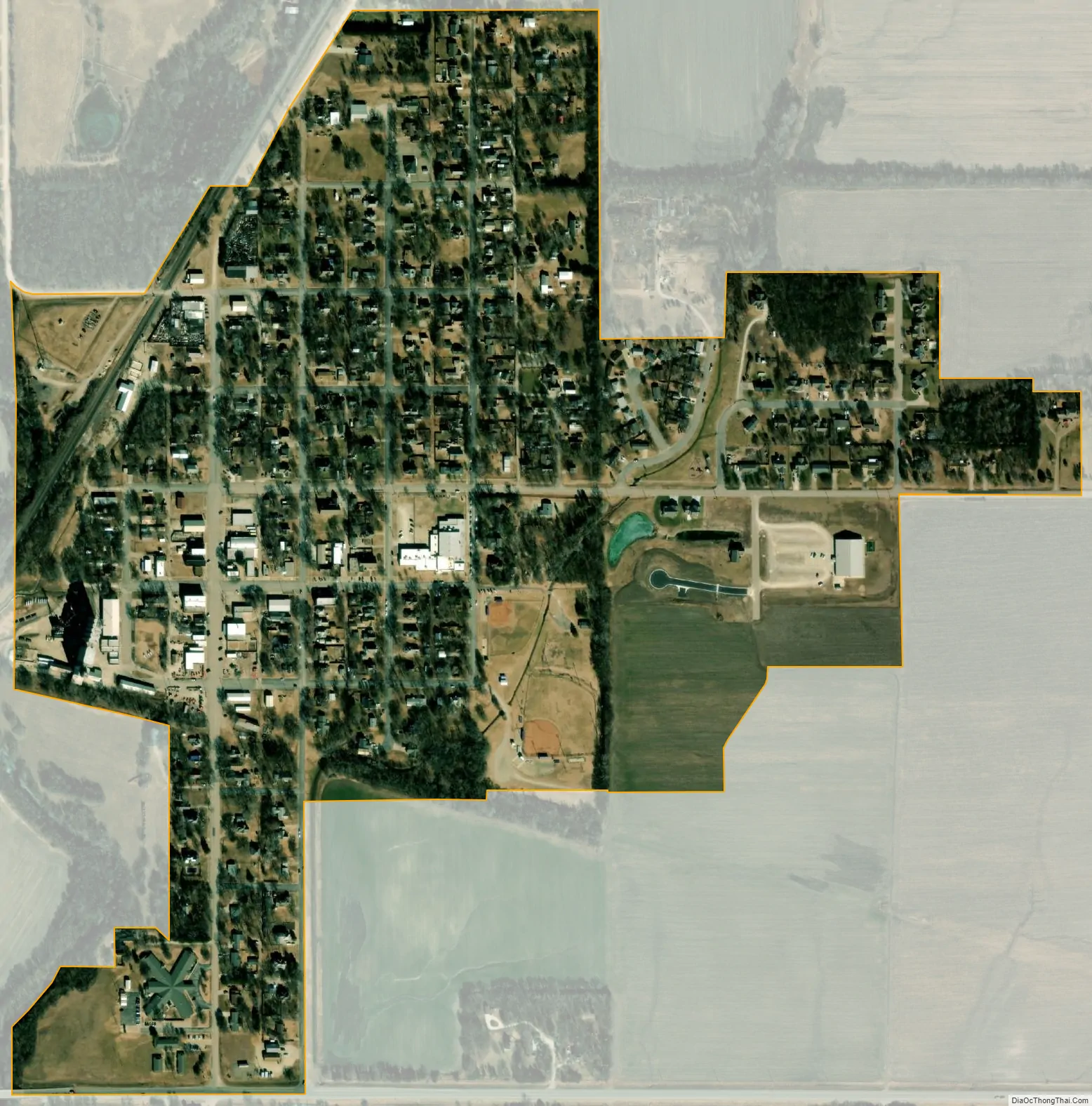
Whitewater city Satellite Map
Geography
Whitewater is located at 37°57′47″N 97°8′51″W / 37.96306°N 97.14750°W / 37.96306; -97.14750 (37.963178, -97.147435), along the West Branch of the Whitewater River. According to the United States Census Bureau, the city has a total area of 0.40 square miles (1.04 km), all of it land.
See also
Map of Kansas State and its subdivision:- Allen
- Anderson
- Atchison
- Barber
- Barton
- Bourbon
- Brown
- Butler
- Chase
- Chautauqua
- Cherokee
- Cheyenne
- Clark
- Clay
- Cloud
- Coffey
- Comanche
- Cowley
- Crawford
- Decatur
- Dickinson
- Doniphan
- Douglas
- Edwards
- Elk
- Ellis
- Ellsworth
- Finney
- Ford
- Franklin
- Geary
- Gove
- Graham
- Grant
- Gray
- Greeley
- Greenwood
- Hamilton
- Harper
- Harvey
- Haskell
- Hodgeman
- Jackson
- Jefferson
- Jewell
- Johnson
- Kearny
- Kingman
- Kiowa
- Labette
- Lane
- Leavenworth
- Lincoln
- Linn
- Logan
- Lyon
- Marion
- Marshall
- McPherson
- Meade
- Miami
- Mitchell
- Montgomery
- Morris
- Morton
- Nemaha
- Neosho
- Ness
- Norton
- Osage
- Osborne
- Ottawa
- Pawnee
- Phillips
- Pottawatomie
- Pratt
- Rawlins
- Reno
- Republic
- Rice
- Riley
- Rooks
- Rush
- Russell
- Saline
- Scott
- Sedgwick
- Seward
- Shawnee
- Sheridan
- Sherman
- Smith
- Stafford
- Stanton
- Stevens
- Sumner
- Thomas
- Trego
- Wabaunsee
- Wallace
- Washington
- Wichita
- Wilson
- Woodson
- Wyandotte
- Alabama
- Alaska
- Arizona
- Arkansas
- California
- Colorado
- Connecticut
- Delaware
- District of Columbia
- Florida
- Georgia
- Hawaii
- Idaho
- Illinois
- Indiana
- Iowa
- Kansas
- Kentucky
- Louisiana
- Maine
- Maryland
- Massachusetts
- Michigan
- Minnesota
- Mississippi
- Missouri
- Montana
- Nebraska
- Nevada
- New Hampshire
- New Jersey
- New Mexico
- New York
- North Carolina
- North Dakota
- Ohio
- Oklahoma
- Oregon
- Pennsylvania
- Rhode Island
- South Carolina
- South Dakota
- Tennessee
- Texas
- Utah
- Vermont
- Virginia
- Washington
- West Virginia
- Wisconsin
- Wyoming