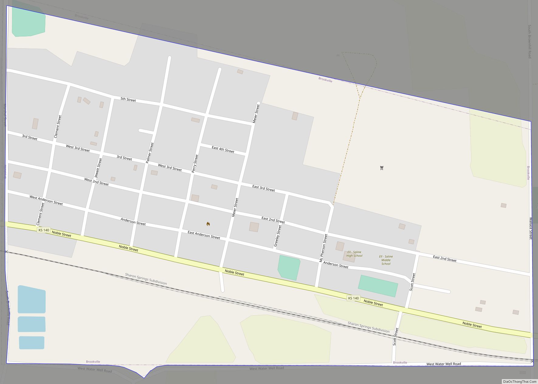
Brookville is a city in Saline County, Kansas, United States. As of the 2020 census, the population of the city was 247. Brookville city overview: Name: Brookville city LSAD Code: 25 LSAD Description: city (suffix) State: Kansas County: Saline County Founded: 1870 Incorporated: 1871 Elevation: 1,362 ft (415 m) Total Area: 0.57 sq mi (1.49 km²) Land Area: 0.57 sq mi (1.49 km²) ... Read more
Kansas Cities and Places
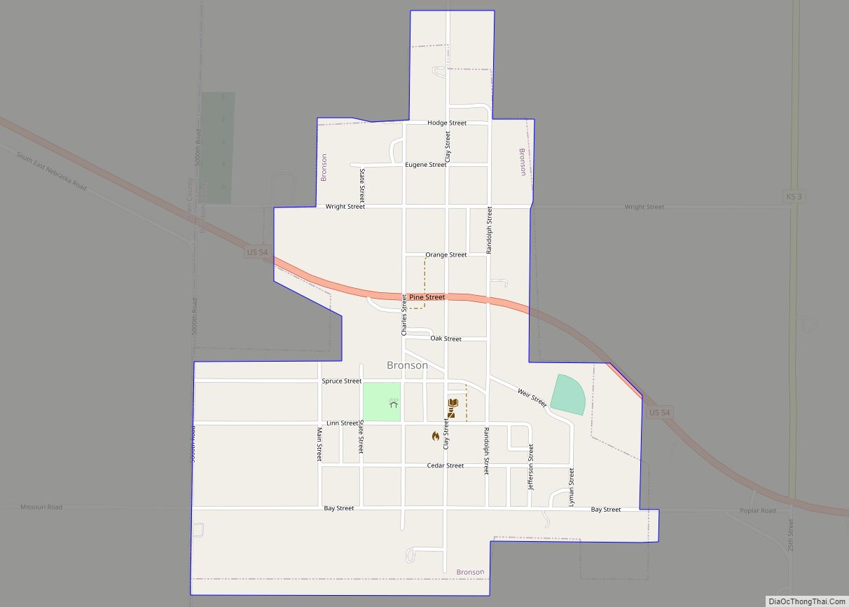
Bronson is a city in Bourbon County, Kansas, United States. As of the 2020 census, the population of the city was 304. Bronson city overview: Name: Bronson city LSAD Code: 25 LSAD Description: city (suffix) State: Kansas County: Bourbon County Founded: 1880s Incorporated: 1881 Elevation: 1,066 ft (325 m) Total Area: 0.45 sq mi (1.16 km²) Land Area: 0.45 sq mi (1.16 km²) ... Read more
Brewster is a city in Thomas County, Kansas, United States. As of the 2020 census, the population of the city was 291. Brewster city overview: Name: Brewster city LSAD Code: 25 LSAD Description: city (suffix) State: Kansas County: Thomas County Founded: 1880s Incorporated: 1920 Elevation: 3,429 ft (1,045 m) Total Area: 0.26 sq mi (0.67 km²) Land Area: 0.26 sq mi (0.67 km²) ... Read more
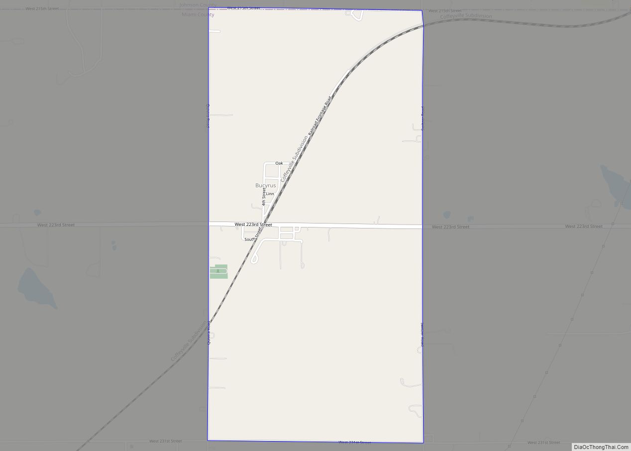
Bucyrus is an unincorporated community in Miami County, Kansas, United States. As of the 2020 census, the population of the community and nearby areas was 171. It is located 6 miles (9.7 km) east-southeast of Spring Hill, and named after Bucyrus, Ohio. It is part of the Kansas City metropolitan area. Bucyrus CDP overview: Name: Bucyrus ... Read more
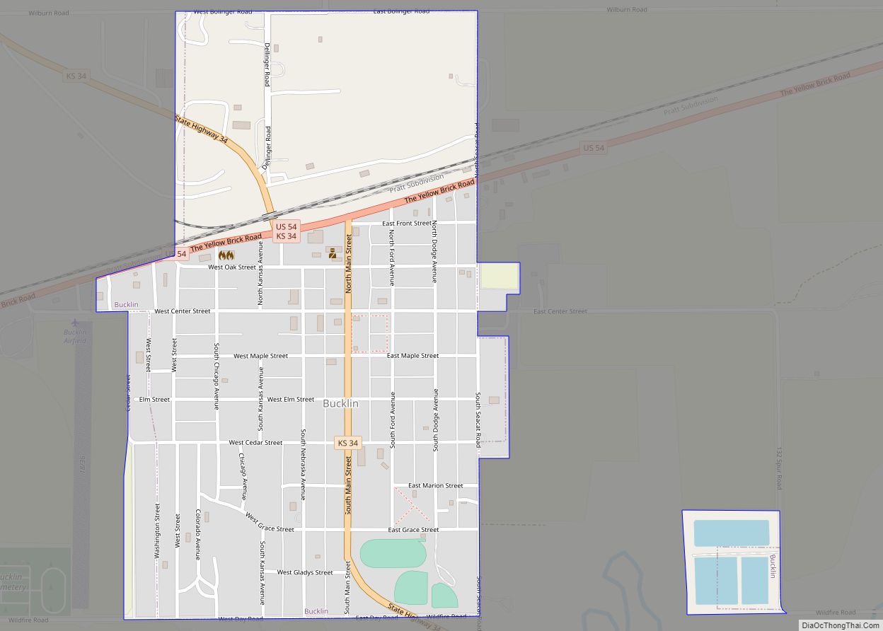
Bucklin is a city in Ford County, Kansas, United States. As of the 2020 census, the population of the city was 727. Bucklin city overview: Name: Bucklin city LSAD Code: 25 LSAD Description: city (suffix) State: Kansas County: Ford County Founded: 1880s Incorporated: 1909 (Bucklin) Elevation: 2,408 ft (734 m) Total Area: 0.60 sq mi (1.56 km²) Land Area: 0.57 sq mi ... Read more
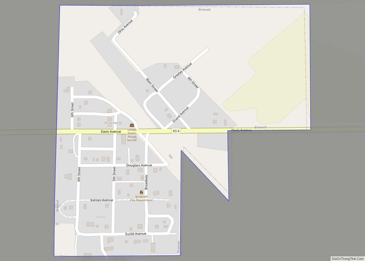
Brownell is a city in Ness County, Kansas, United States. As of the 2020 census, the population of the city was 23. Brownell city overview: Name: Brownell city LSAD Code: 25 LSAD Description: city (suffix) State: Kansas County: Ness County Founded: 1880s Incorporated: 1927 Elevation: 2,412 ft (735 m) Total Area: 0.20 sq mi (0.51 km²) Land Area: 0.20 sq mi (0.51 km²) ... Read more
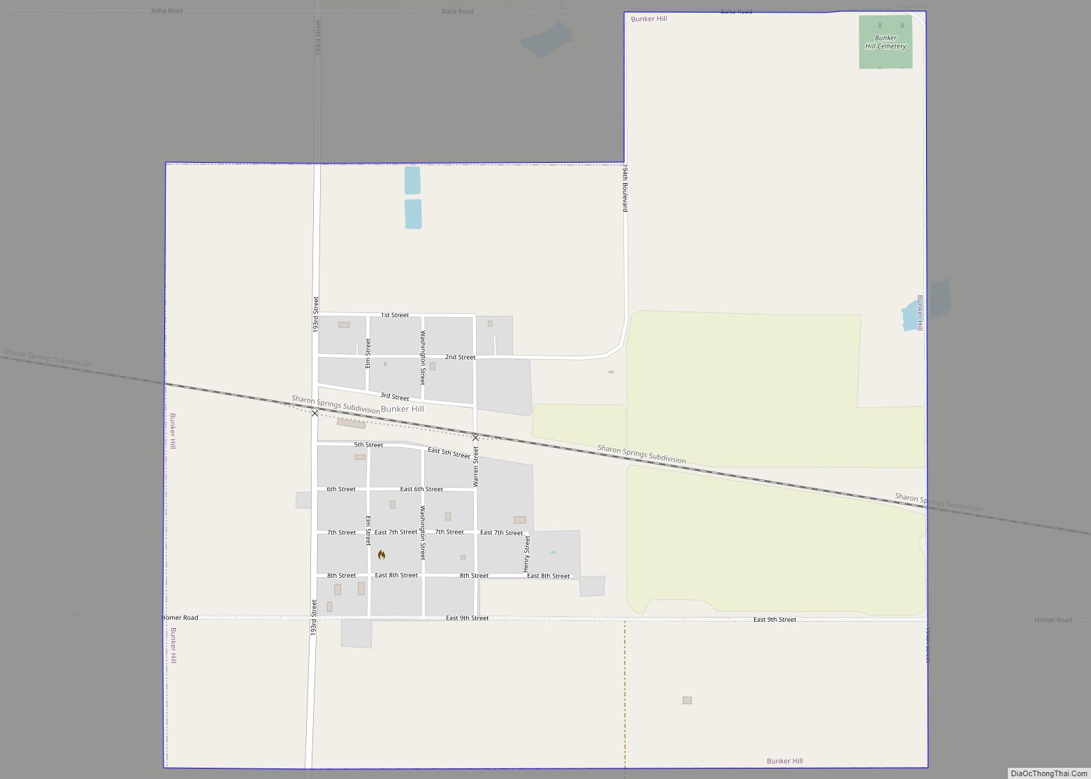
Bunker Hill is a city in Russell County, Kansas, United States. As of the 2020 census, the population of the city was 103. Bunker Hill city overview: Name: Bunker Hill city LSAD Code: 25 LSAD Description: city (suffix) State: Kansas County: Russell County Founded: 1871 Incorporated: 1886 Elevation: 1,860 ft (570 m) Total Area: 1.39 sq mi (3.59 km²) Land ... Read more
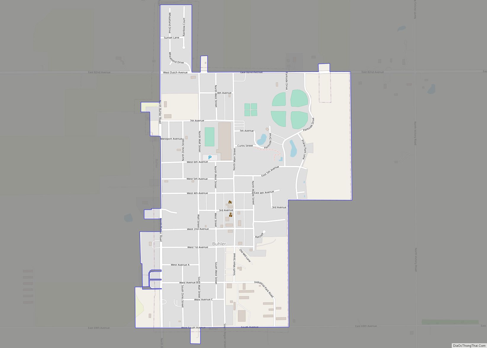
Buhler is a city in Reno County, Kansas, United States. As of the 2020 census, the population of the city was 1,325. Buhler city overview: Name: Buhler city LSAD Code: 25 LSAD Description: city (suffix) State: Kansas County: Reno County Founded: 1888 Incorporated: 1913 Elevation: 1,476 ft (450 m) Total Area: 0.71 sq mi (1.85 km²) Land Area: 0.71 sq mi (1.85 km²) ... Read more
Buffalo is a city in Wilson County, Kansas, United States. As of the 2020 census, the population of the city was 217. Buffalo city overview: Name: Buffalo city LSAD Code: 25 LSAD Description: city (suffix) State: Kansas County: Wilson County Founded: 1867 Incorporated: 1898 Elevation: 935 ft (285 m) Total Area: 0.32 sq mi (0.82 km²) Land Area: 0.32 sq mi (0.82 km²) ... Read more
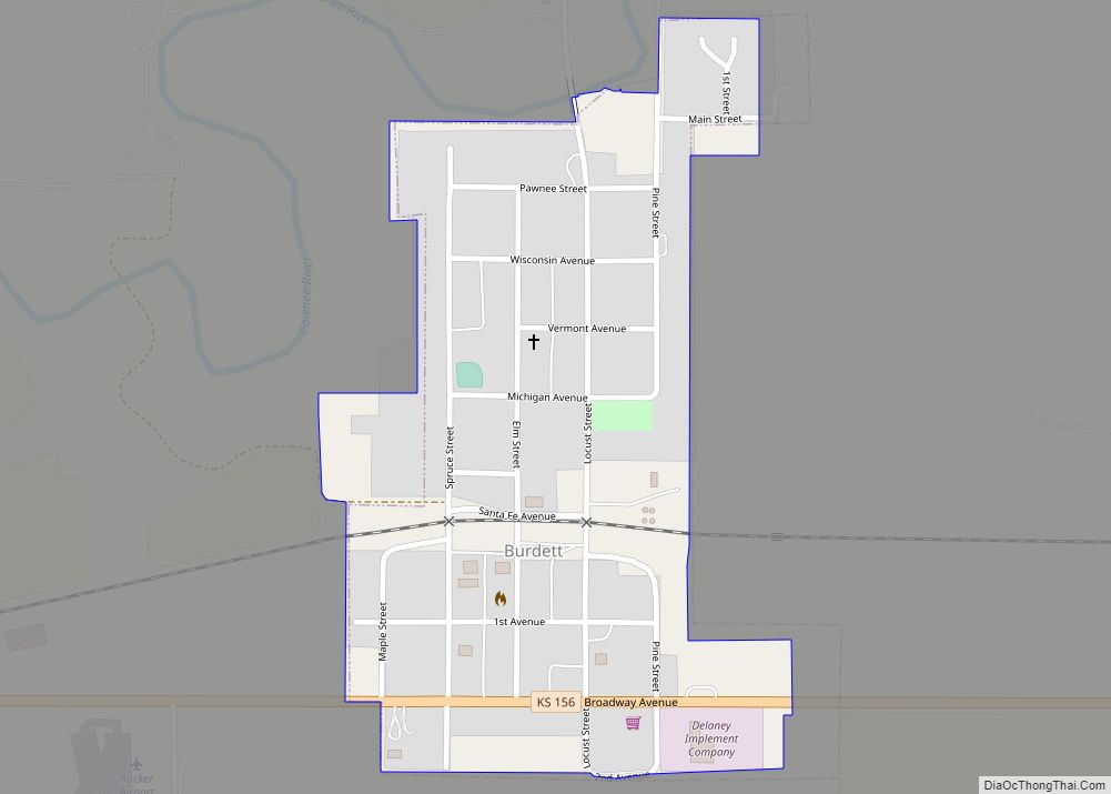
Burdett is a city in Pawnee County, Kansas, United States. As of the 2020 census, the population of the city was 228. Burdett city overview: Name: Burdett city LSAD Code: 25 LSAD Description: city (suffix) State: Kansas County: Pawnee County Founded: 1880s Incorporated: 1961 Elevation: 2,123 ft (647 m) Total Area: 0.26 sq mi (0.67 km²) Land Area: 0.26 sq mi (0.67 km²) ... Read more
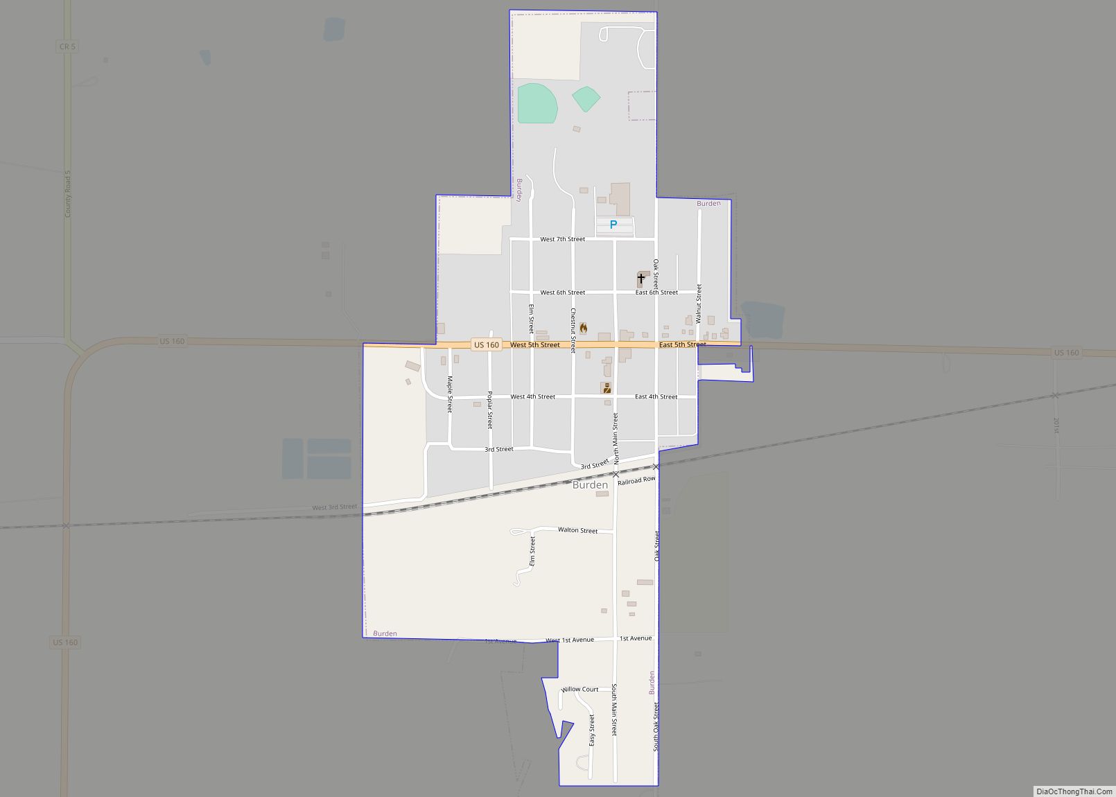
Burden is a city in Cowley County, Kansas, United States. As of the 2020 census, the population of the city was 512. Burden city overview: Name: Burden city LSAD Code: 25 LSAD Description: city (suffix) State: Kansas County: Cowley County Incorporated: 1883 Elevation: 1,378 ft (420 m) Total Area: 0.52 sq mi (1.34 km²) Land Area: 0.52 sq mi (1.34 km²) Water Area: ... Read more
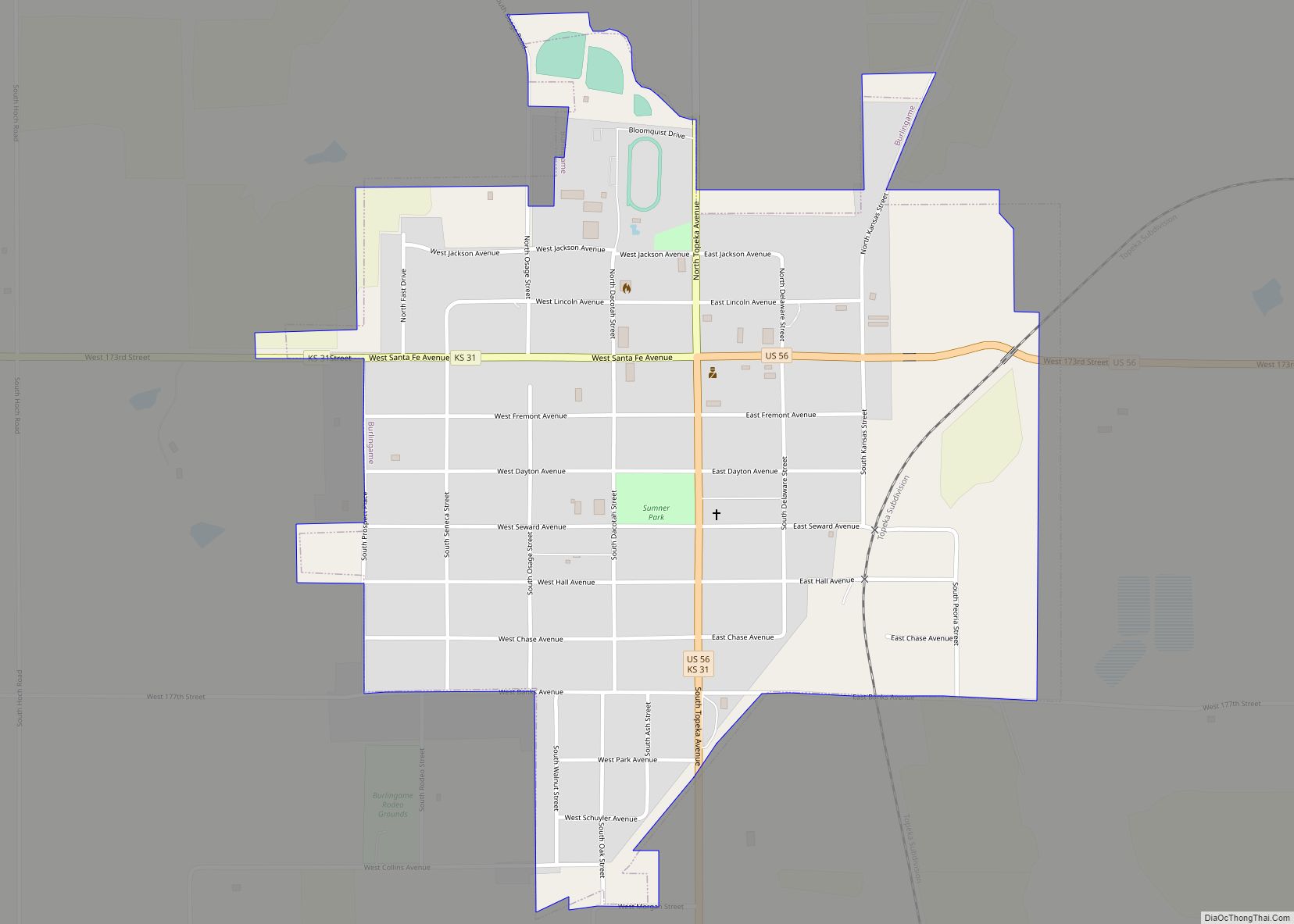
Burlingame is a city in Osage County, Kansas, United States. As of the 2020 census, the population of the city was 971. Burlingame city overview: Name: Burlingame city LSAD Code: 25 LSAD Description: city (suffix) State: Kansas County: Osage County Incorporated: 1861 Elevation: 1,073 ft (327 m) Total Area: 0.88 sq mi (2.29 km²) Land Area: 0.88 sq mi (2.29 km²) Water Area: ... Read more
