Bunker Hill is a city in Russell County, Kansas, United States. As of the 2020 census, the population of the city was 103.
| Name: | Bunker Hill city |
|---|---|
| LSAD Code: | 25 |
| LSAD Description: | city (suffix) |
| State: | Kansas |
| County: | Russell County |
| Founded: | 1871 |
| Incorporated: | 1886 |
| Elevation: | 1,860 ft (570 m) |
| Total Area: | 1.39 sq mi (3.59 km²) |
| Land Area: | 1.39 sq mi (3.59 km²) |
| Water Area: | 0.00 sq mi (0.00 km²) |
| Total Population: | 103 |
| Population Density: | 74/sq mi (29/km²) |
| ZIP code: | 67626 |
| Area code: | 785 |
| FIPS code: | 2009225 |
Online Interactive Map
Click on ![]() to view map in "full screen" mode.
to view map in "full screen" mode.
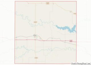
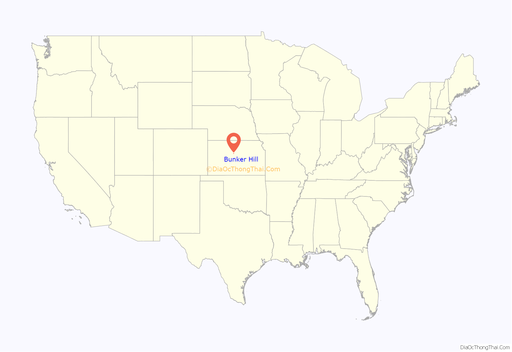
Bunker Hill location map. Where is Bunker Hill city?

History
J. B. Corbett and Valentine Harbaugh, leaders of a colony from Ohio, founded Bunker Hill at a site on the Kansas Pacific Railway in the summer of 1871. The settlement received its name from a Butterfield Overland Despatch station, built in 1865, that had preceded it on the site. County commissioners declared Bunker Hill the county seat in 1872, but, two years later, a popular vote moved the seat to nearby Russell. Many Bunker Hill residents moved with it, stunting the growth and development of the town. By 1883, a small business community emerged, including a hotel, flour mill, and several shops.
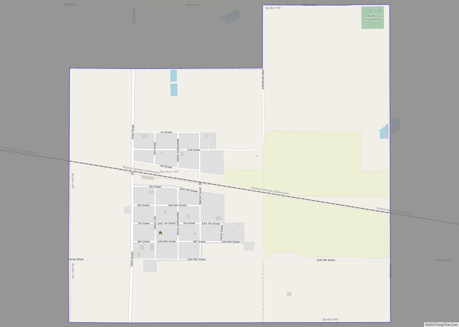
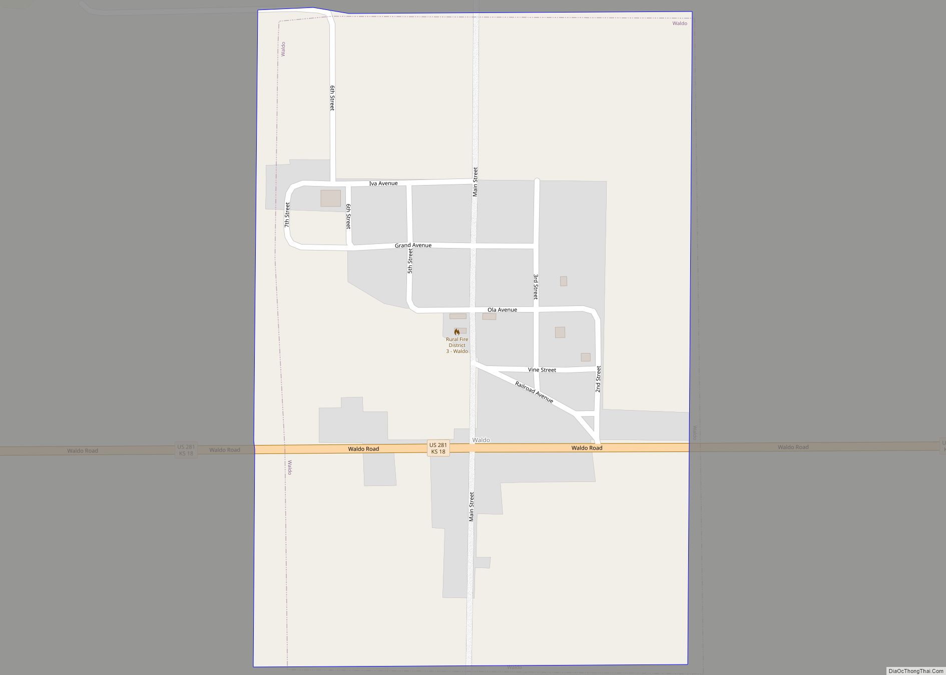
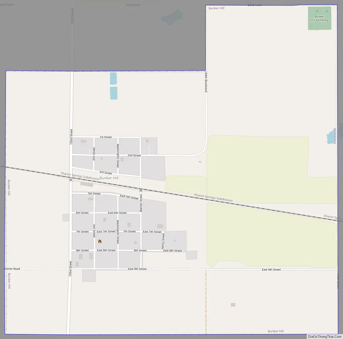
Bunker Hill Road Map
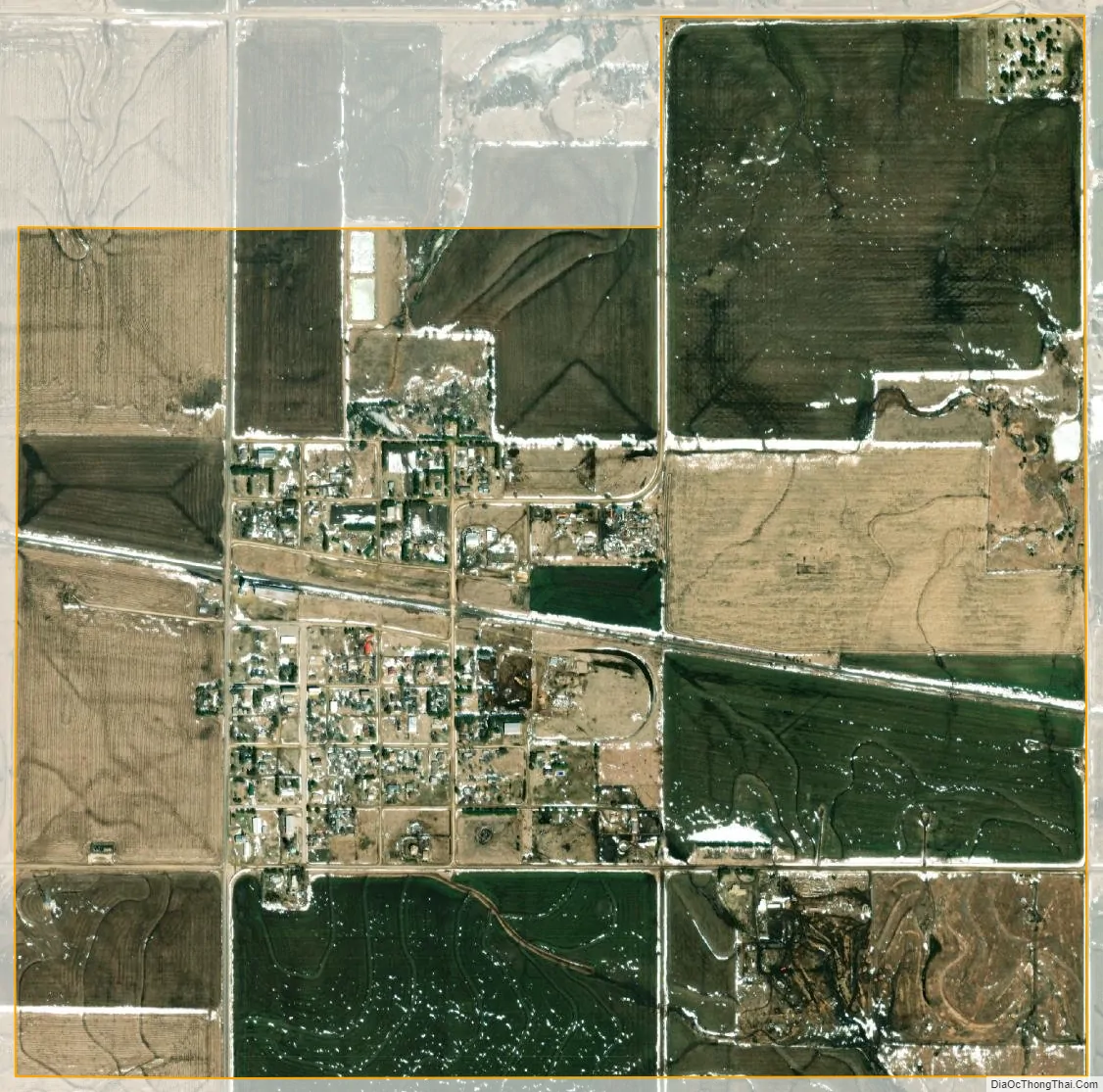
Bunker Hill city Satellite Map
Geography
Bunker Hill is located at 38°52′29″N 98°42′10″W / 38.87472°N 98.70278°W / 38.87472; -98.70278 (38.874716, -98.702759), at an elevation of 1,860 feet (570 m). Located in north-central Kansas, Bunker Hill is 108 miles (174 km) northwest of Wichita and 221 miles (356 km) west of Kansas City. Located 1 mile (1.6 km) north of Interstate 70, it is roughly 8 miles (13 km) east of Russell, the county seat.
The community lies in the Smoky Hills region of the Great Plains approximately 5 miles (8.0 km) north of the Smoky Hill River and 7 miles (11 km) south of the Saline River. Wilson Lake lies 6 miles (9.7 km) to the northeast.
According to the United States Census Bureau, the city has a total area of 1.38 square miles (3.57 km), all of it land.
Climate
The climate in this area is characterized by hot, humid summers and generally mild to cool winters. According to the Köppen Climate Classification system, Bunker Hill has a humid subtropical climate, abbreviated “Cfa” on climate maps.
See also
Map of Kansas State and its subdivision:- Allen
- Anderson
- Atchison
- Barber
- Barton
- Bourbon
- Brown
- Butler
- Chase
- Chautauqua
- Cherokee
- Cheyenne
- Clark
- Clay
- Cloud
- Coffey
- Comanche
- Cowley
- Crawford
- Decatur
- Dickinson
- Doniphan
- Douglas
- Edwards
- Elk
- Ellis
- Ellsworth
- Finney
- Ford
- Franklin
- Geary
- Gove
- Graham
- Grant
- Gray
- Greeley
- Greenwood
- Hamilton
- Harper
- Harvey
- Haskell
- Hodgeman
- Jackson
- Jefferson
- Jewell
- Johnson
- Kearny
- Kingman
- Kiowa
- Labette
- Lane
- Leavenworth
- Lincoln
- Linn
- Logan
- Lyon
- Marion
- Marshall
- McPherson
- Meade
- Miami
- Mitchell
- Montgomery
- Morris
- Morton
- Nemaha
- Neosho
- Ness
- Norton
- Osage
- Osborne
- Ottawa
- Pawnee
- Phillips
- Pottawatomie
- Pratt
- Rawlins
- Reno
- Republic
- Rice
- Riley
- Rooks
- Rush
- Russell
- Saline
- Scott
- Sedgwick
- Seward
- Shawnee
- Sheridan
- Sherman
- Smith
- Stafford
- Stanton
- Stevens
- Sumner
- Thomas
- Trego
- Wabaunsee
- Wallace
- Washington
- Wichita
- Wilson
- Woodson
- Wyandotte
- Alabama
- Alaska
- Arizona
- Arkansas
- California
- Colorado
- Connecticut
- Delaware
- District of Columbia
- Florida
- Georgia
- Hawaii
- Idaho
- Illinois
- Indiana
- Iowa
- Kansas
- Kentucky
- Louisiana
- Maine
- Maryland
- Massachusetts
- Michigan
- Minnesota
- Mississippi
- Missouri
- Montana
- Nebraska
- Nevada
- New Hampshire
- New Jersey
- New Mexico
- New York
- North Carolina
- North Dakota
- Ohio
- Oklahoma
- Oregon
- Pennsylvania
- Rhode Island
- South Carolina
- South Dakota
- Tennessee
- Texas
- Utah
- Vermont
- Virginia
- Washington
- West Virginia
- Wisconsin
- Wyoming