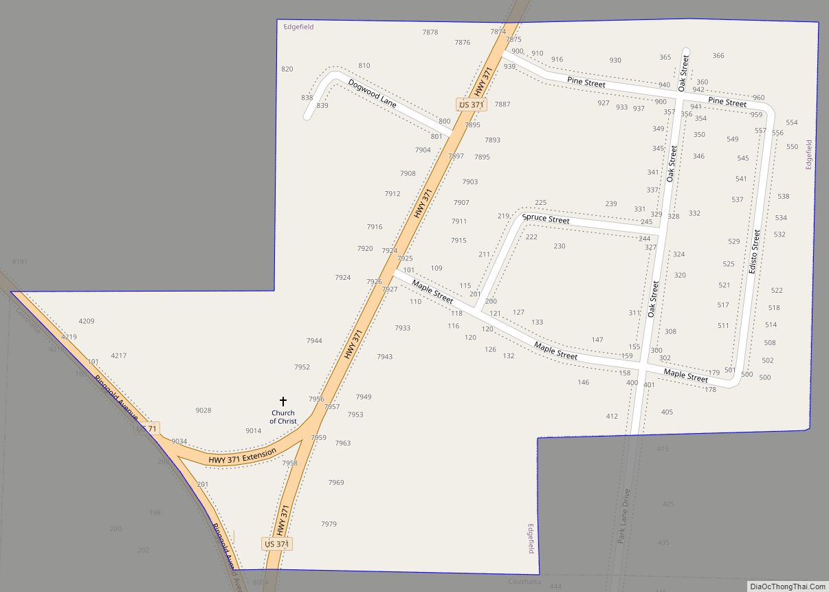
Edgefield is a village in Red River Parish, Louisiana, United States. The population was 190 at the 2000 census. Edgefield village overview: Name: Edgefield village LSAD Code: 47 LSAD Description: village (suffix) State: Louisiana County: Red River Parish Total Area: 0.25 sq mi (0.64 km²) Land Area: 0.25 sq mi (0.64 km²) Water Area: 0.00 sq mi (0.00 km²) Total Population: 204 Population Density: ... Read more
Louisiana Cities and Places
Empire is a census-designated place (CDP) in Plaquemines Parish, Louisiana, United States. The population was 905 at the 2020 census. Empire CDP overview: Name: Empire CDP LSAD Code: 57 LSAD Description: CDP (suffix) State: Louisiana County: Plaquemines Parish Elevation: 3 ft (0.9 m) Total Area: 7.62 sq mi (19.72 km²) Land Area: 5.22 sq mi (13.51 km²) Water Area: 2.40 sq mi (6.21 km²) Total Population: ... Read more
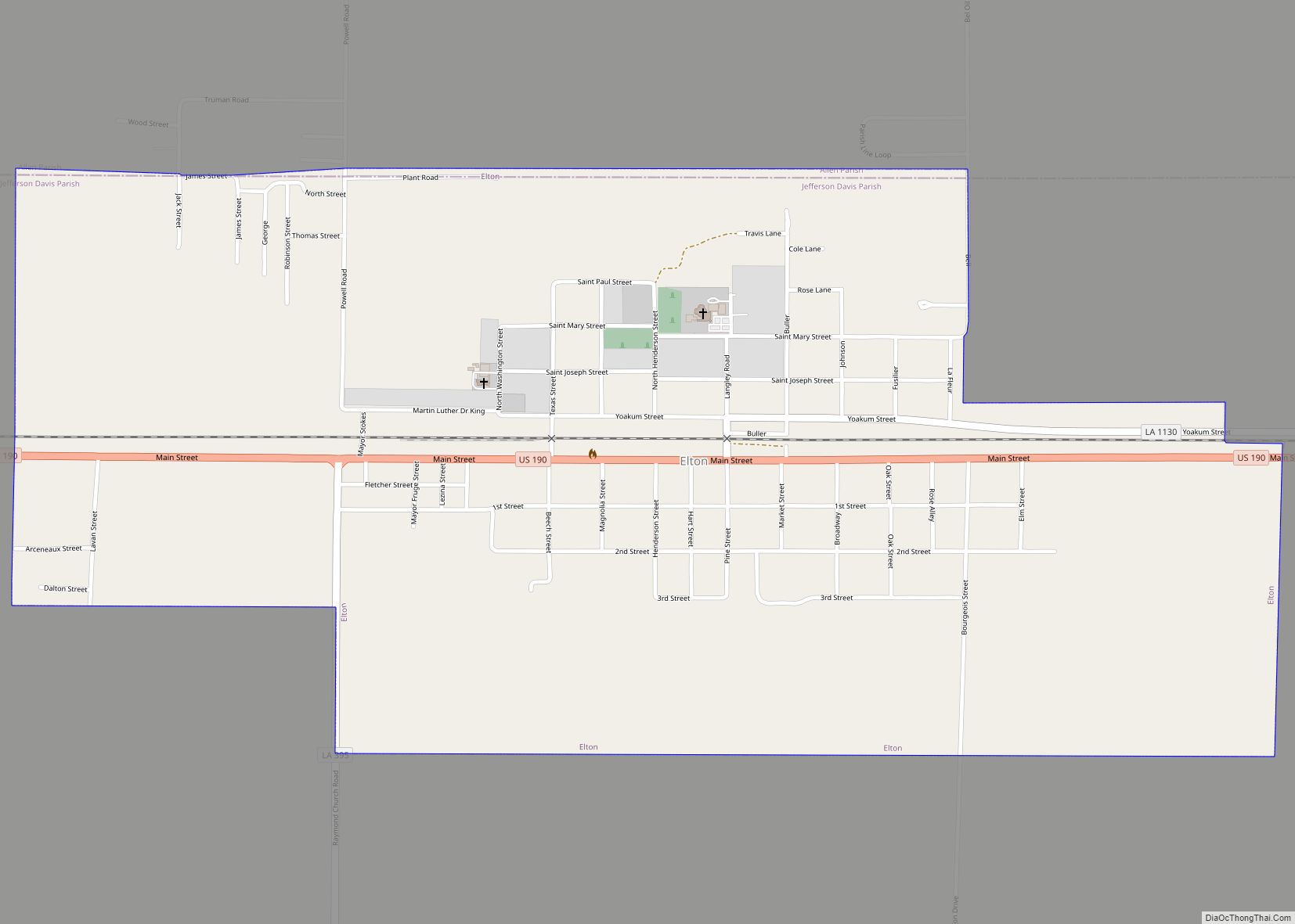
Elton is a town in Jefferson Davis Parish, Louisiana, United States. The population was 992 at the 2020 census, down from 1,128 at the 2010 census. It is part of the Jennings Micropolitan Statistical Area. Elton town overview: Name: Elton town LSAD Code: 43 LSAD Description: town (suffix) State: Louisiana County: Jefferson Davis Parish Elevation: ... Read more
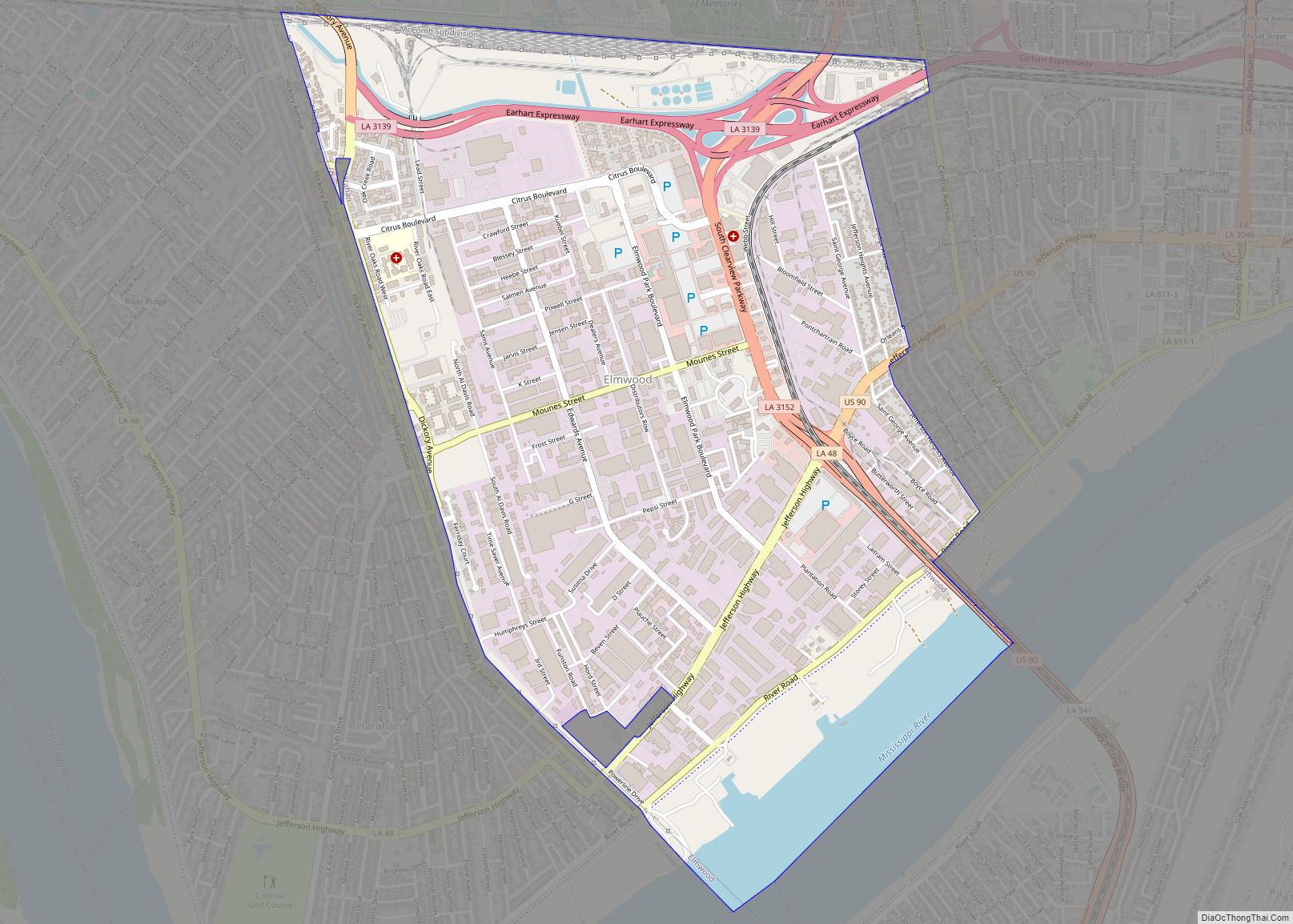
Elmwood is a census-designated place (CDP) in Jefferson Parish, Louisiana, United States, within the New Orleans–Metairie–Kenner metropolitan statistical area. The population was 4,635 at the 2010 census, and 5,649 in 2020. Elmwood was part of neighboring Jefferson’s census area from 1960 to 1990. The ZIP Code serving Elmwood is 70123. Elmwood CDP overview: Name: Elmwood ... Read more
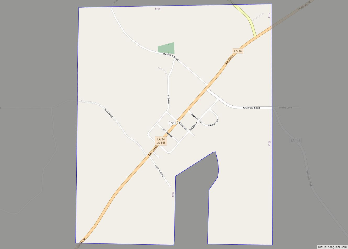
Eros is a town in Jackson Parish, Louisiana, United States. The population was 155 at the 2010 census. It is part of the Ruston Micropolitan Statistical Area. Eros town overview: Name: Eros town LSAD Code: 43 LSAD Description: town (suffix) State: Louisiana County: Jackson Parish Elevation: 207 ft (63 m) Total Area: 1.00 sq mi (2.58 km²) Land Area: 1.00 sq mi ... Read more
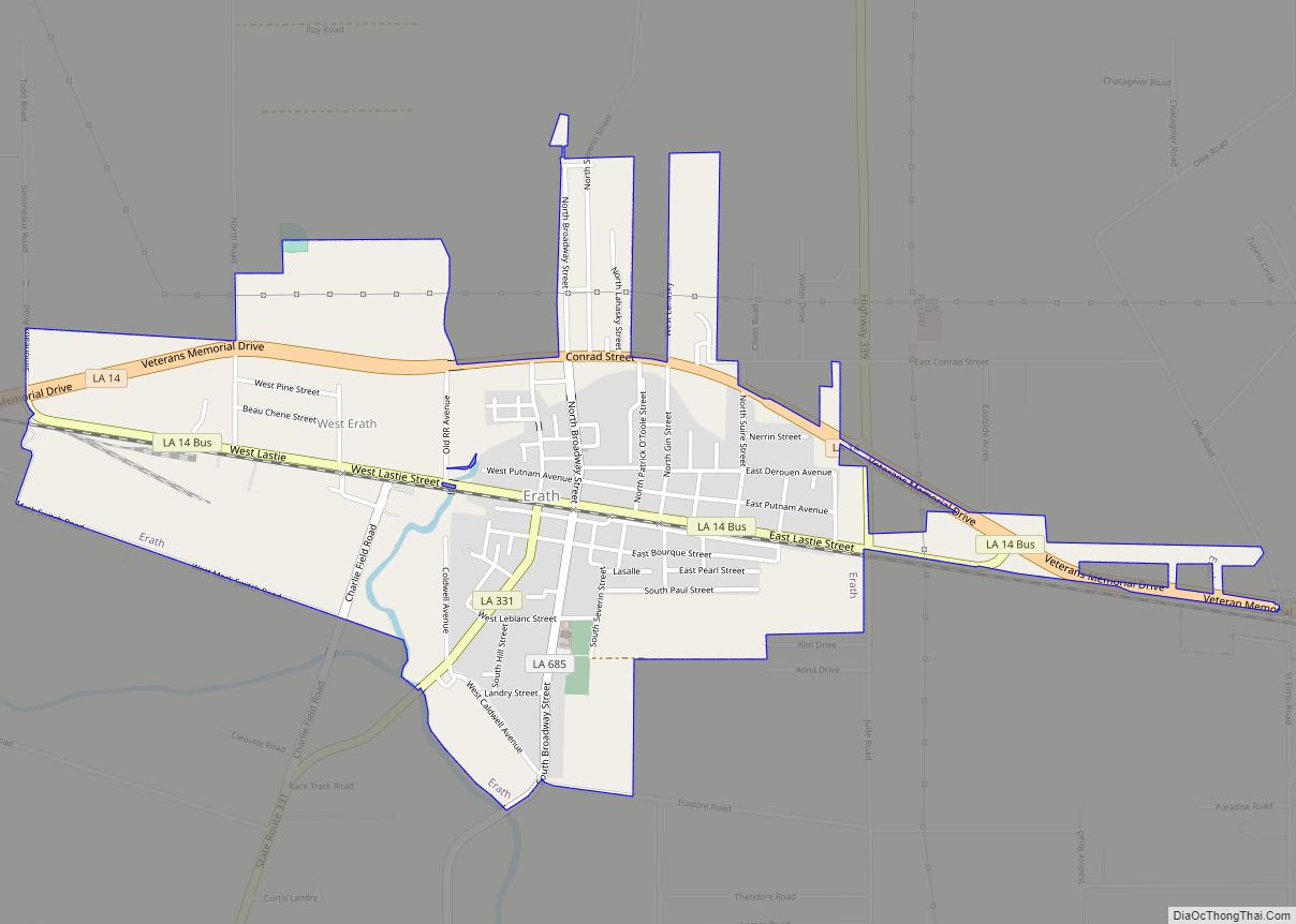
Erath is a town in Vermilion Parish, Louisiana, United States. The population was 2,114 at the 2010 census, and 2,030 at the 2020 population estimates program. It is part of the Abbeville micropolitan statistical area and the Lafayette metropolitan area. Erath town overview: Name: Erath town LSAD Code: 43 LSAD Description: town (suffix) State: Louisiana ... Read more
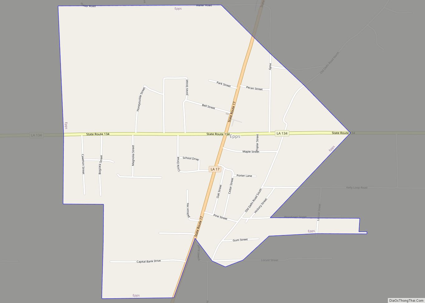
Epps is a village in West Carroll Parish, Louisiana, United States. The population was 854 at the 2010 census. The Poverty Point National Monument, the most complex earthworks site built by a late Archaic culture, is located to the east of Epps. Epps village overview: Name: Epps village LSAD Code: 47 LSAD Description: village (suffix) ... Read more
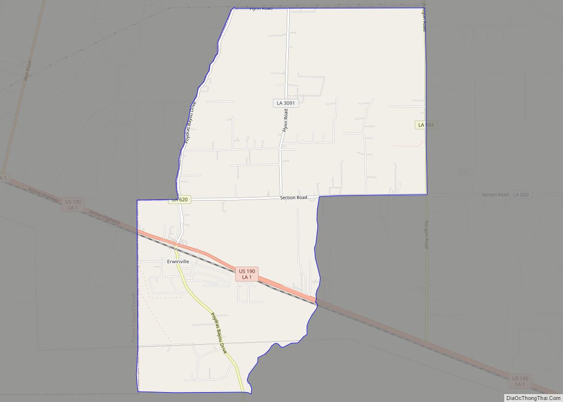
Erwinville is an unincorporated community and census-designated place in West Baton Rouge Parish, Louisiana, United States. Its population was 2,192 as of the 2010 census. U.S. Route 190 passes through the community. Erwinville CDP overview: Name: Erwinville CDP LSAD Code: 57 LSAD Description: CDP (suffix) State: Louisiana County: West Baton Rouge Parish Elevation: 23 ft (7 m) ... Read more
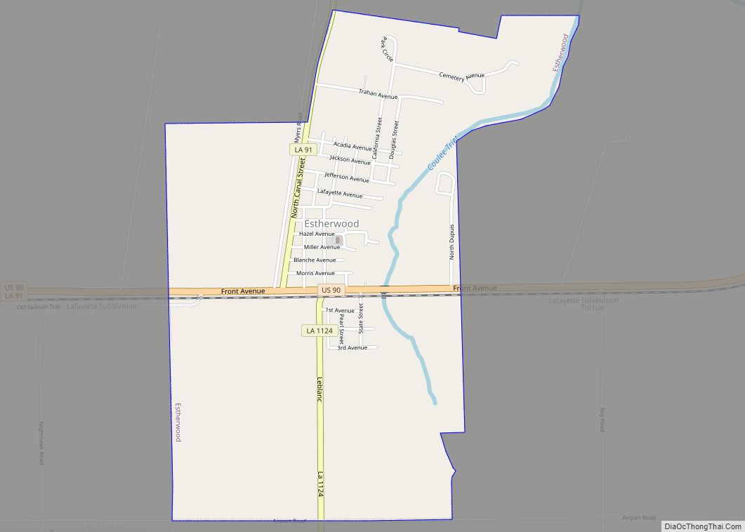
Estherwood is a village in Acadia Parish, Louisiana, United States. The population was 889 at the 2010 census. It is part of the Crowley Micropolitan Statistical Area. Estherwood village overview: Name: Estherwood village LSAD Code: 47 LSAD Description: village (suffix) State: Louisiana County: Acadia Parish Elevation: 16 ft (5 m) Total Area: 1.86 sq mi (4.83 km²) Land Area: 1.86 sq mi ... Read more
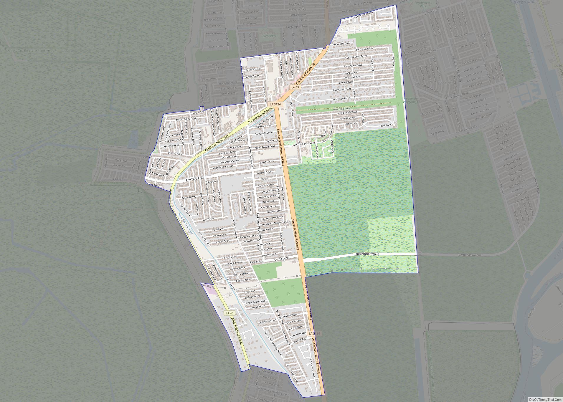
Estelle is a census-designated place (CDP) in Jefferson Parish, Louisiana, United States. The population was 17,952 in 2020. It is part of the New Orleans–Metairie–Kenner metropolitan statistical area. Estelle is located south of Marrero; the urbanized areas of the communities meet, and some businesses in Estelle list their addresses as “Marrero”. The Jean Lafitte National ... Read more
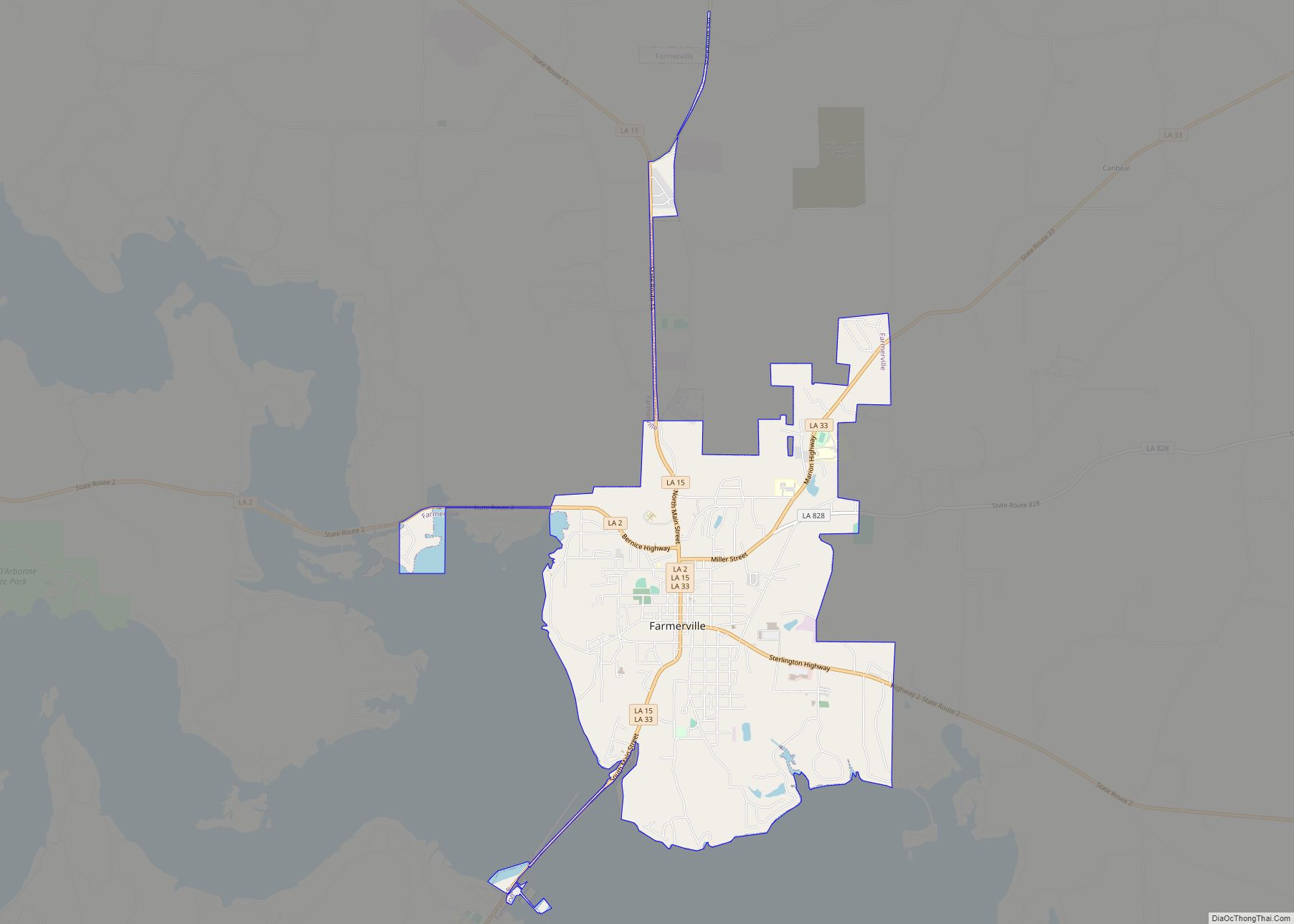
Farmerville is a town in and the parish seat of Union Parish, Louisiana, United States. It has also been known as Farmersville. The population was 3,860 at the 2010 census. It is part of the Monroe Metropolitan Statistical Area. The town is spread about Lake D’Arbonne, a popular fishing and boating waterway. Farmerville town overview: ... Read more
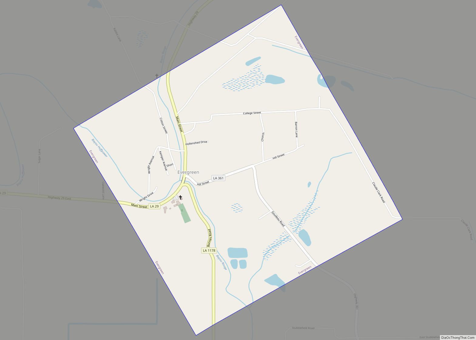
Evergreen is a town in Avoyelles Parish, Louisiana, United States. The population was 310 at the 2010 census. Evergreen is located east of Bunkie. Evergreen town overview: Name: Evergreen town LSAD Code: 43 LSAD Description: town (suffix) State: Louisiana County: Avoyelles Parish Elevation: 62 ft (19 m) Total Area: 1.02 sq mi (2.65 km²) Land Area: 1.02 sq mi (2.65 km²) Water Area: ... Read more
