Erath is a town in Vermilion Parish, Louisiana, United States. The population was 2,114 at the 2010 census, and 2,030 at the 2020 population estimates program. It is part of the Abbeville micropolitan statistical area and the Lafayette metropolitan area.
| Name: | Erath town |
|---|---|
| LSAD Code: | 43 |
| LSAD Description: | town (suffix) |
| State: | Louisiana |
| County: | Vermilion Parish |
| Elevation: | 7 ft (2 m) |
| Total Area: | 1.76 sq mi (4.55 km²) |
| Land Area: | 1.76 sq mi (4.55 km²) |
| Water Area: | 0.00 sq mi (0.00 km²) |
| Total Population: | 2,028 |
| Population Density: | 1,154.24/sq mi (445.72/km²) |
| Area code: | 337 |
| FIPS code: | 2224180 |
| Website: | townoferath.com |
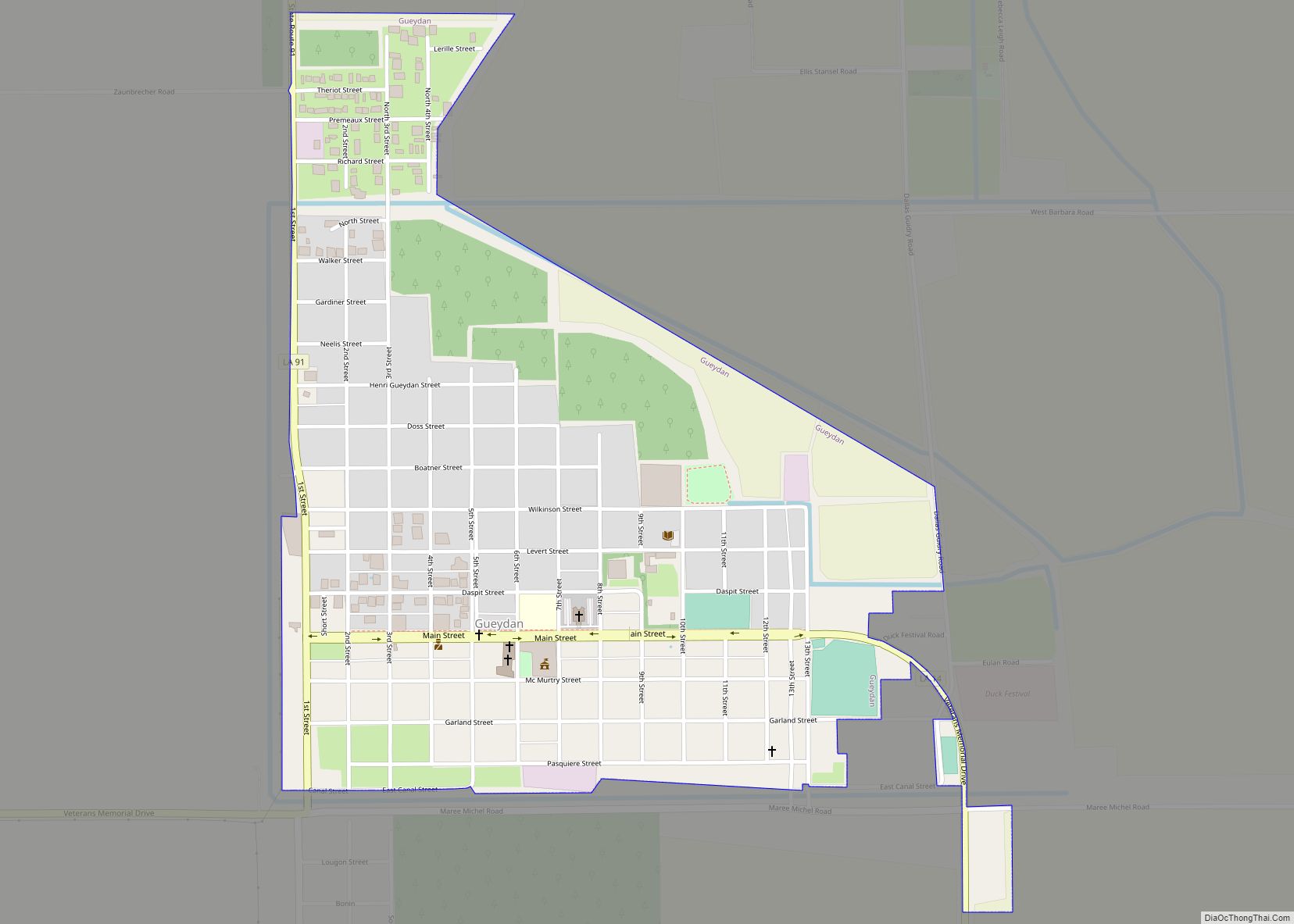
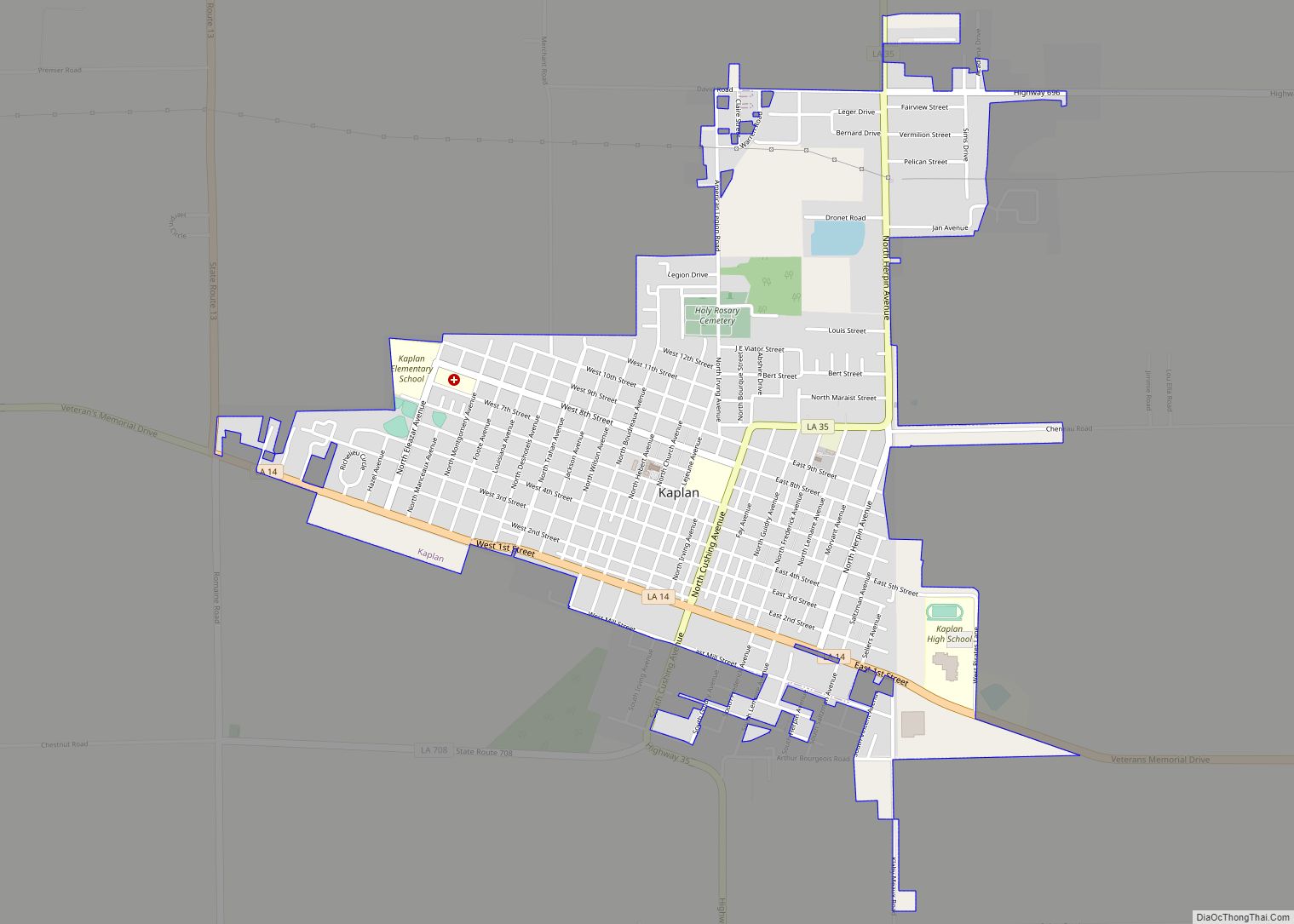
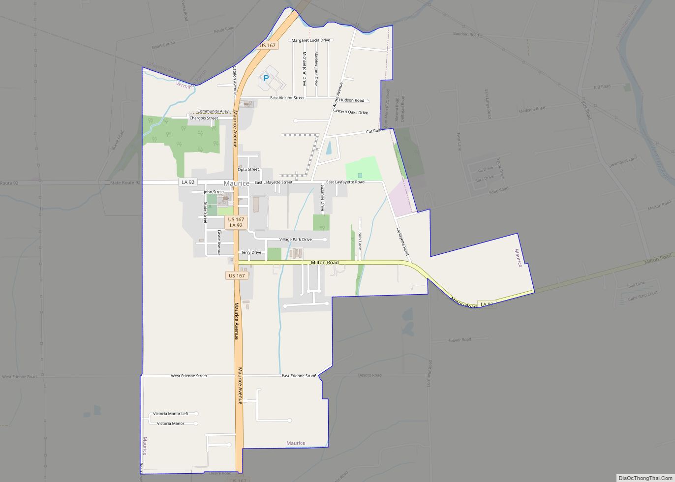
Online Interactive Map
Click on ![]() to view map in "full screen" mode.
to view map in "full screen" mode.
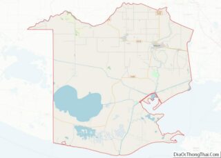
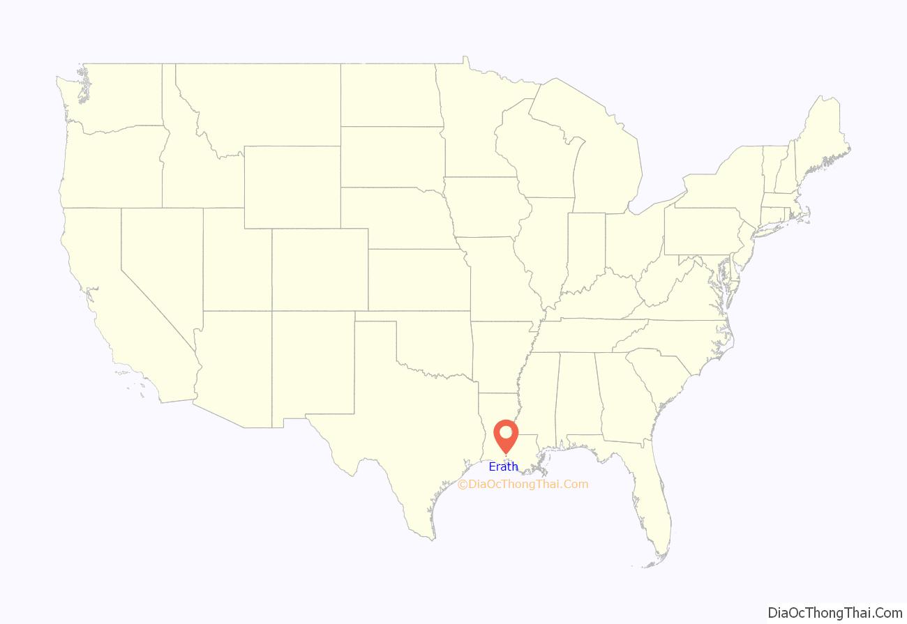
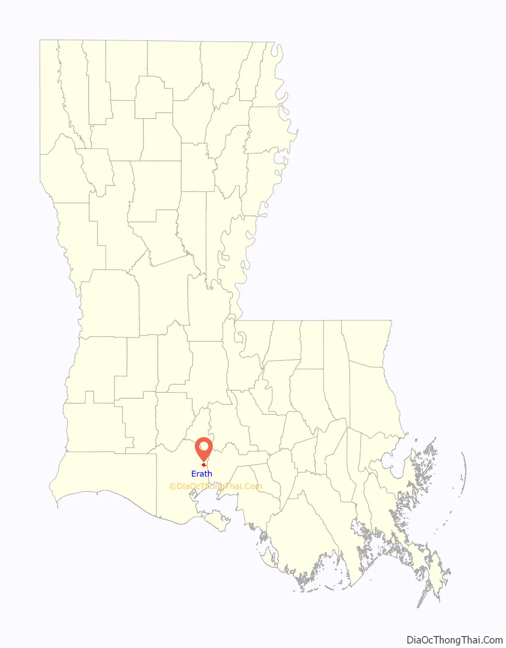
Erath location map. Where is Erath town?
History
Erath is named after August Erath (18 March 1843 – 11 September 1900) who emigrated from Switzerland to New Orleans in 1860 and was a bookkeeper in the breweries. He moved to New Iberia in 1876 and erected a brewery there. Erath was later mayor of New Iberia and began to develop land in the Erath area. Although August Erath never lived in Erath, he was close to railroad officials, which brought forth a great business venture for him. Later, Erath built a seltzer water factory in New Iberia and an ice plant in Abbeville. In 1884, he started a hardware business and purchased land located in this area.
In 2005, storm surge forced inland by Hurricane Rita flooded most of the town. Water in most parts of town was up to six feet deep.
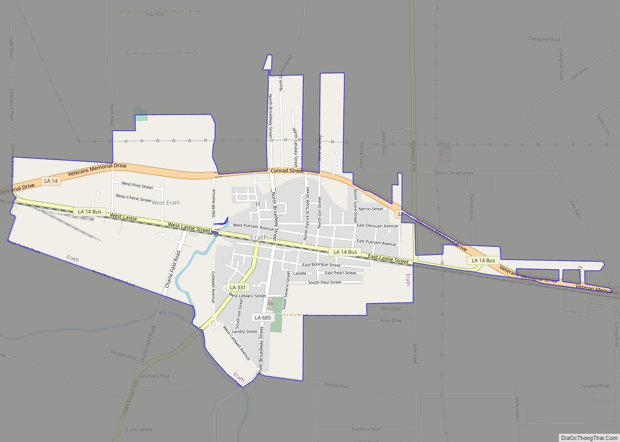
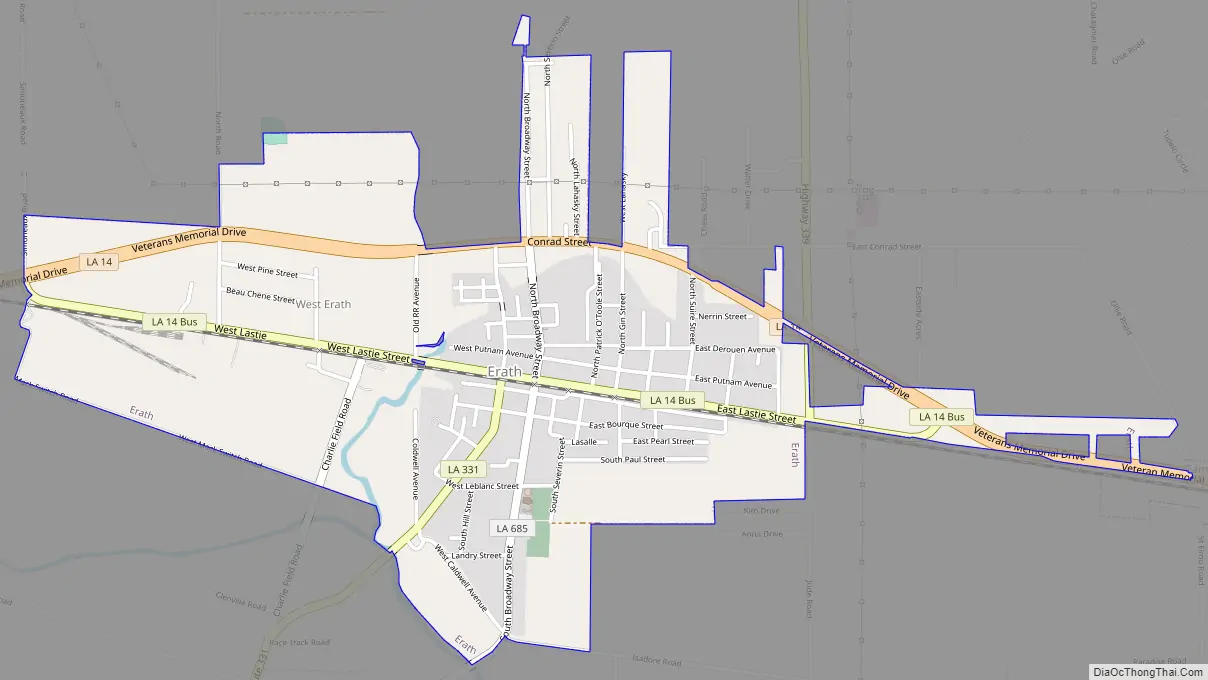
Erath Road Map
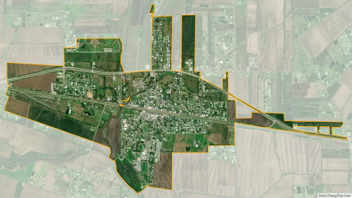
Erath city Satellite Map
Geography
Erath is located at 29°57′36″N 92°2′7″W / 29.96000°N 92.03528°W / 29.96000; -92.03528 (29.959939, -92.035220). According to the United States Census Bureau, the town has a total area of 1.5 square miles (3.9 km), all land.
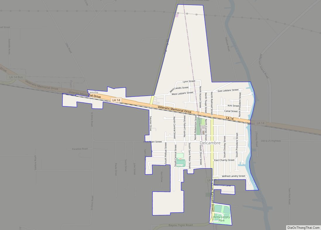
Erath is located 20 miles (32 km) south of Lafayette, parish seat of Lafayette Parish via Louisiana Highway 339, 7 miles (11 km) east of Abbeville, parish seat of Vermilion Parish, and 15 miles (24 km) west of New Iberia, parish seat of Iberia Parish via Louisiana Highway 14. The eastern edge of Erath borders with the town of Delcambre on LA-14.
See also
Map of Louisiana State and its subdivision:- Acadia
- Allen
- Ascension
- Assumption
- Avoyelles
- Beauregard
- Bienville
- Bossier
- Caddo
- Calcasieu
- Caldwell
- Cameron
- Catahoula
- Claiborne
- Concordia
- De Soto
- East Baton Rouge
- East Carroll
- East Feliciana
- Evangeline
- Franklin
- Grant
- Iberia
- Iberville
- Jackson
- Jefferson
- Jefferson Davis
- La Salle
- Lafayette
- Lafourche
- Lincoln
- Livingston
- Madison
- Morehouse
- Natchitoches
- Orleans
- Ouachita
- Plaquemines
- Pointe Coupee
- Rapides
- Red River
- Richland
- Sabine
- Saint Bernard
- Saint Charles
- Saint Helena
- Saint James
- Saint John the Baptist
- Saint Landry
- Saint Martin
- Saint Mary
- Saint Tammany
- Tangipahoa
- Tensas
- Terrebonne
- Union
- Vermilion
- Vernon
- Washington
- Webster
- West Baton Rouge
- West Carroll
- West Feliciana
- Winn
- Alabama
- Alaska
- Arizona
- Arkansas
- California
- Colorado
- Connecticut
- Delaware
- District of Columbia
- Florida
- Georgia
- Hawaii
- Idaho
- Illinois
- Indiana
- Iowa
- Kansas
- Kentucky
- Louisiana
- Maine
- Maryland
- Massachusetts
- Michigan
- Minnesota
- Mississippi
- Missouri
- Montana
- Nebraska
- Nevada
- New Hampshire
- New Jersey
- New Mexico
- New York
- North Carolina
- North Dakota
- Ohio
- Oklahoma
- Oregon
- Pennsylvania
- Rhode Island
- South Carolina
- South Dakota
- Tennessee
- Texas
- Utah
- Vermont
- Virginia
- Washington
- West Virginia
- Wisconsin
- Wyoming