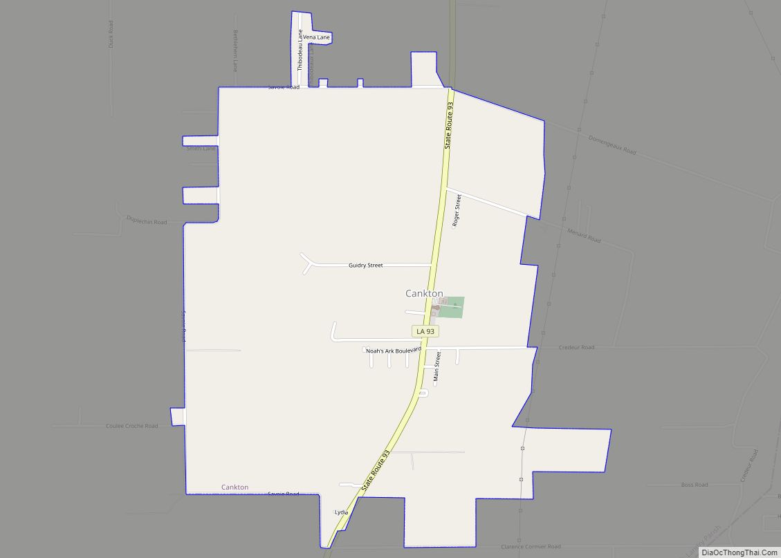
Cankton is a village in St. Landry Parish, Louisiana, United States. The population was 484 at the 2010 census. It is part of the Opelousas–Eunice Micropolitan Statistical Area. Cankton village overview: Name: Cankton village LSAD Code: 47 LSAD Description: village (suffix) State: Louisiana County: St. Landry Parish Elevation: 46 ft (14 m) Total Area: 2.04 sq mi (5.28 km²) Land ... Read more
Louisiana Cities and Places
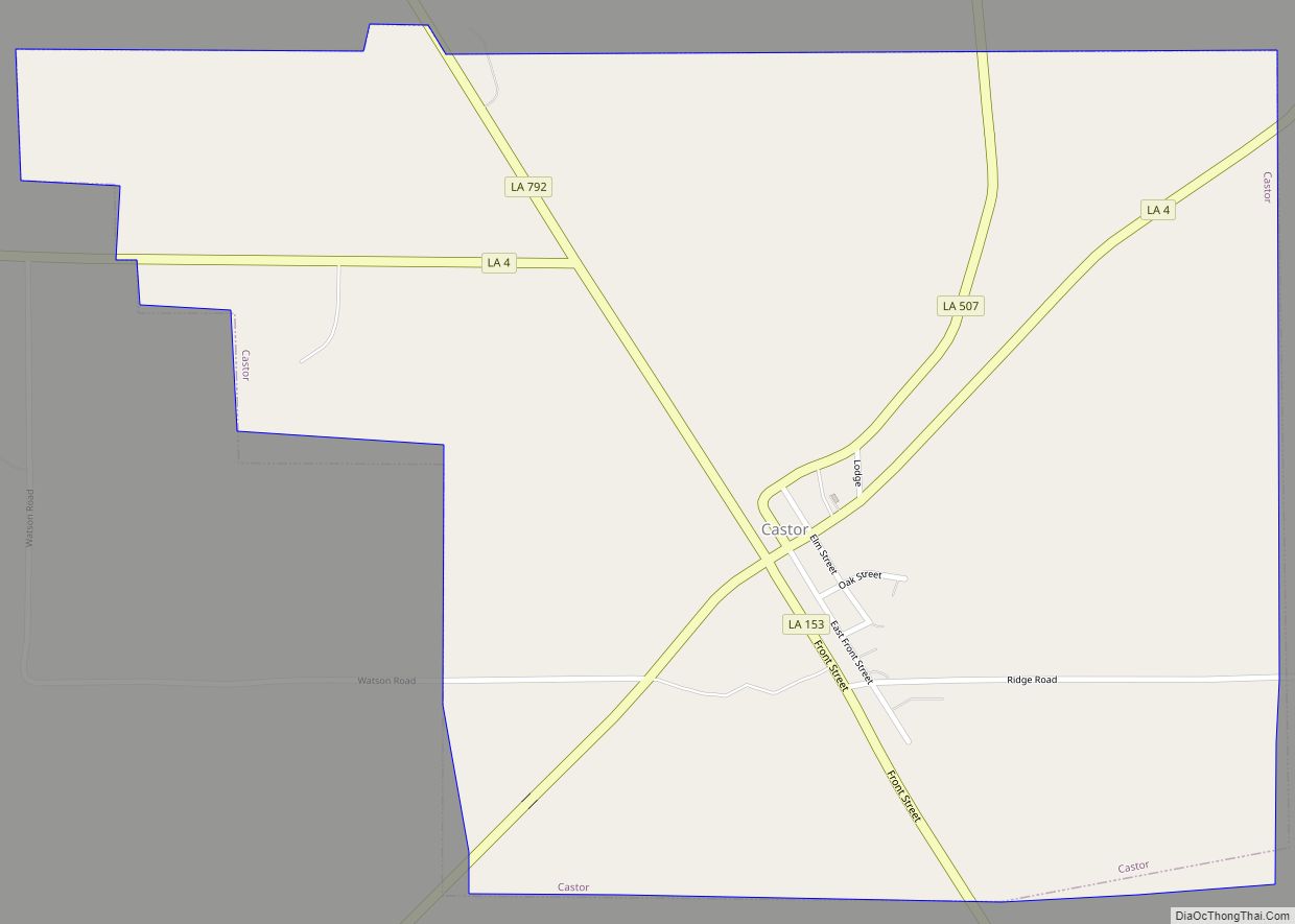
Castor is a village in Bienville Parish in north Louisiana, United States. The population was 209 at the 2000 census but increased 23% to 258 in 2010. The median age was 32.2 years. The village was established in 1900. The name “Castor” refers to the genus Castoridae or beaver, a Latin term, contrary to an ... Read more
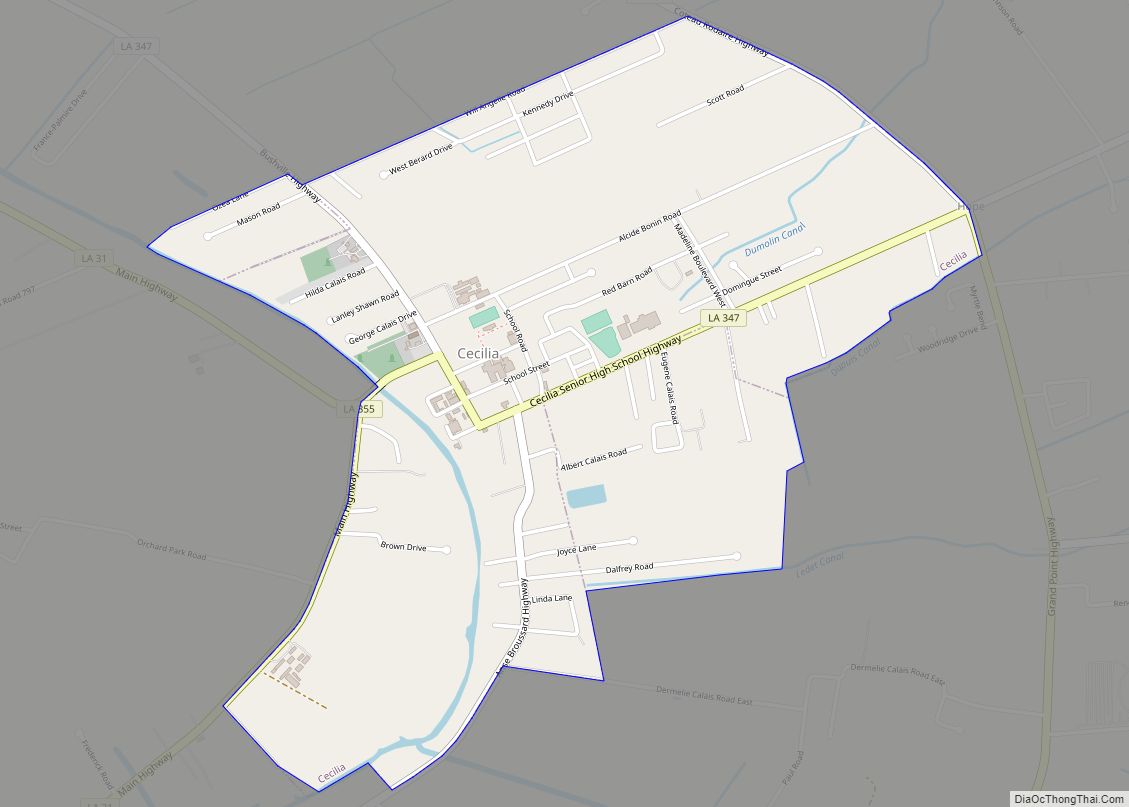
Cecilia is a census-designated place (CDP) in St. Martin Parish, in the U.S. state of Louisiana. The community lies within the region of Acadiana, and the Lafayette metropolitan statistical area. It had a population of 1,505 at the 2000 U.S. census, estimated to have grown to 1,917 in 2019 at the American Community Survey’s 5-year ... Read more
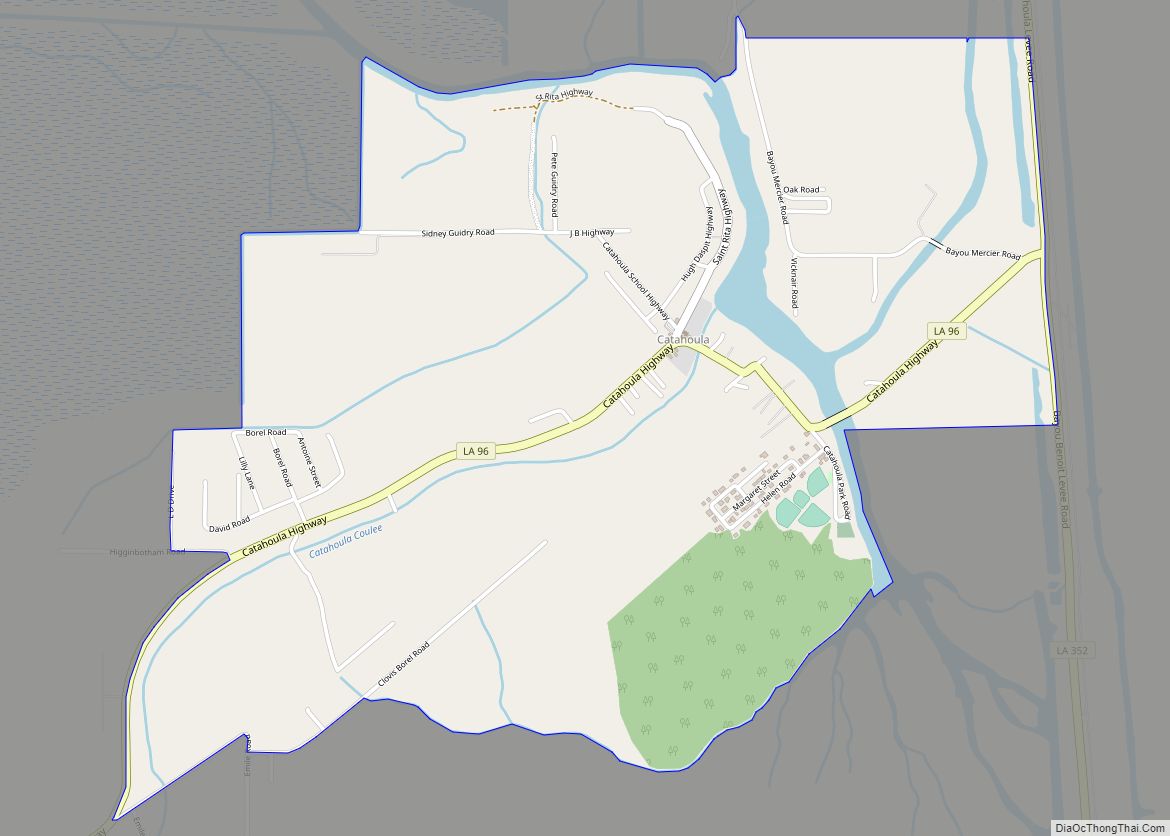
Catahoula is a census-designated place in St. Martin Parish, Louisiana, United States. It is located outside the western boundary of the Atchafalaya River Basin, south of the town of Henderson. In 2019, its population was estimated at 1,054. Catahoula CDP overview: Name: Catahoula CDP LSAD Code: 57 LSAD Description: CDP (suffix) State: Louisiana County: St. ... Read more
Chackbay is a census-designated place (CDP) in northern Lafourche Parish, Louisiana, United States. The population was 5,370 in 2020. It is part of the Houma–Bayou Cane–Thibodaux metropolitan statistical area. Chackbay is a part of the “Ward 6” area of Lafourche Parish. Chackbay CDP overview: Name: Chackbay CDP LSAD Code: 57 LSAD Description: CDP (suffix) State: ... Read more
Central is a city in the U.S. state of Louisiana, second largest city in East Baton Rouge Parish, and part of the Baton Rouge metropolitan statistical area. The state’s newest incorporated city in April 2005, Central had a 2020 census population of 29,565. Central city overview: Name: Central city LSAD Code: 25 LSAD Description: city ... Read more
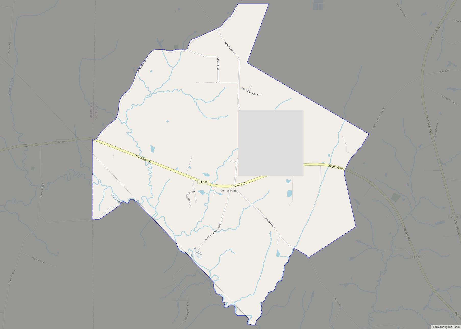
Center Point is an unincorporated community and census-designated place in Avoyelles Parish, Louisiana, United States. As of the 2010 census, it had a population of 492. Center Point is located along Louisiana Highway 107, 13 miles (21 km) northwest of Marksville, the parish seat, and 16 miles (26 km) east of Alexandria. Center Point CDP overview: Name: ... Read more
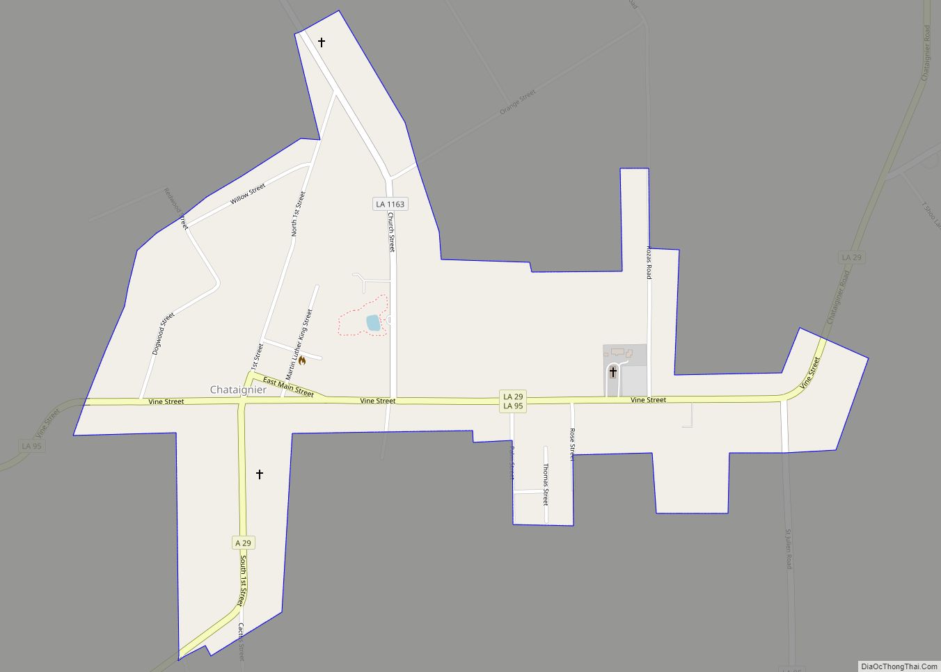
Chataignier is a village in Evangeline Parish, Louisiana, United States. The population was 364 at the 2010 census. Chataignier village overview: Name: Chataignier village LSAD Code: 47 LSAD Description: village (suffix) State: Louisiana County: Evangeline Parish Elevation: 59 ft (18 m) Total Area: 0.63 sq mi (1.63 km²) Land Area: 0.63 sq mi (1.63 km²) Water Area: 0.00 sq mi (0.00 km²) Total Population: 259 Population ... Read more
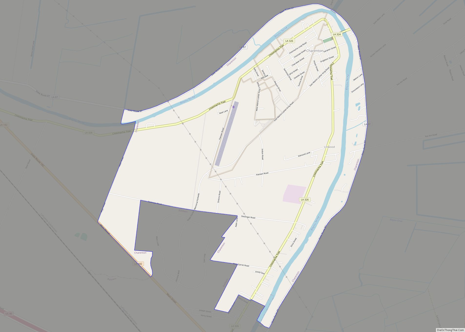
Charenton (historically French: Lieu-des-Chetimachas) is a census-designated place (CDP) in St. Mary Parish, Louisiana, United States. The population was 1,903 at the 2010 census. It is part of the Morgan City Micropolitan Statistical Area. According to legend, the community received its name from one of the earliest settlers of the region, Alexandre Frere. Frere, a ... Read more
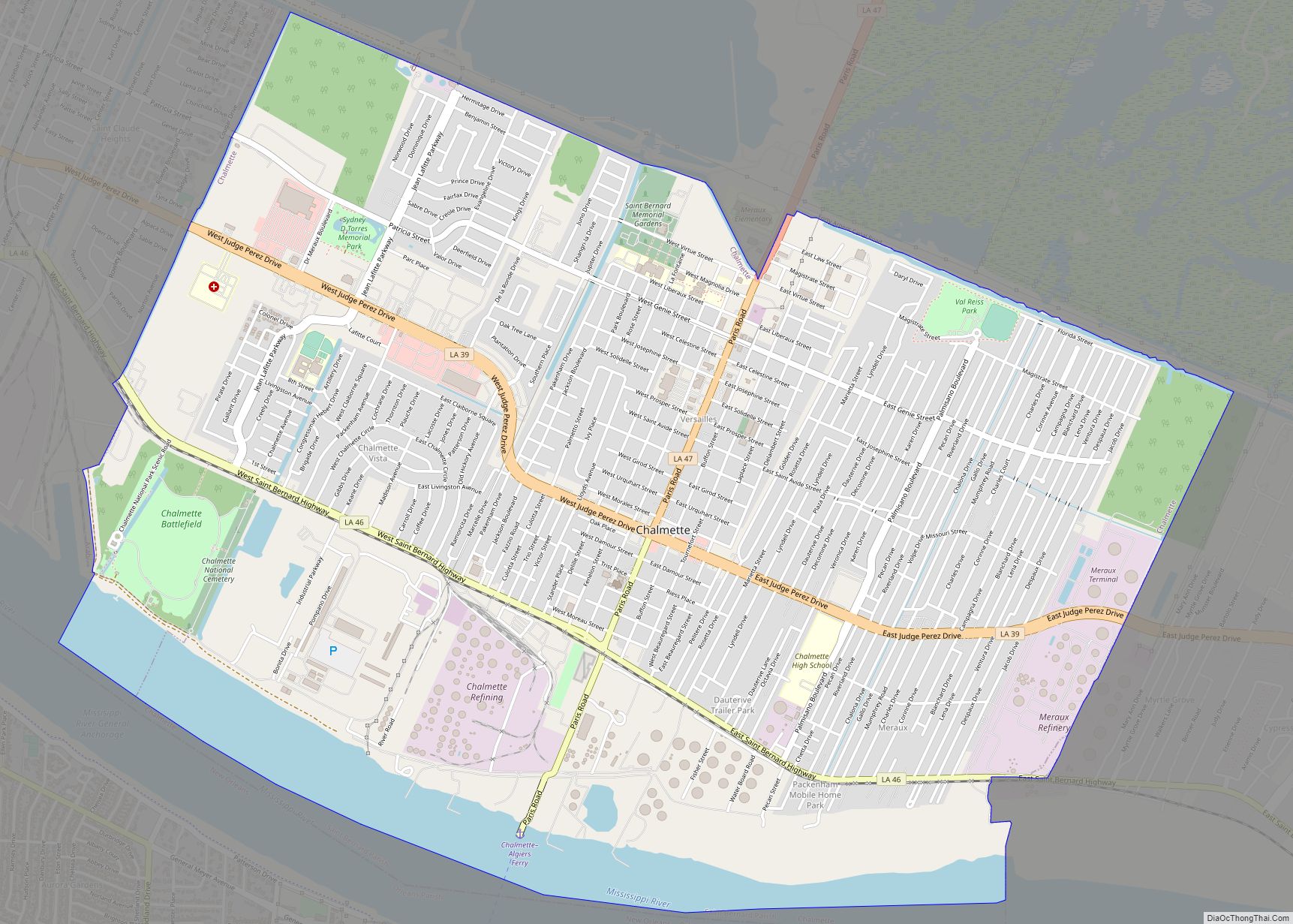
Chalmette (/ʃælˈmɛt/ shal-MET) is a census-designated place (CDP) in, and the parish seat of, St. Bernard Parish in southeastern Louisiana, United States. The 2010 census reported that Chalmette had 16,751 people; 2011 population was listed as 17,119; however, the pre-Katrina population was 32,069 at the 2000 census. At the 2020 U.S. census, its population rebounded ... Read more
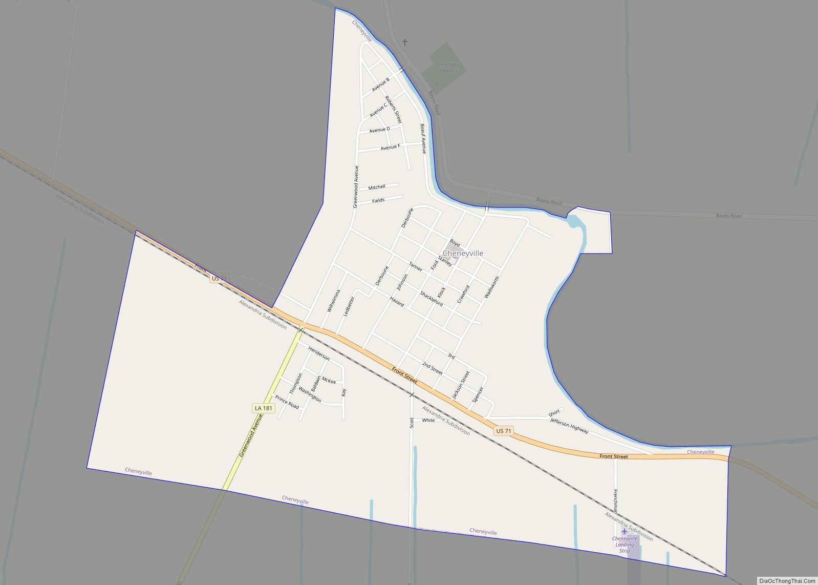
Cheneyville is a town in Rapides Parish, Louisiana, United States. It is part of the Alexandria, Louisiana Metropolitan Statistical Area. The population was 625 at the 2010 census. Cheneyville town overview: Name: Cheneyville town LSAD Code: 43 LSAD Description: town (suffix) State: Louisiana County: Rapides Parish Elevation: 62 ft (19 m) Total Area: 1.02 sq mi (2.63 km²) Land Area: ... Read more
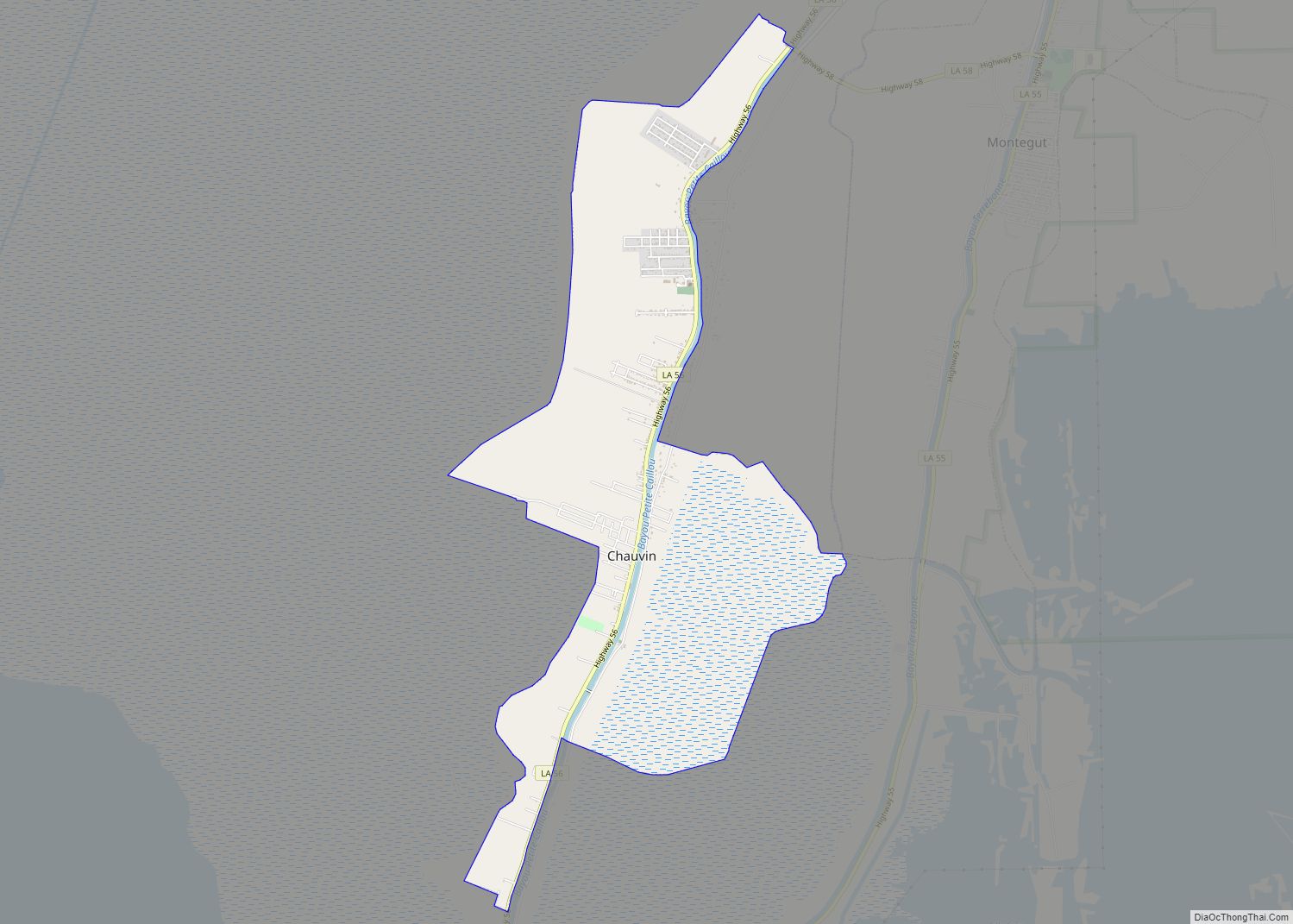
Chauvin is a census-designated place (CDP) in Terrebonne Parish, Louisiana, United States. The population was 2,575 in 2020.. It is part of the Houma–Bayou Cane–Thibodaux metropolitan statistical area. Chauvin CDP overview: Name: Chauvin CDP LSAD Code: 57 LSAD Description: CDP (suffix) State: Louisiana County: Terrebonne Parish Elevation: 3 ft (0.9 m) Total Area: 4.77 sq mi (12.35 km²) Land Area: ... Read more
