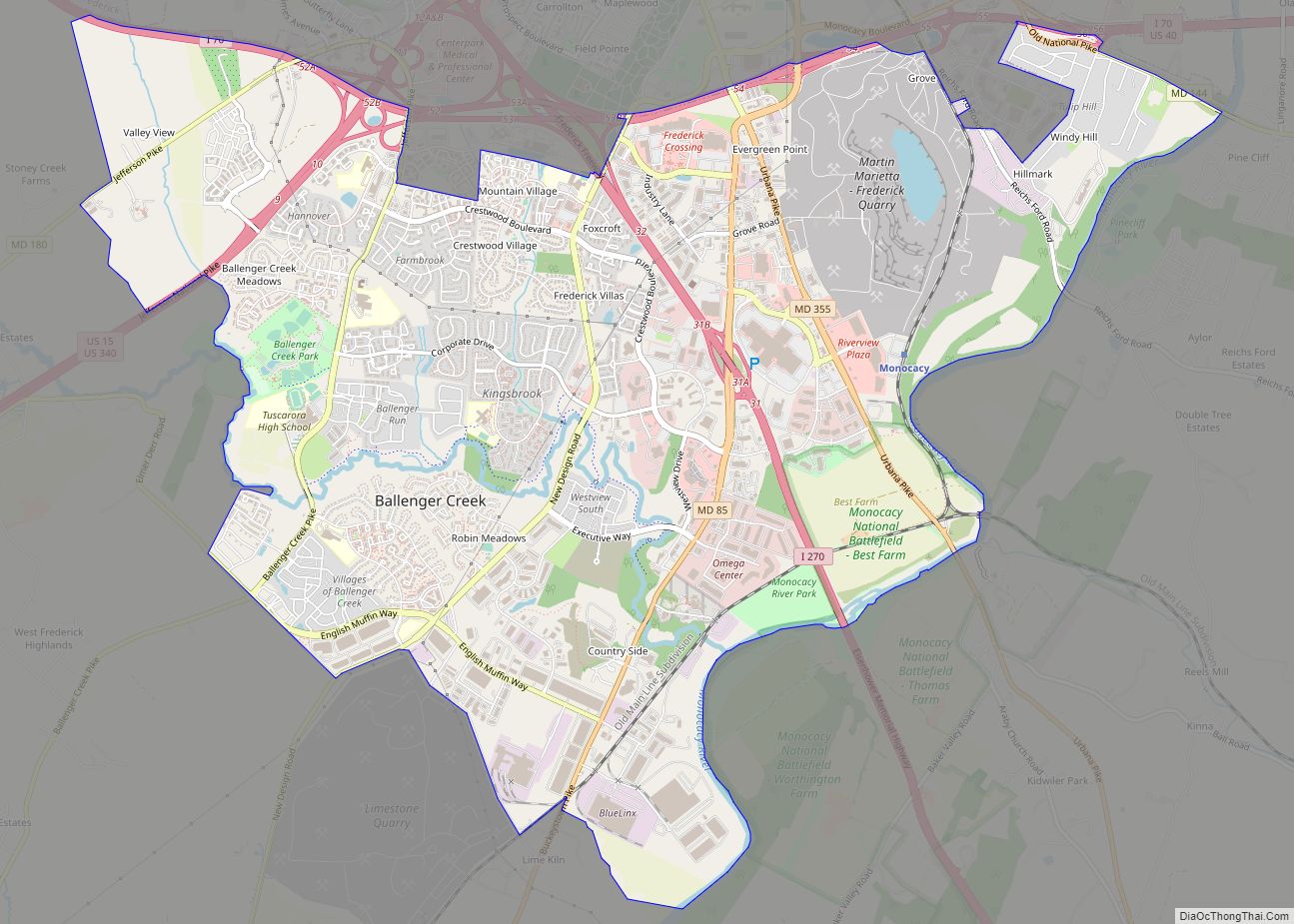
Ballenger Creek is an unincorporated community and census-designated place (CDP) in Frederick County, Maryland, United States. It is a part of the Frederick, Maryland urban area and is adjacent to Frederick’s southern city limits. The CDP had a 2010 census population of 18,274. Ballenger Creek CDP overview: Name: Ballenger Creek CDP LSAD Code: 57 LSAD ... Read more
Maryland Cities and Places
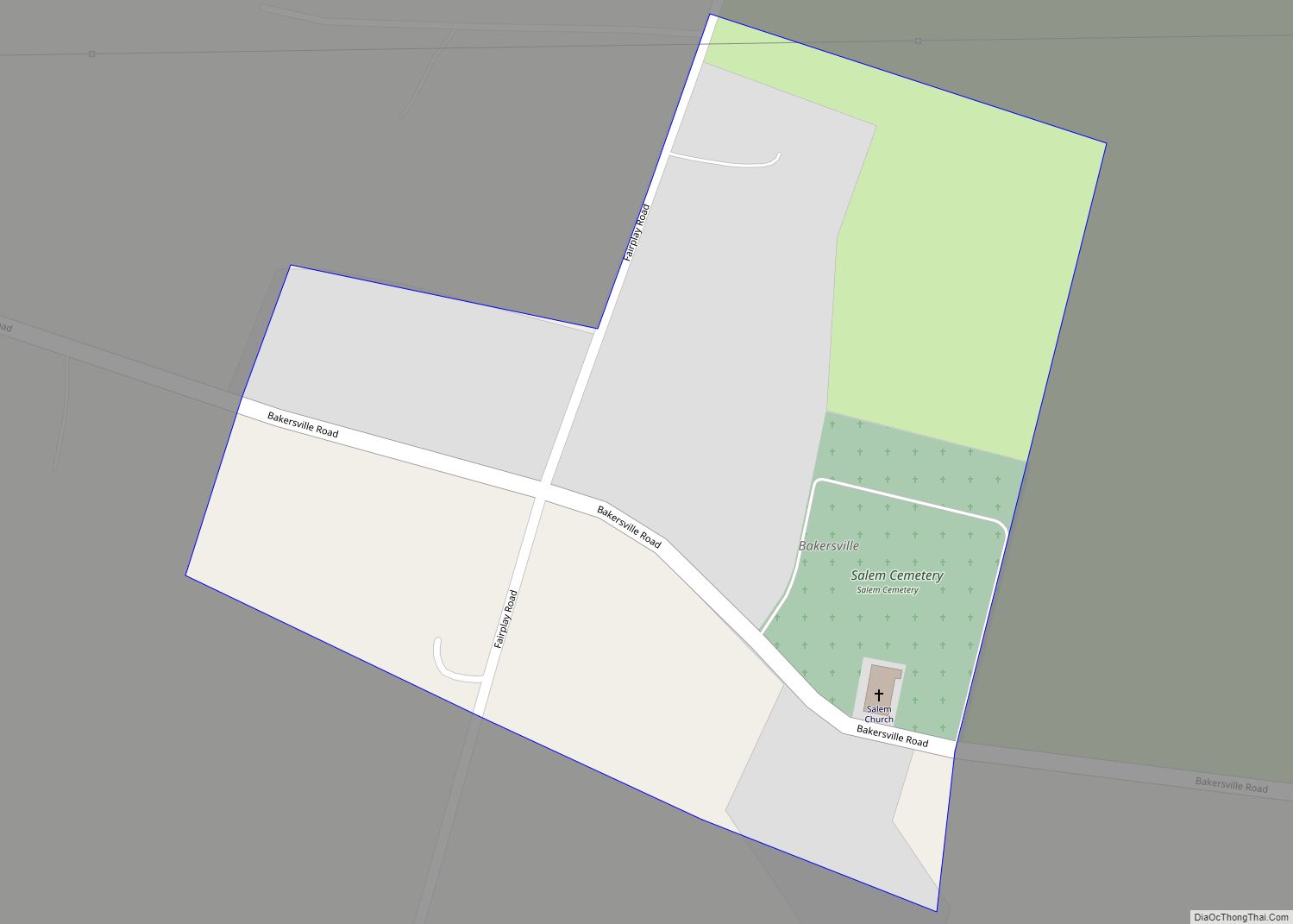
Bakersville is an unincorporated community and census-designated place in Washington County, Maryland, United States. Its population was 30 as of the 2010 census. Bakersville CDP overview: Name: Bakersville CDP LSAD Code: 57 LSAD Description: CDP (suffix) State: Maryland County: Washington County Elevation: 423 ft (129 m) Total Area: 0.05 sq mi (0.13 km²) Land Area: 0.05 sq mi (0.13 km²) Water Area: 0.00 sq mi ... Read more
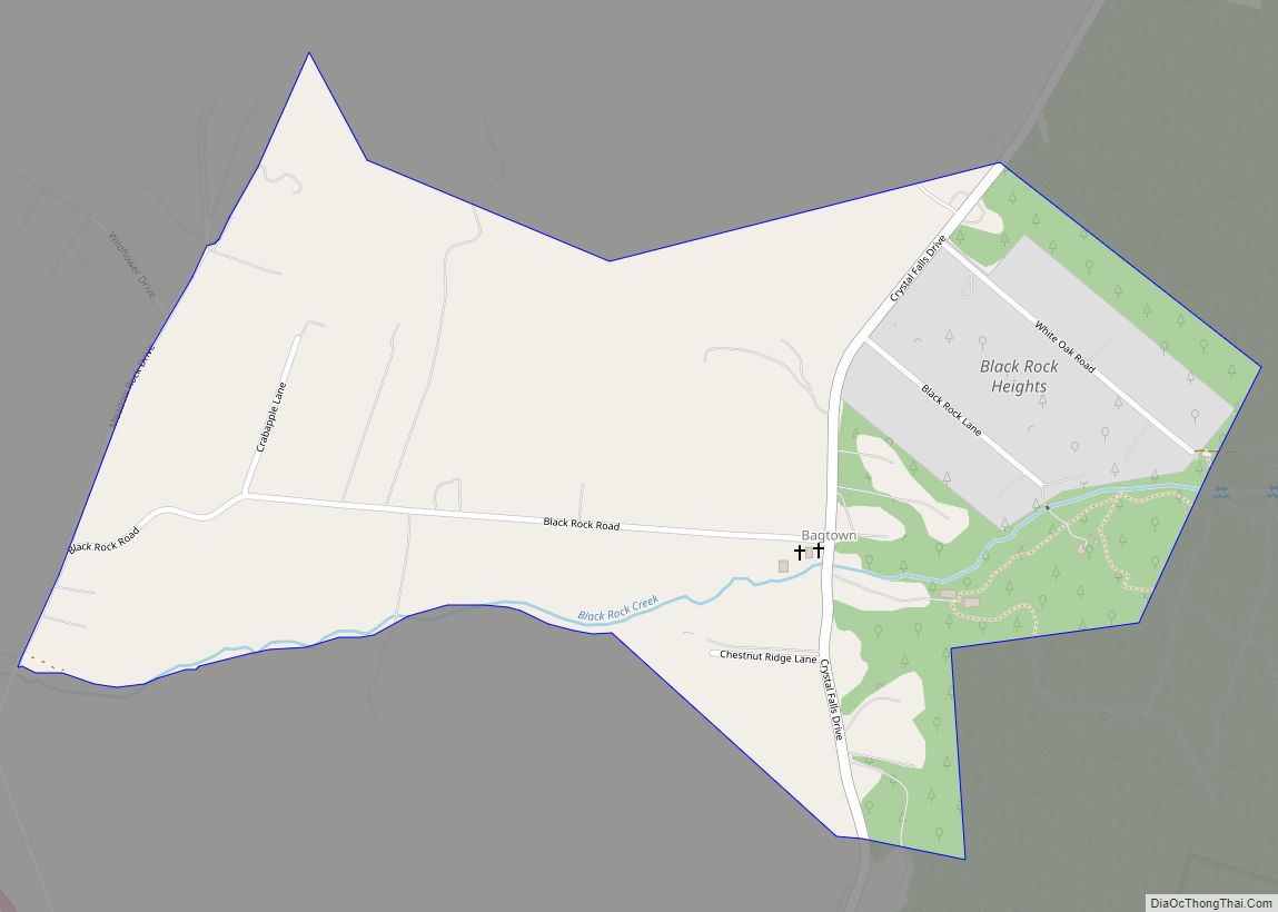
Bagtown is an unincorporated community and census-designated place in Washington County, Maryland, United States. Its population was 333 as of the 2010 census. Bagtown CDP overview: Name: Bagtown CDP LSAD Code: 57 LSAD Description: CDP (suffix) State: Maryland County: Washington County Elevation: 689 ft (210 m) Total Area: 0.55 sq mi (1.41 km²) Land Area: 0.55 sq mi (1.41 km²) Water Area: 0.00 sq mi ... Read more
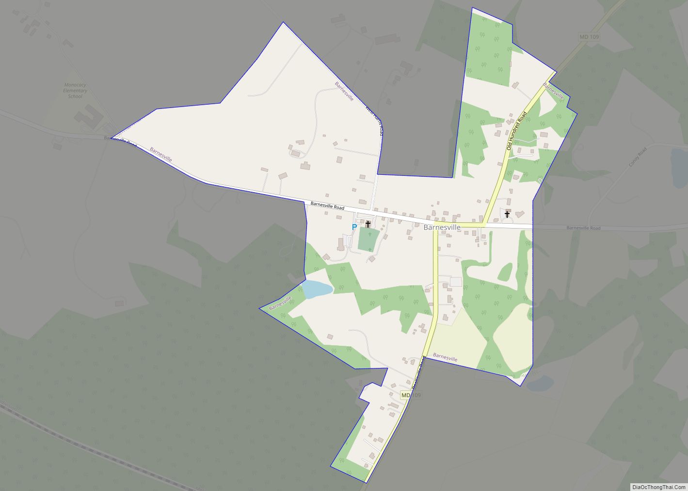
Barnesville is a town in Montgomery County, Maryland, United States. It was incorporated in 1888. The population was 144 at the 2020 census. Barnesville town overview: Name: Barnesville town LSAD Code: 43 LSAD Description: town (suffix) State: Maryland County: Montgomery County Incorporated: 1888 Elevation: 554 ft (169 m) Total Area: 0.49 sq mi (1.27 km²) Land Area: 0.49 sq mi (1.27 km²) Water ... Read more
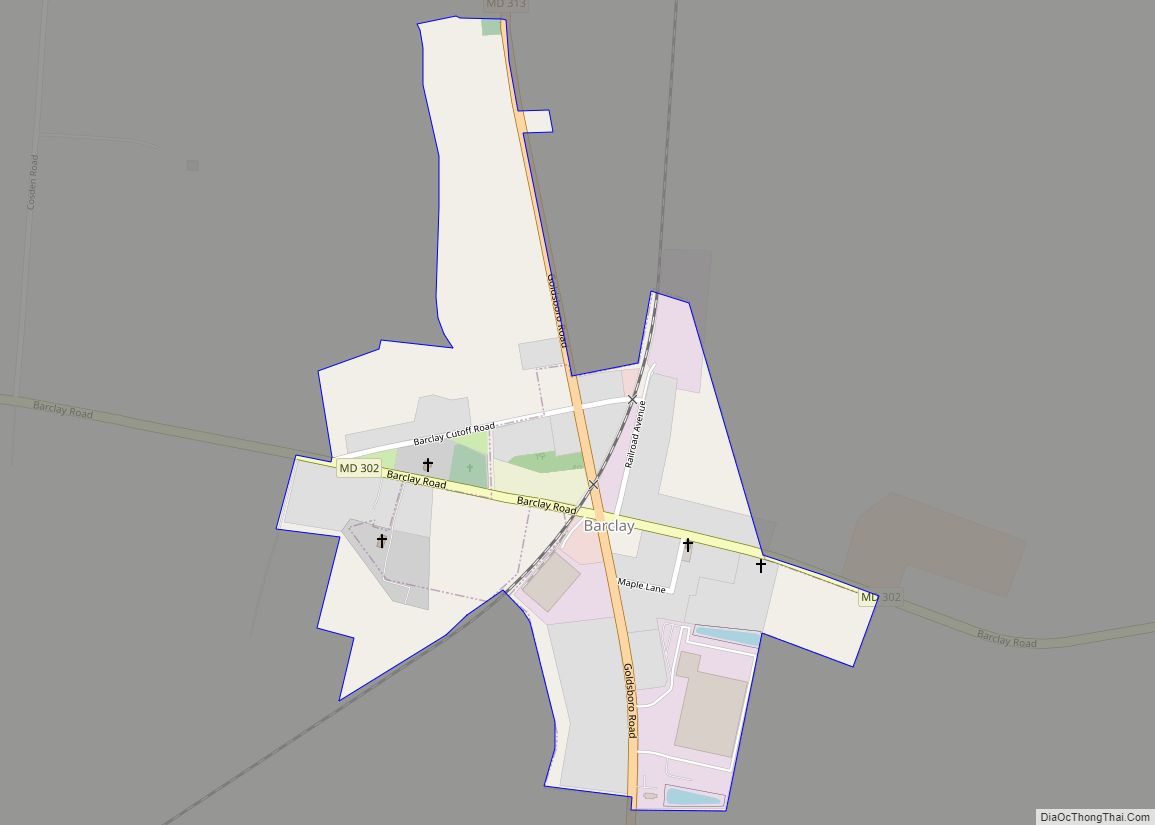
Barclay is a town in Queen Anne’s County, Maryland, United States. The population was 120 at the 2010 census. Barclay town overview: Name: Barclay town LSAD Code: 43 LSAD Description: town (suffix) State: Maryland County: Queen Anne’s County Incorporated: 1931 Elevation: 69 ft (21 m) Total Area: 0.40 sq mi (1.02 km²) Land Area: 0.40 sq mi (1.02 km²) Water Area: 0.00 sq mi (0.00 km²) ... Read more
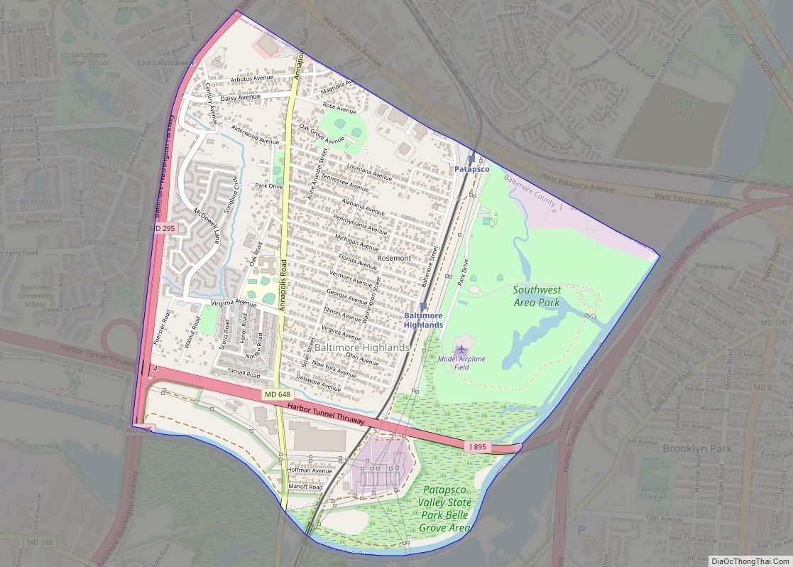
Baltimore Highlands is a census-designated place (CDP) in Baltimore County, Maryland, United States, directly south of the city of Baltimore. The population was 7,019 at the 2010 census. At the 2000 census and earlier, the area was delineated as part of the Lansdowne-Baltimore Highlands CDP. Baltimore Highlands CDP overview: Name: Baltimore Highlands CDP LSAD Code: ... Read more
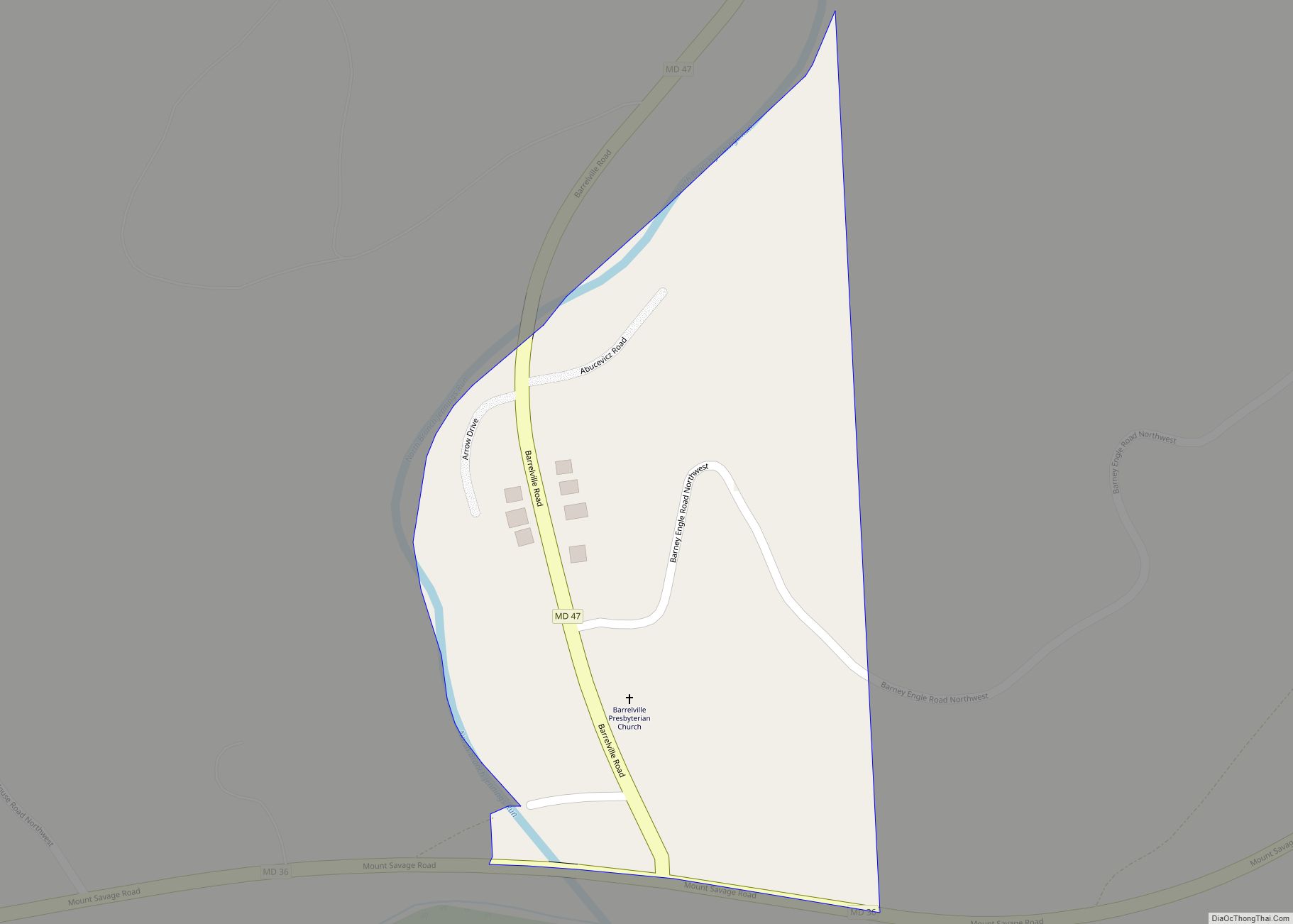
Barrelville (historically sometimes known as Pamosa) is an unincorporated community and census-designated place (CDP) in Allegany County, Maryland, United States. As of the 2010 census, it had a population of 73. It is located between Corriganville and Mount Savage, where an 1804 road from Pennsylvania intersected the legendary Turkey Foot Road. Jennings Run flows from ... Read more
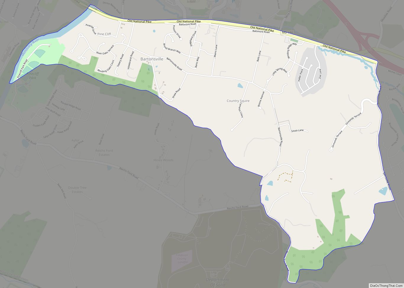
Bartonsville is an unincorporated community and census-designated place (CDP) in Frederick County, in the U.S. state of Maryland. As of the 2020 census it had a population of 2,753. Prior to 2010, the area was part of the Linganore-Bartonsville CDP. Bartonsville CDP overview: Name: Bartonsville CDP LSAD Code: 57 LSAD Description: CDP (suffix) State: Maryland ... Read more
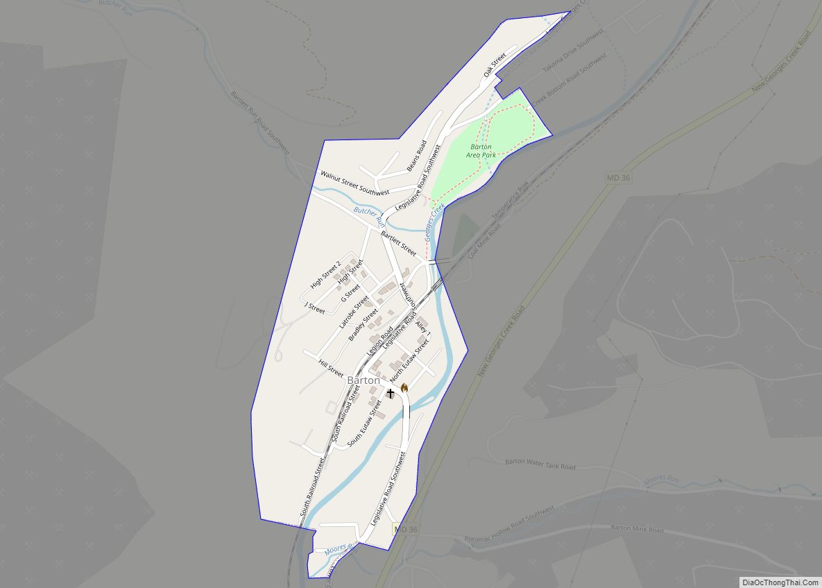
Barton is a town in Allegany County, Maryland, United States, located along the Georges Creek Valley. It is part of the Cumberland, MD-WV Metropolitan Statistical Area. The population was 457 at the 2010 census. Barton town overview: Name: Barton town LSAD Code: 43 LSAD Description: town (suffix) State: Maryland County: Allegany County Incorporated: 1900 Elevation: ... Read more
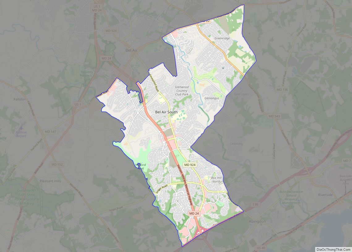
Bel Air South is a census-designated place (CDP) in Harford County, Maryland, United States. The population was 47,709 at the 2010 census, up from 39,711 in 2000. Bel Air South CDP overview: Name: Bel Air South CDP LSAD Code: 57 LSAD Description: CDP (suffix) State: Maryland County: Harford County Elevation: 350 ft (110 m) Total Area: 21.37 sq mi ... Read more
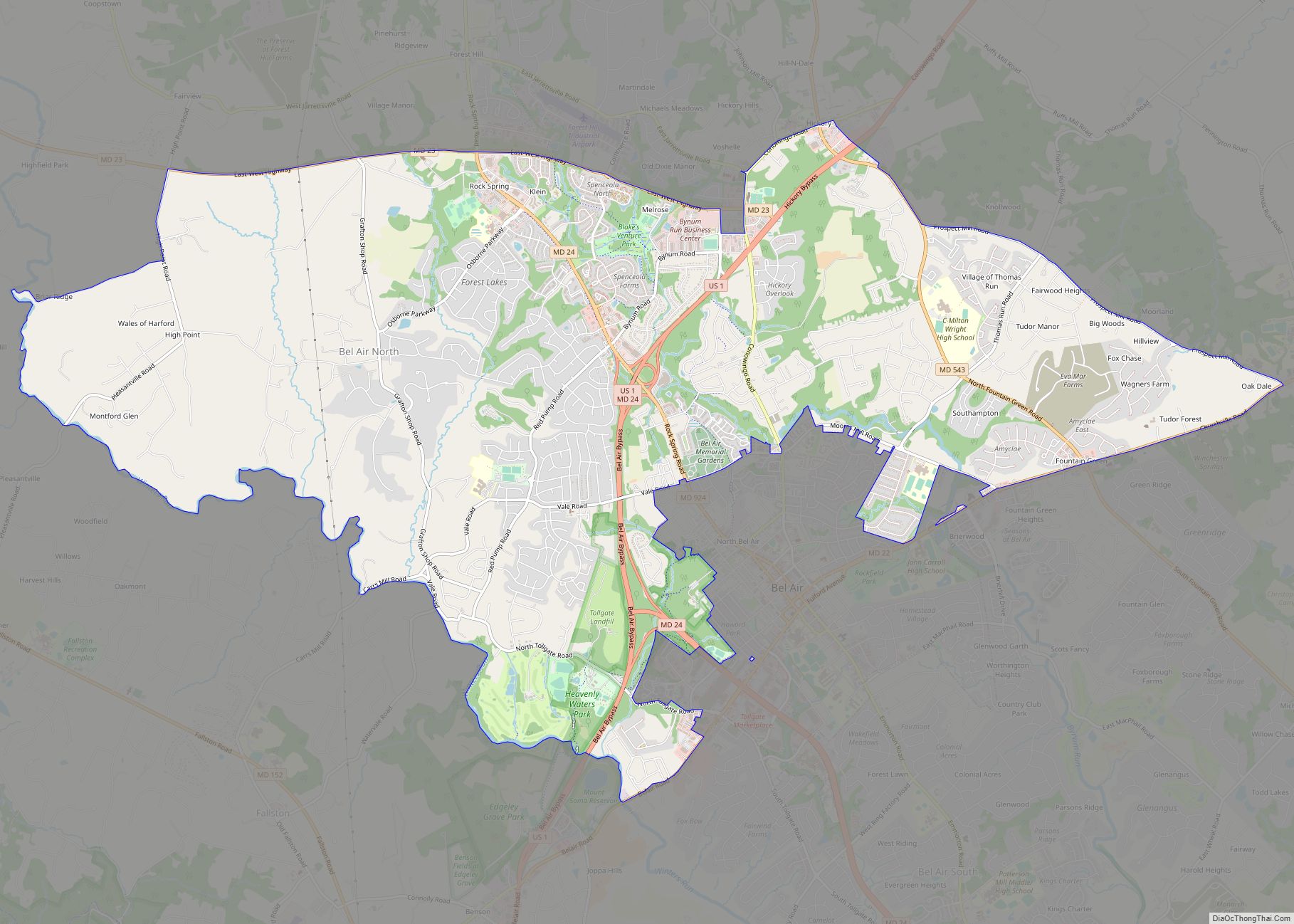
Bel Air North is a census-designated place (CDP) in Harford County, Maryland, United States. It is situated immediately north of (and excludes) the incorporated town of Bel Air. As of the 2010 census, the CDP population was 30,568, up from 25,798 in 2000. Bel Air North CDP overview: Name: Bel Air North CDP LSAD Code: ... Read more
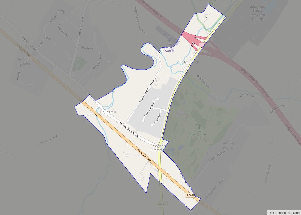
Beaver Creek is an unincorporated community in eastern Washington County, Maryland, United States. Its population was 251 as of the 2010 census. It is located southeast of Hagerstown and north of Boonsboro near U.S. Route 40 and Maryland Route 66. The community is officially included in the Hagerstown Metropolitan Area (Hagerstown-Martinsburg, MD-WV Metropolitan Statistical Area). ... Read more
