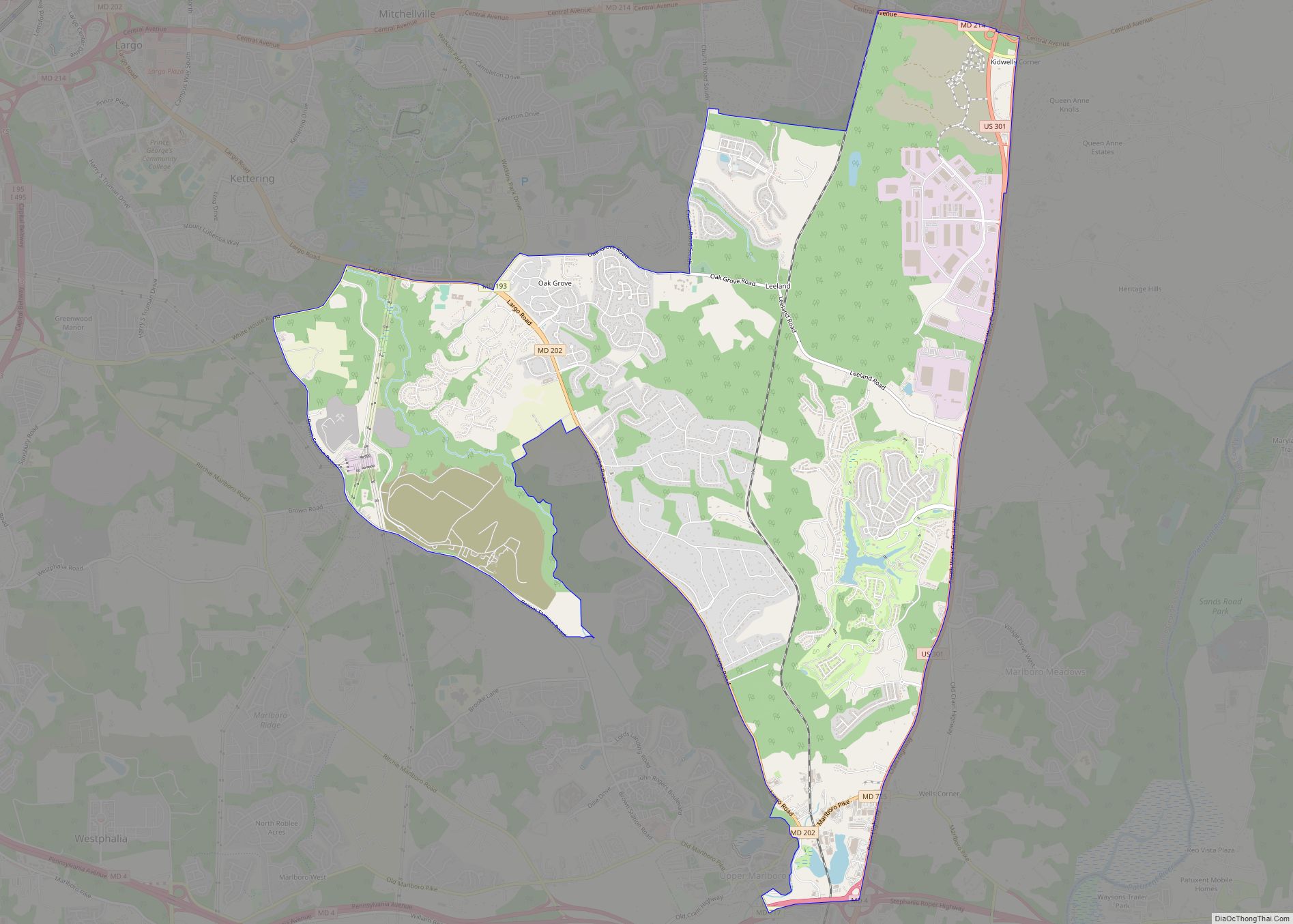
Brock Hall is an unincorporated area and census-designated place in eastern Prince George’s County, Maryland, United States, located south of Largo and Bowie, and north of Upper Marlboro. As of the 2020 census, the CDP had a population of 13,181. Brock Hall CDP overview: Name: Brock Hall CDP LSAD Code: 57 LSAD Description: CDP (suffix) ... Read more
Maryland Cities and Places
Brooklyn Park is a census-designated place (CDP) in Anne Arundel County, Maryland, United States. The population was 14,373 at the 2010 census. Brooklyn Park CDP overview: Name: Brooklyn Park CDP LSAD Code: 57 LSAD Description: CDP (suffix) State: Maryland County: Anne Arundel County Elevation: 112 ft (34 m) Total Area: 4.27 sq mi (11.06 km²) Land Area: 4.21 sq mi (10.91 km²) Water ... Read more
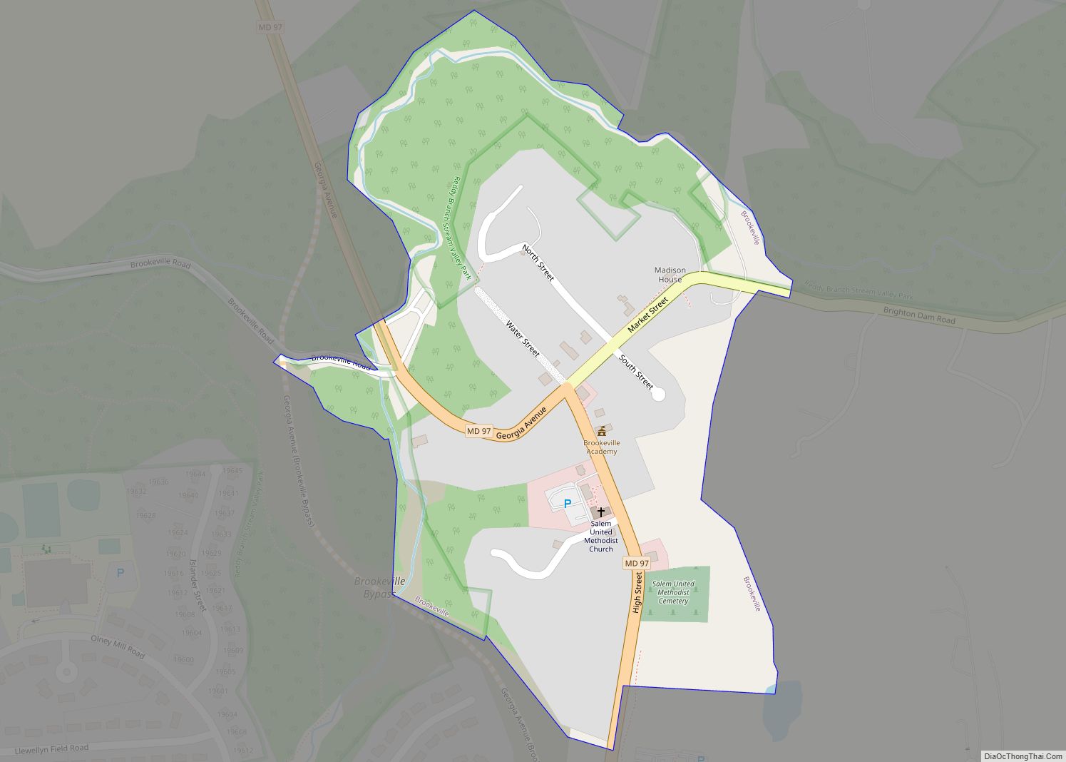
Brookeville is a town in Montgomery County, Maryland, United States, located 20 km (12 mi) north of Washington, D.C., and 2 km (1.2 mi) north of Olney. Brookeville was settled by Quakers late in the 18th century and was formally incorporated as a town in 1808. Historically part of the local agricultural industry, Brookeville has developed rapidly into a ... Read more
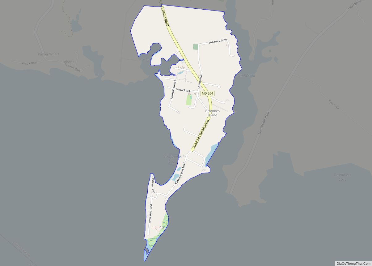
Broomes Island is a small waterfront community and census-designated place (CDP) located at the southern terminus of MD 264 in Calvert County, Maryland, United States, on the Patuxent River. It is located approximately 10 miles (16 km) south of Prince Frederick, the county seat. As of 2019 Census estimates, the population of the CDP was 421. ... Read more
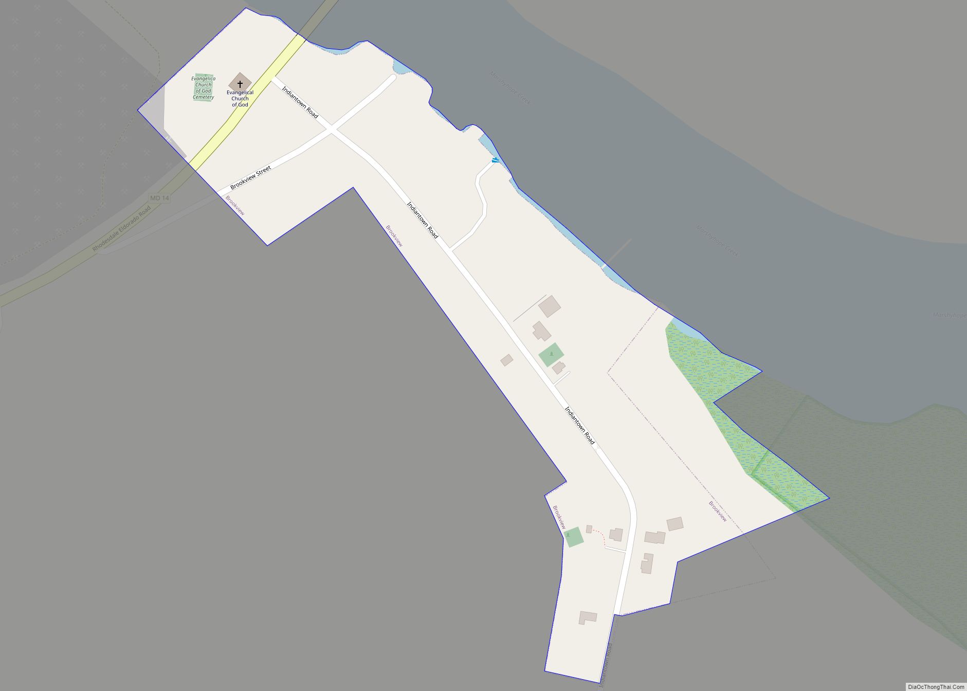
Brookview is a town in Dorchester County, Maryland, United States. The population was 48 at the 2020 census. Brookview was incorporated in 1953. Brookview is governed by a three-person town council. Each member of the town council is elected by voters to a three-year term in office. The now deceased Richard E. Sullivan had previously ... Read more
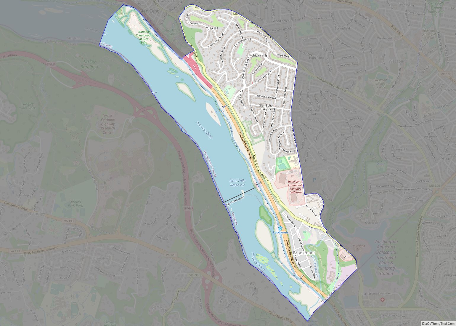
Brookmont is a census-designated place and an unincorporated area in Montgomery County, Maryland, United States. Brookmont is often considered part of neighboring Bethesda because it falls within Bethesda’s 20816 zip code. Brookmont CDP overview: Name: Brookmont CDP LSAD Code: 57 LSAD Description: CDP (suffix) State: Maryland County: Montgomery County Elevation: 121 ft (37 m) Total Area: 1.97 sq mi ... Read more
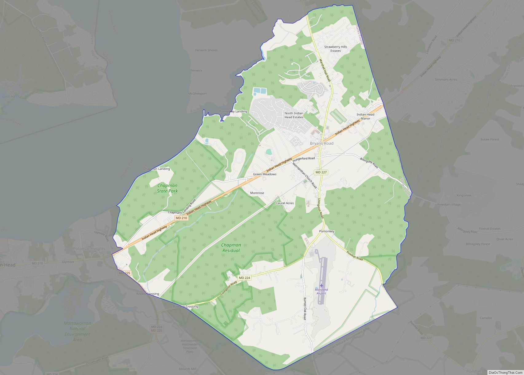
Bryans Road is a census-designated place (CDP) in Charles County, Maryland, United States. Per the 2020 census, the population was 8,650. Bryans Road was named after Oliver Norris Bryan, a 19th-century farmer and scientist who owned and operated Locust Grove Farm near Marshall Hall. The area consisted mostly of tobacco farms until the establishment of ... Read more
Brunswick is a city in southwestern Frederick County, Maryland, United States. The city is located on the north bank of the Potomac River; Loudoun County, Virginia occupies the opposite shore. The population of Brunswick was 7,762 at the 2020 census. There are three schools serving Brunswick: Brunswick Elementary School, Brunswick Middle School, and Brunswick High ... Read more
Brownsville (also Banjotown) is an unincorporated community and census-designated place in Washington County, Maryland, United States, near Gapland in an area known as Pleasant Valley. Its population was 89 as of the 2010 census. Brownsville CDP overview: Name: Brownsville CDP LSAD Code: 57 LSAD Description: CDP (suffix) State: Maryland County: Washington County Elevation: 545 ft (166 m) ... Read more
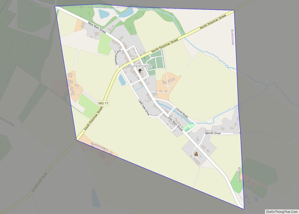
Burkittsville is a historic village in Frederick County, Maryland, United States. The village lies in the southern Middletown Valley along the eastern base of South Mountain. Burkittsville is a residential area with an economy based in agriculture and tourism. The village was the scene of the Battle of Crampton’s Gap, part of the Battle of ... Read more
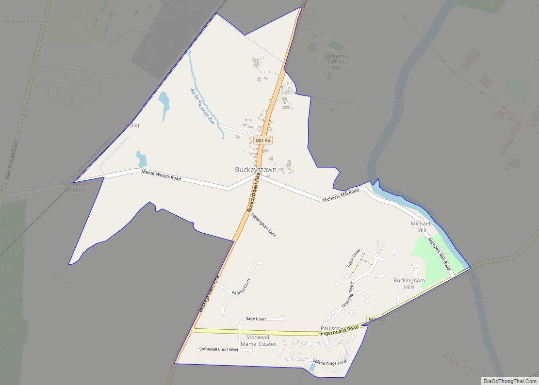
Buckeystown is an unincorporated community and census-designated place (CDP) in Frederick County, Maryland, United States. As of the 2010 census the population was 1,019. Buckeystown Historic District and Buckingham House and Industrial School Complex were listed on the National Register of Historic Places in 1982. Carrollton Manor was listed in 1997. Former Congressman Roscoe Bartlett ... Read more
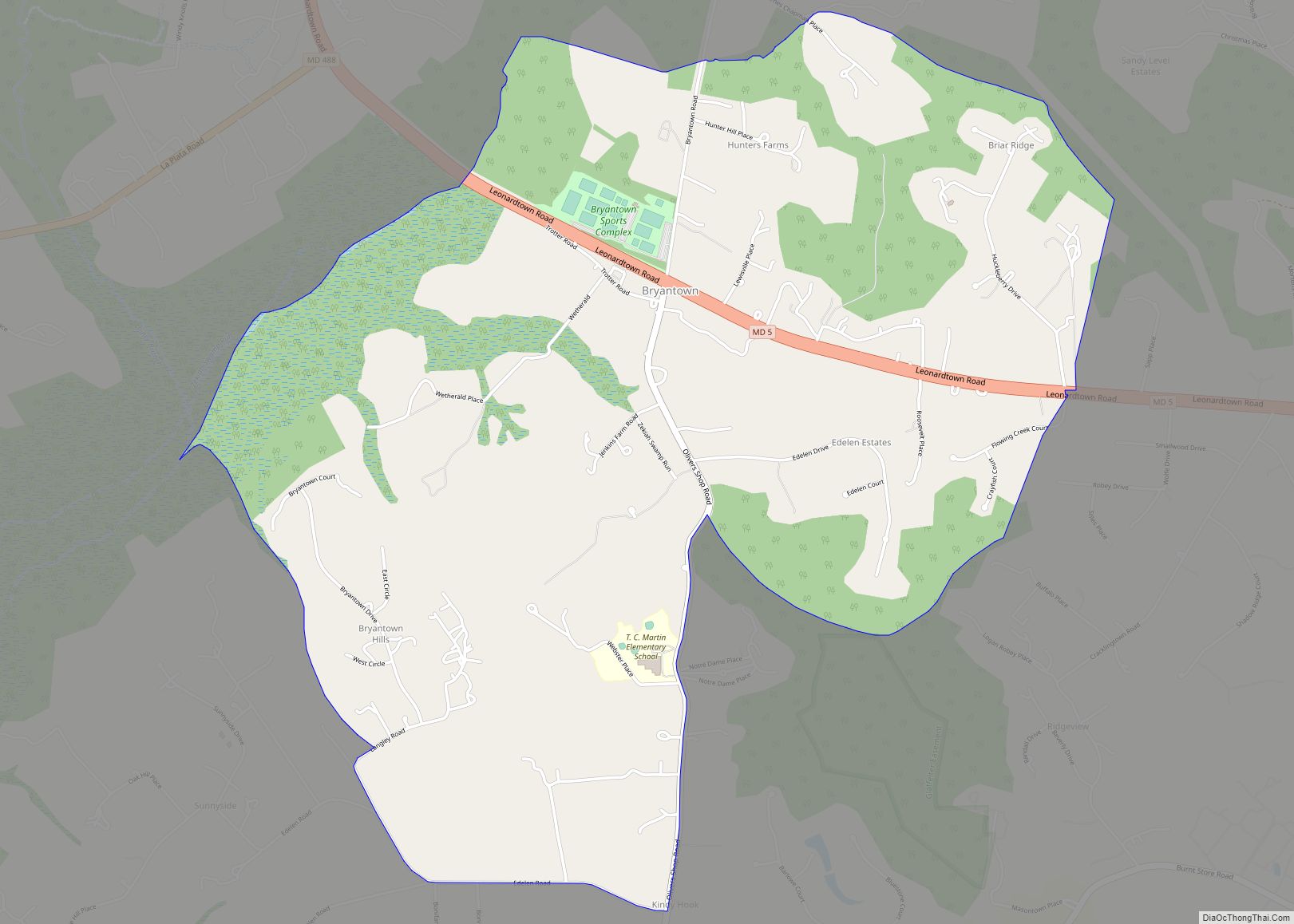
Bryantown is an unincorporated community and census-designated place in Charles County, Maryland, United States, adjacent to Maryland Route 5. As of the 2010 census, it had a population of 655. Bryantown stands on land known as Boarman’s Manor, a 4,000-acre (16 km) manor granted to Major William Boarman in 1674. Bryantown is associated with the flight ... Read more
