Map of Swampscott CDP

Map of Swampscott CDP

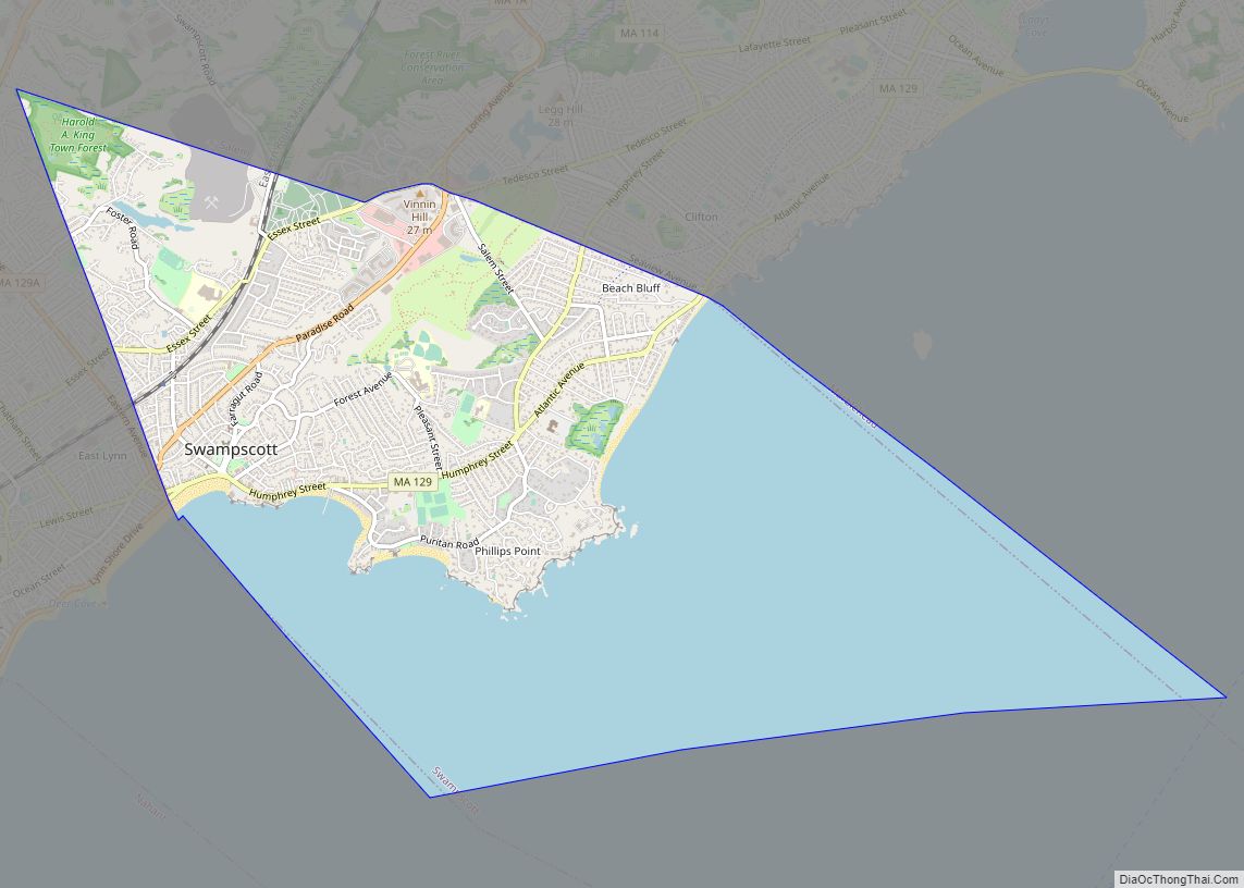
Swampscott (/ˈswɒmpskət/) is a town in Essex County, Massachusetts, United States, located 15 miles (24 km) up the coast from Boston in an area known as the North Shore. The population was 15,111 as of the 2020 United States Census. A former summer resort on Massachusetts Bay, Swampscott is today a fairly affluent residential community and … Read more

Map of Sturbridge CDP

Map of Sturbridge CDP

Sturbridge is a census-designated place (CDP) in the town of Sturbridge in Worcester County, Massachusetts, United States. The population was 2,253 at the 2010 census. Sturbridge CDP overview: Name: Sturbridge CDP LSAD Code: 57 LSAD Description: CDP (suffix) State: Massachusetts County: Worcester County Elevation: 587 ft (179 m) Total Area: 5.40 sq mi (14.00 km²) Land Area: 5.33 sq mi (13.80 km²) Water … Read more

Map of Topsfield CDP

Map of Topsfield CDP

Topsfield is a census-designated place (CDP) in the town of Topsfield in Essex County, Massachusetts, United States. The population was 2,717 at the 2010 census. Topsfield CDP overview: Name: Topsfield CDP LSAD Code: 57 LSAD Description: CDP (suffix) State: Massachusetts County: Essex County Elevation: 59 ft (18 m) Total Area: 2.74 sq mi (7.11 km²) Land Area: 2.71 sq mi (7.01 km²) Water … Read more

Map of The Pinehills CDP

Map of The Pinehills CDP

The Pinehills is a census-designated place (CDP) located in the Pine Hills region of Plymouth, Massachusetts, United States. At the 2010 census, the population was 955. It includes a real estate development that bears the same name. As of 2008, the project is the largest new residential and commercial development in New England. When complete, … Read more

Map of Teaticket CDP

Map of Teaticket CDP

Teaticket /ˈtiːˌtɪkɪt/ is a census-designated place (CDP) in the town of Falmouth, Massachusetts. The population was 1,692 at the 2010 census. Its name comes from The Wampanoag word “Tataket,” which translates roughly and appropriately as “at the principal tidal stream.” Teaticket CDP overview: Name: Teaticket CDP LSAD Code: 57 LSAD Description: CDP (suffix) State: Massachusetts … Read more

Map of Upton CDP, Massachusetts

Map of Upton CDP, Massachusetts

Upton is a census-designated place (CDP) in the town of Upton in Worcester County, Massachusetts, United States. The population was 3,013 at the 2010 census, out of 7,542 in the entire town. The CDP includes the villages of Upton and West Upton. Upton CDP overview: Name: Upton CDP LSAD Code: 57 LSAD Description: CDP (suffix) … Read more

Map of Turners Falls CDP

Map of Turners Falls CDP

Turners Falls is an unincorporated village and census-designated place in the town of Montague in Franklin County, Massachusetts, United States. The population was 4,512 at the 2020 census. It is part of the Springfield, Massachusetts Metropolitan Statistical Area. Its name is generally used as a metonym for the entire town of Montague, for which it … Read more

Map of Townsend CDP, Massachusetts

Map of Townsend CDP, Massachusetts

Townsend is a census-designated place (CDP) in the town of Townsend in Middlesex County, Massachusetts, United States. The population was 1,128 at the 2010 census. Townsend CDP overview: Name: Townsend CDP LSAD Code: 57 LSAD Description: CDP (suffix) State: Massachusetts County: Middlesex County Elevation: 315 ft (96 m) Total Area: 1.72 sq mi (4.47 km²) Land Area: 1.69 sq mi (4.39 km²) Water … Read more

Map of Walpole CDP

Map of Walpole CDP, Massachusetts

Walpole is a small census-designated place (CDP) located within the much larger town (21 square miles in size) of Walpole in Norfolk County, Massachusetts, United States. Walpole Town as it is called by the US Census Bureau, also includes a much larger population (24,070 in 2010). The population of the Census Designated Place was 5,918 … Read more

Map of Wakefield CDP, Massachusetts

Map of Wakefield CDP, Massachusetts

Wakefield is a town in Middlesex County, Massachusetts, in the Greater Boston metropolitan area, incorporated in 1812 and located about 12.5 mi (20.1 km) north-northwest of Downtown Boston. Wakefield’s population was 27,090 at the 2020 census. Wakefield offers an assortment of activities around the local lake, Lake Quannapowitt. Wakefield CDP overview: Name: Wakefield CDP LSAD Code: 57 … Read more

Map of Vineyard Haven CDP

Map of Vineyard Haven CDP

Vineyard Haven is a community within the town of Tisbury, Massachusetts on the island of Martha’s Vineyard. It is listed as a census-designated place (CDP) by the U.S. Census Bureau with a population of 2,114 as of the 2010 census. The area was called “Nobnocket” by the Wampanoag people and was first referred to by … Read more

Map of Wareham Center CDP

Map of Wareham Center CDP

Wareham Center is a census-designated place (CDP) in the town of Wareham in Plymouth County, Massachusetts, United States. The population was 2,896 at the 2010 census. Wareham Center CDP overview: Name: Wareham Center CDP LSAD Code: 57 LSAD Description: CDP (suffix) State: Massachusetts County: Plymouth County Elevation: 36 ft (11 m) Total Area: 2.15 sq mi (5.56 km²) Land Area: … Read more