Vineyard Haven is a community within the town of Tisbury, Massachusetts on the island of Martha’s Vineyard. It is listed as a census-designated place (CDP) by the U.S. Census Bureau with a population of 2,114 as of the 2010 census.
The area was called “Nobnocket” by the Wampanoag people and was first referred to by the colonial settlers as “Homes Hole”, “Homes” from a Wampanoag term for “old man” and “Hole” meaning a sheltered inlet. By the 19th century, it was more commonly spelled “Holmes Hole” after the descendants of John Holmes (1730–1812) who had settled in the village during the second half of the 18th century. The village officially changed its name to Vineyard Haven in 1871. The name Vineyard Haven technically refers only to one section of the town of Tisbury, but the names are used interchangeably and Vineyard Haven is commonly used as a title for the whole town.
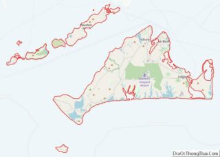
Vineyard Haven is the main port of entry to Martha’s Vineyard and one of the three main population centers (with Edgartown and Oak Bluffs). The Steamship Authority wharf is located in Vineyard Haven where ferries arrive and depart year-round. (A second, seasonal wharf is located in neighboring Oak Bluffs.) The year-round population is only about 2,000 people, but that number increases tremendously in the summer.
| Name: | Vineyard Haven CDP |
|---|---|
| LSAD Code: | 57 |
| LSAD Description: | CDP (suffix) |
| State: | Massachusetts |
| County: | Dukes County |
| Elevation: | 46 ft (14 m) |
| Total Area: | 1.31 sq mi (3.40 km²) |
| Land Area: | 1.30 sq mi (3.38 km²) |
| Water Area: | 0.01 sq mi (0.02 km²) |
| Total Population: | 2,747 |
| Population Density: | 2,106.60/sq mi (813.23/km²) |
| ZIP code: | 02568, 02573 |
| Area code: | 508 |
| FIPS code: | 2571970 |
| GNISfeature ID: | 0616143 |
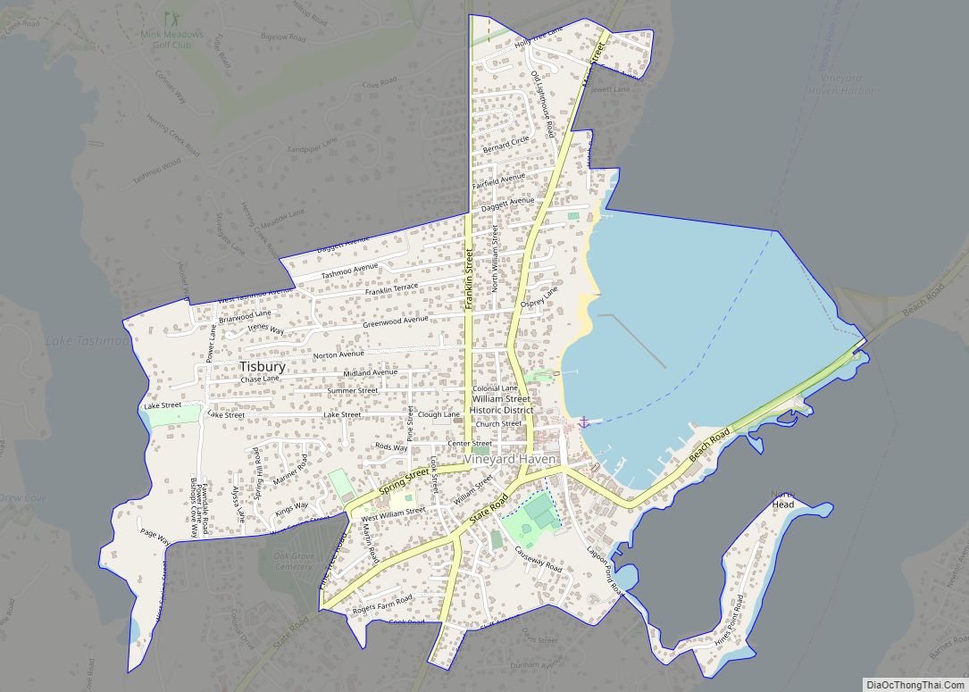
Online Interactive Map
Click on ![]() to view map in "full screen" mode.
to view map in "full screen" mode.
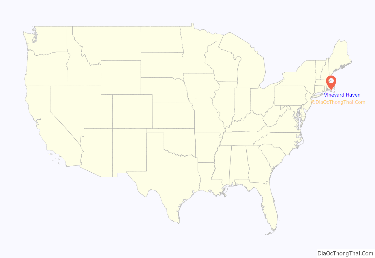
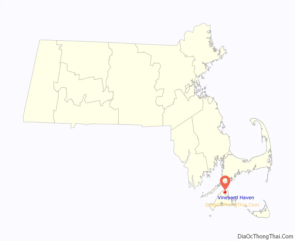
Vineyard Haven location map. Where is Vineyard Haven CDP?
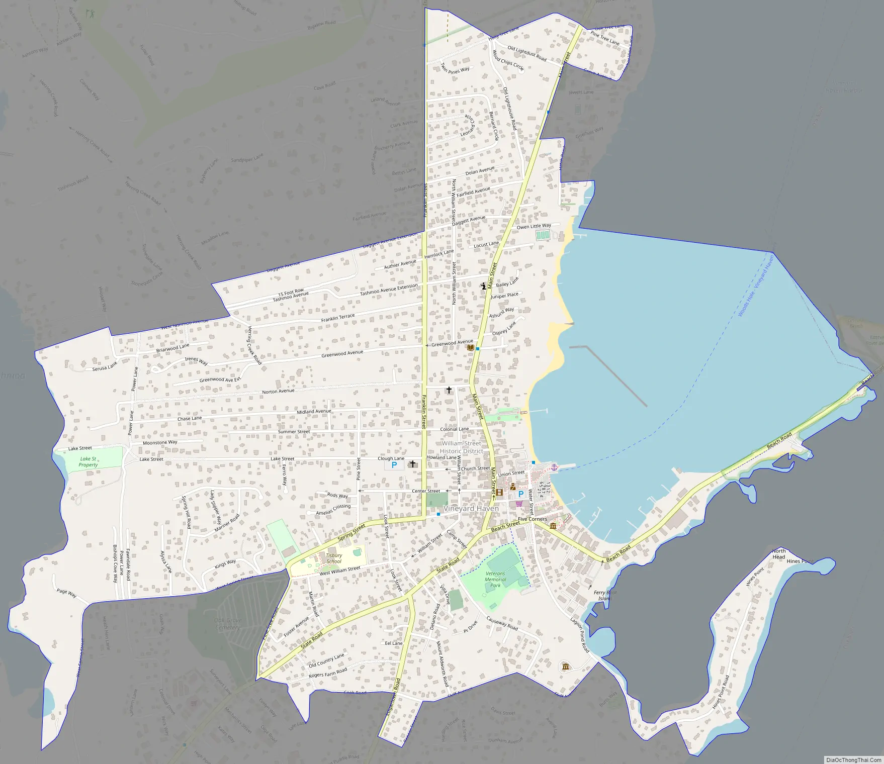
Vineyard Haven Road Map
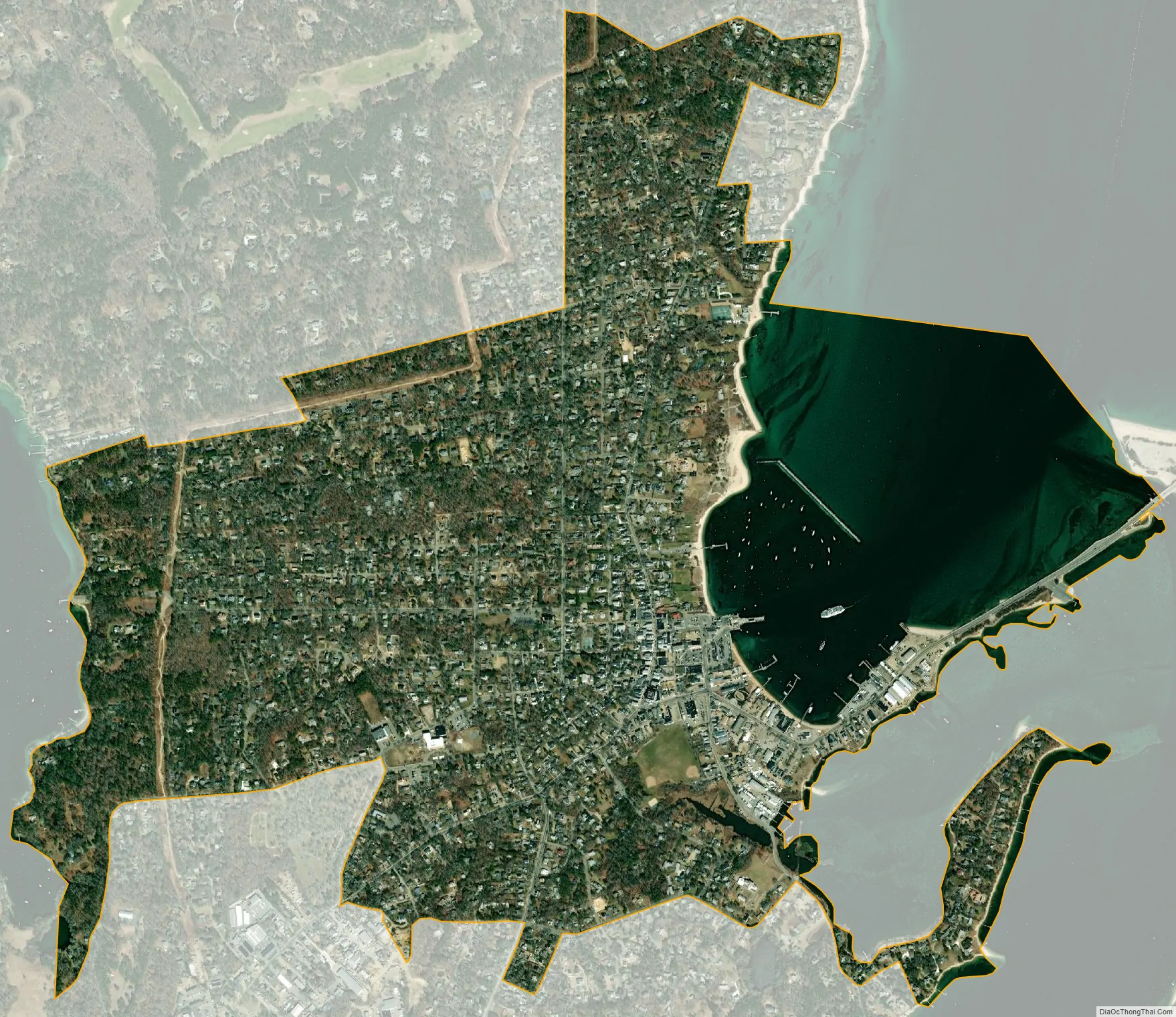
Vineyard Haven city Satellite Map
Geography
Vineyard Haven is located at 41°27′22″N 70°36′26″W / 41.456109°N 70.607176°W / 41.456109; -70.607176.
According to the United States Census Bureau, the CDP has a total area of 4.1 km (1.6 mi). 3.2 km (1.2 mi) of it is land and 0.9 km (0.3 mi) of it (20.89%) is water.
See also
Map of Massachusetts State and its subdivision: Map of other states:- Alabama
- Alaska
- Arizona
- Arkansas
- California
- Colorado
- Connecticut
- Delaware
- District of Columbia
- Florida
- Georgia
- Hawaii
- Idaho
- Illinois
- Indiana
- Iowa
- Kansas
- Kentucky
- Louisiana
- Maine
- Maryland
- Massachusetts
- Michigan
- Minnesota
- Mississippi
- Missouri
- Montana
- Nebraska
- Nevada
- New Hampshire
- New Jersey
- New Mexico
- New York
- North Carolina
- North Dakota
- Ohio
- Oklahoma
- Oregon
- Pennsylvania
- Rhode Island
- South Carolina
- South Dakota
- Tennessee
- Texas
- Utah
- Vermont
- Virginia
- Washington
- West Virginia
- Wisconsin
- Wyoming