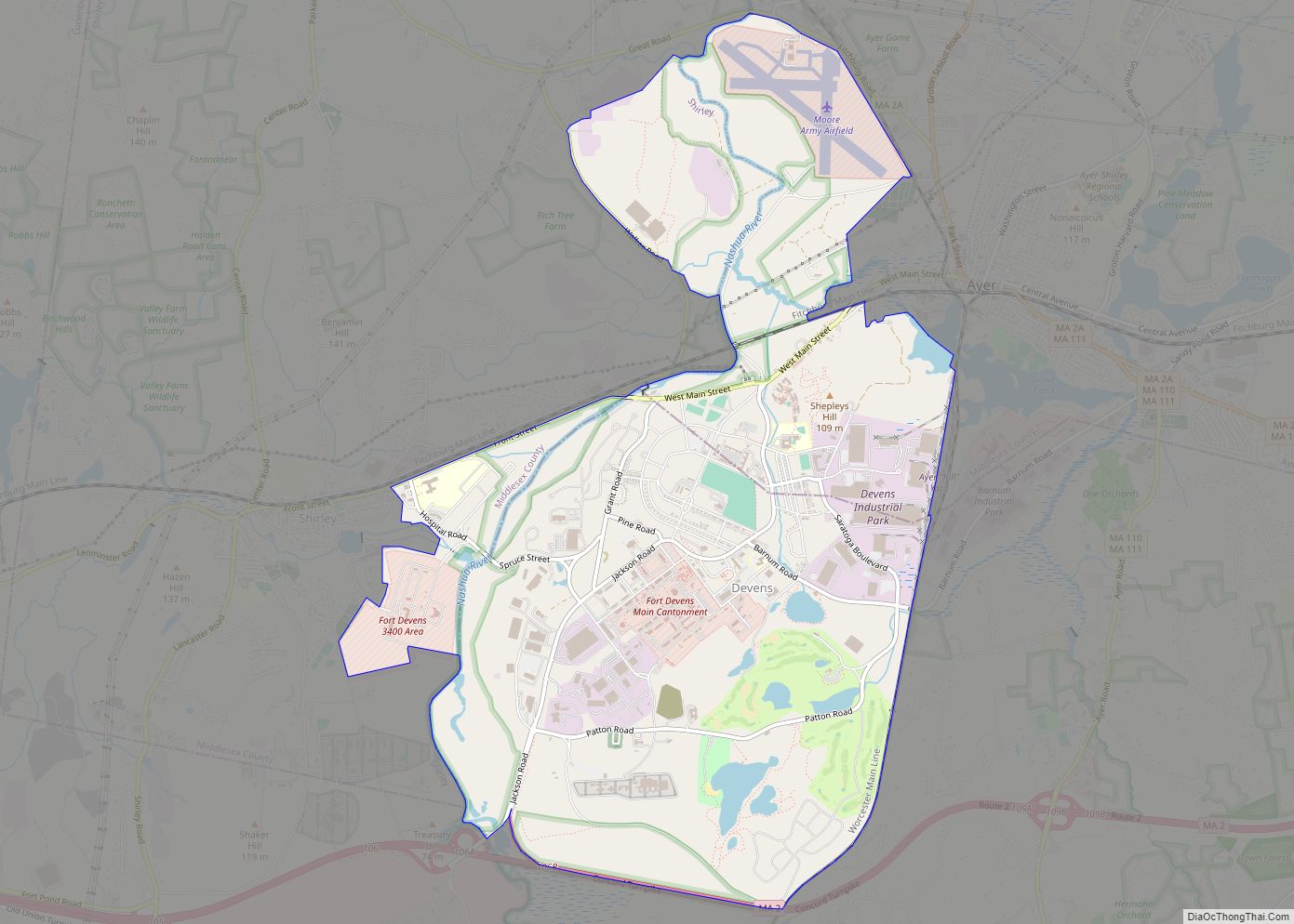
Devens is a regional enterprise zone and census-designated place in the towns of Ayer and Shirley (in Middlesex County) and Harvard (in Worcester County) in the U.S. state of Massachusetts. It is the successor to Fort Devens, a military post that operated from 1917 to 1996. The population was 1,840 at the 2010 census. Devens ... Read more
Massachusetts Cities and Places
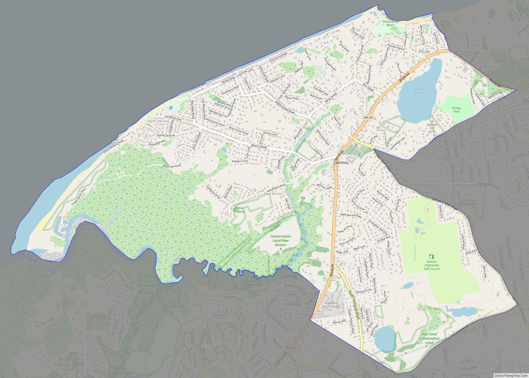
Dennis is a village and census-designated place (CDP) in the town of Dennis in Barnstable County, Massachusetts, United States. The population was 2,407 at the 2010 census. The CDP includes the populated places known as North Dennis and New Boston. The Dennis post office, one of five post offices in the town of Dennis, is ... Read more
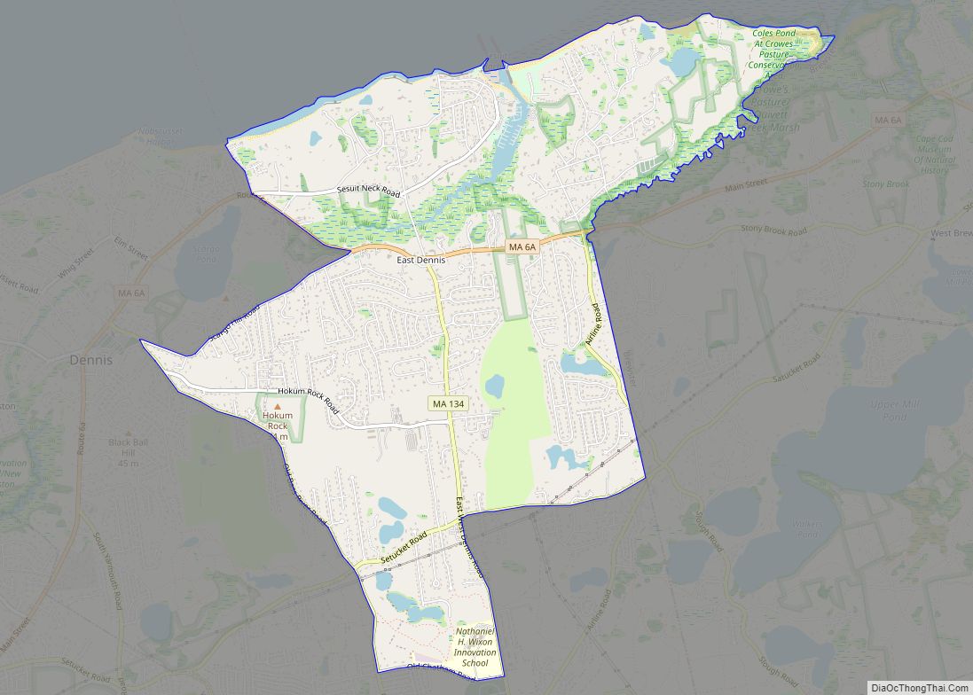
East Dennis is a census-designated place (CDP) in the town of Dennis in Barnstable County, Massachusetts, United States. The population was 2,753 at the 2010 census. East Dennis CDP overview: Name: East Dennis CDP LSAD Code: 57 LSAD Description: CDP (suffix) State: Massachusetts County: Barnstable County Elevation: 26 ft (8 m) Total Area: 4.98 sq mi (12.90 km²) Land Area: ... Read more
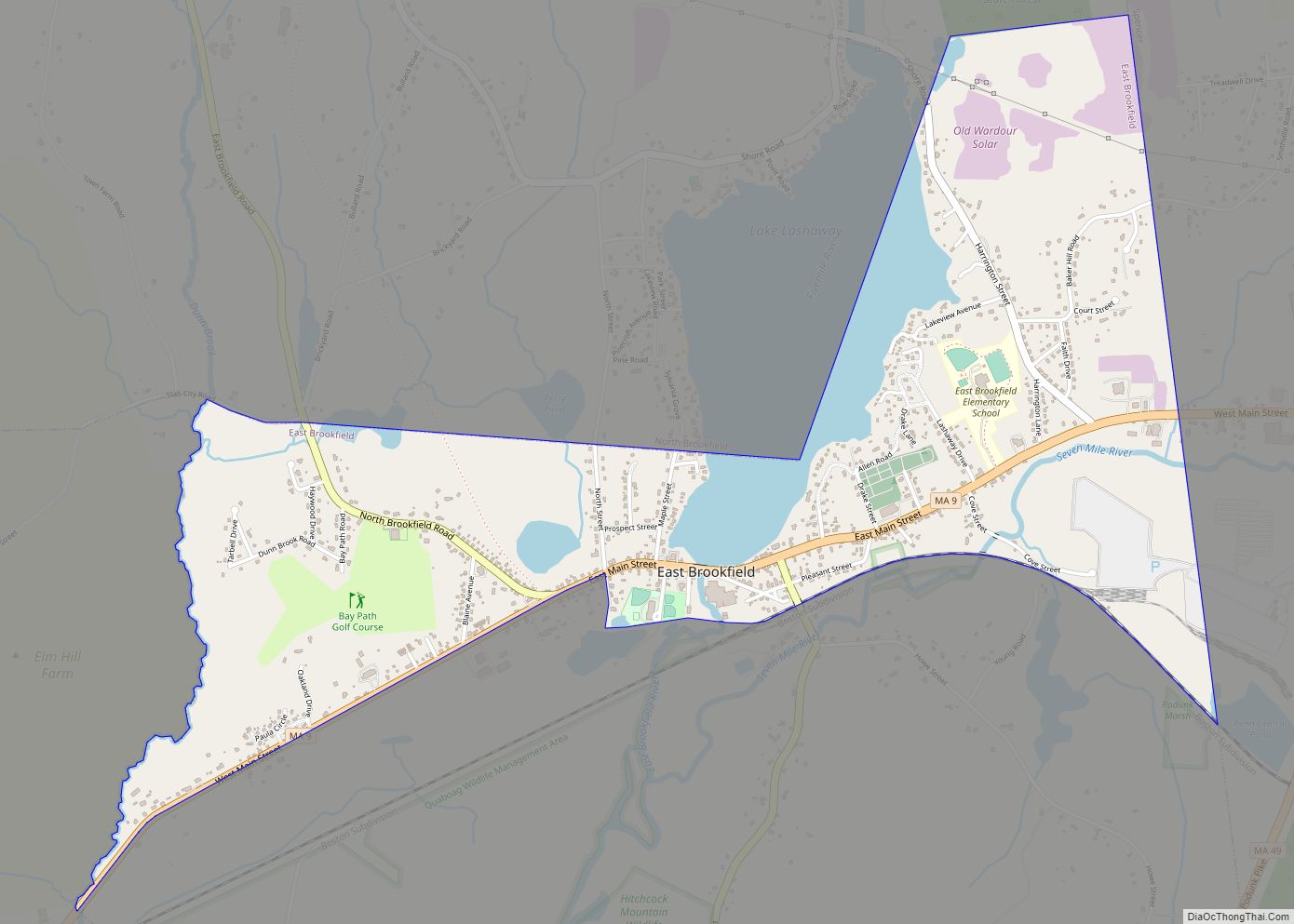
East Brookfield is a census-designated place (CDP) in the town of East Brookfield in Worcester County, Massachusetts, United States. The population was 1,323 at the 2010 census. East Brookfield CDP overview: Name: East Brookfield CDP LSAD Code: 57 LSAD Description: CDP (suffix) State: Massachusetts County: Worcester County Elevation: 614 ft (187 m) Total Area: 1.77 sq mi (4.59 km²) Land ... Read more
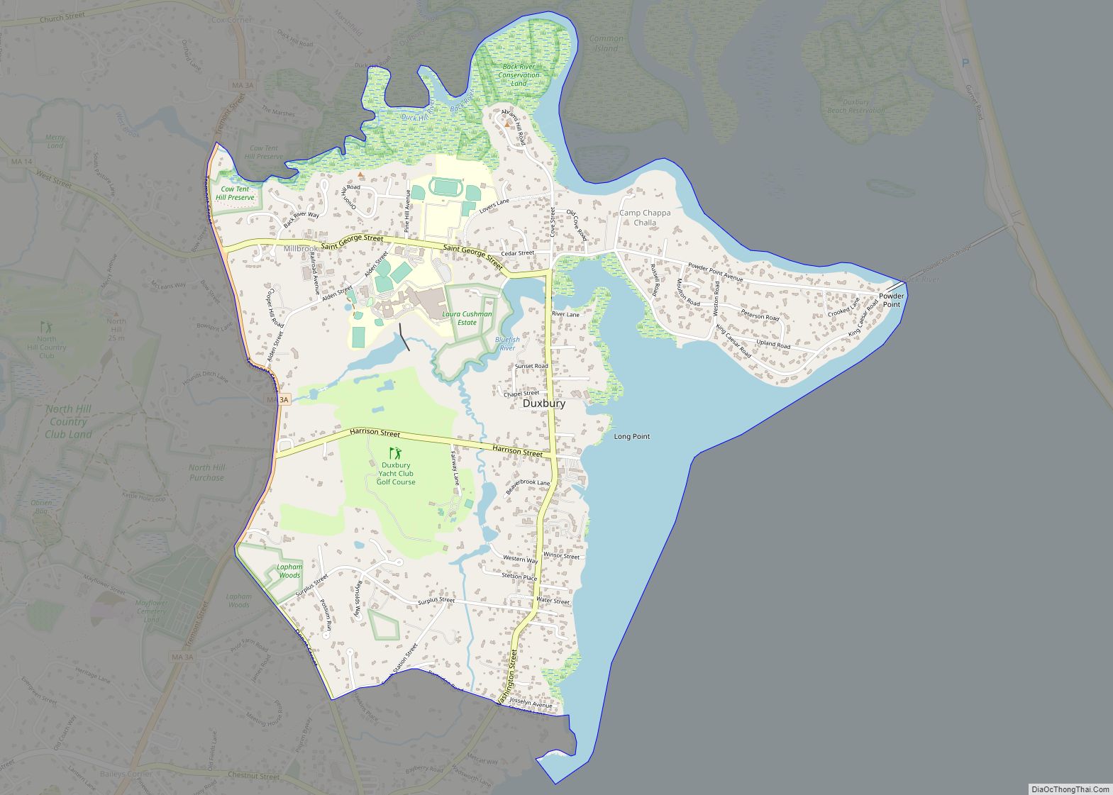
Duxbury is a census-designated place (CDP) in the town of Duxbury in Plymouth County, Massachusetts, United States. The population was 1,802 at the 2010 census. Duxbury CDP overview: Name: Duxbury CDP LSAD Code: 57 LSAD Description: CDP (suffix) State: Massachusetts County: Plymouth County Elevation: 16 ft (5 m) Total Area: 2.66 sq mi (6.89 km²) Land Area: 2.21 sq mi (5.72 km²) Water ... Read more
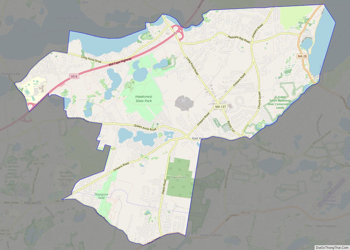
East Harwich CDP overview: Name: East Harwich CDP LSAD Code: 57 LSAD Description: CDP (suffix) State: Massachusetts County: Barnstable County FIPS code: 2519400 Online Interactive Map East Harwich online map. Source: Basemap layers from Google Map, Open Street Map (OSM), Arcgisonline, Wmflabs. Boundary Data from Database of Global Administrative Areas. East Harwich location map. Where ... Read more
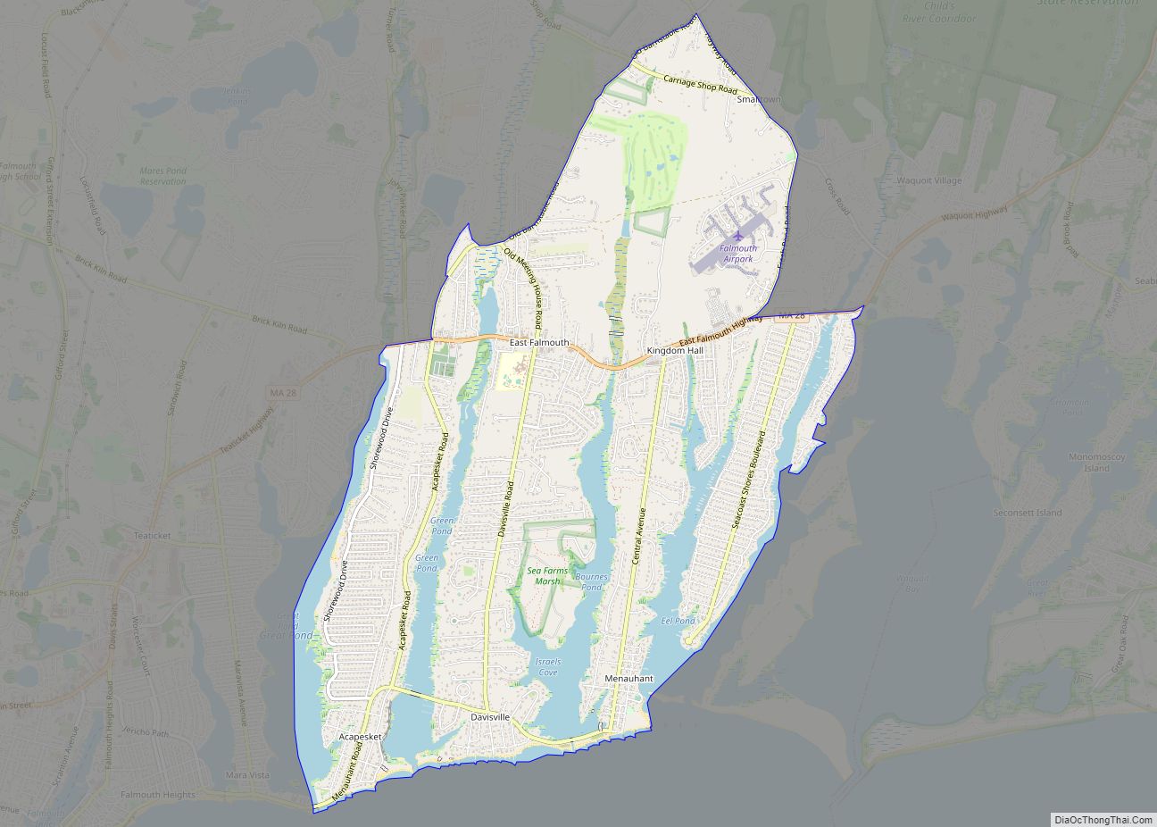
East Falmouth is a census-designated place (CDP) in the town of Falmouth in Barnstable County, Massachusetts, United States. It is located at the base of Massachusetts’ “fishhook” peninsula (see map at right). The population was 6,038 at the 2010 census, making East Falmouth the most populous of the six CDPs in Falmouth. East Falmouth CDP ... Read more
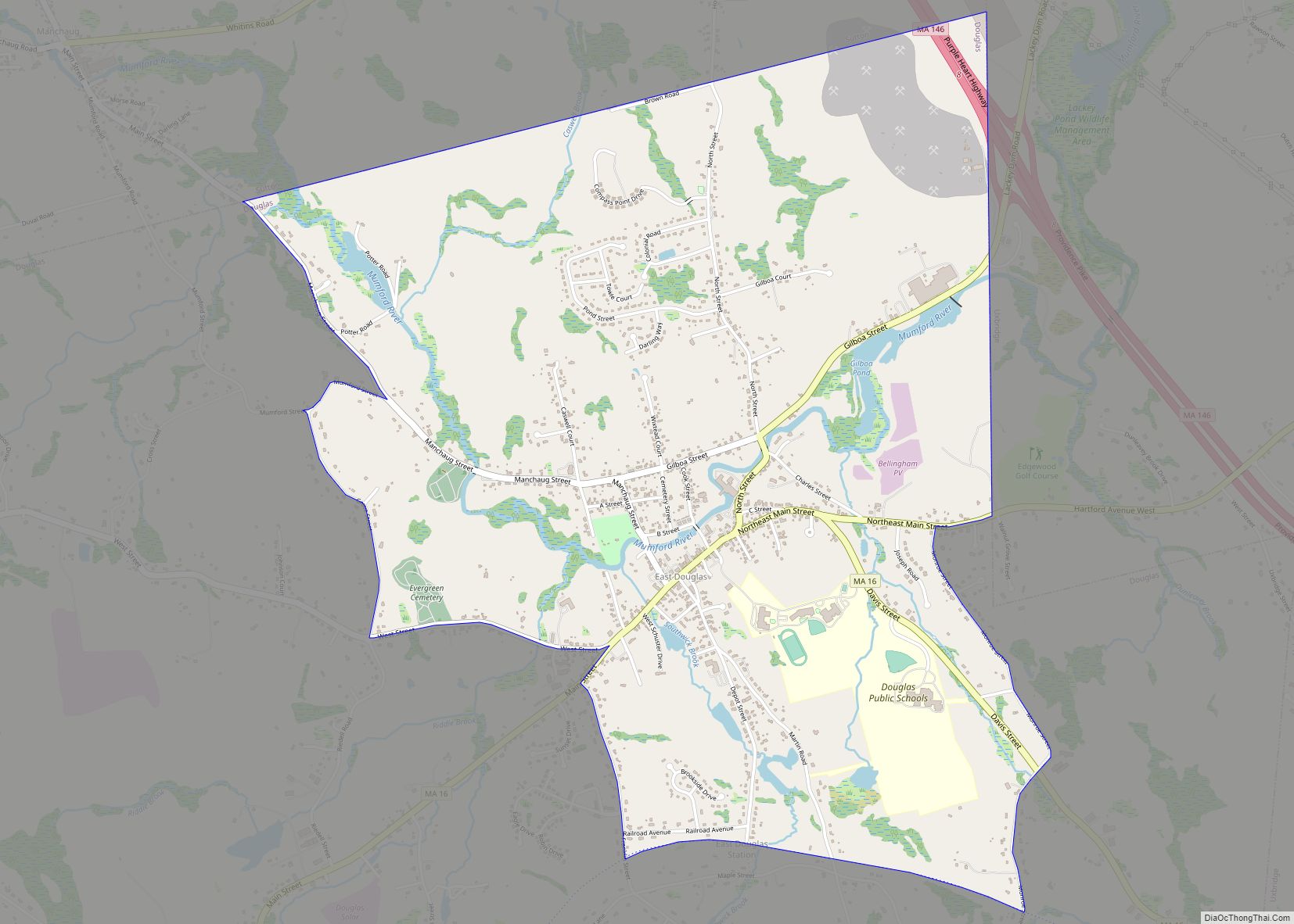
East Douglas is a census-designated place (CDP) in the town of Douglas in Worcester County, Massachusetts, United States. The population was 2,557 at the 2010 census. East Douglas CDP overview: Name: East Douglas CDP LSAD Code: 57 LSAD Description: CDP (suffix) State: Massachusetts County: Worcester County Elevation: 407 ft (124 m) Total Area: 3.53 sq mi (9.14 km²) Land Area: ... Read more
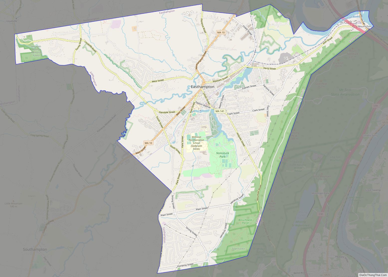
Easthampton Town city overview: Name: Easthampton Town city LSAD Code: 25 LSAD Description: city (suffix) State: Massachusetts County: Hampshire County FIPS code: 2519370 Online Interactive Map Easthampton Town online map. Source: Basemap layers from Google Map, Open Street Map (OSM), Arcgisonline, Wmflabs. Boundary Data from Database of Global Administrative Areas. Easthampton Town location map. Where ... Read more
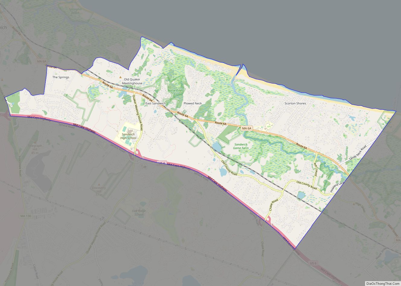
East Sandwich is a village and census-designated place (CDP) within the town of Sandwich in Barnstable County, Massachusetts, United States. The population was 3,940 at the 2010 census. East Sandwich CDP overview: Name: East Sandwich CDP LSAD Code: 57 LSAD Description: CDP (suffix) State: Massachusetts County: Barnstable County Elevation: 30 ft (9 m) Total Area: 7.64 sq mi (19.80 km²) ... Read more
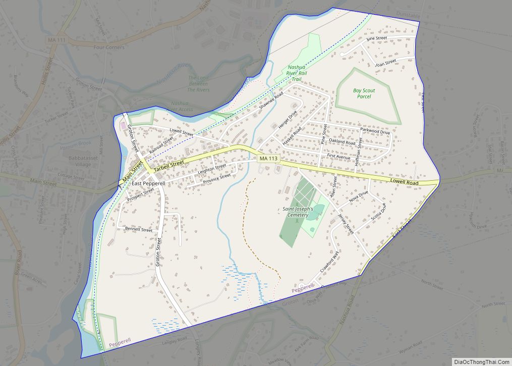
East Pepperell is a census-designated place (CDP) in the town of Pepperell in Middlesex County, Massachusetts, United States. The population was 2,059 at the 2010 census. East Pepperell CDP overview: Name: East Pepperell CDP LSAD Code: 57 LSAD Description: CDP (suffix) State: Massachusetts County: Middlesex County Elevation: 226 ft (69 m) Total Area: 1.45 sq mi (3.76 km²) Land Area: ... Read more
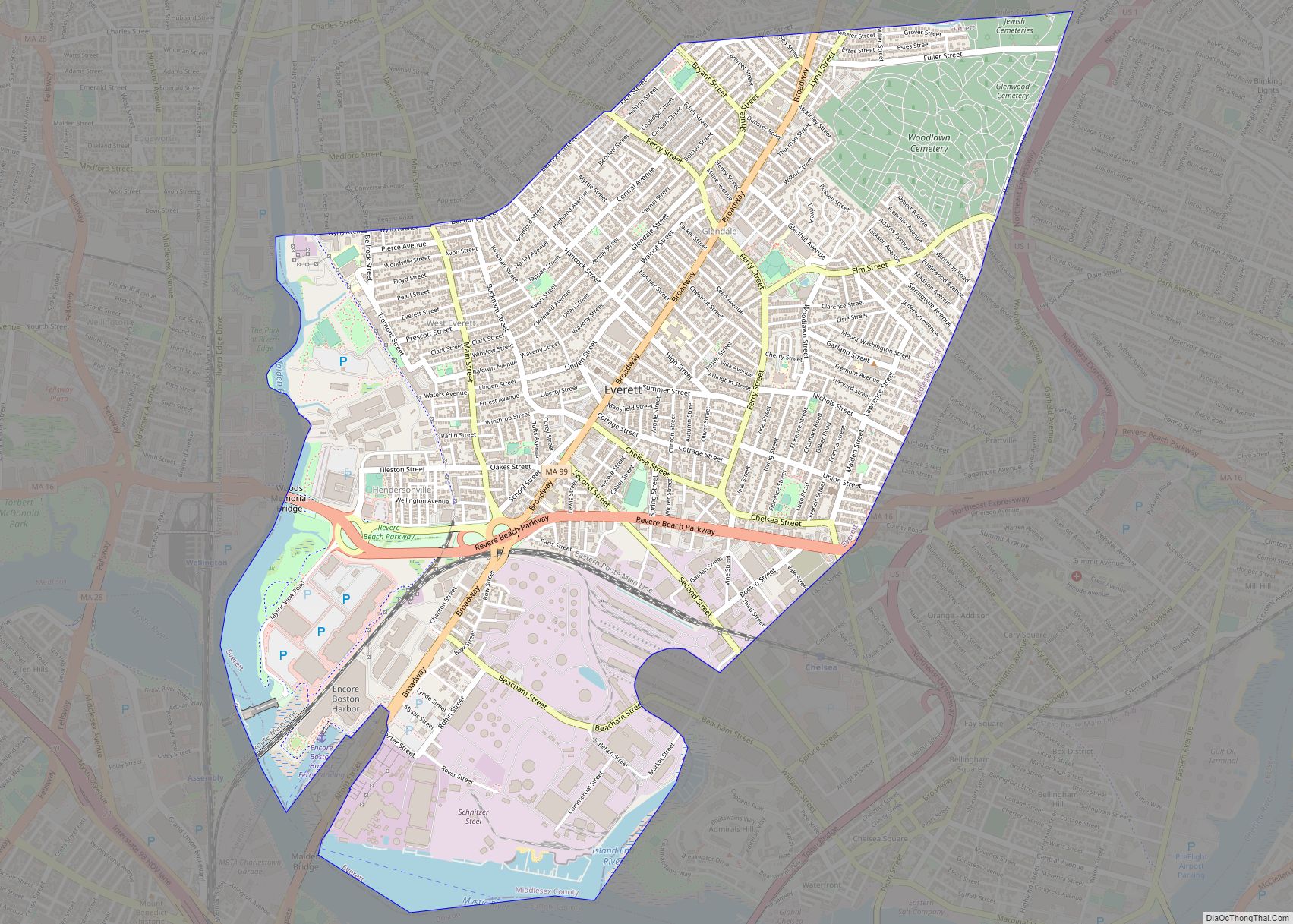
Everett is a city in Middlesex County, Massachusetts, United States, directly north of Boston, bordering the neighborhood of Charlestown. The population was 49,075 at the time of the 2020 United States Census. Everett was the last city in the United States to have a bicameral legislature, which was composed of a seven-member Board of Aldermen ... Read more
