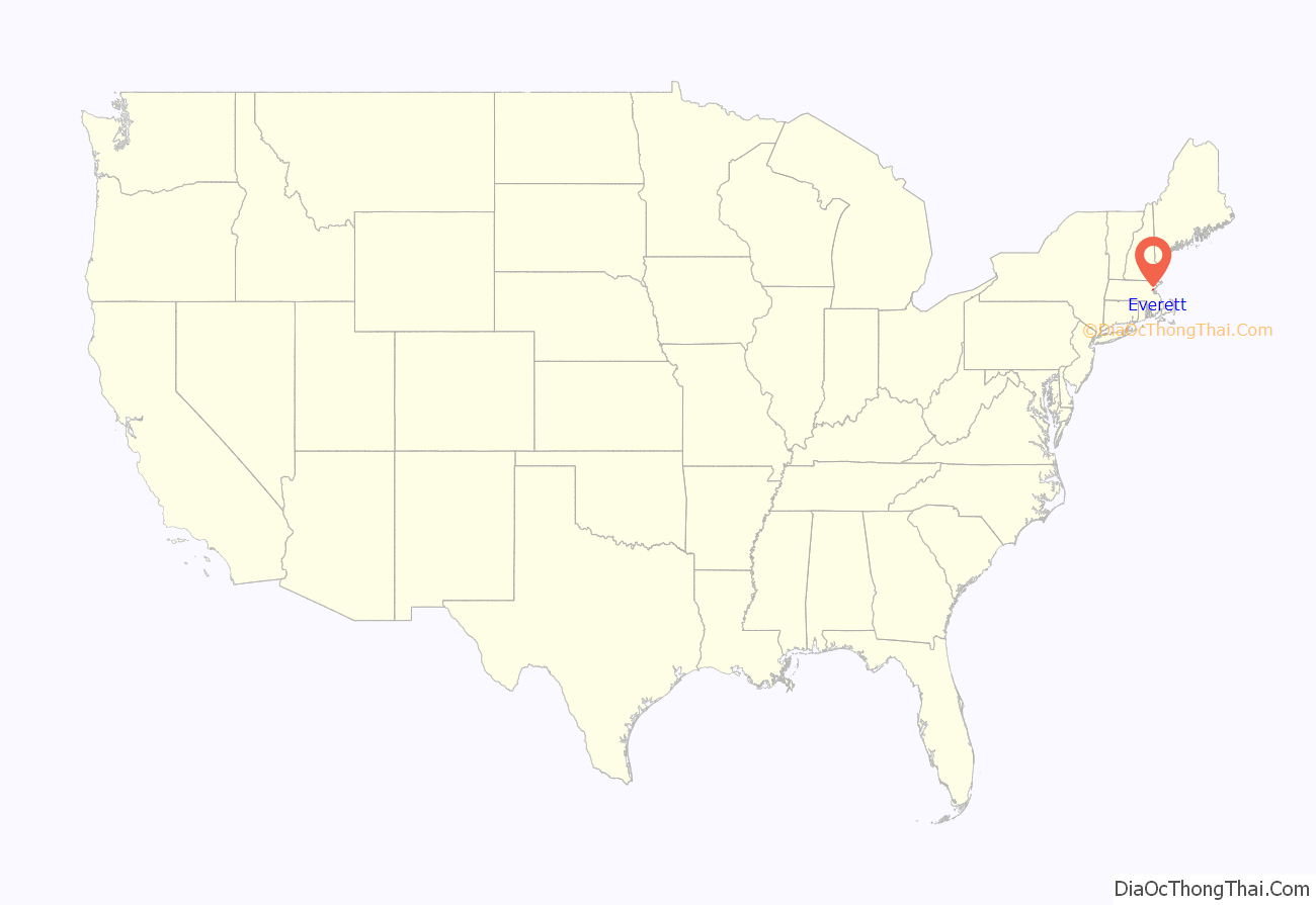
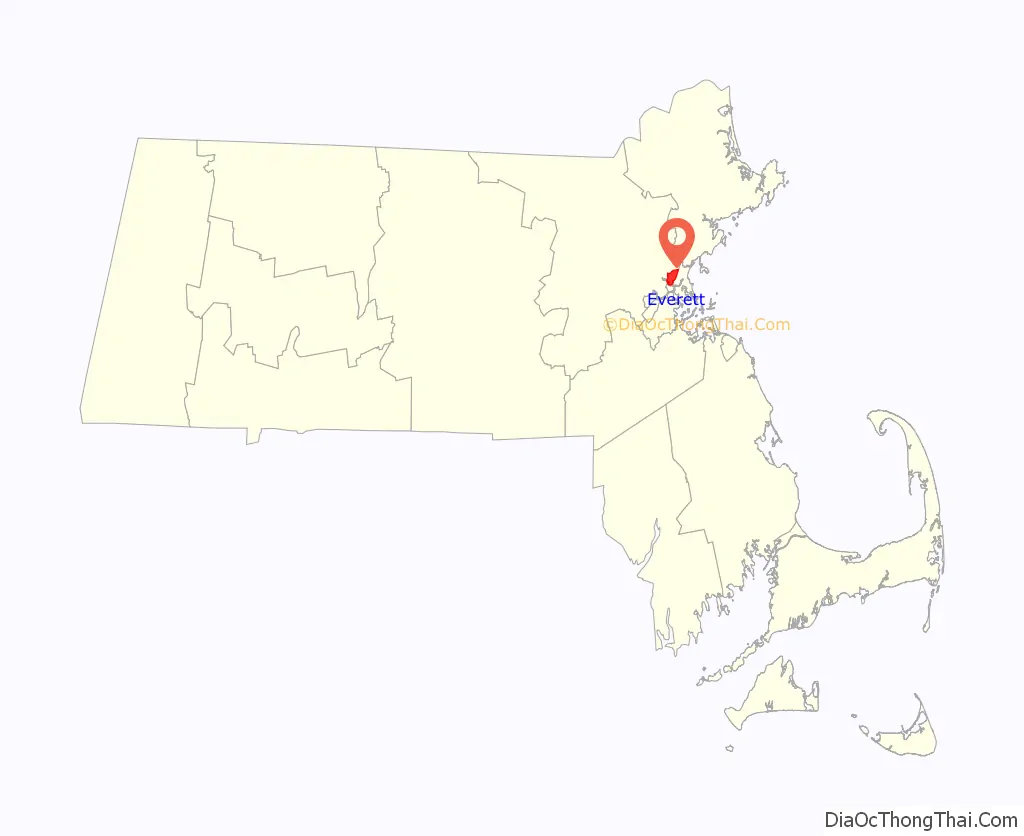
Everett is a city in Middlesex County, Massachusetts, United States, directly north of Boston, bordering the neighborhood of Charlestown. The population was 49,075 at the time of the 2020 United States Census.
Everett was the last city in the United States to have a bicameral legislature, which was composed of a seven-member Board of Aldermen and an eighteen-member Common Council. On November 8, 2011, the voters approved a new City Charter that changed the City Council to a unicameral body with eleven members – six ward councilors and five councilors-at-large. The new City Council was elected during the 2013 City Election.
| Name: | Everett city |
|---|---|
| LSAD Code: | 25 |
| LSAD Description: | city (suffix) |
| State: | Massachusetts |
| County: | Middlesex County |
| Incorporated: | 1870 |
| Elevation: | 10 ft (3 m) |
| Total Area: | 3.66 sq mi (9.48 km²) |
| Land Area: | 3.42 sq mi (8.85 km²) |
| Water Area: | 0.25 sq mi (0.64 km²) |
| Total Population: | 49,075 |
| Population Density: | 14,366.22/sq mi (5,546.12/km²) |
| ZIP code: | 02149 |
| Area code: | 617 / 857 |
| FIPS code: | 2521990 |
| GNISfeature ID: | 0612739 |
| Website: | cityofeverett.com |
Online Interactive Map
Click on ![]() to view map in "full screen" mode.
to view map in "full screen" mode.
Everett location map. Where is Everett city?
History
Everett was originally part of Charlestown, and later Malden. It separated from Malden in 1870.
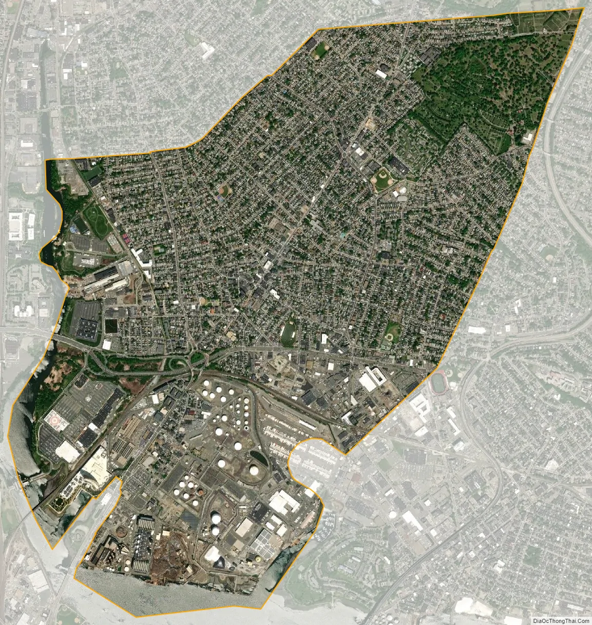
In 1892, Everett changed from a town to a city. On December 13, 1892, Alonzo H. Evans defeated George E. Smith to become Everett’s first Mayor. Landfill has expanded the Everett shoreline over the centuries. At some point between 1905 and 1912, it connected the mainland to what was formerly White Island in the Mystic River. The bridge of the Grand Junction Railroad was originally built using this island for part of the crossing.
The city was named after Edward Everett, who served as U.S. Representative, U.S. Senator, the 15th Governor of Massachusetts, Minister to Great Britain, and United States Secretary of State. He also served as President of Harvard University.
In 1971, Distrigas of Massachusetts began importing liquefied natural gas (LNG) at its Everett Marine Terminal in the Island End section of Everett. This terminal was the first of its kind in the country.
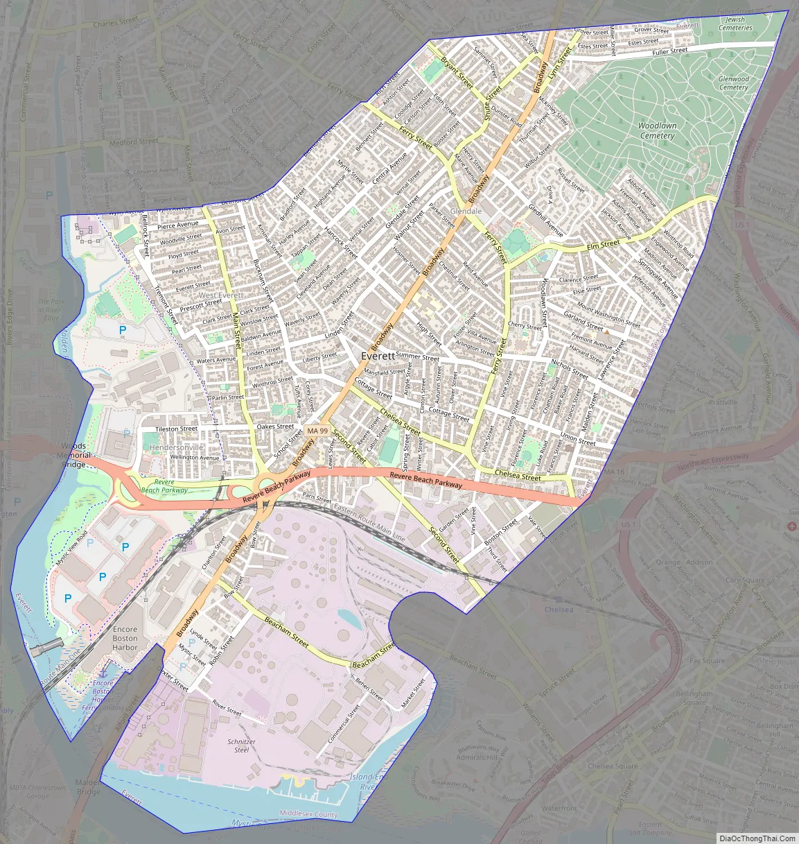
Everett’s business district is focused on Broadway, with many businesses and restaurants along the route. Bus routes that run through Everett are 97, 99, 104, 105, 106, 109, 110, 111, and 112. Everett Square is a small bus-hub, with bus routes 104, 109, 110, 112 and 97, all served by MBTA. A bus lane exists on Broadway (MA-99), from Glendale Square (Ferry Street), to Sweetser Circle. The Everett City Hall, Everett Fire Department, Parlin Memorial Library, and a few health centers, businesses and restaurants are centered around Everett Square on Broadway, Norwood St and Chelsea St. Everett Stadium is also near the Square. Route 16 is just south of the Square, allowing quick access to a major highway. Besides Everett Square, Gateway Center just off Route 16 in Everett is a major retail shopping district, with big box stores like Target, The Home Depot, and Costco. While there are no subways stops, the nearest subway station is Wellington Station on the MBTA Orange Line subway system, which is located in the Revere Beach Parkway in nearby Medford. The MBTA Commuter Rail stop in Chelsea, and SL3 stop, is also located 250 feet out of the city’s southern limits.
US-1, which provides highway access to Revere and north, and Boston and I-93, runs just east of the city, bordering the Woodlawn cemetery.
On June 23, 2019, the Encore Boston Harbor casino (formerly called the Wynn Casino and Resort of Boston) opened on a 33-acre parcel of land along Broadway and the Mystic River in Everett, which had been previously used for industrial purposes. After a remediation process to clean the site, Wynn Resorts constructed Encore Boston as an integrated resort with a hotel, a harborwalk, restaurants, a casino, spa, retail outlets, and meeting and convention space. Public amenities along the year-round harborwalk include a picnic park, paths for bikers and pedestrians, viewing decks, waterfront dining and retail, a performance lawn, floral displays, and boat docks. Wynn Resorts described the $2.6 billion development as “the largest private single-phase construction project in the history of the Commonwealth of Massachusetts.”
Everett has an increasing population as people are seeking new households near downtown Boston while not wanting to pay the higher prices of living now associated with surrounding municipalities, such as those in neighborhoods of Boston, Cambridge, or Somerville.
Everett Road Map
Everett city Satellite Map
Geography
Everett is bordered by Malden on the north, Revere on the east, Chelsea on the southeast, Somerville and Medford on the west, and Boston and the Mystic River on the south at Charlestown. Everett is a major part of the Port of Boston.
Some of Everett’s neighborhoods are Glendale, Woodlawn, the Village, and the Line. Glendale Park is the city’s largest park.
According to the United States Census Bureau, the city has a total area of 3.7 square miles (9.6 km), of which 3.4 square miles (8.8 km) is land and 0.3 square miles (0.78 km) (7.63%) is water.
See also
Map of Massachusetts State and its subdivision: Map of other states:- Alabama
- Alaska
- Arizona
- Arkansas
- California
- Colorado
- Connecticut
- Delaware
- District of Columbia
- Florida
- Georgia
- Hawaii
- Idaho
- Illinois
- Indiana
- Iowa
- Kansas
- Kentucky
- Louisiana
- Maine
- Maryland
- Massachusetts
- Michigan
- Minnesota
- Mississippi
- Missouri
- Montana
- Nebraska
- Nevada
- New Hampshire
- New Jersey
- New Mexico
- New York
- North Carolina
- North Dakota
- Ohio
- Oklahoma
- Oregon
- Pennsylvania
- Rhode Island
- South Carolina
- South Dakota
- Tennessee
- Texas
- Utah
- Vermont
- Virginia
- Washington
- West Virginia
- Wisconsin
- Wyoming


