Map of Westwood CDP, Michigan

Map of Westwood CDP, Michigan

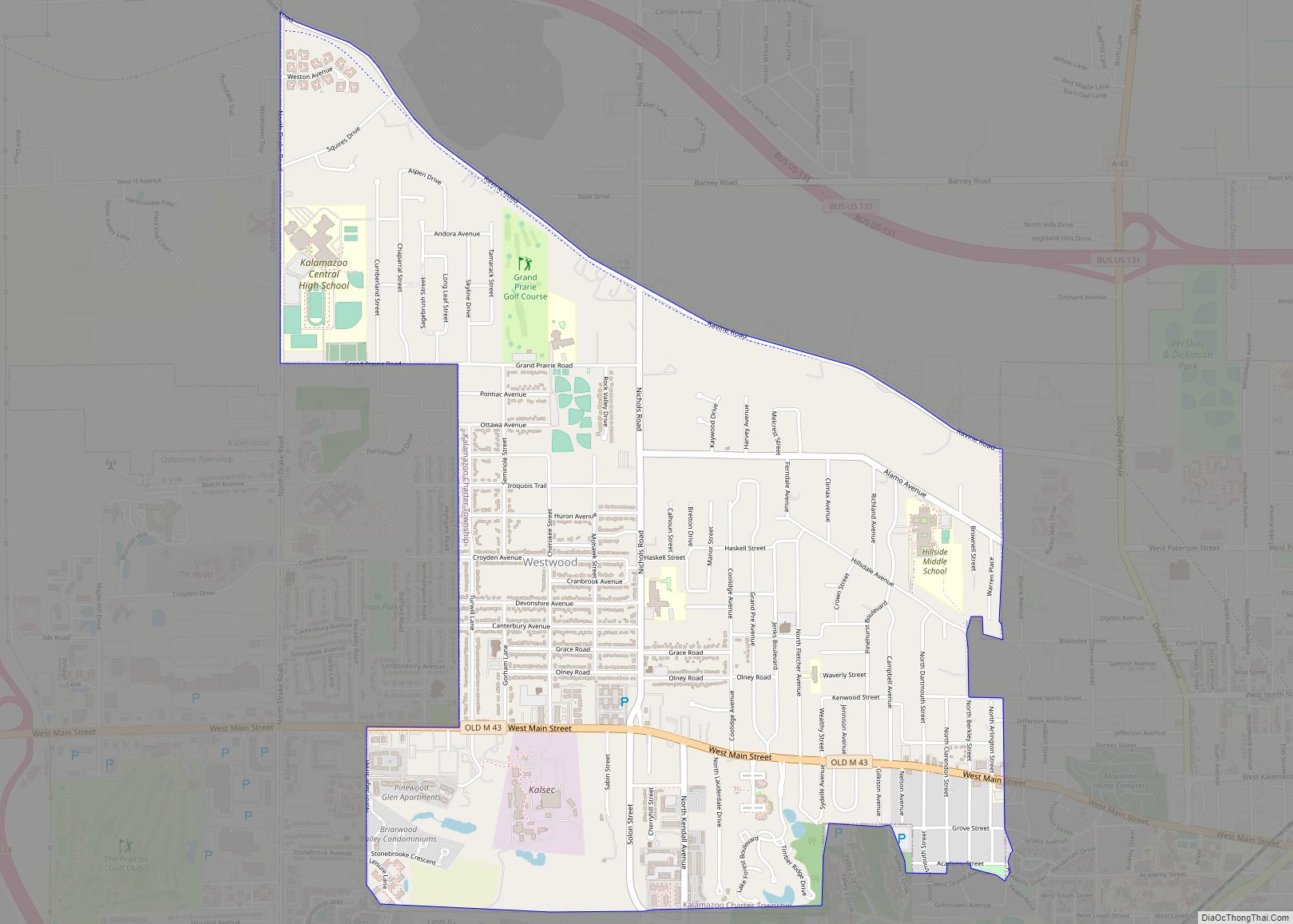
Westwood is an unincorporated community in Kalamazoo Charter Township, Kalamazoo County in the U.S. state of Michigan. It is a census-designated place (CDP) for statistical purposes and does not have any legal status as an incorporated municipality. The population was 8,653 at the 2010 census, down from 9,122 at the 2000 census. Westwood CDP overview: … Read more

Map of Wolf Lake CDP

Map of Wolf Lake CDP, Michigan

Wolf Lake is an unincorporated community home of Oakridge high school in Egelston Township of Muskegon County in the U.S. state of Michigan. It is a census-designated place (CDP) for statistical purposes, but has no official status as an incorporated municipality. The population was 4,455 at the 2000 census. The area included in the CDP … Read more

Map of Wixom city

Map of Wixom city

Wixom (/wɪksəm/ WICK-səm) is a city in Oakland County in the U.S. state of Michigan. The population of Wixom was 17,193 at the 2020 census. As a western suburb of Metro Detroit, Wixom is about 20 miles (32.2 km) northwest of the city of Detroit. The city was home to the now-demolished Wixom Assembly Plant, which … Read more

Map of Williamston city

Map of Williamston city, Michigan

Williamston is a city in Ingham County in the U.S. state of Michigan. The population was 3,854 at the 2010 census. Williamston is located east of the city of Lansing and borders Williamstown Township to the north and Wheatfield Township to the south. The Red Cedar River and M-43 run through the center of the … Read more

Map of Whittemore city, Michigan

Map of Whittemore city, Michigan

Whittemore is a city in Iosco County in the U.S. state of Michigan. The population was 414 at the 2020 census, which ranks it as the fourth-least populated city in the state after Omer, Lake Angelus, and Gaastra. Whittemore city overview: Name: Whittemore city LSAD Code: 25 LSAD Description: city (suffix) State: Michigan County: Iosco … Read more

Map of Whitmore Lake CDP

Map of Whitmore Lake CDP

Whitmore Lake is a census-designated place (CDP) and unincorporated community in the U.S. state of Michigan. The community spans the boundary between Green Oak Township in Livingston County and Northfield Township in Washtenaw County. The population of the CDP was 7,584 at the 2020 census. The community is located about 9 miles (14 km) north of … Read more

Map of Woodland Beach CDP

Map of Woodland Beach CDP

Woodland Beach is a census-designated place (CDP) and unincorporated community in Monroe County in the U.S. state of Michigan. The population was 1,899 at the 2020 census. The CDP is located within Frenchtown Charter Township. Woodland Beach and its surrounding communities are served by Jefferson Schools. Woodland Beach CDP overview: Name: Woodland Beach CDP LSAD … Read more

Map of Woodhaven city

Map of Woodhaven city

Woodhaven is a city in Wayne County, Michigan, United States. As of the 2010 census, the city had a population of 12,875. It is part of a collection of communities known as Downriver. Woodhaven city overview: Name: Woodhaven city LSAD Code: 25 LSAD Description: city (suffix) State: Michigan County: Wayne County Incorporated: 1965 Elevation: 604 ft … Read more

Map of Wolverine village

Map of Wolverine village

Wolverine is a village in Cheboygan County in the U.S. state of Michigan. The population was 244 at the 2010 census. The village is mostly located within Nunda Township with a small portion extending west into Wilmot Township. It is located directly west of Interstate 75 about 40 miles (64.4 km) south of the Mackinac Bridge. … Read more

Map of Wolverine Lake village

Map of Wolverine Lake village

Wolverine Lake is a village in Oakland County in the U.S. state of Michigan. The population was 4,312 at the 2010 census. The village is located within Commerce Township. Wolverine Lake village overview: Name: Wolverine Lake village LSAD Code: 47 LSAD Description: village (suffix) State: Michigan County: Oakland County Incorporated: 1954 Elevation: 932 ft (284 m) Land … Read more

Map of Woodland village, Michigan

Map of Woodland village, Michigan

Woodland is a village in Barry County of the U.S. state of Michigan. The population was 425 at the 2010 census. The village is located within Woodland Township. Woodland village overview: Name: Woodland village LSAD Code: 47 LSAD Description: village (suffix) State: Michigan County: Barry County Elevation: 869 ft (265 m) Total Area: 0.85 sq mi (2.20 km²) Land Area: … Read more

Map of Zeba CDP

Map of Zeba CDP

Zeba (Ojibwe: Ziibiins) is a census-designated place in L’Anse Township of Baraga County in the U.S. state of Michigan. It is located on the southern shore of Keweenaw Bay at 46°48′09″N 88°24′52″W / 46.80250°N 88.41444°W / 46.80250; -88.41444Coordinates: 46°48′09″N 88°24′52″W / 46.80250°N 88.41444°W / 46.80250; -88.41444, about halfway between L’Anse and Pequaming. The community was … Read more