Detroit (/dəˈtrɔɪt/ də-TROYT, locally also /ˈdiːtrɔɪt/ DEE-troyt) is the largest city in the U.S. state of Michigan. It is also the largest U.S. city on the United States–Canada border, and the seat of government of Wayne County. The City of Detroit had a population of 639,111 at the 2020 census, making it the 27th-most populous ... Read more
Michigan Cities and Places
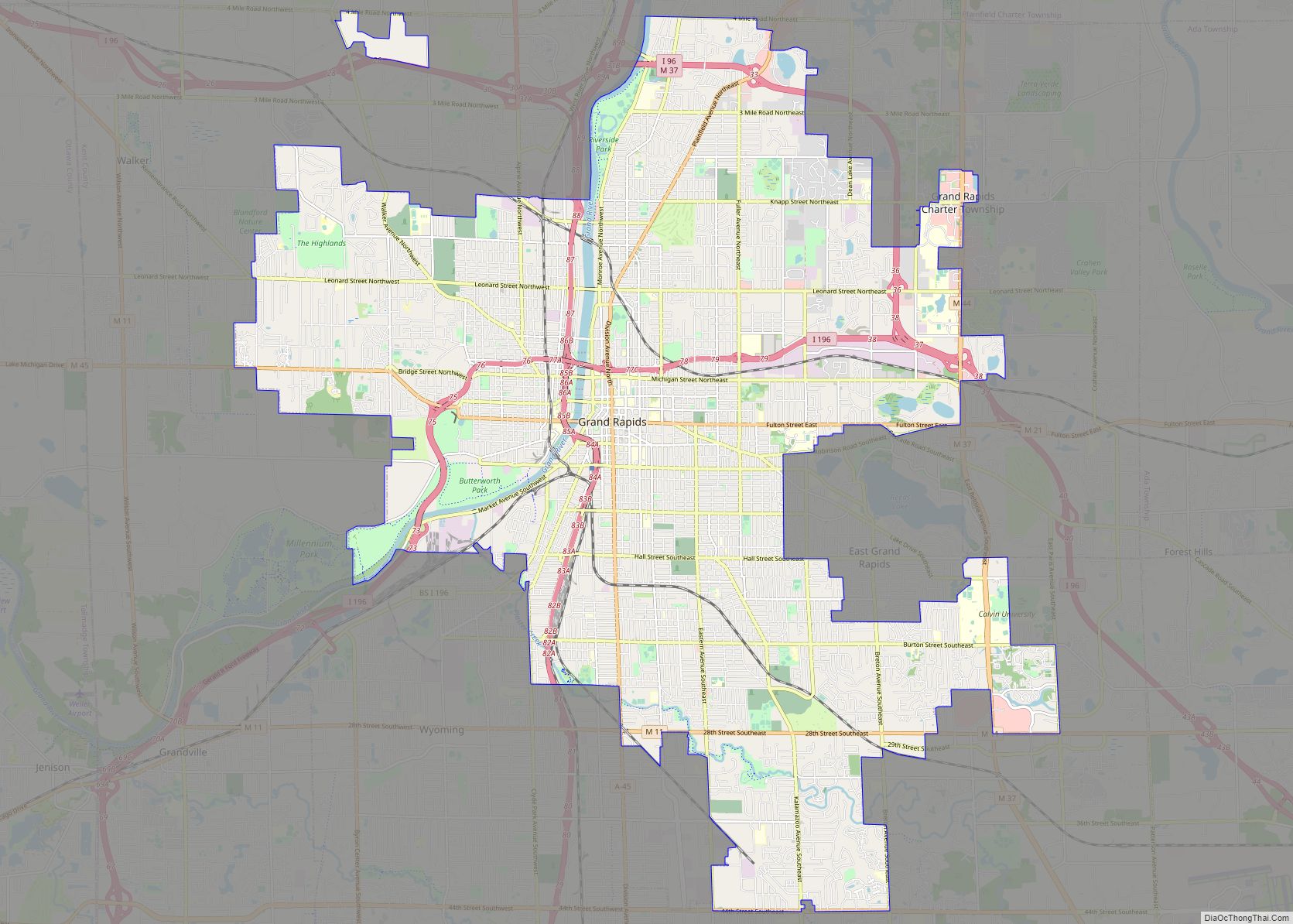
Grand Rapids is a city and county seat of Kent County in the U.S. state of Michigan. At the 2020 census, the city had a population of 198,917 which ranks it as the second most-populated city in the state after Detroit. Grand Rapids is the central city of the Grand Rapids metropolitan area, which has ... Read more
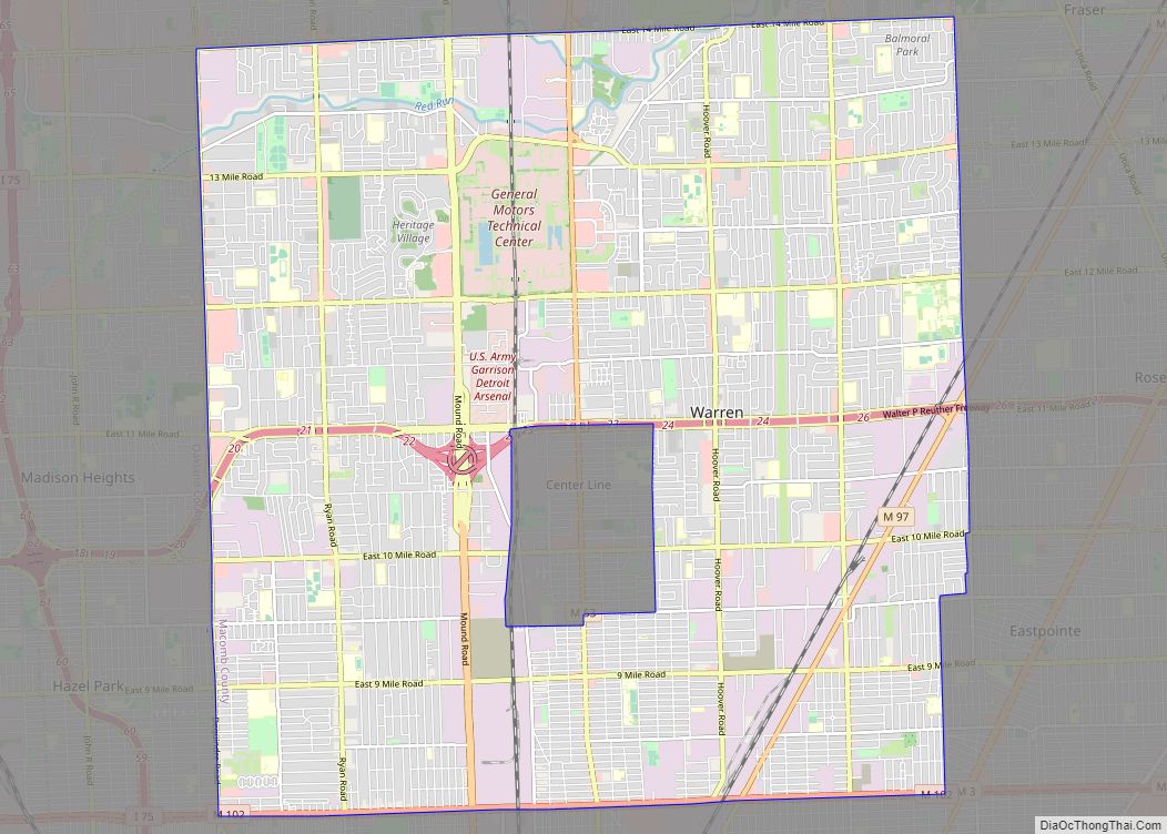
Warren is a city in Macomb County in the U.S. state of Michigan. The 2020 Census places the city’s population at 139,387, making Warren the largest city in Macomb County, the third largest city in Michigan, and one of Metro Detroit’s core cities. The city is home to a wide variety of businesses, including General ... Read more
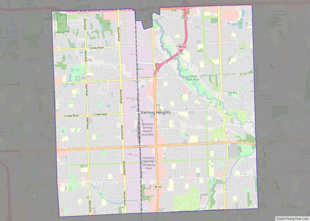
Sterling Heights is a city in Macomb County of the U.S. state of Michigan, and one of Detroit’s core suburbs. As of the 2020 Census, the city had a total population of 134,346. It is the second largest suburb in Metro Detroit, and the fourth largest city in Michigan. Sterling Heights city overview: Name: Sterling ... Read more
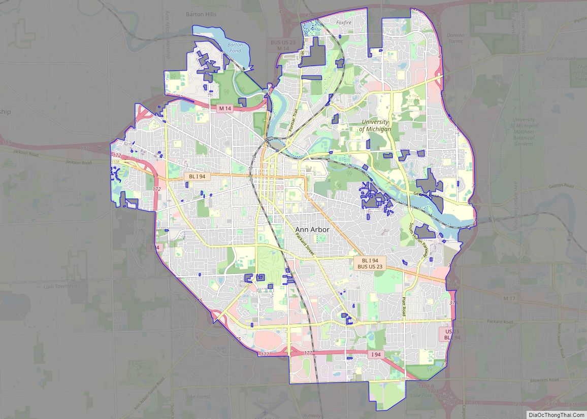
Ann Arbor is a city in the U.S. state of Michigan and the seat of government of Washtenaw County. The 2020 census recorded its population to be 123,851, making it the fifth-largest city in Michigan. It is the principal city of the Ann Arbor Metropolitan Statistical Area, which encompasses all of Washtenaw County. Ann Arbor ... Read more
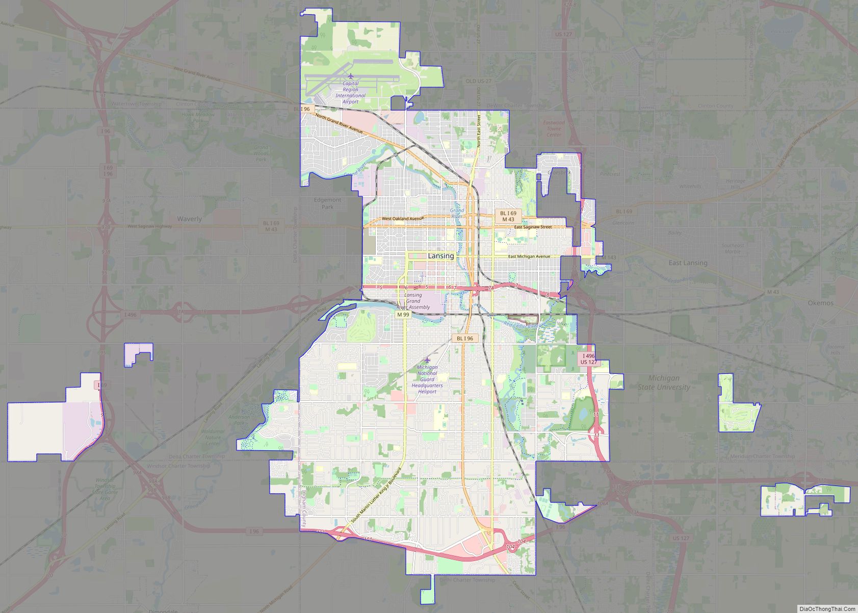
Lansing (/ˈlænsɪŋ/) is the capital of the U.S. state of Michigan. It is mostly in Ingham County, although portions of the city extend west into Eaton County and north into Clinton County. The 2020 census placed the city’s population at 112,644, making it the sixth largest city in Michigan. The population of its metropolitan statistical ... Read more
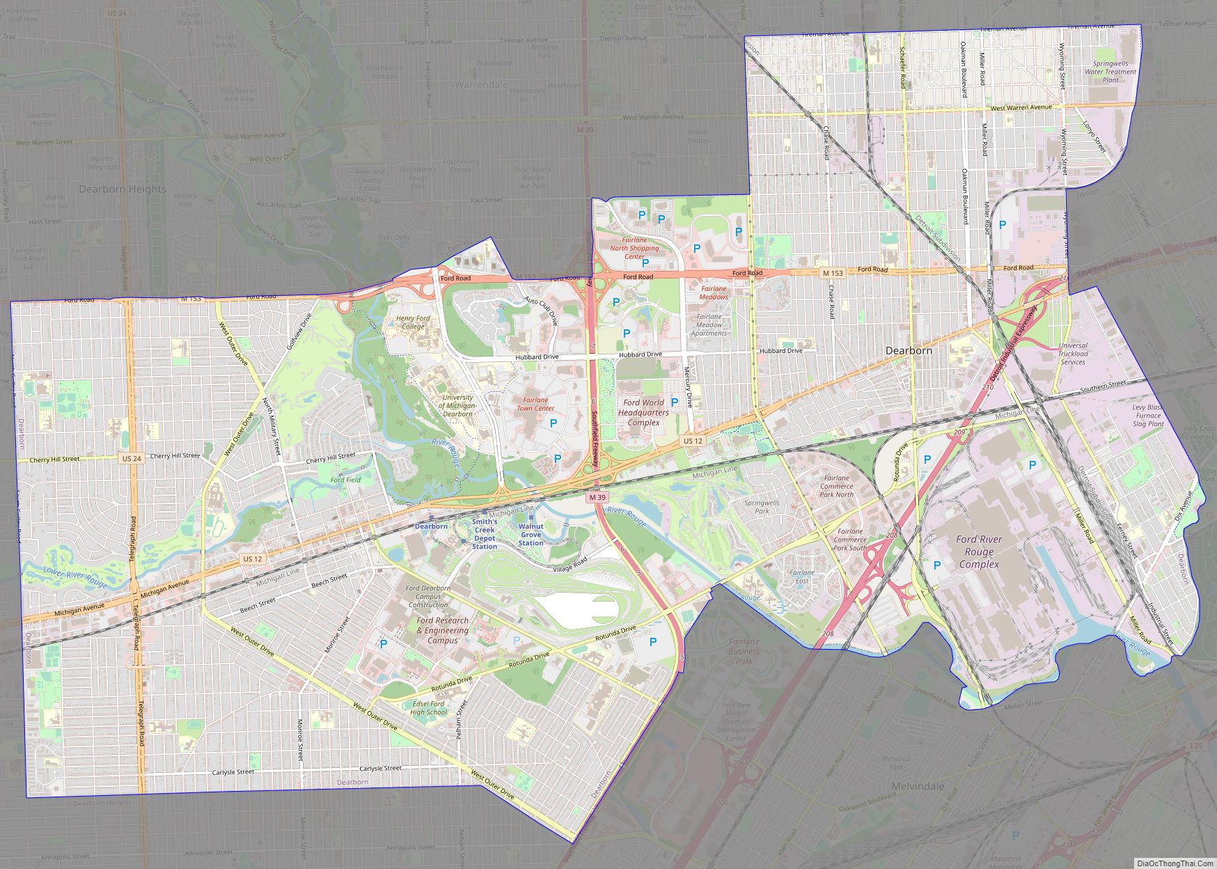
Dearborn is a city in Wayne County in the U.S. state of Michigan. At the 2020 census, it had a population of 109,976. Dearborn is the seventh-largest city in Michigan and is home to the largest Muslim population in the United States per capita. It also is home to the largest mosque in the United ... Read more
Addison is a village in Lenawee County of the U.S. state of Michigan. The population was 573 at the 2020 census. The village is located on the boundary between Rollin Township on the south and Woodstock Township on the north. Addison village overview: Name: Addison village LSAD Code: 47 LSAD Description: village (suffix) State: Michigan ... Read more
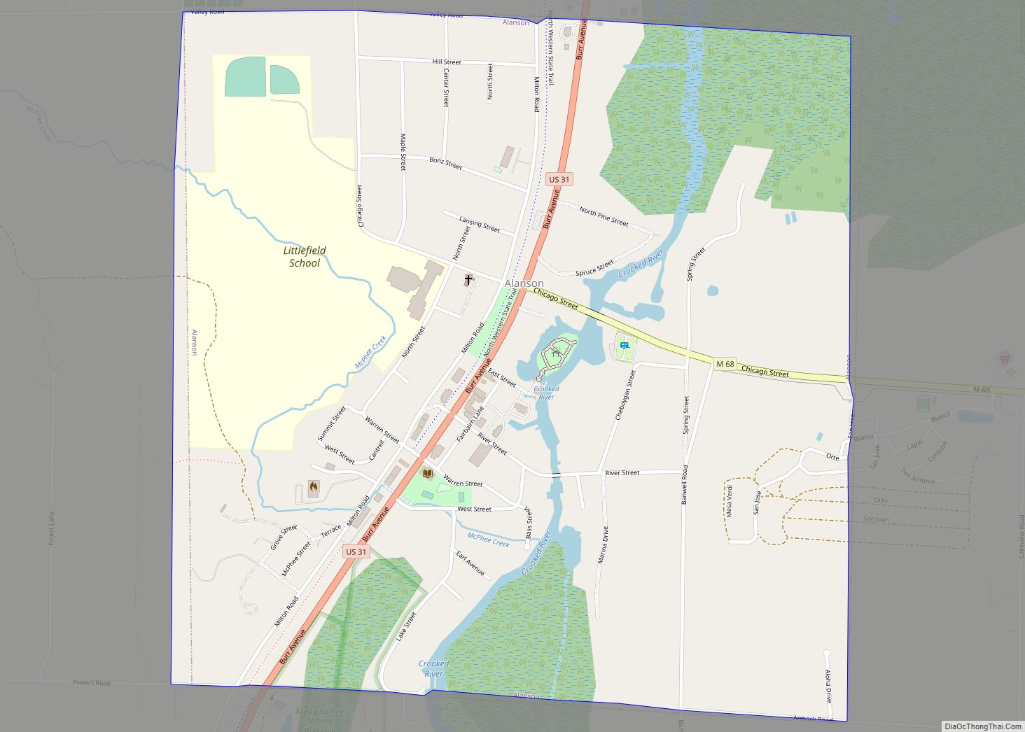
Alanson (/əˈlæn.sən/ ə-LAN-sən) is a village in Emmet County in the U.S. state of Michigan. The population was 778 at the 2020 census. Alanson is in Littlefield Township on U.S. Highway 31 at the junction with M-68. Petoskey is about 12 miles (19 km) southwest on US 31 and Mackinaw City and the Mackinac Bridge are ... Read more
Akron is a village in Tuscola County of the U.S. state of Michigan. The population was 349 at the 2020 census. The village is located on the boundary between Akron Township on the north and Fairgrove Township on the south, with the village area approximately evenly split between the two. The Akron post office, with ... Read more
Ahmeek is a village in Keweenaw County in the U.S. state of Michigan. The village is located within Allouez Township. The population was 127 at the 2020 census. At 0.07 square miles (0.18 km), it is the smallest municipality by land area in the state and is the only incorporated municipality in Keweenaw County. Ahmeek village ... Read more
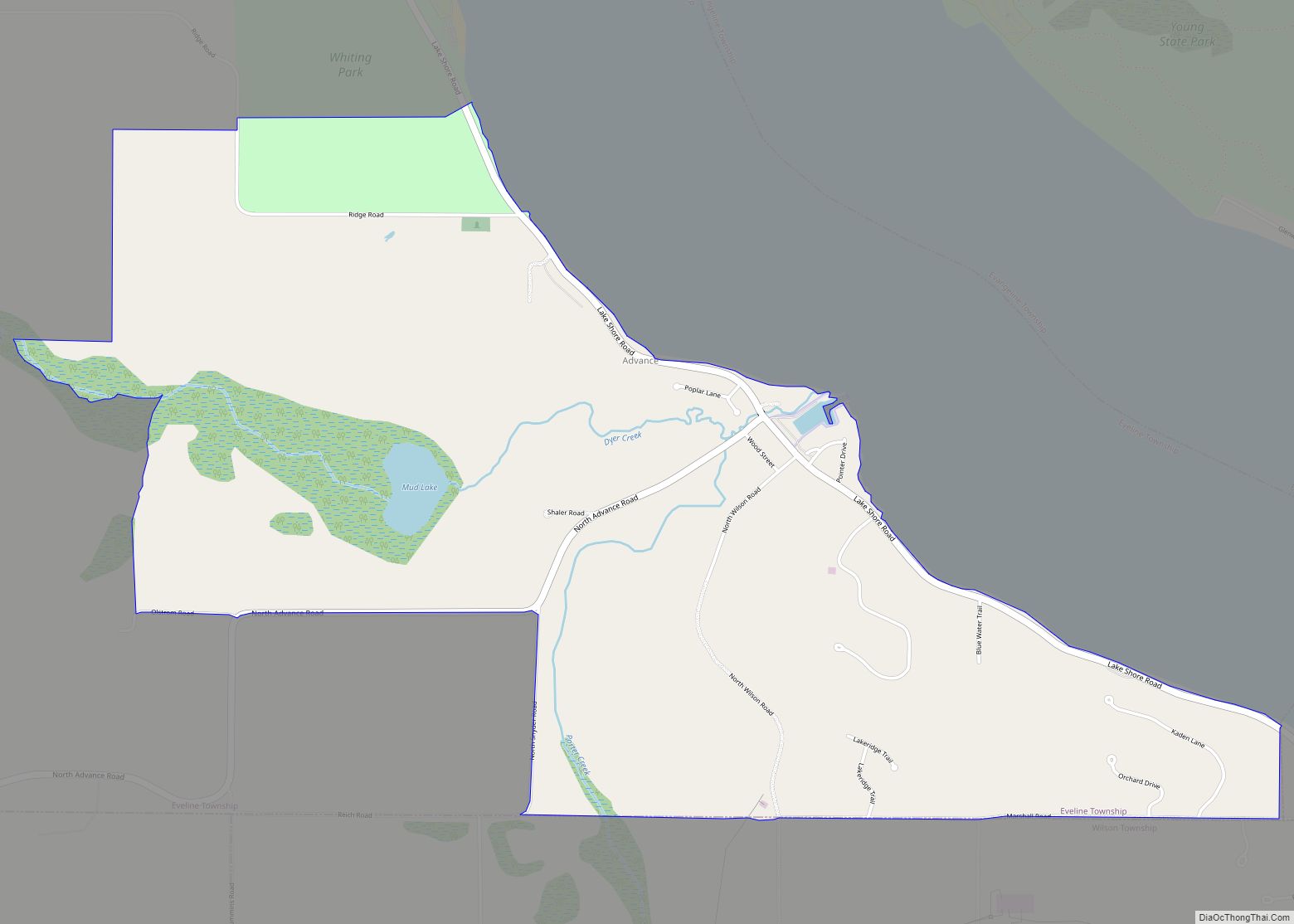
Advance is an unincorporated community and census-designated place (CDP) in Charlevoix County in the U.S. state of Michigan. The population of the CDP was 340 at the 2020 census. The community is located along Lake Charlevoix within Eveline Township. Advance CDP overview: Name: Advance CDP LSAD Code: 57 LSAD Description: CDP (suffix) State: Michigan County: ... Read more

