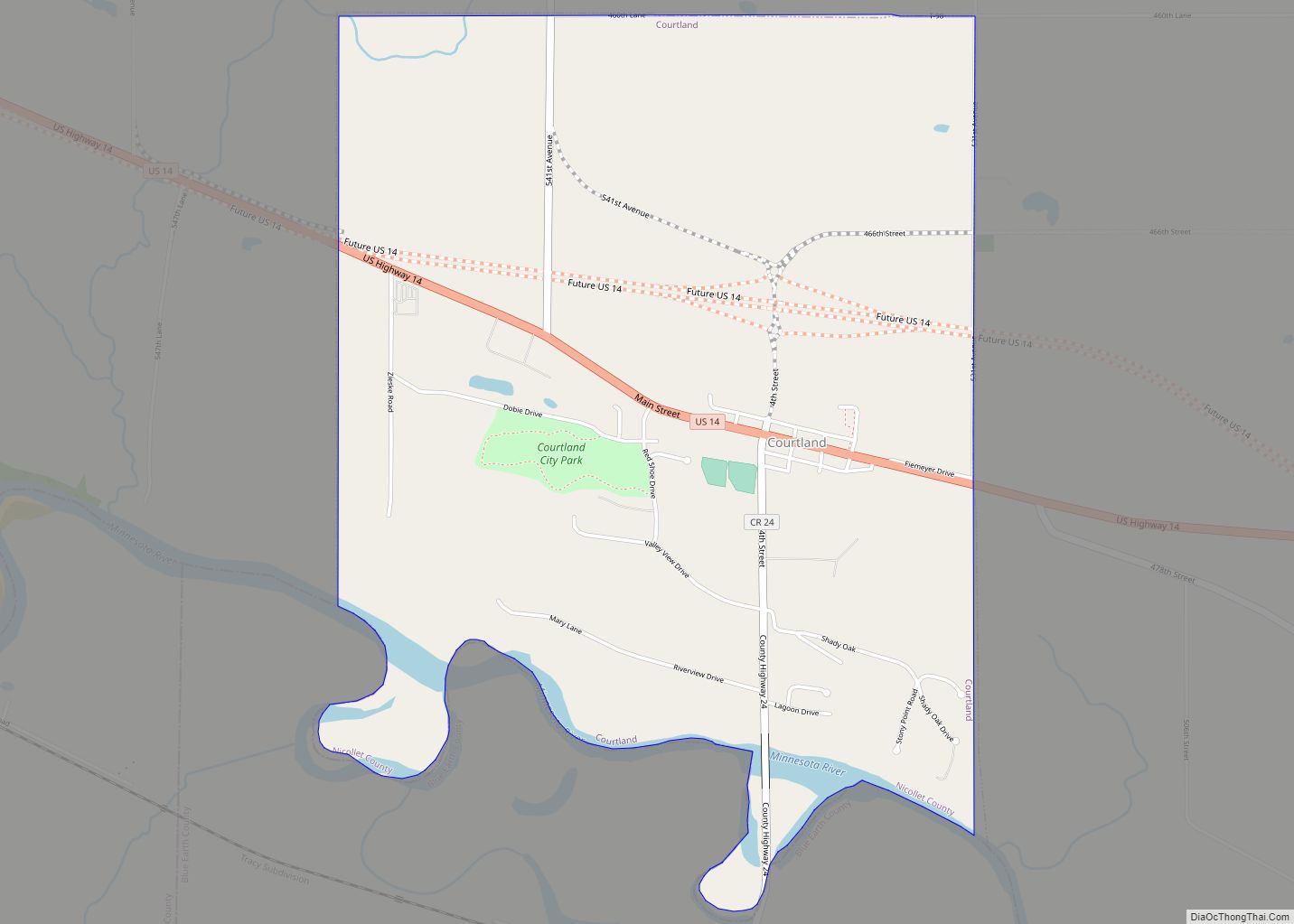
Courtland is a city in Nicollet County, Minnesota, United States. The population was 734 at the 2020 census. It is part of the Mankato–North Mankato Metropolitan Statistical Area. Courtland city overview: Name: Courtland city LSAD Code: 25 LSAD Description: city (suffix) State: Minnesota County: Nicollet County Elevation: 935 ft (285 m) Total Area: 2.62 sq mi (6.78 km²) Land Area: ... Read more
Minnesota Cities and Places
Cottonwood is a city in Lyon County, Minnesota, United States. The population was 1,212 at the 2010 census. Cottonwood city overview: Name: Cottonwood city LSAD Code: 25 LSAD Description: city (suffix) State: Minnesota County: Lyon County Elevation: 1,079 ft (329 m) Total Area: 1.00 sq mi (2.58 km²) Land Area: 1.00 sq mi (2.58 km²) Water Area: 0.00 sq mi (0.00 km²) Total Population: 1,149 Population ... Read more
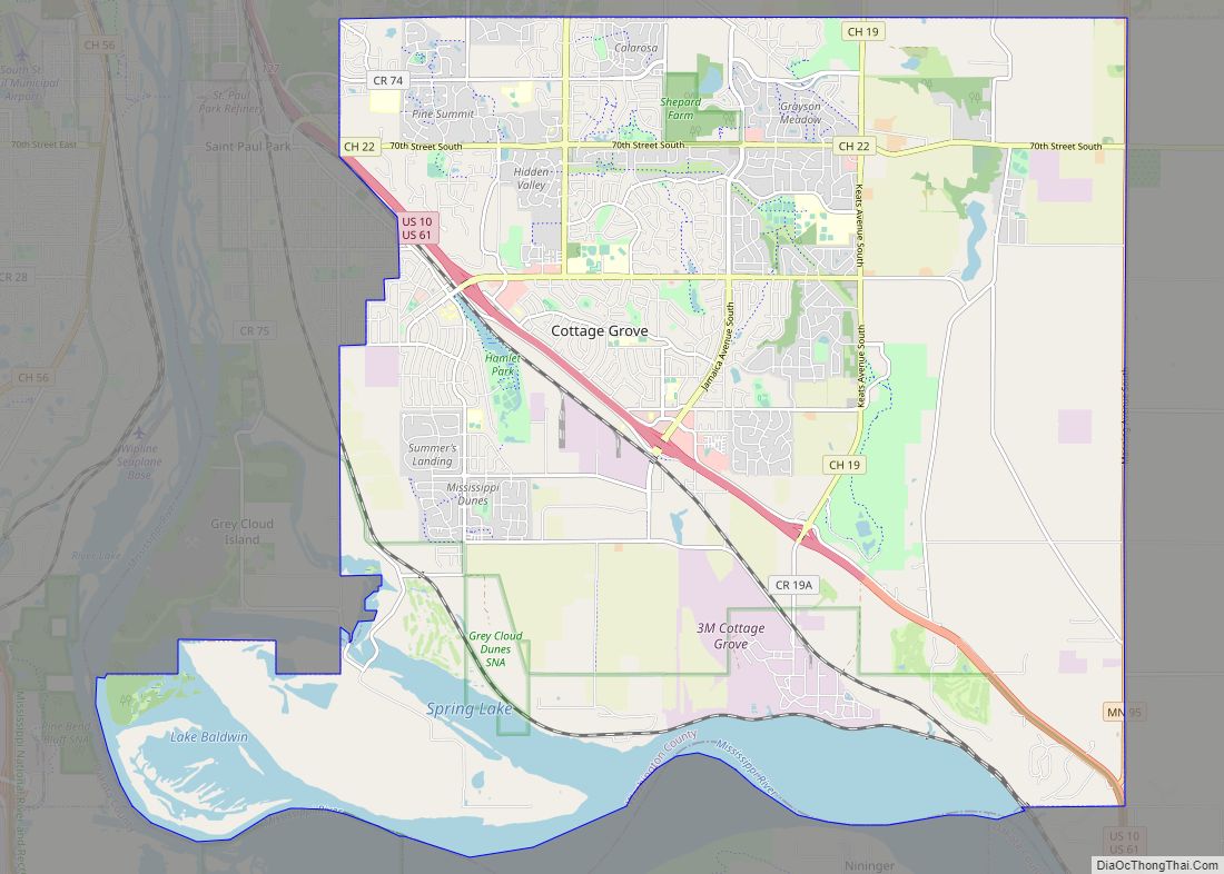
Cottage Grove is a city 10 miles (16 km) south of Saint Paul in Washington County in the State of Minnesota. It lies on the north bank of the Mississippi River, north of the confluence with the St. Croix River. Cottage Grove and nearby suburbs form the southeast portion of Minneapolis-Saint Paul, the 16th-largest metropolitan area ... Read more
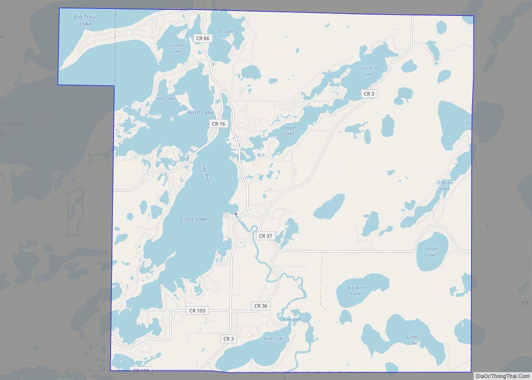
Crosslake is a city in Crow Wing County, Minnesota, United States. The population was 2,141 at the 2010 census. It is part of the Brainerd Micropolitan Statistical Area. Crosslake city overview: Name: Crosslake city LSAD Code: 25 LSAD Description: city (suffix) State: Minnesota County: Crow Wing County Elevation: 1,240 ft (380 m) Total Area: 36.90 sq mi (95.58 km²) Land ... Read more
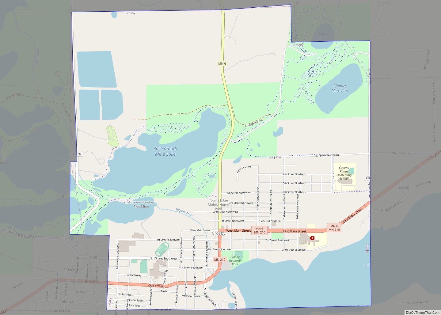
Crosby is a city in Crow Wing County, Minnesota, United States. The population was 2,386 at the 2010 census. It is part of the Brainerd Micropolitan Statistical Area. Crosby is adjacent to its twin city of Ironton, in the Cuyuna iron range. Crosby city overview: Name: Crosby city LSAD Code: 25 LSAD Description: city (suffix) ... Read more
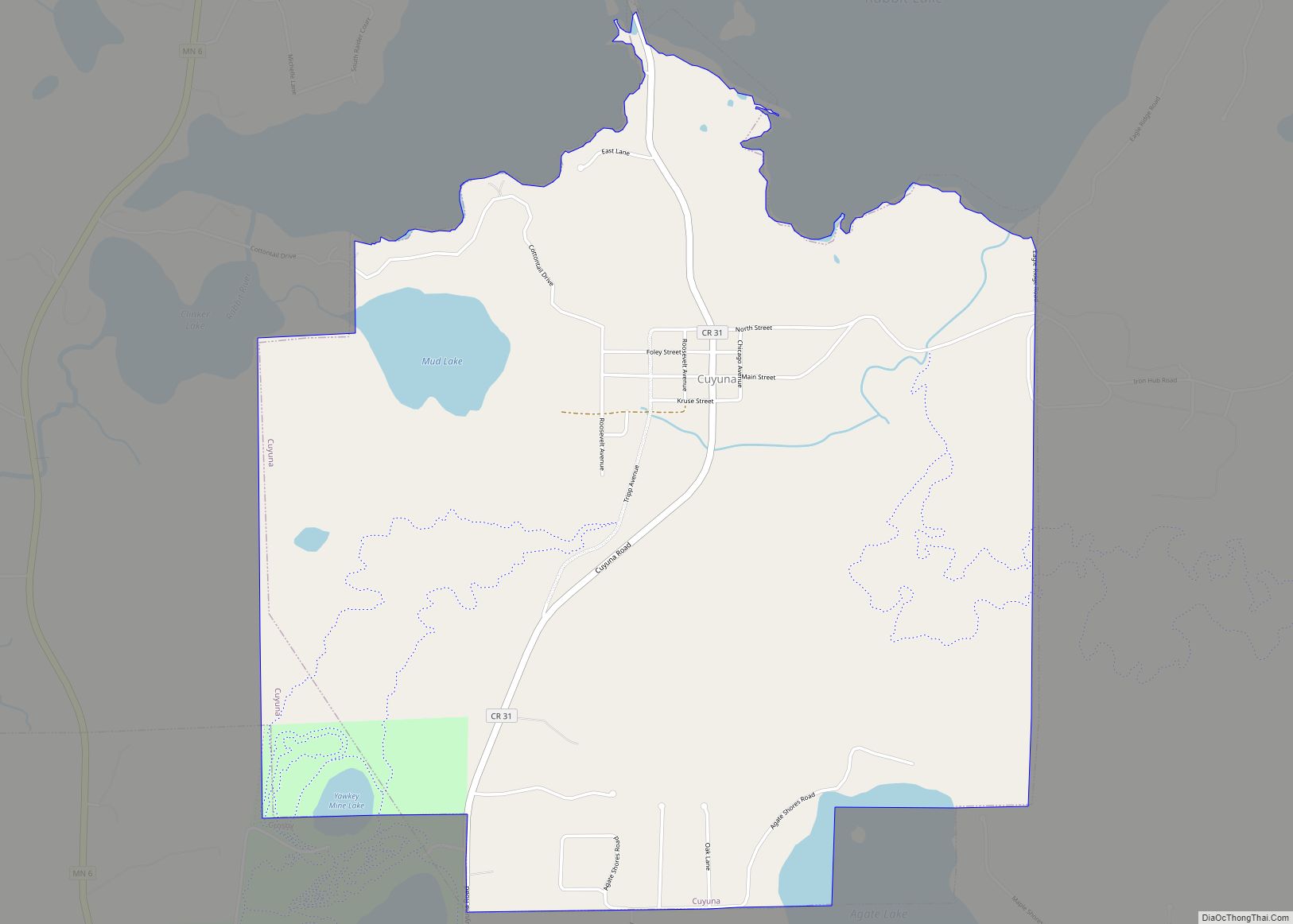
Cuyuna (/kaɪˈjuːnə/ kye-YOO-nə) is a city in Crow Wing County, Minnesota, United States. The population was 332 at the 2010 census. It is part of the Brainerd Micropolitan Statistical Area. The city lies within its namesake, the Cuyuna Range, a line of iron-bearing hills in central Minnesota. Cuyuna was one of the mining towns along ... Read more
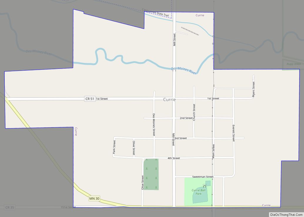
Currie is a city in Murray County, Minnesota, United States. The population was 233 at the 2010 census. Lake Shetek State Park is nearby. The city is known as the “Gateway to Lake Shetek”. Currie is notable for its tourism, cuisine, and recreational opportunities. It is home to Lakeside Hideaway and the End-O-Line Railroad Park ... Read more
Crystal is a first-ring suburban city in Hennepin County, Minnesota, United States that is about 5 miles from Downtown Minneapolis. The population was 23,330 at the 2020 census. Minnesota State Highway 100 and County Road 81 are two of the main routes in the city. Crystal city overview: Name: Crystal city LSAD Code: 25 LSAD ... Read more
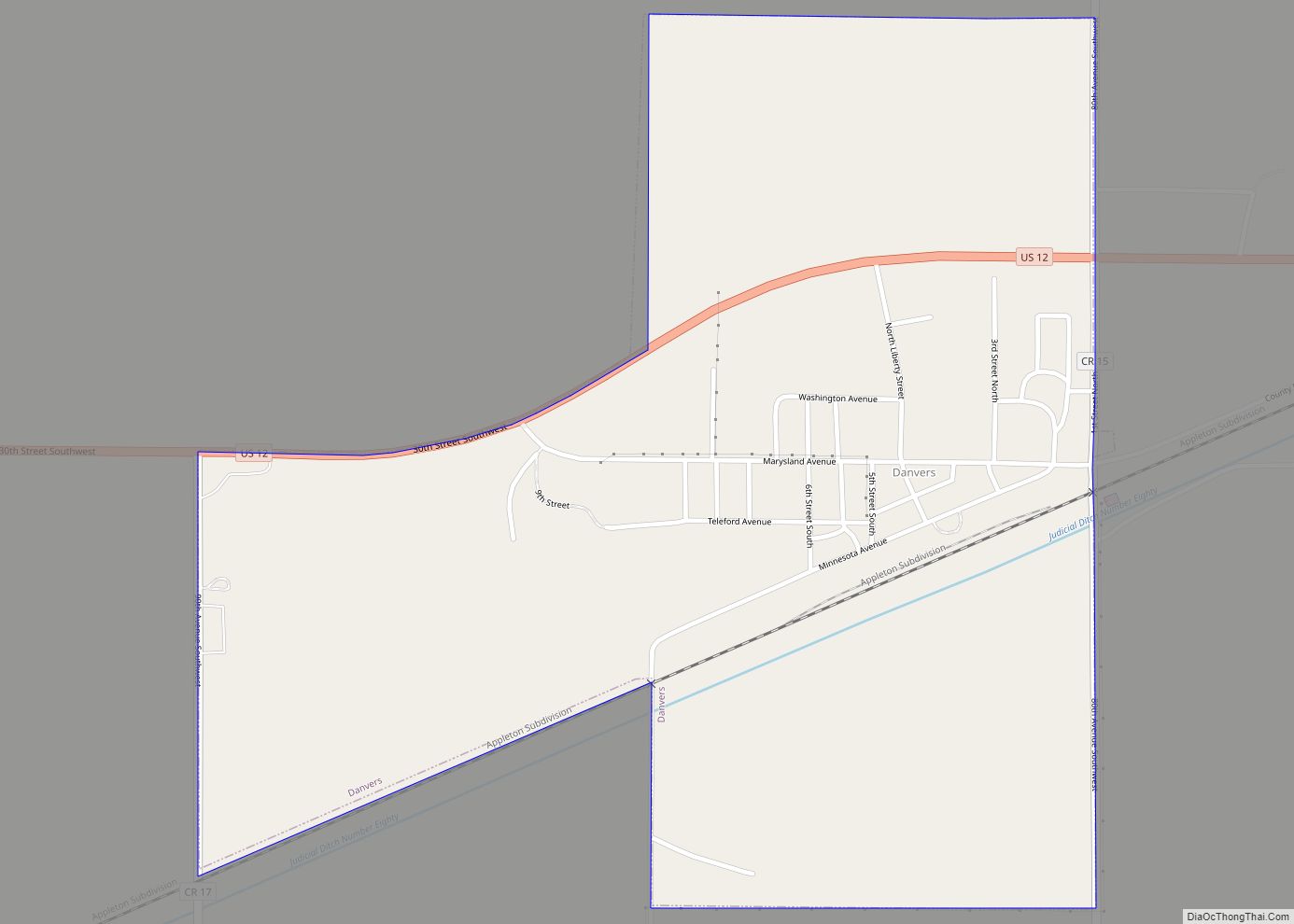
Danvers is a city in Swift County, Minnesota, United States. The population was 97 at the 2010 census. The community is named after Danvers, Massachusetts. Danvers city overview: Name: Danvers city LSAD Code: 25 LSAD Description: city (suffix) State: Minnesota County: Swift County Elevation: 1,030 ft (314 m) Total Area: 0.69 sq mi (1.80 km²) Land Area: 0.69 sq mi (1.80 km²) Water ... Read more
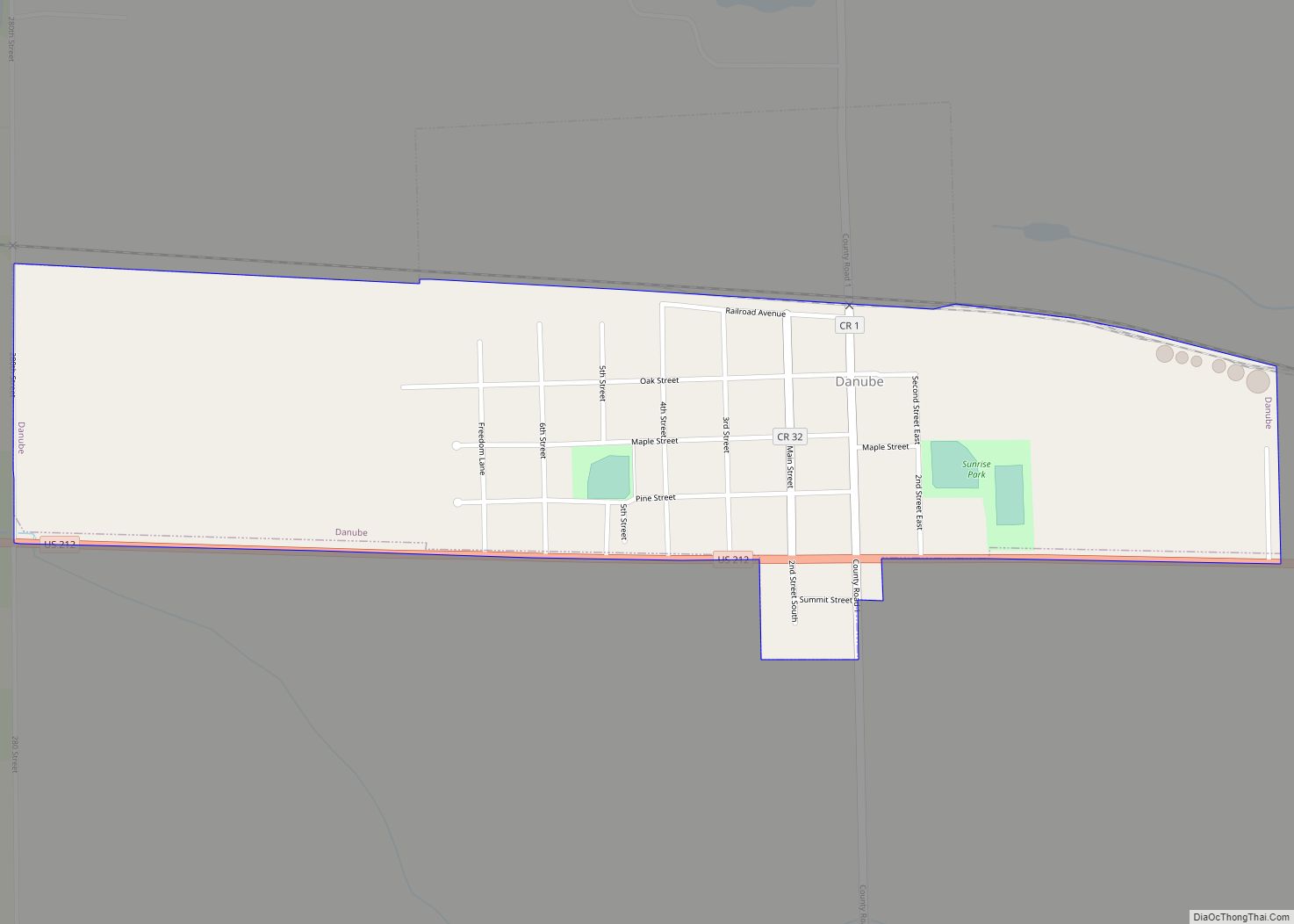
Danube is a city in Renville County, Minnesota, United States. The population was 505 at the 2010 census. Danube city overview: Name: Danube city LSAD Code: 25 LSAD Description: city (suffix) State: Minnesota County: Renville County Elevation: 1,093 ft (333 m) Total Area: 0.49 sq mi (1.26 km²) Land Area: 0.49 sq mi (1.26 km²) Water Area: 0.00 sq mi (0.00 km²) Total Population: 458 Population ... Read more
Dalton is a city in Otter Tail County, Minnesota, United States. The population was 215 at the 2020 census. Dalton city overview: Name: Dalton city LSAD Code: 25 LSAD Description: city (suffix) State: Minnesota County: Otter Tail County Founded: 1882 Elevation: 1,371 ft (418 m) Total Area: 0.24 sq mi (0.61 km²) Land Area: 0.24 sq mi (0.61 km²) Water Area: 0.00 sq mi (0.00 km²) ... Read more
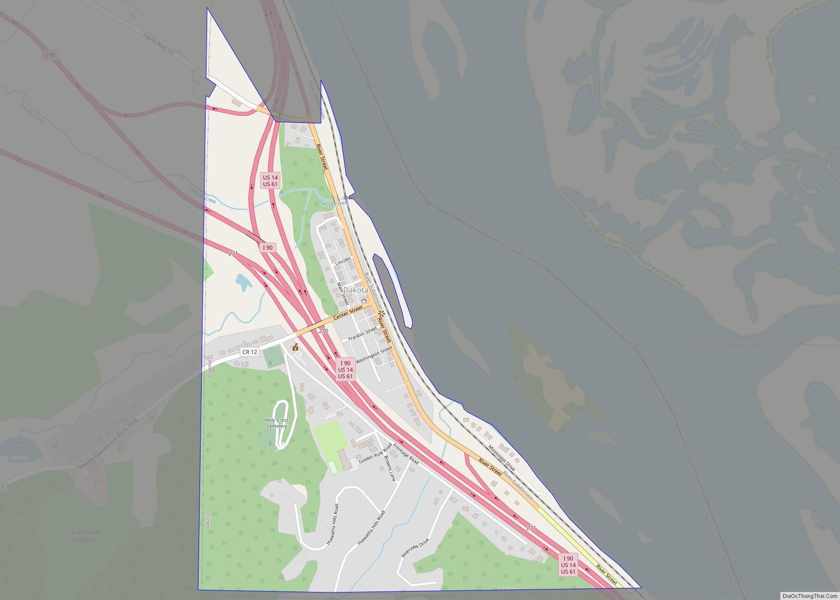
Dakota is a city in Winona County, Minnesota, United States. The population was 295 at the 2020 census. It is located between Winona and La Crosse along Interstate 90. U.S. Highways 61 and 14 are briefly co-signed with Interstate 90 at this point. Other routes include Winona County Road 12, the Apple Blossom Scenic Drive. ... Read more
