Atwater is a city in Kandiyohi County, Minnesota, United States. The population was 1,124 at the 2020 census. Atwater city overview: Name: Atwater city LSAD Code: 25 LSAD Description: city (suffix) State: Minnesota County: Kandiyohi County Founded: 1869 Incorporated: February 17, 1876 Elevation: 1,214 ft (370 m) Total Area: 1.08 sq mi (2.80 km²) Land Area: 1.03 sq mi (2.67 km²) Water Area: ... Read more
Minnesota Cities and Places
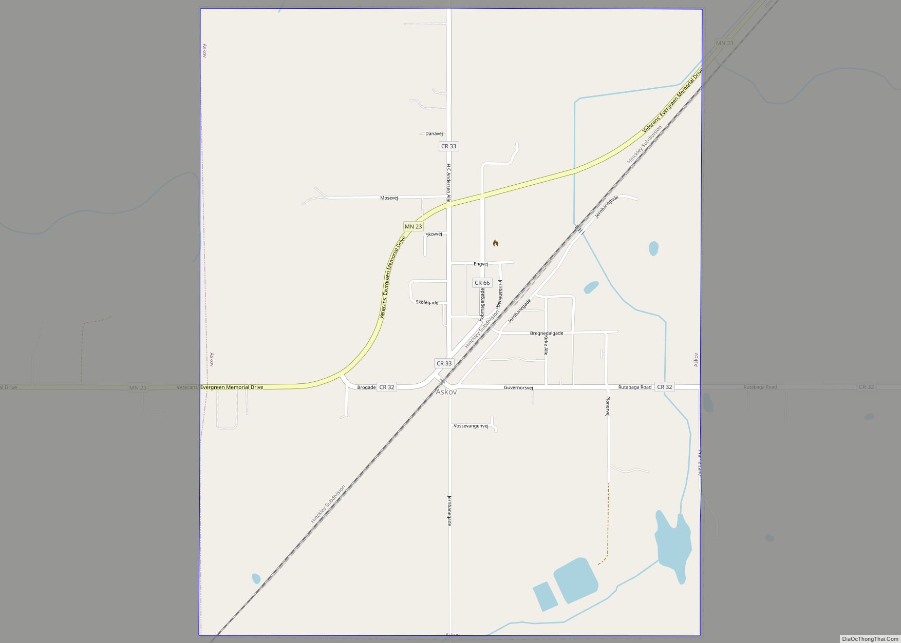
Askov is a city in Pine County, Minnesota, United States. The population was 364 at the 2010 census. Minnesota State Highway 23 serves as a main route in the community, and Interstate 35 is nearby. Askov city overview: Name: Askov city LSAD Code: 25 LSAD Description: city (suffix) State: Minnesota County: Pine County Incorporated: April ... Read more
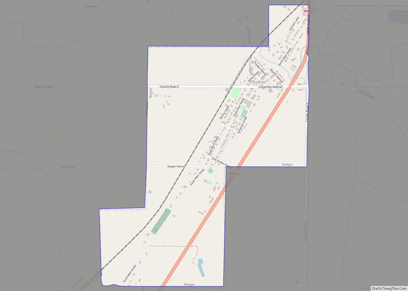
Badger is a city in Skagen Township of Roseau County, Minnesota, United States. The population was 375 at the 2010 census. Badger city overview: Name: Badger city LSAD Code: 25 LSAD Description: city (suffix) State: Minnesota County: Roseau County Elevation: 1,079 ft (329 m) Total Area: 1.34 sq mi (3.46 km²) Land Area: 1.34 sq mi (3.46 km²) Water Area: 0.00 sq mi (0.00 km²) Total ... Read more
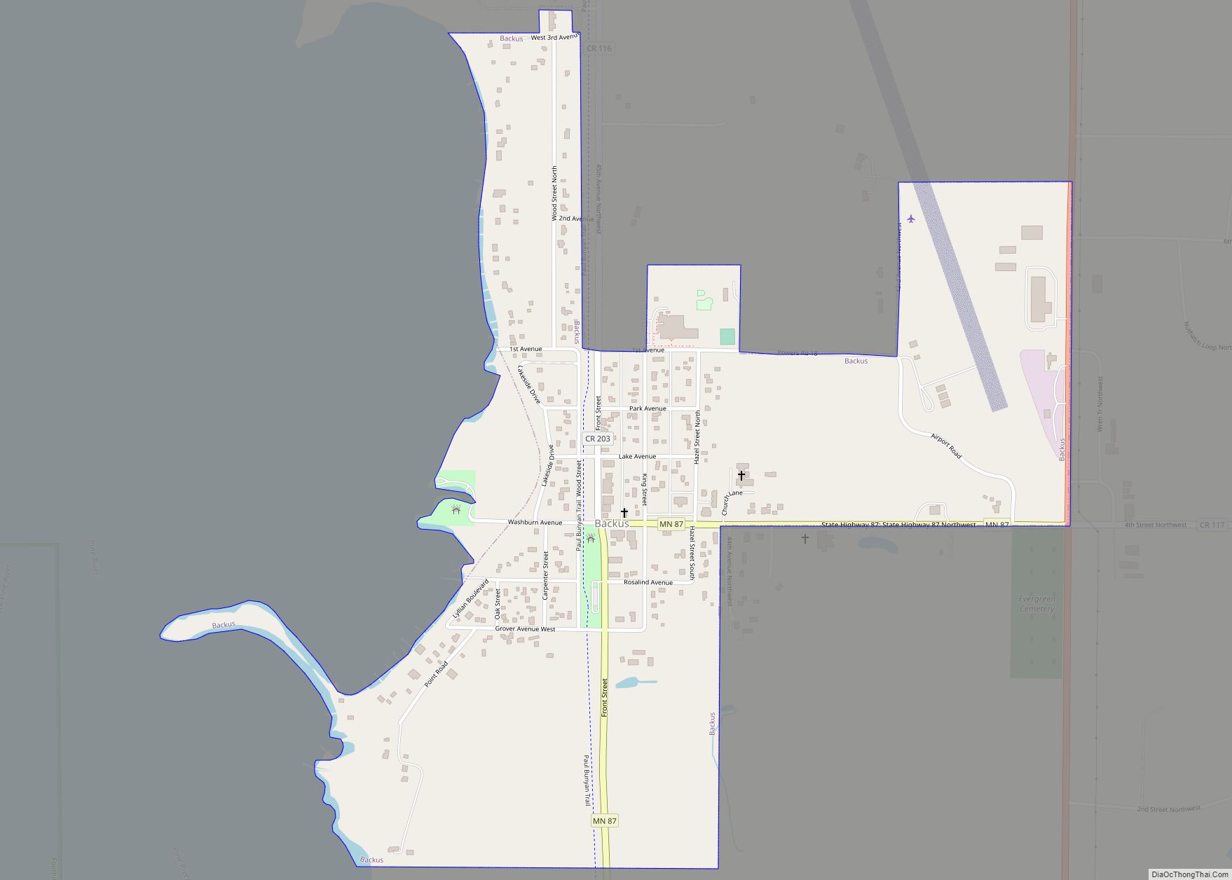
Backus is a city in Cass County, Minnesota, United States. The population was 250 at the 2010 census. It is part of the Brainerd Micropolitan Statistical Area. Backus city overview: Name: Backus city LSAD Code: 25 LSAD Description: city (suffix) State: Minnesota County: Cass County Elevation: 1,345 ft (410 m) Total Area: 0.62 sq mi (1.61 km²) Land Area: 0.62 sq mi ... Read more
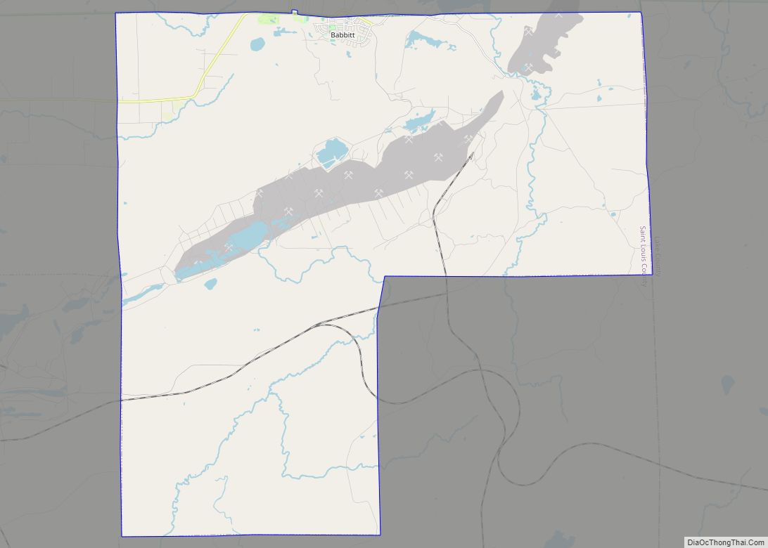
Babbitt is a city in Saint Louis County, Minnesota, United States. As of the 2020 census, the city had a population of 1,462. Saint Louis County Highway 21 (CR 21) serves as a main route in the community. Babbitt city overview: Name: Babbitt city LSAD Code: 25 LSAD Description: city (suffix) State: Minnesota County: St. ... Read more
Avon is a city in Stearns County, Minnesota, United States. The population was 1,396 at the 2010 census. It is part of the St. Cloud Metropolitan Statistical Area. Avon city overview: Name: Avon city LSAD Code: 25 LSAD Description: city (suffix) State: Minnesota County: Stearns County Elevation: 1,132 ft (345 m) Total Area: 1.70 sq mi (4.41 km²) Land Area: ... Read more
Avoca (/ˈævoʊkə/) is a city in Murray County, Minnesota, United States. The population was 111 at the 2020 census. Avoca city overview: Name: Avoca city LSAD Code: 25 LSAD Description: city (suffix) State: Minnesota County: Murray County Elevation: 1,539 ft (469 m) Total Area: 1.17 sq mi (3.03 km²) Land Area: 0.96 sq mi (2.50 km²) Water Area: 0.20 sq mi (0.53 km²) Total Population: 111 ... Read more
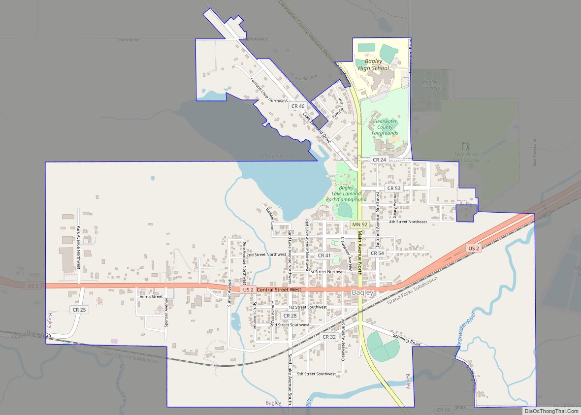
Bagley (/ˈbeɪɡli/ BAYG-lee) is a city in Clearwater County, Minnesota, United States. The population was 1,285 at the 2020 census. It is the county seat of Clearwater County. Bagley city overview: Name: Bagley city LSAD Code: 25 LSAD Description: city (suffix) State: Minnesota County: Clearwater County Founded: 1898 Elevation: 1,450 ft (442 m) Total Area: 2.21 sq mi (5.72 km²) ... Read more
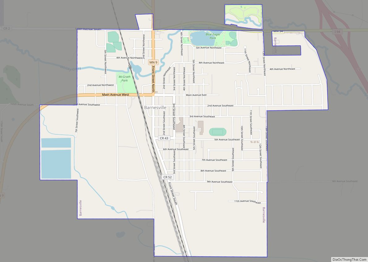
Barnesville is a city in Clay County, Minnesota, United States. The population is 2,759 at the 2020 census. Barnesville Potato Days is held annually in August. Interstate 94/U.S. Highway 52, as well as Minnesota State Highways 9 and 34 are four of the main routes in the city. Barnesville city overview: Name: Barnesville city LSAD ... Read more
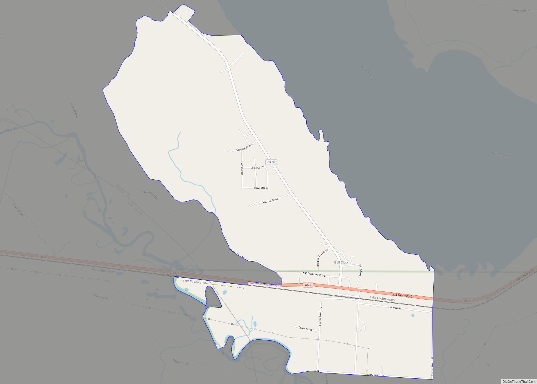
Ball Club is an unincorporated community and census-designated place (CDP) in Itasca County, Minnesota, United States; located within the Leech Lake Indian Reservation. As of the 2010 census, its population was 342. Ball Club is located between Zemple and Bena. The center of Ball Club is generally considered at the junction of U.S. Highway 2 ... Read more
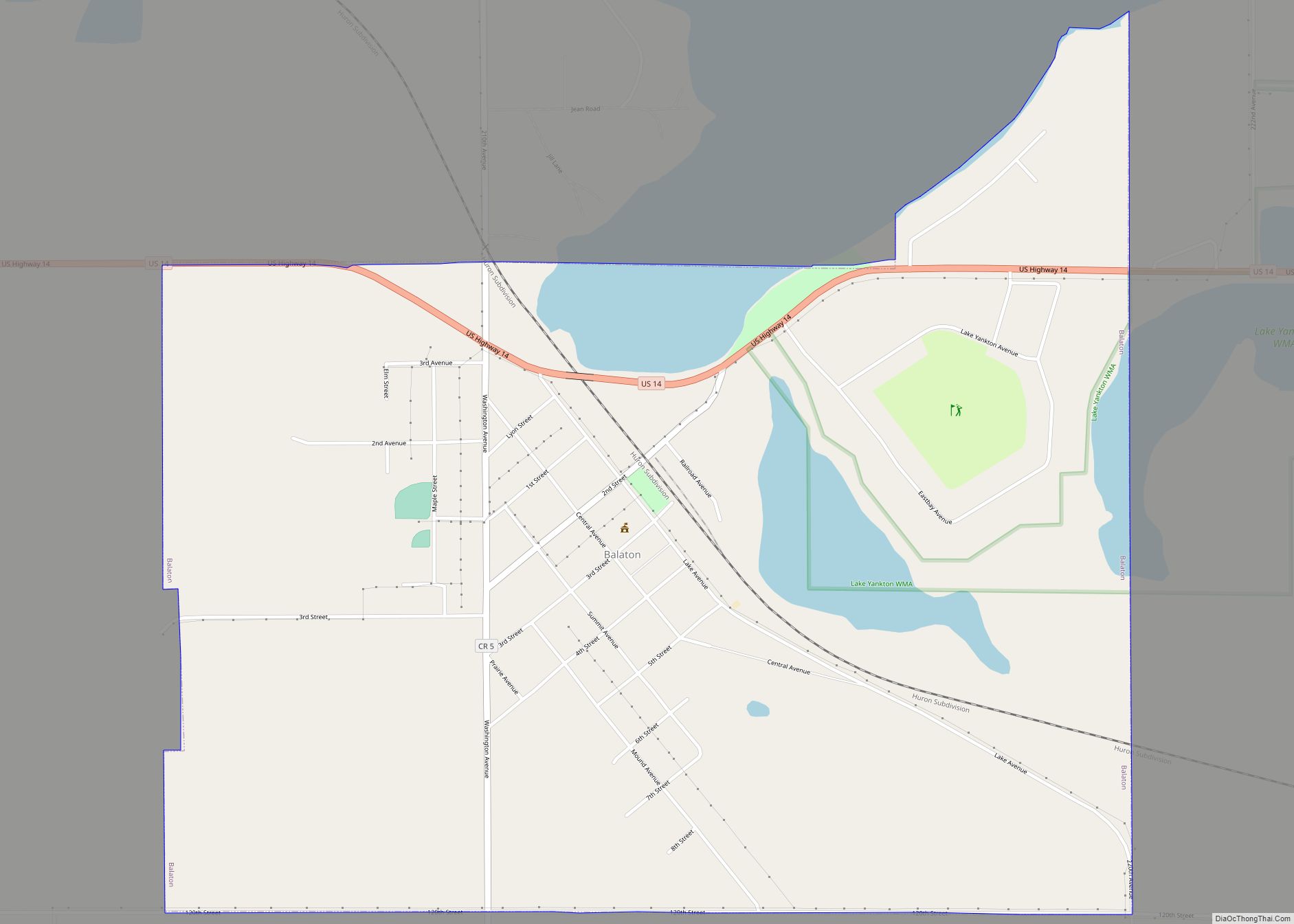
Balaton is a city in Lyon County, Minnesota, United States. The population was 643 at the 2010 census. Balaton city overview: Name: Balaton city LSAD Code: 25 LSAD Description: city (suffix) State: Minnesota County: Lyon County Elevation: 1,542 ft (470 m) Total Area: 1.58 sq mi (4.10 km²) Land Area: 1.45 sq mi (3.76 km²) Water Area: 0.13 sq mi (0.34 km²) Total Population: 595 Population ... Read more
Baker is an unincorporated community and census-designated place in Clay County, Minnesota, United States. It lies roughly halfway between the cities of Sabin and Barnesville. As of the 2020 census, its population was 45. Baker CDP overview: Name: Baker CDP LSAD Code: 57 LSAD Description: CDP (suffix) State: Minnesota County: Clay County Elevation: 938 ft (286 m) ... Read more

