Nimrod is a city in Wadena County, Minnesota, United States. The population was 69 at the 2010 census, making it one of the smallest incorporated towns in Minnesota, though it is included on most major maps. Nimrod was incorporated as a city in 1946. The town is named after the Biblical Nimrod. Minnesota State Highway ... Read more
Minnesota Cities and Places
Nielsville (/ˈniːlzvɪl/ NEELZ-vil) is a city in Polk County, Minnesota, United States. It is part of the Grand Forks, ND–MN Metropolitan Statistical Area. The population was 78 at the 2020 census. Nielsville city overview: Name: Nielsville city LSAD Code: 25 LSAD Description: city (suffix) State: Minnesota County: Polk County Elevation: 866 ft (264 m) Total Area: 0.29 sq mi ... Read more
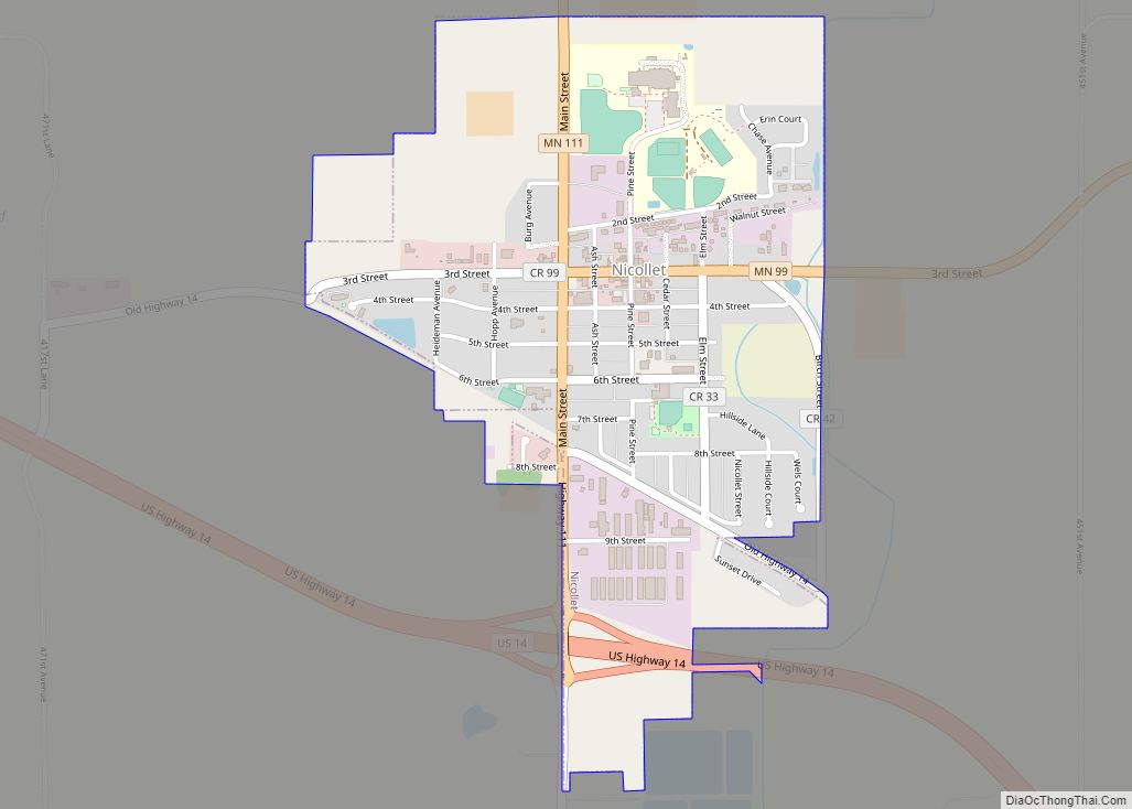
Nicollet (/ˈnɪkəlɪt/ NIH-kə-lit) is a city in Nicollet County, Minnesota, United States. The population was 1,143 at the 2020 census. It is part of the Mankato—North Mankato Metropolitan Statistical Area. U.S. Route 14 and Minnesota State Highways 99 and 111 are the three main arterial routes in the community. Nearby Swan Lake Wildlife Management Area ... Read more
Northome is a city located in the southwestern corner of Koochiching County, Minnesota, United States. The population was 155 at the 2020 census. The county seat is International Falls, about 70 miles (110 km) away. U.S. Highway 71 and State Highways 1 and 46 meet in Northome. Northome city overview: Name: Northome city LSAD Code: 25 ... Read more
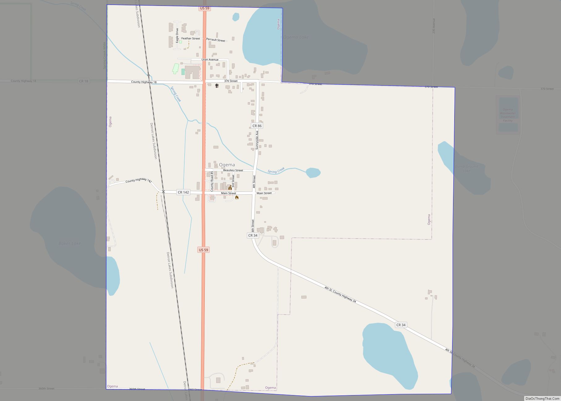
Ogema is a city in Becker County, Minnesota, United States. The population was 208 at the 2020 census. Ogema city overview: Name: Ogema city LSAD Code: 25 LSAD Description: city (suffix) State: Minnesota County: Becker County Elevation: 1,270 ft (387 m) Total Area: 1.21 sq mi (3.14 km²) Land Area: 1.16 sq mi (3.00 km²) Water Area: 0.05 sq mi (0.13 km²) Total Population: 208 Population ... Read more
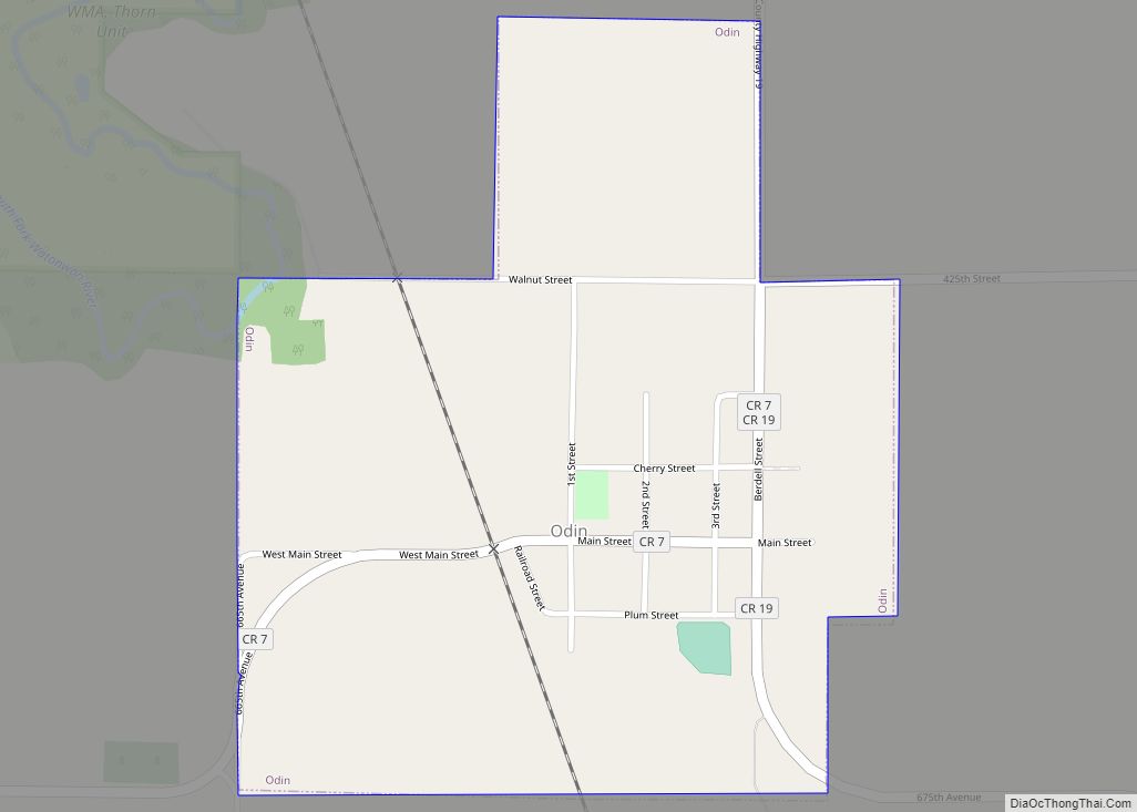
Odin is a city in Watonwan County, Minnesota, United States, along the South Fork of the Watonwan River. The population was 123 at the 2020 census. Odin city overview: Name: Odin city LSAD Code: 25 LSAD Description: city (suffix) State: Minnesota County: Watonwan County Elevation: 1,211 ft (369 m) Total Area: 0.37 sq mi (0.96 km²) Land Area: 0.37 sq mi (0.96 km²) ... Read more
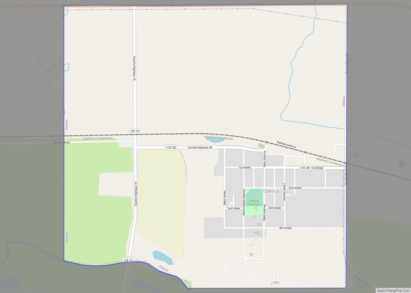
Odessa is a city in Big Stone County, Minnesota, United States. The population was 135 at the 2010 census. Odessa city overview: Name: Odessa city LSAD Code: 25 LSAD Description: city (suffix) State: Minnesota County: Big Stone County Elevation: 961 ft (293 m) Total Area: 0.96 sq mi (2.50 km²) Land Area: 0.96 sq mi (2.50 km²) Water Area: 0.00 sq mi (0.00 km²) Total Population: ... Read more
Oakdale is a city in Washington County, Minnesota, United States. It is a suburb of Saint Paul and is on the eastern side of the Twin Cities Metropolitan area. The population was 27,378 at the 2010 census. Oakdale is the 32nd largest city in Minnesota by population. Oakdale lies entirely within the North St. Paul–Maplewood–Oakdale ... Read more
Oak Park Heights is a city in Washington County, Minnesota, United States. The population was 4,849 at the 2020 census. Oak Park Heights city overview: Name: Oak Park Heights city LSAD Code: 25 LSAD Description: city (suffix) State: Minnesota County: Washington County Founded: 1857 Elevation: 915 ft (279 m) Total Area: 3.35 sq mi (8.66 km²) Land Area: 2.93 sq mi (7.58 km²) ... Read more
Oak Grove is a city in Anoka County, Minnesota, United States. It is north of Minneapolis. The population was 8,031 at the 2010 census. Oak Grove city overview: Name: Oak Grove city LSAD Code: 25 LSAD Description: city (suffix) State: Minnesota County: Anoka County Elevation: 896 ft (273 m) Total Area: 35.20 sq mi (91.18 km²) Land Area: 33.91 sq mi (87.82 km²) ... Read more
Nowthen is a city in Anoka County, Minnesota, United States. The population was 4,536 at the 2020 census. Nowthen city overview: Name: Nowthen city LSAD Code: 25 LSAD Description: city (suffix) State: Minnesota County: Anoka County Incorporated: 2008 Elevation: 925 ft (282 m) Total Area: 35.19 sq mi (91.15 km²) Land Area: 33.66 sq mi (87.17 km²) Water Area: 1.54 sq mi (3.98 km²) Total Population: ... Read more
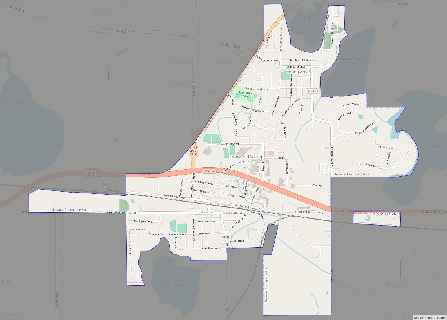
Norwood Young America is a city in Carver County, Minnesota, United States, located about 40 miles west of Minneapolis. The population was 3,549 at the 2010 census. Norwood Young America city overview: Name: Norwood Young America city LSAD Code: 25 LSAD Description: city (suffix) State: Minnesota County: Carver County Elevation: 991 ft (302 m) Total Area: 2.49 sq mi ... Read more


