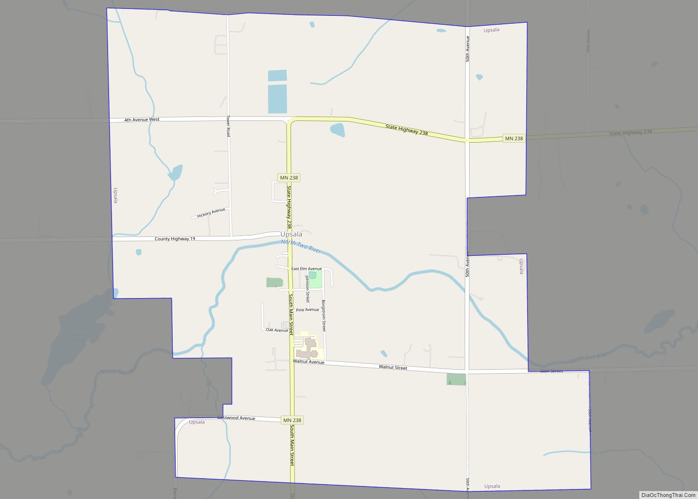
Upsala is a city in Morrison County, Minnesota, United States. The population was 487 at the 2020 census. Upsala city overview: Name: Upsala city LSAD Code: 25 LSAD Description: city (suffix) State: Minnesota County: Morrison County Elevation: 1,198 ft (365 m) Total Area: 3.24 sq mi (8.39 km²) Land Area: 3.24 sq mi (8.39 km²) Water Area: 0.00 sq mi (0.00 km²) Total Population: 487 Population ... Read more
Minnesota Cities and Places
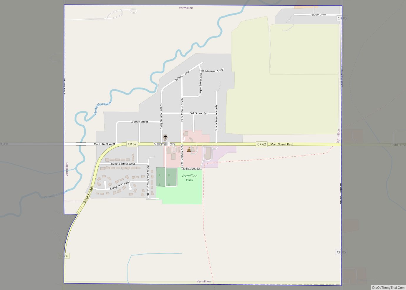
Vermillion is a city in Dakota County, Minnesota, United States. The population was 441 at the 2020 census. Vermillion city overview: Name: Vermillion city LSAD Code: 25 LSAD Description: city (suffix) State: Minnesota County: Dakota County Elevation: 843 ft (257 m) Total Area: 0.99 sq mi (2.57 km²) Land Area: 0.98 sq mi (2.55 km²) Water Area: 0.01 sq mi (0.02 km²) Total Population: 441 Population ... Read more
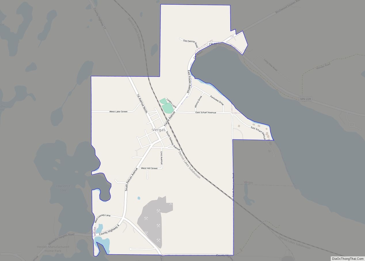
Vergas is a city in Otter Tail County, Minnesota, United States. The population was 348 at the 2020 census. Vergas claims it is home of the World’s Largest Loon, actually a 20-foot-high (6.1 m) sculpture of a loon, the Minnesota state bird. Vergas city overview: Name: Vergas city LSAD Code: 25 LSAD Description: city (suffix) State: ... Read more
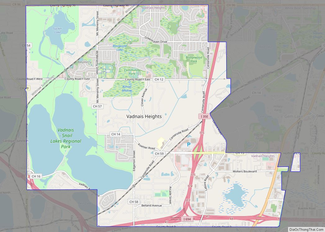
Vadnais Heights is a city in Ramsey County, Minnesota, United States. The population was 12,302 at the 2010 census. Vadnais Heights city overview: Name: Vadnais Heights city LSAD Code: 25 LSAD Description: city (suffix) State: Minnesota County: Ramsey County Elevation: 906 ft (276 m) Total Area: 8.22 sq mi (21.28 km²) Land Area: 6.97 sq mi (18.05 km²) Water Area: 1.25 sq mi (3.23 km²) Total ... Read more
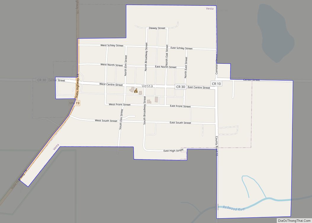
Vesta is a city in Redwood County, Minnesota, United States. The population was 319 at the 2010 census. Vesta city overview: Name: Vesta city LSAD Code: 25 LSAD Description: city (suffix) State: Minnesota County: Redwood County Elevation: 1,060 ft (323 m) Total Area: 0.40 sq mi (1.05 km²) Land Area: 0.40 sq mi (1.05 km²) Water Area: 0.00 sq mi (0.00 km²) Total Population: 276 Population ... Read more
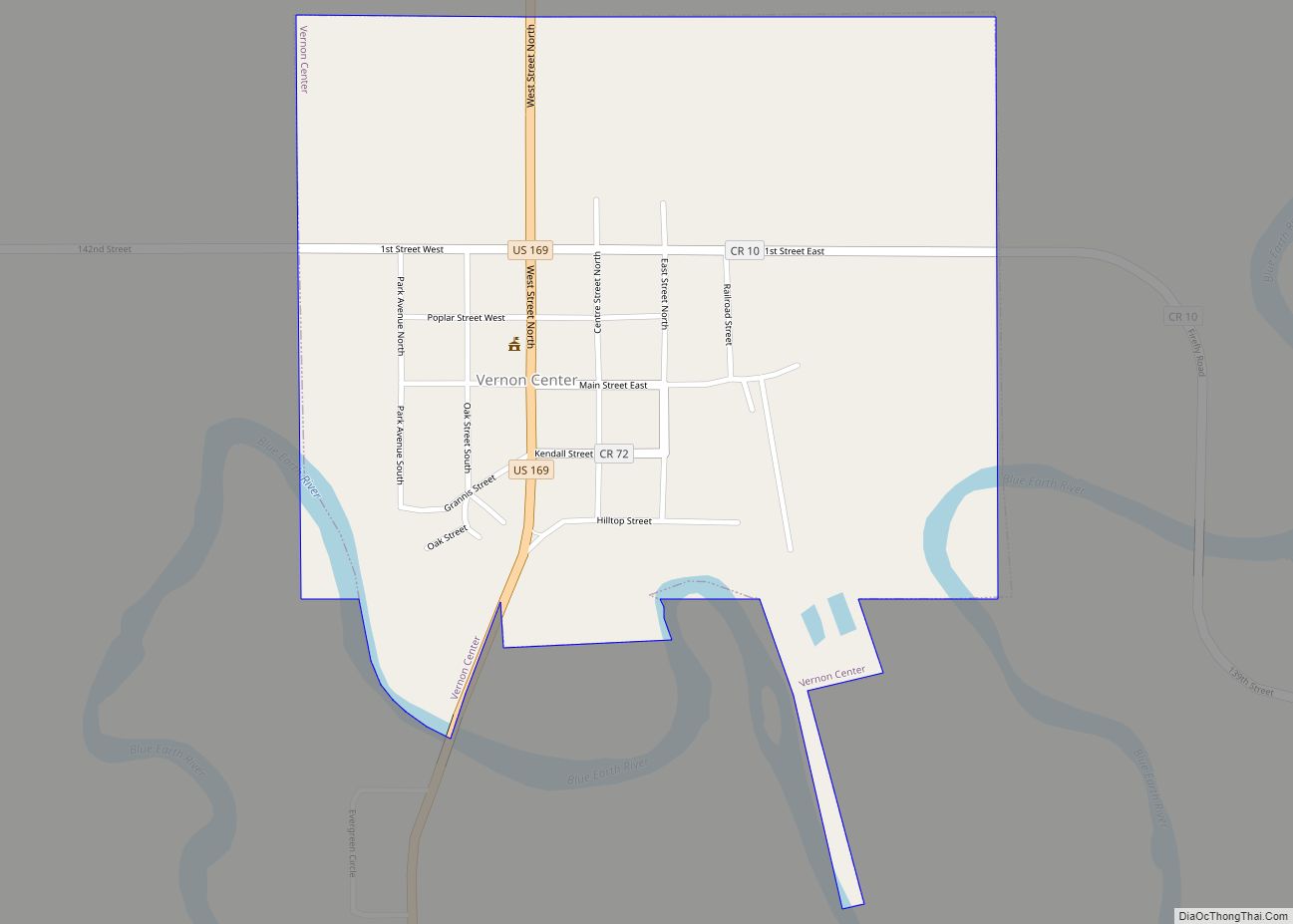
Vernon Center is a city in Blue Earth County, Minnesota, United States, along the Blue Earth River. The population was 328 at the 2020 census. It is part of the Mankato–North Mankato Metropolitan Statistical Area. Vernon Center city overview: Name: Vernon Center city LSAD Code: 25 LSAD Description: city (suffix) State: Minnesota County: Blue Earth ... Read more
Verndale is a city in Wadena County, Minnesota, United States. The population was 602 at the 2010 census. Verndale city overview: Name: Verndale city LSAD Code: 25 LSAD Description: city (suffix) State: Minnesota County: Wadena County Elevation: 1,348 ft (411 m) Total Area: 1.03 sq mi (2.67 km²) Land Area: 1.03 sq mi (2.67 km²) Water Area: 0.00 sq mi (0.00 km²) Total Population: 511 Population ... Read more
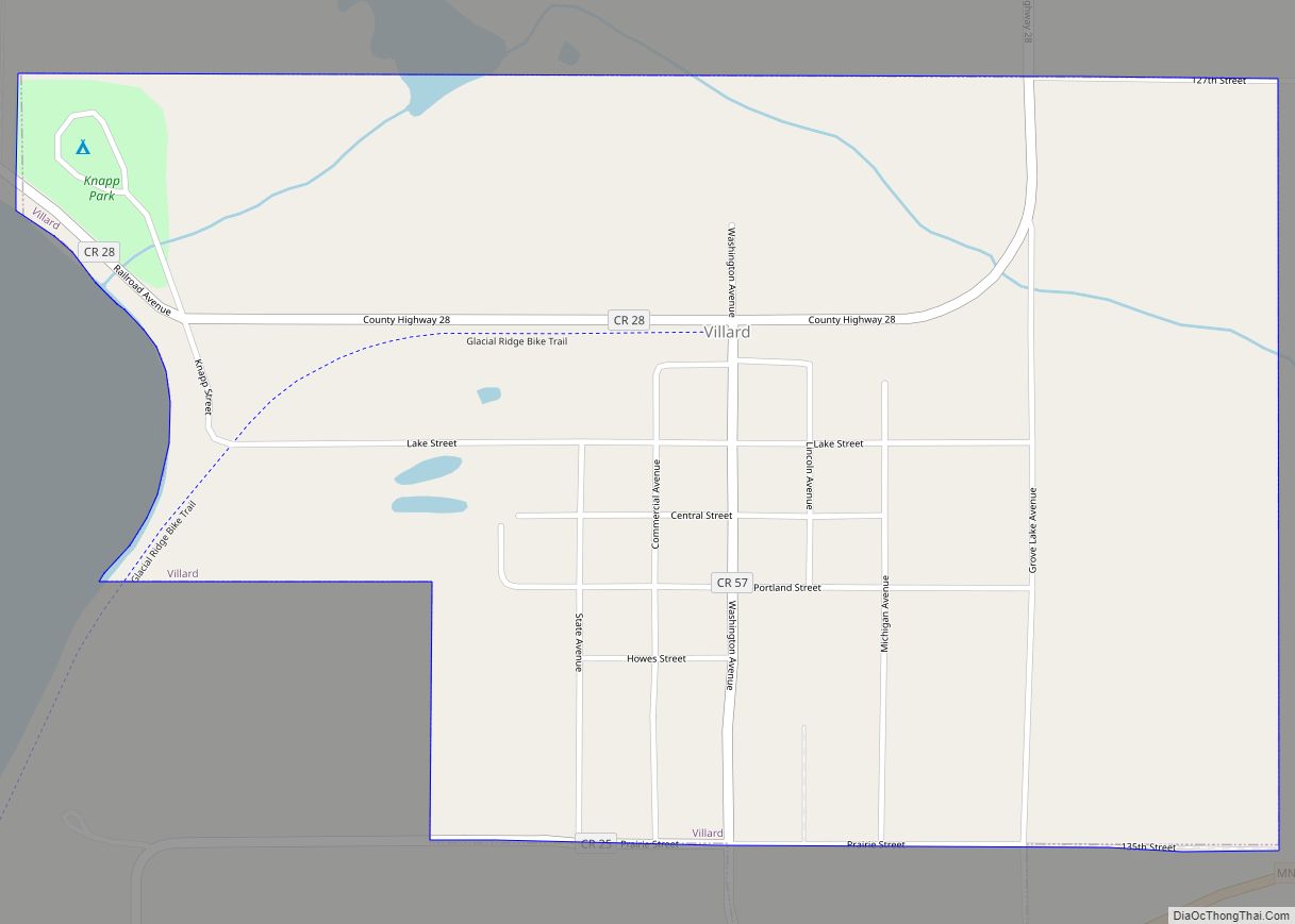
Villard is a city in Pope County, Minnesota, United States. The population was 225 at the 2020 census. Villard city overview: Name: Villard city LSAD Code: 25 LSAD Description: city (suffix) State: Minnesota County: Pope County Founded: 1882 Elevation: 1,362 ft (415 m) Total Area: 0.85 sq mi (2.21 km²) Land Area: 0.85 sq mi (2.20 km²) Water Area: 0.00 sq mi (0.00 km²) Total Population: ... Read more
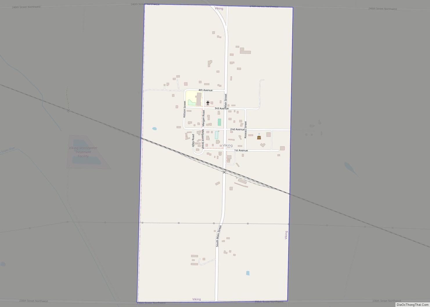
Viking is a city in Marshall County, Minnesota, United States. The population was 79 at the 2020 census. Viking city overview: Name: Viking city LSAD Code: 25 LSAD Description: city (suffix) State: Minnesota County: Marshall County Elevation: 1,070 ft (326 m) Total Area: 0.52 sq mi (1.34 km²) Land Area: 0.52 sq mi (1.34 km²) Water Area: 0.00 sq mi (0.00 km²) Total Population: 79 Population ... Read more
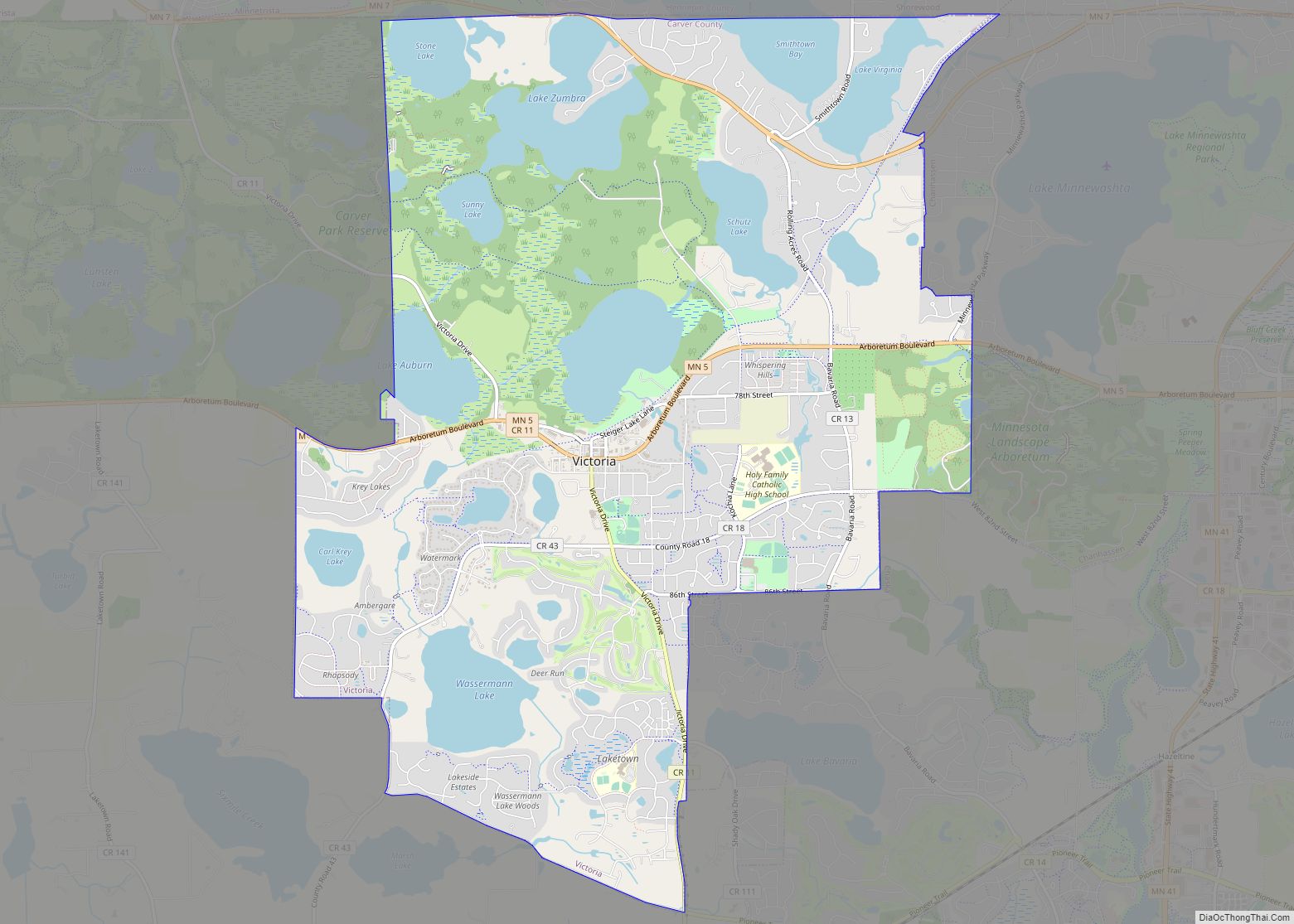
Victoria is a city in Carver County, Minnesota, United States. The population was 10,546 at the 2020 census. Victoria city overview: Name: Victoria city LSAD Code: 25 LSAD Description: city (suffix) State: Minnesota County: Carver County Elevation: 988 ft (329.3 m) Total Area: 10.69 sq mi (27.70 km²) Land Area: 8.71 sq mi (22.57 km²) Water Area: 1.98 sq mi (5.13 km²) Total Population: 10,546 Population ... Read more
Virginia is a city in St. Louis County, Minnesota, United States, on the Mesabi Iron Range. With an economy heavily reliant on large-scale iron ore mining, Virginia is considered the Mesabi Range’s commercial center. The population was 8,423 at the 2020 census. Virginia is just south of the Superior National Forest and about 100 miles ... Read more
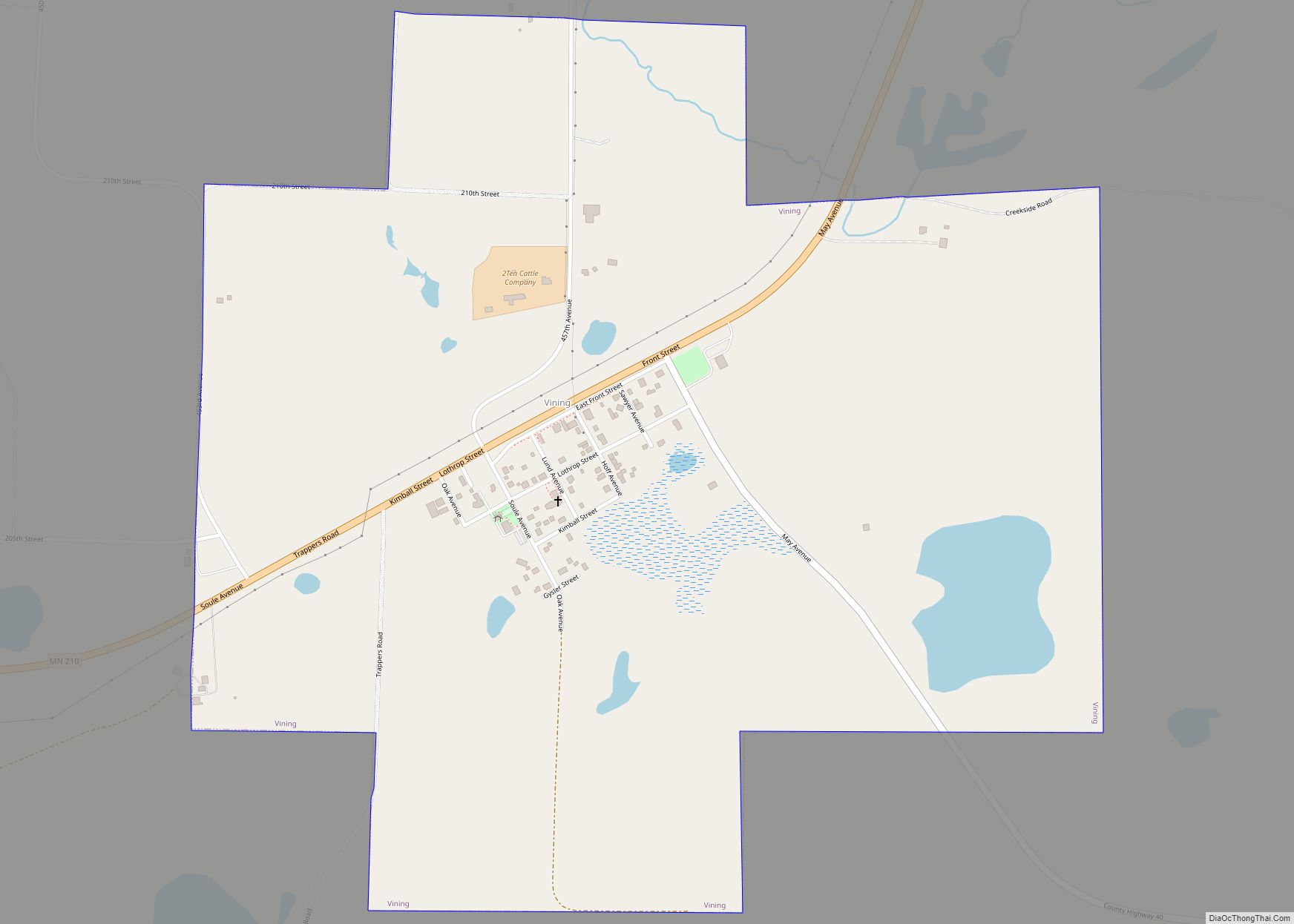
Vining is a city in Otter Tail County, Minnesota, United States. The population was 62 at the 2020 census. Vining city overview: Name: Vining city LSAD Code: 25 LSAD Description: city (suffix) State: Minnesota County: Otter Tail County Founded: 1882 Incorporated: 1909 Elevation: 1,391 ft (424 m) Total Area: 1.19 sq mi (3.08 km²) Land Area: 1.15 sq mi (2.98 km²) Water Area: ... Read more
