Map of Puckett village

Map of Puckett village

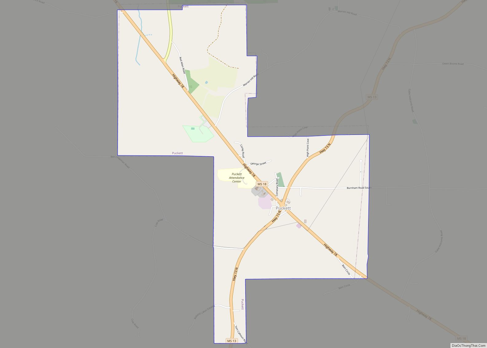
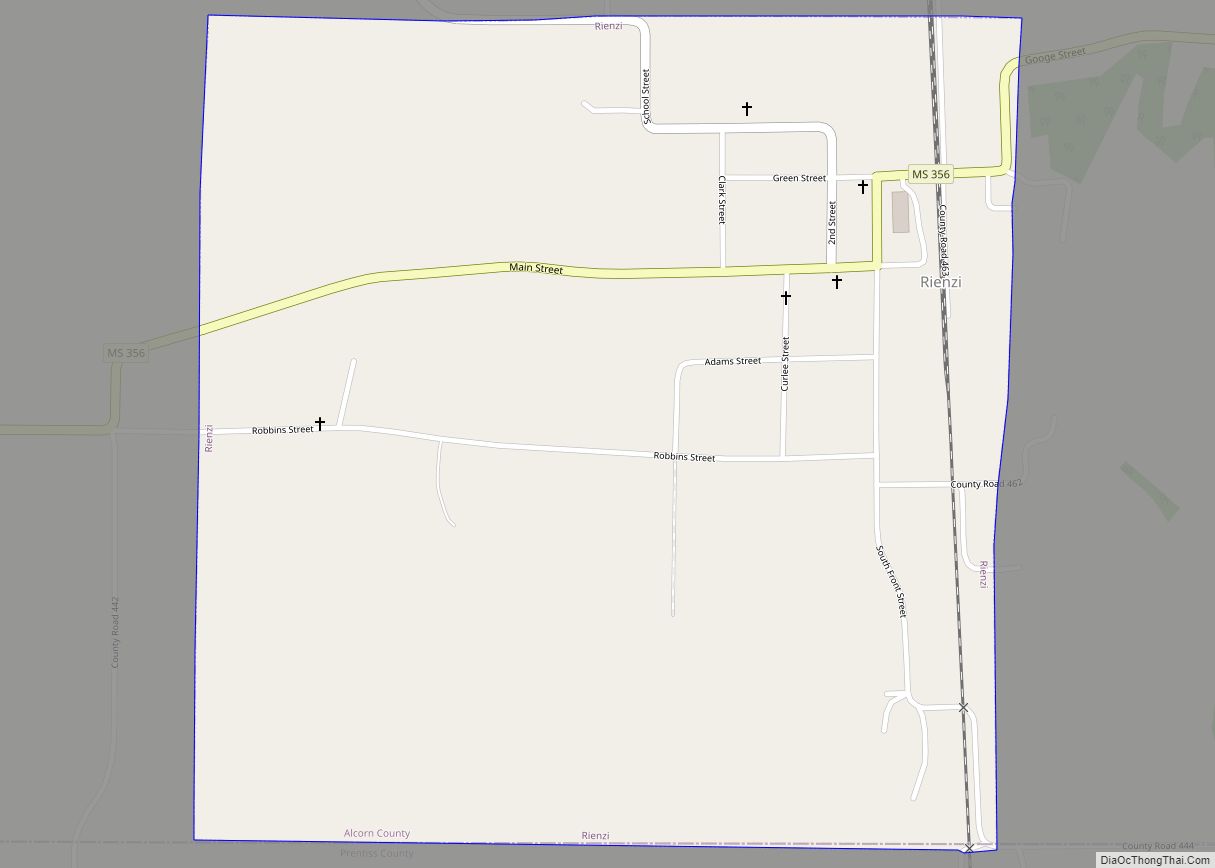
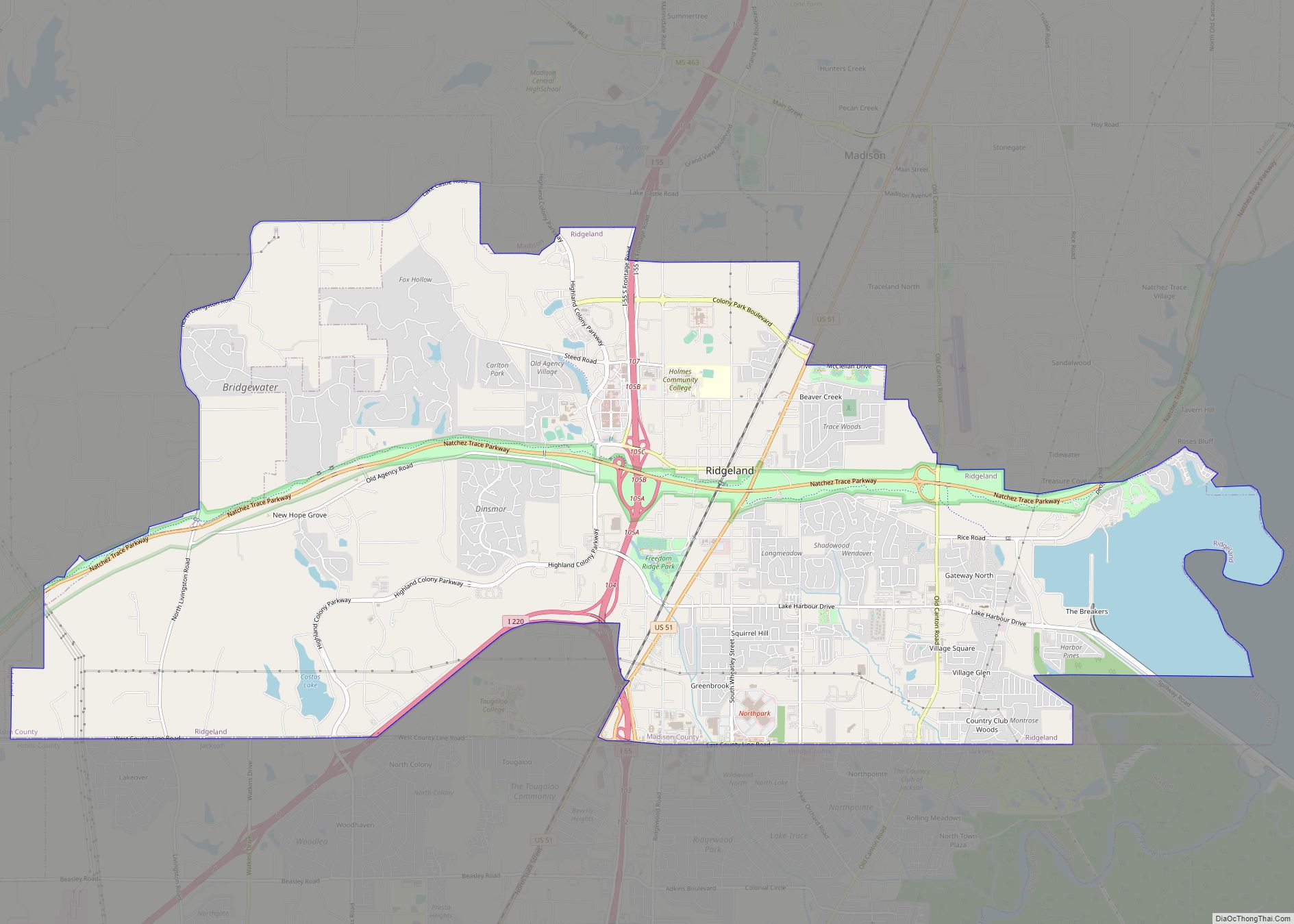
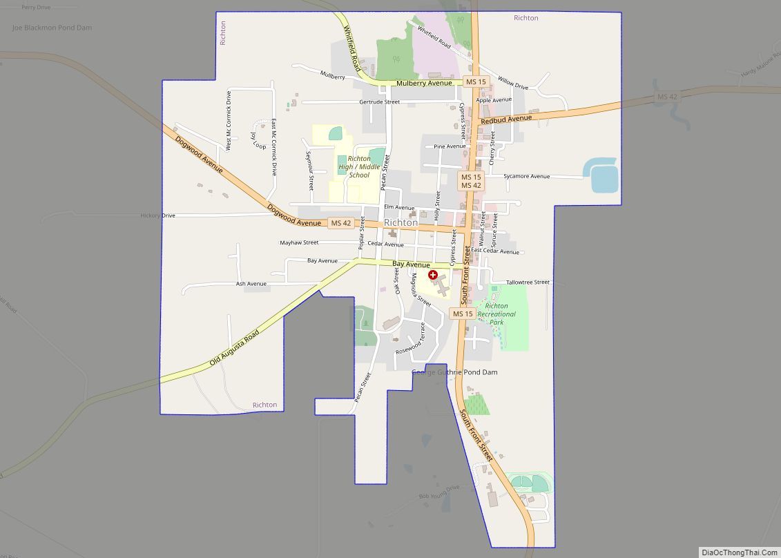
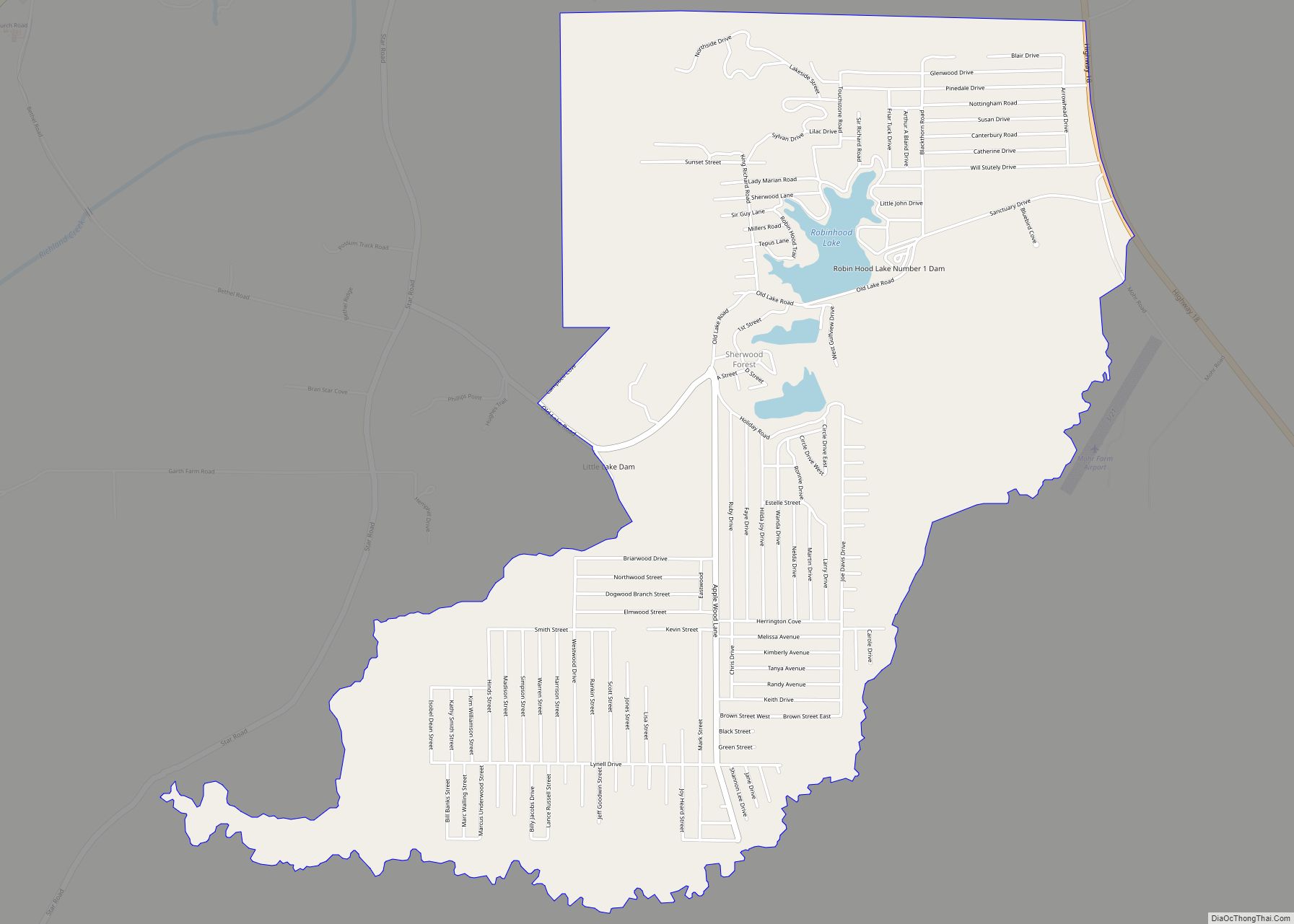
Puckett is a village in Rankin County, Mississippi, United States. According to the 2020 census, the population was 342. It is part of the Jackson Metropolitan Statistical Area. Puckett village overview: Name: Puckett village LSAD Code: 47 LSAD Description: village (suffix) State: Mississippi County: Rankin County Elevation: 341 ft (104 m) Total Area: 2.88 sq mi (7.47 km²) Land Area: … Read more

Map of Prentiss town

Map of Prentiss town

Prentiss is a town in Jefferson Davis County, Mississippi. The population was 1,081 at the 2010 census, down from 1,158 at the 2000 census. It is the county seat. Prentiss is located on the Longleaf Trace, Mississippi’s first recreational rail trail. Prentiss town overview: Name: Prentiss town LSAD Code: 43 LSAD Description: town (suffix) State: … Read more

Map of Richland city, Mississippi

Map of Richland city, Mississippi

Richland is a city in Rankin County, Mississippi, United States. The population was 6,912 at the 2010 census. It is a suburb of Jackson, and is part of the Jackson Metropolitan Statistical Area. Richland city overview: Name: Richland city LSAD Code: 25 LSAD Description: city (suffix) State: Mississippi County: Rankin County Incorporated: October 31, 1974; 48 … Read more

Map of Renova town

Map of Renova town

Renova is a town in Bolivar County, Mississippi, United States.Per the 2020 census, the population was 676. The community was founded by African Americans and remains predominantly African American. Renova town overview: Name: Renova town LSAD Code: 43 LSAD Description: town (suffix) State: Mississippi County: Bolivar County Elevation: 141 ft (43 m) Total Area: 0.87 sq mi (2.25 km²) Land … Read more

Map of Redwater CDP

Map of Redwater CDP, Mississippi

Redwater is a census-designated place (CDP) in Leake County, Mississippi, United States. It is one of the eight communities of the Mississippi Band of Choctaw Indians Reservation, and the population is 61% Choctaw. The population was 633 at the 2010 census, up from 409 at the 2000 census. Redwater CDP overview: Name: Redwater CDP LSAD … Read more

Map of Raymond city, Mississippi

Map of Raymond city, Mississippi

Raymond is a city in Hinds County, Mississippi, United States. As of the 2010 census, the city population was 1,933; in 2020, its population was 1,960. Raymond is one of two county seats of Hinds County (along with Jackson) and is the home of the main campus of Hinds Community College. Raymond is part of … Read more

Map of Rawls Springs CDP

Map of Rawls Springs CDP

Rawls Springs is an unincorporated community and census-designated place (CDP) located in Forrest County, Mississippi, United States. As of the 2020 census it had a population of 1,202. Rawls Springs is approximately 6.5 miles (10.5 km) northwest of Hattiesburg near U.S. Route 49 and a part of the Hattiesburg, Mississippi Metropolitan Statistical Area. Rawls Springs is … Read more

Map of Robinhood CDP

Map of Robinhood CDP

Robinhood is an unincorporated community and census-designated place in Rankin County, Mississippi, United States. Per the 2020 census, the population was 1,491. Robinhood CDP overview: Name: Robinhood CDP LSAD Code: 57 LSAD Description: CDP (suffix) State: Mississippi County: Rankin County Elevation: 400 ft (100 m) Total Area: 5.27 sq mi (13.64 km²) Land Area: 5.08 sq mi (13.16 km²) Water Area: 0.19 sq mi (0.48 km²) … Read more

Map of Ripley city, Mississippi

Map of Ripley city, Mississippi

Ripley is a city in Tippah County, Mississippi, United States. The population was 5,395 at the 2010 census. It is the county seat of Tippah County. Colonel William Clark Falkner, great-grandfather of authors William Faulkner and John Faulkner, was a prominent resident of Ripley in the mid to late-19th century. W.C. Falkner’s exploits in and … Read more

Map of Rienzi town

Map of Rienzi town

Rienzi is a town in Alcorn County, Mississippi, United States. The population was 317 at the 2010 census. Rienzi town overview: Name: Rienzi town LSAD Code: 43 LSAD Description: town (suffix) State: Mississippi County: Alcorn County Elevation: 440 ft (134 m) Total Area: 0.99 sq mi (2.57 km²) Land Area: 0.99 sq mi (2.57 km²) Water Area: 0.00 sq mi (0.00 km²) Total Population: 281 Population … Read more

Map of Ridgeland city

Map of Ridgeland city, Mississippi

Ridgeland is a city in Madison County, Mississippi, United States. The population was 24,340 at the 2020 census. It is part of the Jackson, Mississippi metropolitan area. Ridgeland city overview: Name: Ridgeland city LSAD Code: 25 LSAD Description: city (suffix) State: Mississippi County: Madison County Elevation: 358 ft (109 m) Total Area: 23.15 sq mi (59.96 km²) Land Area: 21.38 sq mi … Read more

Map of Richton town

Map of Richton town

Richton is a town in Perry County, Mississippi. It is part of the Hattiesburg, Mississippi Metropolitan Statistical Area. The population was 1,068 at the 2010 census. Richton town overview: Name: Richton town LSAD Code: 43 LSAD Description: town (suffix) State: Mississippi County: Perry County Elevation: 174 ft (53 m) Total Area: 2.29 sq mi (5.94 km²) Land Area: 2.29 sq mi (5.94 km²) … Read more