Ripley is a city in Tippah County, Mississippi, United States. The population was 5,395 at the 2010 census. It is the county seat of Tippah County.
Colonel William Clark Falkner, great-grandfather of authors William Faulkner and John Faulkner, was a prominent resident of Ripley in the mid to late-19th century. W.C. Falkner’s exploits in and around Ripley served as the model for Faulkner’s character of Colonel John Sartoris.
Ripley is located in the Hills region of North Mississippi, an important region for the birth of American music. The area is known as the birthplace of the hill country blues.
| Name: | Ripley city |
|---|---|
| LSAD Code: | 25 |
| LSAD Description: | city (suffix) |
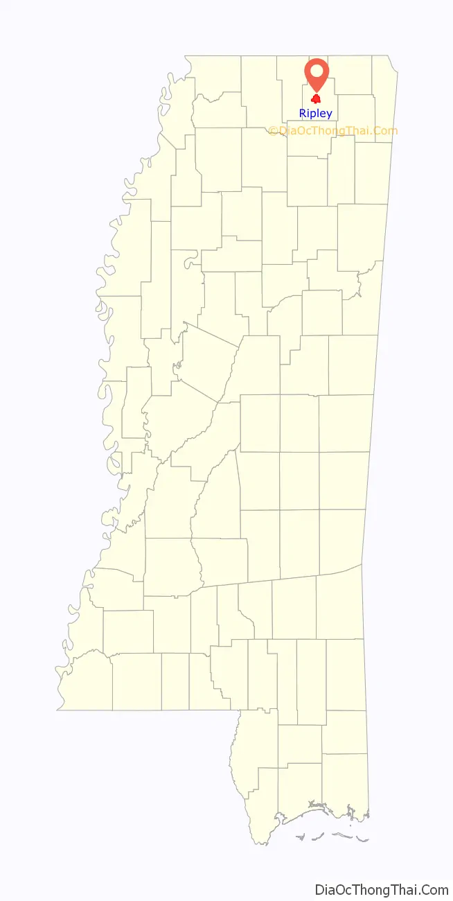
| State: | Mississippi |
| County: | Tippah County |
| Elevation: | 499 ft (152 m) |
| Total Area: | 11.46 sq mi (29.67 km²) |
| Land Area: | 11.43 sq mi (29.60 km²) |
| Water Area: | 0.03 sq mi (0.07 km²) |
| Total Population: | 5,462 |
| Population Density: | 477.87/sq mi (184.51/km²) |
| ZIP code: | 38663 |
| Area code: | 662 |
| FIPS code: | 2862600 |
| GNISfeature ID: | 0691645 |
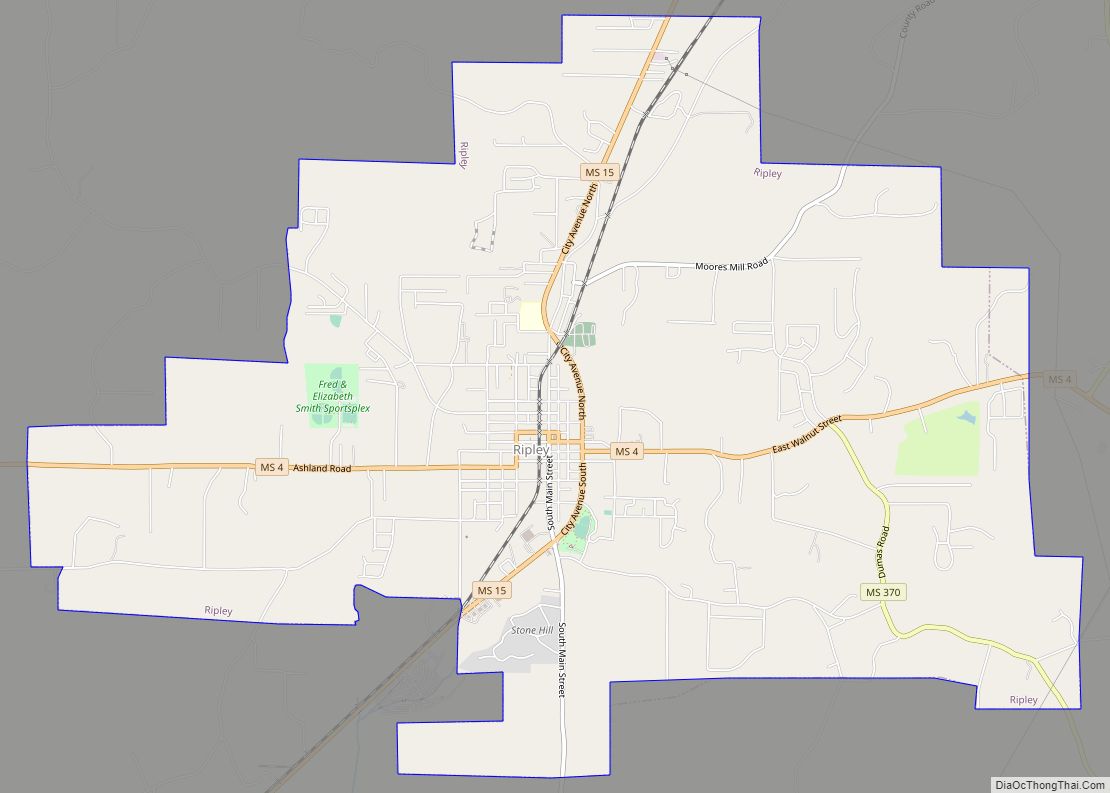
Online Interactive Map
Click on ![]() to view map in "full screen" mode.
to view map in "full screen" mode.
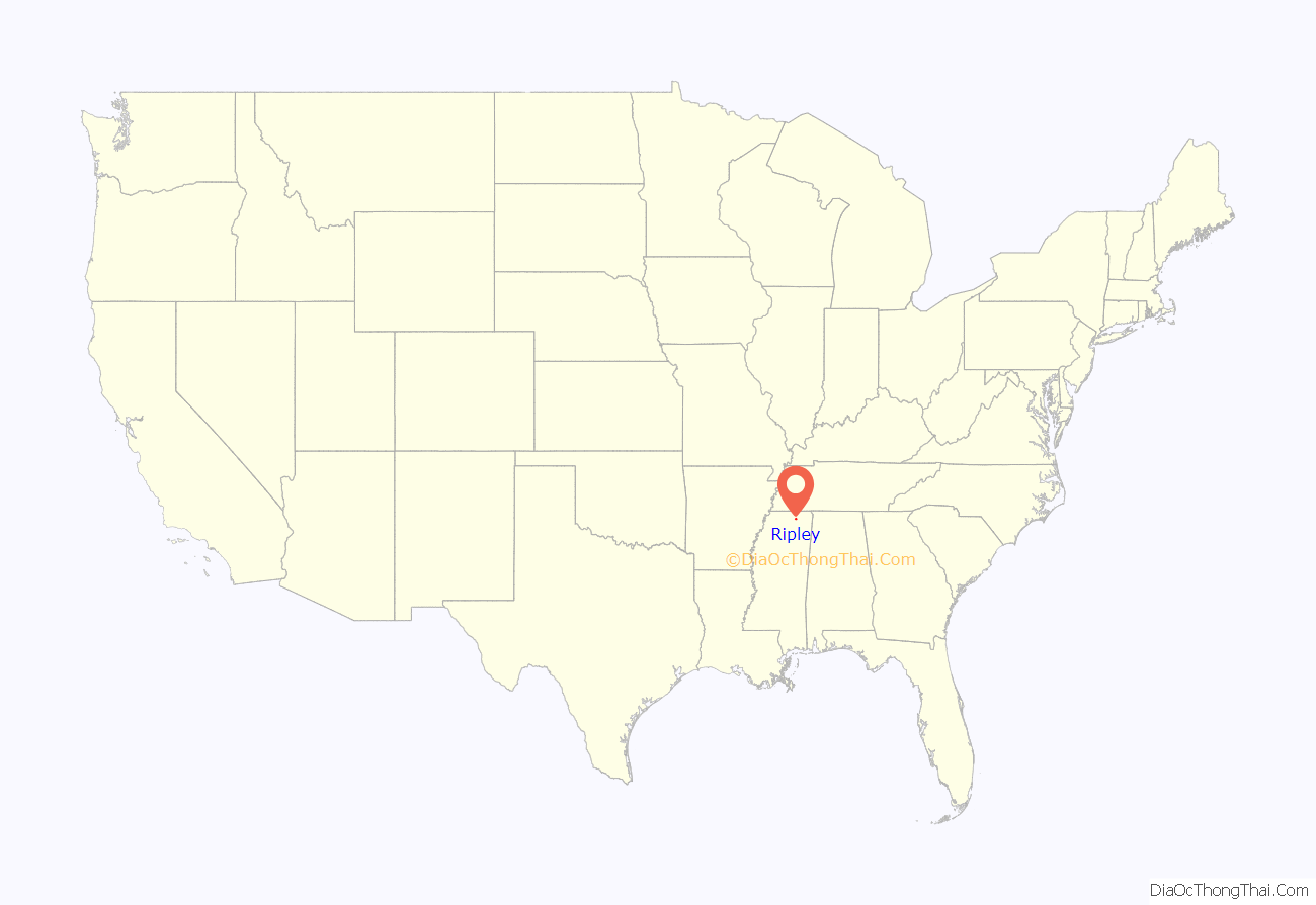
Ripley location map. Where is Ripley city?
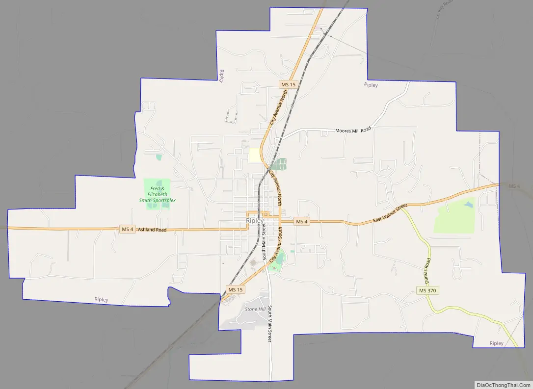
Ripley Road Map
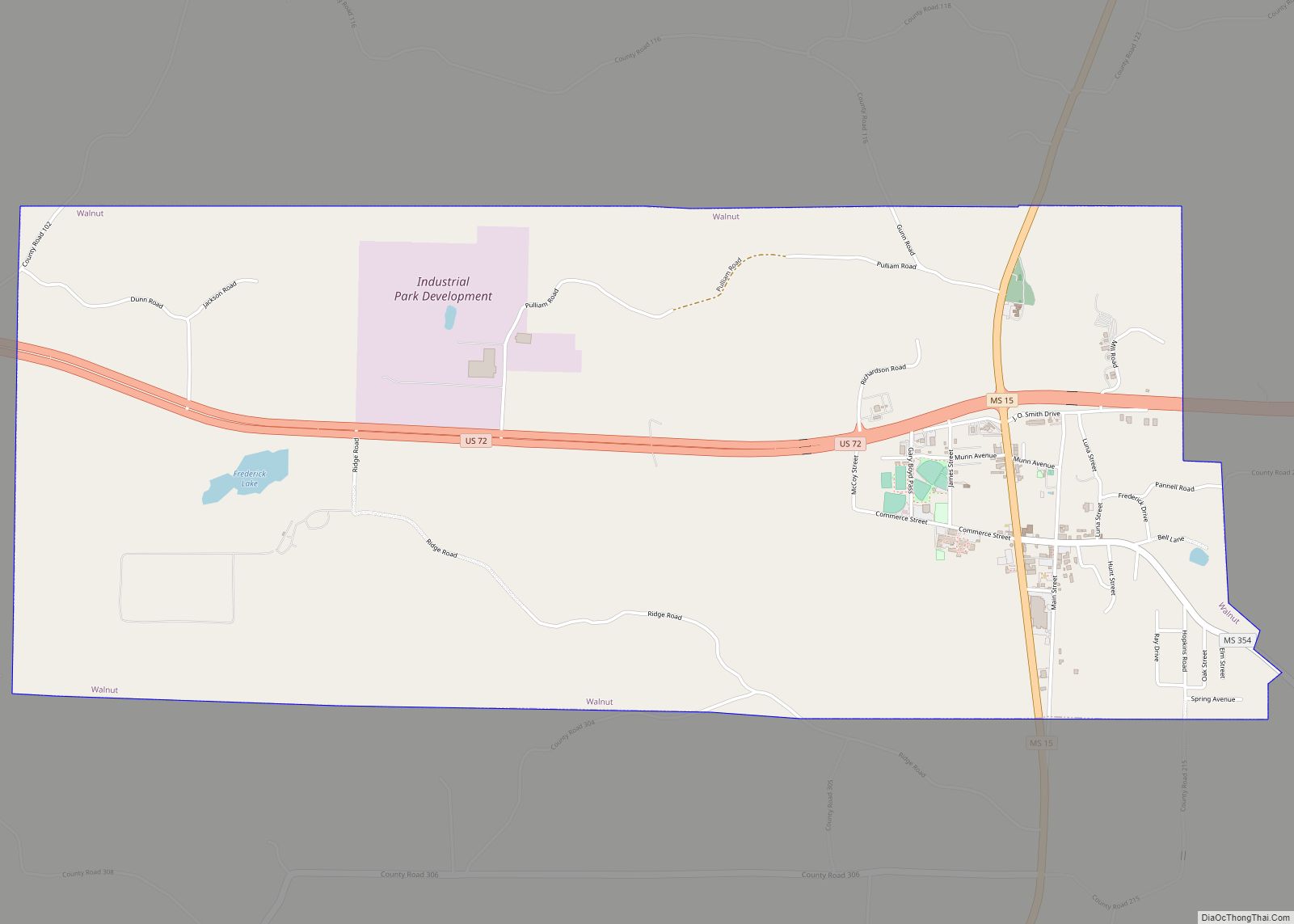
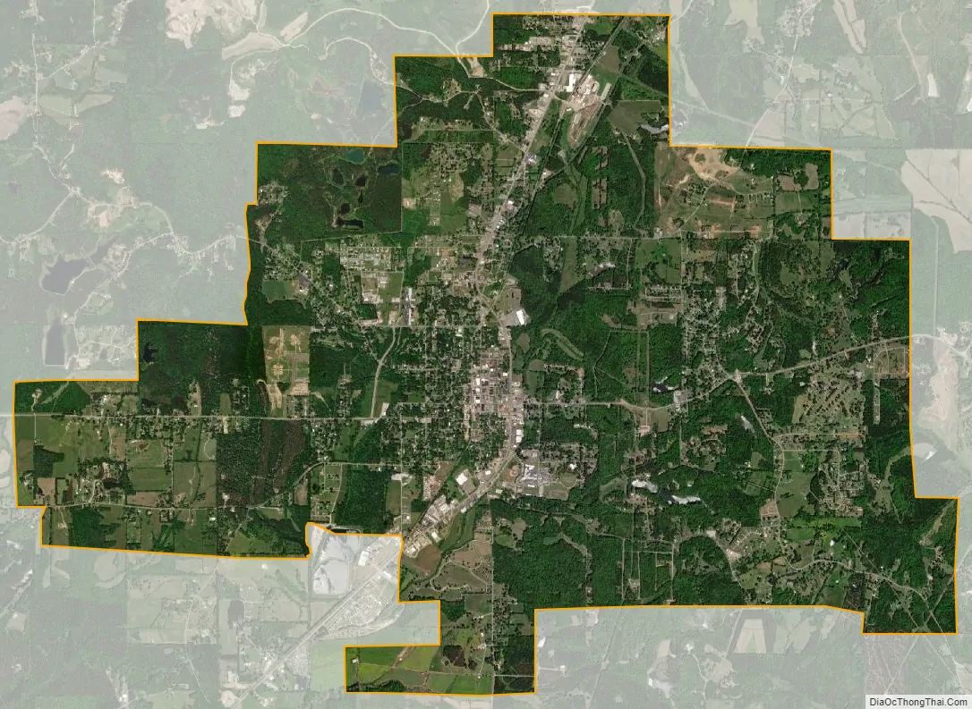
Ripley city Satellite Map
Geography
Ripley is located at 34°43′57″N 88°56′49″W / 34.73250°N 88.94694°W / 34.73250; -88.94694 (34.732363, -88.947055).
According to the United States Census Bureau, the city has a total area of 11.5 square miles (30 km), of which 11.5 square miles (30 km) is land and 0.04-square-mile (0.10 km) (0.35%) is water.
See also
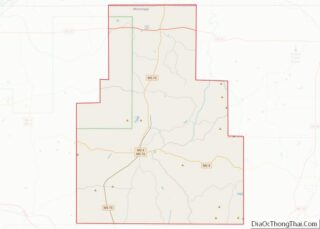
Map of Mississippi State and its subdivision:- Adams
- Alcorn
- Amite
- Attala
- Benton
- Bolivar
- Calhoun
- Carroll
- Chickasaw
- Choctaw
- Claiborne
- Clarke
- Clay
- Coahoma
- Copiah
- Covington
- Desoto
- Forrest
- Franklin
- George
- Greene
- Grenada
- Hancock
- Harrison
- Hinds
- Holmes
- Humphreys
- Issaquena
- Itawamba
- Jackson
- Jasper
- Jefferson
- Jefferson Davis
- Jones
- Kemper
- Lafayette
- Lamar
- Lauderdale
- Lawrence
- Leake
- Lee
- Leflore
- Lincoln
- Lowndes
- Madison
- Marion
- Marshall
- Monroe
- Montgomery
- Neshoba
- Newton
- Noxubee
- Oktibbeha
- Panola
- Pearl River
- Perry
- Pike
- Pontotoc
- Prentiss
- Quitman
- Rankin
- Scott
- Sharkey
- Simpson
- Smith
- Stone
- Sunflower
- Tallahatchie
- Tate
- Tippah
- Tishomingo
- Tunica
- Union
- Walthall
- Warren
- Washington
- Wayne
- Webster
- Wilkinson
- Winston
- Yalobusha
- Yazoo
- Alabama
- Alaska
- Arizona
- Arkansas
- California
- Colorado
- Connecticut
- Delaware
- District of Columbia
- Florida
- Georgia
- Hawaii
- Idaho
- Illinois
- Indiana
- Iowa
- Kansas
- Kentucky
- Louisiana
- Maine
- Maryland
- Massachusetts
- Michigan
- Minnesota
- Mississippi
- Missouri
- Montana
- Nebraska
- Nevada
- New Hampshire
- New Jersey
- New Mexico
- New York
- North Carolina
- North Dakota
- Ohio
- Oklahoma
- Oregon
- Pennsylvania
- Rhode Island
- South Carolina
- South Dakota
- Tennessee
- Texas
- Utah
- Vermont
- Virginia
- Washington
- West Virginia
- Wisconsin
- Wyoming