Ridgeland is a city in Madison County, Mississippi, United States. The population was 24,340 at the 2020 census. It is part of the Jackson, Mississippi metropolitan area.
| Name: | Ridgeland city |
|---|---|
| LSAD Code: | 25 |
| LSAD Description: | city (suffix) |
| State: | Mississippi |
| County: | Madison County |
| Elevation: | 358 ft (109 m) |
| Total Area: | 23.15 sq mi (59.96 km²) |
| Land Area: | 21.38 sq mi (55.37 km²) |
| Water Area: | 1.77 sq mi (4.59 km²) |
| Total Population: | 24,340 |
| Population Density: | 1,138.45/sq mi (439.55/km²) |
| ZIP code: | 39157, 39158 |
| Area code: | 601 |
| FIPS code: | 2862520 |
| GNISfeature ID: | 0676656 |
| Website: | http://www.ridgelandms.org/ |
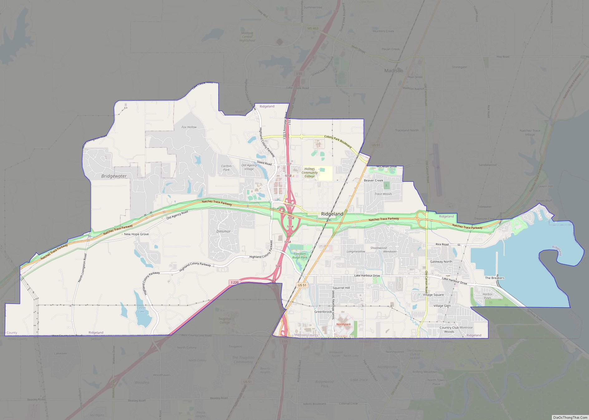
Online Interactive Map
Click on ![]() to view map in "full screen" mode.
to view map in "full screen" mode.
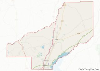
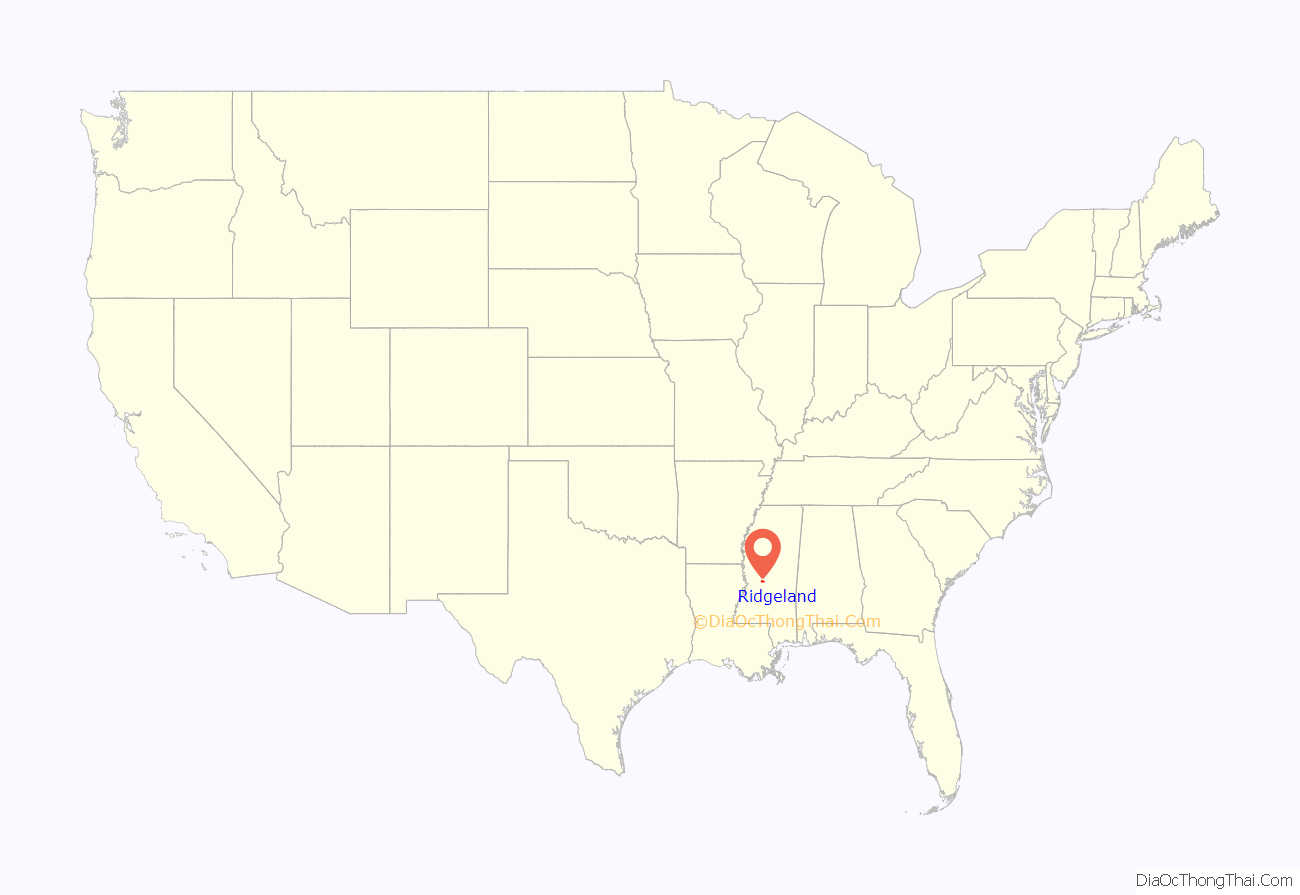
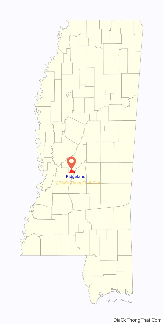
Ridgeland location map. Where is Ridgeland city?
History
In 1805, the Choctaw Indian Agency, headed by Silas Dinsmoor, was located in what is now known as Ridgeland. There is also a neighborhood called Dinsmor in Ridgeland. The structure was then called Turner Brashear’s Stand until about 1850. It was adapted for use as a hotel named the King’s Inn. During the American Civil War, King’s Inn was used as a headquarters by General Stephen Lee. Afterward, it again operated as a hotel until 1896, when it was destroyed by fire.
In 1853, James B. Yellowley founded the community of Yellowley’s Crossing (later named Jessamine after his wife). In 1896, Edward Treakle and Gordon Nichols, two real estate developers from Chicago, purchased the land from Yellowley and established the Highland Colony Company. They created plans for a town to be named Ridgeland and launched an advertising campaign to entice people from the northern United States to move south. Agriculture was the community’s dominant revenue source, with pears and strawberries as the leading crops grown for sale.
In the early 20th century, Ridgeland was home to a hotel, sawmill, and a canning company. The main business section of Ridgeland was along Jackson Street, due to the Illinois Central Railroad located on the street. In 1910 a two-room school was created and the schools combined with those of Madison by 1925. In 1961, Ridgeland was predicted to grow a lot more, which turned out to be correct.
Northpark Mall opened in 1984 and brought more growth into the area. Business in Ridgeland improved more in the 1990s when Highland Colony Parkway brought new businesses to the area.
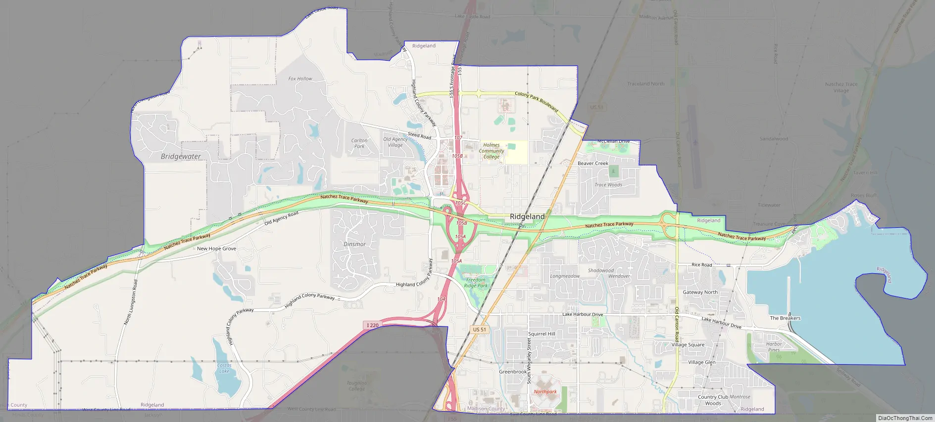
Ridgeland Road Map
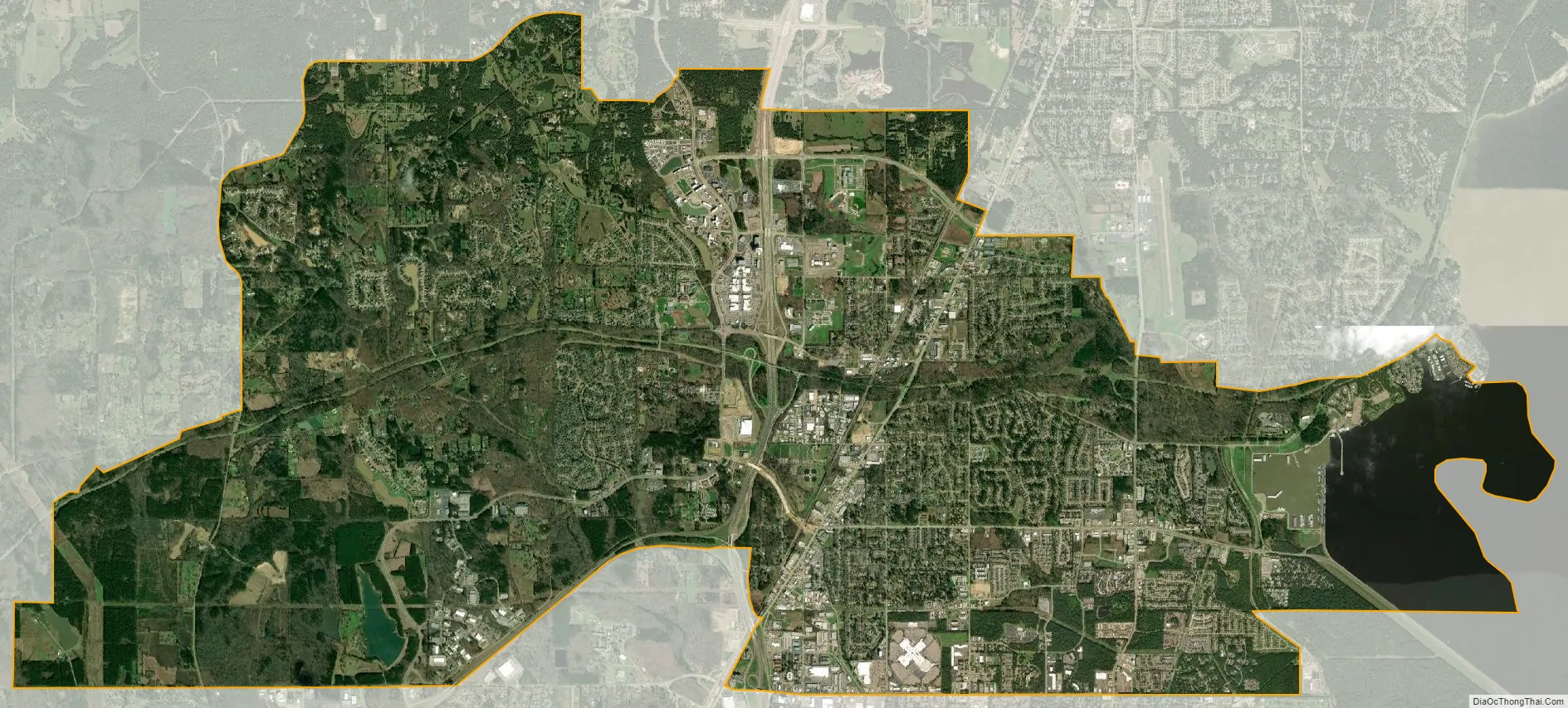
Ridgeland city Satellite Map
Geography
Ridgeland is located between Madison to the north and Jackson to the south. This suburban city is adjacent to the Ross Barnett Reservoir.
According to the United States Census Bureau, the city has a total area of 17.7 square miles (46 km), of which 15.9 square miles (41 km) is land and 1.8 square miles (4.7 km) (10.16%) is water, mostly due to the location of the Ross Barnett Reservoir.
See also
Map of Mississippi State and its subdivision:- Adams
- Alcorn
- Amite
- Attala
- Benton
- Bolivar
- Calhoun
- Carroll
- Chickasaw
- Choctaw
- Claiborne
- Clarke
- Clay
- Coahoma
- Copiah
- Covington
- Desoto
- Forrest
- Franklin
- George
- Greene
- Grenada
- Hancock
- Harrison
- Hinds
- Holmes
- Humphreys
- Issaquena
- Itawamba
- Jackson
- Jasper
- Jefferson
- Jefferson Davis
- Jones
- Kemper
- Lafayette
- Lamar
- Lauderdale
- Lawrence
- Leake
- Lee
- Leflore
- Lincoln
- Lowndes
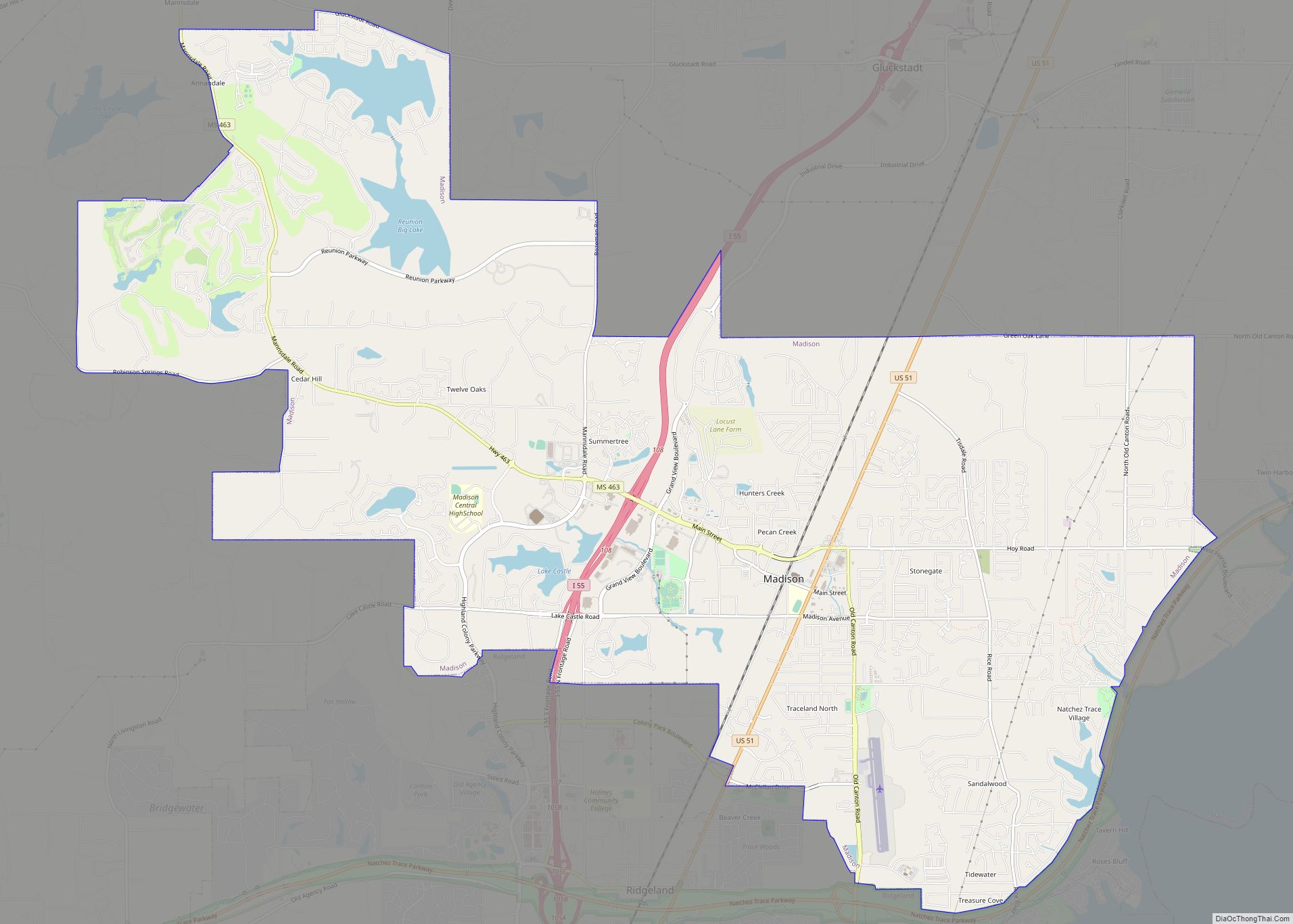
- Madison
- Marion
- Marshall
- Monroe
- Montgomery
- Neshoba
- Newton
- Noxubee
- Oktibbeha
- Panola
- Pearl River
- Perry
- Pike
- Pontotoc
- Prentiss
- Quitman
- Rankin
- Scott
- Sharkey
- Simpson
- Smith
- Stone
- Sunflower
- Tallahatchie
- Tate
- Tippah
- Tishomingo
- Tunica
- Union
- Walthall
- Warren
- Washington
- Wayne
- Webster
- Wilkinson
- Winston
- Yalobusha
- Yazoo
- Alabama
- Alaska
- Arizona
- Arkansas
- California
- Colorado
- Connecticut
- Delaware
- District of Columbia
- Florida
- Georgia
- Hawaii
- Idaho
- Illinois
- Indiana
- Iowa
- Kansas
- Kentucky
- Louisiana
- Maine
- Maryland
- Massachusetts
- Michigan
- Minnesota
- Mississippi
- Missouri
- Montana
- Nebraska
- Nevada
- New Hampshire
- New Jersey
- New Mexico
- New York
- North Carolina
- North Dakota
- Ohio
- Oklahoma
- Oregon
- Pennsylvania
- Rhode Island
- South Carolina
- South Dakota
- Tennessee
- Texas
- Utah
- Vermont
- Virginia
- Washington
- West Virginia
- Wisconsin
- Wyoming