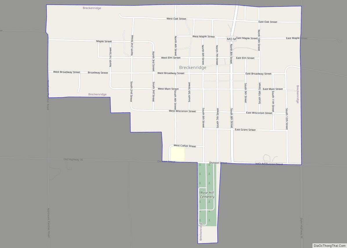
Breckenridge is a city in northeast Caldwell County, Missouri, and is part of the Kansas City metropolitan area with the United States. The population was 258 at the 2020 census. Breckenridge city overview: Name: Breckenridge city LSAD Code: 25 LSAD Description: city (suffix) State: Missouri County: Caldwell County Elevation: 925 ft (282 m) Total Area: 0.55 sq mi (1.43 km²) ... Read more
Missouri Cities and Places
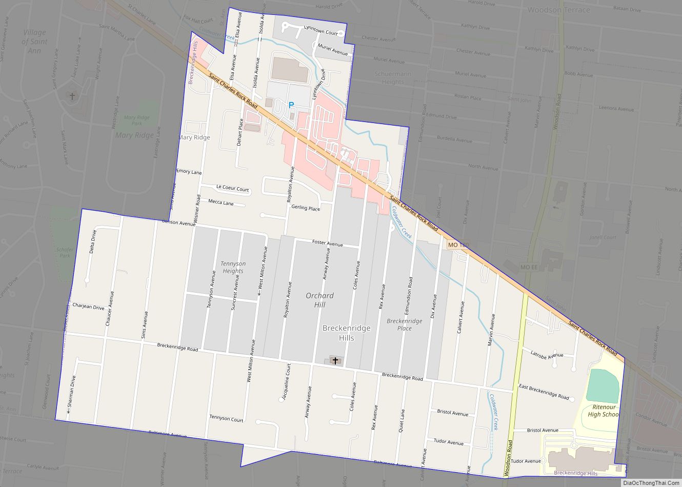
Breckenridge Hills is a city in St. Louis County, Missouri, United States. As of the 2010 census, the city population was 4,746. Breckenridge Hills city overview: Name: Breckenridge Hills city LSAD Code: 25 LSAD Description: city (suffix) State: Missouri County: St. Louis County Elevation: 623 ft (190 m) Total Area: 0.80 sq mi (2.07 km²) Land Area: 0.80 sq mi (2.07 km²) Water ... Read more
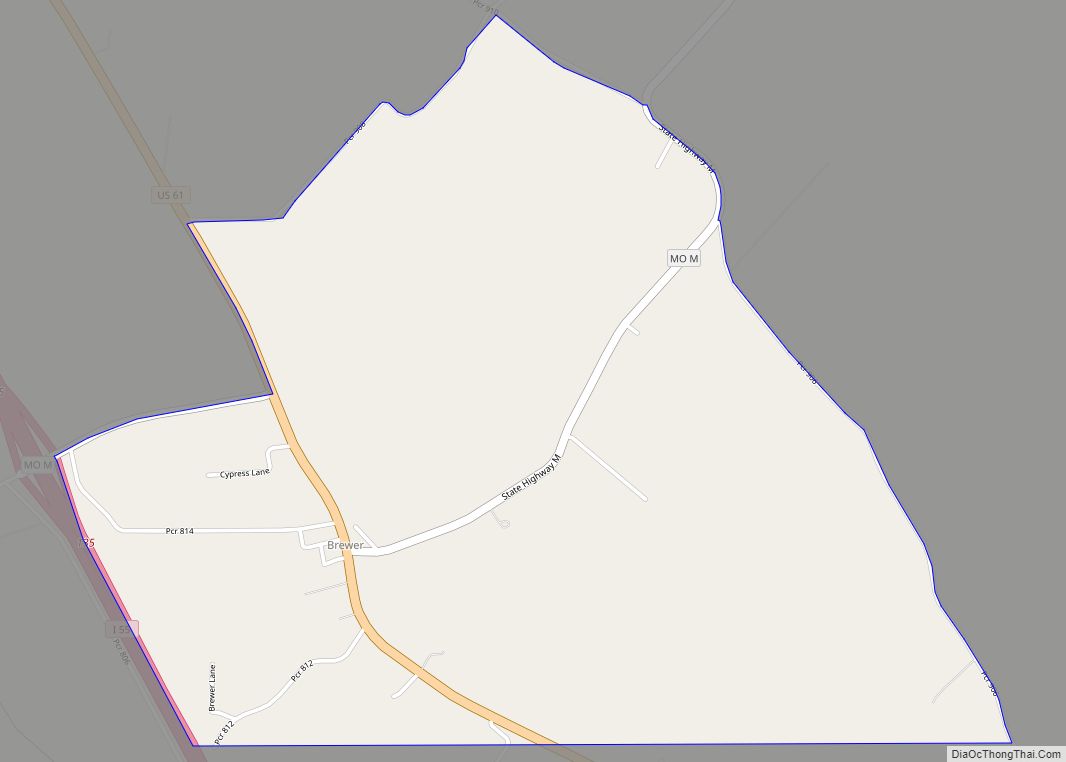
Brewer is an unincorporated community and census-designated place in Saline Township, Perry County, Missouri, United States, which is located northwest of Perryville. Brewer CDP overview: Name: Brewer CDP LSAD Code: 57 LSAD Description: CDP (suffix) State: Missouri County: Perry County Elevation: 584 ft (178 m) Total Area: 2.34 sq mi (6.06 km²) Land Area: 2.34 sq mi (6.06 km²) Water Area: 0.00 sq mi (0.00 km²) ... Read more
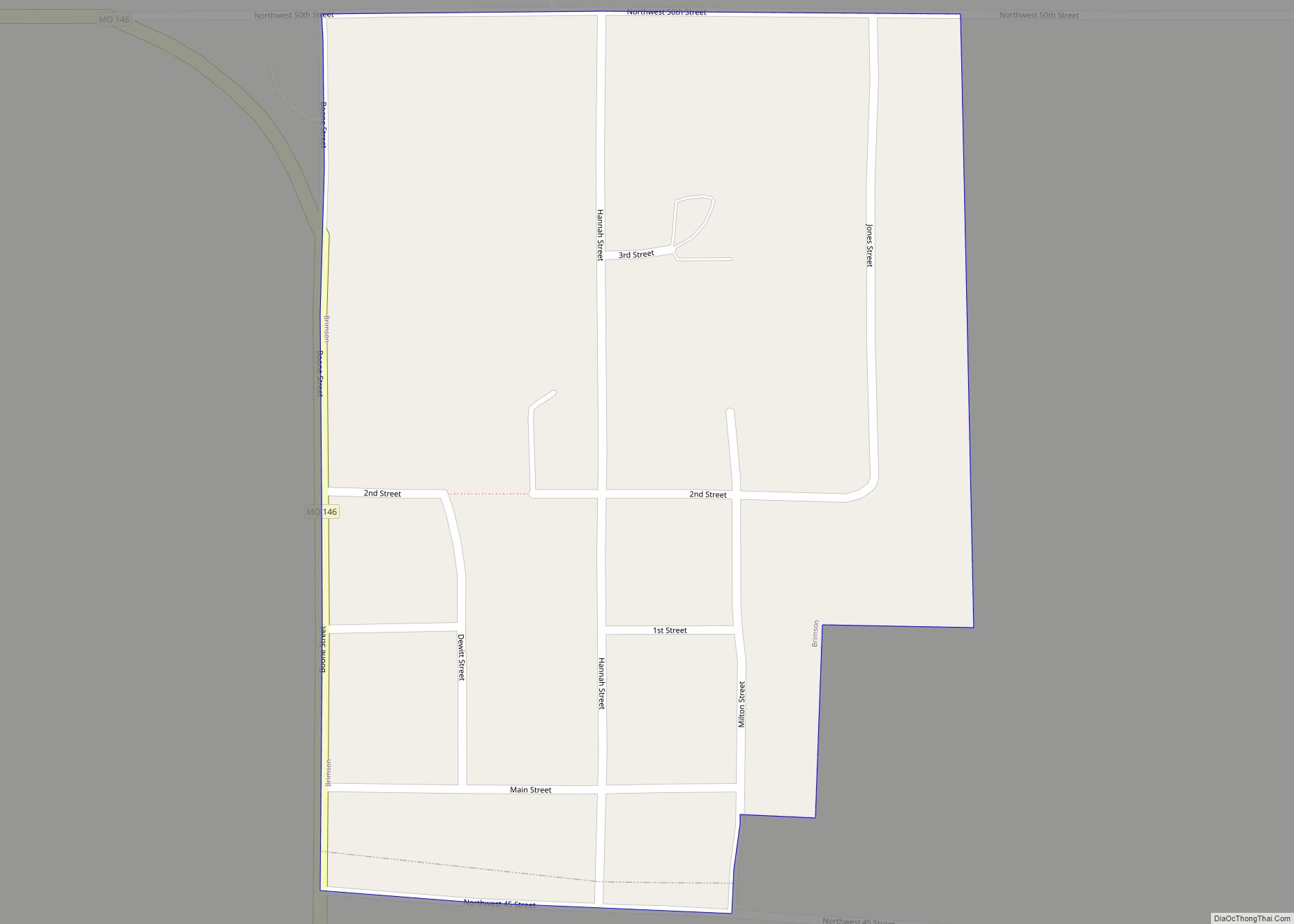
Brimson is a village in western Grundy County, Missouri, United States. The population was 50 at the 2020 census. Brimson village overview: Name: Brimson village LSAD Code: 47 LSAD Description: village (suffix) State: Missouri County: Grundy County Elevation: 791 ft (241 m) Total Area: 0.09 sq mi (0.23 km²) Land Area: 0.09 sq mi (0.23 km²) Water Area: 0.00 sq mi (0.00 km²) Total Population: 50 ... Read more
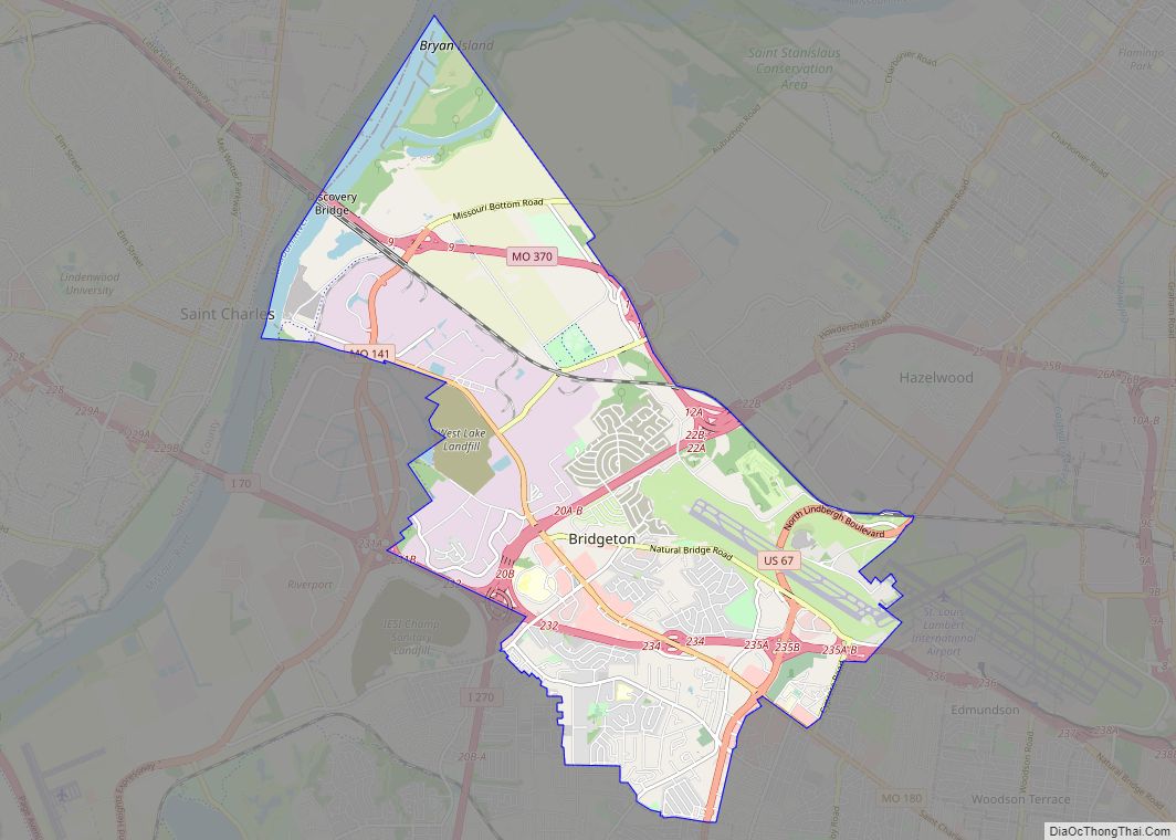
Bridgeton is a second-ring suburb of Greater St. Louis in northwestern St. Louis County, Missouri, United States. Bridgeton is located at the intersection of the St. Louis outer belt and I-70. Bridgeton serves as the primary transport hub within Greater St. Louis. The population at the 2020 census was 11,445. Portions of St. Louis Lambert ... Read more
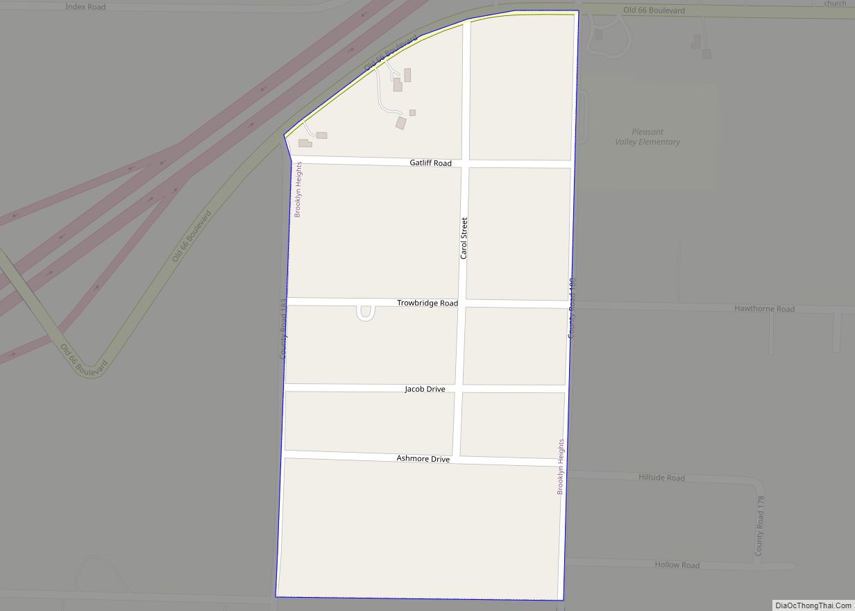
Brooklyn Heights is a village in Jasper County, Missouri, United States. The population was 101 at the 2020 census. It is part of the Joplin, Missouri Metropolitan Statistical Area. Brooklyn Heights town overview: Name: Brooklyn Heights town LSAD Code: 43 LSAD Description: town (suffix) State: Missouri County: Jasper County Elevation: 971 ft (296 m) Total Area: 0.12 sq mi ... Read more
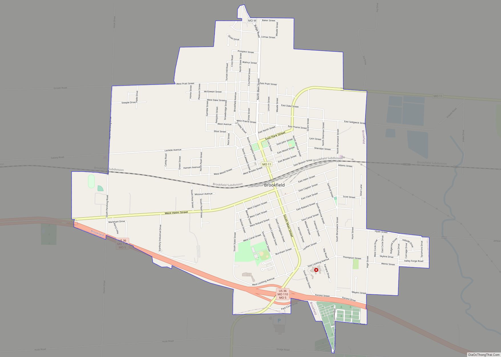
Brookfield is a city in Linn County, Missouri, United States. The population was 4,111 at the 2020 census. Brookfield city overview: Name: Brookfield city LSAD Code: 25 LSAD Description: city (suffix) State: Missouri County: Linn County Elevation: 764 ft (233 m) Total Area: 4.29 sq mi (11.11 km²) Land Area: 4.27 sq mi (11.07 km²) Water Area: 0.02 sq mi (0.04 km²) Total Population: 4,111 Population ... Read more
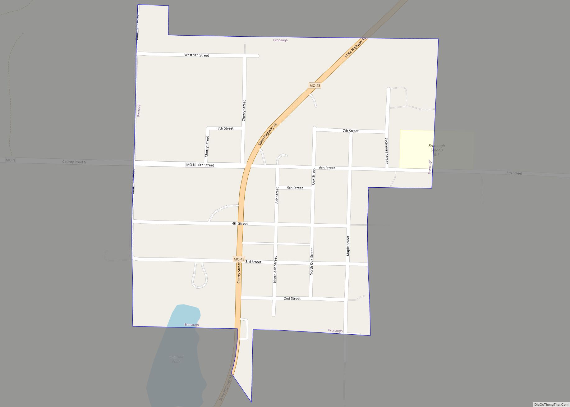
Bronaugh is a city in southwest Vernon County, Missouri, United States. The population was 249 at the 2010 census. Bronaugh city overview: Name: Bronaugh city LSAD Code: 25 LSAD Description: city (suffix) State: Missouri County: Vernon County Elevation: 899 ft (274 m) Total Area: 0.29 sq mi (0.75 km²) Land Area: 0.28 sq mi (0.74 km²) Water Area: 0.00 sq mi (0.01 km²) Total Population: 163 ... Read more
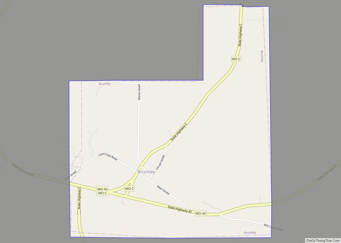
Brumley is a town in Miller County, Missouri, United States. The population was 91 at the 2010 census. Brumley town overview: Name: Brumley town LSAD Code: 43 LSAD Description: town (suffix) State: Missouri County: Miller County Elevation: 820 ft (250 m) Total Area: 0.55 sq mi (1.43 km²) Land Area: 0.55 sq mi (1.43 km²) Water Area: 0.00 sq mi (0.00 km²) Total Population: 69 Population ... Read more
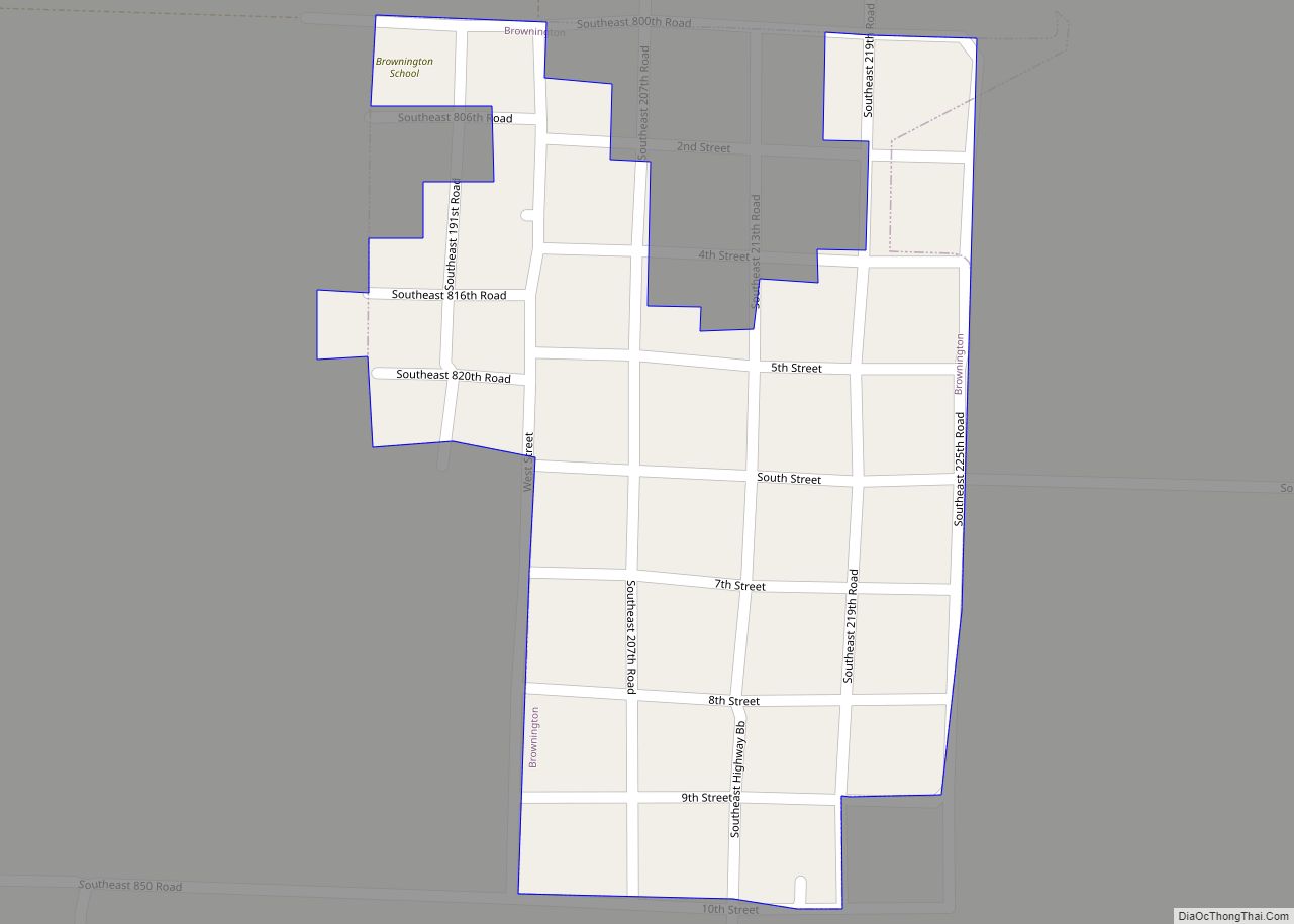
Brownington is a town in Henry County, Missouri, United States. The population was 107 at the 2010 census. Brownington town overview: Name: Brownington town LSAD Code: 43 LSAD Description: town (suffix) State: Missouri County: Henry County Elevation: 748 ft (228 m) Total Area: 0.12 sq mi (0.31 km²) Land Area: 0.12 sq mi (0.31 km²) Water Area: 0.00 sq mi (0.00 km²) Total Population: 71 Population ... Read more
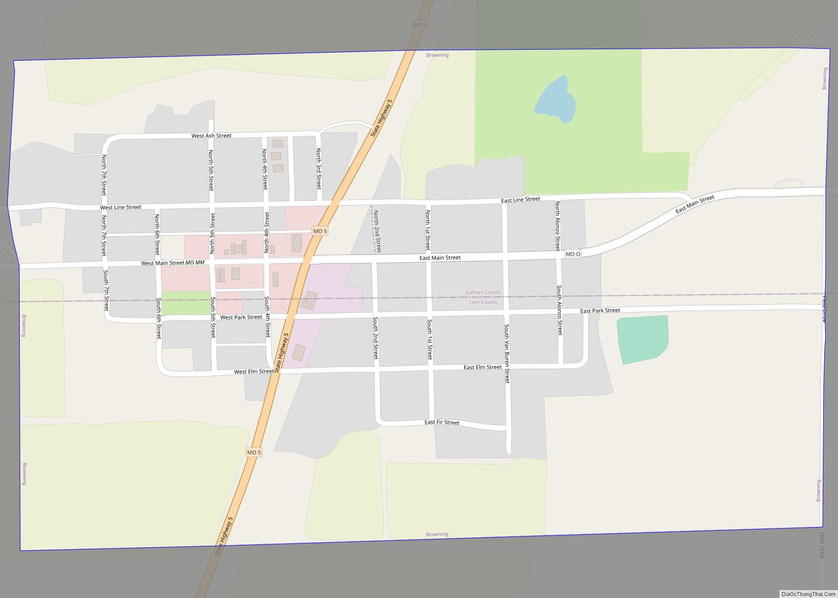
Browning is a city in Linn and Sullivan counties in the U.S. state of Missouri. The population was 219 at the 2020 census. Browning city overview: Name: Browning city LSAD Code: 25 LSAD Description: city (suffix) State: Missouri County: Linn County, Sullivan County Elevation: 774 ft (236 m) Total Area: 0.53 sq mi (1.36 km²) Land Area: 0.52 sq mi (1.35 km²) Water ... Read more
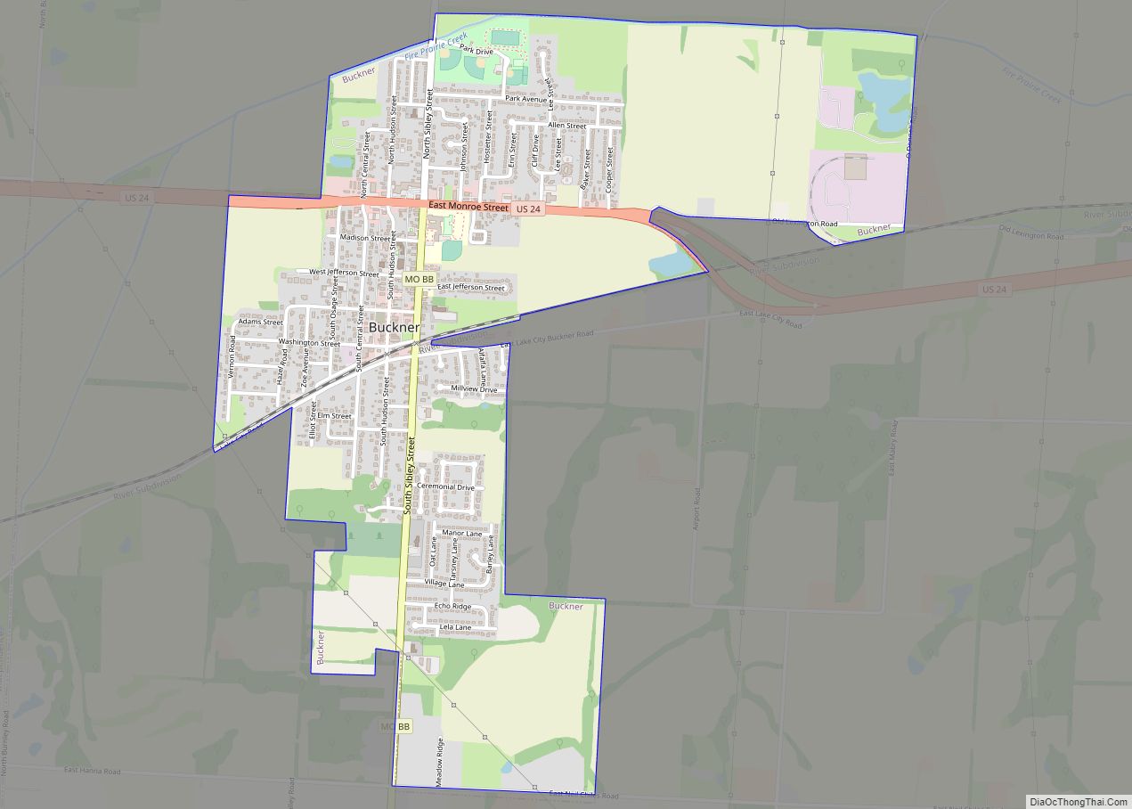
Buckner is a city in Jackson County, Missouri, United States. The population was 3,076 at the 2010 census. For decades it was best known for TV and radio commercials promoting local automobile dealership Lasater Ford, run by the Lasater brothers, Wilson and Milton and later Halverson Ford. It is part of the Kansas City metropolitan ... Read more
