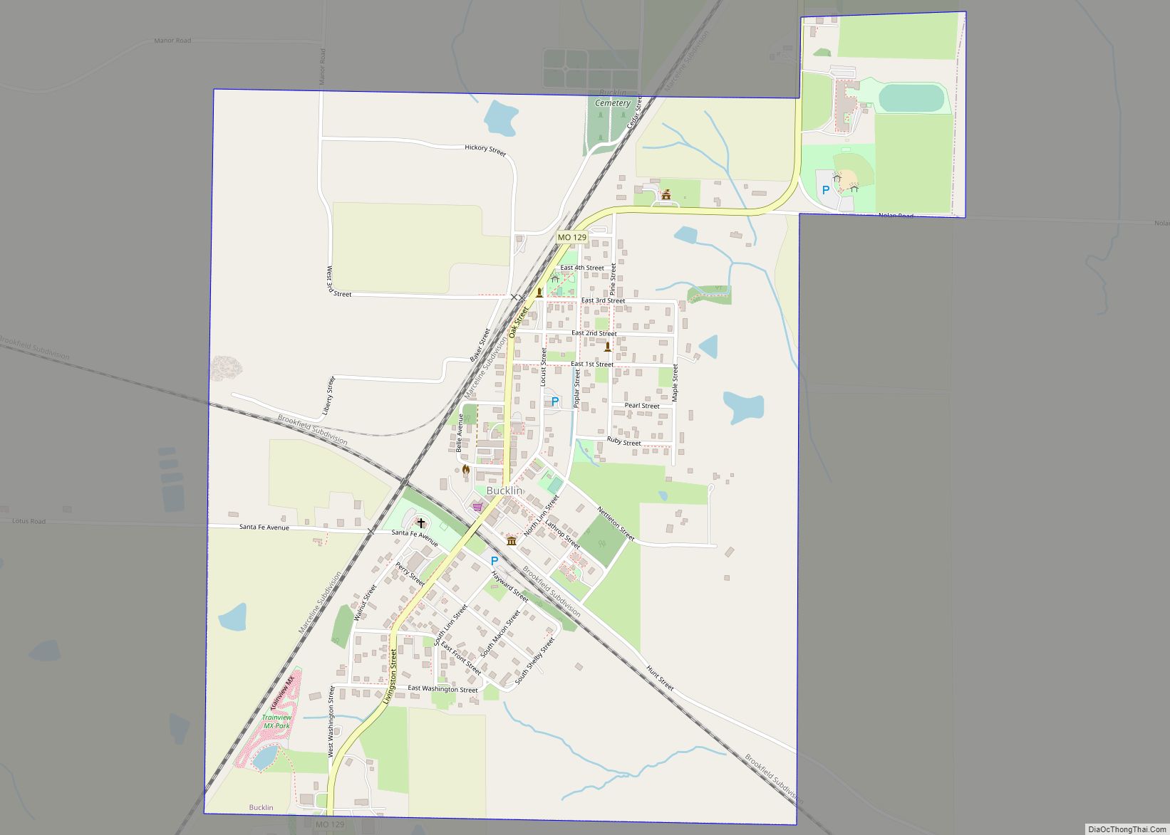
Bucklin is a city in southeast Linn County, Missouri, United States. The population was 413 at the 2020 census. Bucklin city overview: Name: Bucklin city LSAD Code: 25 LSAD Description: city (suffix) State: Missouri County: Linn County Elevation: 906 ft (276 m) Total Area: 1.18 sq mi (3.06 km²) Land Area: 1.18 sq mi (3.06 km²) Water Area: 0.00 sq mi (0.00 km²) Total Population: 413 ... Read more
Missouri Cities and Places
Brunswick is a city in Chariton County, Missouri, United States. Its population was 801 at the 2020 census. Brunswick, by official state proclamation, is the Pecan Capital of Missouri. The Missouri Farmers Association (MFA Incorporated) was founded in Brunswick in 1914. Brunswick city overview: Name: Brunswick city LSAD Code: 25 LSAD Description: city (suffix) State: ... Read more
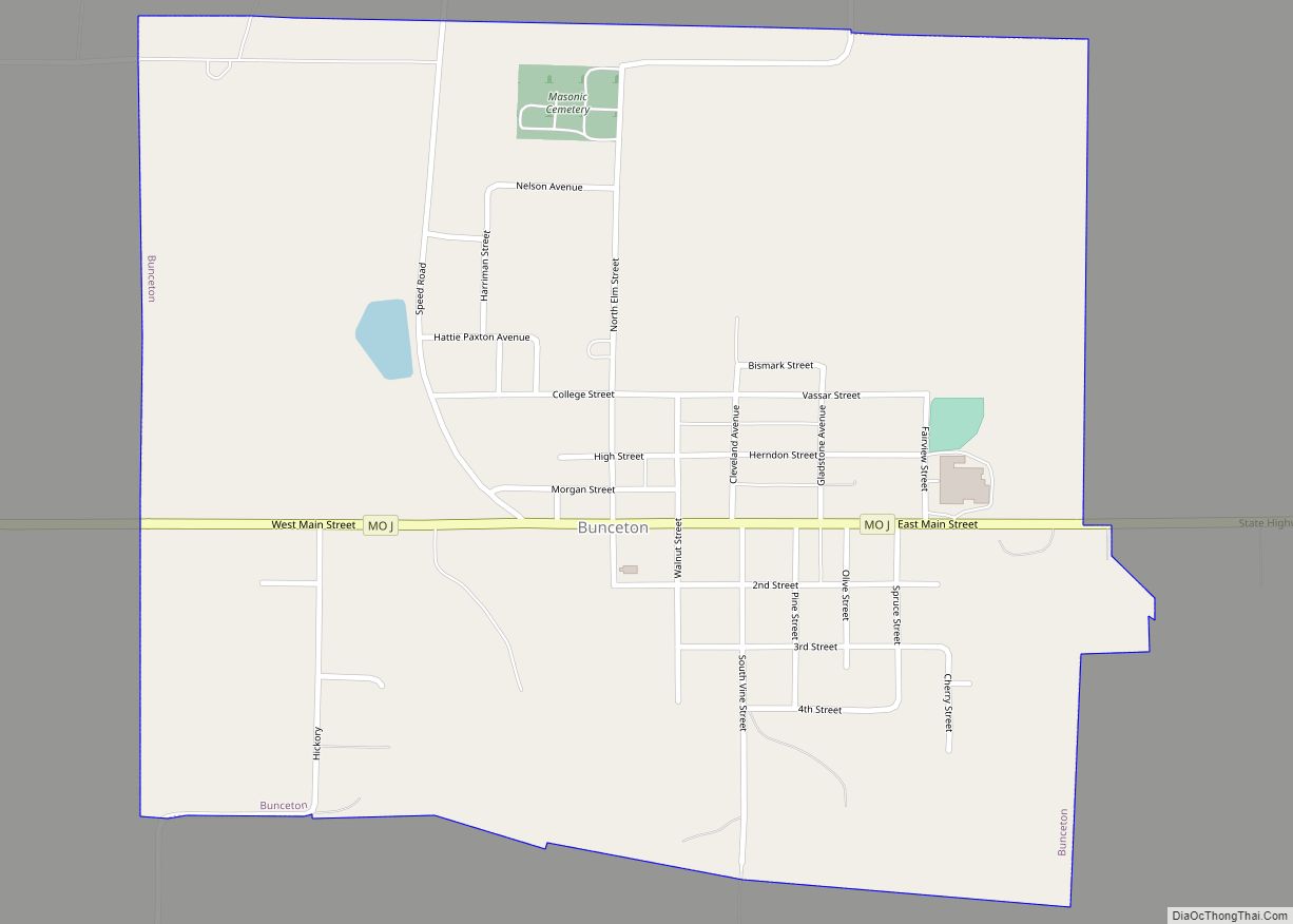
Bunceton is a city in Cooper County, Missouri, United States. The population was 354 at the 2010 census. Bunceton city overview: Name: Bunceton city LSAD Code: 25 LSAD Description: city (suffix) State: Missouri County: Cooper County Elevation: 807 ft (246 m) Total Area: 0.95 sq mi (2.45 km²) Land Area: 0.94 sq mi (2.45 km²) Water Area: 0.00 sq mi (0.01 km²) Total Population: 334 Population ... Read more
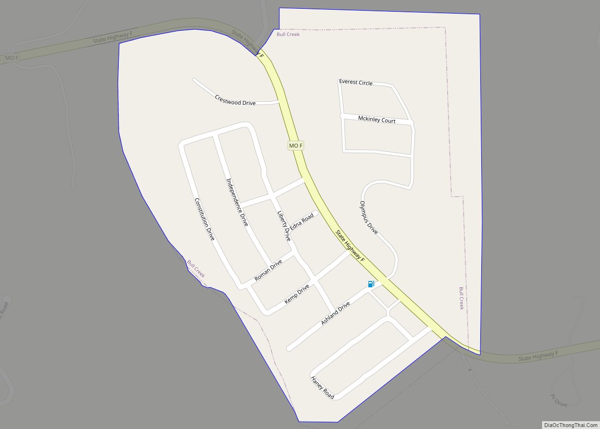
Bull Creek is a village in northwest Taney County, Missouri, United States. The population was 426 at the 2020 census. It is part of the Branson, Missouri Micropolitan Statistical Area. Bull Creek village overview: Name: Bull Creek village LSAD Code: 47 LSAD Description: village (suffix) State: Missouri County: Taney County Elevation: 722 ft (220 m) Total Area: ... Read more
Buffalo is a city in and the county seat of Dallas County, Missouri, United States. The population was 3,290 at the 2020 census. Buffalo is part of the Springfield, Missouri Metropolitan Statistical Area. Buffalo city overview: Name: Buffalo city LSAD Code: 25 LSAD Description: city (suffix) State: Missouri County: Dallas County Elevation: 1,148 ft (350 m) Total ... Read more
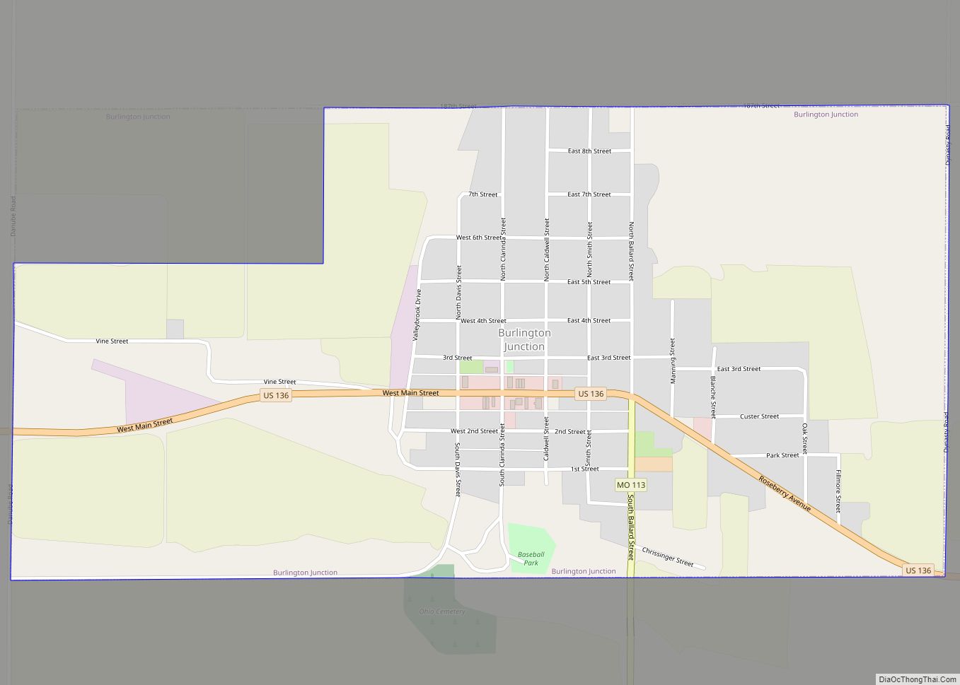
Burlington Junction is a city in Nodaway County, Missouri, United States. The population was 537 at the 2010 census. Burlington Junction city overview: Name: Burlington Junction city LSAD Code: 25 LSAD Description: city (suffix) State: Missouri County: Nodaway County Elevation: 971 ft (296 m) Total Area: 1.00 sq mi (2.59 km²) Land Area: 1.00 sq mi (2.59 km²) Water Area: 0.00 sq mi (0.00 km²) Total ... Read more
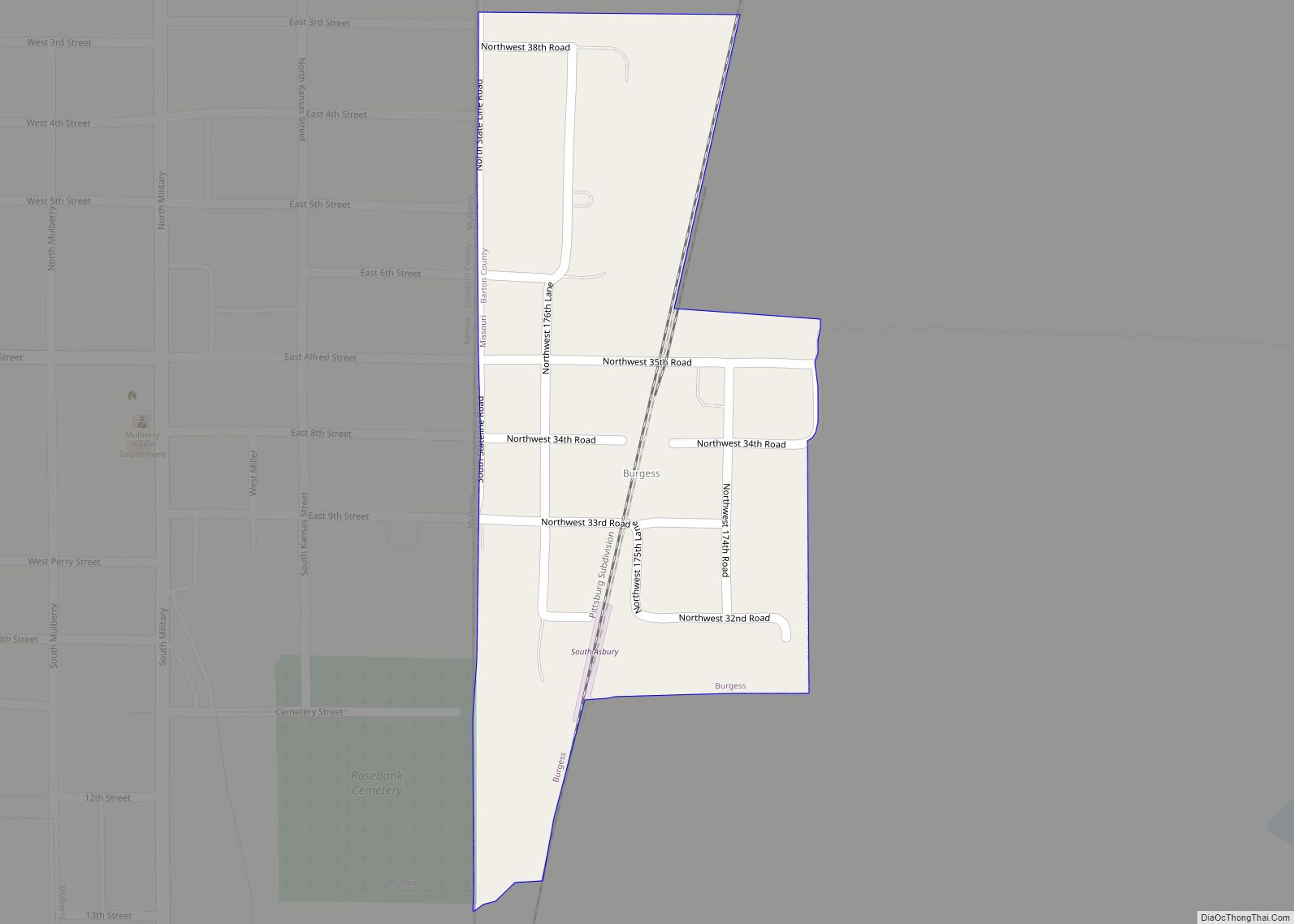
Burgess is a census-designated place and former village in Barton County, Missouri, United States. The population was 54 at the 2020 census. Burgess CDP overview: Name: Burgess CDP LSAD Code: 57 LSAD Description: CDP (suffix) State: Missouri County: Barton County Elevation: 889 ft (271 m) Total Area: 0.11 sq mi (0.29 km²) Land Area: 0.11 sq mi (0.29 km²) Water Area: 0.00 sq mi (0.00 km²) ... Read more
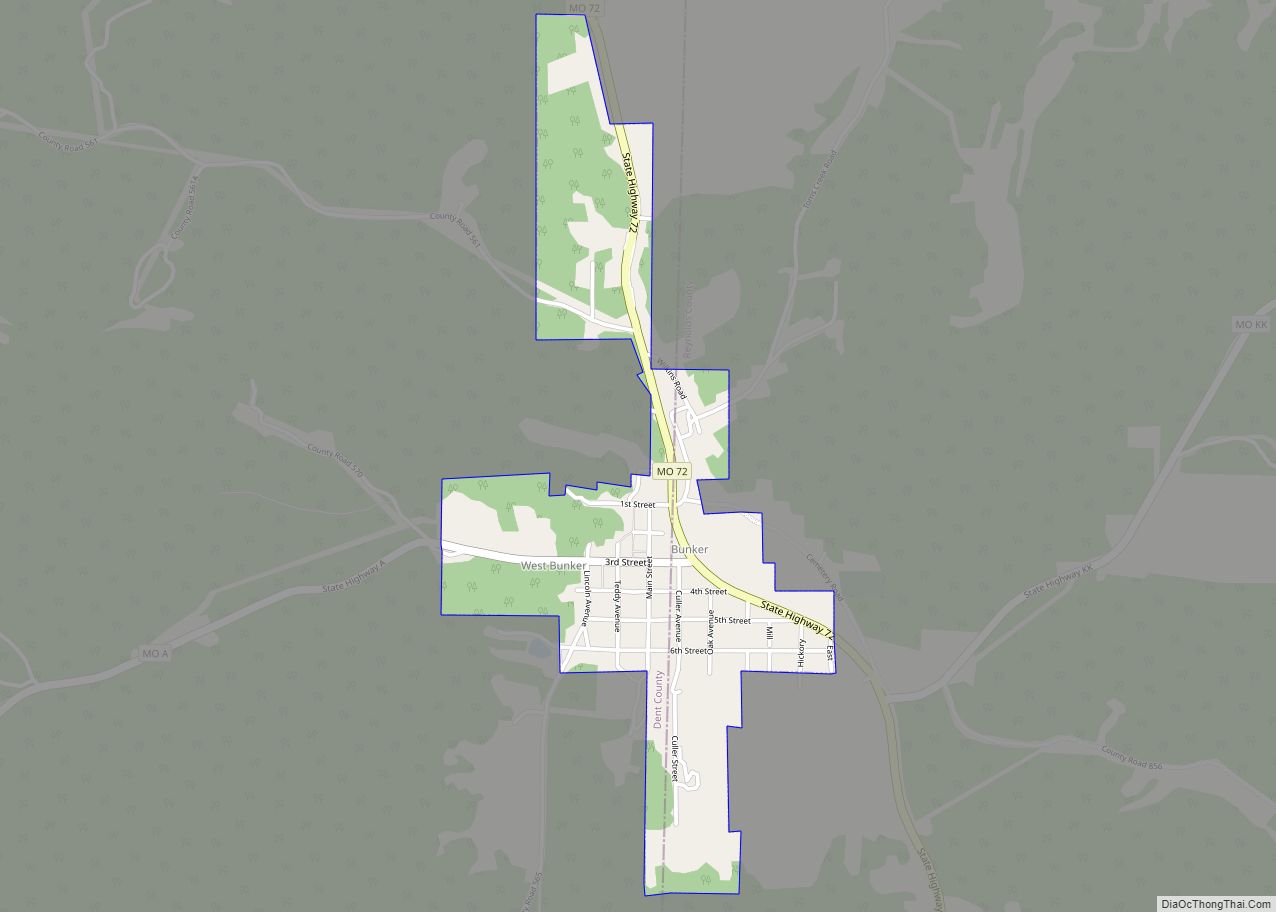
Bunker is a town in Dent and Reynolds counties in the U.S. state of Missouri. The population was 295 at the 2020 census. Bunker city overview: Name: Bunker city LSAD Code: 25 LSAD Description: city (suffix) State: Missouri County: Dent County, Reynolds County Elevation: 1,381 ft (421 m) Total Area: 0.66 sq mi (1.72 km²) Land Area: 0.66 sq mi (1.72 km²) Water ... Read more
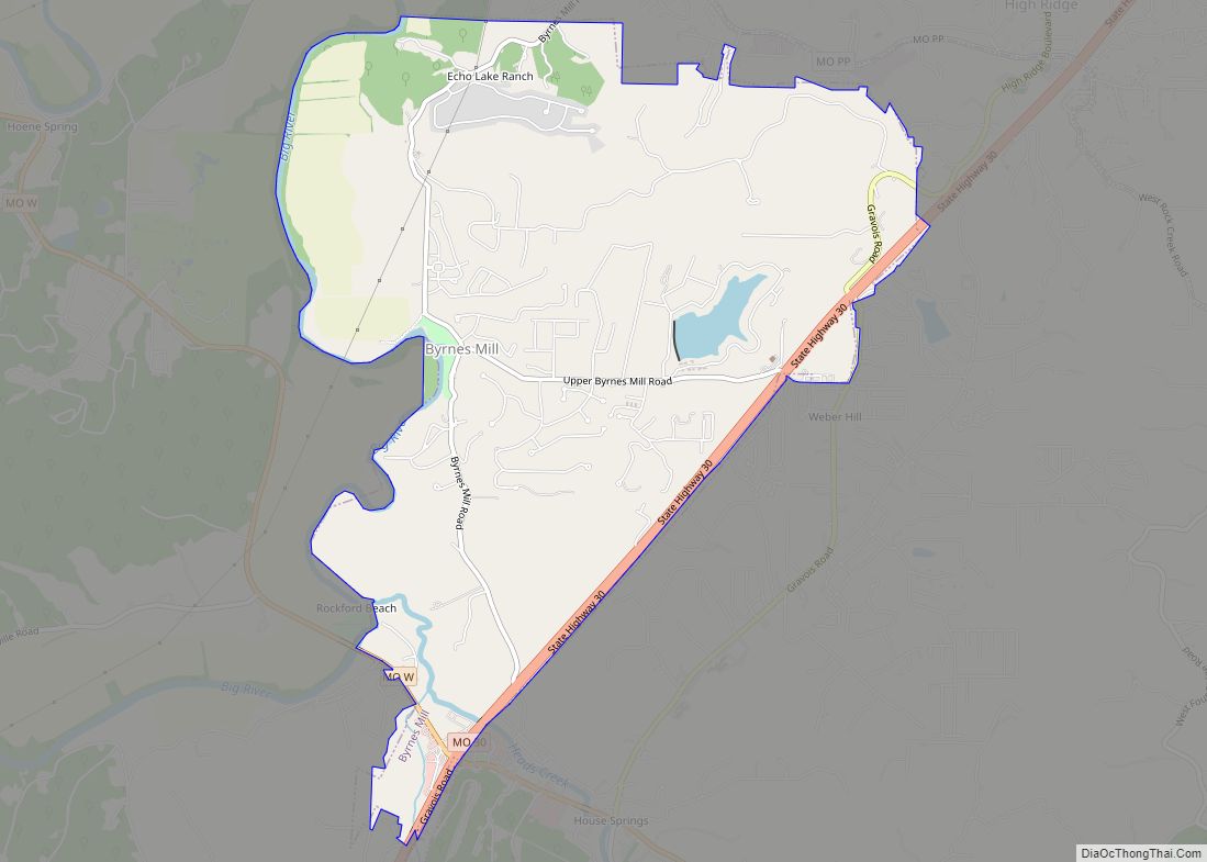
Byrnes Mill is a city in northern Jefferson County, Missouri, United States. The population was 3,173 at the 2020 census. Byrnes Mill city overview: Name: Byrnes Mill city LSAD Code: 25 LSAD Description: city (suffix) State: Missouri County: Jefferson County Elevation: 594 ft (181 m) Total Area: 5.26 sq mi (13.63 km²) Land Area: 5.14 sq mi (13.32 km²) Water Area: 0.12 sq mi (0.32 km²) ... Read more
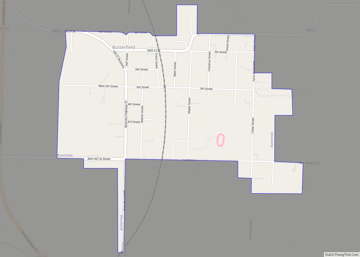
Butterfield is a city in Butterfield Township, Barry County, Missouri, United States. The population was 378 at the 2020 census. Butterfield city overview: Name: Butterfield city LSAD Code: 25 LSAD Description: city (suffix) State: Missouri County: Barry County Elevation: 1,532 ft (467 m) Total Area: 0.46 sq mi (1.20 km²) Land Area: 0.46 sq mi (1.20 km²) Water Area: 0.00 sq mi (0.00 km²) Total Population: ... Read more
Butler is a city in Bates County, Missouri, United States and is part of the Kansas City metropolitan area. The population was 4,219 at the 2010 census. The county seat of Bates County, the city is named for William Orlando Butler, a noted American military and political figure of the early and mid-19th century. It ... Read more
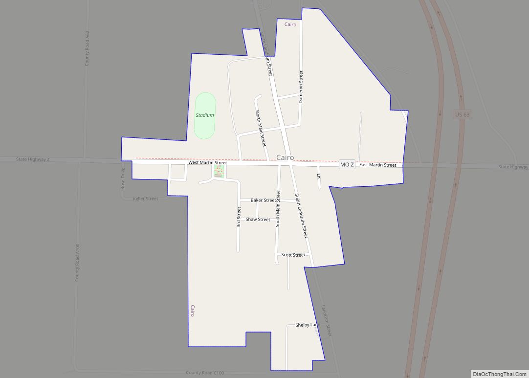
Cairo is a village in Randolph County, Missouri, United States. The population was 292 at the 2010 census. The pronunciation is Ka-row, unlike the city in Egypt. Cairo village overview: Name: Cairo village LSAD Code: 47 LSAD Description: village (suffix) State: Missouri County: Randolph County Elevation: 860 ft (260 m) Total Area: 0.30 sq mi (0.78 km²) Land Area: 0.30 sq mi ... Read more
