Buffalo is a city in and the county seat of Dallas County, Missouri, United States. The population was 3,290 at the 2020 census.
Buffalo is part of the Springfield, Missouri Metropolitan Statistical Area.
| Name: | Buffalo city |
|---|---|
| LSAD Code: | 25 |
| LSAD Description: | city (suffix) |
| State: | Missouri |
| County: | Dallas County |
| Elevation: | 1,148 ft (350 m) |
| Total Area: | 2.88 sq mi (7.45 km²) |
| Land Area: | 2.88 sq mi (7.45 km²) |
| Water Area: | 0.00 sq mi (0.00 km²) |
| Total Population: | 3,290 |
| Population Density: | 1,143.95/sq mi (441.63/km²) |
| ZIP code: | 65622 |
| Area code: | 417 |
| FIPS code: | 2909514 |
| GNISfeature ID: | 2393455 |
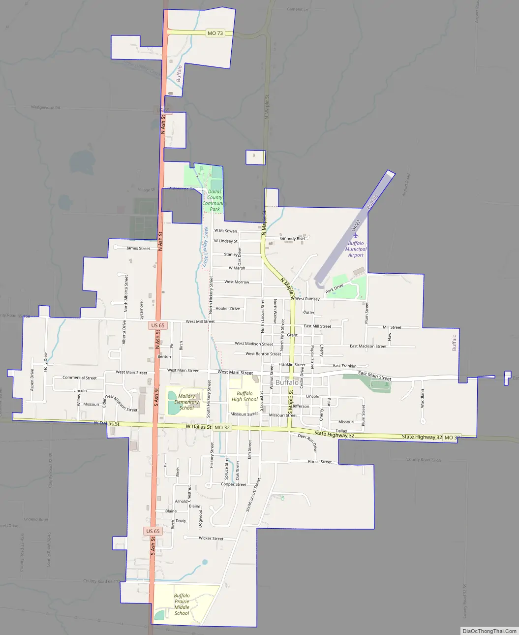
Online Interactive Map
Click on ![]() to view map in "full screen" mode.
to view map in "full screen" mode.
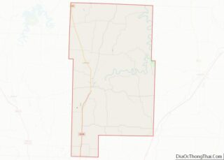
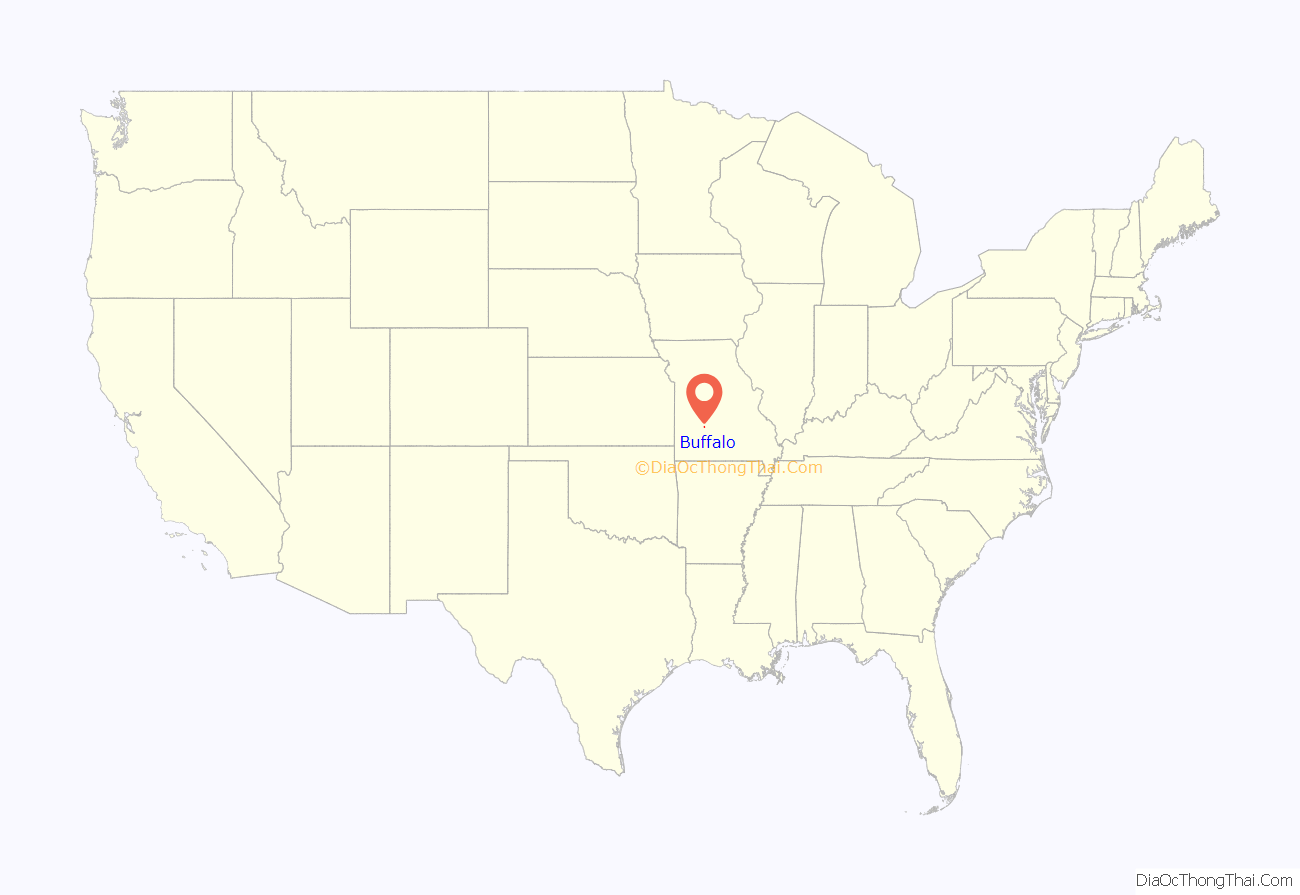
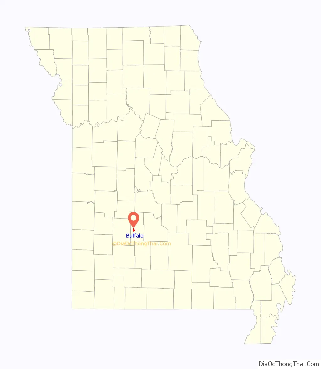
Buffalo location map. Where is Buffalo city?
History
Buffalo was platted in 1841, and named after Buffalo, New York, the native home of a first settler. A post office called Buffalo has been in operation since 1846.
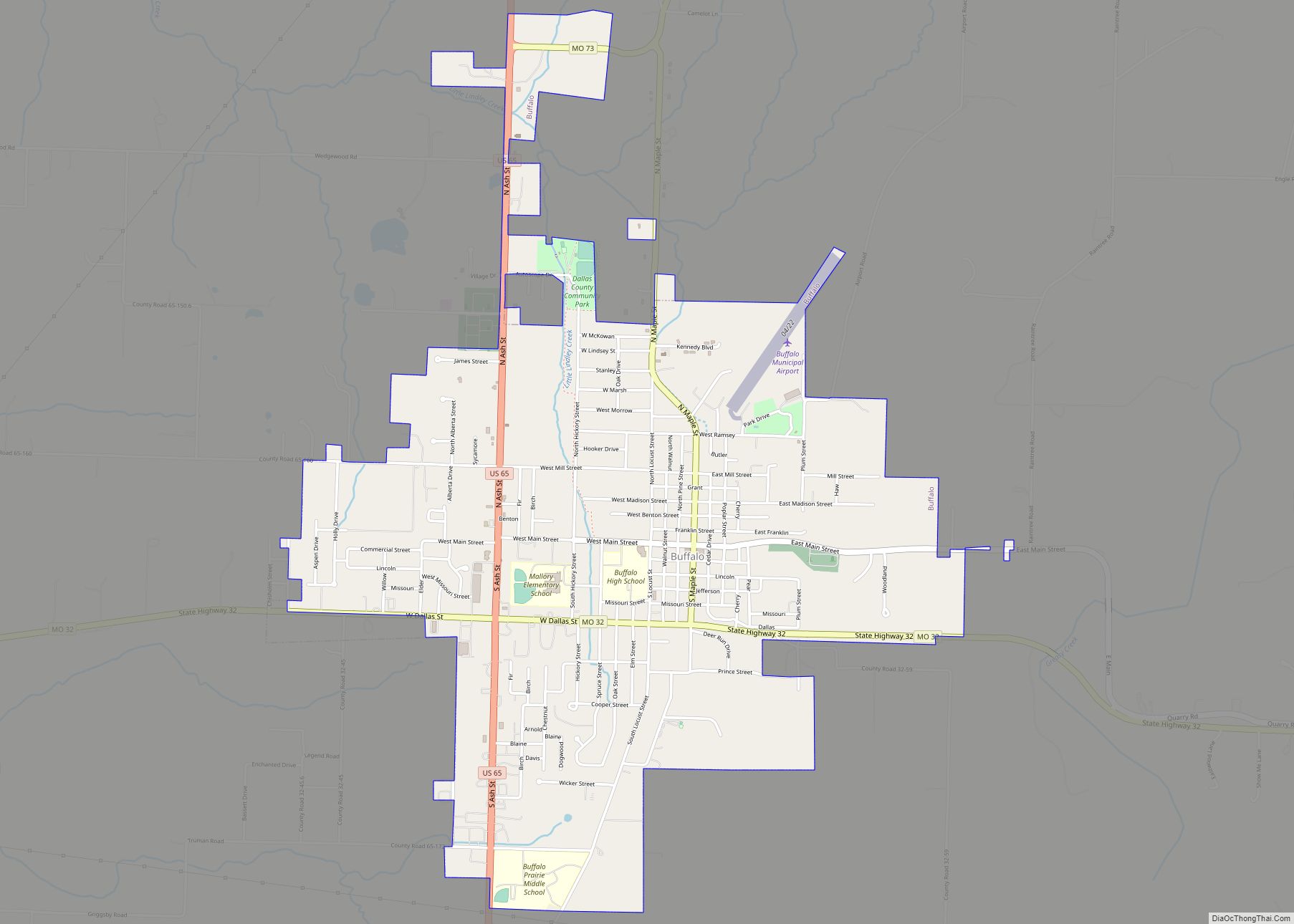
Buffalo Road Map
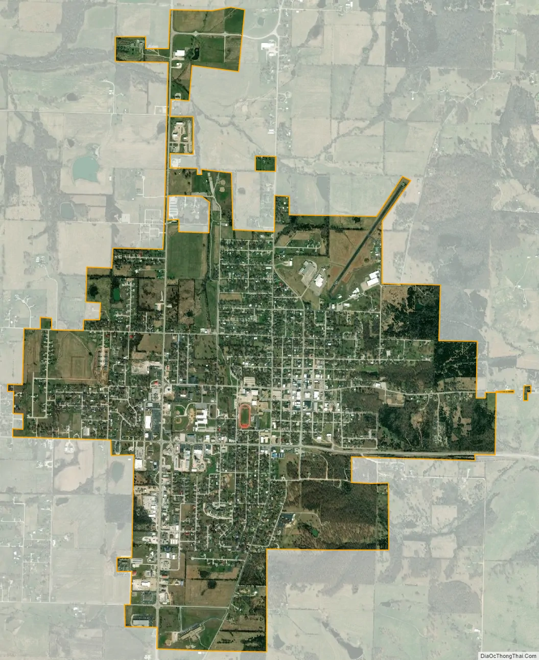
Buffalo city Satellite Map
Geography
The city is located in west central Dallas County, approximately 2.5 miles west of the Niangua River. The city is served by U.S. Route 65 and Missouri state routes 73 and 32. Bolivar is about 18 miles to the west and Marshfield is about 22 miles to the southeast. Springfield lies 28 miles to the south-southwest along Route 65.
According to the United States Census Bureau, the city has a total area of 2.86 square miles (7.41 km), all land.
See also
Map of Missouri State and its subdivision:- Adair
- Andrew
- Atchison
- Audrain
- Barry
- Barton
- Bates
- Benton
- Bollinger
- Boone
- Buchanan
- Butler
- Caldwell
- Callaway
- Camden
- Cape Girardeau
- Carroll
- Carter
- Cass
- Cedar
- Chariton
- Christian
- Clark
- Clay
- Clinton
- Cole
- Cooper
- Crawford
- Dade
- Dallas
- Daviess
- De Kalb
- Dent
- Douglas
- Dunklin
- Franklin
- Gasconade
- Gentry
- Greene
- Grundy
- Harrison
- Henry
- Hickory
- Holt
- Howard
- Howell
- Iron
- Jackson
- Jasper
- Jefferson
- Johnson
- Knox
- Laclede
- Lafayette
- Lawrence
- Lewis
- Lincoln
- Linn
- Livingston
- Macon
- Madison
- Maries
- Marion
- McDonald
- Mercer
- Miller
- Mississippi
- Moniteau
- Monroe
- Montgomery
- Morgan
- New Madrid
- Newton
- Nodaway
- Oregon
- Osage
- Ozark
- Pemiscot
- Perry
- Pettis
- Phelps
- Pike
- Platte
- Polk
- Pulaski
- Putnam
- Ralls
- Randolph
- Ray
- Reynolds
- Ripley
- Saint Charles
- Saint Clair
- Saint Francois
- Saint Louis
- Sainte Genevieve
- Saline
- Schuyler
- Scotland
- Scott
- Shannon
- Shelby
- Stoddard
- Stone
- Sullivan
- Taney
- Texas
- Vernon
- Warren
- Washington
- Wayne
- Webster
- Worth
- Wright
- Alabama
- Alaska
- Arizona
- Arkansas
- California
- Colorado
- Connecticut
- Delaware
- District of Columbia
- Florida
- Georgia
- Hawaii
- Idaho
- Illinois
- Indiana
- Iowa
- Kansas
- Kentucky
- Louisiana
- Maine
- Maryland
- Massachusetts
- Michigan
- Minnesota
- Mississippi
- Missouri
- Montana
- Nebraska
- Nevada
- New Hampshire
- New Jersey
- New Mexico
- New York
- North Carolina
- North Dakota
- Ohio
- Oklahoma
- Oregon
- Pennsylvania
- Rhode Island
- South Carolina
- South Dakota
- Tennessee
- Texas
- Utah
- Vermont
- Virginia
- Washington
- West Virginia
- Wisconsin
- Wyoming