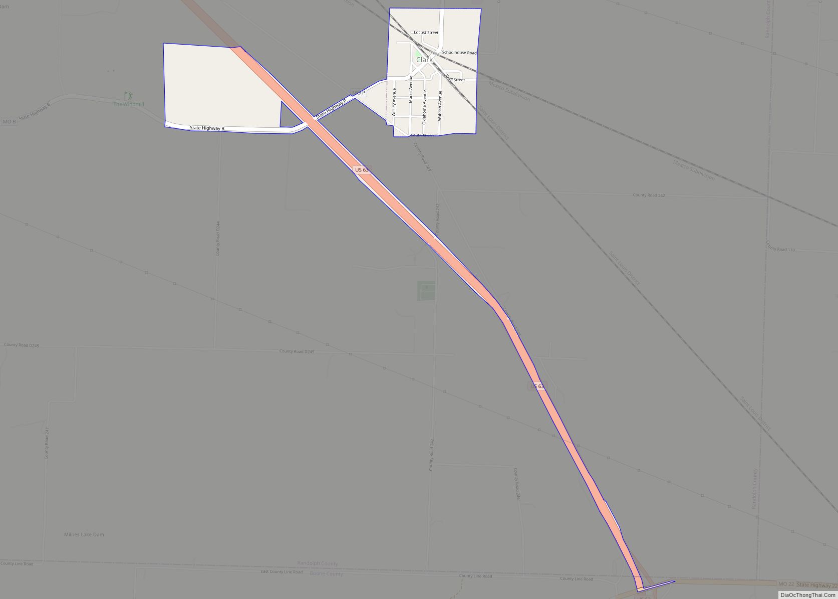
Clark is a city in Randolph County, Missouri, United States. The population was 298 at the 2010 census. Clark city overview: Name: Clark city LSAD Code: 25 LSAD Description: city (suffix) State: Missouri County: Boone County, Randolph County Elevation: 866 ft (264 m) Total Area: 0.60 sq mi (1.55 km²) Land Area: 0.60 sq mi (1.55 km²) Water Area: 0.00 sq mi (0.00 km²) Total Population: ... Read more
Missouri Cities and Places
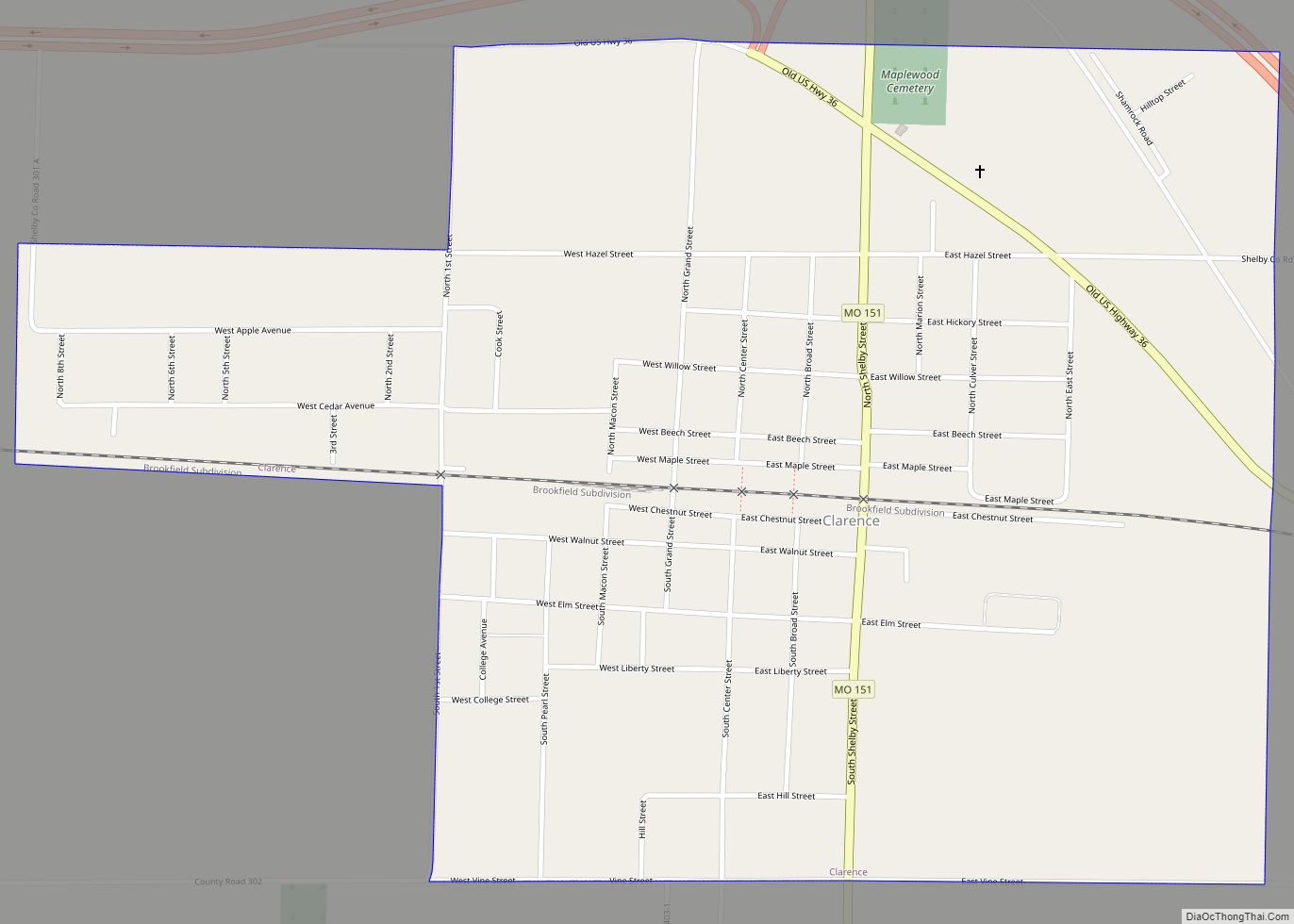
Clarence is a city in western Shelby County, Missouri, United States. The population was 738 at the 2020 census. Clarence city overview: Name: Clarence city LSAD Code: 25 LSAD Description: city (suffix) State: Missouri County: Shelby County Elevation: 820 ft (250 m) Total Area: 1.16 sq mi (3.00 km²) Land Area: 1.16 sq mi (3.00 km²) Water Area: 0.00 sq mi (0.00 km²) Total Population: 738 ... Read more
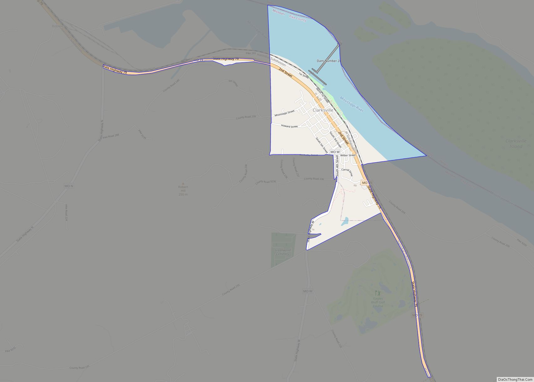
Clarksville is a city in Calumet Township, Pike County, Missouri, United States. The population was 442 at the 2010 census. Clarksville city overview: Name: Clarksville city LSAD Code: 25 LSAD Description: city (suffix) State: Missouri County: Pike County Elevation: 466 ft (142 m) Total Area: 0.94 sq mi (2.44 km²) Land Area: 0.58 sq mi (1.51 km²) Water Area: 0.36 sq mi (0.93 km²) Total Population: ... Read more
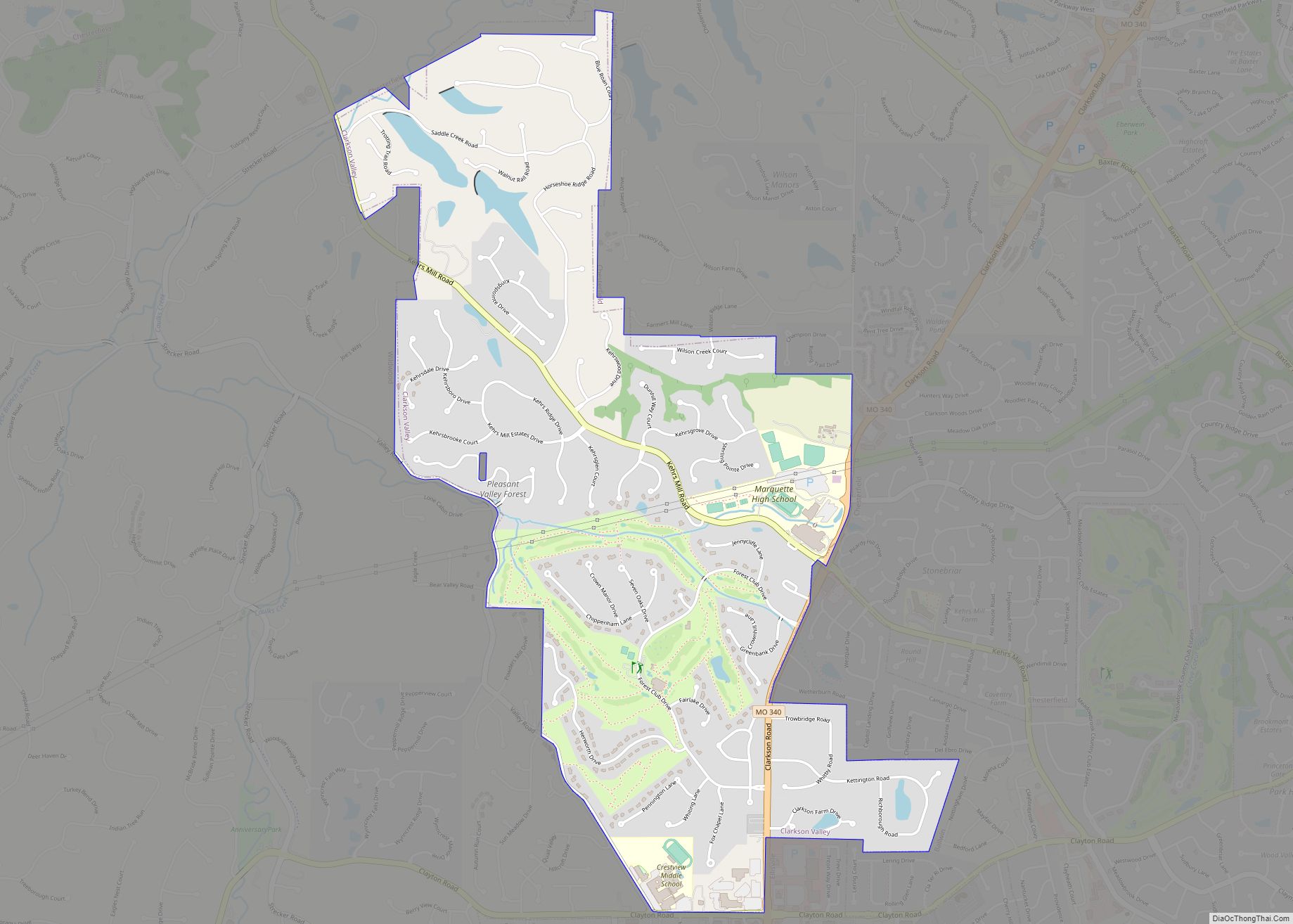
Clarkson Valley is a city in St. Louis County, Missouri, United States. The population was 2,609 at the 2020 census. Clarkson Valley city overview: Name: Clarkson Valley city LSAD Code: 25 LSAD Description: city (suffix) State: Missouri County: St. Louis County Incorporated: 1950 Elevation: 633 ft (193 m) Total Area: 2.73 sq mi (7.08 km²) Land Area: 2.69 sq mi (6.98 km²) Water ... Read more
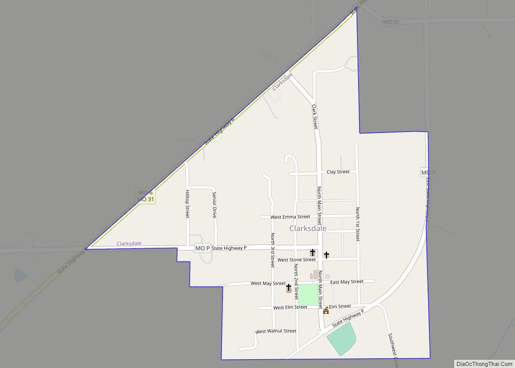
Clarksdale is a city in southwest DeKalb County, Missouri, United States, located along the Little Third Fork of the Platte River. The population was 245 at the 2020 census. It is part of the St. Joseph, MO–KS Metropolitan Statistical Area. Clarksdale city overview: Name: Clarksdale city LSAD Code: 25 LSAD Description: city (suffix) State: Missouri ... Read more
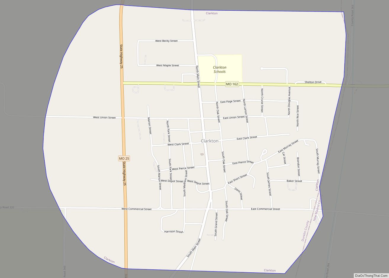
Clarkton is a city in Dunklin County, Missouri, United States. The population was 1,288 at the 2010 census. Clarkton is the oldest city in Dunklin County. Clarkton city overview: Name: Clarkton city LSAD Code: 25 LSAD Description: city (suffix) State: Missouri County: Dunklin County Elevation: 279 ft (85 m) Total Area: 1.13 sq mi (2.93 km²) Land Area: 1.13 sq mi (2.93 km²) ... Read more
Clayton is a city in and the seat of St. Louis County, Missouri. It borders the independent city of St. Louis. The population was 17,355 at the 2020 census. Organized in 1877, the city was named after Ralph Clayton, who donated the land for the St. Louis County courthouse. Clayton city overview: Name: Clayton city ... Read more
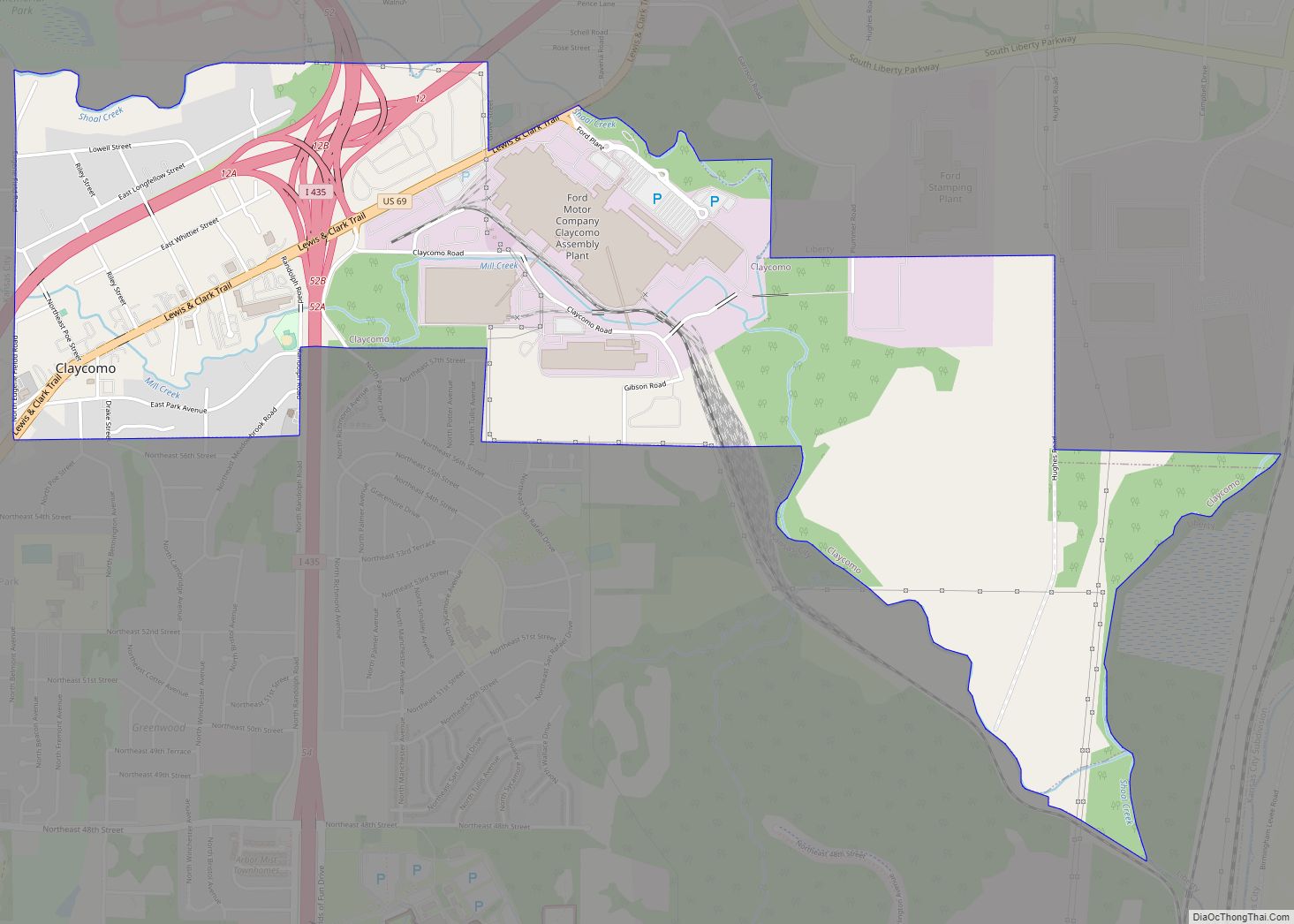
Claycomo is a village in Clay County, Missouri, United States, as part of the Kansas City metropolitan area. Its name is a portmanteau of “Clay County, MO”. The population was 1,343 at the 2020 census. Ford Motor Company owns the Kansas City Assembly Plant (KCAP) in Claycomo, which builds the Ford F-150 pickup trucks and ... Read more
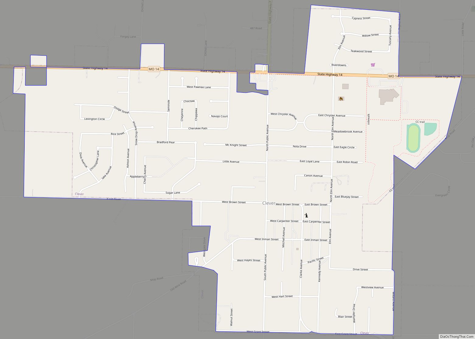
Clever is a city in Christian County, Missouri, United States. The population was 2,139 at the 2010 census. It is part of the Springfield, Missouri Metropolitan Statistical Area. Clever, like the rest of Christian County, saw a significant increase in population between 2000 and 2010. Clever city overview: Name: Clever city LSAD Code: 25 LSAD ... Read more
Cleveland is a city in Cass County, Missouri, United States. The population was 661 at the 2010 census. It is part of the Kansas City metropolitan area. Cleveland city overview: Name: Cleveland city LSAD Code: 25 LSAD Description: city (suffix) State: Missouri County: Cass County Elevation: 988 ft (301 m) Total Area: 1.50 sq mi (3.90 km²) Land Area: 1.49 sq mi ... Read more
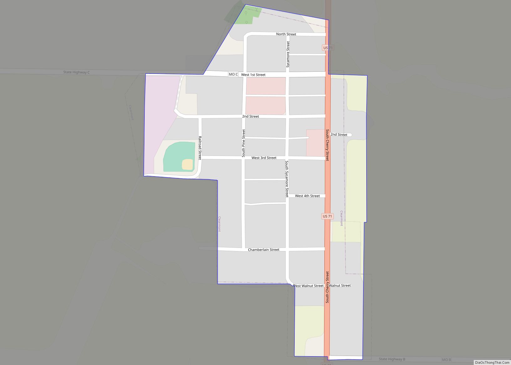
Clearmont is a city in northwest Nodaway County, Missouri, United States. The population was 170 at the 2010 census. Clearmont city overview: Name: Clearmont city LSAD Code: 25 LSAD Description: city (suffix) State: Missouri County: Nodaway County Elevation: 971 ft (296 m) Total Area: 0.16 sq mi (0.42 km²) Land Area: 0.16 sq mi (0.42 km²) Water Area: 0.00 sq mi (0.00 km²) Total Population: 158 ... Read more
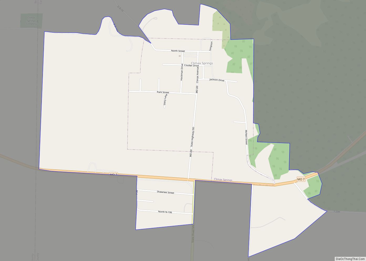
Climax Springs is a census-designated place and former village in Camden County, Missouri, United States. The population was 124 at the 2010 census. Climax Springs CDP overview: Name: Climax Springs CDP LSAD Code: 57 LSAD Description: CDP (suffix) State: Missouri County: Benton County, Camden County Elevation: 971 ft (296 m) Total Area: 0.81 sq mi (2.09 km²) Land Area: 0.81 sq mi ... Read more
