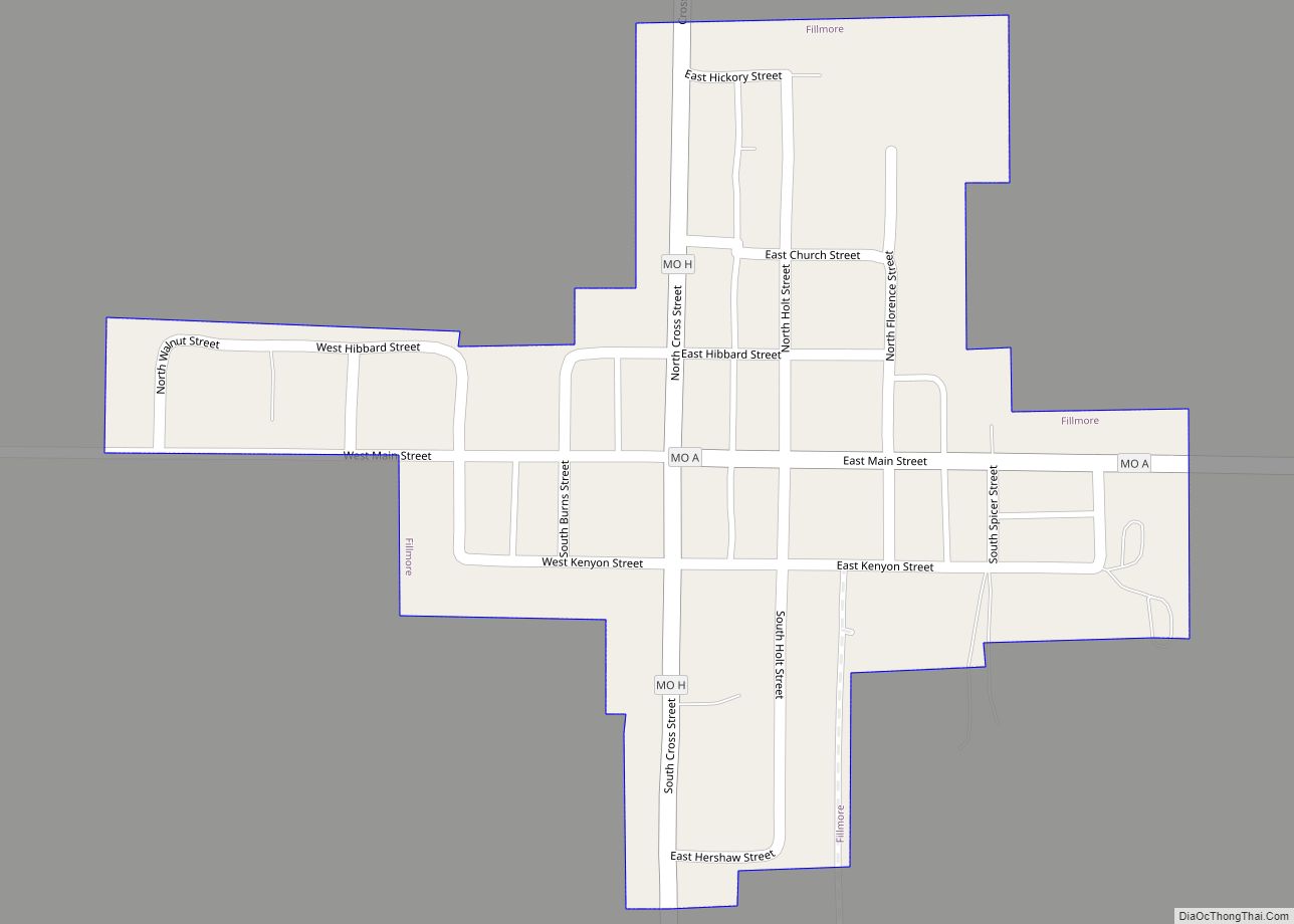
Fillmore is a city in Andrew County, Missouri, United States. The population was 184 at the 2010 census. Fillmore city overview: Name: Fillmore city LSAD Code: 25 LSAD Description: city (suffix) State: Missouri County: Andrew County Elevation: 951 ft (290 m) Total Area: 0.14 sq mi (0.36 km²) Land Area: 0.14 sq mi (0.36 km²) Water Area: 0.00 sq mi (0.00 km²) Total Population: 173 Population ... Read more
Missouri Cities and Places
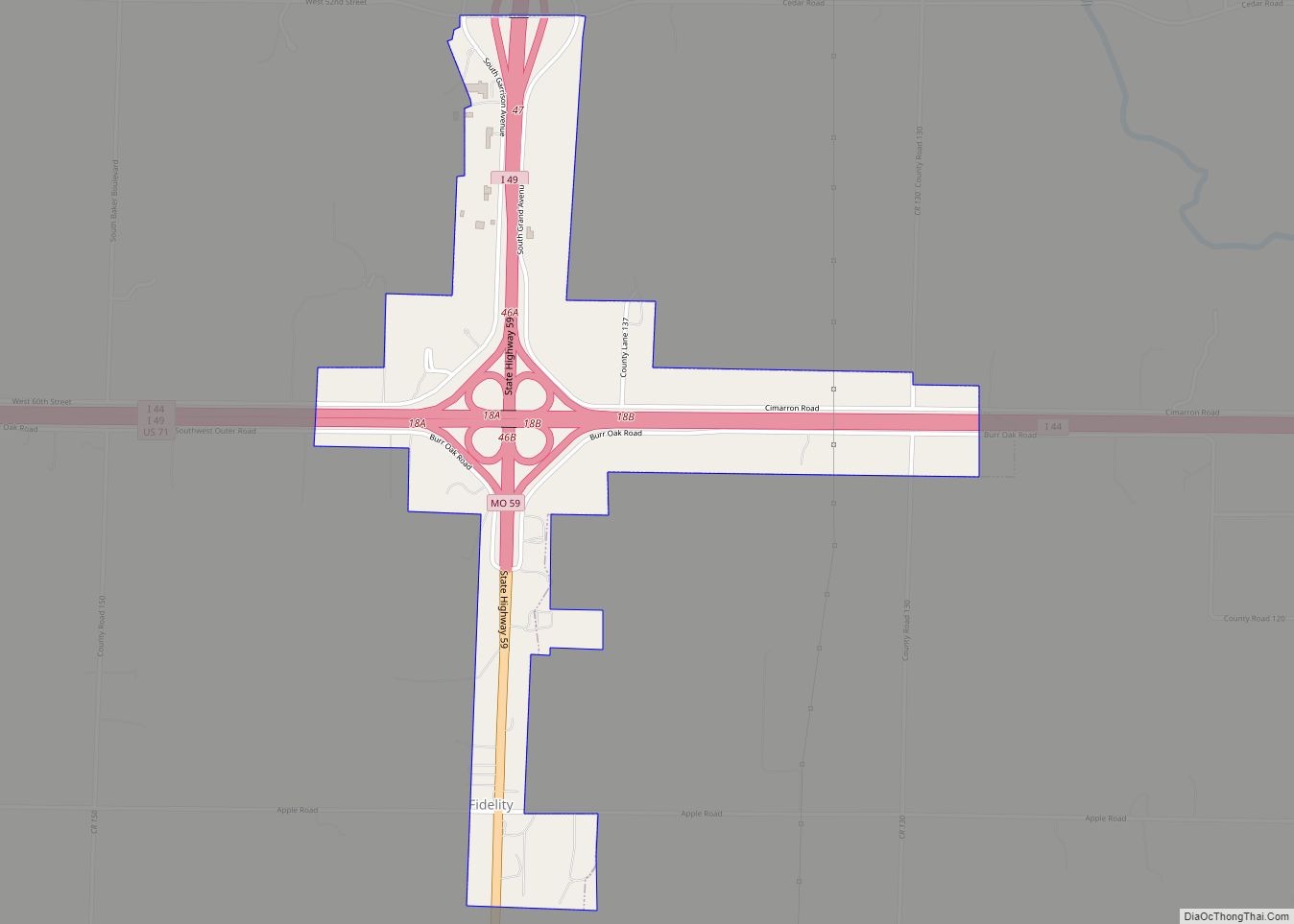
Fidelity is a village in Jasper County, Missouri, United States. The population was 227 at the 2020 census. It is part of the Joplin, Missouri Metropolitan Statistical Area. Fidelity town overview: Name: Fidelity town LSAD Code: 43 LSAD Description: town (suffix) State: Missouri County: Jasper County Elevation: 1,070 ft (330 m) Total Area: 0.97 sq mi (2.50 km²) Land Area: ... Read more
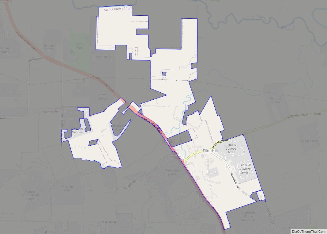
Flint Hill city overview: Name: Flint Hill city LSAD Code: 25 LSAD Description: city (suffix) State: Missouri County: St. Charles County FIPS code: 2924688 Online Interactive Map Flint Hill online map. Source: Basemap layers from Google Map, Open Street Map (OSM), Arcgisonline, Wmflabs. Boundary Data from Database of Global Administrative Areas. Flint Hill location map. ... Read more
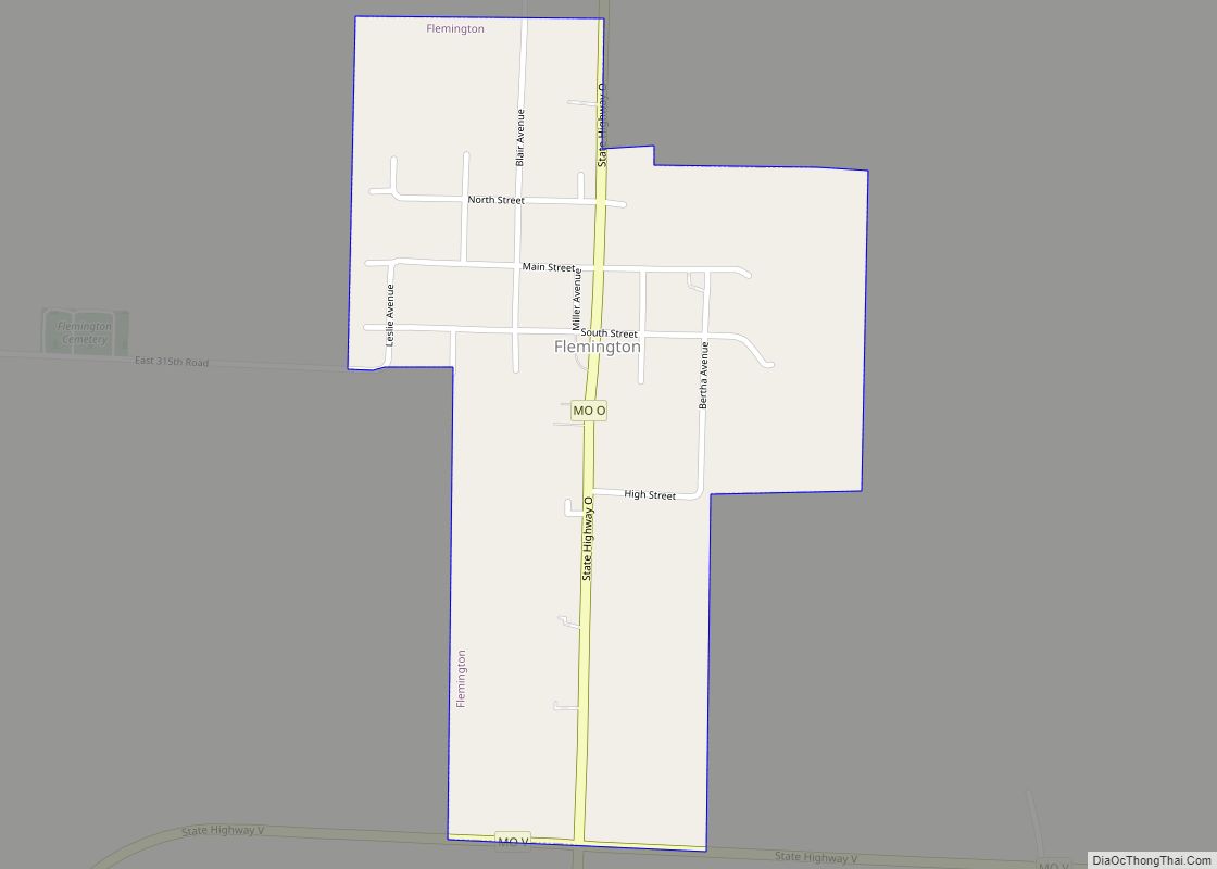
Flemington is a village in Polk County, Missouri, United States. The population was 148 at the 2010 census. It is part of the Springfield, Missouri Metropolitan Statistical Area. Flemington village overview: Name: Flemington village LSAD Code: 47 LSAD Description: village (suffix) State: Missouri County: Polk County Elevation: 1,132 ft (345 m) Total Area: 0.33 sq mi (0.86 km²) Land Area: ... Read more
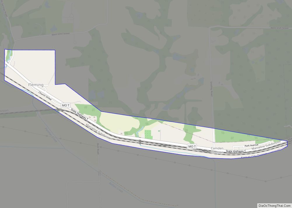
Fleming is a city in Ray County, Missouri, and part of the Kansas City metropolitan area within the United States. The population was 114 at the 2020 census. Fleming city overview: Name: Fleming city LSAD Code: 25 LSAD Description: city (suffix) State: Missouri County: Ray County Elevation: 745 ft (227 m) Total Area: 0.54 sq mi (1.40 km²) Land Area: ... Read more
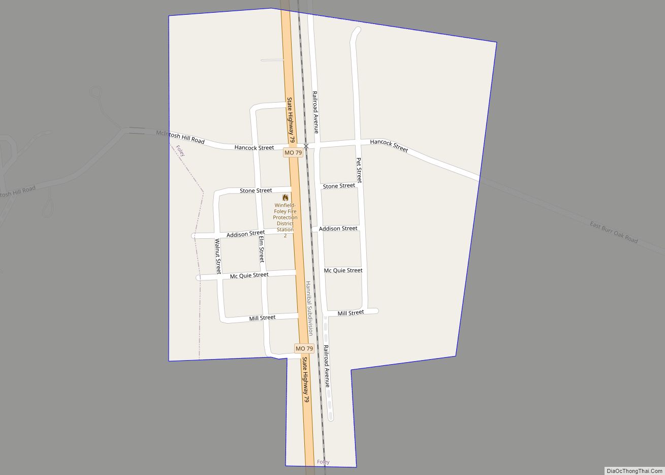
Foley is a city in Lincoln County, Missouri, United States. The population was 161 at the 2010 census. Foley city overview: Name: Foley city LSAD Code: 25 LSAD Description: city (suffix) State: Missouri County: Lincoln County Elevation: 443 ft (135 m) Total Area: 0.20 sq mi (0.51 km²) Land Area: 0.20 sq mi (0.51 km²) Water Area: 0.00 sq mi (0.00 km²) Total Population: 89 Population ... Read more
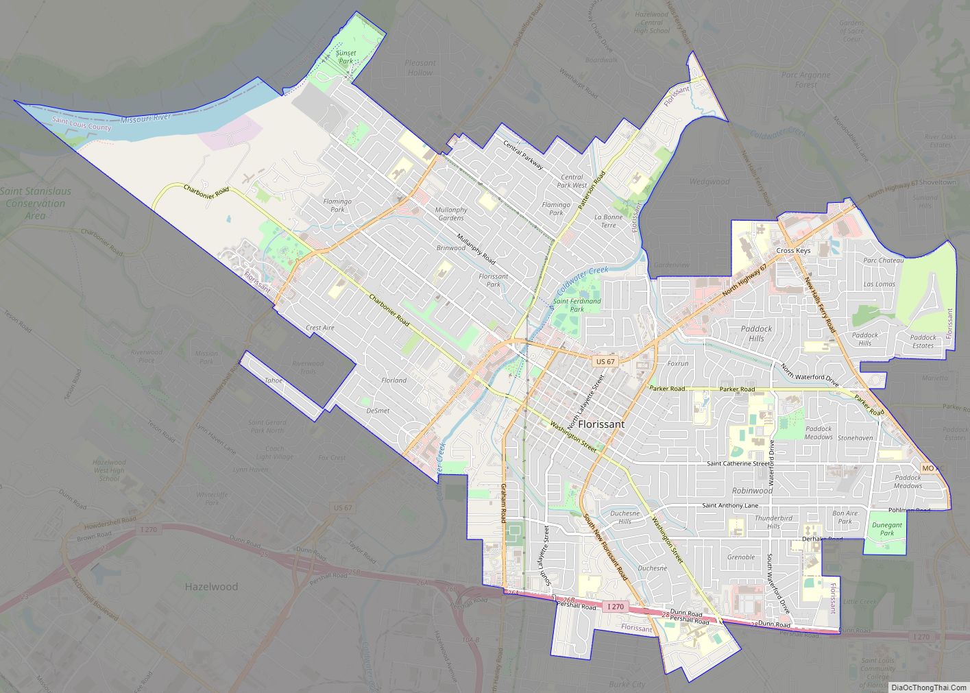
Florissant (/ˈflɒrɪsənt/ (listen)) is a city in St. Louis County, Missouri, within Greater St. Louis. It is a middle-class, second-ring northern suburb of St. Louis. Based on the 2020 United States census, the city had a total population of 52,533. Florissant city overview: Name: Florissant city LSAD Code: 25 LSAD Description: city (suffix) State: Missouri ... Read more
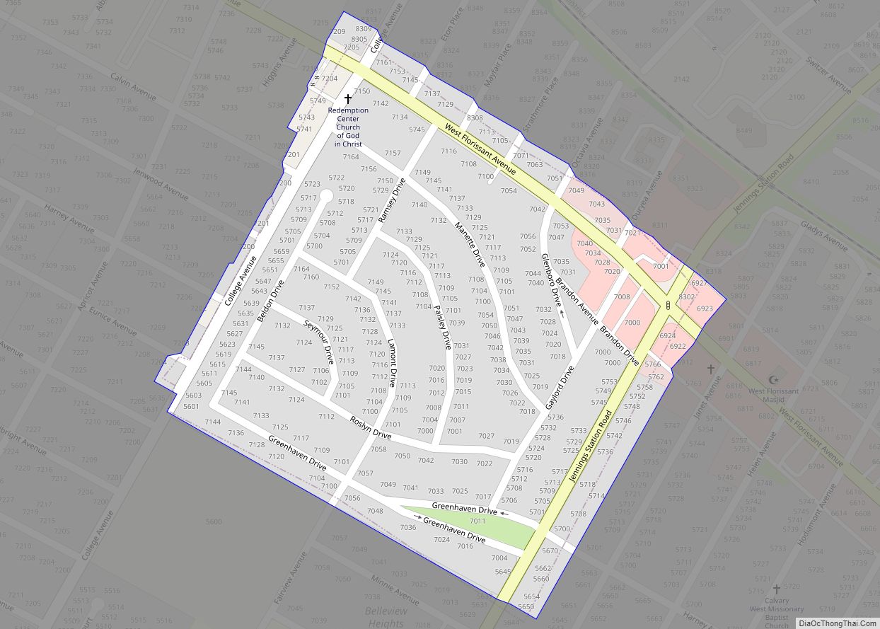
Flordell Hills is a city in St. Louis County, Missouri, United States. The population was 822 at the 2010 census. Flordell Hills city overview: Name: Flordell Hills city LSAD Code: 25 LSAD Description: city (suffix) State: Missouri County: St. Louis County Elevation: 522 ft (159 m) Total Area: 0.12 sq mi (0.32 km²) Land Area: 0.12 sq mi (0.32 km²) Water Area: 0.00 sq mi ... Read more
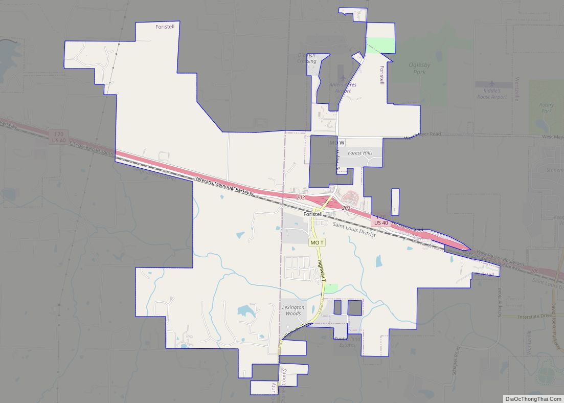
Foristell is a city in St. Charles and Warren counties in the U.S. state of Missouri. The population was 505 at the 2010 census. Foristell city overview: Name: Foristell city LSAD Code: 25 LSAD Description: city (suffix) State: Missouri County: St. Charles County, Warren County Elevation: 705 ft (215 m) Total Area: 6.16 sq mi (15.96 km²) Land Area: 6.06 sq mi ... Read more
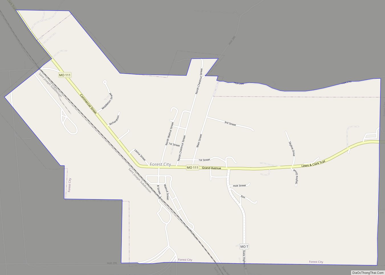
Forest City is a city in Holt County, Missouri, United States. The population was 243 at the 2020 census. Forest City city overview: Name: Forest City city LSAD Code: 25 LSAD Description: city (suffix) State: Missouri County: Holt County Elevation: 951 ft (290 m) Total Area: 0.98 sq mi (2.53 km²) Land Area: 0.98 sq mi (2.53 km²) Water Area: 0.00 sq mi (0.00 km²) Total ... Read more
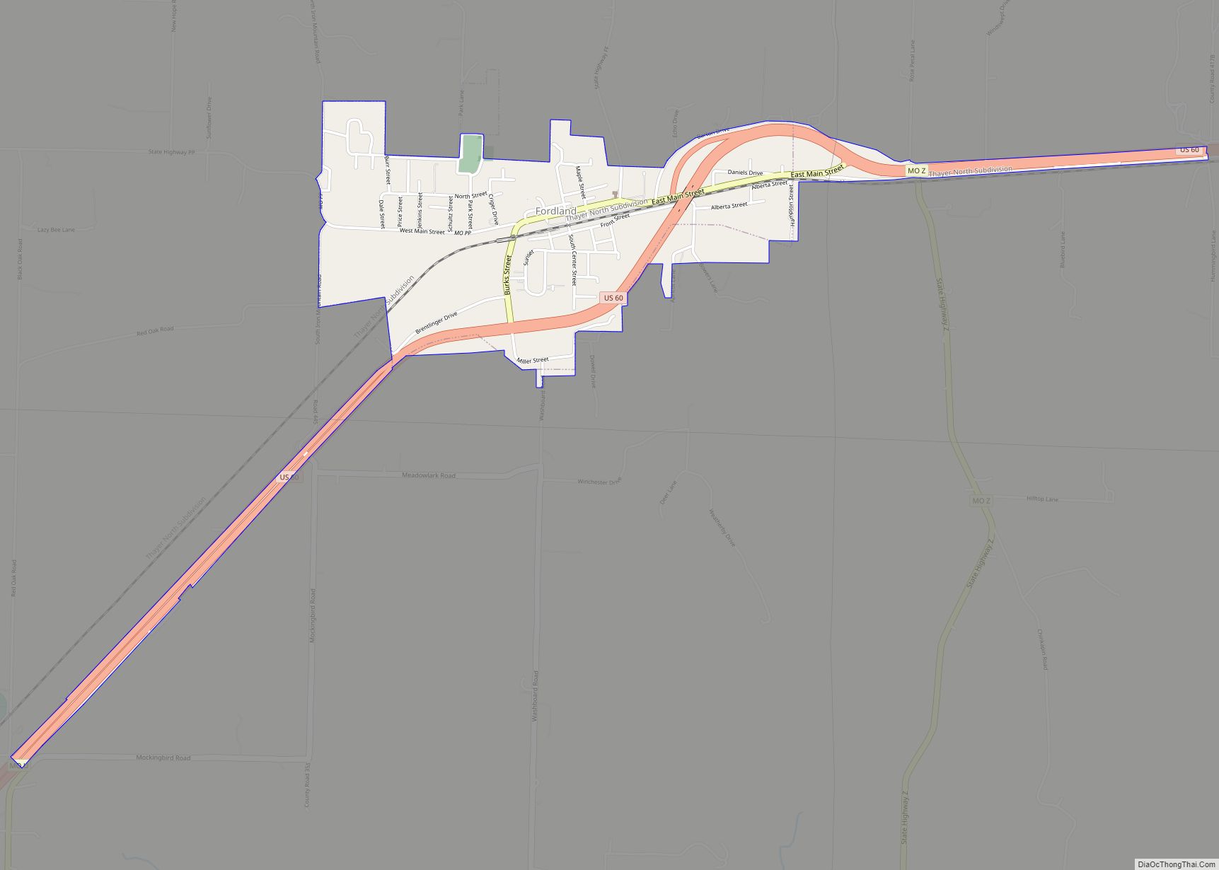
Fordland is a city in southern Webster County, Missouri, United States. The population was 800 at the 2010 census. It is part of the Springfield, Missouri Metropolitan Statistical Area. Fordland city overview: Name: Fordland city LSAD Code: 25 LSAD Description: city (suffix) State: Missouri County: Webster County Elevation: 1,604 ft (489 m) Total Area: 1.11 sq mi (2.87 km²) Land ... Read more
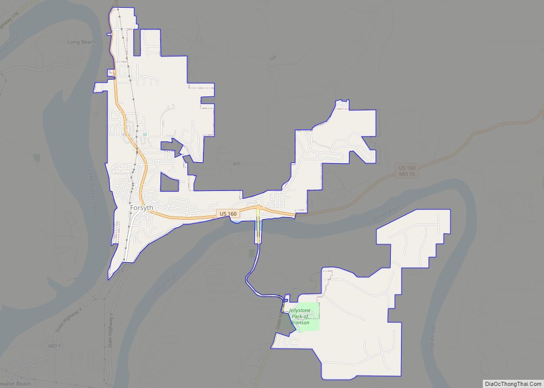
Forsyth is a city in Taney County, Missouri, United States. The population was 2,730 at the 2020 census. It is the county seat of Taney County. The town is part of the Branson, Missouri Micropolitan Statistical Area. Forsyth is located on Lake Taneycomo on U.S. Route 160. Forsyth city overview: Name: Forsyth city LSAD Code: ... Read more
