Florissant (/ˈflɒrɪsənt/ (listen)) is a city in St. Louis County, Missouri, within Greater St. Louis. It is a middle-class, second-ring northern suburb of St. Louis. Based on the 2020 United States census, the city had a total population of 52,533.
| Name: | Florissant city |
|---|---|
| LSAD Code: | 25 |
| LSAD Description: | city (suffix) |
| State: | Missouri |
| County: | St. Louis County |
| Founded: | 1785 |
| Elevation: | 528 ft (161 m) |
| Total Area: | 12.86 sq mi (33.31 km²) |
| Land Area: | 12.55 sq mi (32.51 km²) |
| Water Area: | 0.31 sq mi (0.80 km²) |
| Total Population: | 52,533 |
| Population Density: | 4,100/sq mi (1,600/km²) |
| ZIP code: | 63031, 63032, 63033, 63034 |
| Area code: | 314 |
| FIPS code: | 2924778 |
| GNISfeature ID: | 2394777 |
| Website: | http://www.florissantmo.com/ |
Online Interactive Map
Click on ![]() to view map in "full screen" mode.
to view map in "full screen" mode.
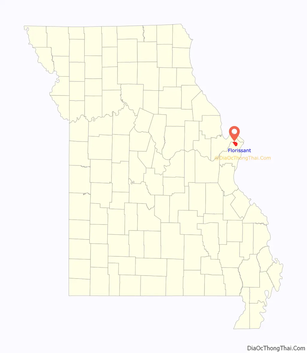
Florissant location map. Where is Florissant city?

History
The exact date the first settlers went to the Valley of Florissant is unknown, but it is one of the oldest settlements in Missouri. Some historians believe it was settled about the same time as St. Louis. The first civilian government was formed in 1786. Spanish archives in Havana reveal 40 people and seven plantations were in Florissant at the time of the 1787 census. The village, called “Fleurissant”, meaning “Blooming” in English, by its French settlers and “St. Ferdinand” by its Spanish rulers, was a typical French village with its commons and common fields. Originally a separate town, and now an inner suburb of St. Louis, the community was centered on (and frequently called after) the parish of St. Ferdinand. The center of the parish, the Old St. Ferdinand Shrine, survives and is listed on the National Register of Historic Places.
Around 1809, the Cold Water Cemetery had the first burial; since 2004, it has been listed in the National Register of Historic Places for its social history.
As late as 1889, the town was predominantly French-speaking (while the southern portion of the metropolis was populated by German speakers). The first train line to the area was constructed in 1878—an extension of the line which went from St. Louis City to Normandy. The last train to Florissant ran on November 14, 1931.
Following World War II, Florissant went from a small village community to a large suburban center, as developers such as Alfred H. Mayer Co. began building subdivisions on what was formerly farmland and empty acreage. Around 18,000 houses were built between 1947 and 1980, and the population swelled to its peak of about 76,000 in the mid-1970s, making it the largest city in St. Louis County.
James J. Eagan was the first mayor of Florissant after a charter amendment created the position. He ultimately served 37 years from 1963 until his death on November 2, 2000, being re-elected into office nine times, and became one of the longest-serving mayors of any city in the United States. In his final year, he was awarded the title of Best Politician in St. Louis by the Riverfront Times. The civic center off Parker Road is named the James J. Eagan Community Center in his memory.
In 2012, Florissant was ranked 76 in Money magazine’s top-100 list of Best Places to Live – America’s Best Small Cities. In 2014, Florissant ranked as the #1 Best Small City to Retire To in America and the second-safest city in Missouri.
Florissant Old Town Historic District is a locally designated historic preservation planning district, created by local ordinance in 1969. Within that, the heart of Old Town Florissant is listed on the National Register of Historic Places as the St. Ferdinand Central Historic District. The boundaries of the district are roughly rue St. Francois, rue St. Ferdinand, and rue St. Denis, and Lafayette Street. The City of St. Ferdinand Multiple Resource Area (MRA), located in the oldest section of the present city of Florissant, encompasses approximately 156 city blocks and encloses the approximate area of the City of St. Ferdinand, as Florissant was known from 1857 to 1939. This MRA comprises 124 historically significant properties ranging in date from 1790 to 1940. The historic Old St. Ferdinand Shrine is located on the western end of Old Town. The Shrine and Historic Site consists of four historic buildings on their original locations: the 1819 convent, 1821 church, 1840 rectory, and 1888 schoolhouse. It is listed individually on the National Register of Historic Places and is a U.S. Historic District.
Historic Florissant, the local historical society, operates out of the preserved Gittemeier House.
Florissant Road Map

Florissant city Satellite Map

Geography
According to the United States Census Bureau, the city has a total area of 12.87 square miles (33.33 km), of which 12.56 square miles (32.53 km) are land and 0.31 square mile (0.80 km) is covered by water.
See also
Map of Missouri State and its subdivision:- Adair
- Andrew
- Atchison
- Audrain
- Barry
- Barton
- Bates
- Benton
- Bollinger
- Boone
- Buchanan
- Butler
- Caldwell
- Callaway
- Camden
- Cape Girardeau
- Carroll
- Carter
- Cass
- Cedar
- Chariton
- Christian
- Clark
- Clay
- Clinton
- Cole
- Cooper
- Crawford
- Dade
- Dallas
- Daviess
- De Kalb
- Dent
- Douglas
- Dunklin
- Franklin
- Gasconade
- Gentry
- Greene
- Grundy
- Harrison
- Henry
- Hickory
- Holt
- Howard
- Howell
- Iron
- Jackson
- Jasper
- Jefferson
- Johnson
- Knox
- Laclede
- Lafayette
- Lawrence
- Lewis
- Lincoln
- Linn
- Livingston
- Macon
- Madison
- Maries
- Marion
- McDonald
- Mercer
- Miller
- Mississippi
- Moniteau
- Monroe
- Montgomery
- Morgan
- New Madrid
- Newton
- Nodaway
- Oregon
- Osage
- Ozark
- Pemiscot
- Perry
- Pettis
- Phelps
- Pike
- Platte
- Polk
- Pulaski
- Putnam
- Ralls
- Randolph
- Ray
- Reynolds
- Ripley
- Saint Charles
- Saint Clair
- Saint Francois
- Saint Louis
- Sainte Genevieve
- Saline
- Schuyler
- Scotland
- Scott
- Shannon
- Shelby
- Stoddard
- Stone
- Sullivan
- Taney
- Texas
- Vernon
- Warren
- Washington
- Wayne
- Webster
- Worth
- Wright
- Alabama
- Alaska
- Arizona
- Arkansas
- California
- Colorado
- Connecticut
- Delaware
- District of Columbia
- Florida
- Georgia
- Hawaii
- Idaho
- Illinois
- Indiana
- Iowa
- Kansas
- Kentucky
- Louisiana
- Maine
- Maryland
- Massachusetts
- Michigan
- Minnesota
- Mississippi
- Missouri
- Montana
- Nebraska
- Nevada
- New Hampshire
- New Jersey
- New Mexico
- New York
- North Carolina
- North Dakota
- Ohio
- Oklahoma
- Oregon
- Pennsylvania
- Rhode Island
- South Carolina
- South Dakota
- Tennessee
- Texas
- Utah
- Vermont
- Virginia
- Washington
- West Virginia
- Wisconsin
- Wyoming


