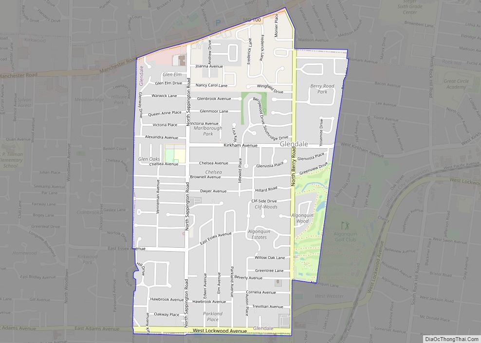
Glendale is a city in St. Louis County, Missouri, United States. The population was 5,925 at the 2010 census. Glendale city overview: Name: Glendale city LSAD Code: 25 LSAD Description: city (suffix) State: Missouri County: St. Louis County Elevation: 587 ft (179 m) Total Area: 1.30 sq mi (3.36 km²) Land Area: 1.30 sq mi (3.36 km²) Water Area: 0.00 sq mi (0.00 km²) Total Population: ... Read more
Missouri Cities and Places
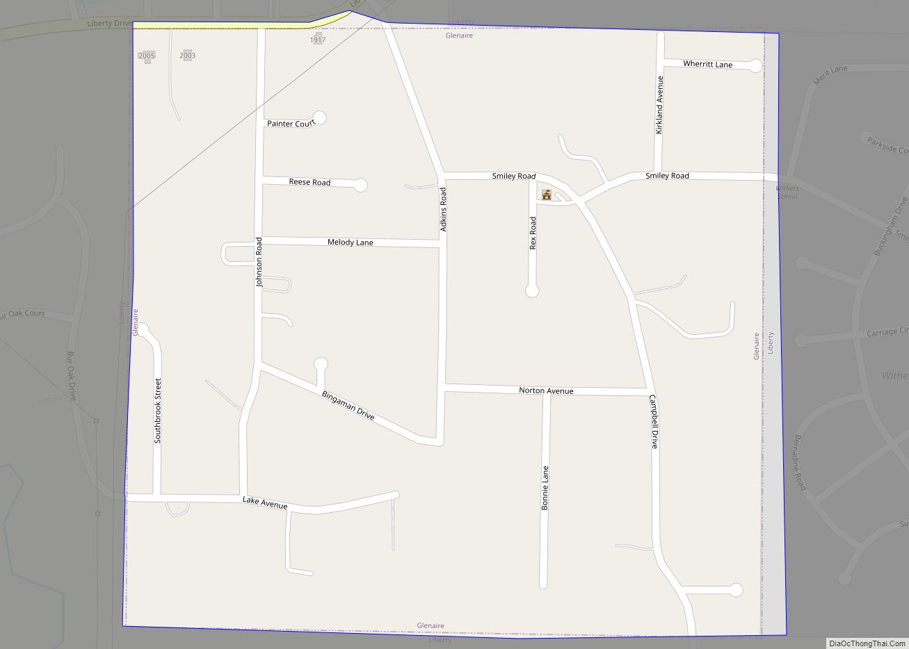
Glenaire is a city in Clay County, Missouri, United States. The population was 539 at the 2020 census. The city is completely surrounded by the city of Liberty. It was originally referred to as “Interurban Heights” or “Belleview” because of the interurban train that ran through the area and stopped at the Belleview depot near ... Read more
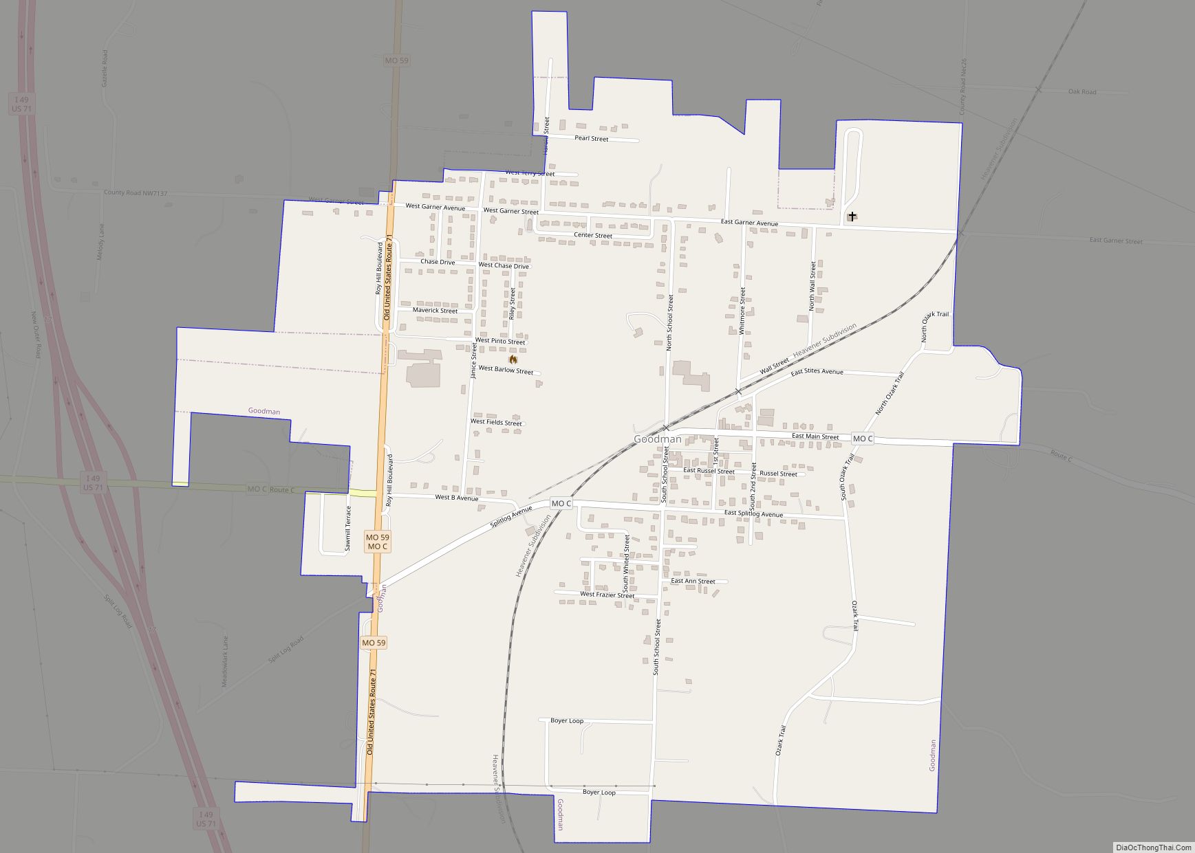
Goodman is a city in McDonald County, Missouri, United States. The population was 1,248 at the 2010 census. Goodman city overview: Name: Goodman city LSAD Code: 25 LSAD Description: city (suffix) State: Missouri County: McDonald County Elevation: 1,250 ft (380 m) Total Area: 1.33 sq mi (3.44 km²) Land Area: 1.33 sq mi (3.44 km²) Water Area: 0.00 sq mi (0.00 km²) Total Population: 1,202 Population ... Read more
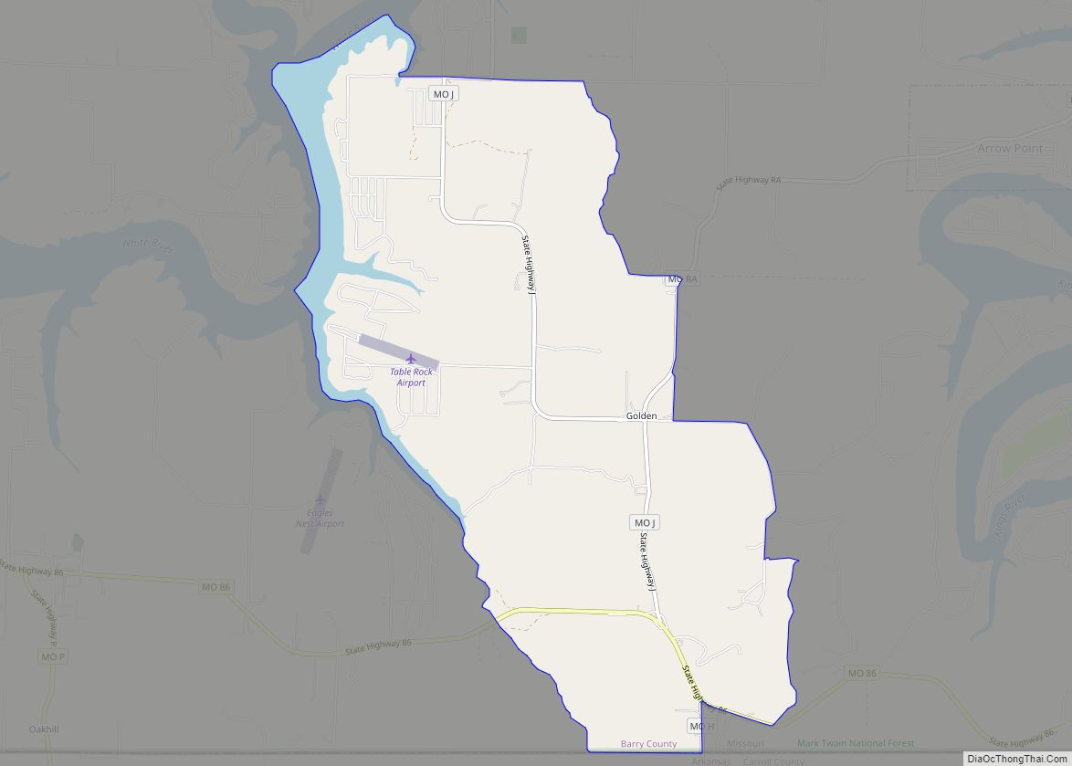
Golden is an unincorporated community and census-designated place in southeastern Barry County, Missouri, United States. It is approximately 20 miles (32 km) southeast of Cassville. It is located south of Table Rock Lake and one mile north of Missouri Route 86 on Highway J. At the 2020 census, Golden had a population of 275. A post ... Read more
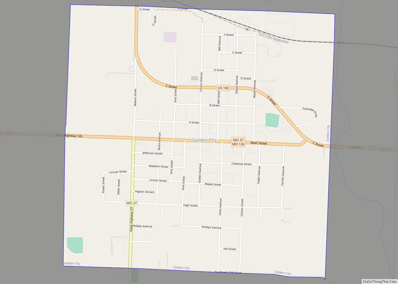
Golden City is a city in Golden City Township, Barton County, Missouri, United States. The population was 656 at the 2020 census. Golden City city overview: Name: Golden City city LSAD Code: 25 LSAD Description: city (suffix) State: Missouri County: Barton County Elevation: 1,060 ft (320 m) Total Area: 1.04 sq mi (2.68 km²) Land Area: 1.03 sq mi (2.68 km²) Water Area: ... Read more
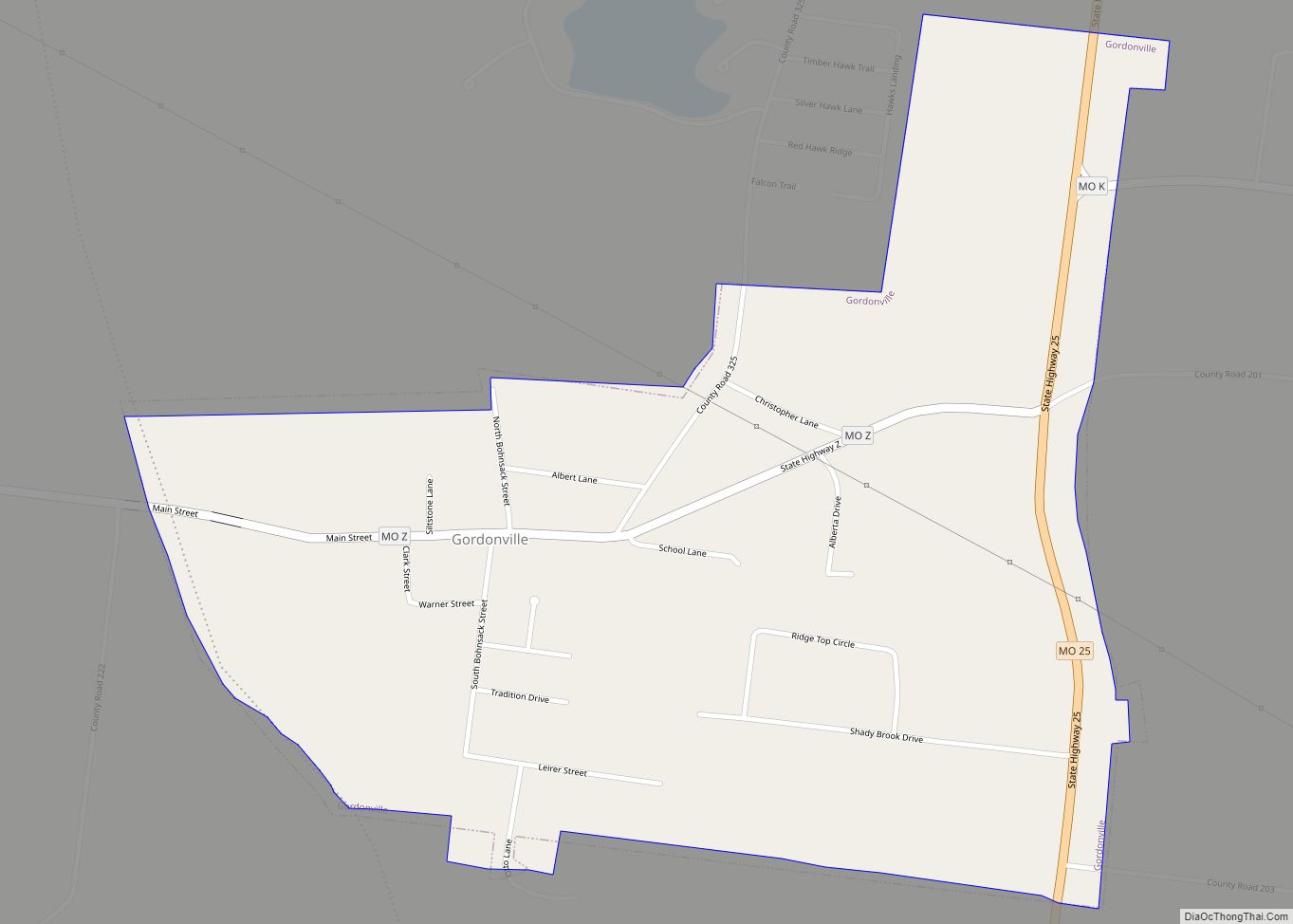
Gordonville is a village in Cape Giradeau County, Missouri, United States. The population was 625 at the 2020 census. It is part of the Cape Girardeau–Jackson, MO-IL Metropolitan Statistical Area. Gordonville village overview: Name: Gordonville village LSAD Code: 47 LSAD Description: village (suffix) State: Missouri County: Cape Girardeau County Elevation: 404 ft (123 m) Total Area: 0.78 sq mi ... Read more
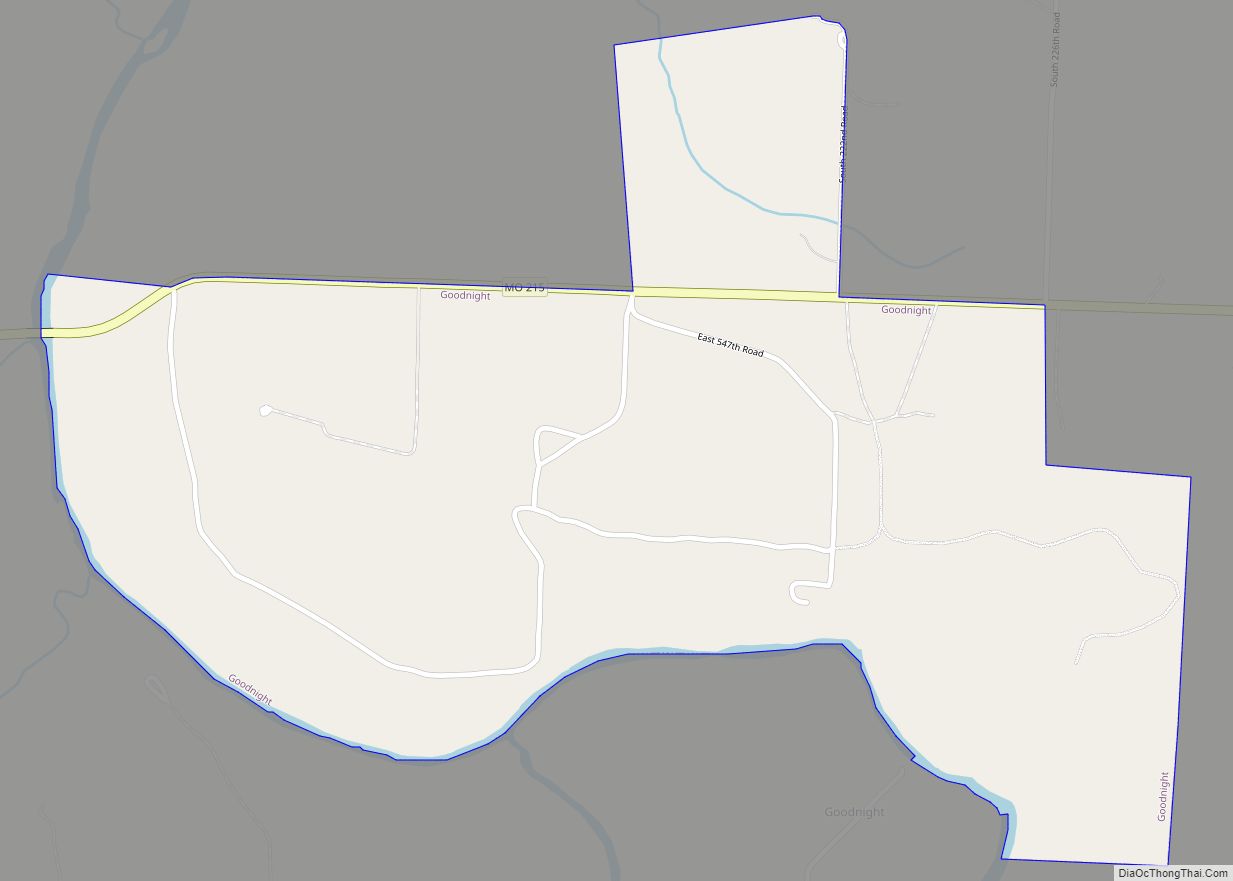
Goodnight is a village in southern Polk County, Missouri, United States. Located on Route 215, the community is part of the Springfield, Missouri Metropolitan Statistical Area. The population was 18 at the 2010 census. Goodnight village overview: Name: Goodnight village LSAD Code: 47 LSAD Description: village (suffix) State: Missouri County: Polk County Incorporated: February 24, ... Read more
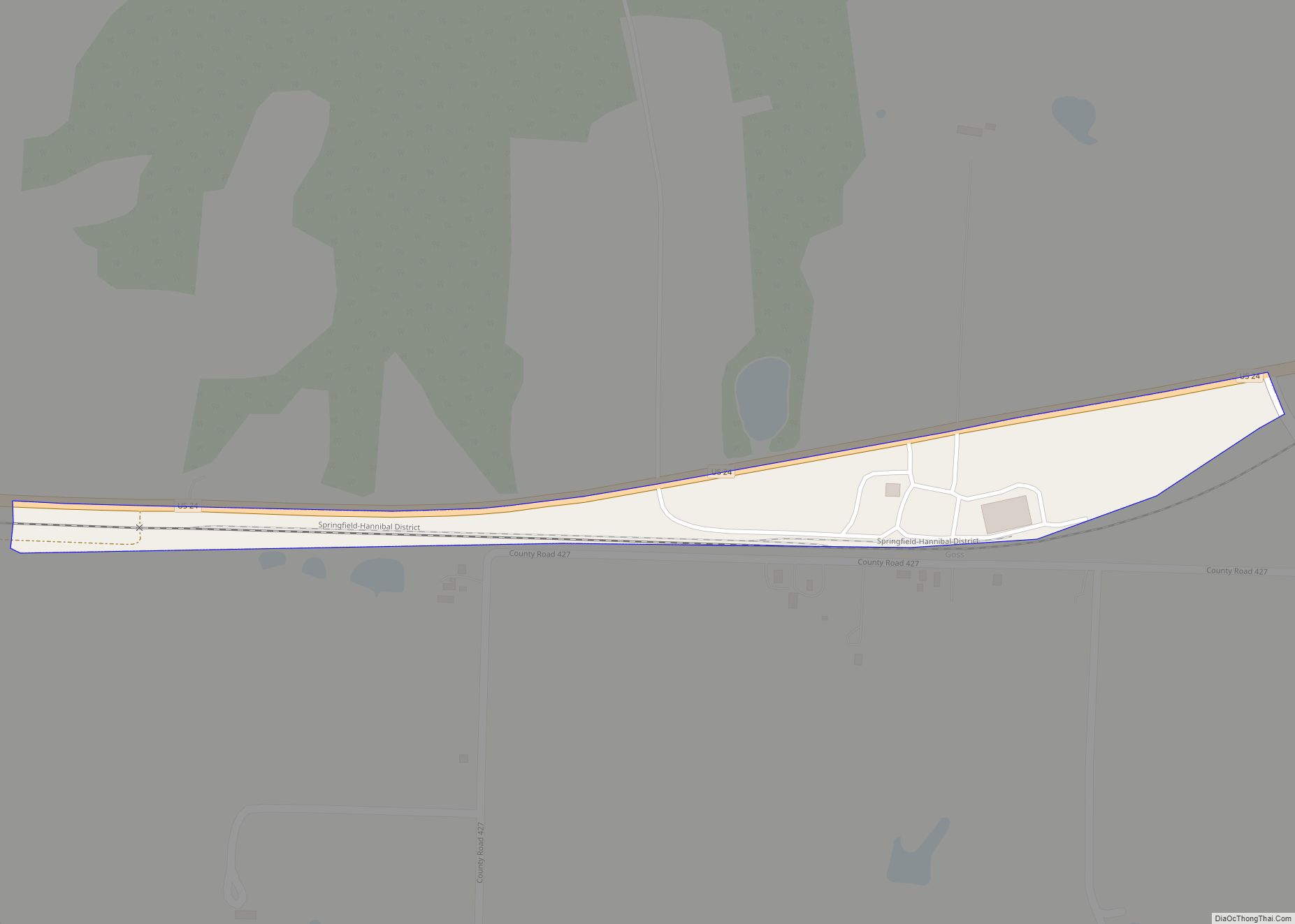
Goss town overview: Name: Goss town LSAD Code: 43 LSAD Description: town (suffix) State: Missouri County: Monroe County FIPS code: 2928000 Online Interactive Map Goss online map. Source: Basemap layers from Google Map, Open Street Map (OSM), Arcgisonline, Wmflabs. Boundary Data from Database of Global Administrative Areas. Goss location map. Where is Goss town? Goss ... Read more
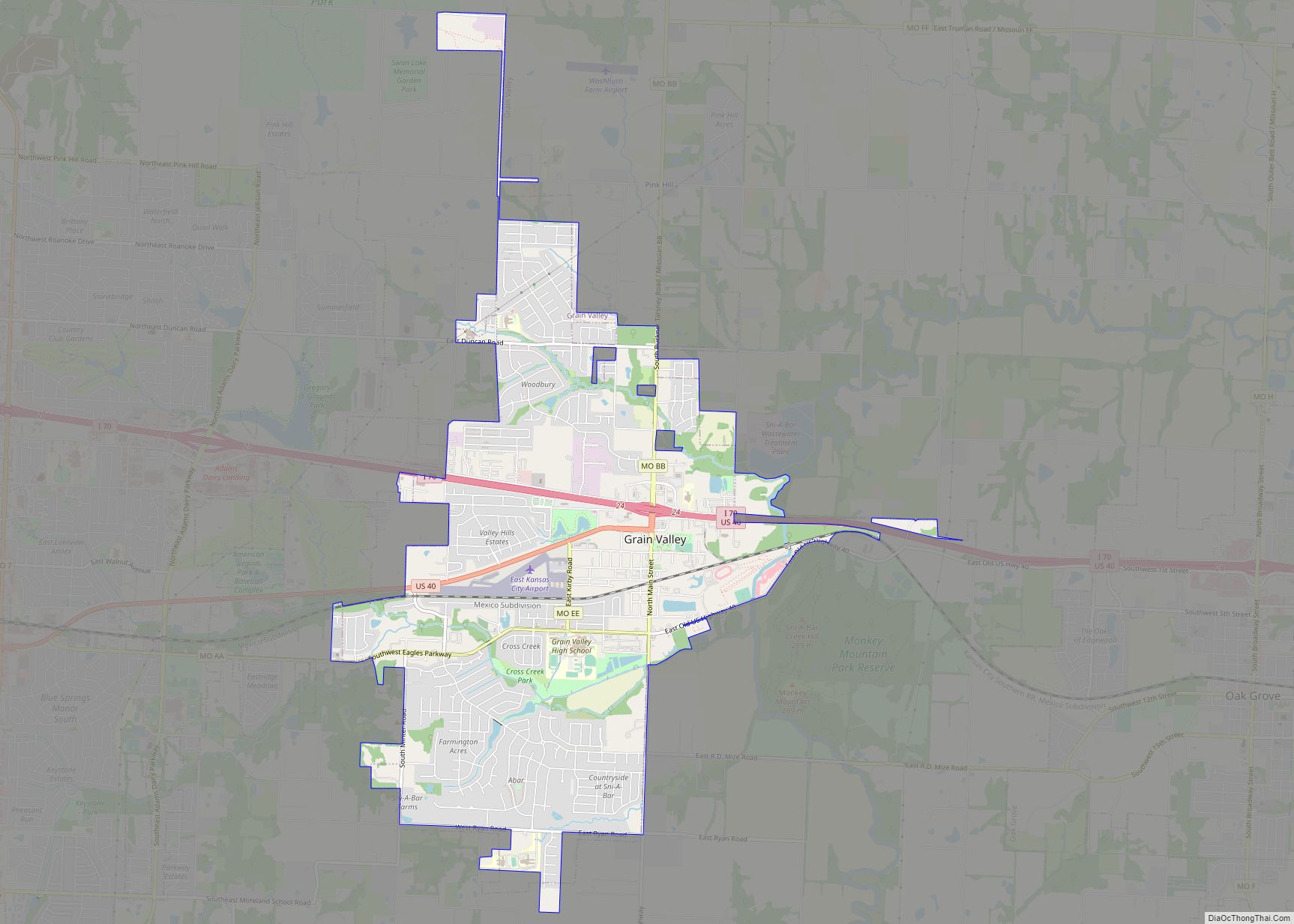
Grain Valley is a city in Jackson County, Missouri, United States. Grain Valley is located in the Kansas City Metropolitan Area and is a suburb of Kansas City. The population was 12,854 at the 2010 census and an estimated 14,526 in 2019. It is 23 miles (37 km) east of downtown Kansas City. Grain Valley city ... Read more
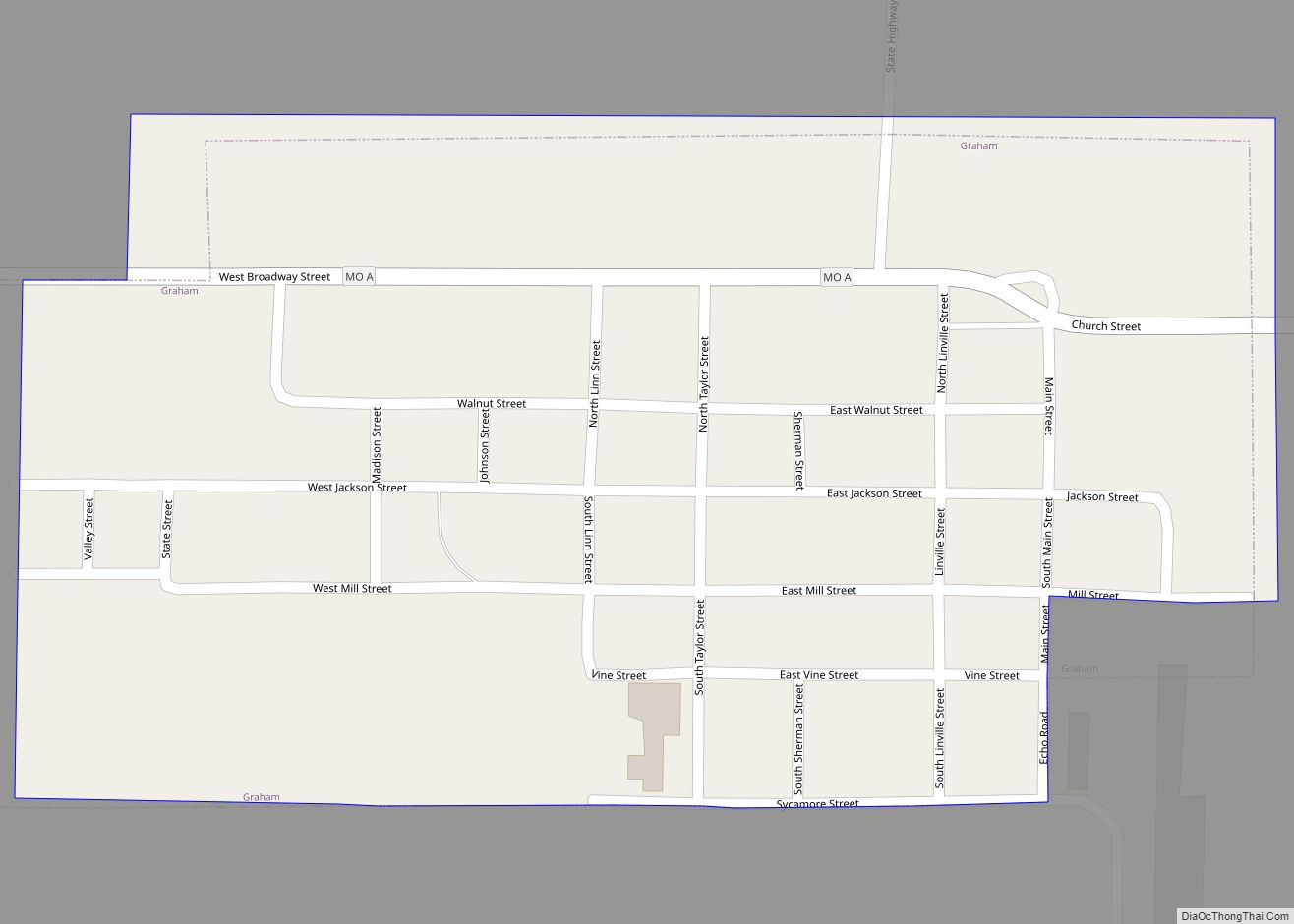
Graham is a city in Nodaway County, Missouri, United States. The population was 171 at the 2010 census. Graham town overview: Name: Graham town LSAD Code: 43 LSAD Description: town (suffix) State: Missouri County: Nodaway County Elevation: 958 ft (292 m) Total Area: 0.27 sq mi (0.69 km²) Land Area: 0.27 sq mi (0.69 km²) Water Area: 0.00 sq mi (0.00 km²) Total Population: 147 Population ... Read more
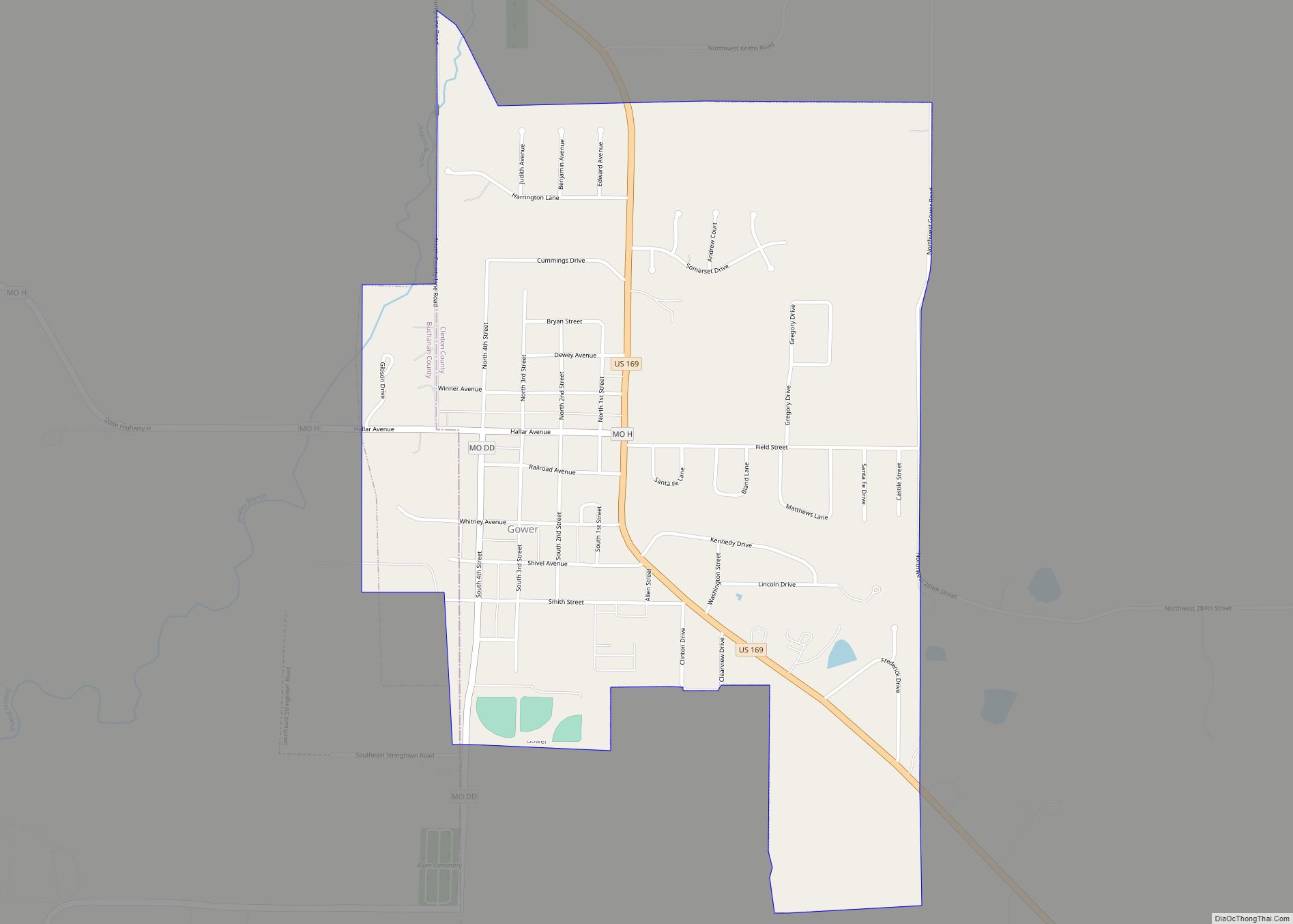
Gower is a city in Buchanan and Clinton counties in the U.S. state of Missouri and is part of the Kansas City metropolitan area. The population was 1,526 at the 2010 census. The Buchanan County portion of Gower is part of the St. Joseph, MO–KS Metropolitan Statistical Area, while the Clinton County portion is part ... Read more
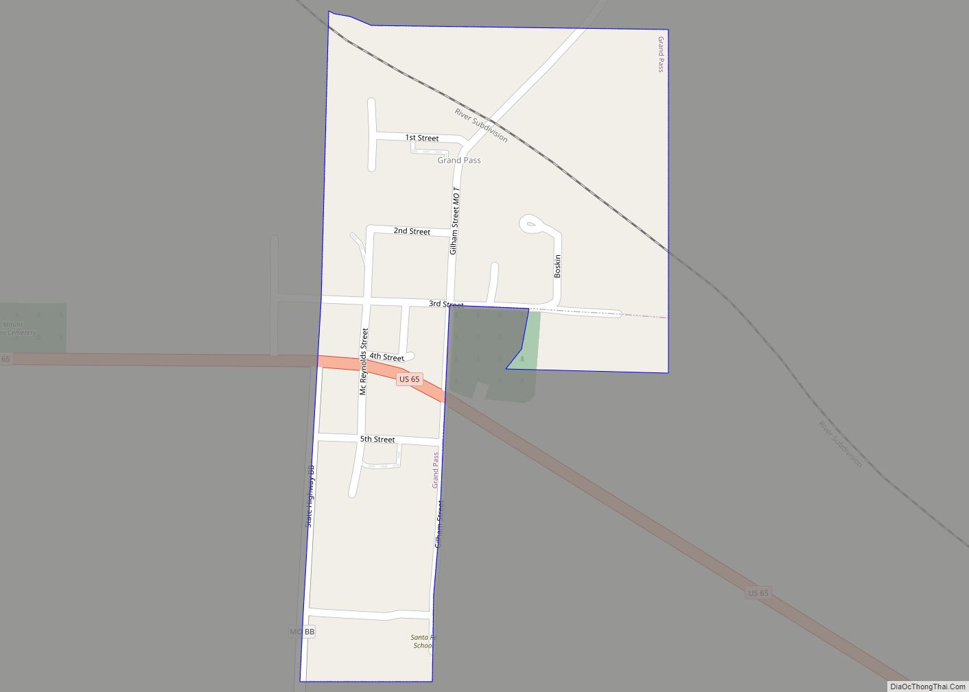
Grand Pass is a village in Saline County, Missouri, United States. The population was 66 at the 2010 census. Grand Pass village overview: Name: Grand Pass village LSAD Code: 47 LSAD Description: village (suffix) State: Missouri County: Saline County Elevation: 719 ft (219 m) Total Area: 0.11 sq mi (0.28 km²) Land Area: 0.11 sq mi (0.28 km²) Water Area: 0.00 sq mi (0.00 km²) Total ... Read more
