Golden City is a city in Golden City Township, Barton County, Missouri, United States. The population was 656 at the 2020 census.
| Name: | Golden City city |
|---|---|
| LSAD Code: | 25 |
| LSAD Description: | city (suffix) |
| State: | Missouri |
| County: | Barton County |
| Elevation: | 1,060 ft (320 m) |
| Total Area: | 1.04 sq mi (2.68 km²) |
| Land Area: | 1.03 sq mi (2.68 km²) |
| Water Area: | 0.00 sq mi (0.00 km²) |
| Total Population: | 656 |
| Population Density: | 633.82/sq mi (244.81/km²) |
| ZIP code: | 64748 |
| Area code: | 417 |
| FIPS code: | 2927676 |
| GNISfeature ID: | 2394923 |
| Website: | www.goldencitymo.com |
Online Interactive Map
Click on ![]() to view map in "full screen" mode.
to view map in "full screen" mode.
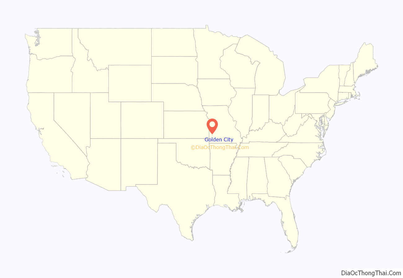
Golden City location map. Where is Golden City city?
History
Golden City was established in 1867 as a stop on the Butterfield Stagecoach Line. It takes its name from a nearby area known as Golden Grove. In reality the diggings were done by Indians mining an outcropping of exceptionally fine flint. Another rumor for its naming stems from the Indian dig sites, early settlers thought the flint mines were Spanish gold mines. It was re-platted in 1870. The Golden City Herald served the community from 1881 until Dec. 28, 1972. Dellard Surbrugg published the newspaper and ran a commercial printing business from 1940 until he sold the paper to Gene Wotkiewicz, editor and publisher of the Lockwood Luminary.
2019 tornado
At approximately 9:30 PM on May 22, 2019, an EF-3 tornado struck the city. The storm killed three people and injured a few others. Many homes were unsalvageable.
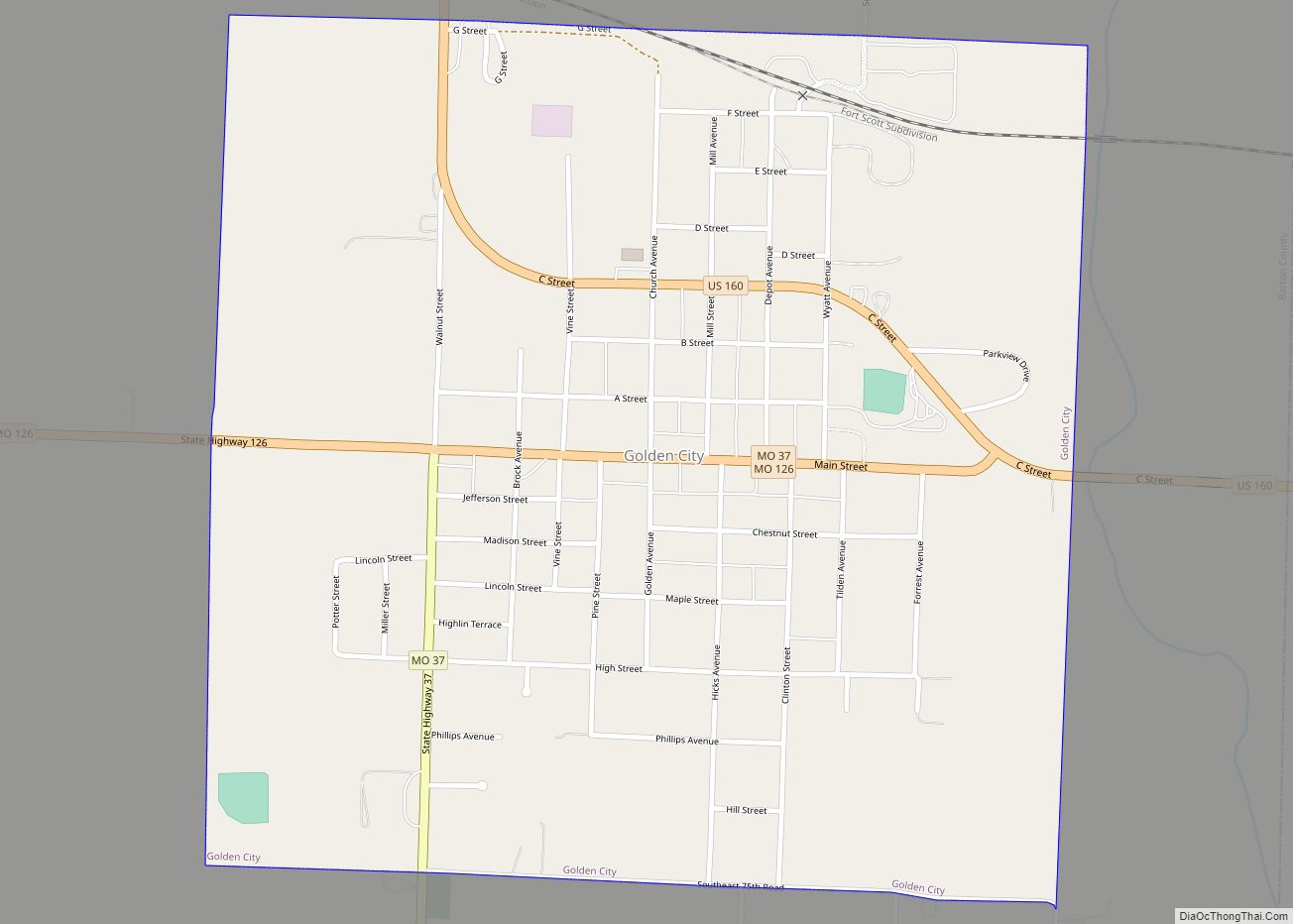
Golden City Road Map
Golden City city Satellite Map
Geography
According to the United States Census Bureau, the city has a total area of 1.03 square miles (2.67 km), all land.
Golden City is located in the heart of Missouri Tall Grass Prairie country. Several preserved prairies are located within a few miles of town, the most significant of which are the Golden Prairie, the Cook Meadow and the Pennsylvania Prairie.
See also
Map of Missouri State and its subdivision:- Adair
- Andrew
- Atchison
- Audrain
- Barry
- Barton
- Bates
- Benton
- Bollinger
- Boone
- Buchanan
- Butler
- Caldwell
- Callaway
- Camden
- Cape Girardeau
- Carroll
- Carter
- Cass
- Cedar
- Chariton
- Christian
- Clark
- Clay
- Clinton
- Cole
- Cooper
- Crawford
- Dade
- Dallas
- Daviess
- De Kalb
- Dent
- Douglas
- Dunklin
- Franklin
- Gasconade
- Gentry
- Greene
- Grundy
- Harrison
- Henry
- Hickory
- Holt
- Howard
- Howell
- Iron
- Jackson
- Jasper
- Jefferson
- Johnson
- Knox
- Laclede
- Lafayette
- Lawrence
- Lewis
- Lincoln
- Linn
- Livingston
- Macon
- Madison
- Maries
- Marion
- McDonald
- Mercer
- Miller
- Mississippi
- Moniteau
- Monroe
- Montgomery
- Morgan
- New Madrid
- Newton
- Nodaway
- Oregon
- Osage
- Ozark
- Pemiscot
- Perry
- Pettis
- Phelps
- Pike
- Platte
- Polk
- Pulaski
- Putnam
- Ralls
- Randolph
- Ray
- Reynolds
- Ripley
- Saint Charles
- Saint Clair
- Saint Francois
- Saint Louis
- Sainte Genevieve
- Saline
- Schuyler
- Scotland
- Scott
- Shannon
- Shelby
- Stoddard
- Stone
- Sullivan
- Taney
- Texas
- Vernon
- Warren
- Washington
- Wayne
- Webster
- Worth
- Wright
- Alabama
- Alaska
- Arizona
- Arkansas
- California
- Colorado
- Connecticut
- Delaware
- District of Columbia
- Florida
- Georgia
- Hawaii
- Idaho
- Illinois
- Indiana
- Iowa
- Kansas
- Kentucky
- Louisiana
- Maine
- Maryland
- Massachusetts
- Michigan
- Minnesota
- Mississippi
- Missouri
- Montana
- Nebraska
- Nevada
- New Hampshire
- New Jersey
- New Mexico
- New York
- North Carolina
- North Dakota
- Ohio
- Oklahoma
- Oregon
- Pennsylvania
- Rhode Island
- South Carolina
- South Dakota
- Tennessee
- Texas
- Utah
- Vermont
- Virginia
- Washington
- West Virginia
- Wisconsin
- Wyoming
