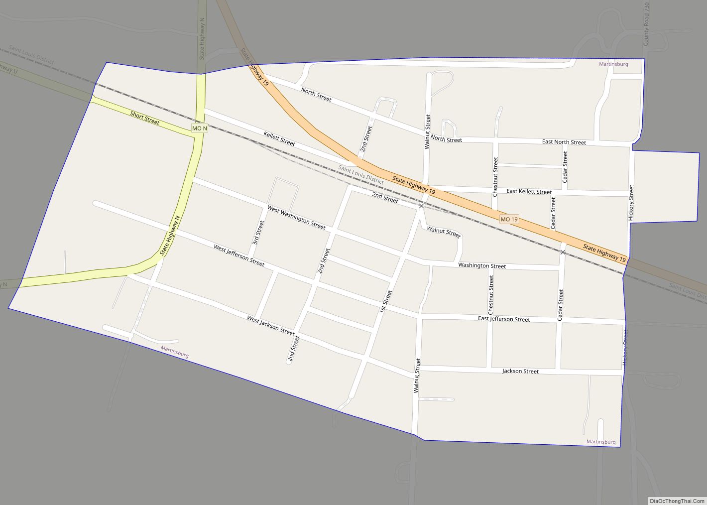
Martinsburg is a city in Audrain County, Missouri, United States. The population was 304 at the 2010 census. Martinsburg town overview: Name: Martinsburg town LSAD Code: 43 LSAD Description: town (suffix) State: Missouri County: Audrain County Founded: 1857 Elevation: 804 ft (245 m) Total Area: 0.27 sq mi (0.71 km²) Land Area: 0.27 sq mi (0.71 km²) Water Area: 0.00 sq mi (0.00 km²) Total Population: ... Read more
Missouri Cities and Places
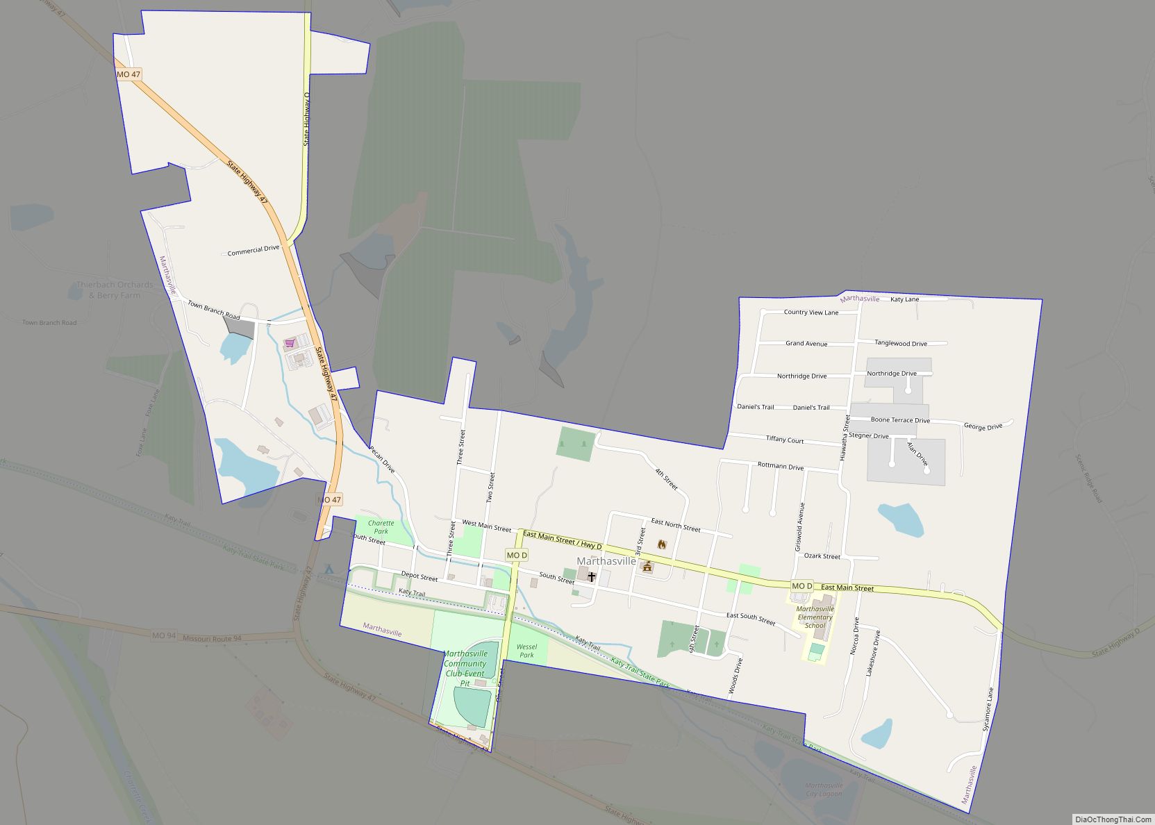
Marthasville is a city in Warren County, Missouri, United States. The population was 1,136 at the 2010 census. The Katy Trail, a 225-mile long bike path, passes through Marthasville. The original graves of Daniel Boone and his wife were located near there. In 1845, Boone’s remains were disinterred and moved to Kentucky for burial. Resentment ... Read more
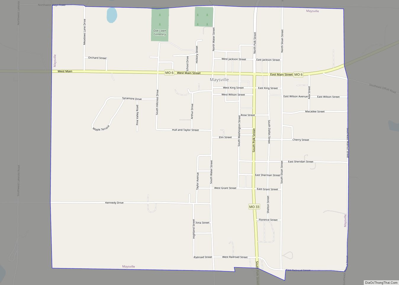
Maysville is a city in DeKalb County, Missouri, United States. The population was 1,095 at the 2020 census. Maysville is the county seat of DeKalb County. Maysville is part of the St. Joseph, MO–KS Metropolitan Statistical Area. Maysville city overview: Name: Maysville city LSAD Code: 25 LSAD Description: city (suffix) State: Missouri County: DeKalb County ... Read more
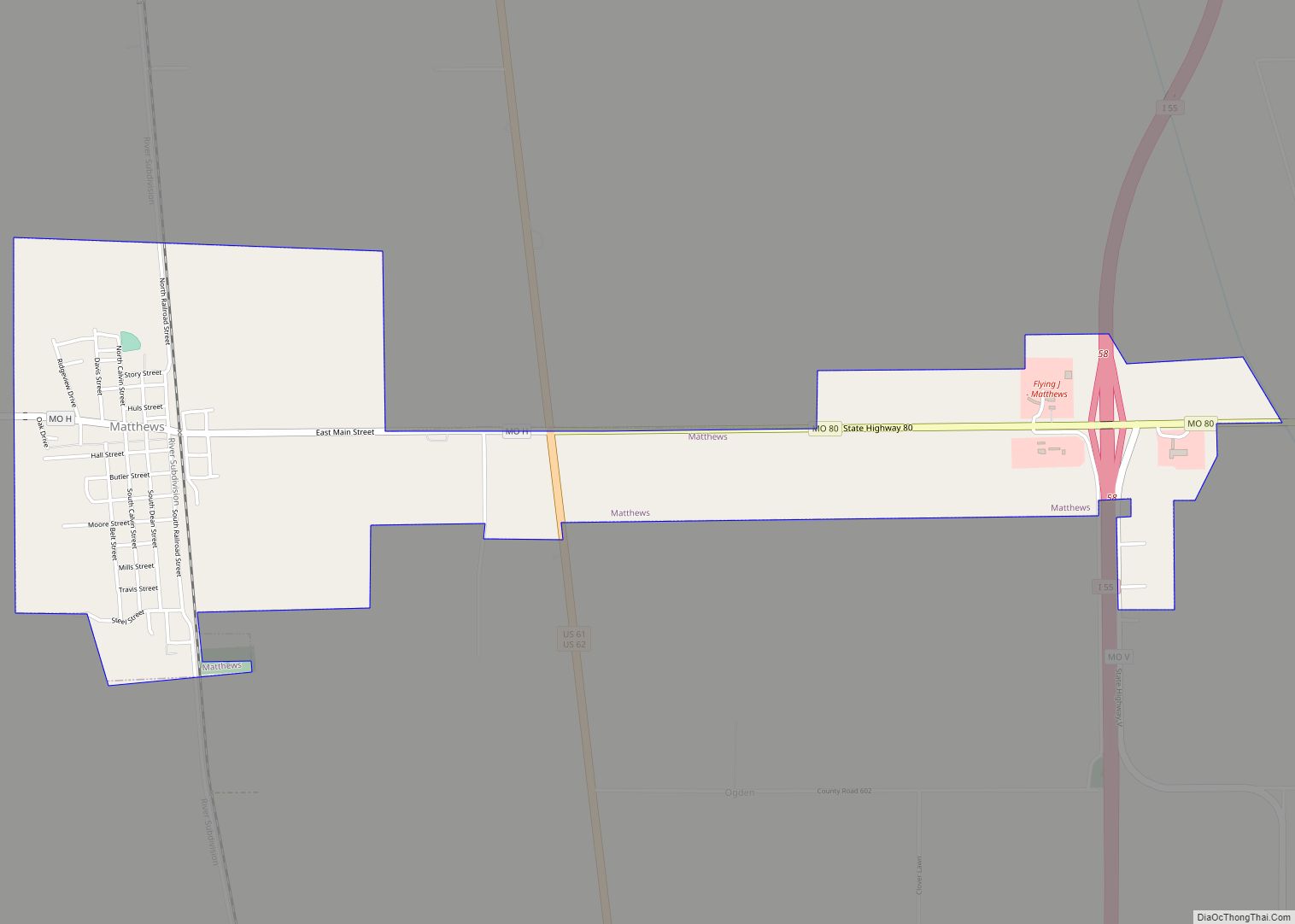
Matthews is a city in New Madrid County, Missouri, United States. The population was 628 at the 2010 census. Matthews city overview: Name: Matthews city LSAD Code: 25 LSAD Description: city (suffix) State: Missouri County: New Madrid County Elevation: 312 ft (95 m) Total Area: 1.96 sq mi (5.07 km²) Land Area: 1.96 sq mi (5.07 km²) Water Area: 0.00 sq mi (0.00 km²) Total Population: ... Read more
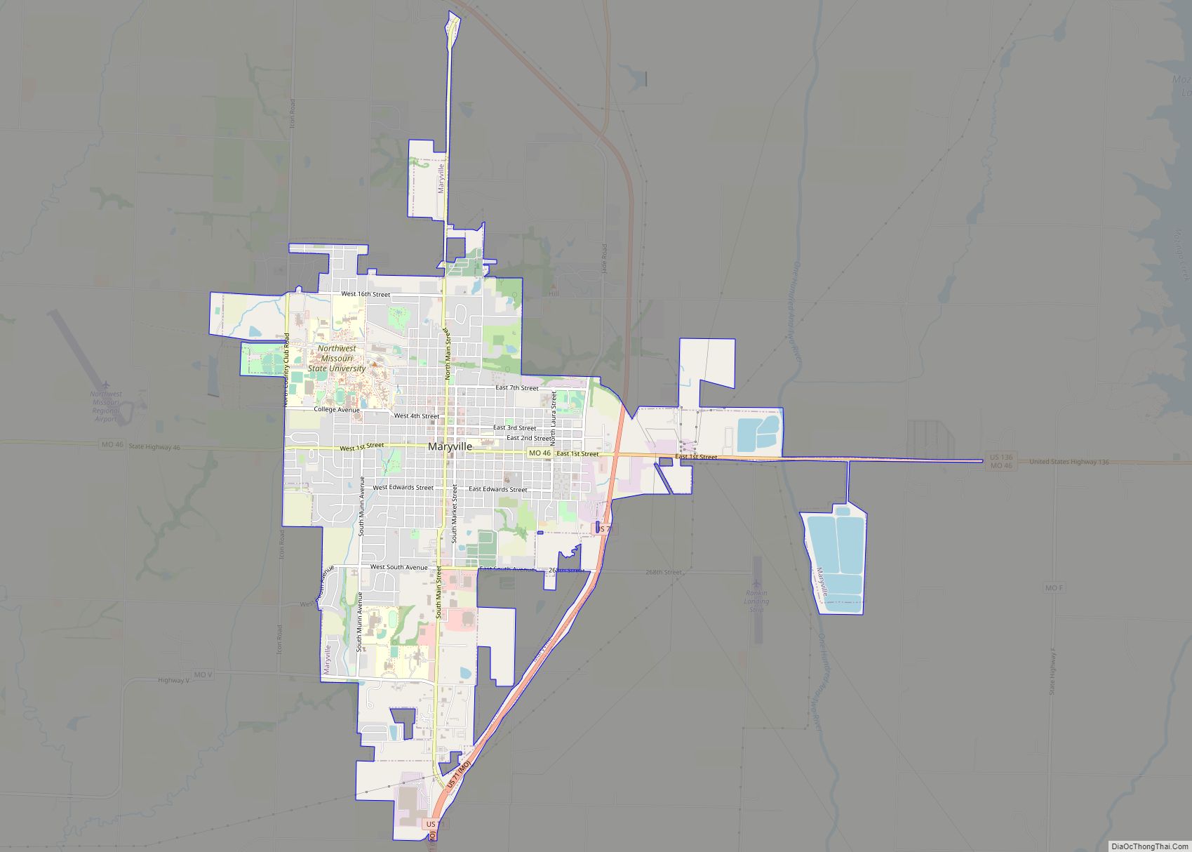
Maryville is a city and county seat of Nodaway County, Missouri, United States. Located in the “Missouri Point” region, As of the 2020 census, the city population was 10,633. Maryville is home to Northwest Missouri State University and Northwest Technical School. Maryville is the second largest city (first is St. Joseph, Missouri) wholly within the ... Read more
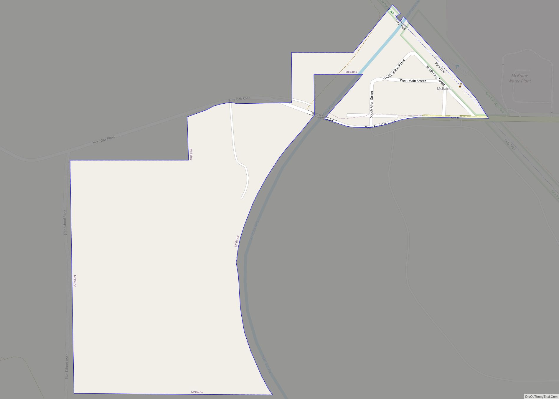
McBaine town overview: Name: McBaine town LSAD Code: 43 LSAD Description: town (suffix) State: Missouri County: Boone County FIPS code: 2944768 Online Interactive Map McBaine online map. Source: Basemap layers from Google Map, Open Street Map (OSM), Arcgisonline, Wmflabs. Boundary Data from Database of Global Administrative Areas. McBaine location map. Where is McBaine town? McBaine ... Read more
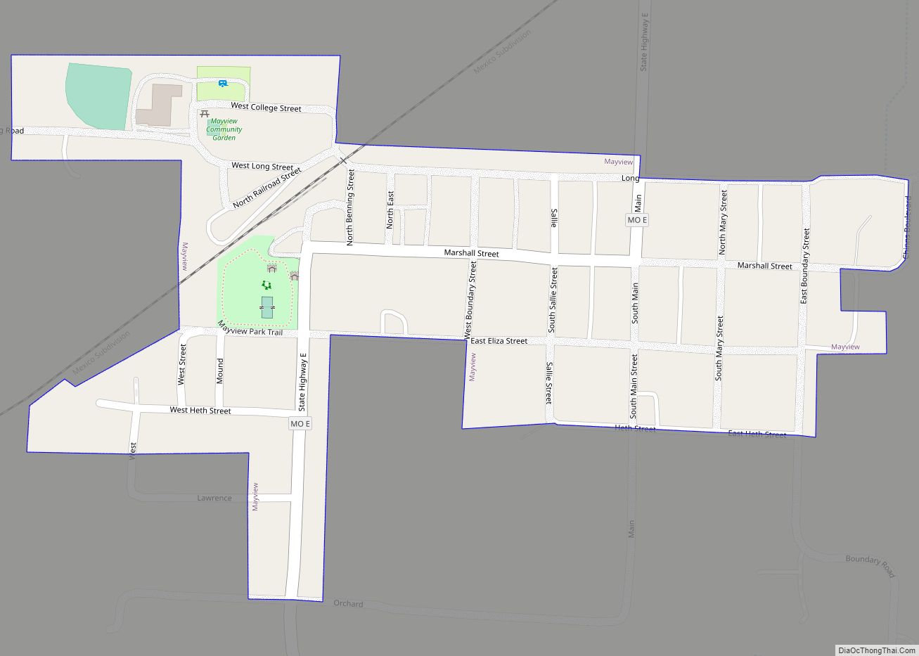
Mayview is a city in Lafayette County, Missouri, and part of the Kansas City metropolitan area within the United States. The population was 211 at the 2010 census. Mayview city overview: Name: Mayview city LSAD Code: 25 LSAD Description: city (suffix) State: Missouri County: Lafayette County Elevation: 886 ft (270 m) Total Area: 0.16 sq mi (0.41 km²) Land Area: ... Read more
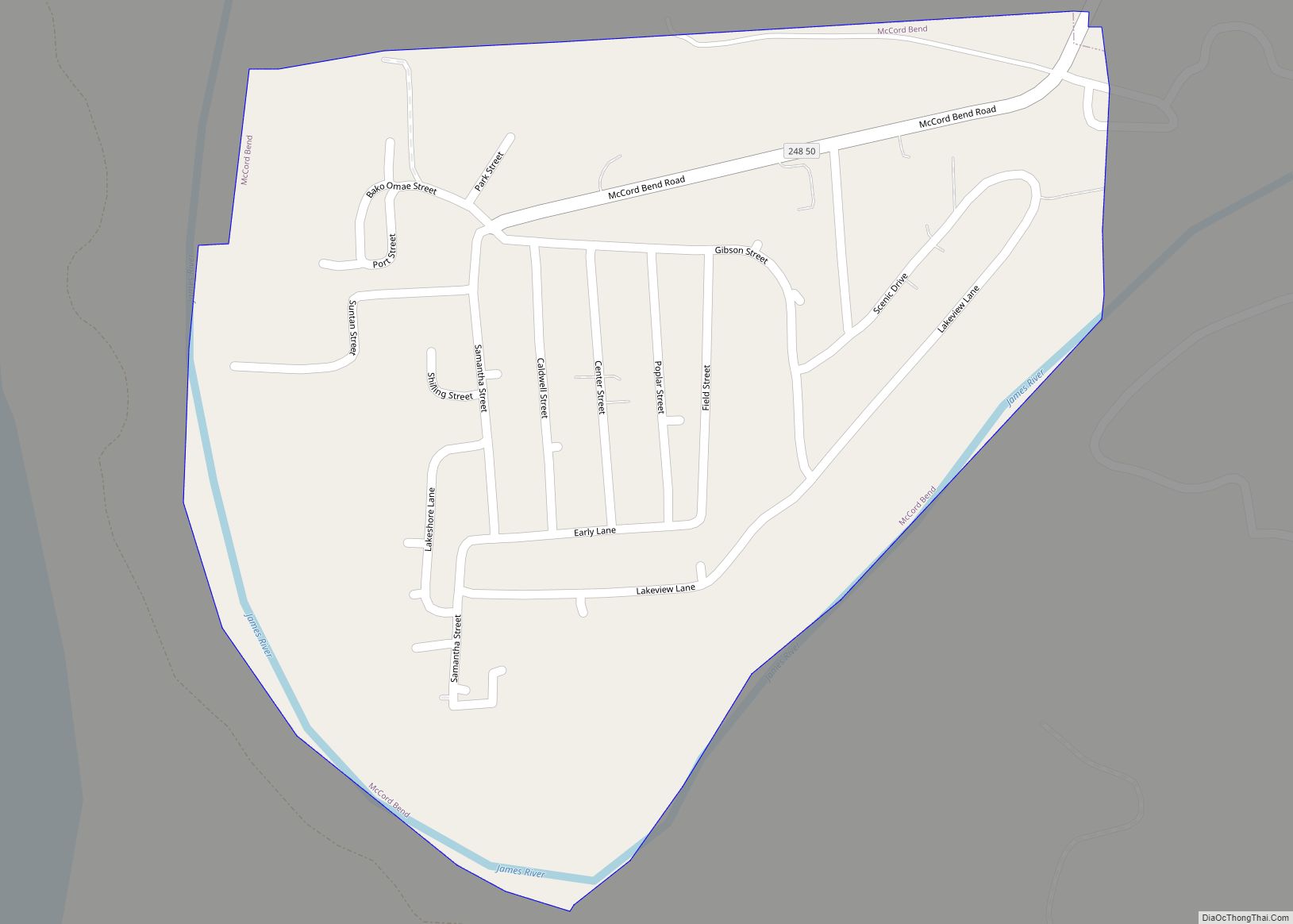
McCord Bend is a village in Stone County, Missouri, United States. The population was 212 at the 2020 census. It is part of the Branson, Missouri Micropolitan Statistical Area. McCord Bend village overview: Name: McCord Bend village LSAD Code: 47 LSAD Description: village (suffix) State: Missouri County: Stone County Elevation: 997 ft (304 m) Total Area: 0.32 sq mi ... Read more
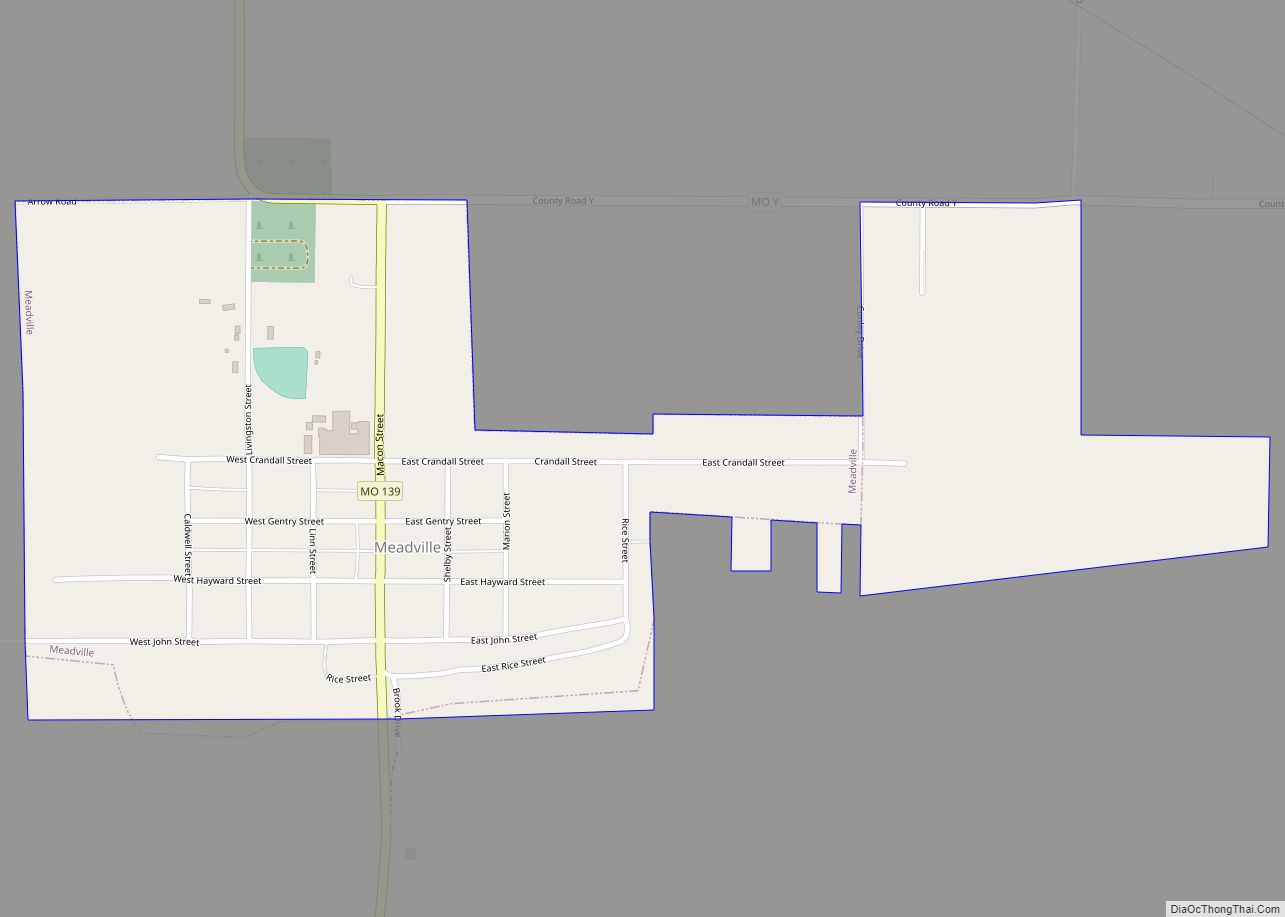
Meadville is a city in southwest Linn County, Missouri, United States. The population was 415 at the 2020 census. Meadville city overview: Name: Meadville city LSAD Code: 25 LSAD Description: city (suffix) State: Missouri County: Linn County Elevation: 761 ft (232 m) Total Area: 0.54 sq mi (1.40 km²) Land Area: 0.54 sq mi (1.40 km²) Water Area: 0.00 sq mi (0.00 km²) Total Population: 415 ... Read more
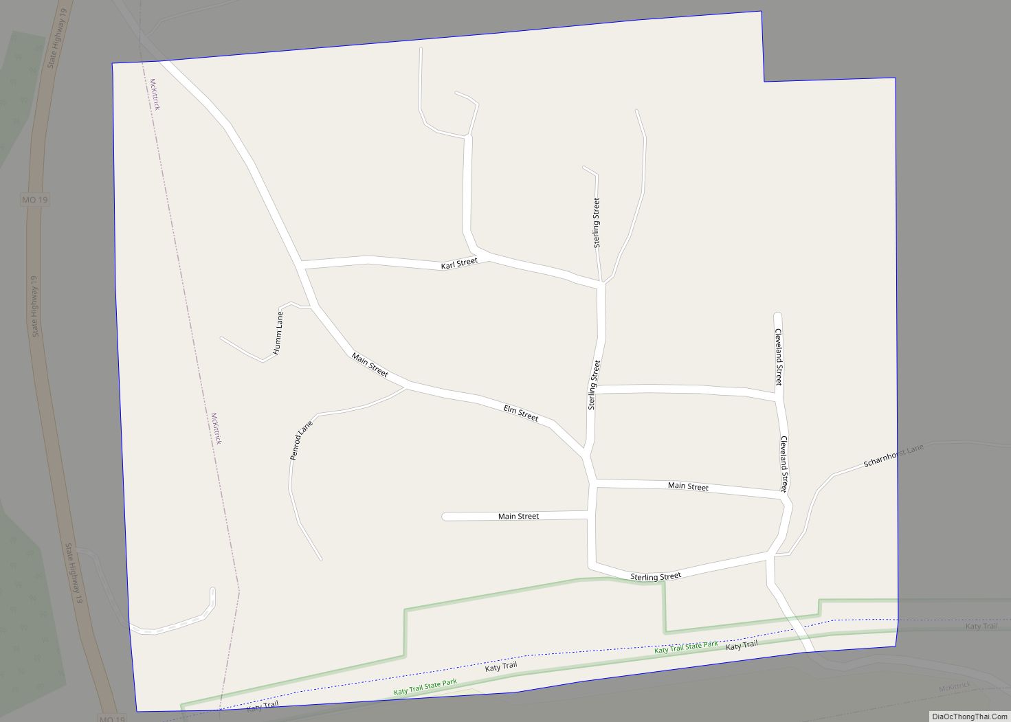
McKittrick is a city in Montgomery County, Missouri, United States. The population was 77 at the 2020 census. McKittrick town overview: Name: McKittrick town LSAD Code: 43 LSAD Description: town (suffix) State: Missouri County: Montgomery County Elevation: 558 ft (170 m) Total Area: 0.49 sq mi (1.26 km²) Land Area: 0.49 sq mi (1.26 km²) Water Area: 0.00 sq mi (0.00 km²) Total Population: 77 Population ... Read more
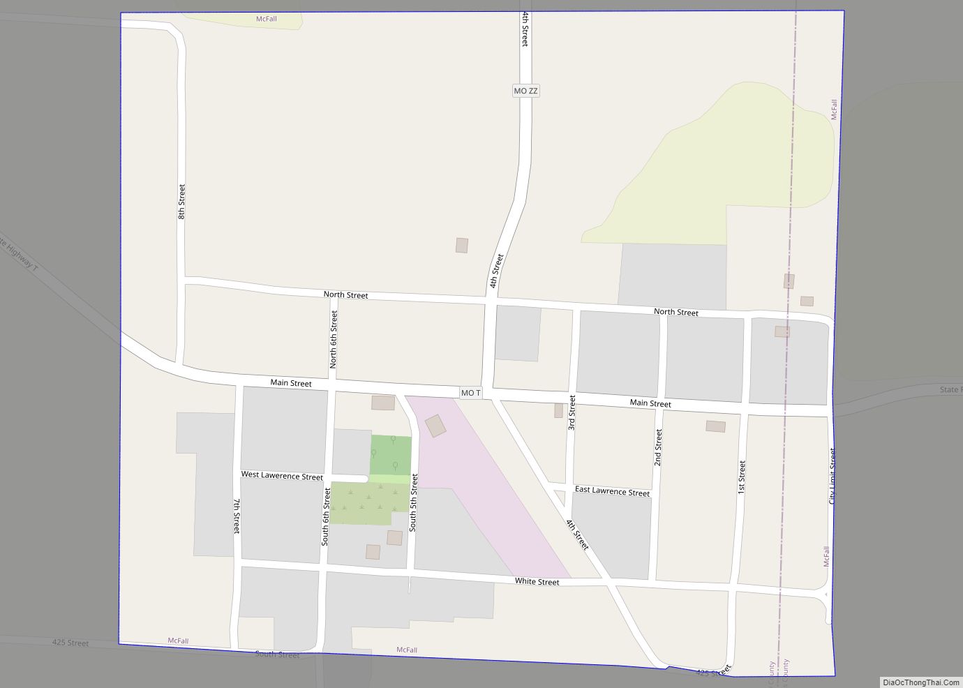
McFall is a city in southeast Gentry County, Missouri, United States. The population was 119 at the 2020 census. McFall city overview: Name: McFall city LSAD Code: 25 LSAD Description: city (suffix) State: Missouri County: Gentry County Elevation: 984 ft (300 m) Total Area: 0.31 sq mi (0.80 km²) Land Area: 0.31 sq mi (0.80 km²) Water Area: 0.00 sq mi (0.00 km²) Total Population: 119 ... Read more
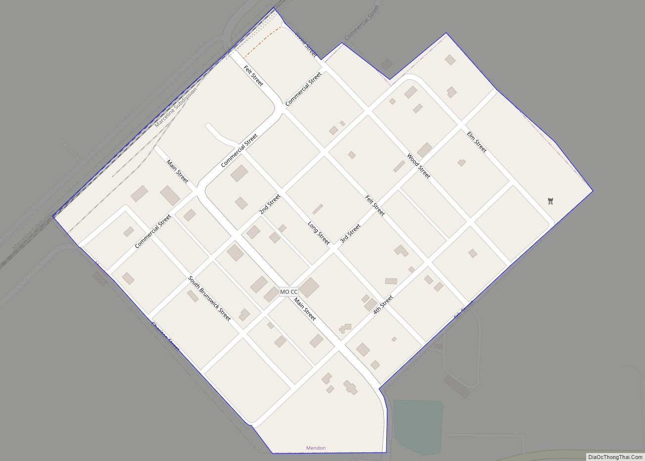
Mendon is a city in western Chariton County, Missouri, United States. The population was 163 at the 2020 census. Mendon city overview: Name: Mendon city LSAD Code: 25 LSAD Description: city (suffix) State: Missouri County: Chariton County Elevation: 705 ft (215 m) Total Area: 0.18 sq mi (0.46 km²) Land Area: 0.18 sq mi (0.46 km²) Water Area: 0.00 sq mi (0.00 km²) Total Population: 163 ... Read more
