Marthasville is a city in Warren County, Missouri, United States. The population was 1,136 at the 2010 census. The Katy Trail, a 225-mile long bike path, passes through Marthasville.
The original graves of Daniel Boone and his wife were located near there. In 1845, Boone’s remains were disinterred and moved to Kentucky for burial. Resentment in Missouri about the disinterment grew over the years, and a legend arose that Boone’s remains never left Missouri.
Because of the many wineries from here east to Defiance, Marthasville is considered to mark one end of the “Missouri Weinstrasse”.
| Name: | Marthasville city |
|---|---|
| LSAD Code: | 25 |
| LSAD Description: | city (suffix) |
| State: | Missouri |
| County: | Warren County |
| Elevation: | 561 ft (171 m) |
| Total Area: | 0.86 sq mi (2.22 km²) |
| Land Area: | 0.85 sq mi (2.21 km²) |
| Water Area: | 0.00 sq mi (0.01 km²) |
| Total Population: | 1,245 |
| Population Density: | 1,457.85/sq mi (562.84/km²) |
| ZIP code: | 63357 |
| Area code: | 636 |
| FIPS code: | 2946424 |
| GNISfeature ID: | 0721912 |
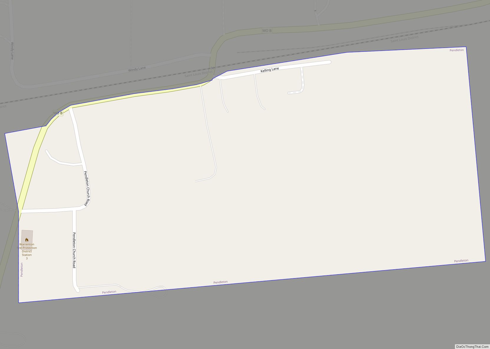
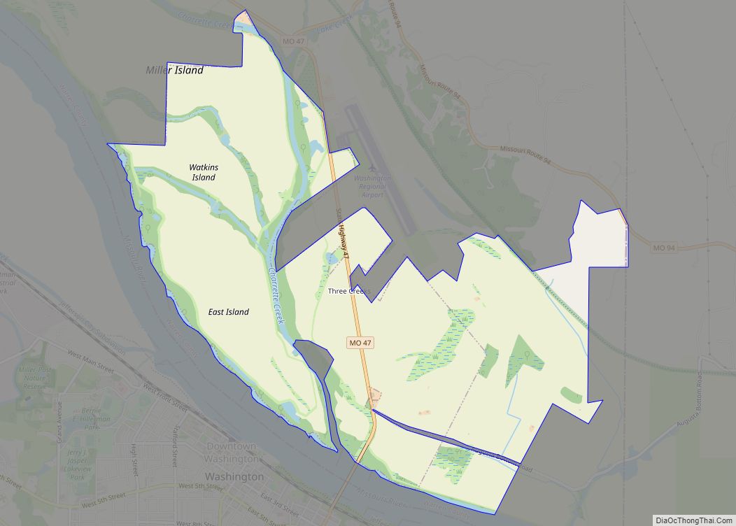
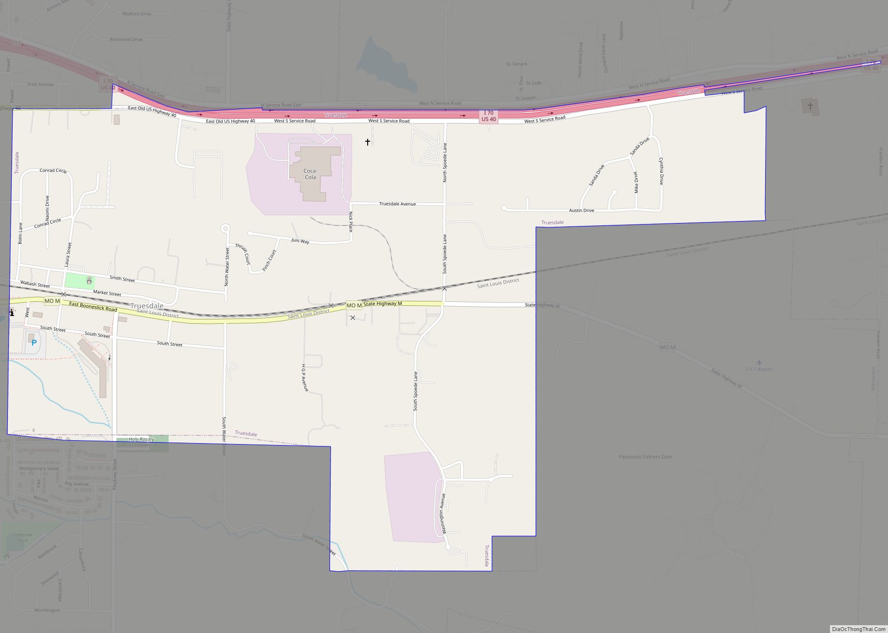
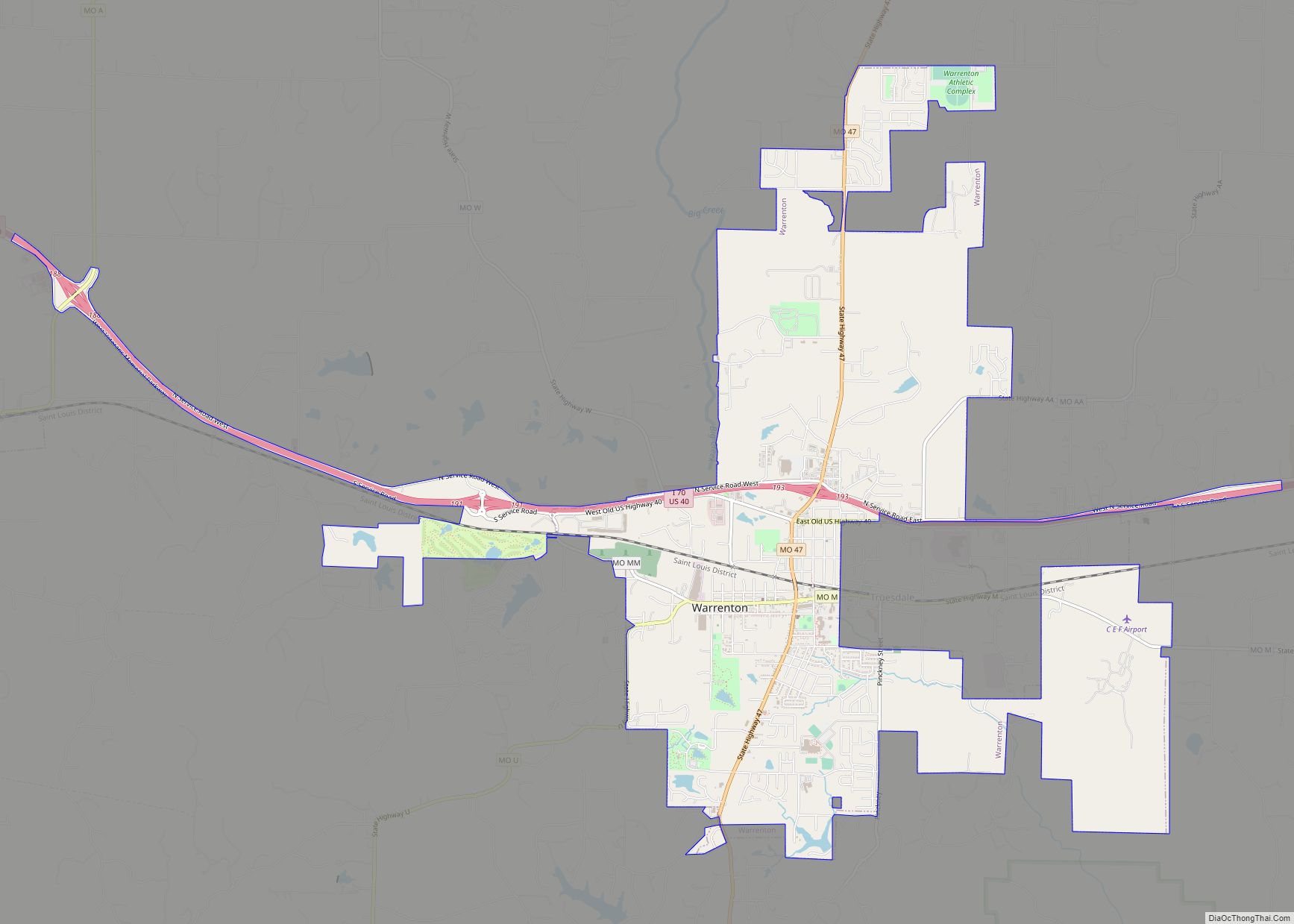
Online Interactive Map
Click on ![]() to view map in "full screen" mode.
to view map in "full screen" mode.
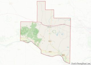
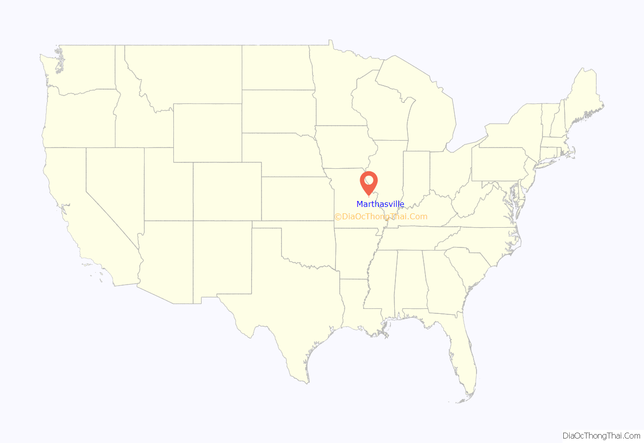
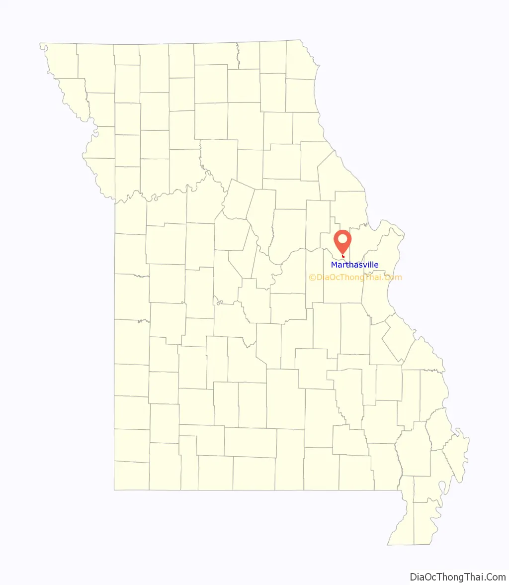
Marthasville location map. Where is Marthasville city?
History
A post office called Marthasville has been in operation since 1825. The identity of namesake “Martha” is disputed.
The Herman H. Fortmann Building, Marthasville Hardware Building, and Starke-Meinershagen-Boeke Rural Historic District are listed on the National Register of Historic Places. The Borgmann Mill and Flanders Callaway House were formerly listed.
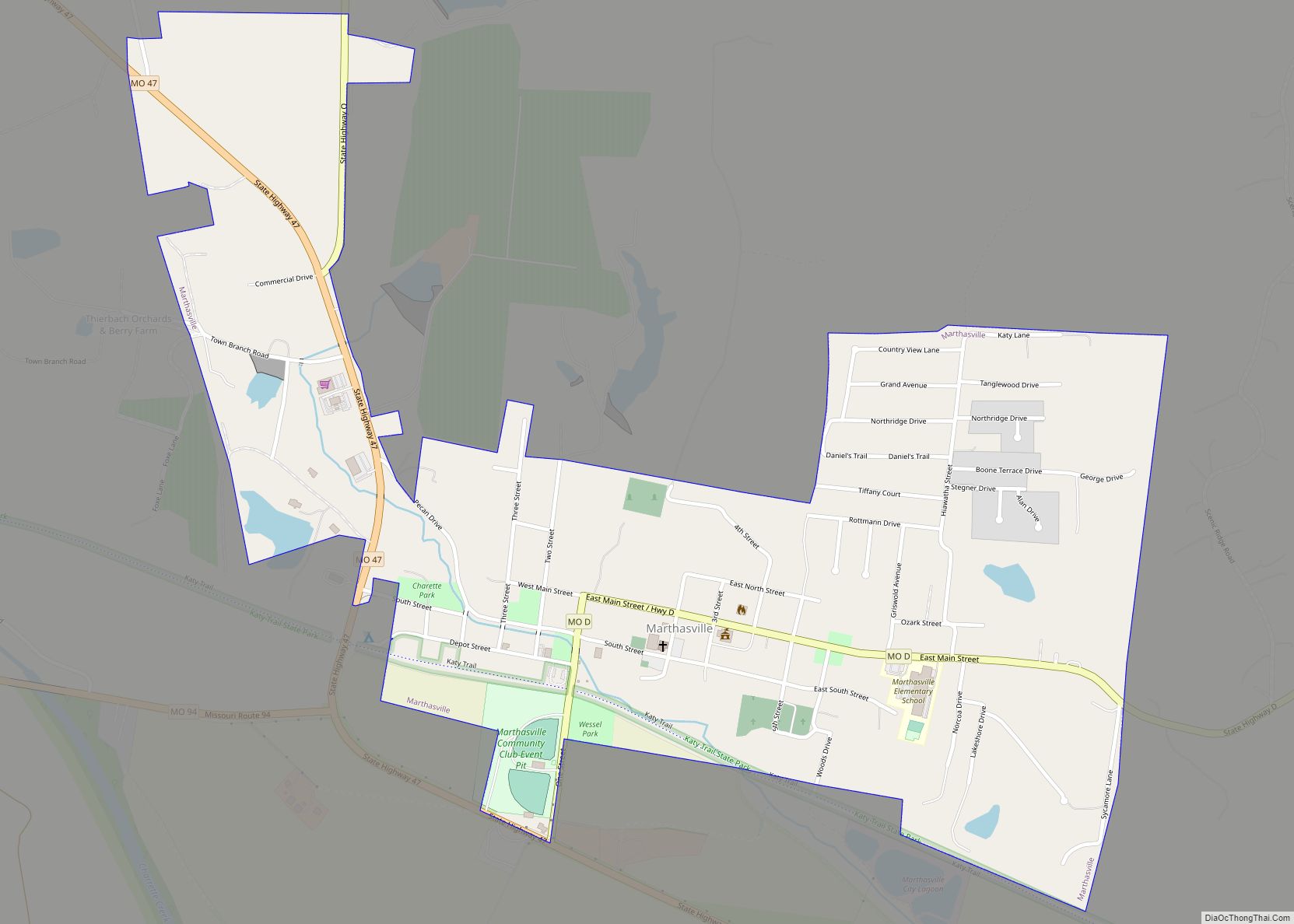
Marthasville Road Map
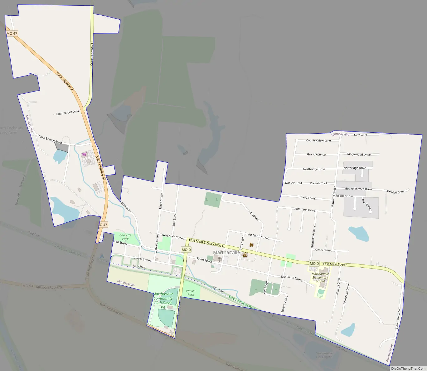
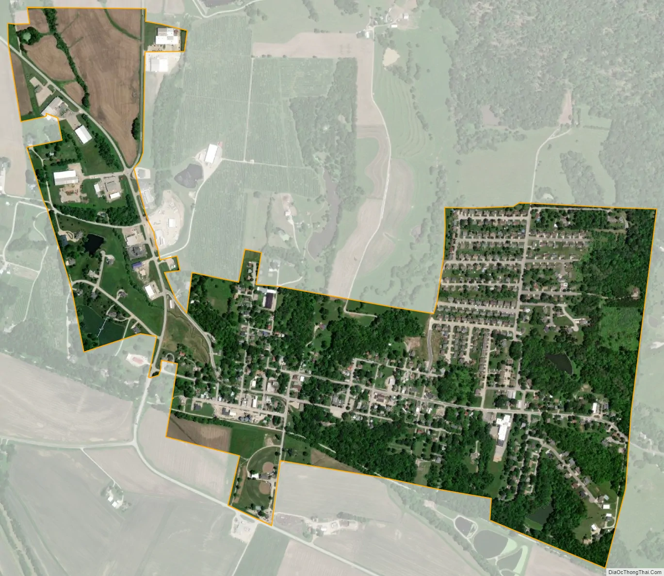
Marthasville city Satellite Map
Geography
Marthasville is located at 38°37′50″N 91°3′32″W / 38.63056°N 91.05889°W / 38.63056; -91.05889 (38.630458, -91.058864). According to the United States Census Bureau, the city has a total area of 0.86 square miles (2.23 km), of which 0.85 square miles (2.20 km) is land and 0.01 square miles (0.03 km) is water.
Due to the rich soils and steep slopes, the landscape is highly suitable for viticulture, growing grapes and maintaining vineyards. Thus Marthasville became part of what is known as the Missouri “wine route”.
See also
Map of Missouri State and its subdivision:- Adair
- Andrew
- Atchison
- Audrain
- Barry
- Barton
- Bates
- Benton
- Bollinger
- Boone
- Buchanan
- Butler
- Caldwell
- Callaway
- Camden
- Cape Girardeau
- Carroll
- Carter
- Cass
- Cedar
- Chariton
- Christian
- Clark
- Clay
- Clinton
- Cole
- Cooper
- Crawford
- Dade
- Dallas
- Daviess
- De Kalb
- Dent
- Douglas
- Dunklin
- Franklin
- Gasconade
- Gentry
- Greene
- Grundy
- Harrison
- Henry
- Hickory
- Holt
- Howard
- Howell
- Iron
- Jackson
- Jasper
- Jefferson
- Johnson
- Knox
- Laclede
- Lafayette
- Lawrence
- Lewis
- Lincoln
- Linn
- Livingston
- Macon
- Madison
- Maries
- Marion
- McDonald
- Mercer
- Miller
- Mississippi
- Moniteau
- Monroe
- Montgomery
- Morgan
- New Madrid
- Newton
- Nodaway
- Oregon
- Osage
- Ozark
- Pemiscot
- Perry
- Pettis
- Phelps
- Pike
- Platte
- Polk
- Pulaski
- Putnam
- Ralls
- Randolph
- Ray
- Reynolds
- Ripley
- Saint Charles
- Saint Clair
- Saint Francois
- Saint Louis
- Sainte Genevieve
- Saline
- Schuyler
- Scotland
- Scott
- Shannon
- Shelby
- Stoddard
- Stone
- Sullivan
- Taney
- Texas
- Vernon
- Warren
- Washington
- Wayne
- Webster
- Worth
- Wright
- Alabama
- Alaska
- Arizona
- Arkansas
- California
- Colorado
- Connecticut
- Delaware
- District of Columbia
- Florida
- Georgia
- Hawaii
- Idaho
- Illinois
- Indiana
- Iowa
- Kansas
- Kentucky
- Louisiana
- Maine
- Maryland
- Massachusetts
- Michigan
- Minnesota
- Mississippi
- Missouri
- Montana
- Nebraska
- Nevada
- New Hampshire
- New Jersey
- New Mexico
- New York
- North Carolina
- North Dakota
- Ohio
- Oklahoma
- Oregon
- Pennsylvania
- Rhode Island
- South Carolina
- South Dakota
- Tennessee
- Texas
- Utah
- Vermont
- Virginia
- Washington
- West Virginia
- Wisconsin
- Wyoming