Oakland is a city in St. Louis County, Missouri, United States. The population was 1,381 at the 2010 census. Oakland city overview: Name: Oakland city LSAD Code: 25 LSAD Description: city (suffix) State: Missouri County: St. Louis County Elevation: 610 ft (190 m) Total Area: 0.60 sq mi (1.56 km²) Land Area: 0.60 sq mi (1.56 km²) Water Area: 0.00 sq mi (0.00 km²) Total Population: ... Read more
Missouri Cities and Places
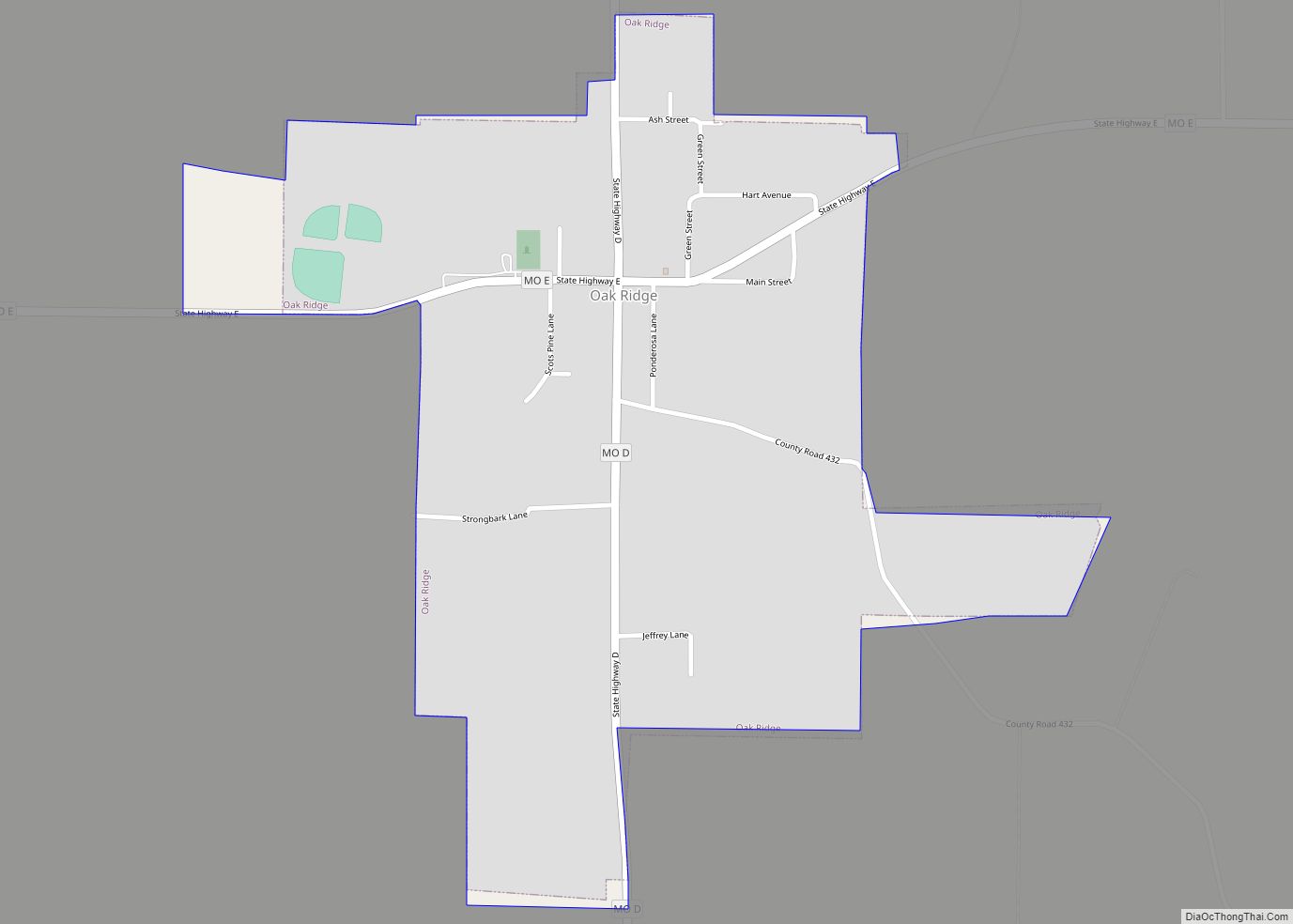
Oak Ridge is a village in the southern part of Apple Creek Township in Cape Girardeau County, Missouri, United States. The population was 237 at the 2020 census. It is part of the Cape Girardeau–Jackson, MO-IL Metropolitan Statistical Area. Oak Ridge town overview: Name: Oak Ridge town LSAD Code: 43 LSAD Description: town (suffix) State: ... Read more
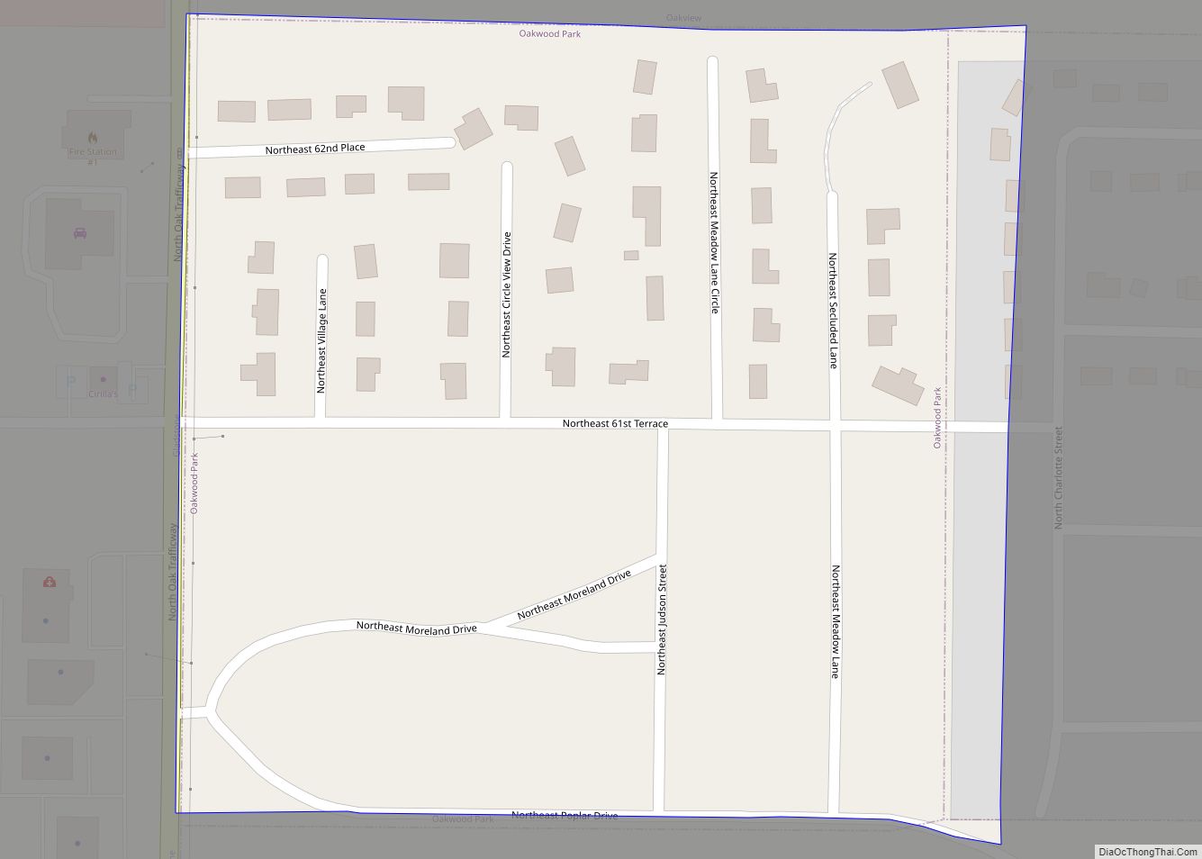
Oakwood Park is a village in Clay County, Missouri, United States. The population was 189 at the 2020 census. It is part of the Kansas City metropolitan area. Oakwood Park village overview: Name: Oakwood Park village LSAD Code: 47 LSAD Description: village (suffix) State: Missouri County: Clay County Elevation: 991 ft (302 m) Total Area: 0.07 sq mi (0.17 km²) ... Read more
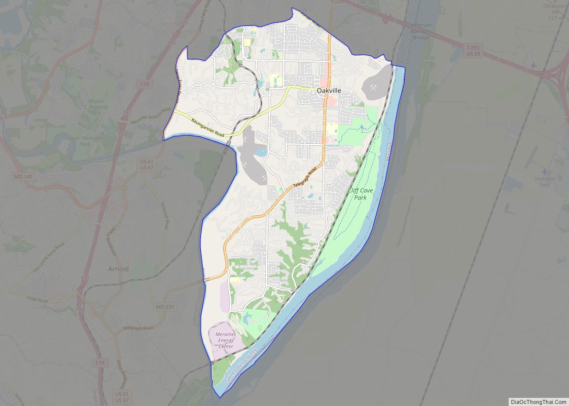
Oakville is a census-designated place (CDP) in south St. Louis County, Missouri, United States. The population was 36,301 at the 2020 census. Oakville is 18 miles south of the city of St. Louis and borders the Mississippi and Meramec rivers; the area is part of “South County” (south St. Louis County). Oakville CDP overview: Name: ... Read more
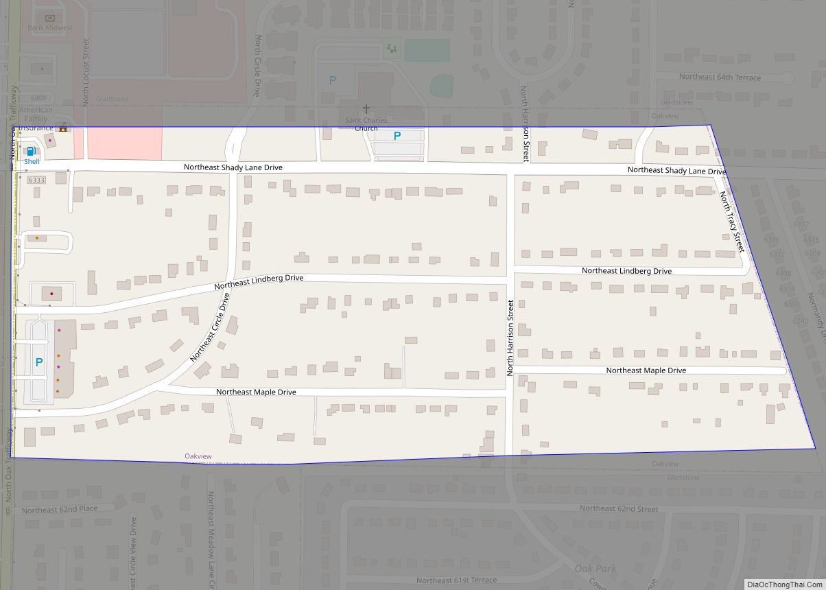
Oakview is a village in Clay County, Missouri, United States. The population was 366 at the 2020 census. It is part of the Kansas City metropolitan area. Oakview village overview: Name: Oakview village LSAD Code: 47 LSAD Description: village (suffix) State: Missouri County: Clay County Elevation: 994 ft (303 m) Total Area: 0.17 sq mi (0.45 km²) Land Area: 0.17 sq mi ... Read more
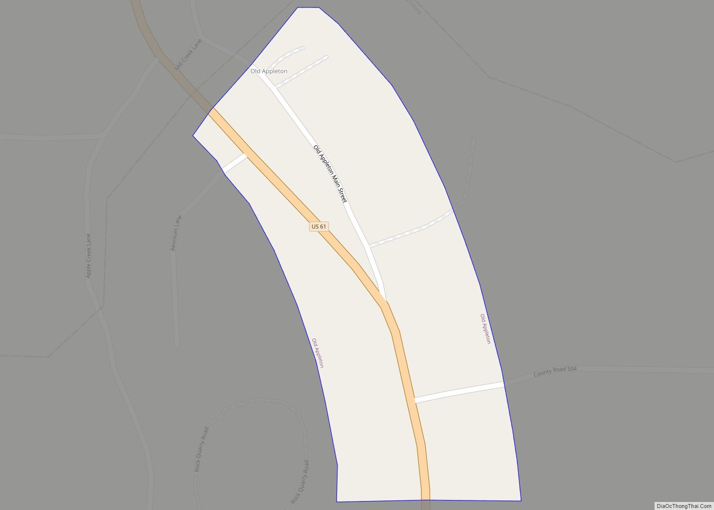
Old Appleton is a village in Cape Girardeau County, Missouri, United States. The population was 73 at the 2020 census. It is part of the Cape Girardeau–Jackson, MO-IL Metropolitan Statistical Area. Old Appleton town overview: Name: Old Appleton town LSAD Code: 43 LSAD Description: town (suffix) State: Missouri County: Cape Girardeau County Elevation: 410 ft (120 m) ... Read more
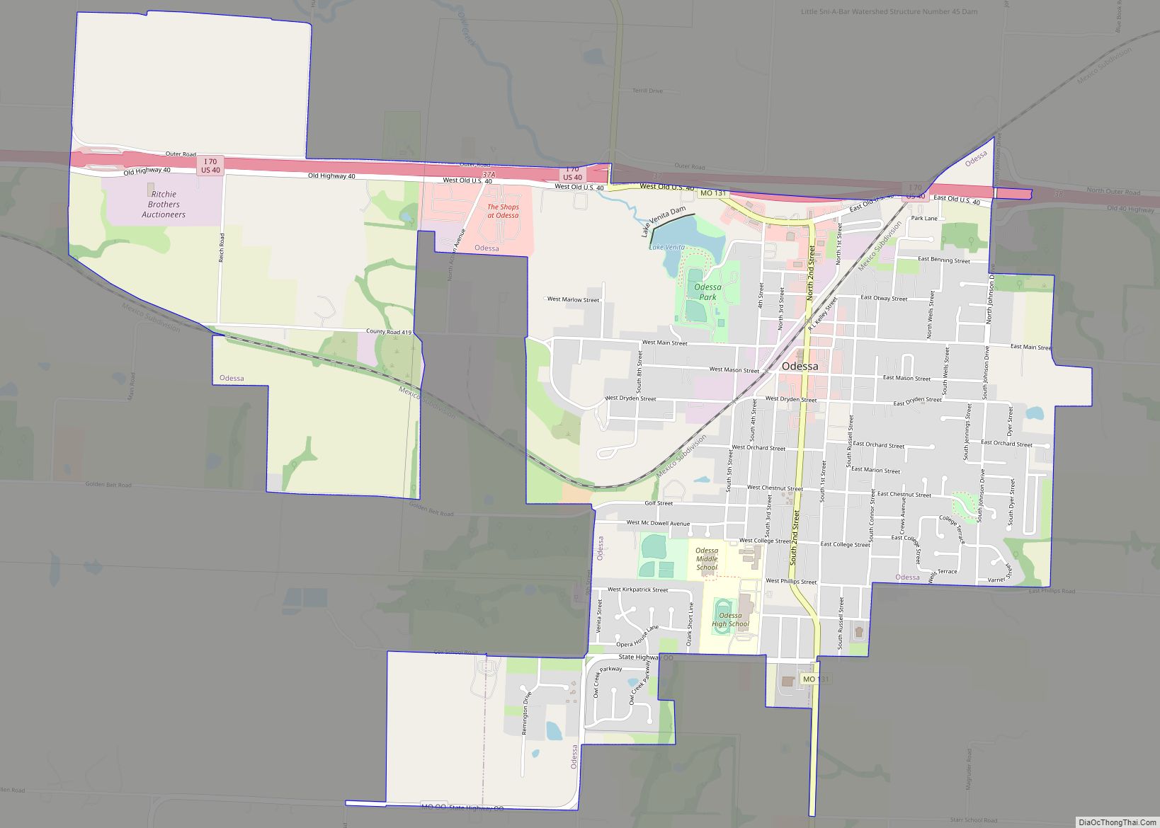
Odessa is the largest city in Lafayette County, Missouri, and part of the Kansas City metropolitan area within the Midwestern United States. The population was 5,593 at the 2020 census. Located along Interstate 70 Odessa’s historic downtown is home to a range of boutique shops and restaurants. The city is host to the annual Puddle ... Read more
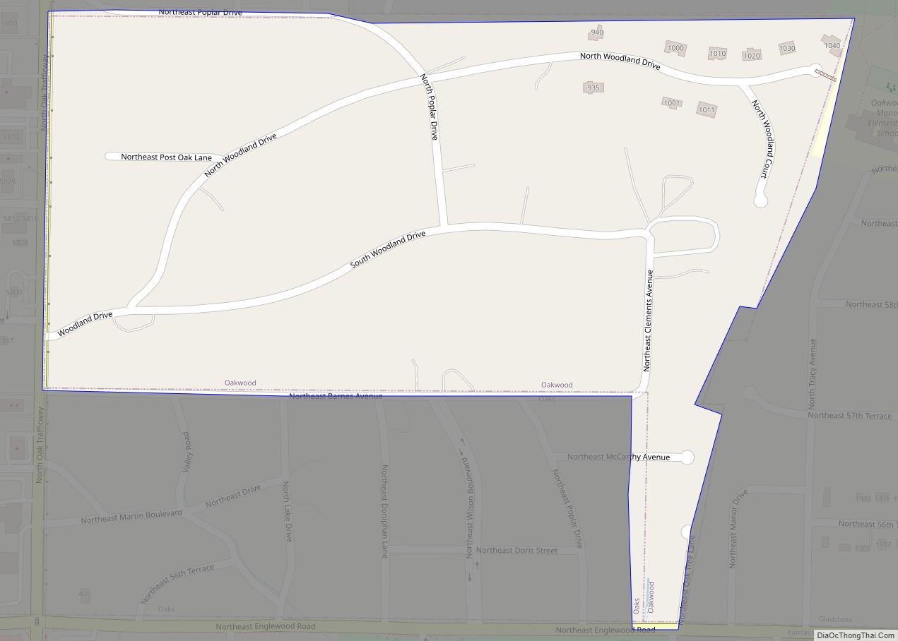
Oakwood is a village in Clay County, Missouri, United States. The population was 198 at the 2020 census. It is part of the Kansas City metropolitan area. Oakwood was laid out in the early 1920s, and named for a grove of oak trees near the original town site. Oakwood village overview: Name: Oakwood village LSAD ... Read more
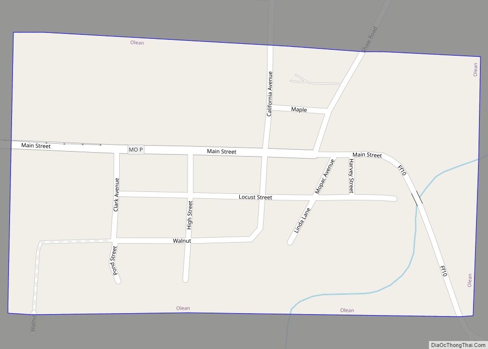
Olean is a town in northern Miller County, Missouri, United States. The population was 128 at the 2010 census. Olean town overview: Name: Olean town LSAD Code: 43 LSAD Description: town (suffix) State: Missouri County: Miller County Elevation: 781 ft (238 m) Total Area: 0.17 sq mi (0.45 km²) Land Area: 0.17 sq mi (0.45 km²) Water Area: 0.00 sq mi (0.00 km²) Total Population: 114 ... Read more
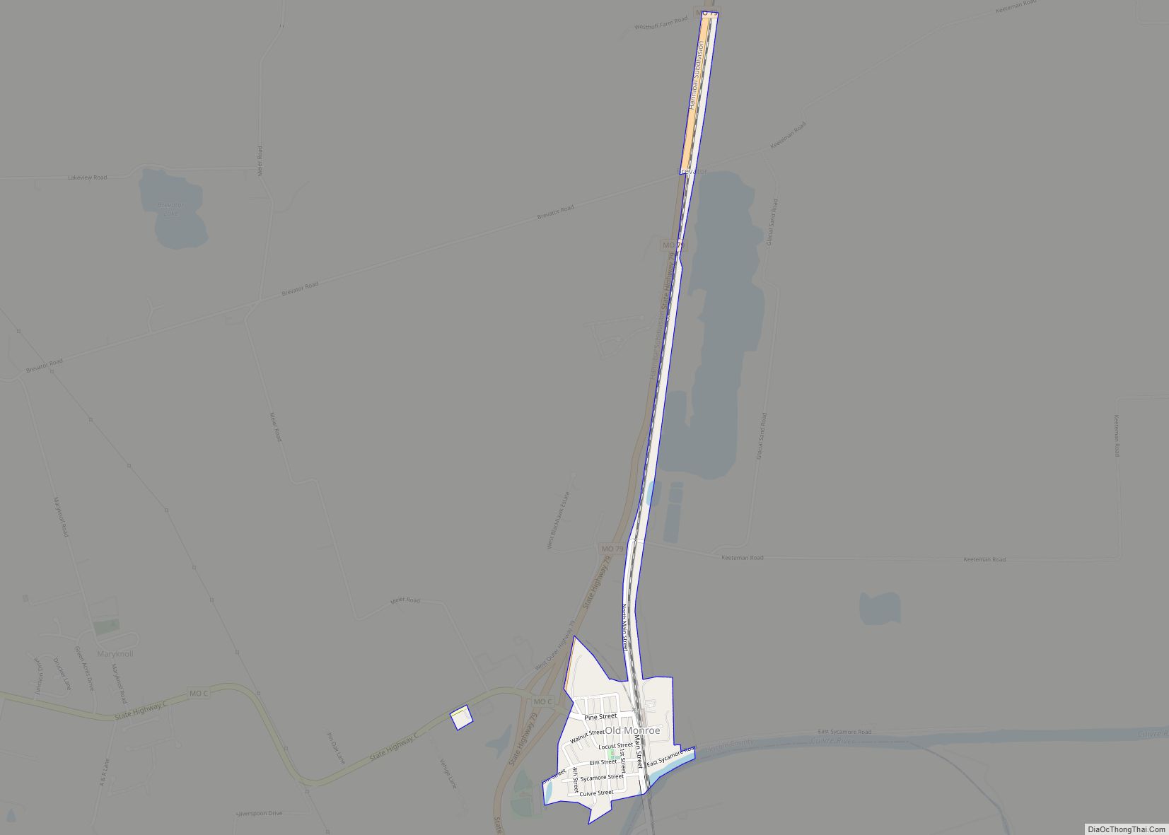
Old Monroe is a city in Lincoln County, Missouri, United States. The population was 265 at the 2010 census. Old Monroe city overview: Name: Old Monroe city LSAD Code: 25 LSAD Description: city (suffix) State: Missouri County: Lincoln County Elevation: 443 ft (135 m) Total Area: 0.37 sq mi (0.95 km²) Land Area: 0.36 sq mi (0.94 km²) Water Area: 0.01 sq mi (0.02 km²) Total ... Read more
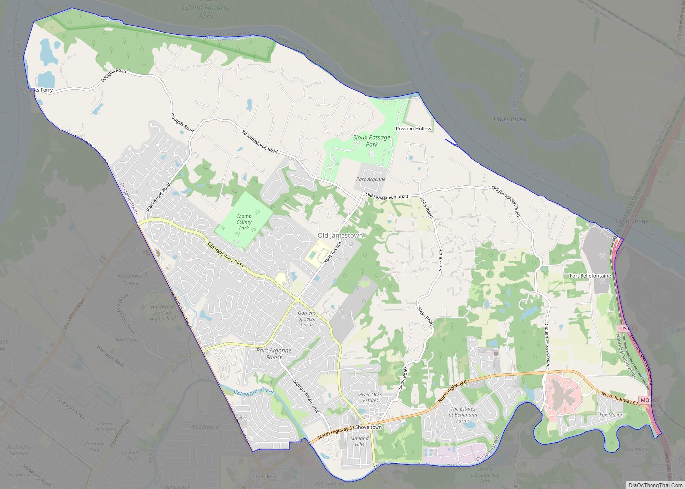
Old Jamestown is a census-designated place (CDP) in St. Louis County, Missouri, United States. The population was 19,184 at the 2010 census. Old Jamestown is northwest of the city of St. Louis and borders the Missouri River. Old Jamestown CDP overview: Name: Old Jamestown CDP LSAD Code: 57 LSAD Description: CDP (suffix) State: Missouri County: ... Read more
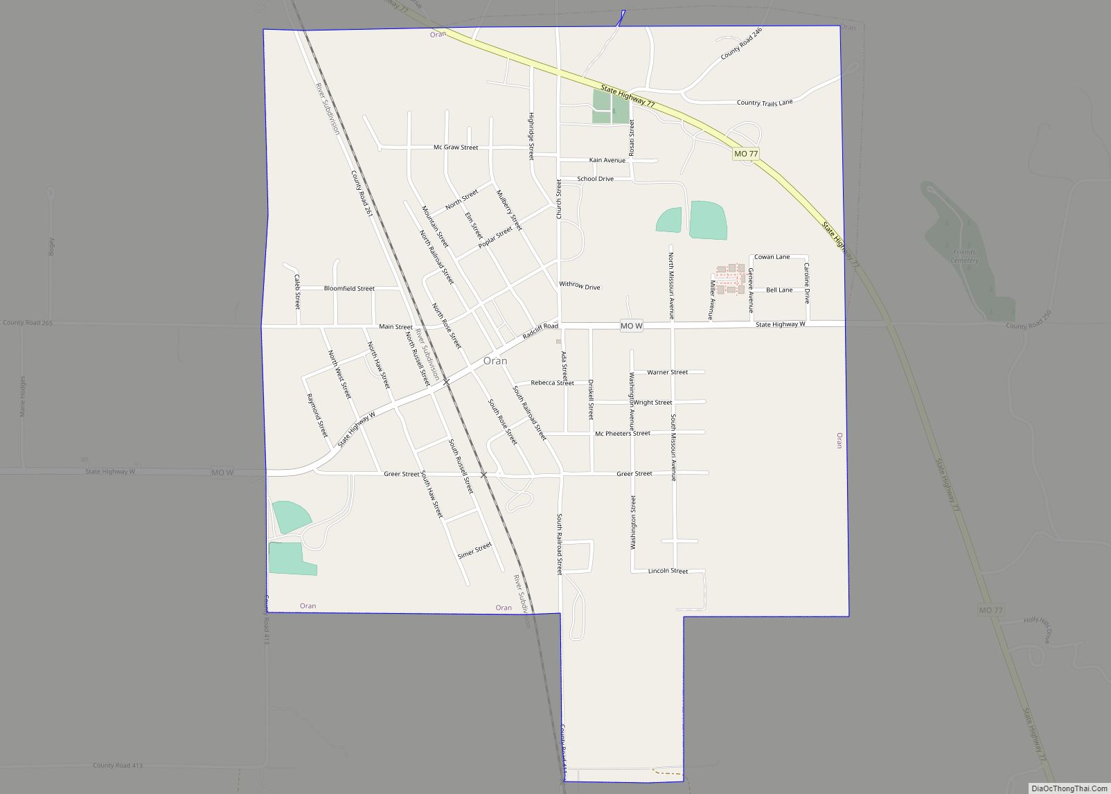
Oran is a city in Scott County, Missouri, United States. The population was 1,294 at the 2010 census. Oran city overview: Name: Oran city LSAD Code: 25 LSAD Description: city (suffix) State: Missouri County: Scott County Elevation: 341 ft (104 m) Total Area: 1.05 sq mi (2.73 km²) Land Area: 1.05 sq mi (2.73 km²) Water Area: 0.00 sq mi (0.00 km²) Total Population: 1,195 Population ... Read more

