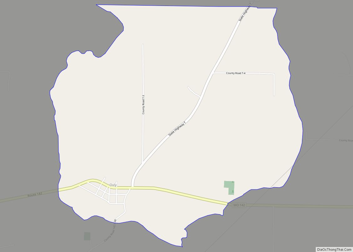
Oxly is a census-designated place in southeastern Ripley County, Missouri, United States. It is located on Logan Creek along Missouri Route 142, approximately seven miles east of Doniphan. A post office called Oxly has been in operation since 1900. The community has the name of F. G. Oxley, a businessperson in the local lumber industry. ... Read more
Missouri Cities and Places
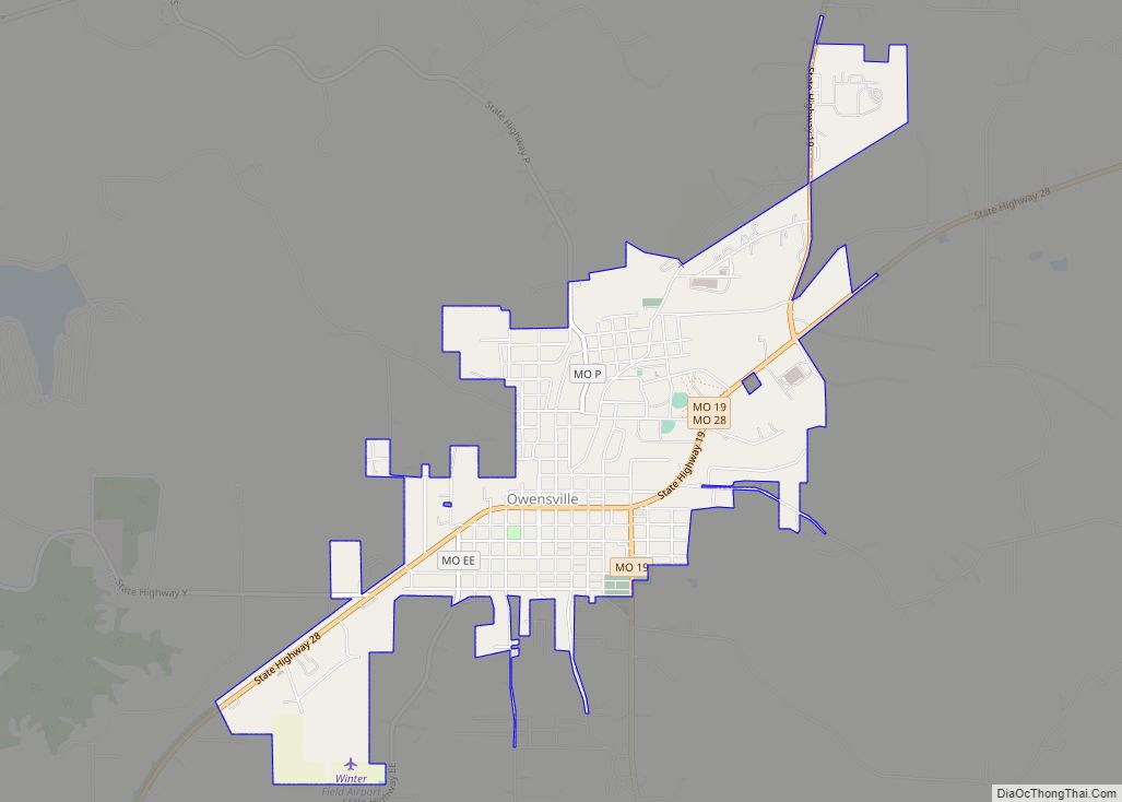
Owensville is a city in Gasconade County, Missouri, United States. The population was 2,757 at the 2020 census. Owensville city overview: Name: Owensville city LSAD Code: 25 LSAD Description: city (suffix) State: Missouri County: Gasconade County Elevation: 925 ft (282 m) Total Area: 2.60 sq mi (6.73 km²) Land Area: 2.60 sq mi (6.73 km²) Water Area: 0.00 sq mi (0.01 km²) Total Population: 2,757 Population ... Read more
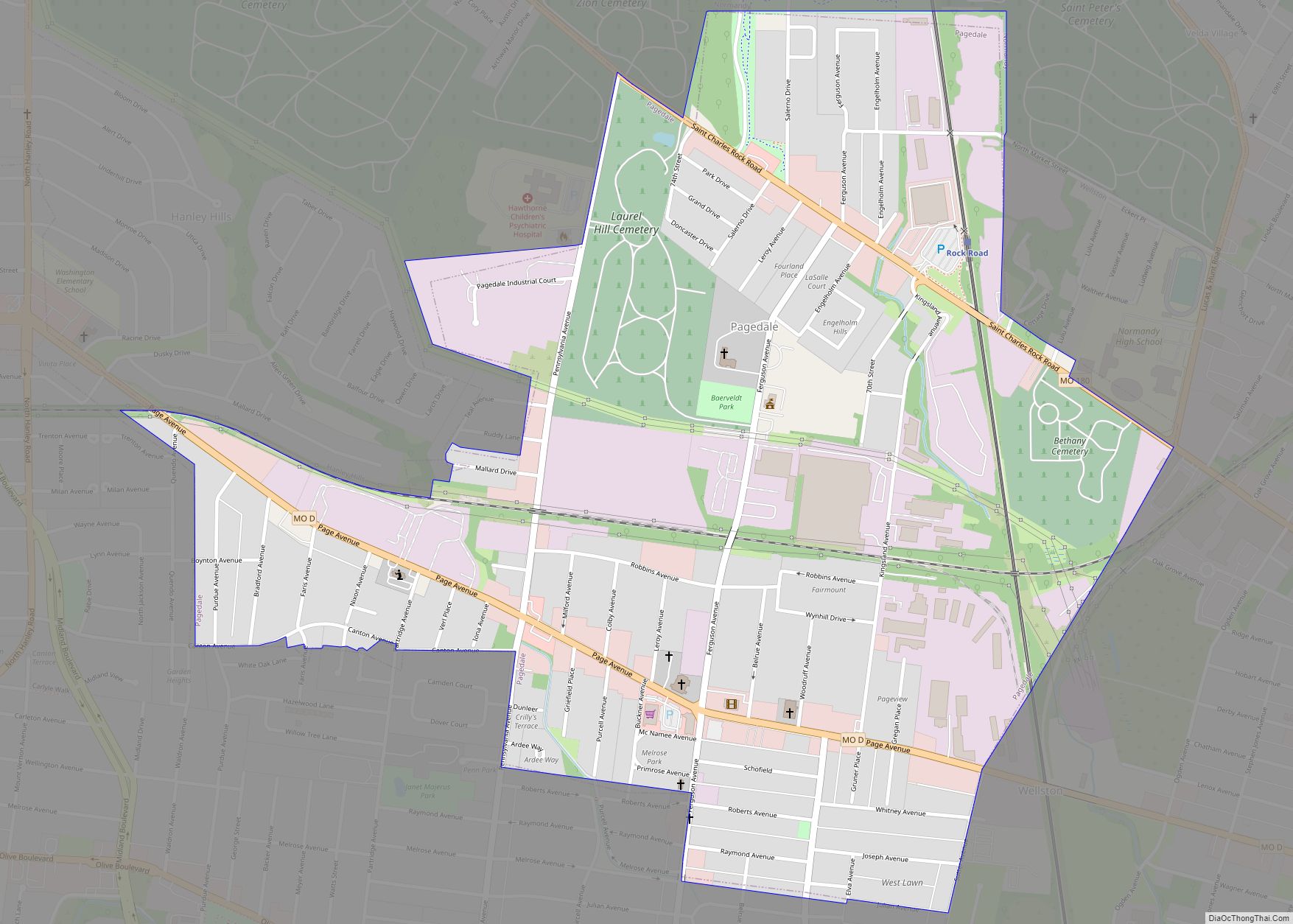
Pagedale is a city in St. Louis County, Missouri, United States. The population was 3,310 at the 2010 census. Pagedale city overview: Name: Pagedale city LSAD Code: 25 LSAD Description: city (suffix) State: Missouri County: St. Louis County Elevation: 581 ft (177 m) Total Area: 1.20 sq mi (3.12 km²) Land Area: 1.20 sq mi (3.12 km²) Water Area: 0.00 sq mi (0.00 km²) Total Population: ... Read more
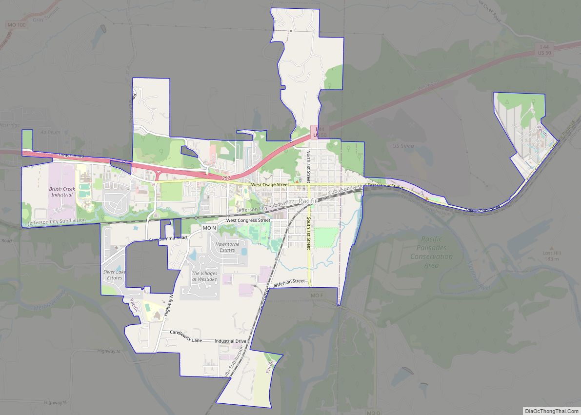
Pacific (formerly Franklin) is a city in the U.S. state of Missouri in eastern Franklin County and extending to the east into southwest St. Louis County. The population was 7,414 at the 2020 census. Pacific city overview: Name: Pacific city LSAD Code: 25 LSAD Description: city (suffix) State: Missouri County: Franklin County, St. Louis County ... Read more
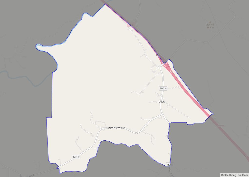
Ozora is an unincorporated community and census-designated place located in Beauvais Township in Sainte Genevieve County, Missouri, United States. Ozora is located approximately eight miles south of Sainte Genevieve. Ozora CDP overview: Name: Ozora CDP LSAD Code: 57 LSAD Description: CDP (suffix) State: Missouri County: Ste. Genevieve County Elevation: 577 ft (176 m) Total Area: 6.16 sq mi (15.95 km²) ... Read more
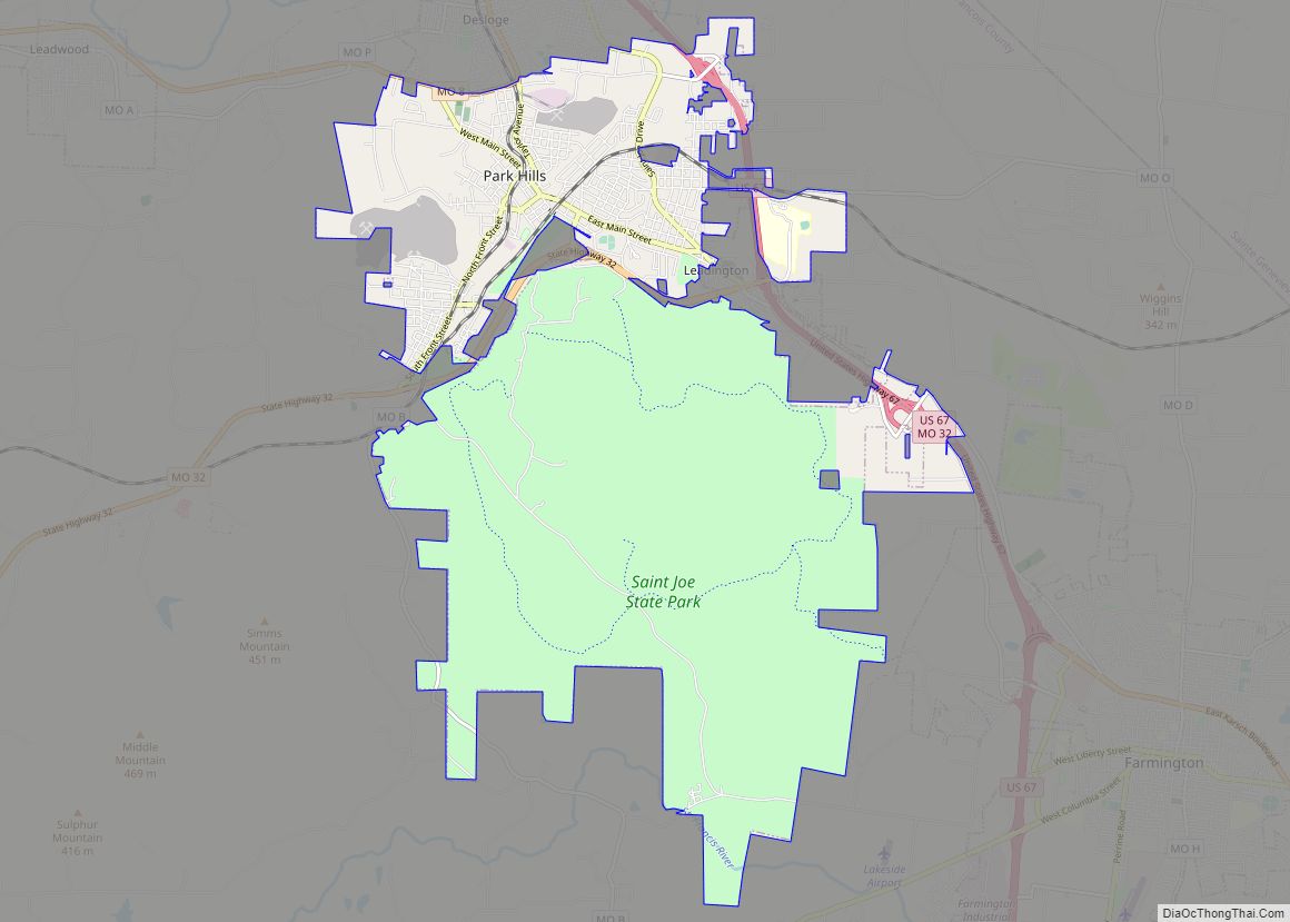
Park Hills is a city in St. Francois County, Missouri, United States. The population was 8,587 at the 2020 census. Park Hills city overview: Name: Park Hills city LSAD Code: 25 LSAD Description: city (suffix) State: Missouri County: St. Francois County Elevation: 758 ft (231 m) Total Area: 20.43 sq mi (52.91 km²) Land Area: 20.34 sq mi (52.67 km²) Water Area: 0.09 sq mi ... Read more
Paris is a city and county seat of Monroe County, Missouri, United States. The population was 1,161 at the 2020 census. Paris city overview: Name: Paris city LSAD Code: 25 LSAD Description: city (suffix) State: Missouri County: Monroe County Elevation: 679 ft (207 m) Total Area: 1.27 sq mi (3.29 km²) Land Area: 1.26 sq mi (3.27 km²) Water Area: 0.01 sq mi (0.02 km²) Total ... Read more
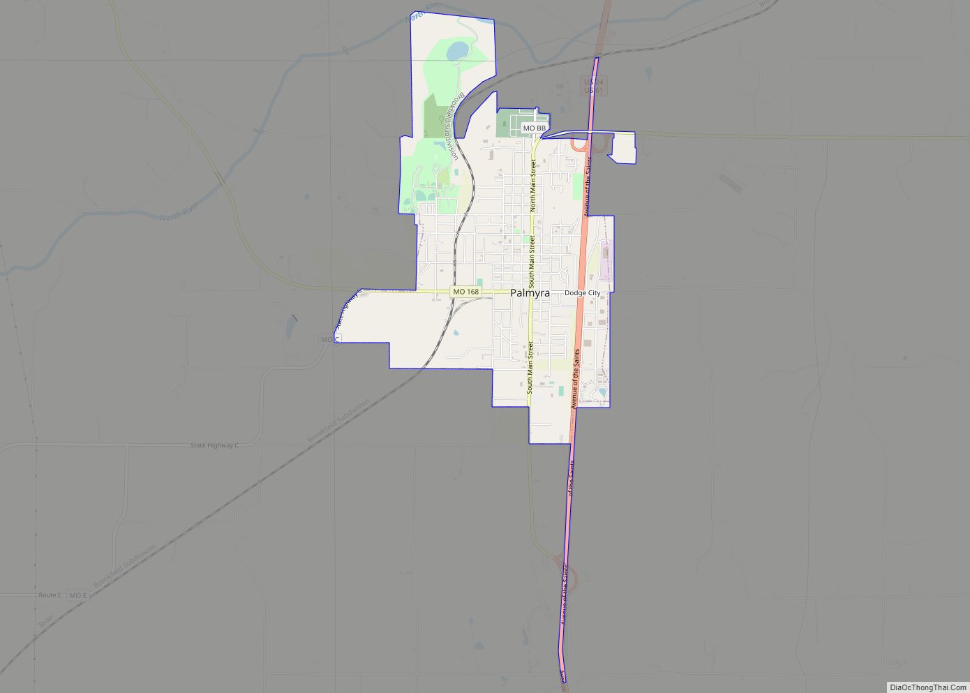
Palmyra is a city in and the county seat of Marion County, Missouri, United States. The population was 3,595 at the 2010 census. It is part of the Hannibal Micropolitan Statistical Area. Palmyra city overview: Name: Palmyra city LSAD Code: 25 LSAD Description: city (suffix) State: Missouri County: Marion County Elevation: 620 ft (190 m) Total Area: ... Read more
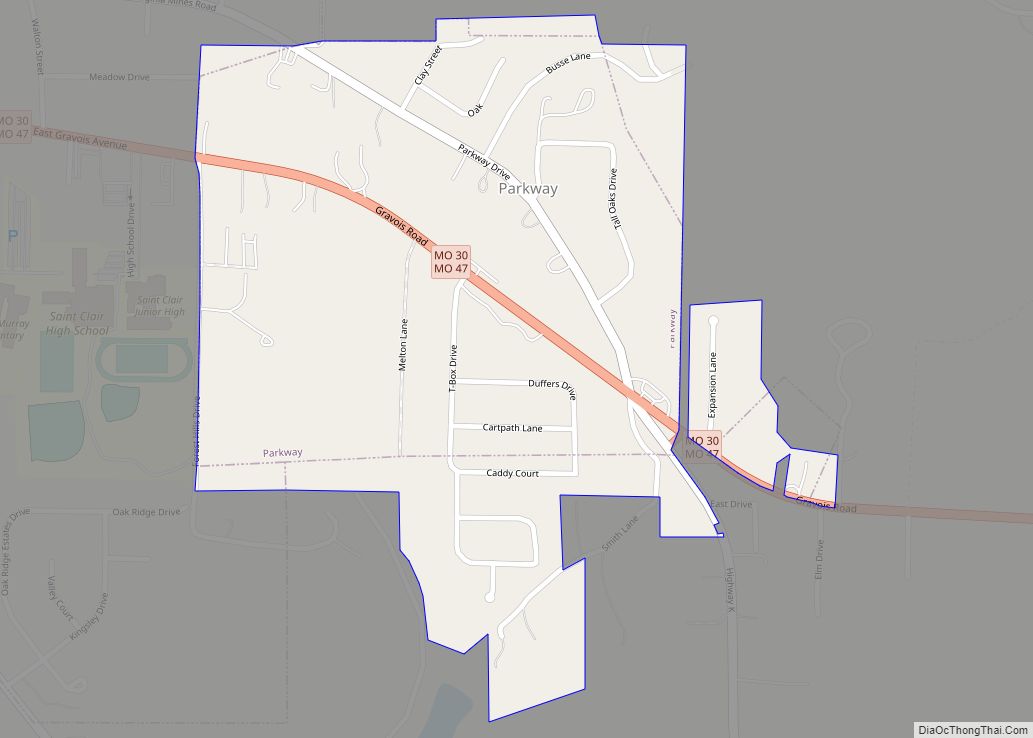
Parkway is a village in Franklin County, Missouri, United States. The population was 439 at the 2010 census. Parkway village overview: Name: Parkway village LSAD Code: 47 LSAD Description: village (suffix) State: Missouri County: Franklin County Elevation: 699 ft (213 m) Total Area: 0.37 sq mi (0.95 km²) Land Area: 0.37 sq mi (0.95 km²) Water Area: 0.00 sq mi (0.00 km²) Total Population: 663 Population ... Read more
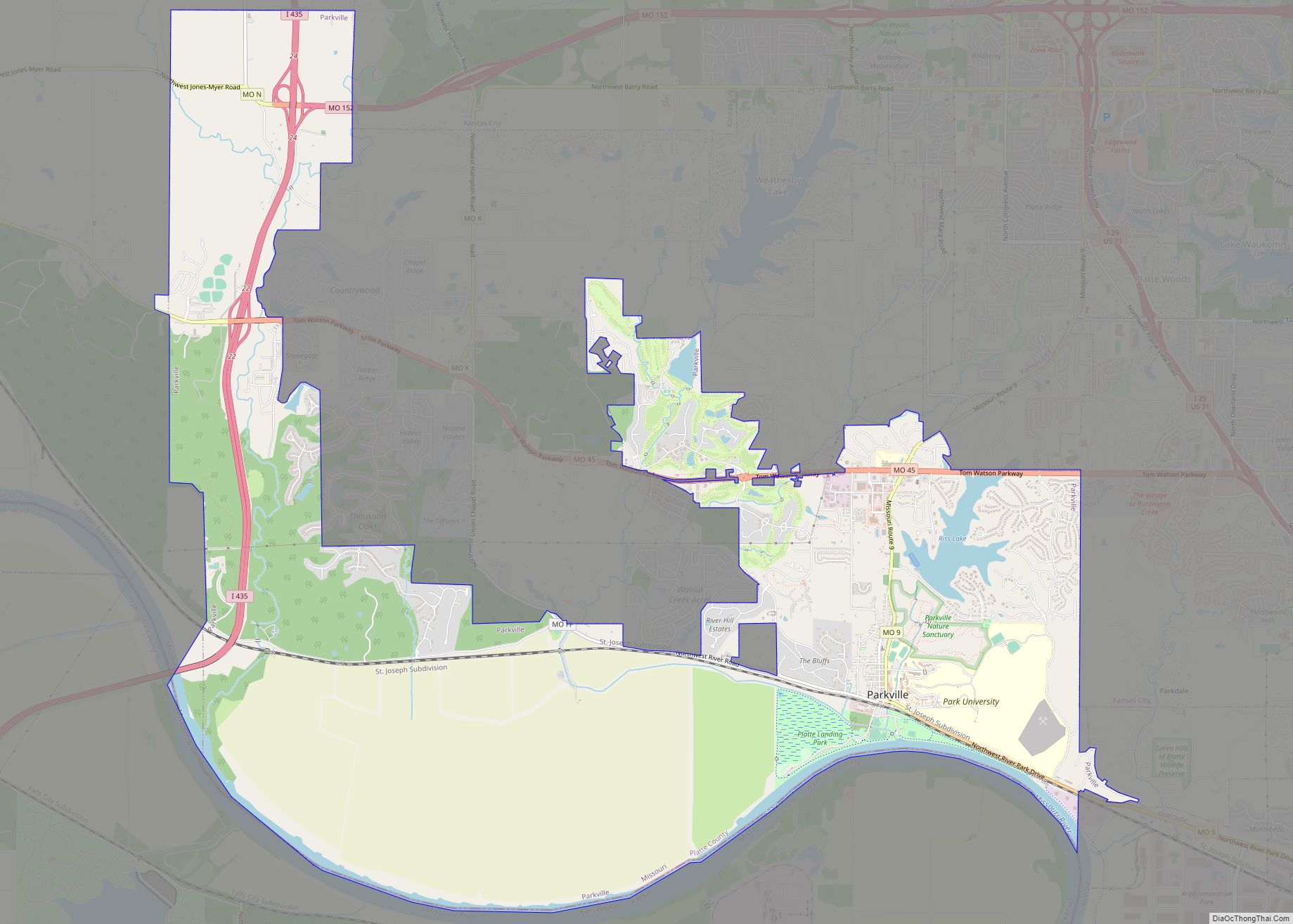
Parkville is a city in Platte County, Missouri, United States and is a part of the Kansas City Metropolitan Area. The population was 7,177 at the 2020 census (2021 est, 7,810). Parkville is known for its antique shops, art galleries, and historic downtown. The city is home to Park University, English Landing Park, Platte Landing ... Read more
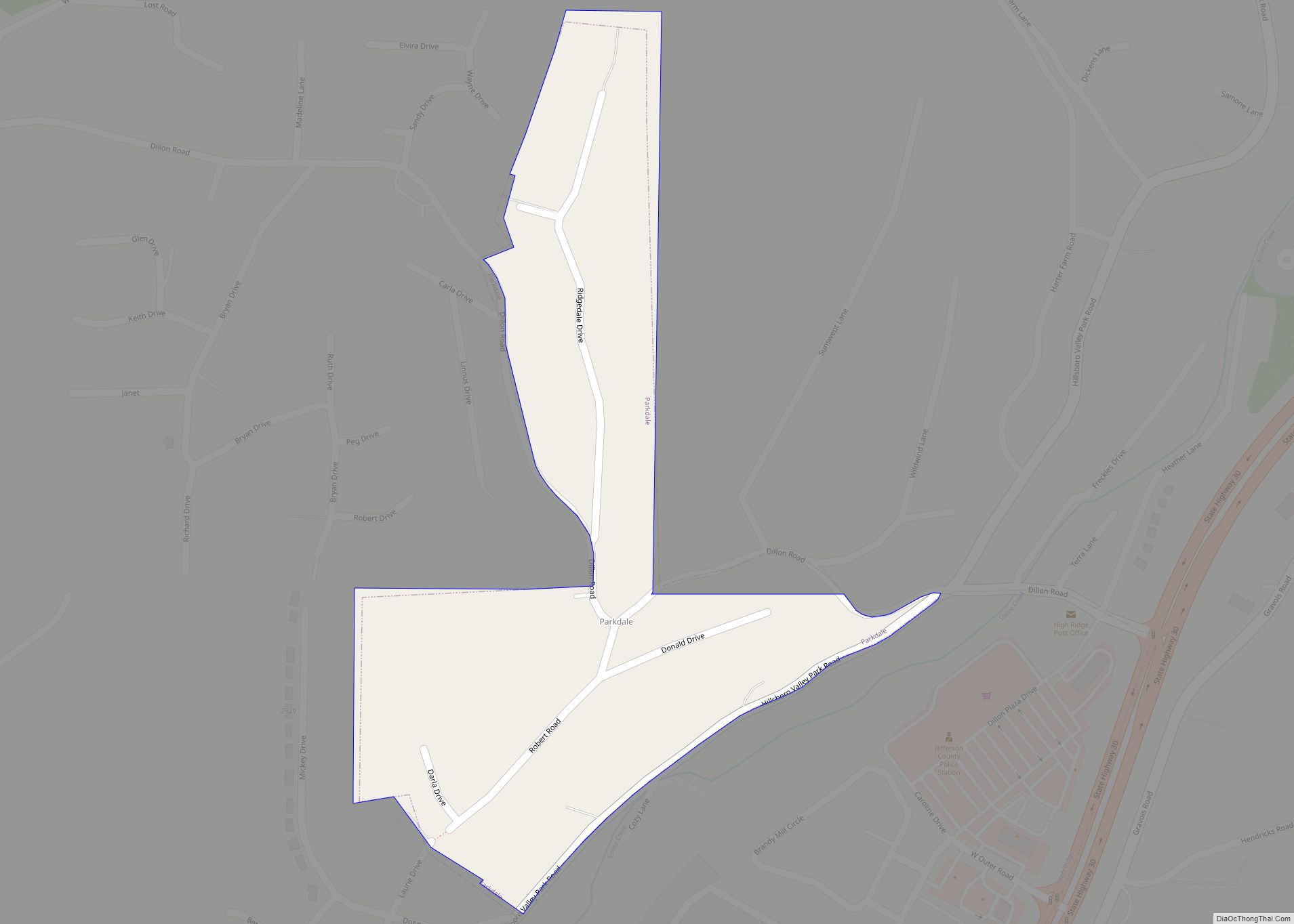
Parkdale is a village in northern Jefferson County, Missouri, United States. The population was 170 at the 2010 census. Parkdale village overview: Name: Parkdale village LSAD Code: 47 LSAD Description: village (suffix) State: Missouri County: Jefferson County Elevation: 827 ft (252 m) Total Area: 0.13 sq mi (0.33 km²) Land Area: 0.13 sq mi (0.33 km²) Water Area: 0.00 sq mi (0.00 km²) Total Population: 159 ... Read more
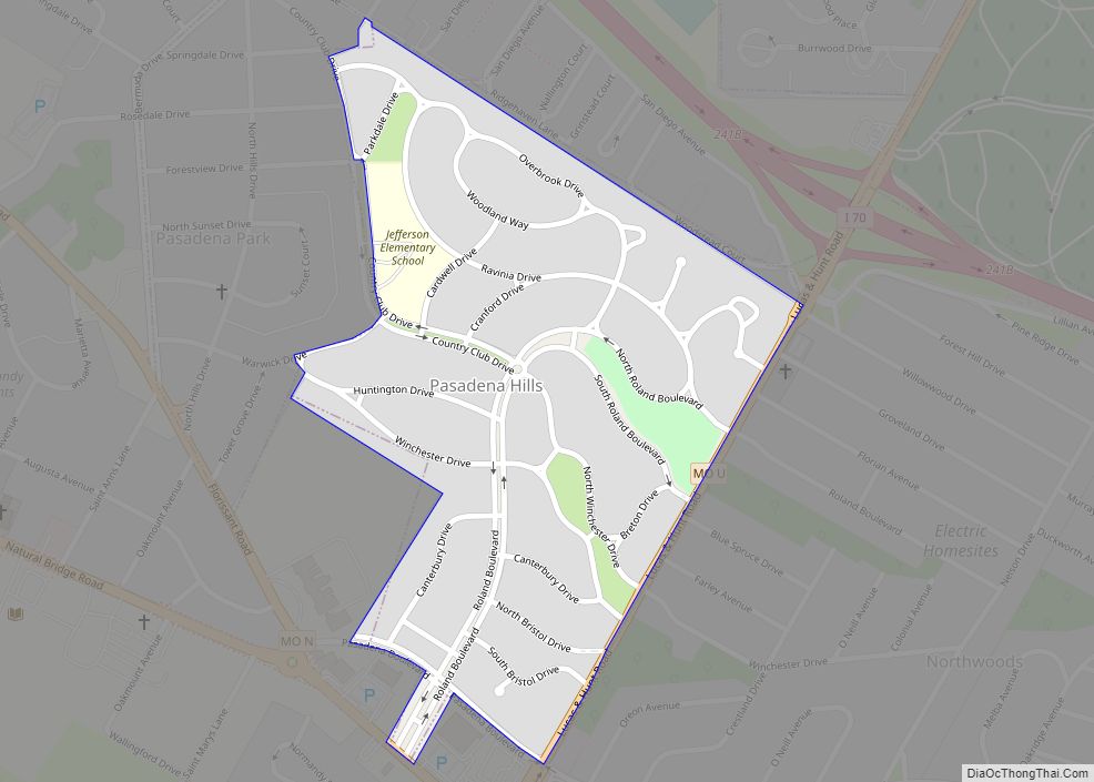
Pasadena Hills is a city in St. Louis County, Missouri, United States. The population was 930 at the 2010 census. The entire city is listed on the National Register of Historic Places. Pasadena Hills city overview: Name: Pasadena Hills city LSAD Code: 25 LSAD Description: city (suffix) State: Missouri County: St. Louis County Elevation: 653 ft ... Read more
