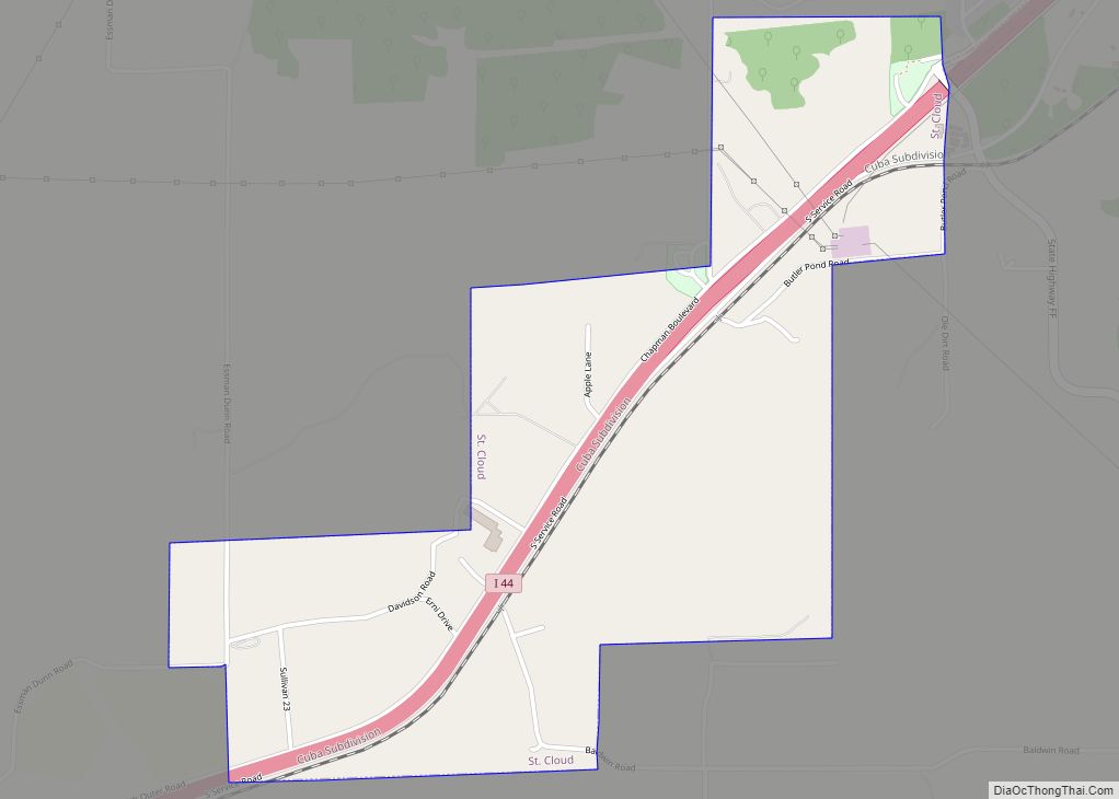
St. Cloud village overview: Name: St. Cloud village LSAD Code: 47 LSAD Description: village (suffix) State: Missouri County: Crawford County FIPS code: 2964172 Online Interactive Map St. Cloud online map. Source: Basemap layers from Google Map, Open Street Map (OSM), Arcgisonline, Wmflabs. Boundary Data from Database of Global Administrative Areas. St. Cloud location map. Where ... Read more
Missouri Cities and Places
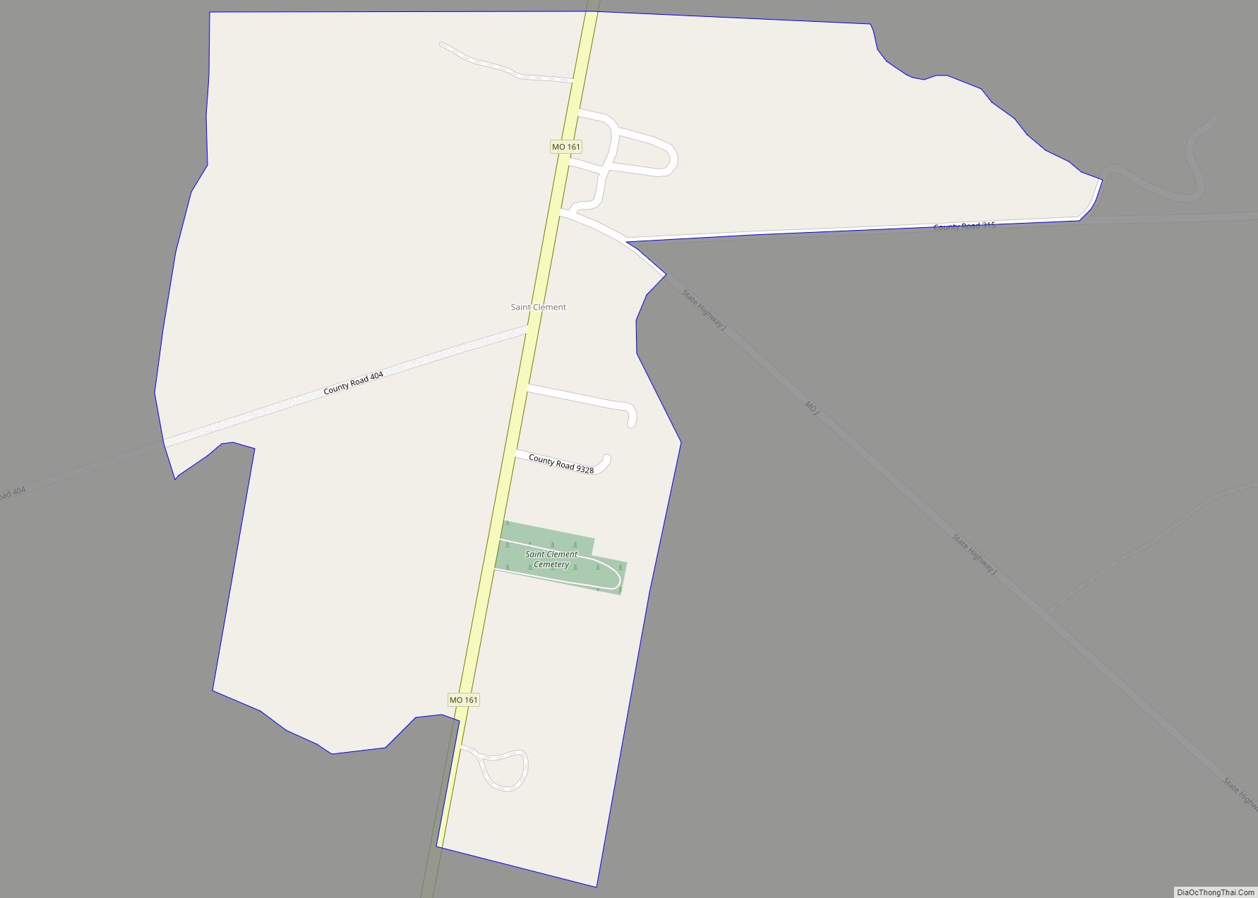
Saint Clement is a census-designated place in Pike County, Missouri, United States, located on Route 161 approximately four miles south of Bowling Green. The first settlement at St. Clement was made in 1870 by a colony of German Catholics. A post office called Saint Clement was established in 1870, and remained in operation until 1882. ... Read more
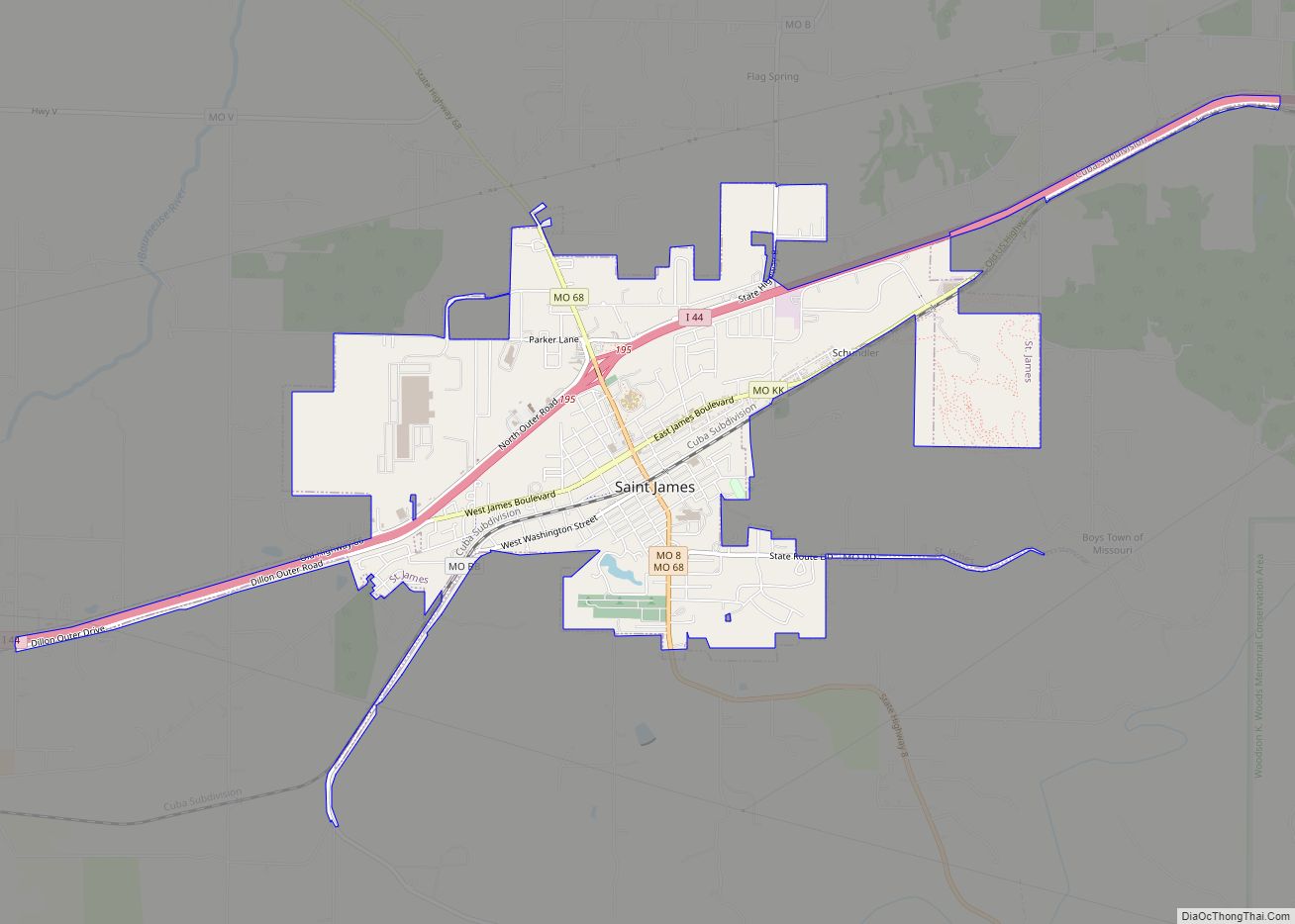
St. James is a city in Phelps County, Missouri, United States. The population was 4,216 at the 2010 census. St. James city overview: Name: St. James city LSAD Code: 25 LSAD Description: city (suffix) State: Missouri County: Phelps County Elevation: 1,066 ft (325 m) Total Area: 4.28 sq mi (11.09 km²) Land Area: 4.27 sq mi (11.07 km²) Water Area: 0.01 sq mi (0.02 km²) Total ... Read more
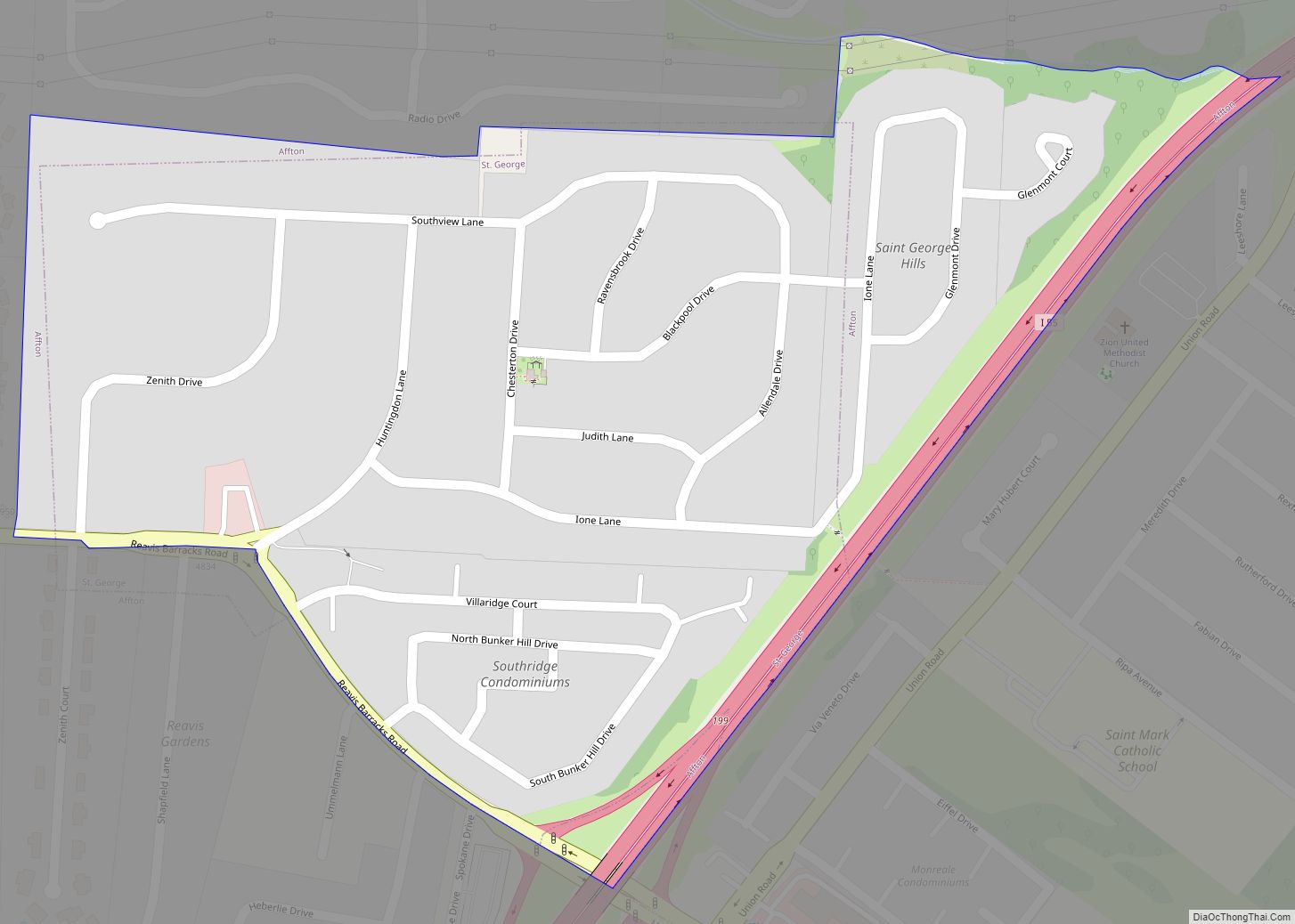
St. George or Saint George is an unincorporated community and former incorporated city in St. Louis County, Missouri, United States. The population was 1,337 at the 2010 census. On November 8, 2011, St. George residents voted 345–128 to disincorporate. The city became part of unincorporated St. Louis County. St. George CDP overview: Name: St. George ... Read more
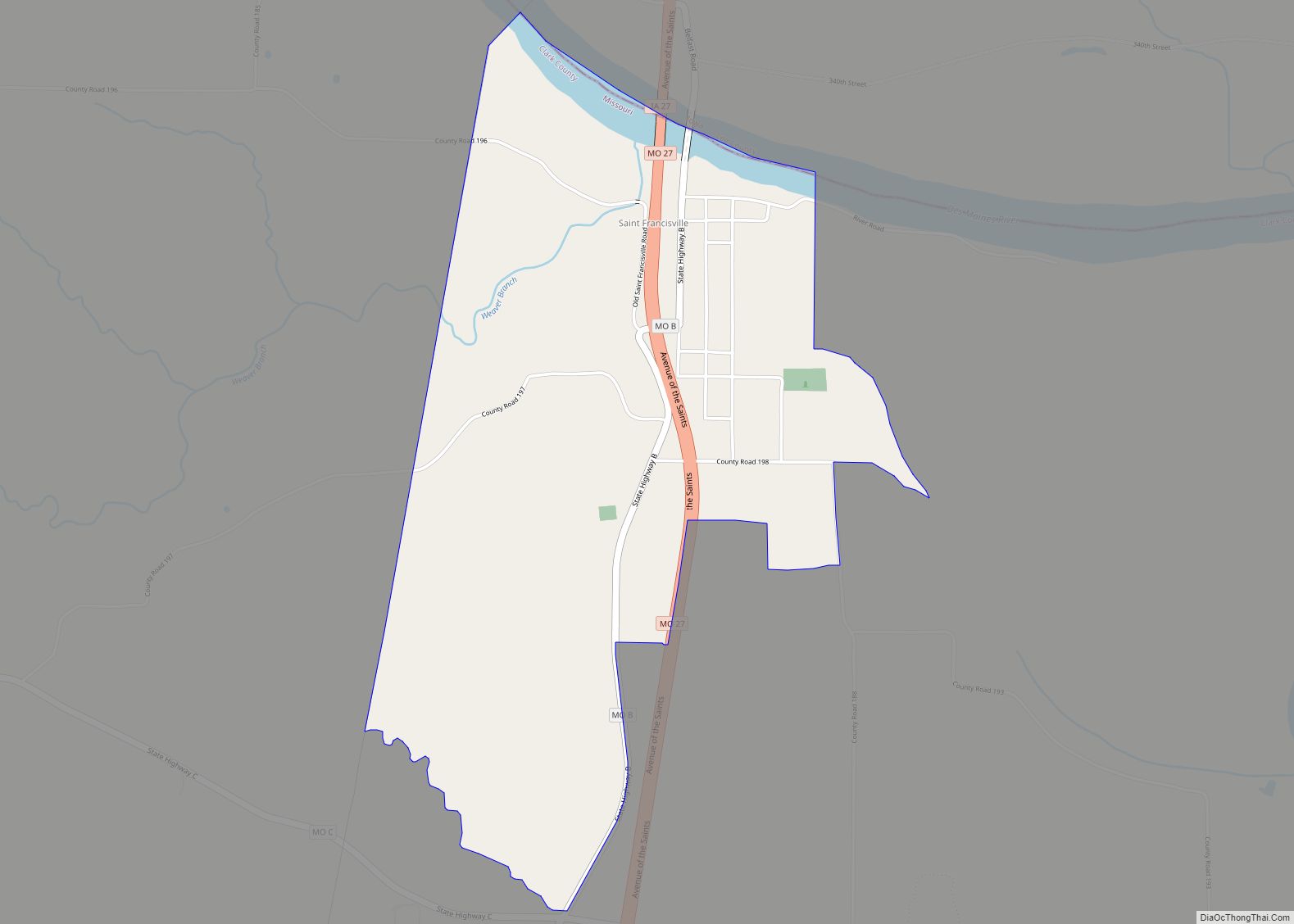
St. Francisville or Saint Francisville is an unincorporated community and census-designated place in northeast Clark County, Missouri, United States. As of the 2020 census, its population was 137. The community is on Missouri Route B four miles north of Wayland. The Des Moines River and the Missouri-Iowa border are one-half mile north of the community. ... Read more
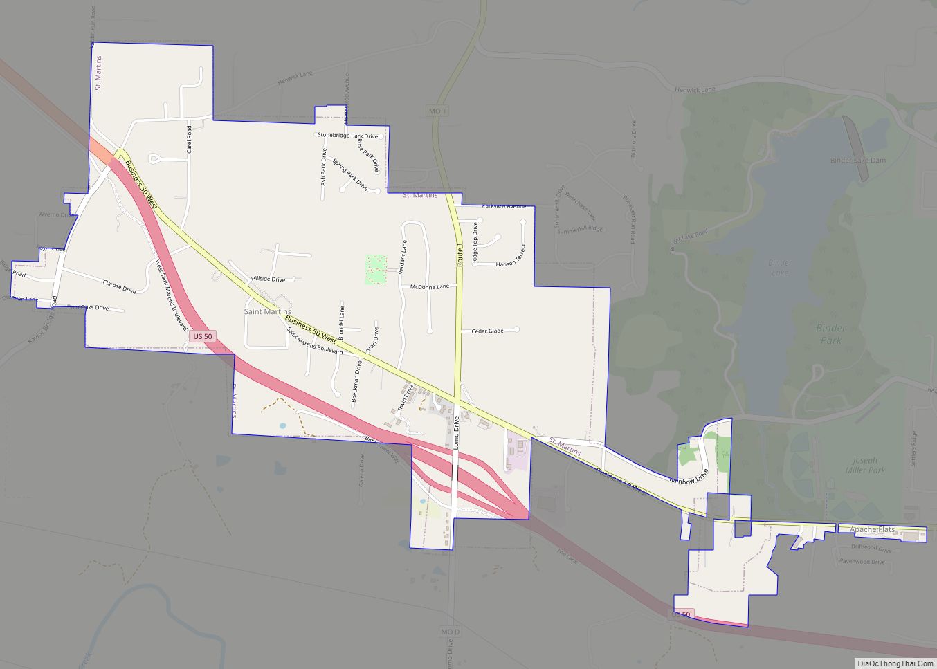
St. Martins or Saint Martins is a city in Cole County, Missouri, United States. The population was 1,191 at the 2020 census. It is part of the Jefferson City, Missouri Metropolitan Statistical Area. St. Martins city overview: Name: St. Martins city LSAD Code: 25 LSAD Description: city (suffix) State: Missouri County: Cole County Elevation: 745 ft ... Read more
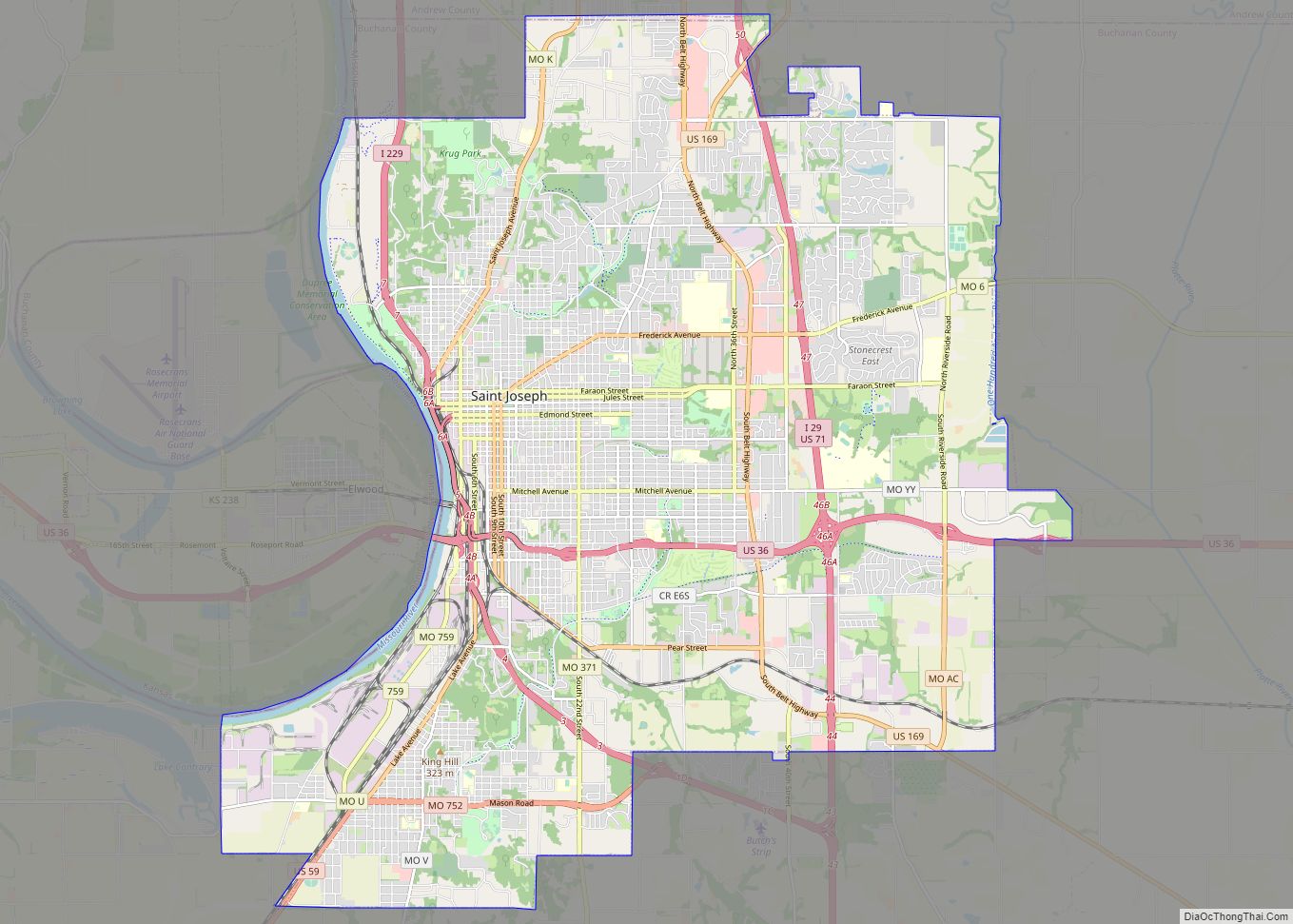
St. Joseph is a city in and the county seat of Buchanan County, Missouri, United States. Small parts of St. Joseph extend into Andrew County. Located on the Missouri River, it is the principal city of the St. Joseph Metropolitan Statistical Area, which includes Buchanan, Andrew, and DeKalb counties in Missouri and Doniphan County, Kansas. ... Read more
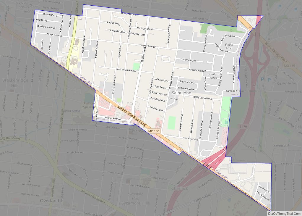
St. John or Saint John is a city in St. Louis County, Missouri, United States, with its commercial district centered along St. Charles Rock Road. It is a few miles southeast of Lambert-St. Louis International Airport. As of the 2020 census, the city population was 6,643. St. John city overview: Name: St. John city LSAD ... Read more
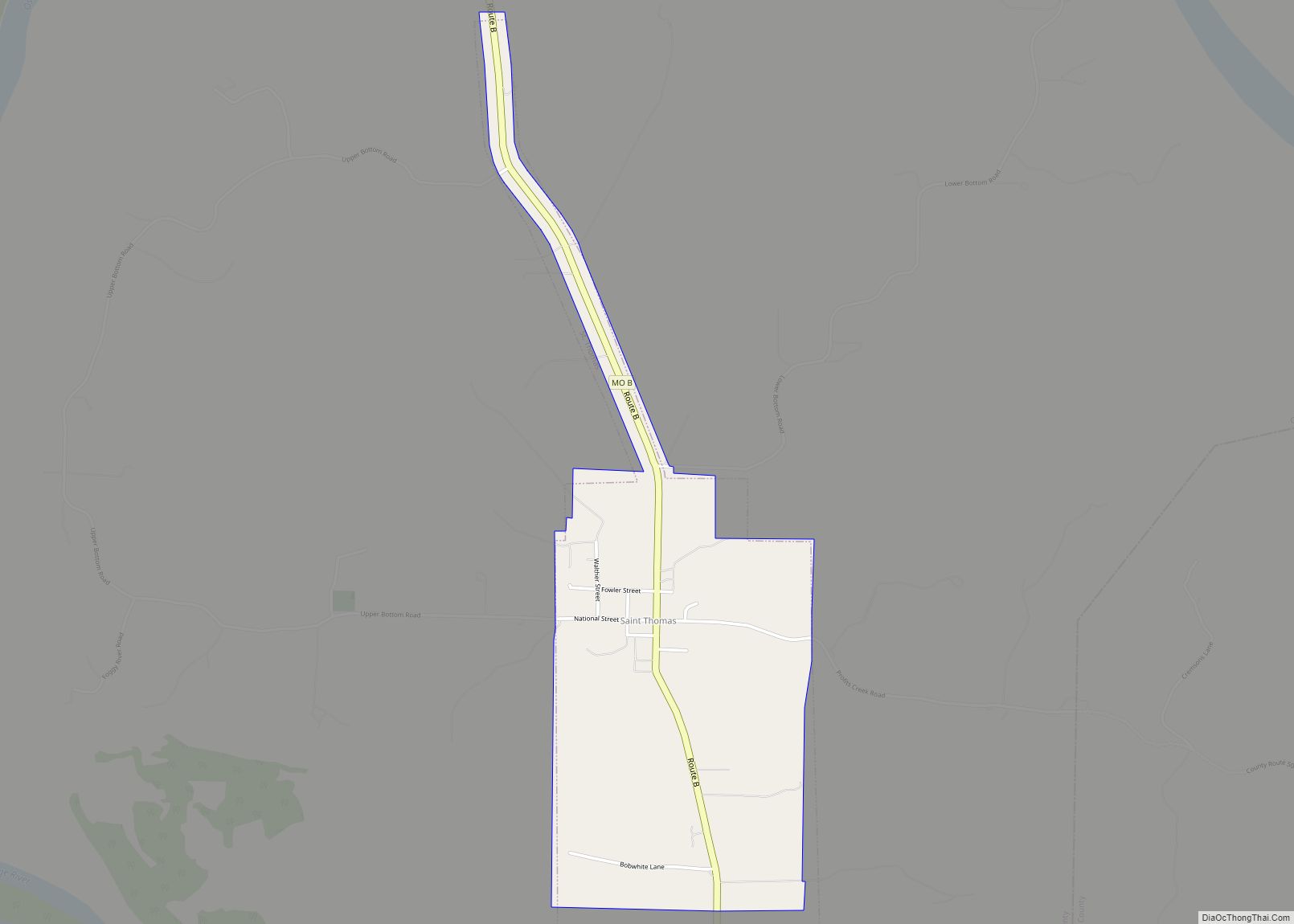
St. Thomas or Saint Thomas is a city in Cole County, Missouri, United States. The population was 222 at the 2020 census. It is part of the Jefferson City, Missouri Metropolitan Statistical Area. St. Thomas town overview: Name: St. Thomas town LSAD Code: 43 LSAD Description: town (suffix) State: Missouri County: Cole County Incorporated: 1855 ... Read more
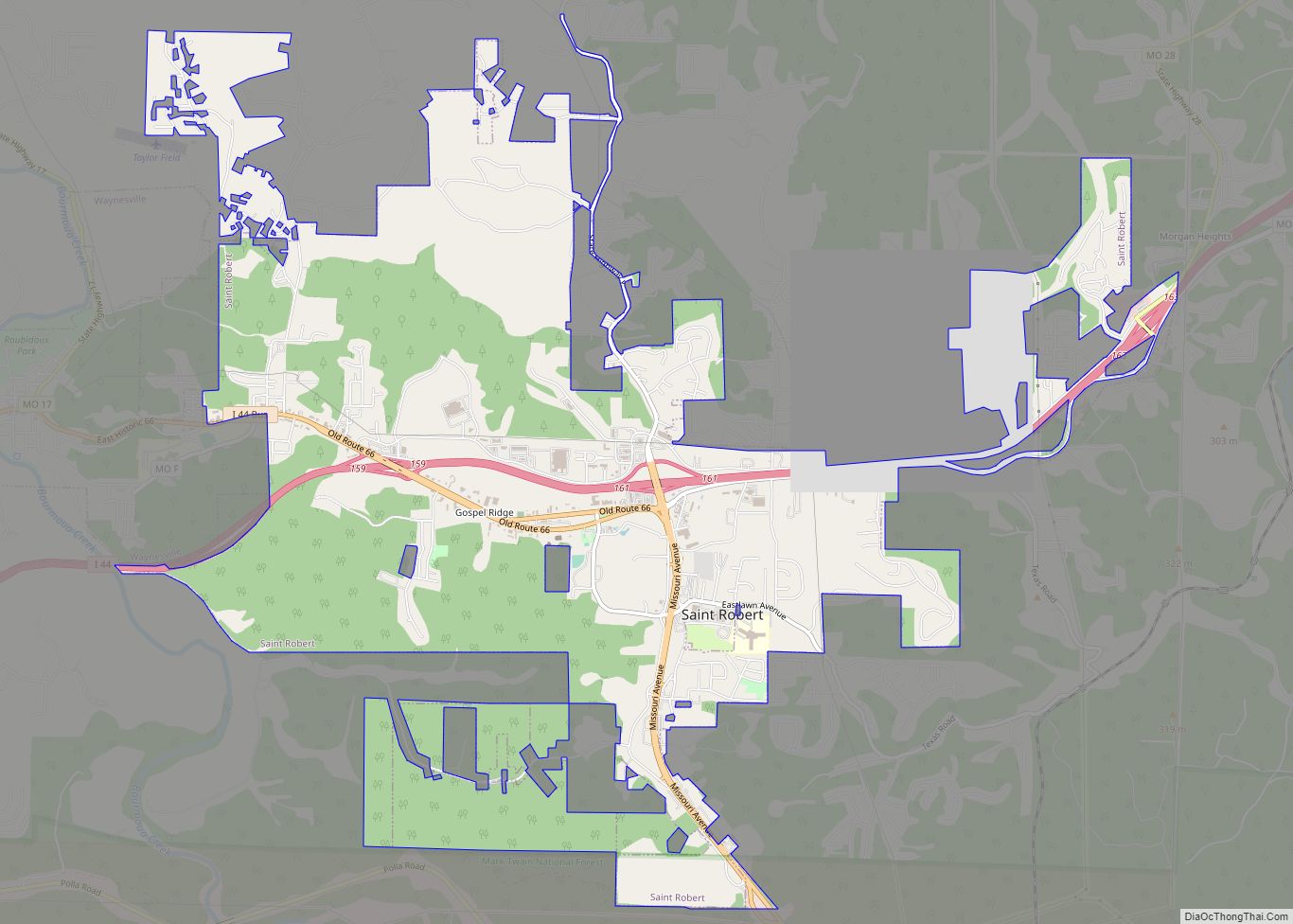
St. Robert or Saint Robert is a city in Pulaski County, Missouri, United States. The population was 5,192 at the 2020 census. It is a gateway community to the United States Army installation at Fort Leonard Wood. St. Robert city overview: Name: St. Robert city LSAD Code: 25 LSAD Description: city (suffix) State: Missouri County: ... Read more
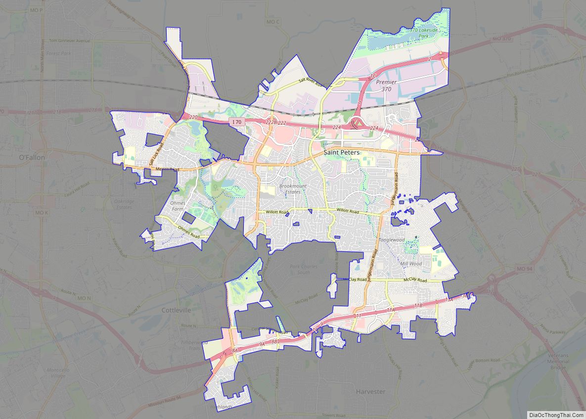
St. Peters is a city in St. Charles County, Missouri, United States. The population was 57,732 at the 2020 census, making it the eleventh-largest city in Missouri. It is a northwestern suburb of St. Louis. Interstate 70 passes through the city, providing a major transportation link. In 2008, St. Peters was named the 60th best ... Read more
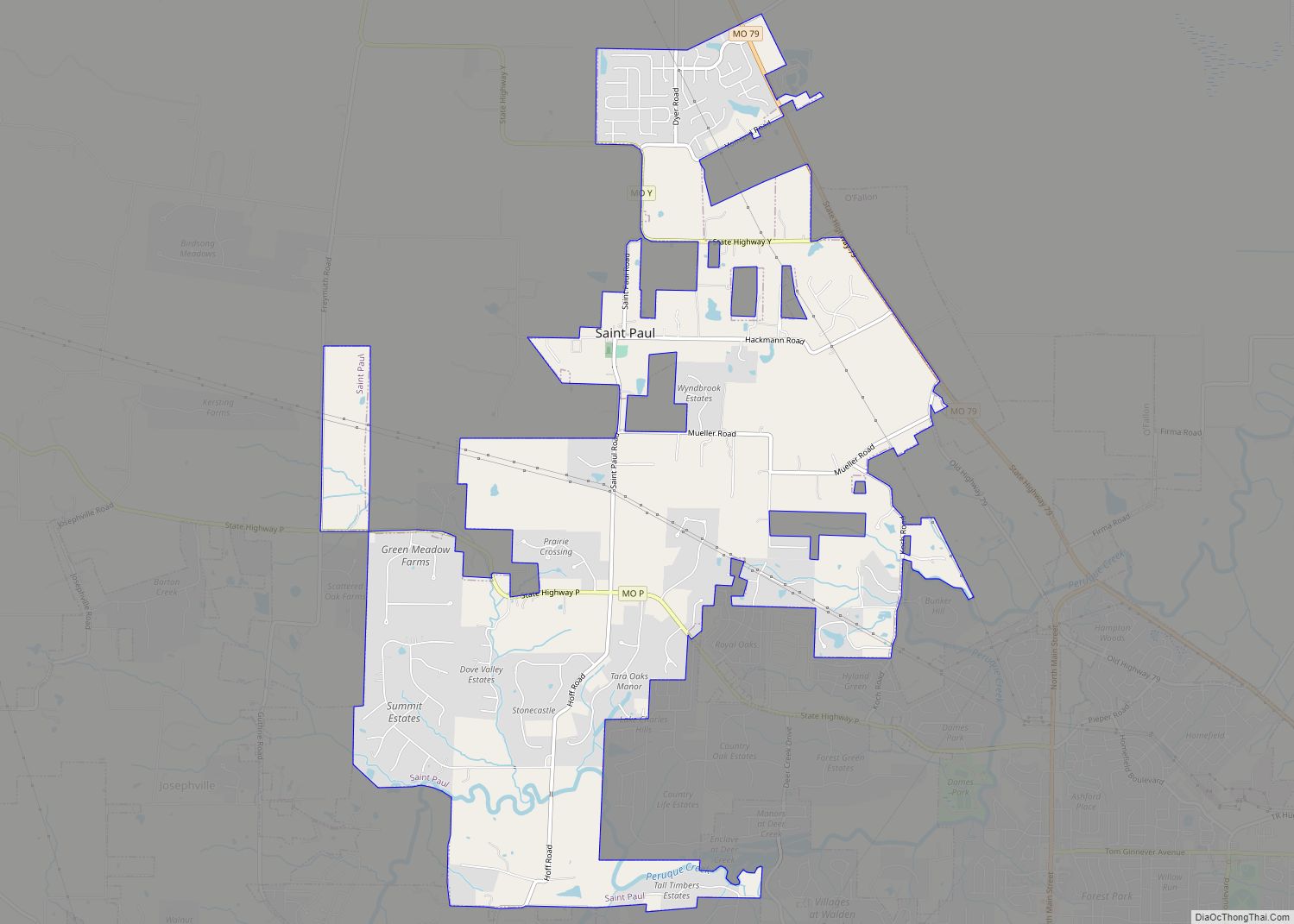
St. Paul is a city in St. Charles County, Missouri, United States. The population was 1,829 at the 2010 census. St. Paul city overview: Name: St. Paul city LSAD Code: 25 LSAD Description: city (suffix) State: Missouri County: St. Charles County Elevation: 515 ft (157 m) Total Area: 7.19 sq mi (18.62 km²) Land Area: 7.19 sq mi (18.62 km²) Water Area: 0.00 sq mi ... Read more
