St. Peters is a city in St. Charles County, Missouri, United States. The population was 57,732 at the 2020 census, making it the eleventh-largest city in Missouri. It is a northwestern suburb of St. Louis.
Interstate 70 passes through the city, providing a major transportation link. In 2008, St. Peters was named the 60th best place to live by Money magazine, putting it at the top in the state of Missouri. It also ranked in Money magazine’s Top 100 in 2010, 2012 and 2017. The city also hosts the county’s largest shopping center, Mid Rivers Mall.
| Name: | St. Peters city |
|---|---|
| LSAD Code: | 25 |
| LSAD Description: | city (suffix) |
| State: | Missouri |
| County: | St. Charles County |
| Incorporated: | 1910 |
| Total Area: | 22.47 sq mi (58.19 km²) |
| Land Area: | 22.46 sq mi (58.18 km²) |
| Water Area: | 0.00 sq mi (0.01 km²) |
| Total Population: | 57,732 |
| Population Density: | 2,570.09/sq mi (992.30/km²) |
| ZIP code: | 63376, 63304, 63303, 63366 |
| Area code: | 636 |
| FIPS code: | 2965126 |
| Website: | stpetersmo.net |
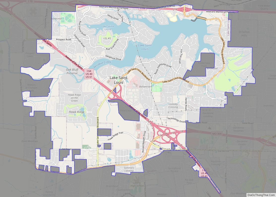
Online Interactive Map
Click on ![]() to view map in "full screen" mode.
to view map in "full screen" mode.
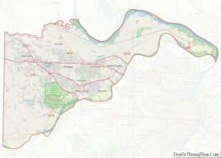
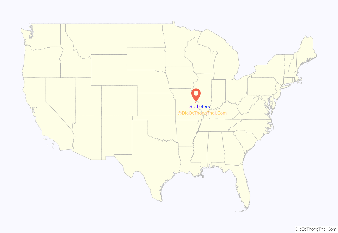
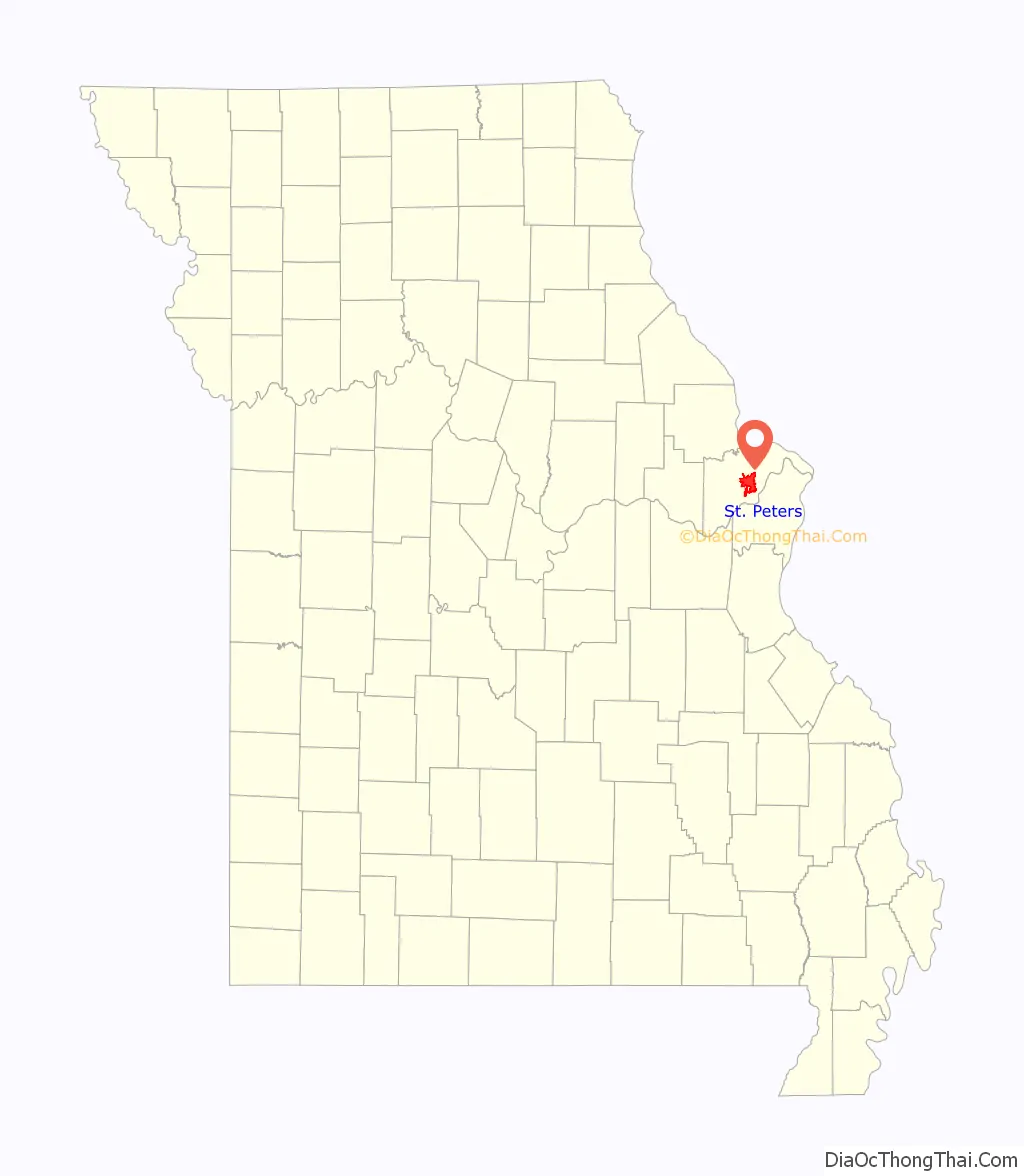
St. Peters location map. Where is St. Peters city?
History
Prior to the arrival of Europeans, the area that would become St. Peters was inhabited by Mississippian mound builders. The remains of a village were uncovered during the construction of I-70 in 1954 and a street near the site was later named Mound Drive after the mounds built by the villagers.
One of the first documented sources about European settlers in the area is a Spanish census from 1791, which documented a land grant. St. Peters was named for a Jesuit mission established there. In 1895, music was a binding factor for the area, with a well-known cornet band.
Throughout most of the twentieth century, St. Peters was a small farming town. As recently as 1970, St. Peters had a population of only 486. The population rapidly increased to 15,700 by 1980 and within the span of a decade the community changed from a small rural town to a more suburban community. The city continued its rapid growth through the 1980s and by 1990 had a population of 40,660. St. Peters population increased to an estimated 52,575 as of 2010. St.Peters celebrated its 50th year as a city in 2009, and marked its 100th year as a town in 2010, having become a town in 1910 and a city in 1959.
During flooding in the region, the National Weather Service reported 12.3 inches (310 mm) of rainfall in St. Peters for July 26, 2022, considered an unofficial record.
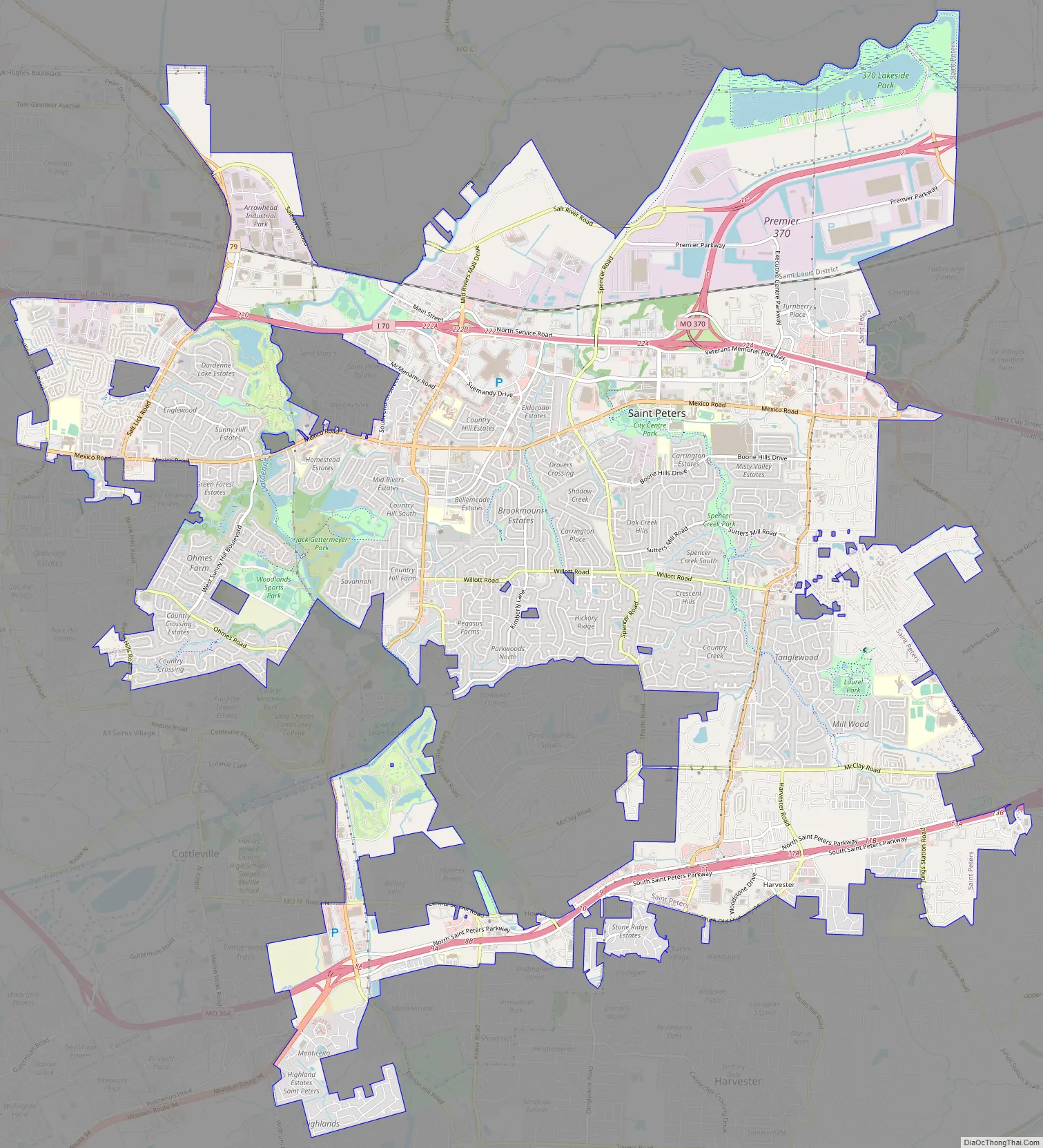
St. Peters Road Map
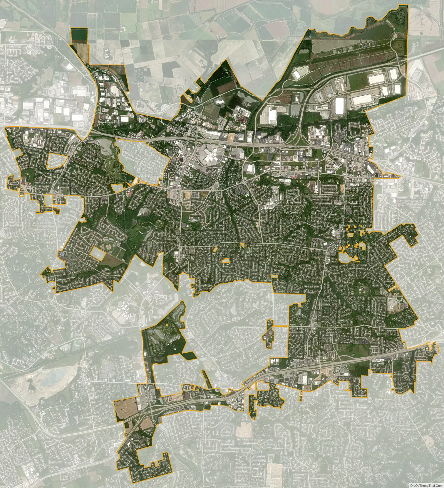
St. Peters city Satellite Map
Geography
St. Peters is located at 38°46′44″N 90°36′11″W / 38.77889°N 90.60306°W / 38.77889; -90.60306 (38.778893, -90.603131). According to the United States Census Bureau, the city has a total area of 22.37 square miles (57.94 km), all land.
Climate
See also
Map of Missouri State and its subdivision:- Adair
- Andrew
- Atchison
- Audrain
- Barry
- Barton
- Bates
- Benton
- Bollinger
- Boone
- Buchanan
- Butler
- Caldwell
- Callaway
- Camden
- Cape Girardeau
- Carroll
- Carter
- Cass
- Cedar
- Chariton
- Christian
- Clark
- Clay
- Clinton
- Cole
- Cooper
- Crawford
- Dade
- Dallas
- Daviess
- De Kalb
- Dent
- Douglas
- Dunklin
- Franklin
- Gasconade
- Gentry
- Greene
- Grundy
- Harrison
- Henry
- Hickory
- Holt
- Howard
- Howell
- Iron
- Jackson
- Jasper
- Jefferson
- Johnson
- Knox
- Laclede
- Lafayette
- Lawrence
- Lewis
- Lincoln
- Linn
- Livingston
- Macon
- Madison
- Maries
- Marion
- McDonald
- Mercer
- Miller
- Mississippi
- Moniteau
- Monroe
- Montgomery
- Morgan
- New Madrid
- Newton
- Nodaway
- Oregon
- Osage
- Ozark
- Pemiscot
- Perry
- Pettis
- Phelps
- Pike
- Platte
- Polk
- Pulaski
- Putnam
- Ralls
- Randolph
- Ray
- Reynolds
- Ripley
- Saint Charles
- Saint Clair
- Saint Francois
- Saint Louis
- Sainte Genevieve
- Saline
- Schuyler
- Scotland
- Scott
- Shannon
- Shelby
- Stoddard
- Stone
- Sullivan
- Taney
- Texas
- Vernon
- Warren
- Washington
- Wayne
- Webster
- Worth
- Wright
- Alabama
- Alaska
- Arizona
- Arkansas
- California
- Colorado
- Connecticut
- Delaware
- District of Columbia
- Florida
- Georgia
- Hawaii
- Idaho
- Illinois
- Indiana
- Iowa
- Kansas
- Kentucky
- Louisiana
- Maine
- Maryland
- Massachusetts
- Michigan
- Minnesota
- Mississippi
- Missouri
- Montana
- Nebraska
- Nevada
- New Hampshire
- New Jersey
- New Mexico
- New York
- North Carolina
- North Dakota
- Ohio
- Oklahoma
- Oregon
- Pennsylvania
- Rhode Island
- South Carolina
- South Dakota
- Tennessee
- Texas
- Utah
- Vermont
- Virginia
- Washington
- West Virginia
- Wisconsin
- Wyoming