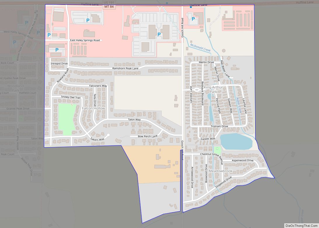
King Arthur Park is a census-designated place (CDP) in Gallatin County, Montana, United States. The population was 738 at the 2010 census. King Arthur Park CDP overview: Name: King Arthur Park CDP LSAD Code: 57 LSAD Description: CDP (suffix) State: Montana County: Gallatin County Elevation: 4,843 ft (1,476 m) Total Area: 0.47 sq mi (1.21 km²) Land Area: 0.46 sq mi (1.20 km²) ... Read more
Montana Cities and Places
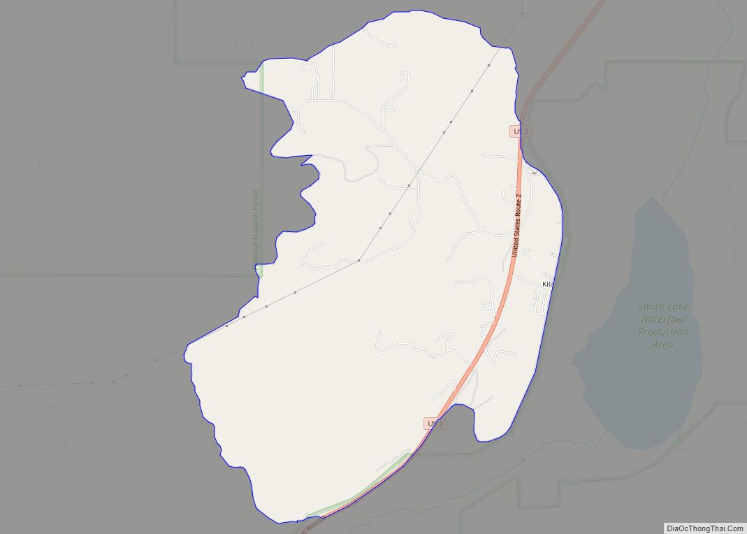
Kila is a census-designated place and unincorporated community in Flathead County, Montana, United States. Its population was 392 as of the 2010 census. Kila has a post office with ZIP code 59920, which opened on May 27, 1901. The community is located along U.S. Route 2, 10 miles from Kalispell. Originally called Sedan by the ... Read more
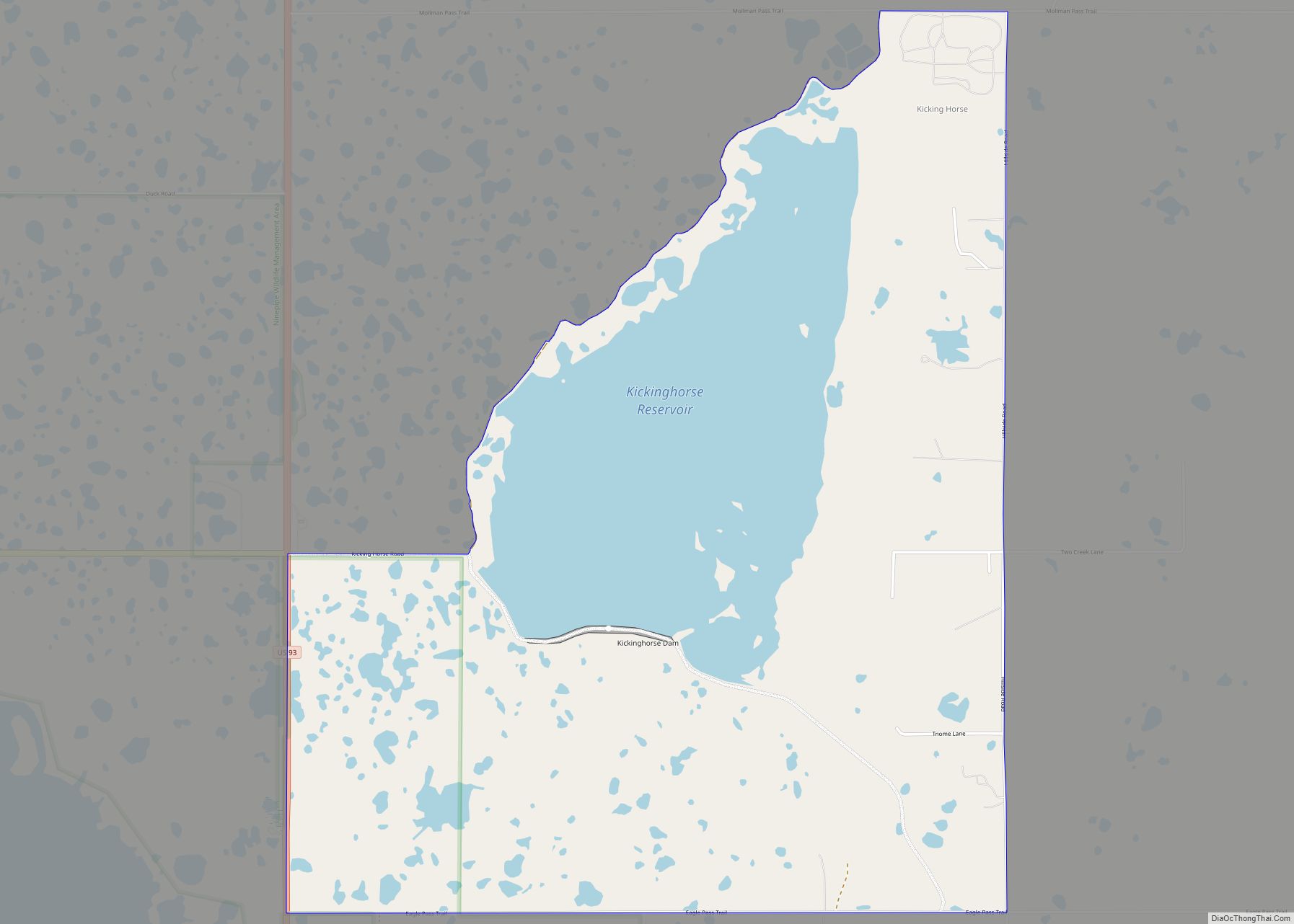
Kicking Horse is a census-designated place (CDP) in Lake County, Montana, United States. The population was 286 at the 2010 census, up from 80 in 2000. Kicking Horse CDP overview: Name: Kicking Horse CDP LSAD Code: 57 LSAD Description: CDP (suffix) State: Montana County: Lake County Elevation: 3,064 ft (934 m) Total Area: 3.56 sq mi (9.21 km²) Land Area: ... Read more
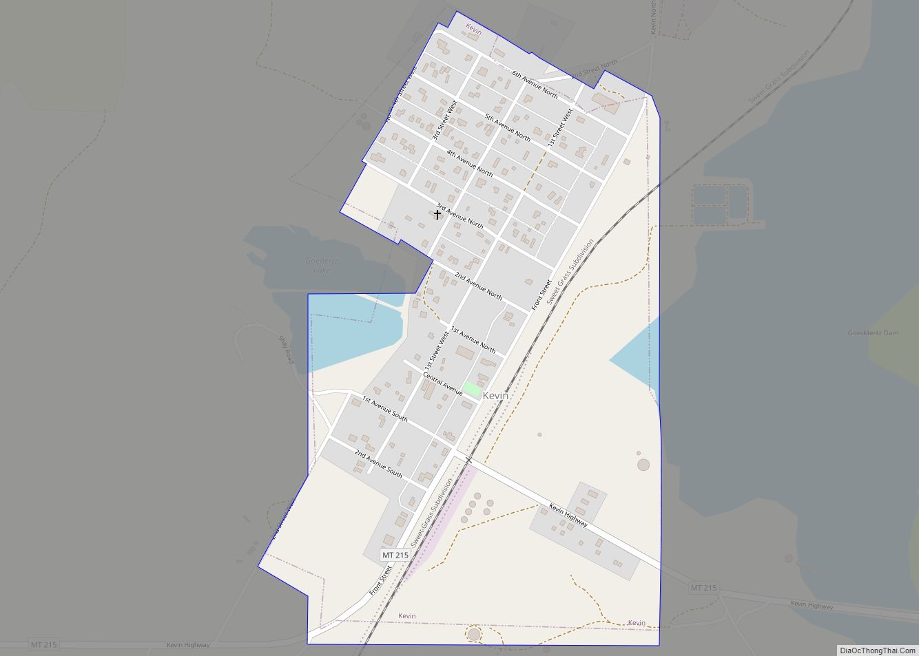
Kevin is a town in Toole County, Montana, United States. The population was 154 at the 2020 census, equal to the 2010 Census population. The town was named after Thomas Kevin, superintendent of the Alberta Railway & Irrigation Company. Locals pronounce Kevin with a long E, like Keevin. Oil was discovered in the Kevin Sunburst ... Read more
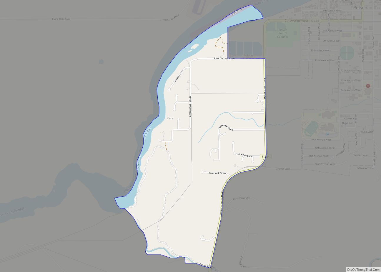
Kerr is a census-designated place (CDP) in Lake County, Montana, United States. The population was 251 at the 2010 census, up from 17 in 2000. Kerr CDP overview: Name: Kerr CDP LSAD Code: 57 LSAD Description: CDP (suffix) State: Montana County: Lake County Elevation: 2,966 ft (904 m) Total Area: 1.02 sq mi (2.63 km²) Land Area: 0.91 sq mi (2.36 km²) Water ... Read more
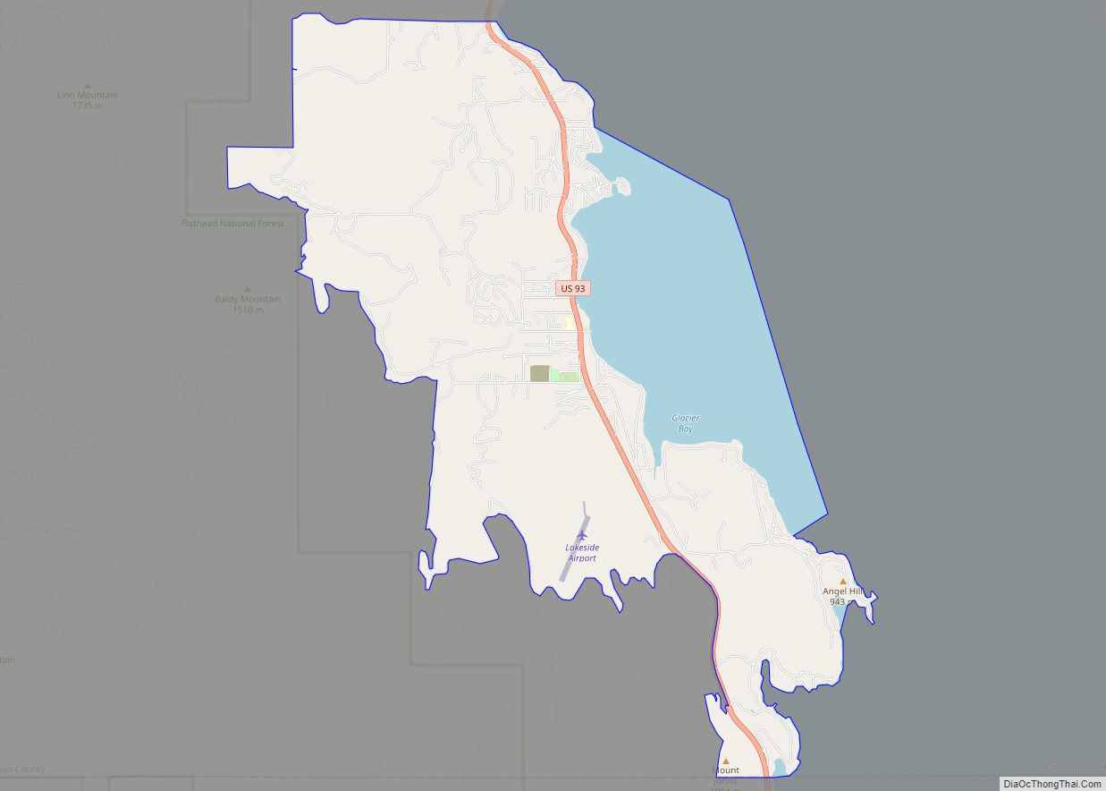
Lakeside is an unincorporated area and census-designated place (CDP) in Flathead County, Montana, United States. The population was 2,669 at the 2010 census, up from 1,679 in 2000. In 1892 the town was called Stoner, named after John J. Stoner, proprietor of a hotel near the shores of Flathead Lake. A community named Lakeside already ... Read more
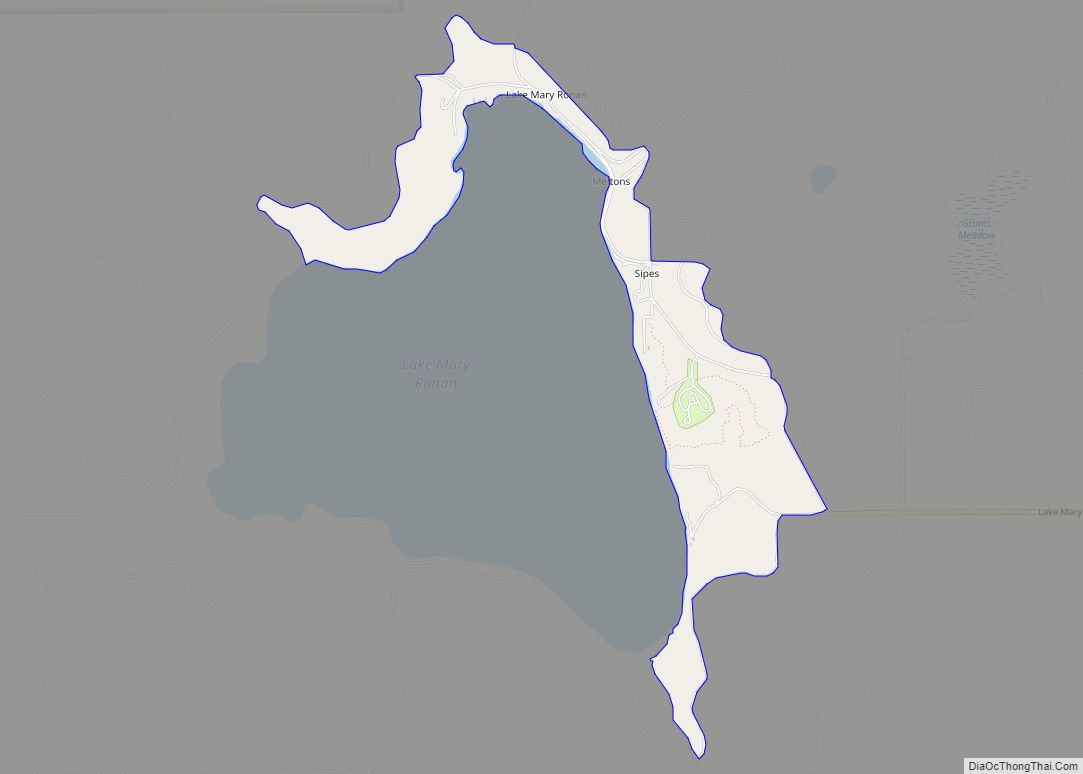
Lake Mary Ronan is a census-designated place (CDP) in Lake County, Montana, United States. The population was 65 at the 2010 census. The CDP is in northwestern Lake County, along the northern and eastern shores of Lake Mary Ronan, and includes the populated places of Lake Mary Ronan, Melton, and Sipes, as well as Lake ... Read more
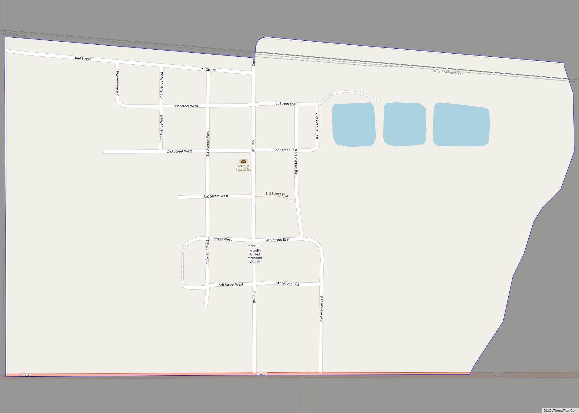
Kremlin is an unincorporated community and census-designated place (CDP) in Hill County, Montana, United States. The population was 98 at the 2010 census, down from 126 in 2000. Kremlin CDP overview: Name: Kremlin CDP LSAD Code: 57 LSAD Description: CDP (suffix) State: Montana County: Hill County Elevation: 2,861 ft (872 m) Total Area: 0.44 sq mi (1.14 km²) Land Area: ... Read more
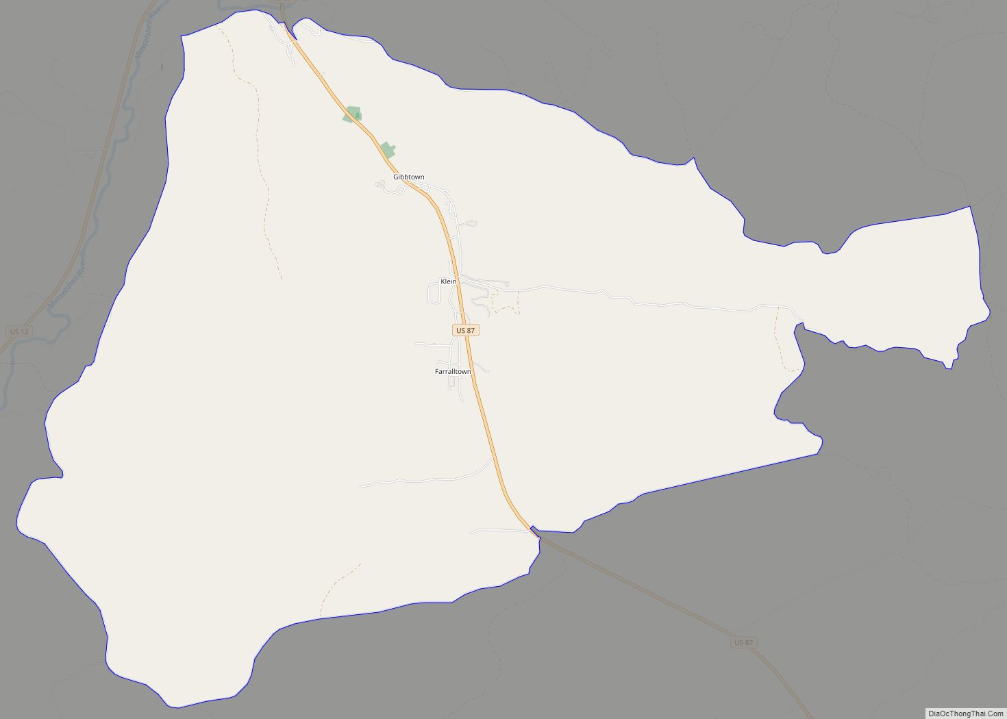
Klein is a census-designated place (CDP) in Musselshell County, Montana, United States. The population was 188 at the 2000 census. Klein CDP overview: Name: Klein CDP LSAD Code: 57 LSAD Description: CDP (suffix) State: Montana County: Musselshell County Elevation: 3,284 ft (1,001 m) Total Area: 12.85 sq mi (33.28 km²) Land Area: 12.85 sq mi (33.28 km²) Water Area: 0.00 sq mi (0.00 km²) Total Population: ... Read more
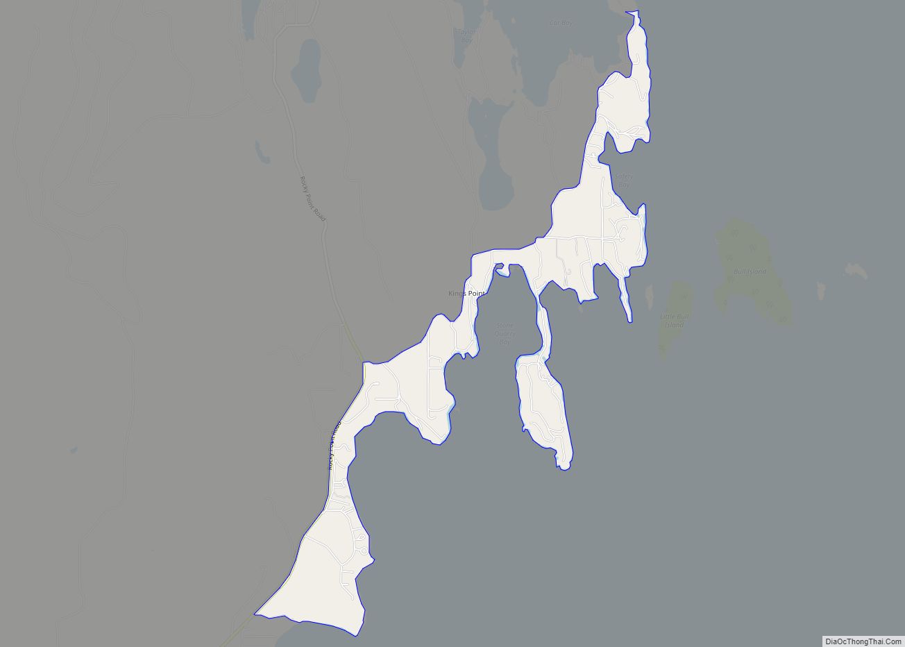
Kings Point is a census-designated place (CDP) in Lake County, Montana, United States. The population was 151 at the 2010 census, down from 169 in 2000. Kings Point CDP overview: Name: Kings Point CDP LSAD Code: 57 LSAD Description: CDP (suffix) State: Montana County: Lake County Elevation: 2,972 ft (906 m) Total Area: 1.35 sq mi (3.50 km²) Land Area: ... Read more
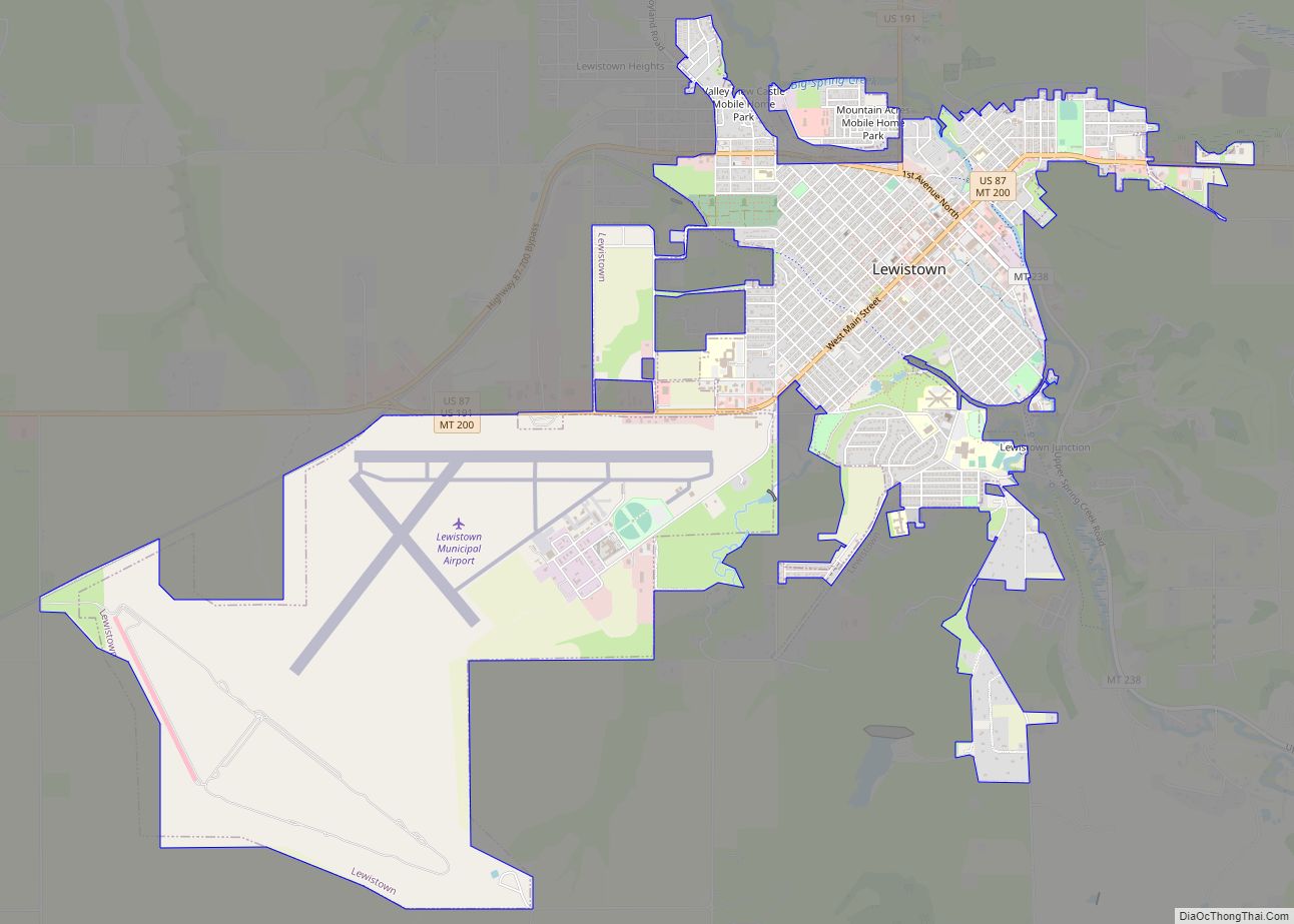
Lewistown is a city in and the county seat of Fergus County, Montana, United States. The population was 5,952 at the 2020 census. Lewistown is located in the geographic center of the state, southeast of Great Falls and northwest of Billings. First planned in 1882, it was the site of an 1880s gold rush, and ... Read more
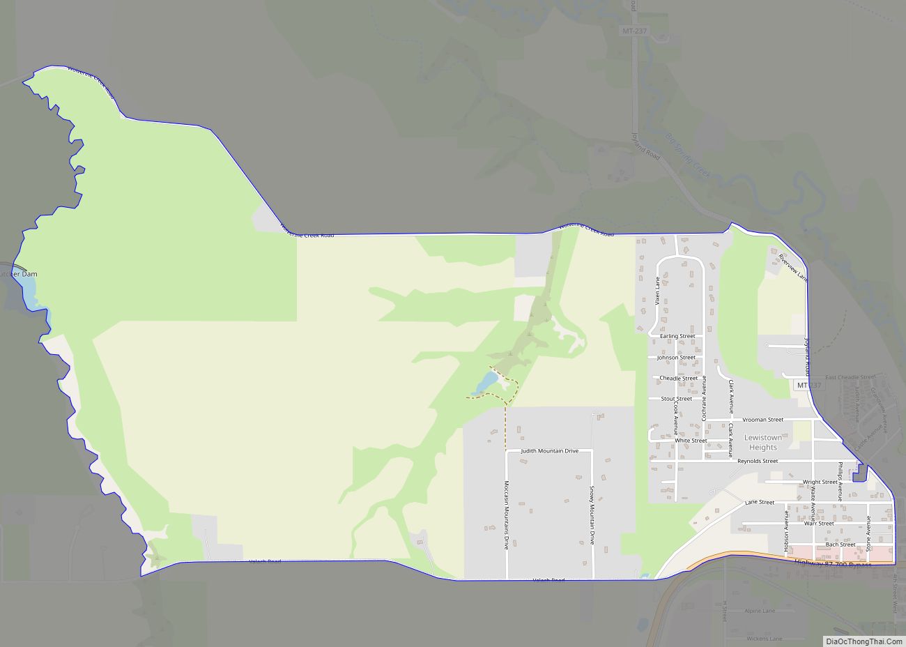
Lewistown Heights is an unincorporated area and census-designated place (CDP) in Fergus County, Montana, United States. The population was 407 at the 2010 census, up from 365 in 2000. Lewistown Heights CDP overview: Name: Lewistown Heights CDP LSAD Code: 57 LSAD Description: CDP (suffix) State: Montana County: Fergus County Elevation: 3,947 ft (1,203 m) Total Area: 2.36 sq mi ... Read more
