Pioneer Junction is a census-designated place (CDP) in Lincoln County, Montana, United States. The population was 959 at the 2010 census. Pioneer Junction CDP overview: Name: Pioneer Junction CDP LSAD Code: 57 LSAD Description: CDP (suffix) State: Montana County: Lincoln County Elevation: 2,438 ft (743 m) Total Area: 3.52 sq mi (9.13 km²) Land Area: 3.52 sq mi (9.13 km²) Water Area: 0.00 sq mi ... Read more
Montana Cities and Places
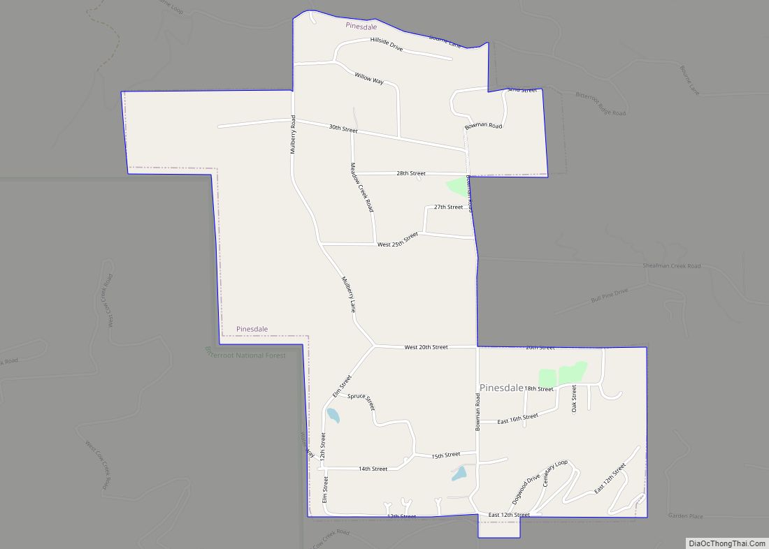
Pinesdale is a town in Ravalli County, Montana, United States. The population was 805 at the 2020 census. The town was incorporated in 1980. It was settled in the early 1960s by fundamentalist Mormons, who selected its secluded location for the privacy. Pinesdale town overview: Name: Pinesdale town LSAD Code: 43 LSAD Description: town (suffix) ... Read more
Piltzville is a census-designated place (CDP) in Missoula County, Montana, United States. The population was 395 at the 2010 census. Piltzville CDP overview: Name: Piltzville CDP LSAD Code: 57 LSAD Description: CDP (suffix) State: Montana County: Missoula County Elevation: 3,301 ft (1,006 m) Total Area: 0.75 sq mi (1.94 km²) Land Area: 0.75 sq mi (1.94 km²) Water Area: 0.00 sq mi (0.00 km²) Total Population: ... Read more
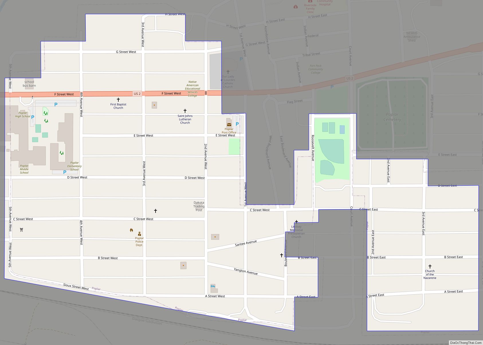
Poplar is a city in Roosevelt County, Montana, United States. The population was 758 at the 2020 census. The U.S. Army constructed Camp Poplar here in the 1870s to oversee the Fort Peck Indian Reservation. Poplar became reservation headquarters after the military abandoned the camp in 1893. Poplar city overview: Name: Poplar city LSAD Code: ... Read more
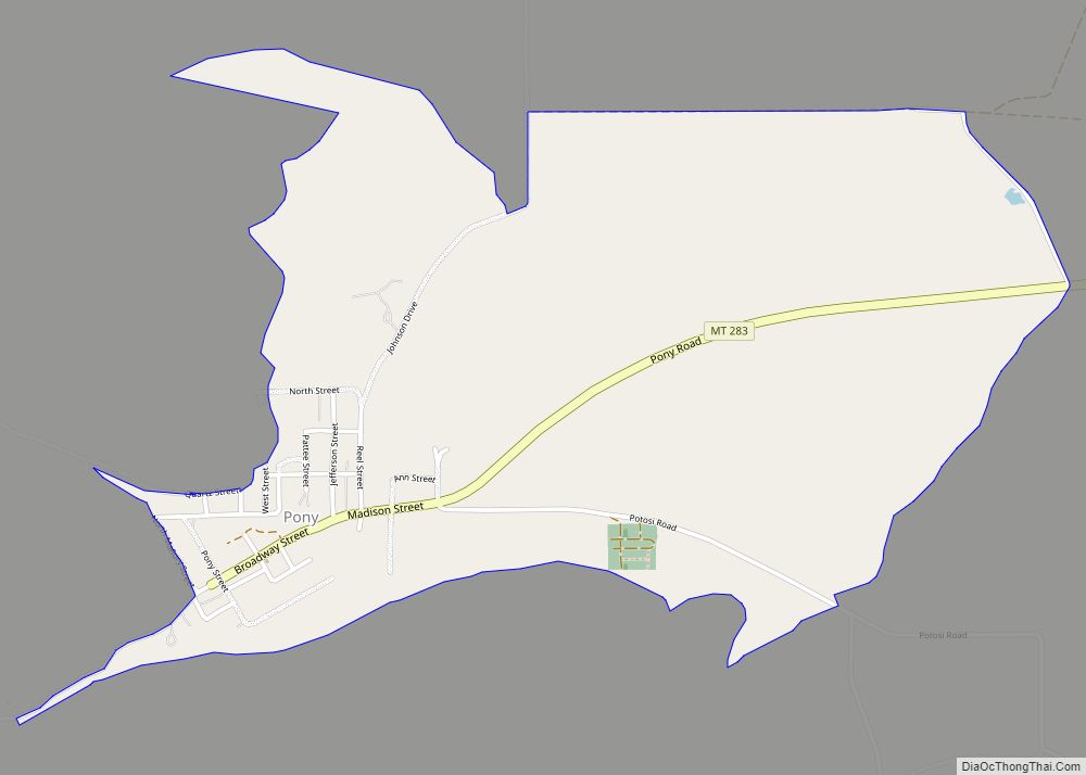
Pony is an unincorporated community and census-designated place in northeastern Madison County, Montana, United States on the eastern edge of the Tobacco Root Mountains. It includes the 192-acre (78 ha) Pony Historic District, a historic district with 95 contributing buildings listed on the National Register of Historic Places. The town gained its name from the nickname ... Read more
Ponderosa Pines is a census-designated place (CDP) in Gallatin County, Montana, United States. The population was 336 at the 2010 census. Formerly a 13,000-acre ranch, the land was subdivided into 10- and 20-acre parcels and sold by a Hawaiian real estate agency starting in 1972. The lots lacked water, sewer, electricity and road access, and ... Read more
Polson (Montana Salish: nčmqnétkʷ, Kutenai: kwataqnuk) is a city in Lake County, Montana, United States, on the southern shore of Flathead Lake. It is also on the Flathead Indian Reservation. The population was 5,148 at the 2020 census. It is the county seat of Lake County. In 1898 the city was named after pioneer rancher ... Read more
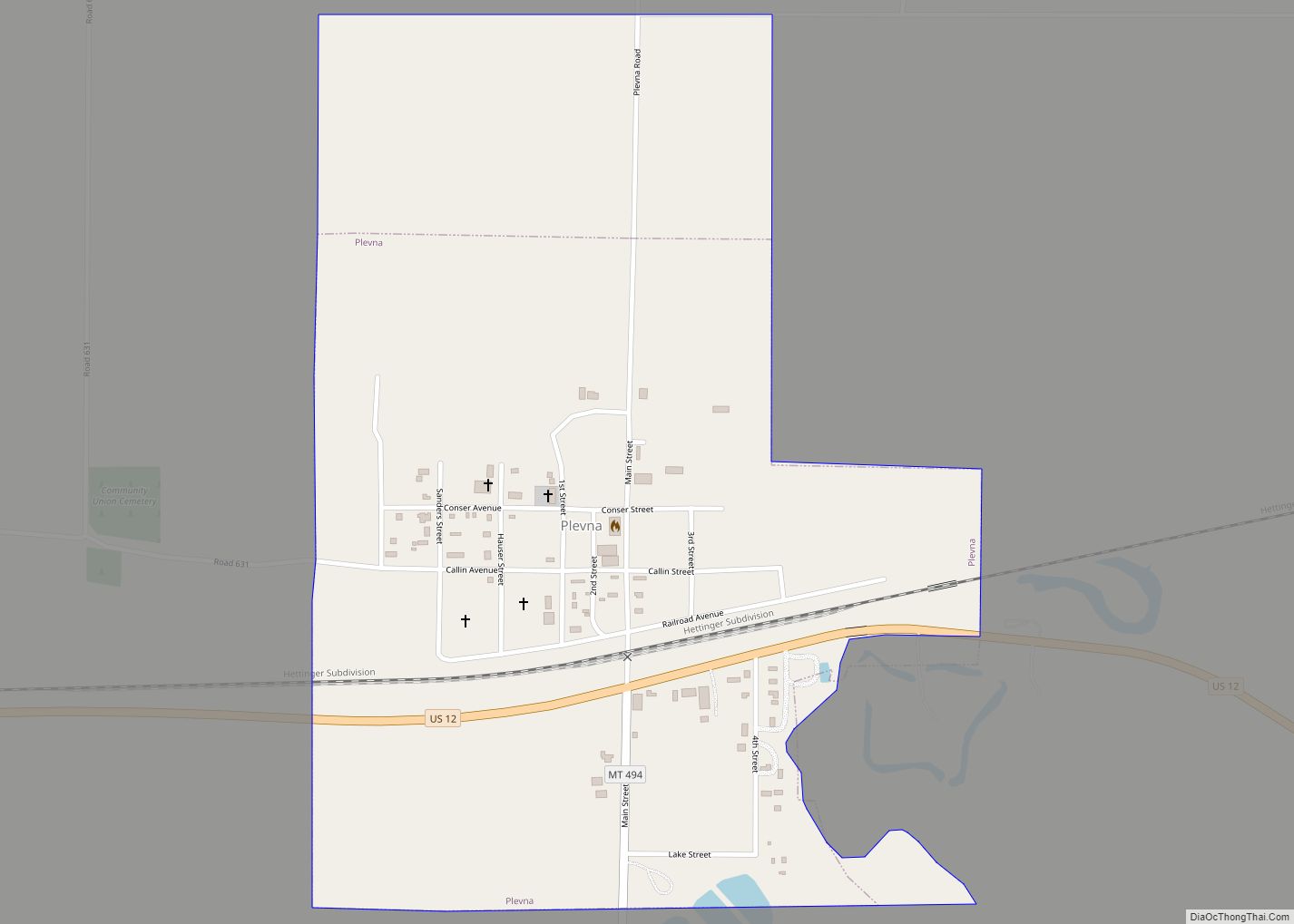
Plevna is a town in Fallon County, Montana, United States. The population was 179 at the 2020 census. Plevna was founded in 1909 along the Milwaukee Road transcontinental rail line known as the Pacific Extension. Bulgarian railroad workers named the town after the city of Pleven in Bulgaria. Plevna town overview: Name: Plevna town LSAD ... Read more
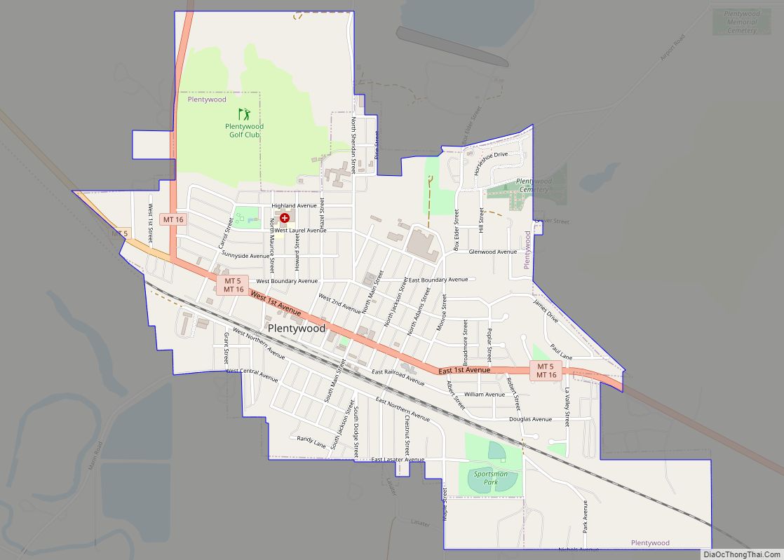
Plentywood is a city in and the county seat of Sheridan County, Montana, United States. The population was 1,669 at the 2020 census. Plentywood city overview: Name: Plentywood city LSAD Code: 25 LSAD Description: city (suffix) State: Montana County: Sheridan County Elevation: 2,047 ft (624 m) Total Area: 1.36 sq mi (3.51 km²) Land Area: 1.36 sq mi (3.51 km²) Water Area: 0.00 sq mi ... Read more
Plains (Salish: ncc̓kʷi) is a town in Sanders County, Montana, United States. The population was 1,106 at the 2020 census. It was founded as Horse Plains and sometimes called Wild Horse Plains, as the local Native Americans would winter their horses here to feed on the grasses in the valley. The name was later shortened ... Read more
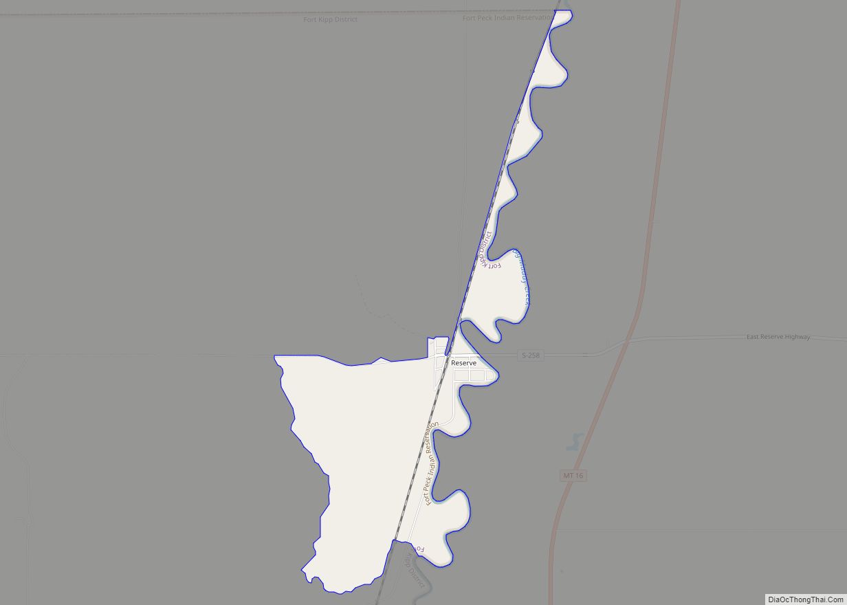
Reserve is a census-designated place (CDP) in Sheridan County, Montana, United States. The population was 23 at the 2010 census. The town of Wakea was platted in 1911. The name was changed in 1912 with the establishment of the post office. The name comes from the proximity to the Fort Peck Indian Reservation. Reserve CDP ... Read more
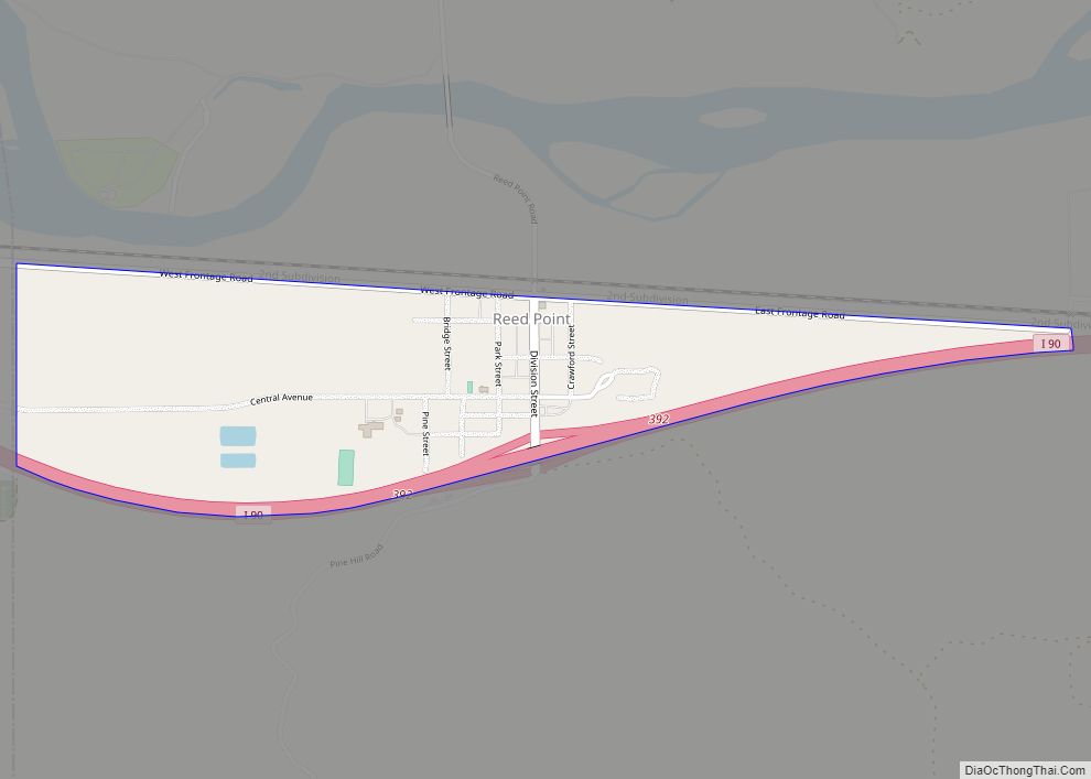
Reed Point is a census-designated place (CDP) in Stillwater County, Montana, United States. The population was 185 at the 2000 census. Reed Point CDP overview: Name: Reed Point CDP LSAD Code: 57 LSAD Description: CDP (suffix) State: Montana County: Stillwater County Elevation: 3,747 ft (1,142 m) Total Area: 0.56 sq mi (1.44 km²) Land Area: 0.56 sq mi (1.44 km²) Water Area: 0.00 sq mi ... Read more

