Polson (Montana Salish: nčmqnétkʷ, Kutenai: kwataqnuk) is a city in Lake County, Montana, United States, on the southern shore of Flathead Lake. It is also on the Flathead Indian Reservation. The population was 5,148 at the 2020 census. It is the county seat of Lake County. In 1898 the city was named after pioneer rancher David Polson. It was incorporated in 1910.
| Name: | Polson city |
|---|---|
| LSAD Code: | 25 |
| LSAD Description: | city (suffix) |
| State: | Montana |
| County: | Lake County |
| Elevation: | 2,927 ft (892 m) |
| Total Area: | 4.66 sq mi (12.07 km²) |
| Land Area: | 4.49 sq mi (11.63 km²) |
| Water Area: | 0.17 sq mi (0.44 km²) |
| Total Population: | 5,148 |
| Population Density: | 1,146.04/sq mi (442.53/km²) |
| ZIP code: | 59860 |
| Area code: | 406 |
| FIPS code: | 3058750 |
| GNISfeature ID: | 0775341 |
| Website: | www.cityofpolson.com |
Online Interactive Map
Click on ![]() to view map in "full screen" mode.
to view map in "full screen" mode.
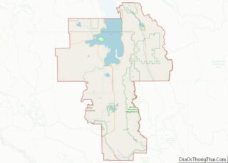
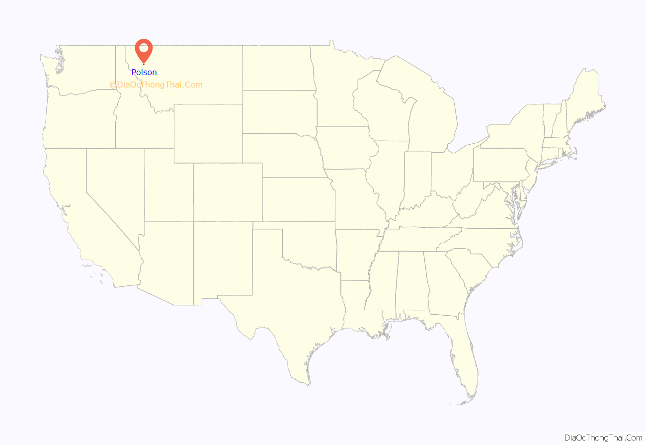
Polson location map. Where is Polson city?
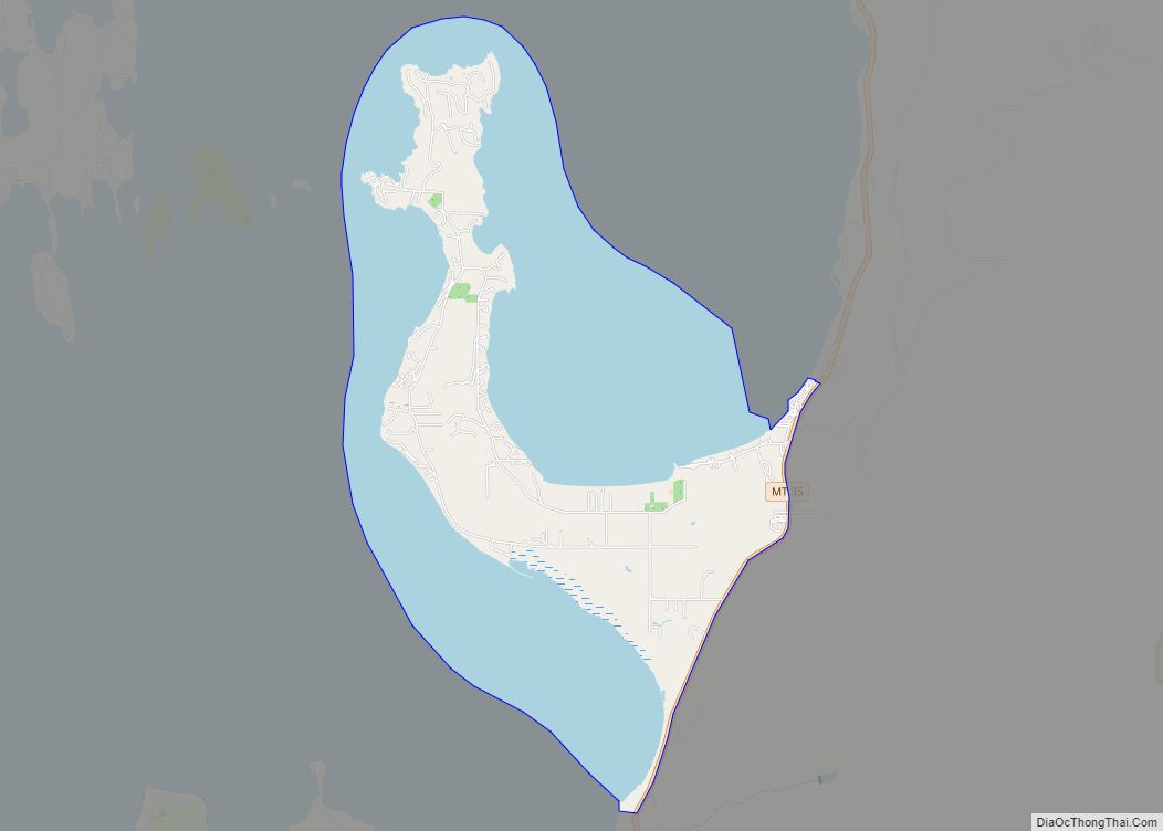
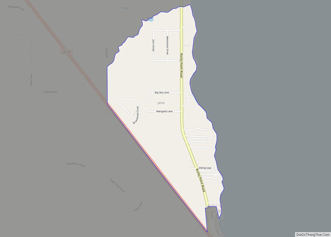
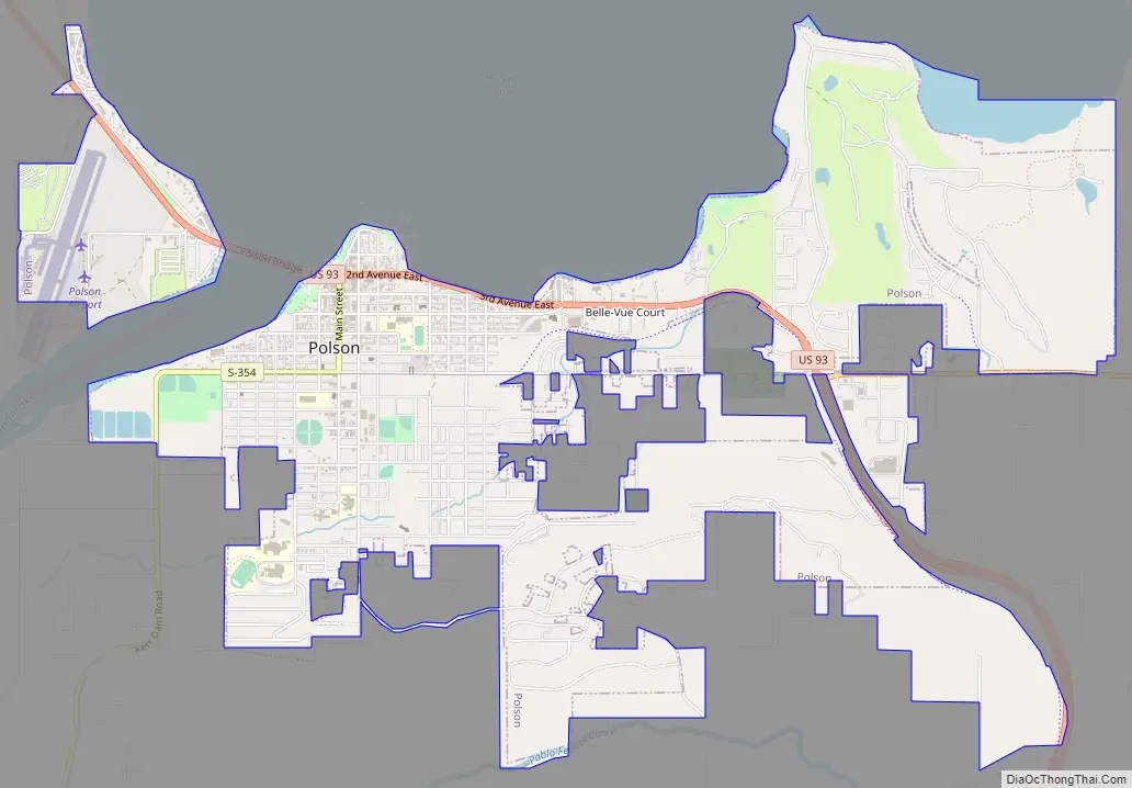
Polson Road Map
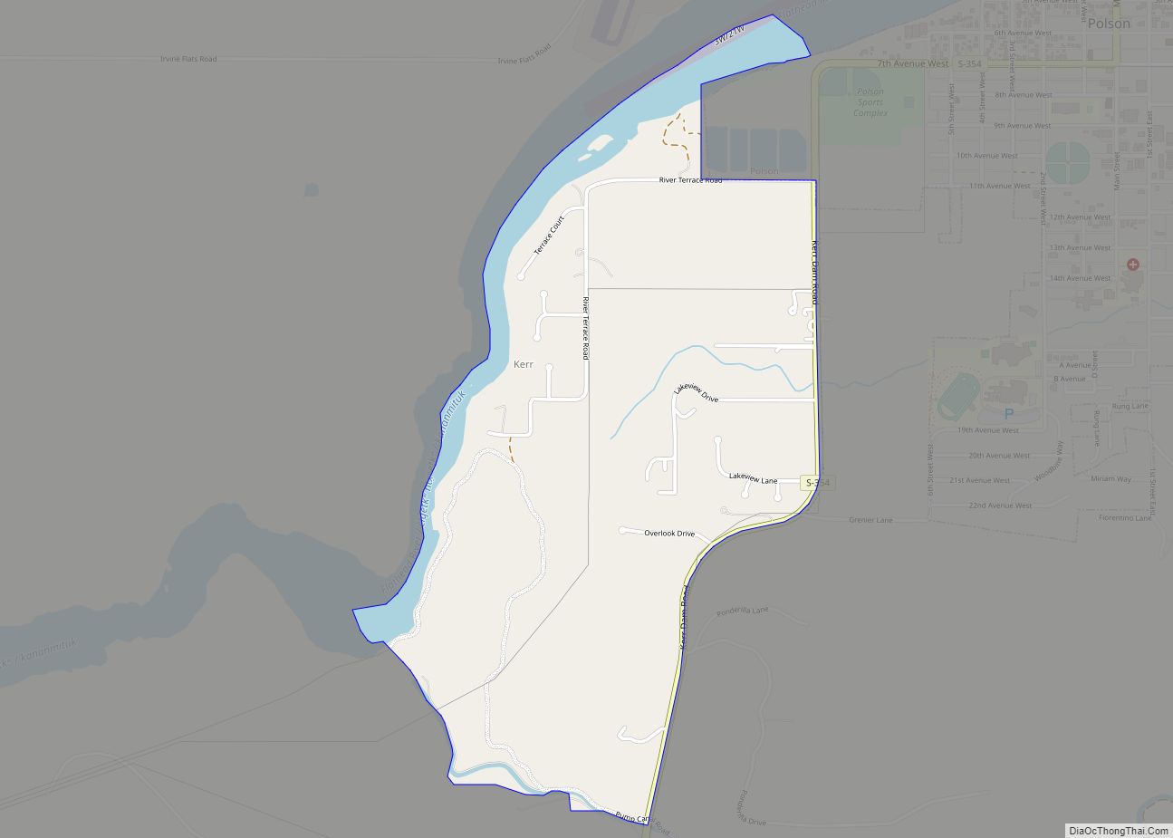
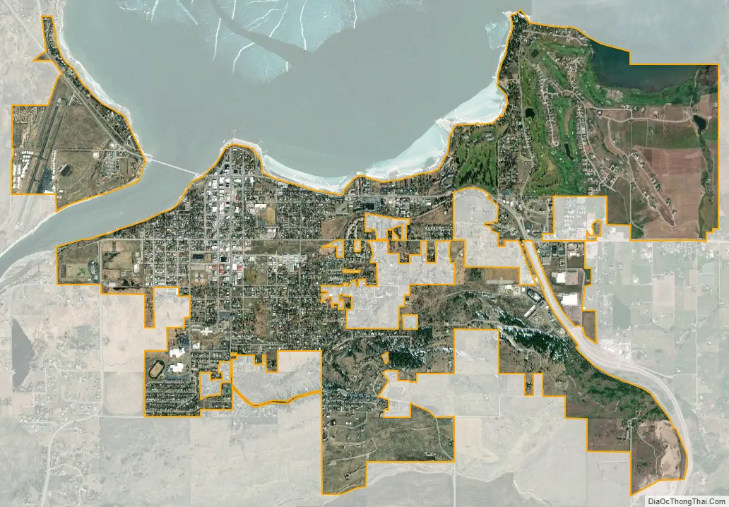
Polson city Satellite Map
Geography
Polson is located at 47°41′17″N 114°9′24″W / 47.68806°N 114.15667°W / 47.68806; -114.15667 (47.688089, -114.156766). U.S. Route 93 passes through town. Pablo National Wildlife Refuge is just to the south.
According to the United States Census Bureau, the city has a total area of 4.17 square miles (10.80 km), of which 4.14 square miles (10.72 km) is land and 0.03 square miles (0.08 km) is water.
See also
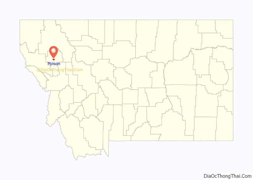
Map of Montana State and its subdivision:- Beaverhead
- Big Horn
- Blaine
- Broadwater
- Carbon
- Carter
- Cascade
- Chouteau
- Custer
- Daniels
- Dawson
- Deer Lodge
- Fallon
- Fergus
- Flathead
- Gallatin
- Garfield
- Glacier
- Golden Valley
- Granite
- Hill
- Jefferson
- Judith Basin
- Lake
- Lewis and Clark
- Liberty
- Lincoln
- Madison
- McCone
- Meagher
- Mineral
- Missoula
- Musselshell
- Park
- Petroleum
- Phillips
- Pondera
- Powder River
- Powell
- Prairie
- Ravalli
- Richland
- Roosevelt
- Rosebud
- Sanders
- Sheridan
- Silver Bow
- Stillwater
- Sweet Grass
- Teton
- Toole
- Treasure
- Valley
- Wheatland
- Wibaux
- Yellowstone
- Alabama
- Alaska
- Arizona
- Arkansas
- California
- Colorado
- Connecticut
- Delaware
- District of Columbia
- Florida
- Georgia
- Hawaii
- Idaho
- Illinois
- Indiana
- Iowa
- Kansas
- Kentucky
- Louisiana
- Maine
- Maryland
- Massachusetts
- Michigan
- Minnesota
- Mississippi
- Missouri
- Montana
- Nebraska
- Nevada
- New Hampshire
- New Jersey
- New Mexico
- New York
- North Carolina
- North Dakota
- Ohio
- Oklahoma
- Oregon
- Pennsylvania
- Rhode Island
- South Carolina
- South Dakota
- Tennessee
- Texas
- Utah
- Vermont
- Virginia
- Washington
- West Virginia
- Wisconsin
- Wyoming