Map of Broadview town, Montana

Map of Broadview town, Montana

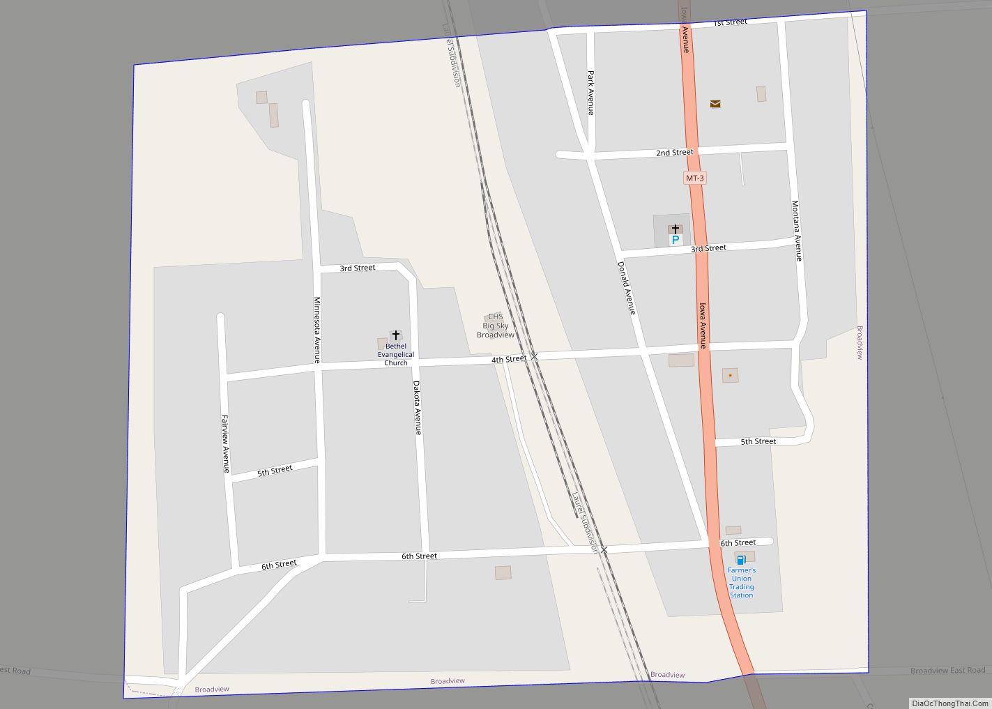
Broadview is a town in Yellowstone County, Montana, United States. The population was 139 at the 2020 census. The post office was established in 1908 and the town was incorporated in 1917. Broadview town overview: Name: Broadview town LSAD Code: 43 LSAD Description: town (suffix) State: Montana County: Yellowstone County Elevation: 3,881 ft (1,183 m) Total Area: … Read more

Map of Broadus town

Map of Broadus town

Broadus is a town in and the county seat of Powder River County, Montana, United States. The population was 456 at the 2020 census. Broadus town overview: Name: Broadus town LSAD Code: 43 LSAD Description: town (suffix) State: Montana County: Powder River County Elevation: 3,028 ft (923 m) Total Area: 0.35 sq mi (0.91 km²) Land Area: 0.35 sq mi (0.91 km²) Water … Read more

Map of Butte-Silver Bow

Map of Butte-Silver Bow

Butte-Silver Bow overview: Name: Butte-Silver Bow LSAD Code: 00 LSAD Description: 0 State: Montana County: Silver Bow County FIPS code: 3011397 Online Interactive Map Butte-Silver Bow online map. Source: Basemap layers from Google Map, Open Street Map (OSM), Arcgisonline, Wmflabs. Boundary Data from Database of Global Administrative Areas. Butte-Silver Bow location map. Where is Butte-Silver … Read more

Map of Butte-Silver Bow (balance)

Map of Butte-Silver Bow (balance)

Butte-Silver Bow (balance) overview: Name: Butte-Silver Bow (balance) LSAD Code: 00 LSAD Description: 0 State: Montana County: Silver Bow County FIPS code: 3011397 Online Interactive Map Butte-Silver Bow (balance) online map. Source: Basemap layers from Google Map, Open Street Map (OSM), Arcgisonline, Wmflabs. Boundary Data from Database of Global Administrative Areas. Butte-Silver Bow (balance) location … Read more

Map of Camp Three CDP

Map of Camp Three CDP

Camp Three is a census-designated place (CDP) in Musselshell County, Montana, United States. The population was 138 at the 2000 census. Camp Three CDP overview: Name: Camp Three CDP LSAD Code: 57 LSAD Description: CDP (suffix) State: Montana County: Musselshell County Elevation: 3,225 ft (983 m) Total Area: 4.45 sq mi (11.54 km²) Land Area: 4.45 sq mi (11.54 km²) Water Area: 0.00 sq mi … Read more

Map of Camas CDP

Map of Camas CDP, Montana

Camas is a census-designated place (CDP) in Sanders County, Montana, United States. The population was 58 at the 2010 census. Camas CDP overview: Name: Camas CDP LSAD Code: 57 LSAD Description: CDP (suffix) State: Montana County: Sanders County Elevation: 2,828 ft (862 m) Total Area: 0.55 sq mi (1.42 km²) Land Area: 0.55 sq mi (1.42 km²) Water Area: 0.00 sq mi (0.00 km²) Total Population: … Read more

Map of Bynum CDP

Map of Bynum CDP, Montana

Bynum is an unincorporated community and census-designated place in Teton County, Montana, United States, approximately 13 miles north of Choteau. Its population was 31 as of the 2010 census. Bynum is the site of a one-room country school, a general store, post office, an agate shop, and Two Medicine Dinosaur Center, which provides displays and … Read more

Map of Charlo CDP

Map of Charlo CDP

Charlo (Salish: sallu) is an unincorporated community and census-designated place (CDP) in Lake County, Montana, United States. The population was 379 at the 2010 census, down from 439 in 2000. The 2018 population estimate was 320. The town was named in 1918 after the Salish leader Chief Charlo. Previously it had been called Big Flat, … Read more

Map of Cascade town, Montana

Map of Cascade town, Montana

Cascade is a town in Cascade County, Montana, United States. The population was 600 at the 2020 census. It is part of the Great Falls, Montana Metropolitan Statistical Area, which in 2020 had a population of 84,414. Cascade was incorporated in 1911. Cascade town overview: Name: Cascade town LSAD Code: 43 LSAD Description: town (suffix) … Read more

Map of Carter CDP

Map of Carter CDP, Montana

Carter is a census-designated place (CDP) in Chouteau County, Montana, United States. The population was 58 at the 2010 census. Carter’s name was changed from Sidney in 1905 to honor Thomas H. Carter, the state’s first congressional representative. Carter CDP overview: Name: Carter CDP LSAD Code: 57 LSAD Description: CDP (suffix) State: Montana County: Chouteau … Read more

Map of Carlton CDP, Montana

Map of Carlton CDP, Montana

Carlton is a census-designated place (CDP) in Missoula County, Montana, United States. The population was 694 at the 2010 census. The Florence-Carlton School District educates students from kindergarten through 12th grade. It is located in Florence. Carlton CDP overview: Name: Carlton CDP LSAD Code: 57 LSAD Description: CDP (suffix) State: Montana County: Missoula County Elevation: … Read more

Map of Cardwell CDP, Montana

Map of Cardwell CDP, Montana

Cardwell is a census-designated place (CDP) in Jefferson County, Montana, United States. The population was 50 at the 2010 census. It is part of the Helena Micropolitan Statistical Area. The town was named for area rancher and state senator Edward Cardwell. Cardwell CDP overview: Name: Cardwell CDP LSAD Code: 57 LSAD Description: CDP (suffix) State: … Read more