Cascade is a town in Cascade County, Montana, United States. The population was 600 at the 2020 census. It is part of the Great Falls, Montana Metropolitan Statistical Area, which in 2020 had a population of 84,414. Cascade was incorporated in 1911.
| Name: | Cascade town |
|---|---|
| LSAD Code: | 43 |
| LSAD Description: | town (suffix) |
| State: | Montana |
| County: | Cascade County |
| Elevation: | 3,389 ft (1,033 m) |
| Land Area: | 0.66 sq mi (1.70 km²) |
| Water Area: | 0.00 sq mi (0.01 km²) |
| Population Density: | 914.63/sq mi (353.05/km²) |
| ZIP code: | 59421 |
| Area code: | 406 |
| FIPS code: | 3012775 |
| GNISfeature ID: | 0769638 |
| Website: | www.cascademontana.com |
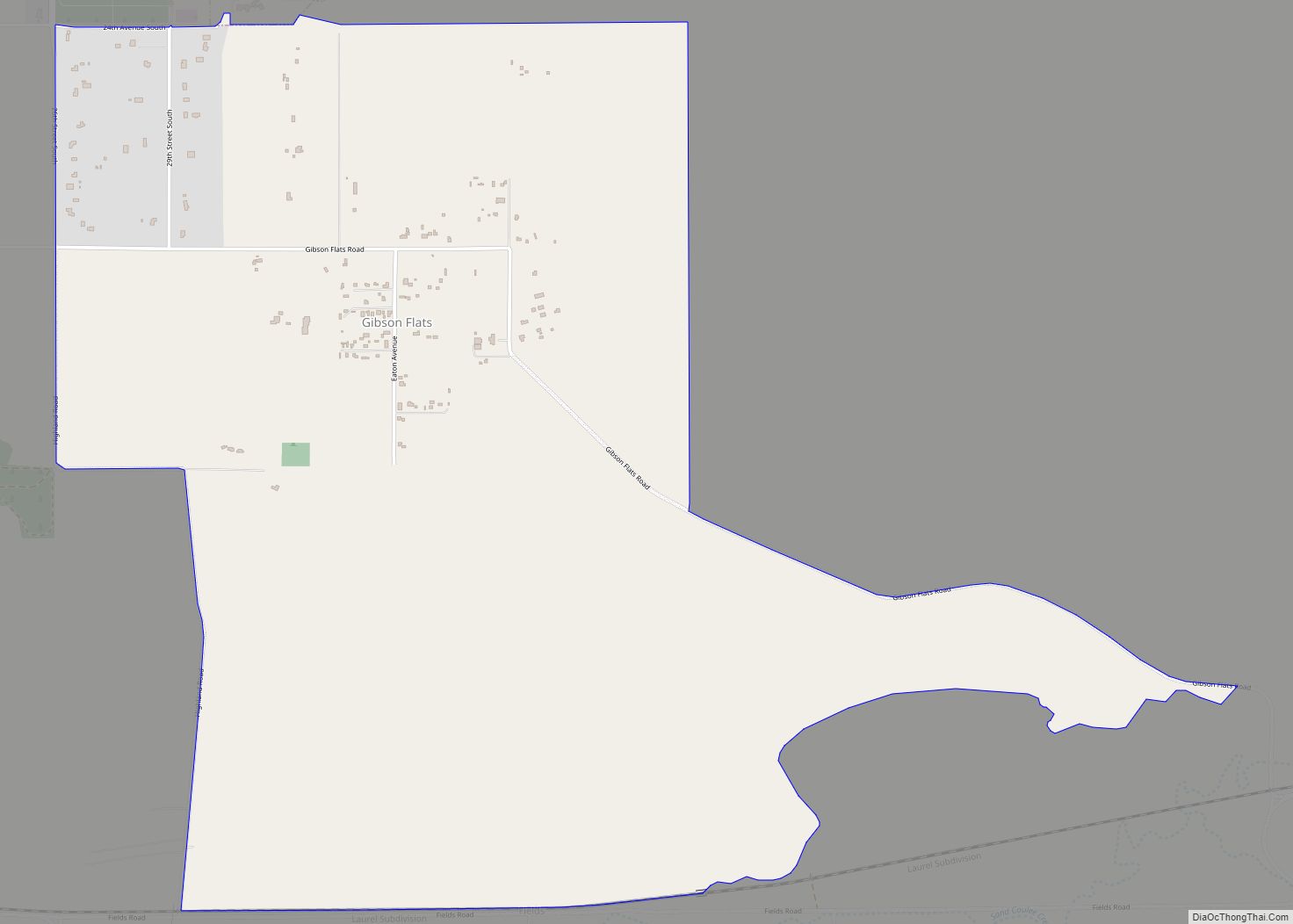
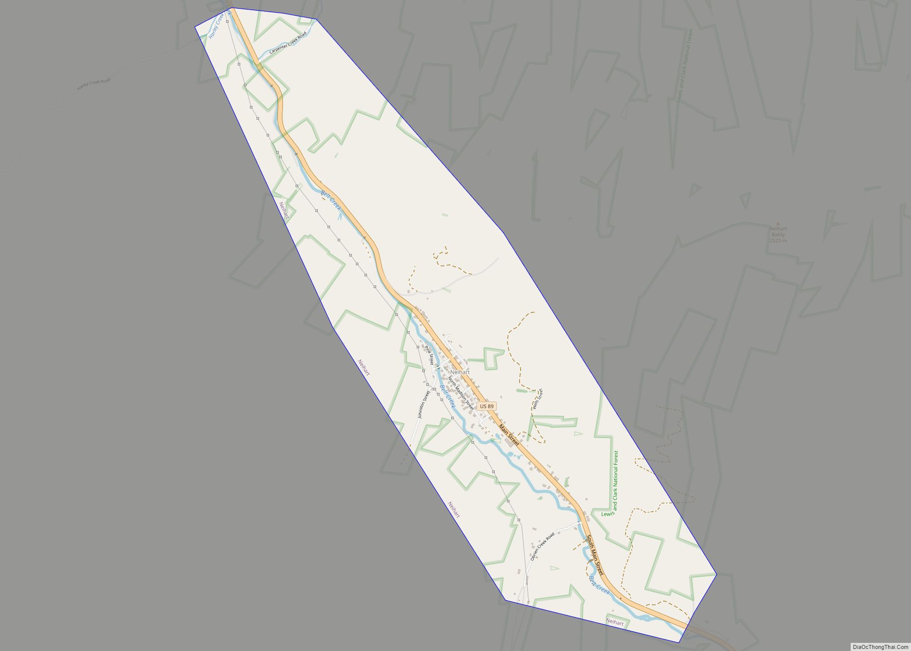
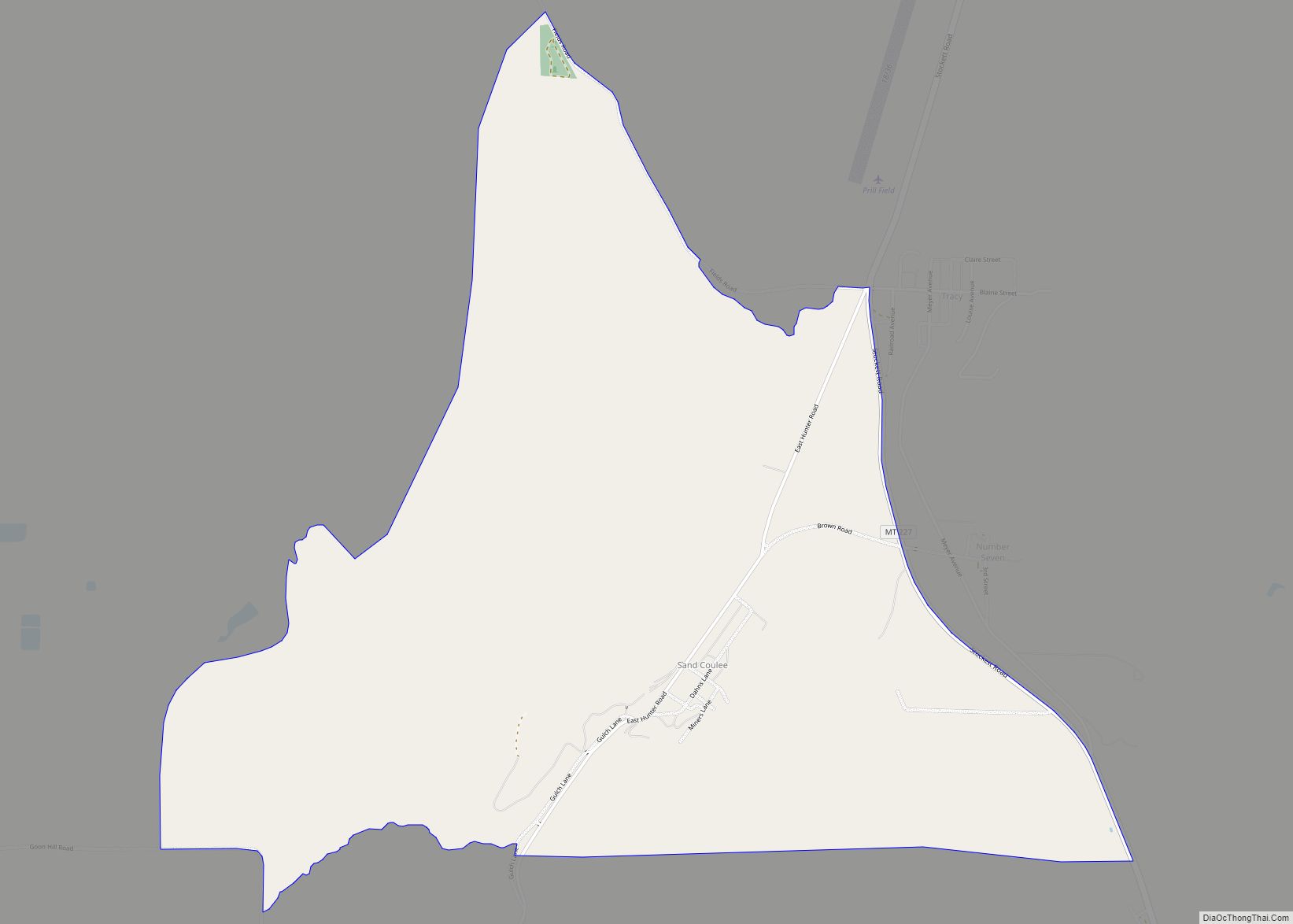
Online Interactive Map
Click on ![]() to view map in "full screen" mode.
to view map in "full screen" mode.
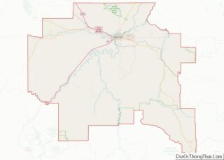
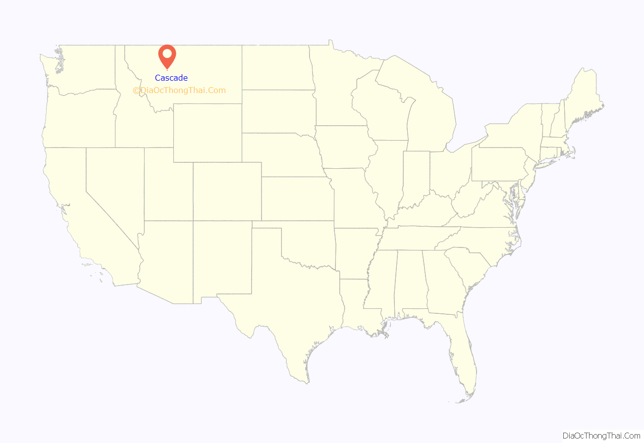
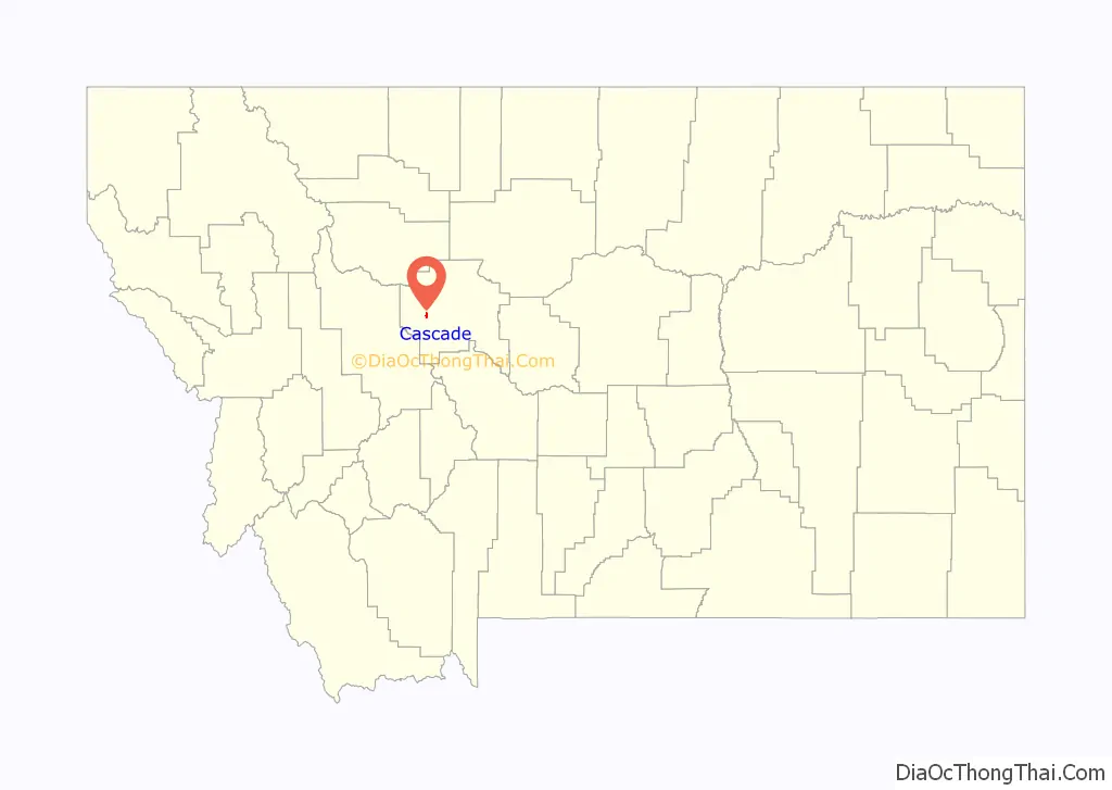
Cascade location map. Where is Cascade town?
History
The founder of the town was Mr. Thomas Graham. Originally named Dodge, the town changed its name in 1887. This was an appeal to become the county seat of the newly formed county.
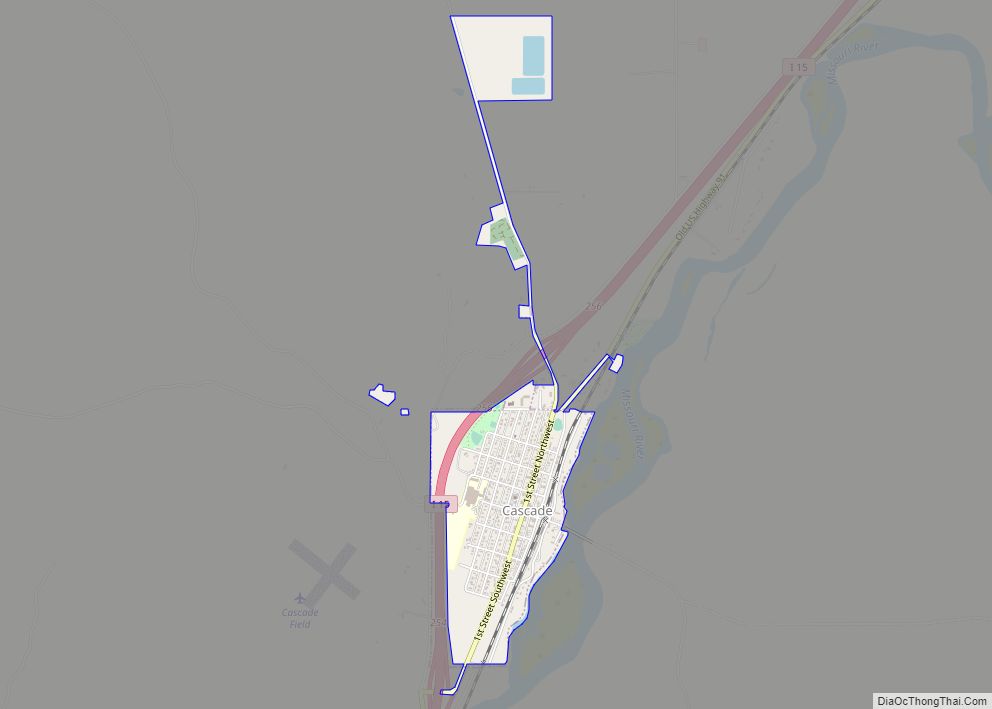
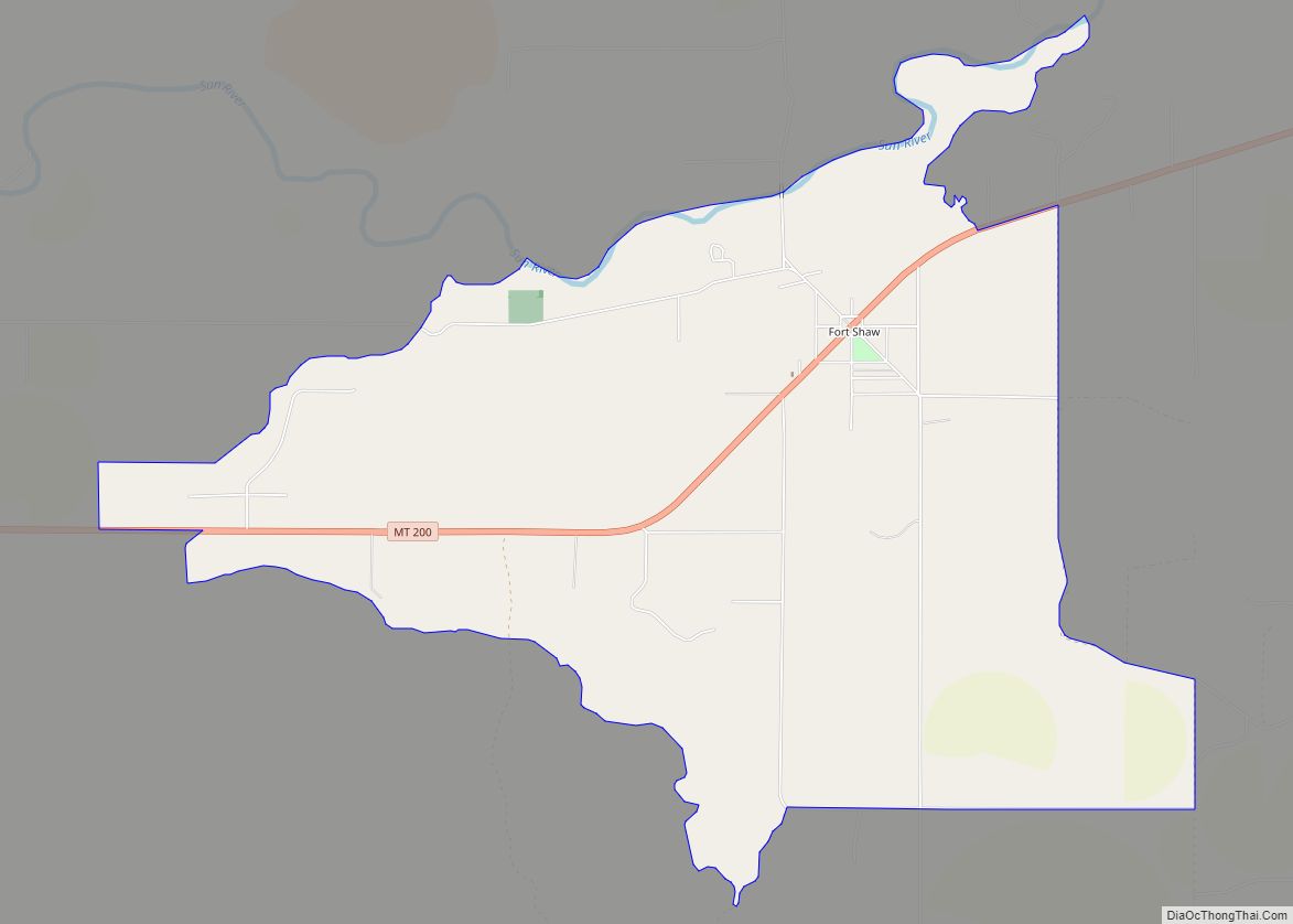
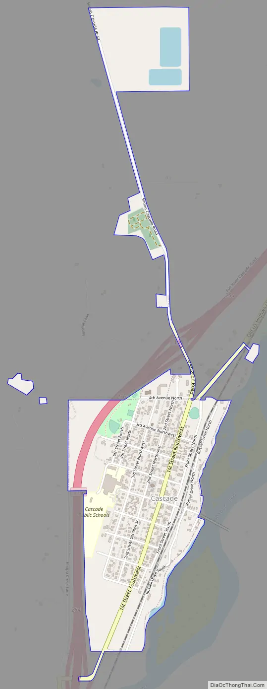
Cascade Road Map
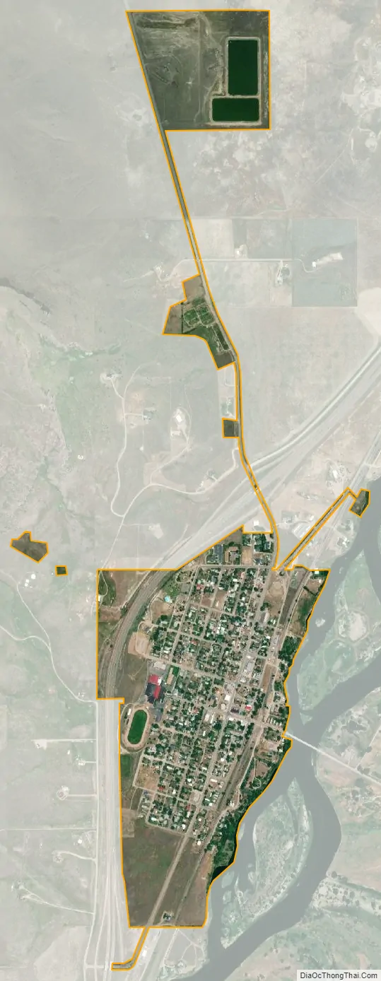
Cascade city Satellite Map
Geography
Cascade is located at 47°16′19″N 111°42′10″W / 47.271954°N 111.702675°W / 47.271954; -111.702675 (47.271954, -111.702675). Interstate 15 passes through the community, with access from Exits 254 and 256. The town is situated along the Missouri River.
According to the United States Census Bureau, the town has a total area of 0.53 square miles (1.37 km), all land.
Climate
According to the Köppen Climate Classification system, Cascade has a semi-arid climate, abbreviated “BSk” on climate maps.
See also
Map of Montana State and its subdivision:- Beaverhead
- Big Horn
- Blaine
- Broadwater
- Carbon
- Carter
- Cascade
- Chouteau
- Custer
- Daniels
- Dawson
- Deer Lodge
- Fallon
- Fergus
- Flathead
- Gallatin
- Garfield
- Glacier
- Golden Valley
- Granite
- Hill
- Jefferson
- Judith Basin
- Lake
- Lewis and Clark
- Liberty
- Lincoln
- Madison
- McCone
- Meagher
- Mineral
- Missoula
- Musselshell
- Park
- Petroleum
- Phillips
- Pondera
- Powder River
- Powell
- Prairie
- Ravalli
- Richland
- Roosevelt
- Rosebud
- Sanders
- Sheridan
- Silver Bow
- Stillwater
- Sweet Grass
- Teton
- Toole
- Treasure
- Valley
- Wheatland
- Wibaux
- Yellowstone
- Alabama
- Alaska
- Arizona
- Arkansas
- California
- Colorado
- Connecticut
- Delaware
- District of Columbia
- Florida
- Georgia
- Hawaii
- Idaho
- Illinois
- Indiana
- Iowa
- Kansas
- Kentucky
- Louisiana
- Maine
- Maryland
- Massachusetts
- Michigan
- Minnesota
- Mississippi
- Missouri
- Montana
- Nebraska
- Nevada
- New Hampshire
- New Jersey
- New Mexico
- New York
- North Carolina
- North Dakota
- Ohio
- Oklahoma
- Oregon
- Pennsylvania
- Rhode Island
- South Carolina
- South Dakota
- Tennessee
- Texas
- Utah
- Vermont
- Virginia
- Washington
- West Virginia
- Wisconsin
- Wyoming