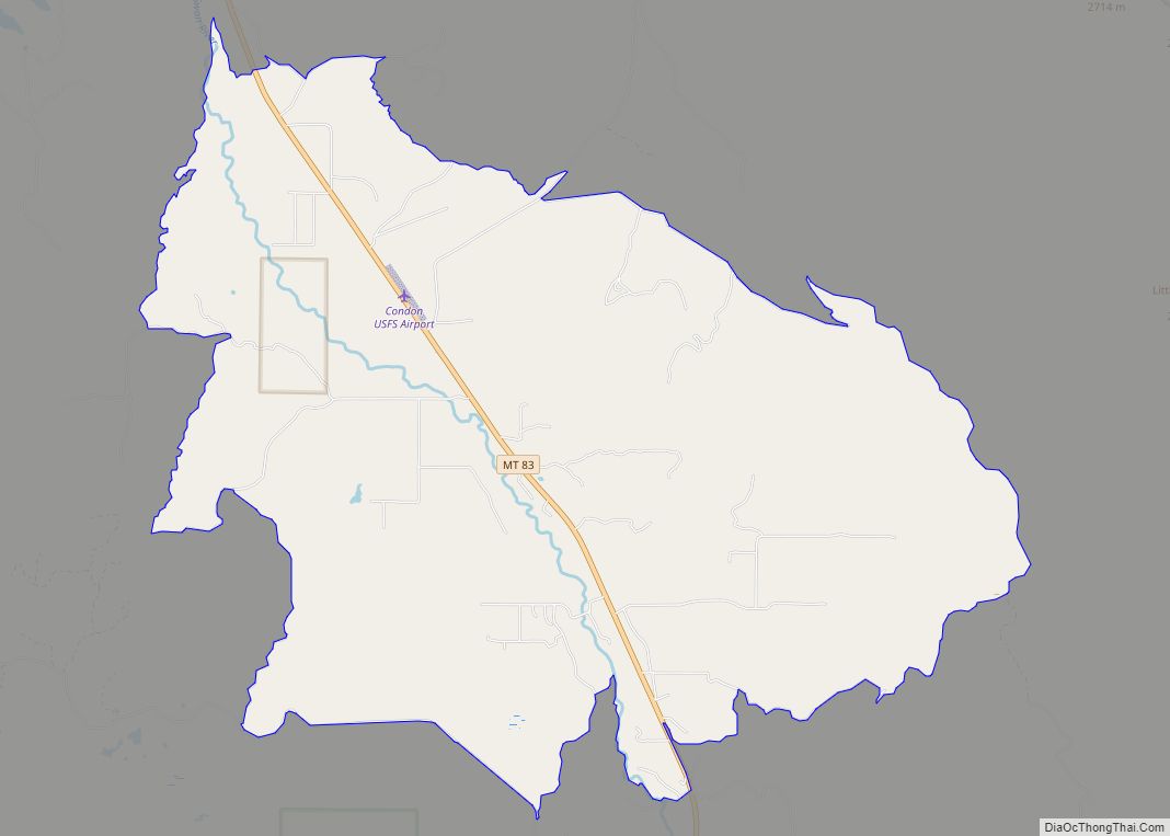
Condon is an unincorporated community and census-designated place in Missoula County, Montana, United States. Located along the Swan River and Montana Highway 83, Condon is situated between the Swan Range to the east and the Mission Mountains to the west, providing ready access to the Bob Marshall Wilderness and Mission Mountains Wilderness, respectively. Its population ... Read more
Montana Cities and Places
Columbus is a town in and the county seat of Stillwater County, Montana, United States. The population was 1,857 at the 2020 census. Columbus town overview: Name: Columbus town LSAD Code: 43 LSAD Description: town (suffix) State: Montana County: Stillwater County Elevation: 3,586 ft (1,093 m) Total Area: 1.37 sq mi (3.55 km²) Land Area: 1.37 sq mi (3.55 km²) Water Area: 0.00 sq mi ... Read more
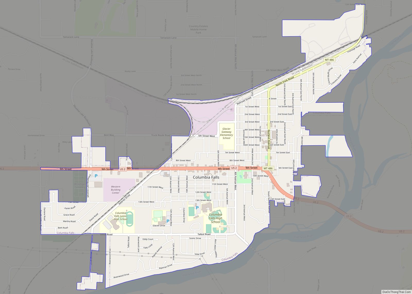
Columbia Falls is a city along the Flathead River in Flathead County, Montana, United States. The population was 5,308 at the 2020 census. Columbia Falls has been ranked as one of the best and safest places to live in Montana. Columbia Falls city overview: Name: Columbia Falls city LSAD Code: 25 LSAD Description: city (suffix) ... Read more
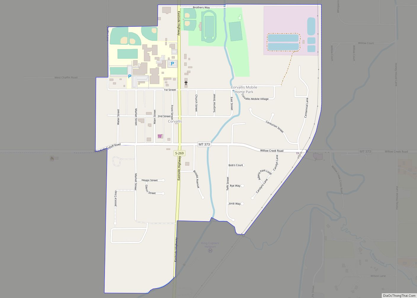
Corvallis (Salish: cƛ̓mƛ̓mqéy) is a census-designated place (CDP) in Ravalli County, Montana, United States. The population was 1,125 at the 2020 census. Corvallis CDP overview: Name: Corvallis CDP LSAD Code: 57 LSAD Description: CDP (suffix) State: Montana County: Ravalli County Elevation: 3,481 ft (1,061 m) Total Area: 0.58 sq mi (1.50 km²) Land Area: 0.58 sq mi (1.49 km²) Water Area: 0.00 sq mi (0.00 km²) ... Read more
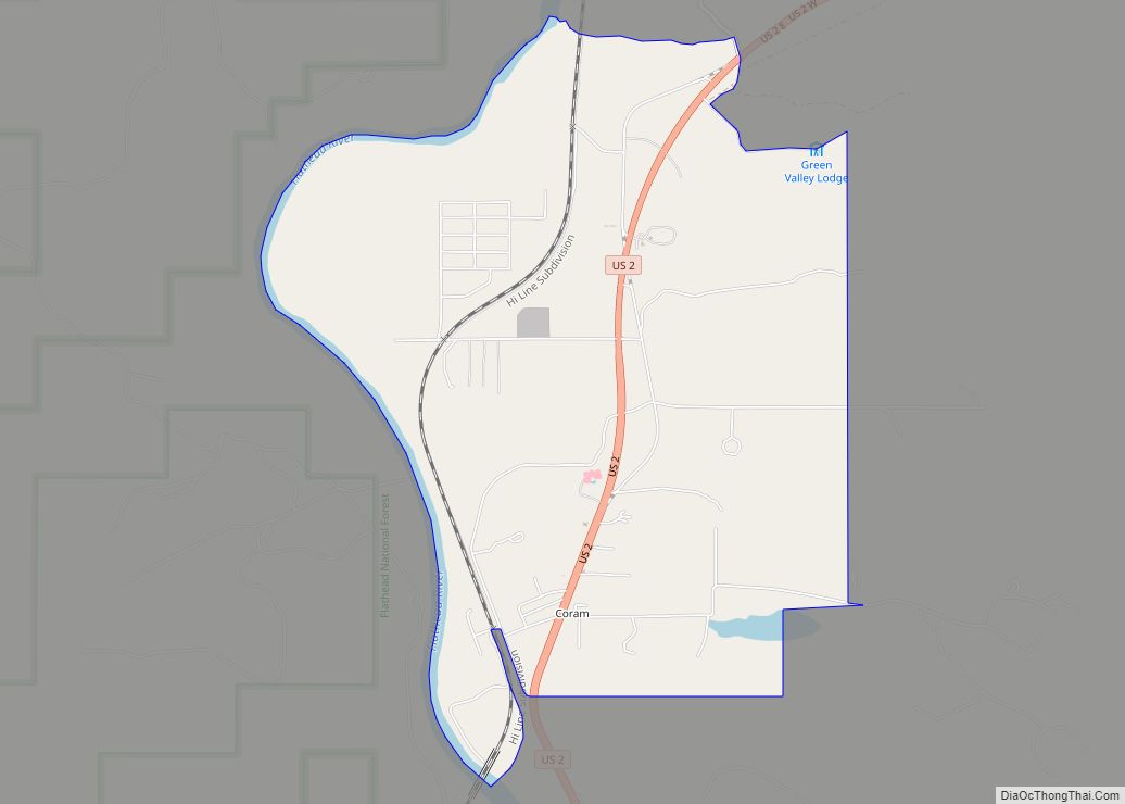
Coram is an unincorporated community and census-designated place (CDP) in Flathead County, Montana, United States. The population was 539 in 2010, up from 337 at the 2000 census. Coram lies 7 miles (11 km) southwest of the western entrance of Glacier National Park. The community was named after William Coram, a lumberman. It began as a ... Read more
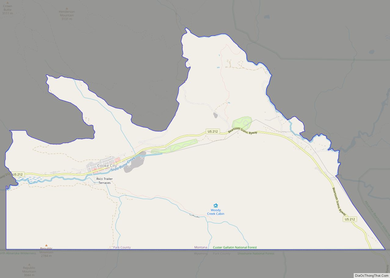
Cooke City is an unincorporated community and census-designated place (CDP) in Park County, Montana, United States. As of the 2020 census, it had a population of 77. Prior to 2010, it was part of the Cooke City-Silver Gate CDP. The community sits northeast of Yellowstone National Park on the Beartooth Highway, which leads east to ... Read more
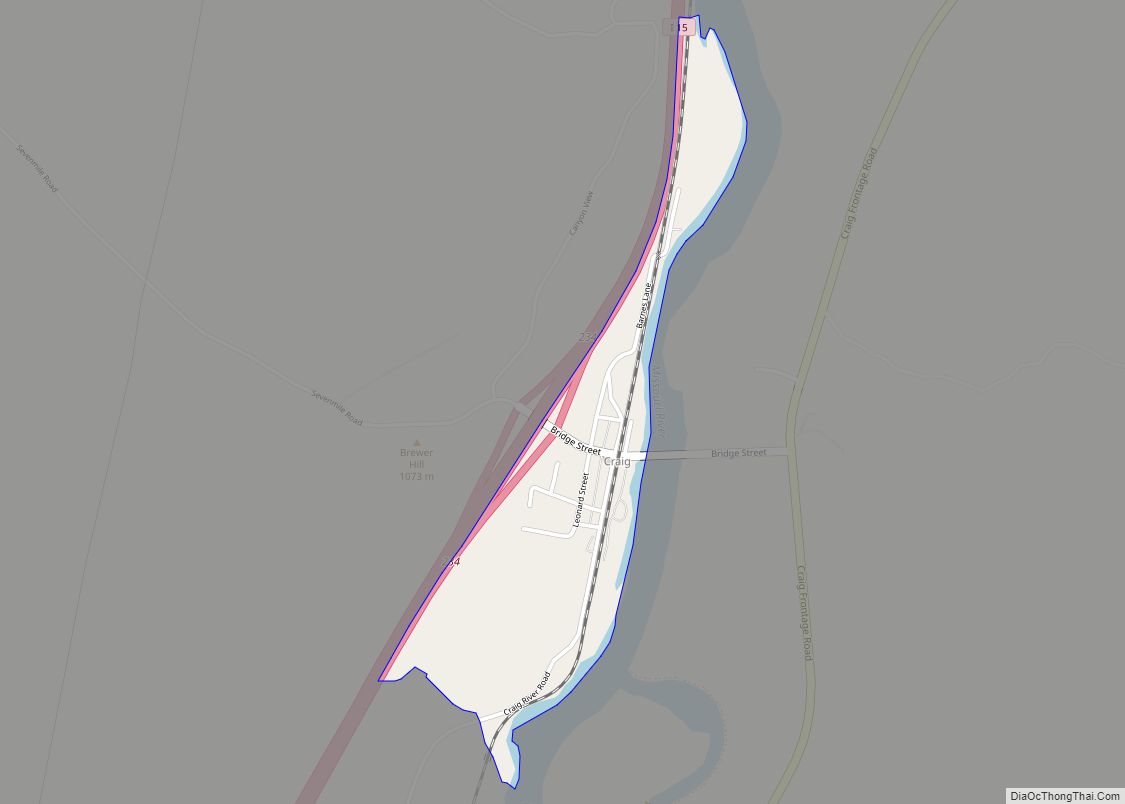
Craig is an unincorporated community and census-designated place (CDP) in Lewis and Clark County, Montana, United States. As of the 2010 census, the population was 43. Craig is located along Interstate 15 on the west side of the Missouri River, 43 miles (69 km) north of Helena, the state capital, and 47 miles (76 km) southwest of ... Read more
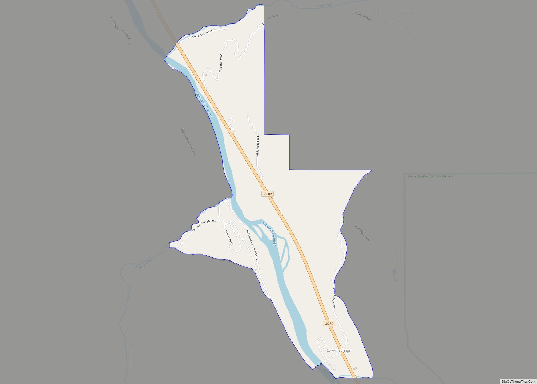
Corwin Springs is an unincorporated community in Park County, Montana, United States. Its population was 109 as of the 2010 census. For statistical purposes, the United States Census Bureau has defined Saticoy as a census-designated place (CDP). Corwin Springs CDP overview: Name: Corwin Springs CDP LSAD Code: 57 LSAD Description: CDP (suffix) State: Montana County: ... Read more
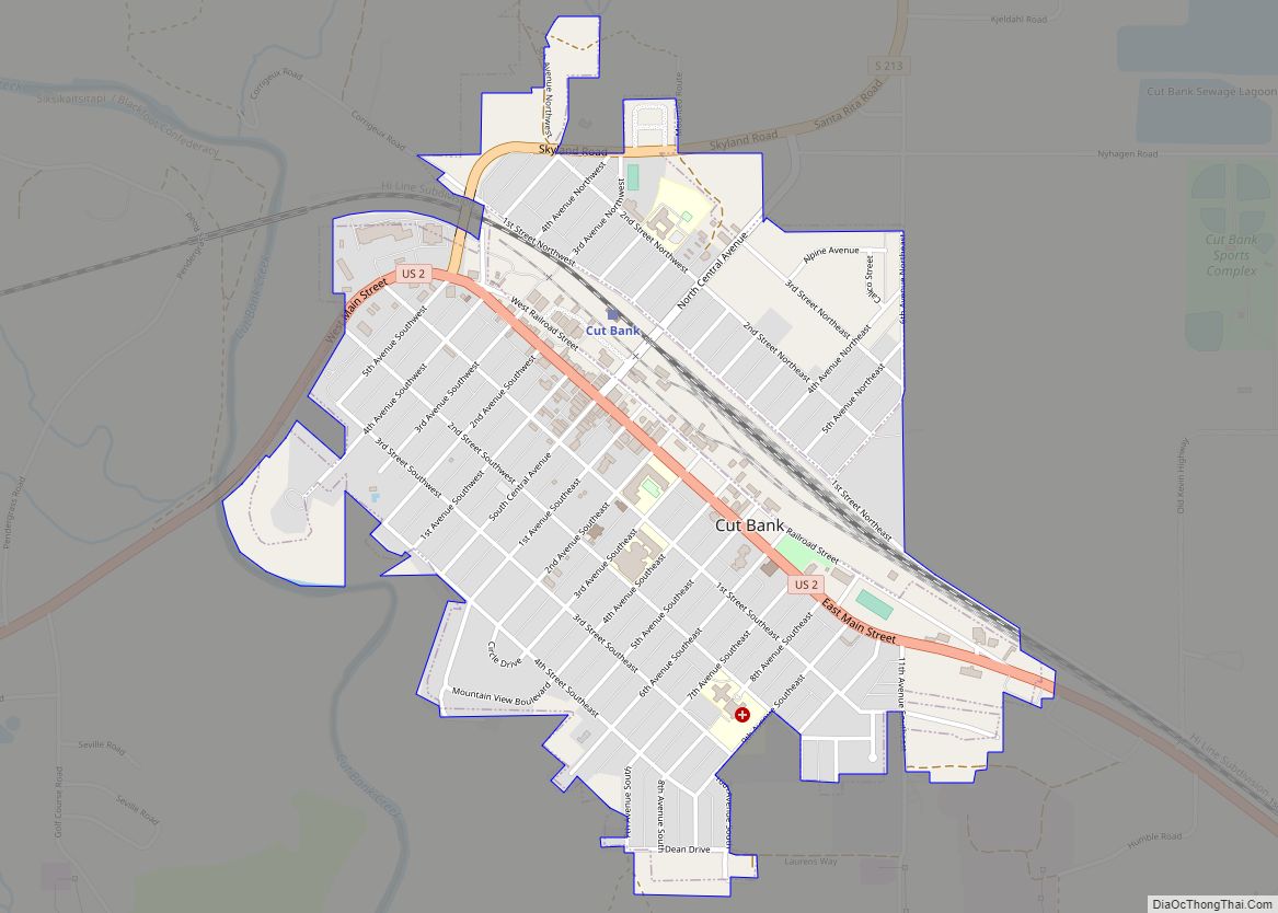
Cut Bank is a city in and the county seat of Glacier County, Montana, United States, located just east of the “cut bank” (gorge) along Cut Bank Creek. The population was 3,056 at the 2020 census, The town began in 1891 with the arrival of the Great Northern Railway. Cut Bank city overview: Name: Cut ... Read more
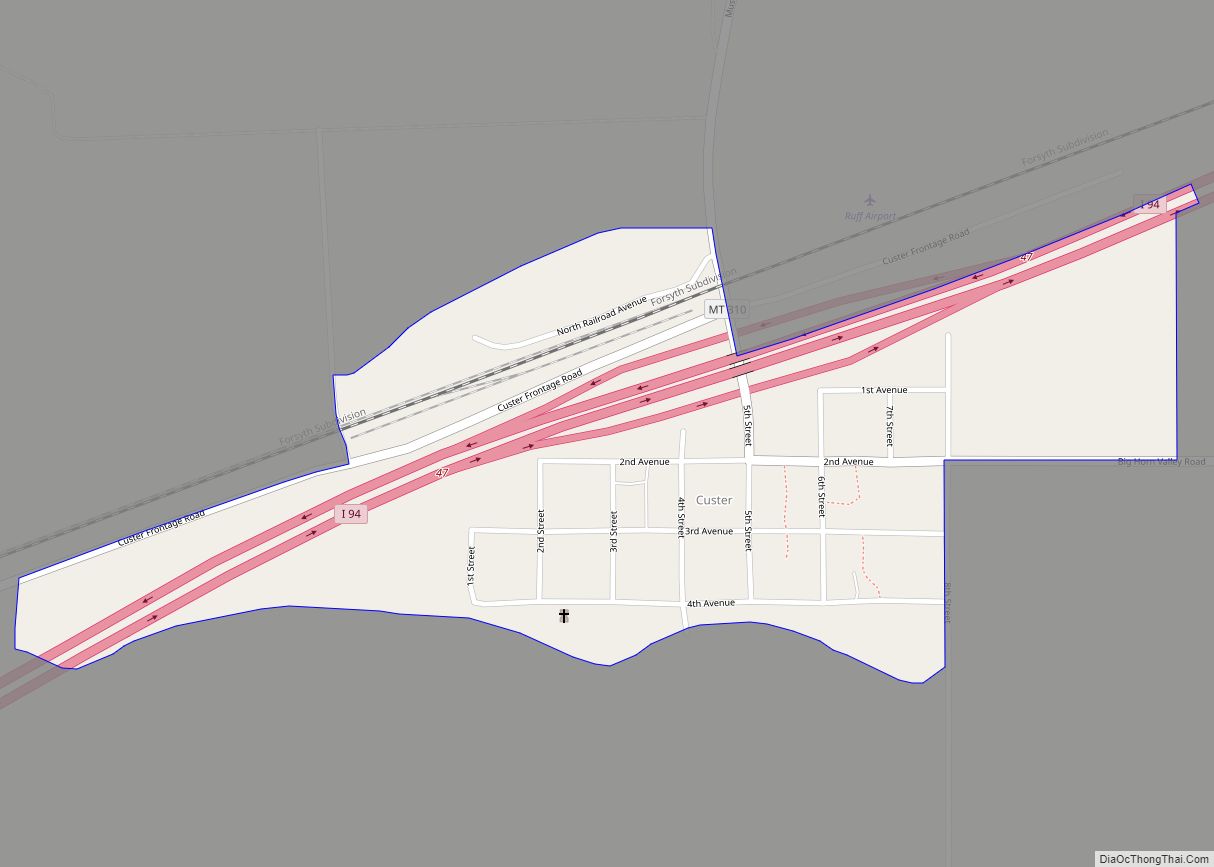
Custer is a village in Yellowstone County, Montana, United States. The population was 145 at the 2000 census. This community bears the name of U.S. Army General George Armstrong Custer who was defeated and killed at the Battle of Little Big Horn, which took place nearby in 1876. Originally a Northern Pacific Railroad station established ... Read more
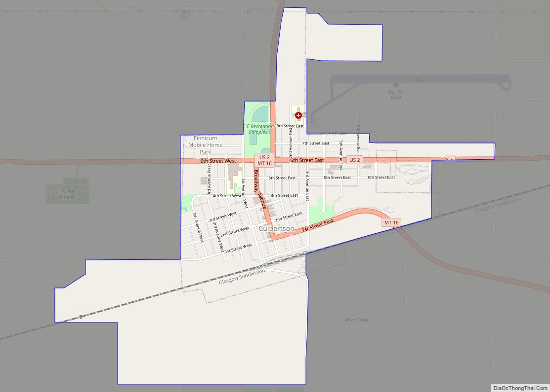
Culbertson is a town in Roosevelt County, Montana, United States. The population was 753 at the 2020 census. Culbertson town overview: Name: Culbertson town LSAD Code: 43 LSAD Description: town (suffix) State: Montana County: Roosevelt County Elevation: 1,932 ft (589 m) Total Area: 1.02 sq mi (2.65 km²) Land Area: 1.02 sq mi (2.65 km²) Water Area: 0.00 sq mi (0.00 km²) Total Population: 753 Population ... Read more
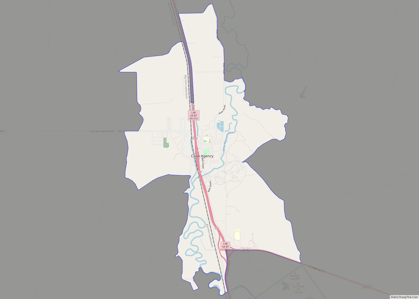
Crow Agency (Crow: awaasúuchia) is a census-designated place (CDP) in Big Horn County, Montana, United States and is near the actual location for the Little Bighorn National Monument and re-enactment produced by the Real Bird family known as Battle of the Little Bighorn Reenactment. The population was 1,616 at the 2010 census. It is the ... Read more
