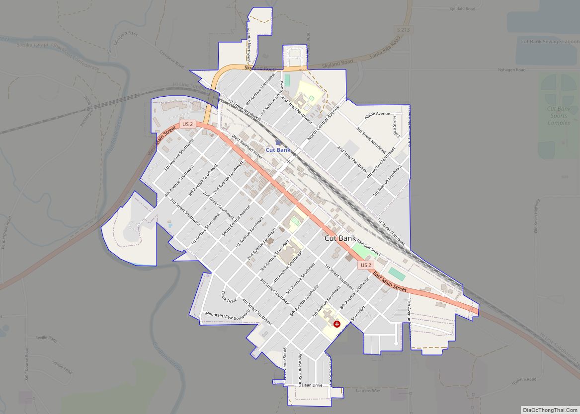
Cut Bank is a city in and the county seat of Glacier County, Montana, United States, located just east of the “cut bank” (gorge) along Cut Bank Creek. The population was 3,056 at the 2020 census, The town began in 1891 with the arrival of the Great Northern Railway.
| Name: | Cut Bank city |
|---|---|
| LSAD Code: | 25 |
| LSAD Description: | city (suffix) |
| State: | Montana |
| County: | Glacier County |
| Elevation: | 3,773 ft (1,150 m) |
| Total Area: | 1.16 sq mi (3.01 km²) |
| Land Area: | 1.16 sq mi (3.00 km²) |
| Water Area: | 0.00 sq mi (0.01 km²) |
| Total Population: | 3,056 |
| Population Density: | 2,641.31/sq mi (1,020.07/km²) |
| ZIP code: | 59427 |
| Area code: | 406 |
| FIPS code: | 3018775 |
| GNISfeature ID: | 0770395 |
| Website: | cityofcutbank.org |
Online Interactive Map
Click on ![]() to view map in "full screen" mode.
to view map in "full screen" mode.
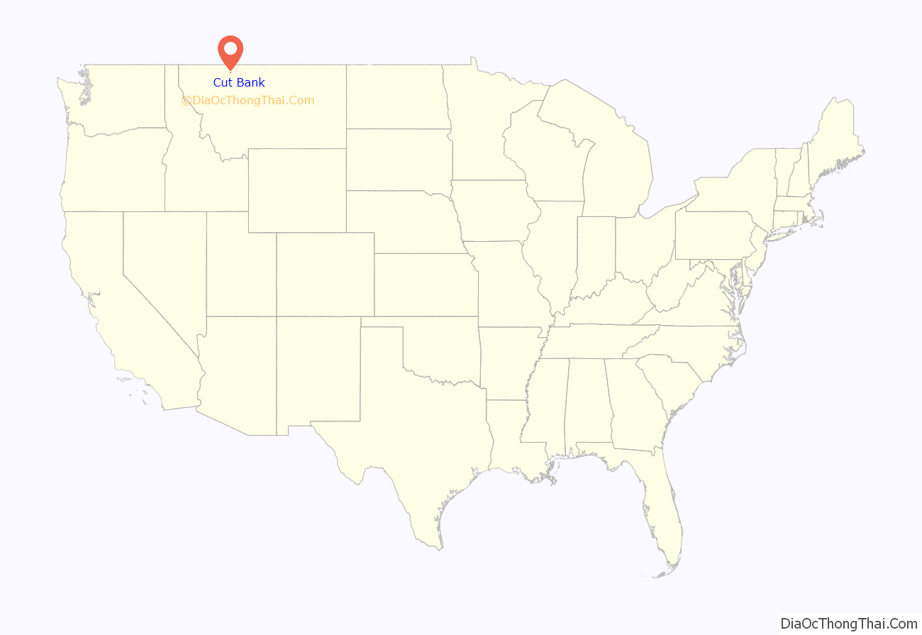
Cut Bank location map. Where is Cut Bank city?
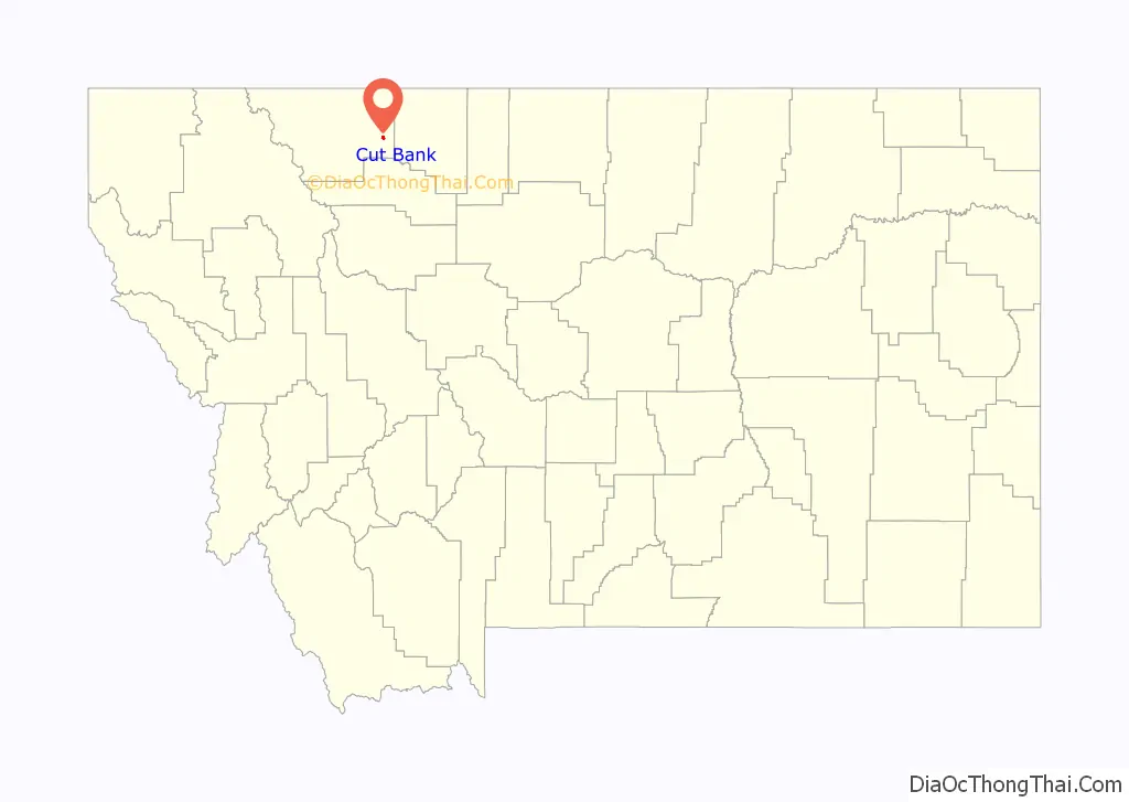
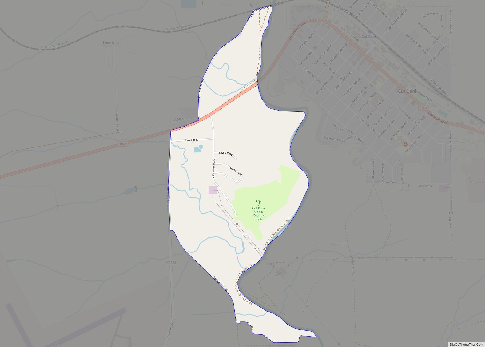
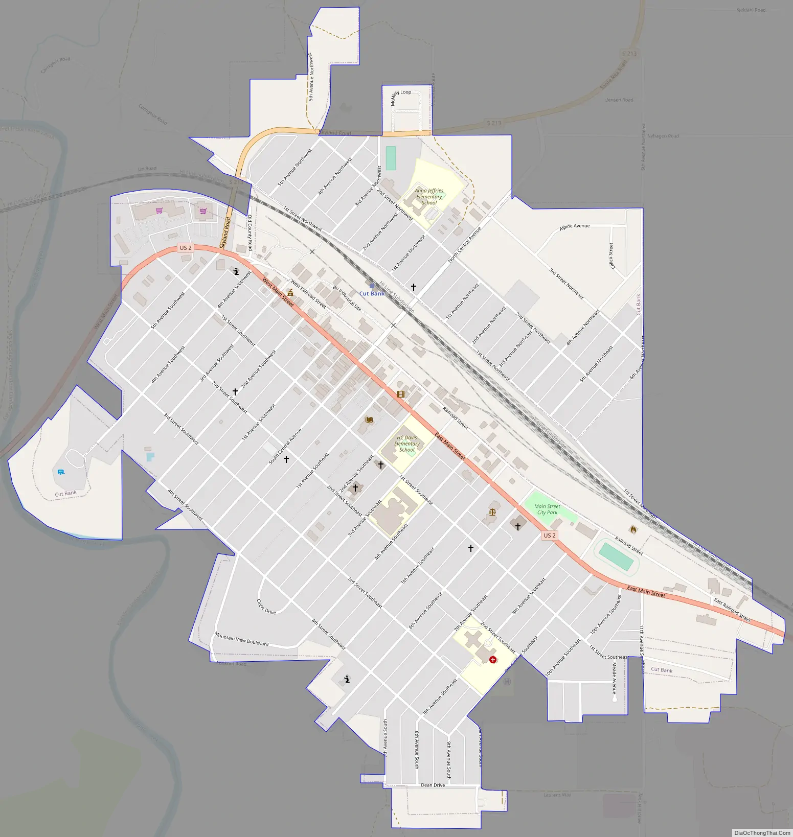
Cut Bank Road Map
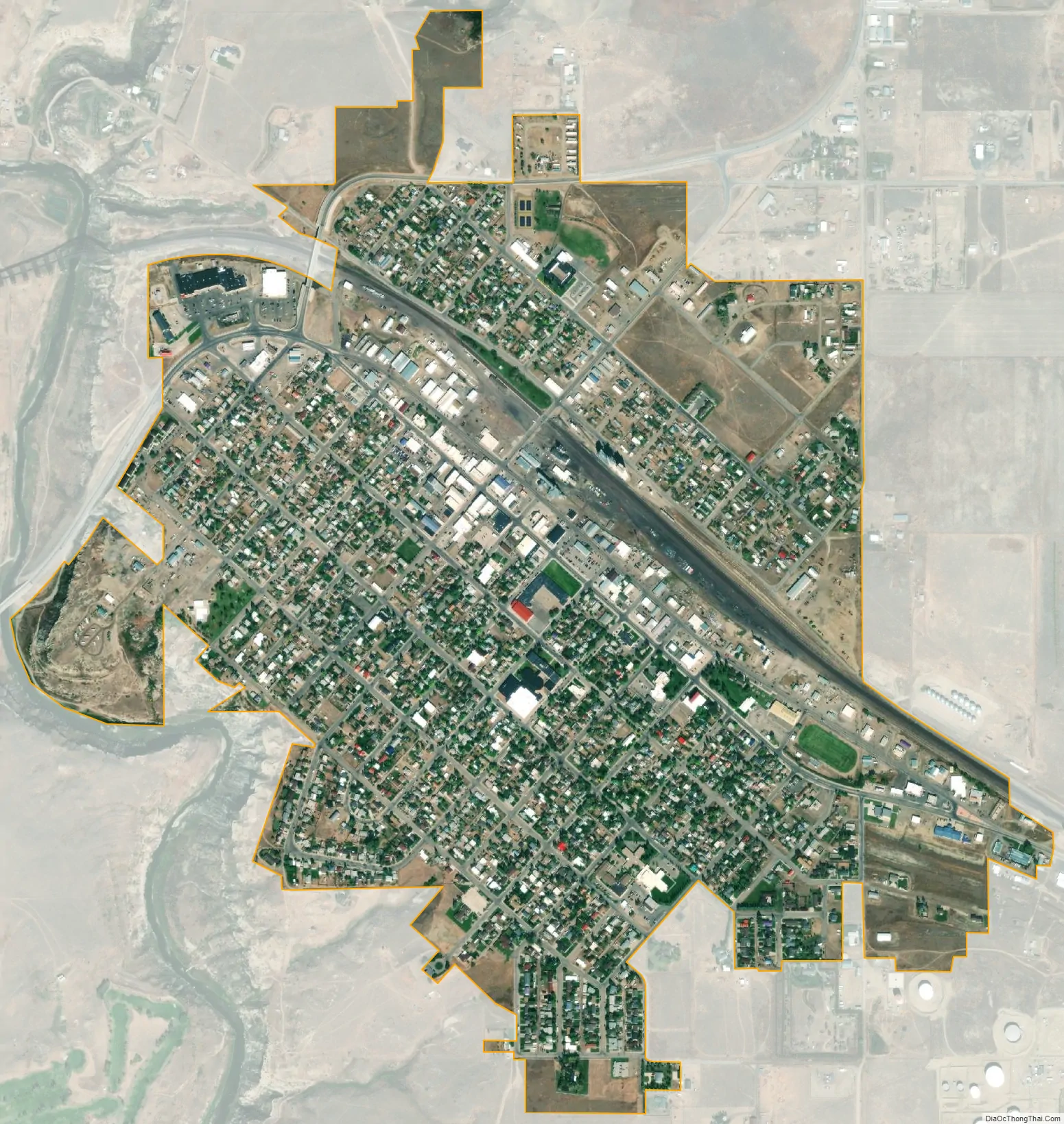
Cut Bank city Satellite Map
Geography
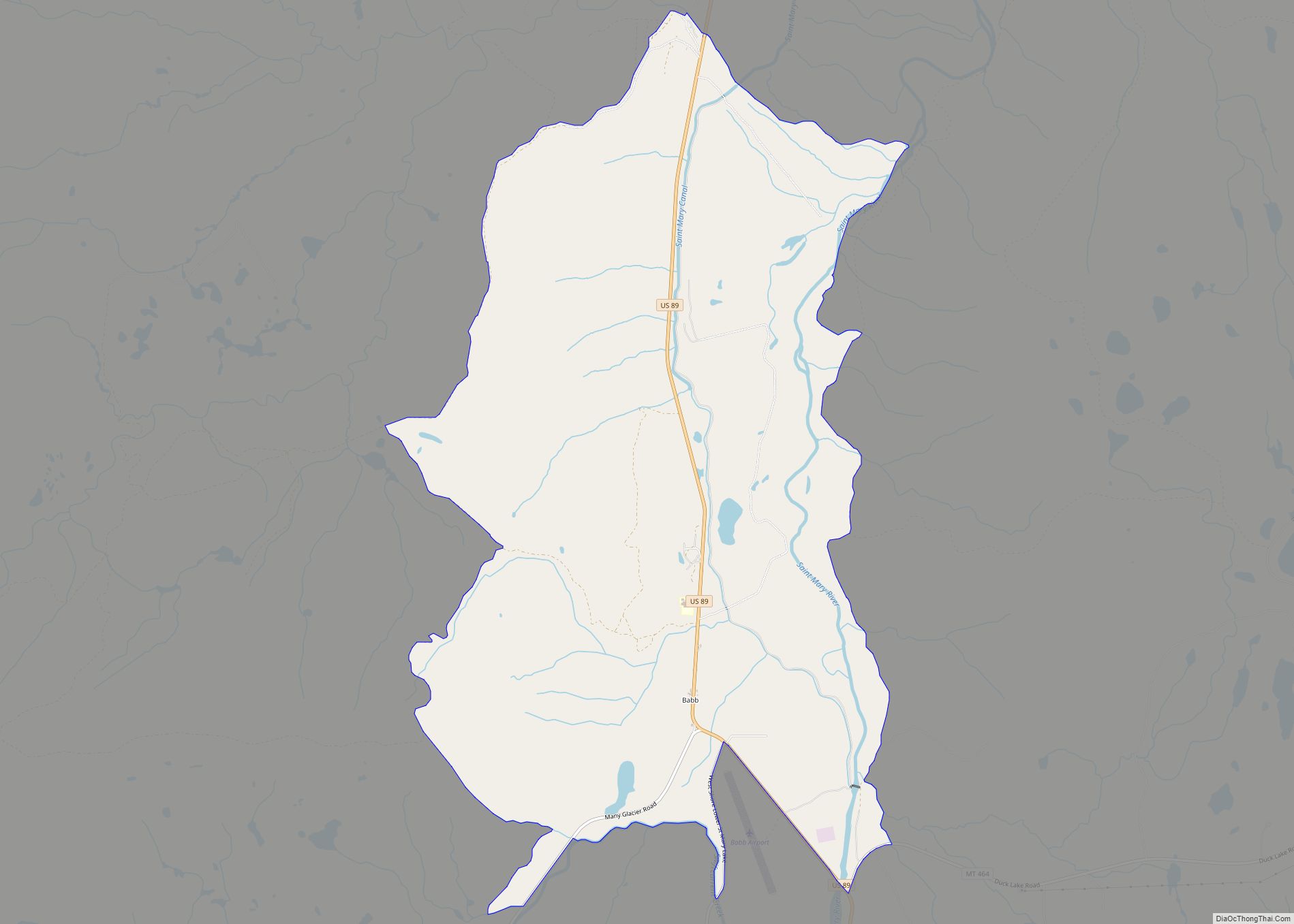
Cut Bank is located in eastern Glacier County at 48°38′5″N 112°19′52″W / 48.63472°N 112.33111°W / 48.63472; -112.33111 (48.634801, −112.331090). U.S. Route 2 passes through the city as Main Street, leading east 22 miles (35 km) to Interstate 15 at Shelby and west 34 miles (55 km) to Browning. The Blackfeet Indian Reservation is located just west of Cut Bank, on the western side of Cut Bank Creek.
According to the United States Census Bureau, the city has a total area of 0.99 square miles (2.56 km), all land.
The city is located 30 miles (48 km) south of the Canada–United States border. The name of the city comes from the cut bank (gorge) — a scenic hazard to navigation and a geologic feature of the same name. The Cut Bank Creek river is spanned cliffs to cliffs by a scenic elevated railway bridge high above the canyon floor less than a mile from the edge of the town.
See also
Map of Montana State and its subdivision:- Beaverhead
- Big Horn
- Blaine
- Broadwater
- Carbon
- Carter
- Cascade
- Chouteau
- Custer
- Daniels
- Dawson
- Deer Lodge
- Fallon
- Fergus
- Flathead
- Gallatin
- Garfield
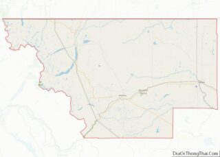
- Glacier
- Golden Valley
- Granite
- Hill
- Jefferson
- Judith Basin
- Lake
- Lewis and Clark
- Liberty
- Lincoln
- Madison
- McCone
- Meagher
- Mineral
- Missoula
- Musselshell
- Park
- Petroleum
- Phillips
- Pondera
- Powder River
- Powell
- Prairie
- Ravalli
- Richland
- Roosevelt
- Rosebud
- Sanders
- Sheridan
- Silver Bow
- Stillwater
- Sweet Grass
- Teton
- Toole
- Treasure
- Valley
- Wheatland
- Wibaux
- Yellowstone
- Alabama
- Alaska
- Arizona
- Arkansas
- California
- Colorado
- Connecticut
- Delaware
- District of Columbia
- Florida
- Georgia
- Hawaii
- Idaho
- Illinois
- Indiana
- Iowa
- Kansas
- Kentucky
- Louisiana
- Maine
- Maryland
- Massachusetts
- Michigan
- Minnesota
- Mississippi
- Missouri
- Montana
- Nebraska
- Nevada
- New Hampshire
- New Jersey
- New Mexico
- New York
- North Carolina
- North Dakota
- Ohio
- Oklahoma
- Oregon
- Pennsylvania
- Rhode Island
- South Carolina
- South Dakota
- Tennessee
- Texas
- Utah
- Vermont
- Virginia
- Washington
- West Virginia
- Wisconsin
- Wyoming