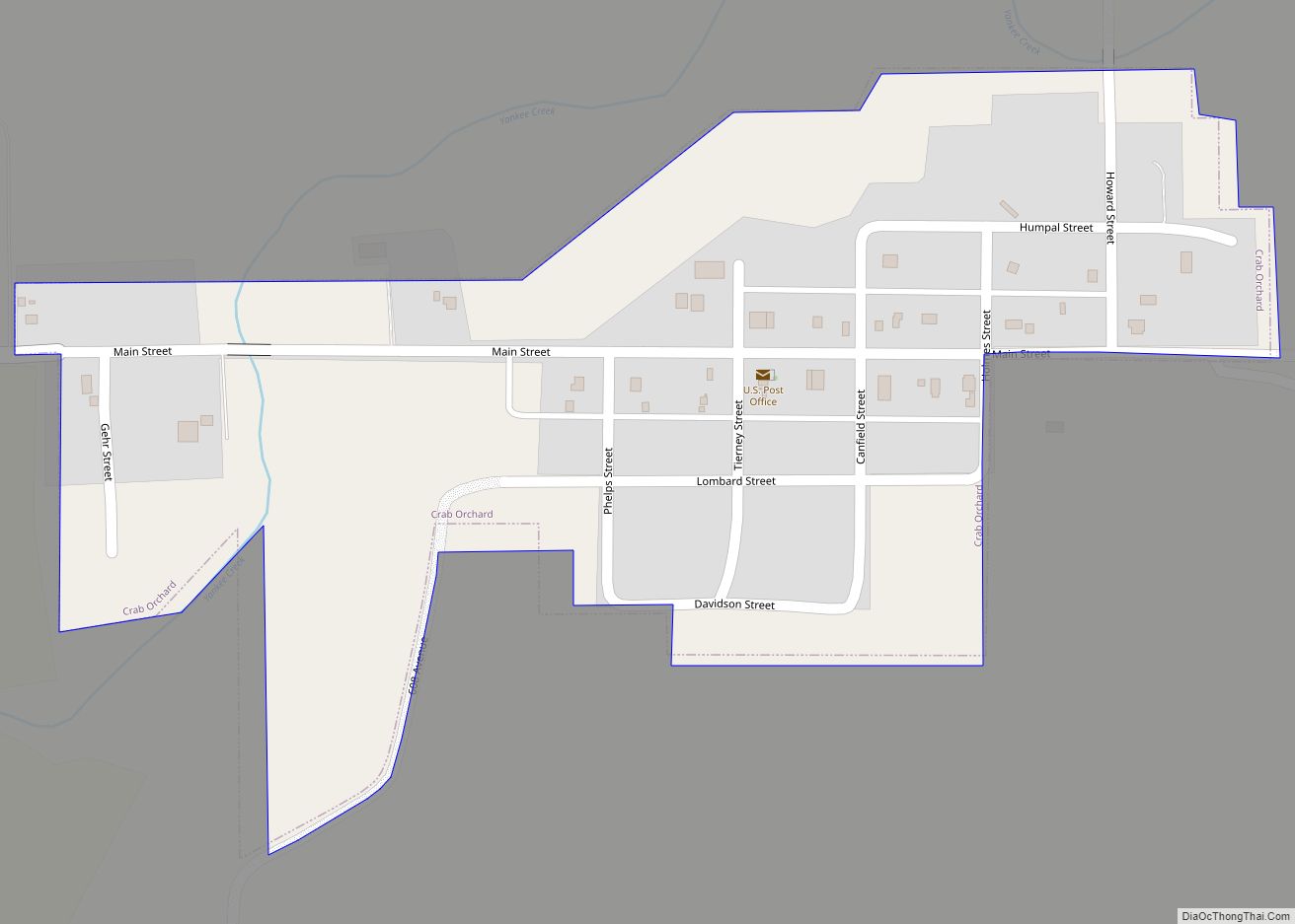
Crab Orchard is a village in Johnson County, Nebraska, United States. As of the 2020 census, the village population was 47. Crab Orchard village overview: Name: Crab Orchard village LSAD Code: 47 LSAD Description: village (suffix) State: Nebraska County: Johnson County Elevation: 1,283 ft (391 m) Total Area: 0.16 sq mi (0.41 km²) Land Area: 0.16 sq mi (0.41 km²) Water Area: 0.00 sq mi ... Read more
Nebraska Cities and Places
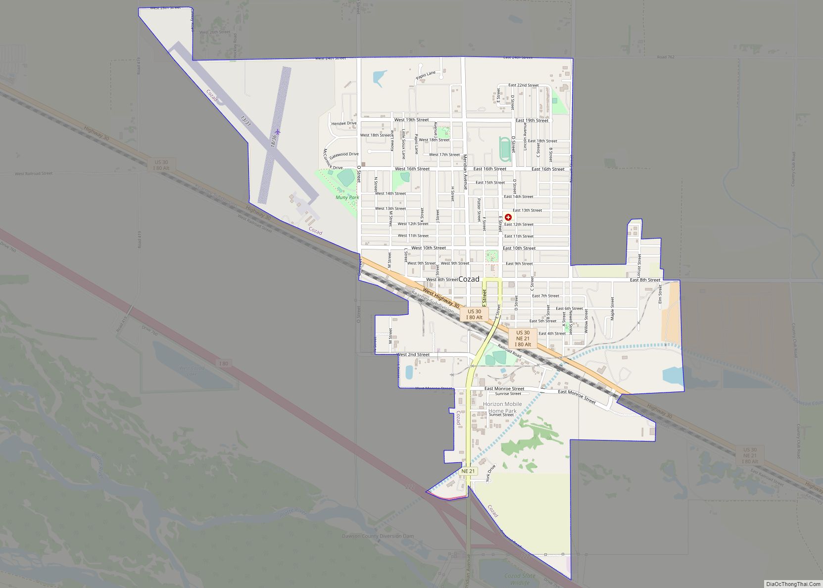
Cozad is a city in Dawson County, Nebraska, United States. The population was 3,977 at the 2010 census. The town is on the Great Plains of central Nebraska, along the Union Pacific Railroad and U.S. Route 30, just north of the Platte River. The 100th meridian, which roughly marks the eastward boundary of the arid ... Read more
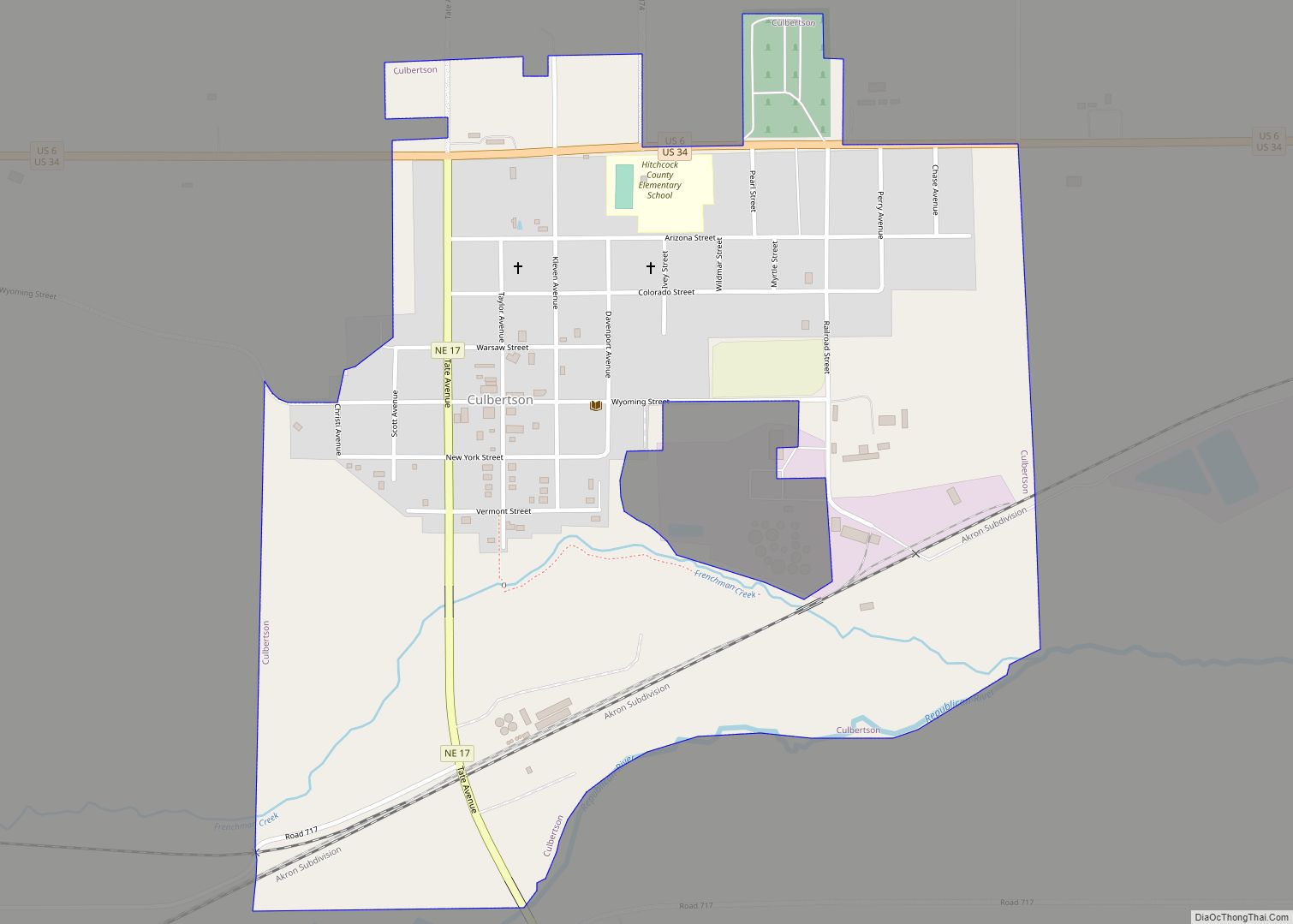
Culbertson is a village in Hitchcock County, Nebraska, United States. The population was 534 at the 2020 census. Culbertson village overview: Name: Culbertson village LSAD Code: 47 LSAD Description: village (suffix) State: Nebraska County: Hitchcock County Elevation: 2,605 ft (794 m) Total Area: 0.84 sq mi (2.17 km²) Land Area: 0.84 sq mi (2.17 km²) Water Area: 0.00 sq mi (0.00 km²) Total Population: 534 Population ... Read more
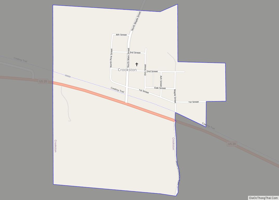
Crookston is a village in Cherry County, Nebraska, United States. The population was 69 at the 2010 census. Crookston village overview: Name: Crookston village LSAD Code: 47 LSAD Description: village (suffix) State: Nebraska County: Cherry County Elevation: 2,697 ft (822 m) Total Area: 0.43 sq mi (1.13 km²) Land Area: 0.43 sq mi (1.13 km²) Water Area: 0.00 sq mi (0.00 km²) Total Population: 71 Population ... Read more
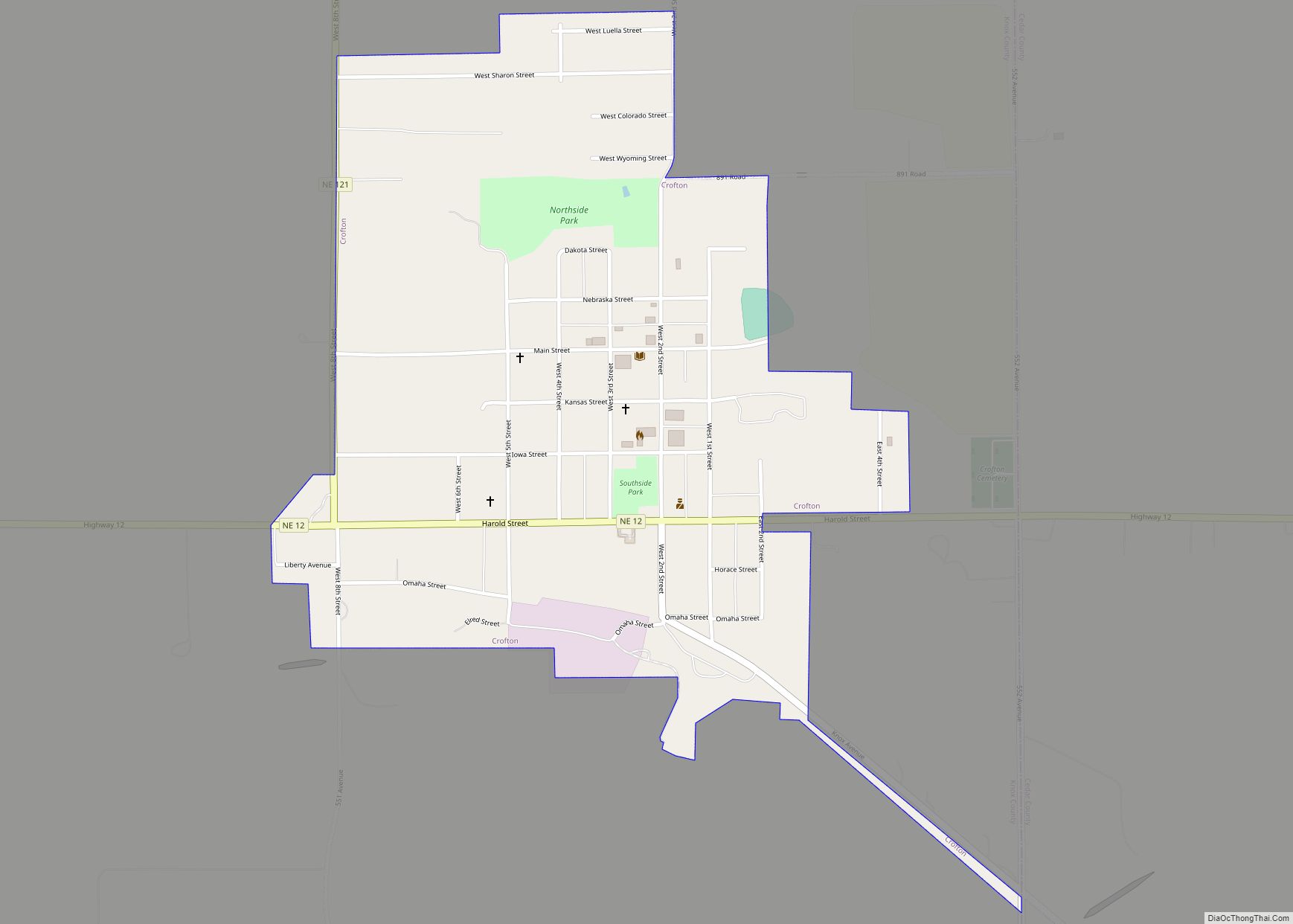
Crofton is a city in Knox County, Nebraska, United States. The population was 726 at the 2010 census. Crofton city overview: Name: Crofton city LSAD Code: 25 LSAD Description: city (suffix) State: Nebraska County: Knox County Elevation: 1,421 ft (433 m) Total Area: 0.64 sq mi (1.66 km²) Land Area: 0.64 sq mi (1.66 km²) Water Area: 0.00 sq mi (0.00 km²) Total Population: 756 Population ... Read more
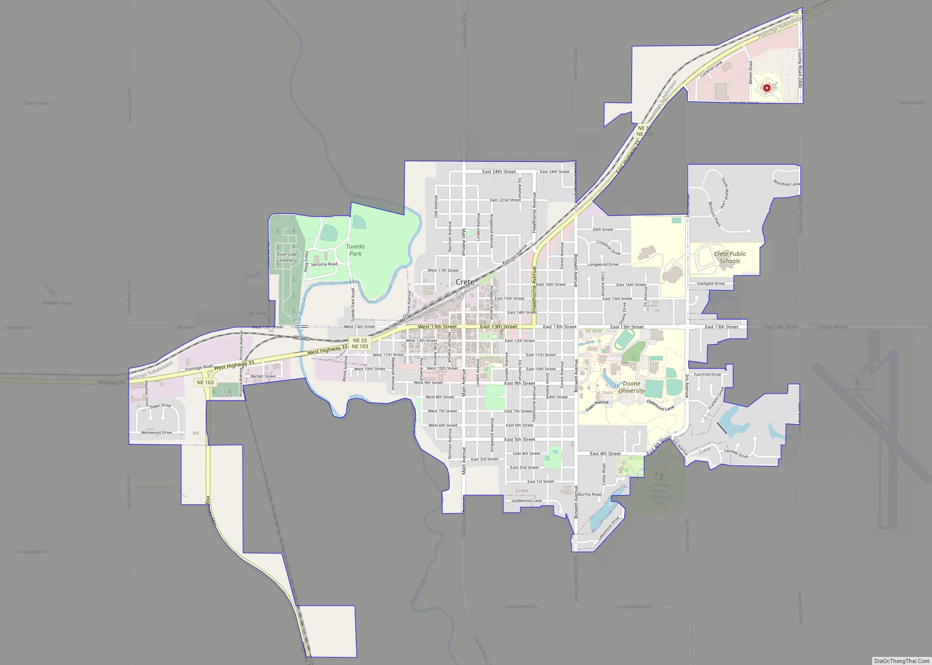
Crete is a city in Saline County, Nebraska, United States. The population was 7,099 at the 2020 census. Crete city overview: Name: Crete city LSAD Code: 25 LSAD Description: city (suffix) State: Nebraska County: Saline County Elevation: 1,352 ft (412 m) Total Area: 3.85 sq mi (9.97 km²) Land Area: 3.80 sq mi (9.84 km²) Water Area: 0.05 sq mi (0.13 km²) Total Population: 7,099 Population ... Read more
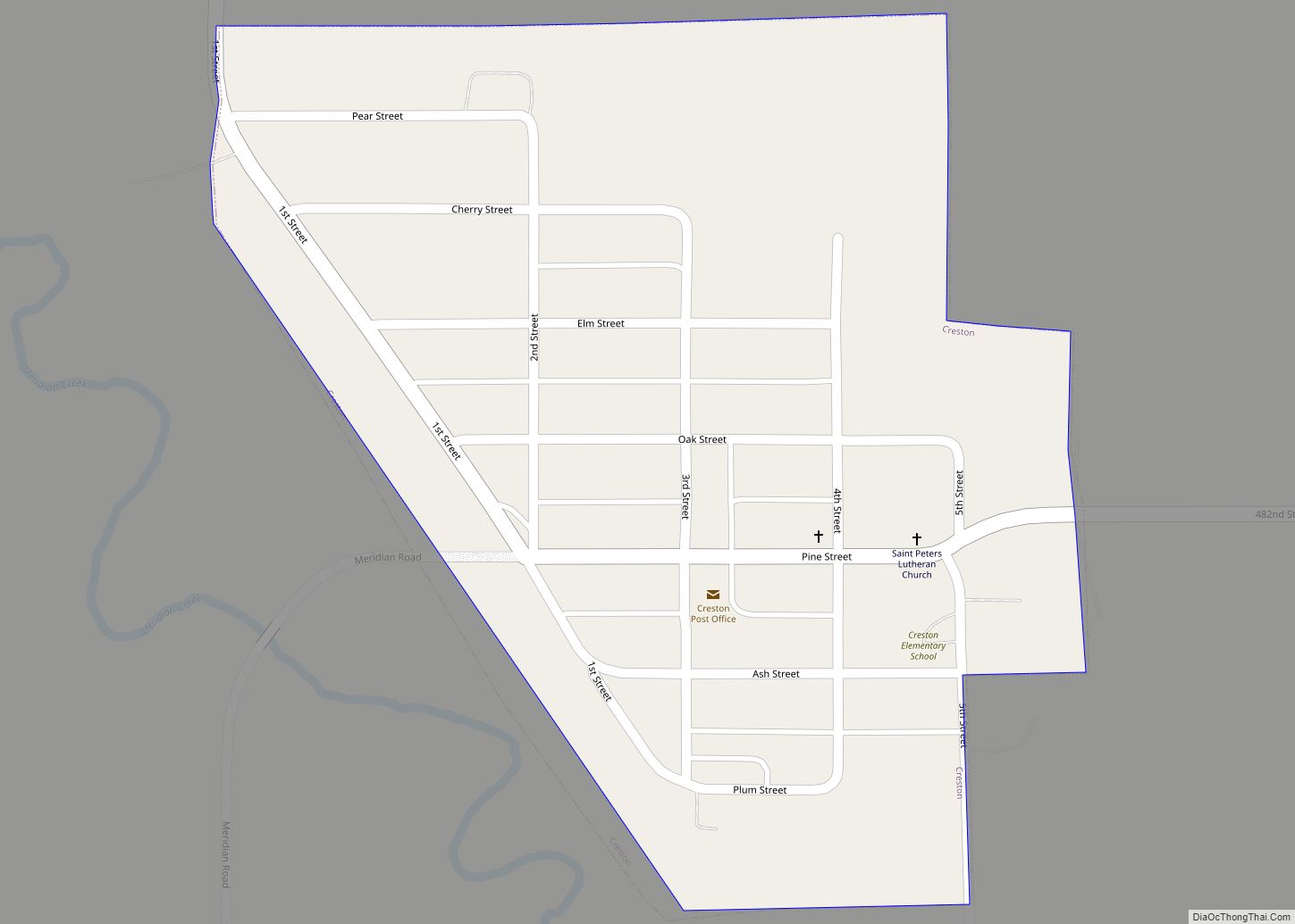
Creston is a village in Platte County, Nebraska, United States. The population was 203 at the 2010 census. Creston village overview: Name: Creston village LSAD Code: 47 LSAD Description: village (suffix) State: Nebraska County: Platte County Elevation: 1,624 ft (495 m) Total Area: 0.21 sq mi (0.54 km²) Land Area: 0.21 sq mi (0.54 km²) Water Area: 0.00 sq mi (0.00 km²) Total Population: 181 Population ... Read more
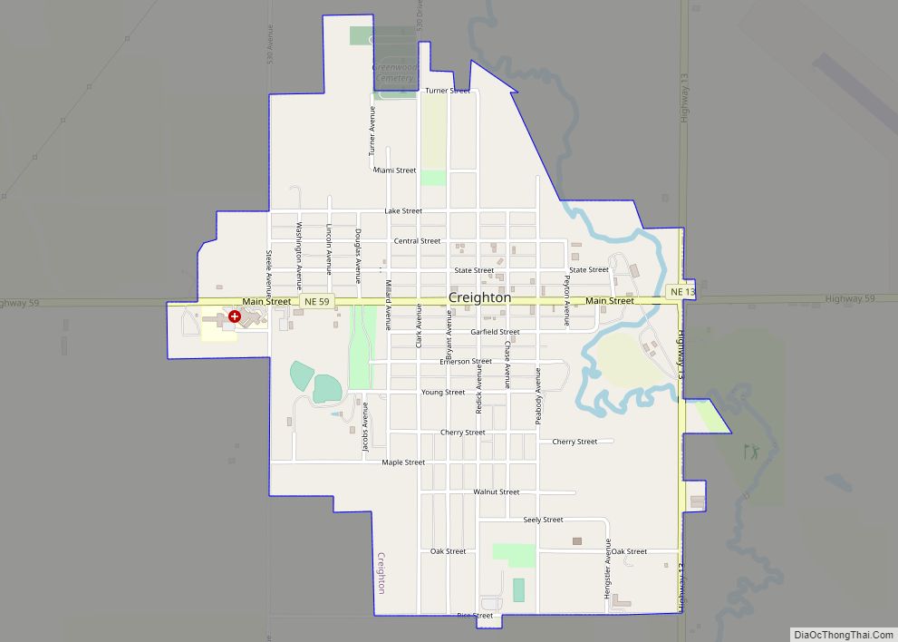
Creighton is a city in Knox County, Nebraska, United States. The population was 1,154 at the 2010 census. Creighton city overview: Name: Creighton city LSAD Code: 25 LSAD Description: city (suffix) State: Nebraska County: Knox County Elevation: 1,640 ft (500 m) Total Area: 1.21 sq mi (3.13 km²) Land Area: 1.21 sq mi (3.13 km²) Water Area: 0.00 sq mi (0.00 km²) Total Population: 1,147 Population ... Read more
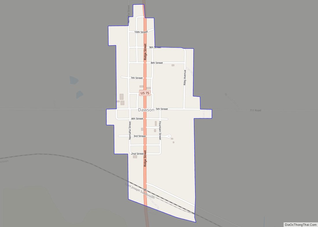
Dawson is a village in Richardson County, Nebraska, United States. The population was 148 at the 2020 census. Dawson village overview: Name: Dawson village LSAD Code: 47 LSAD Description: village (suffix) State: Nebraska County: Richardson County Elevation: 968 ft (295 m) Total Area: 0.21 sq mi (0.56 km²) Land Area: 0.21 sq mi (0.55 km²) Water Area: 0.00 sq mi (0.00 km²) Total Population: 148 Population ... Read more
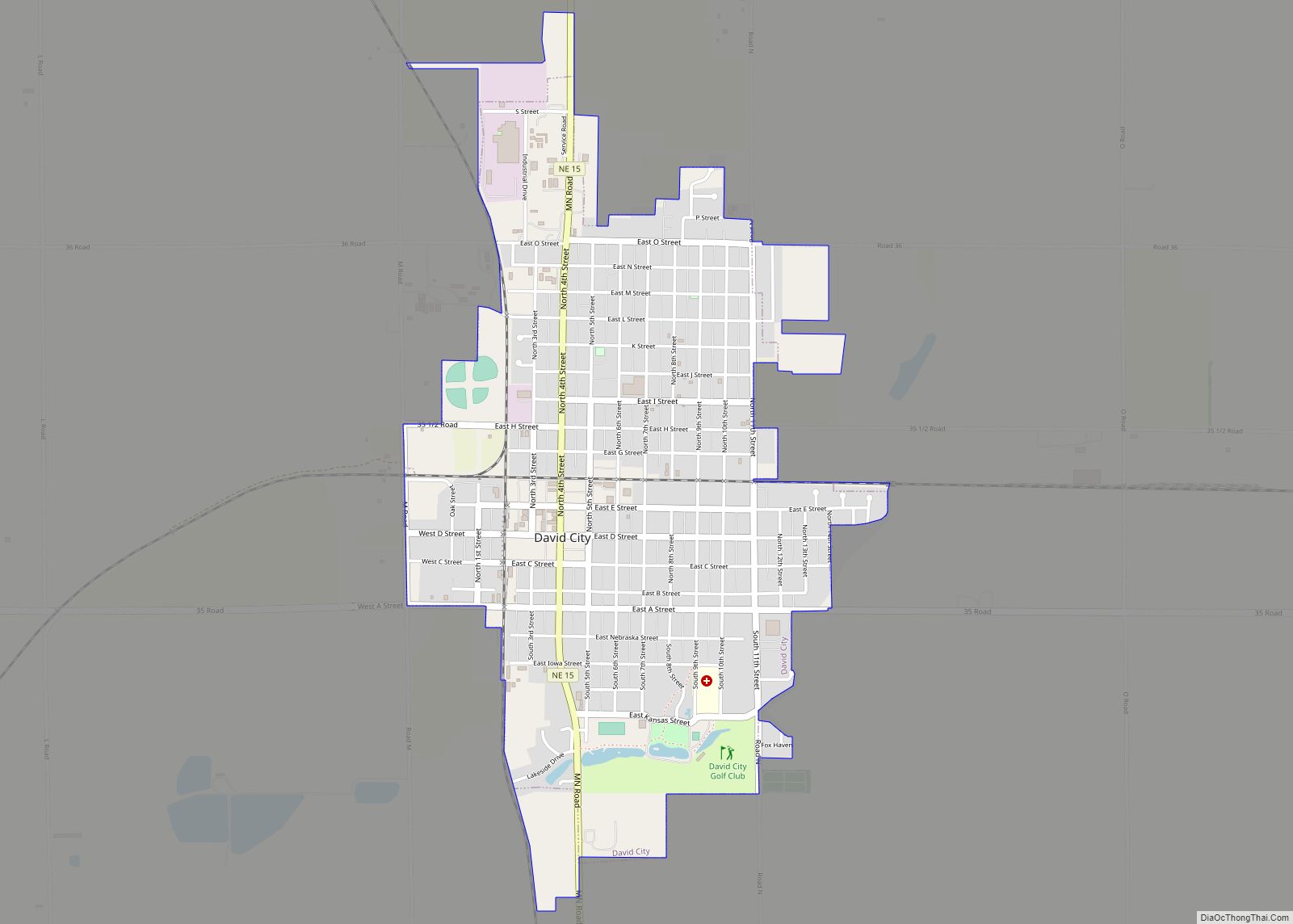
David City is a city in Butler County, Nebraska, United States. The population was 2,995 at the 2020 census. It is the county seat of Butler County. David City was founded in 1873 to serve as the county seat when county residents desired a more centrally located county seat than Savannah. Some of the notable ... Read more
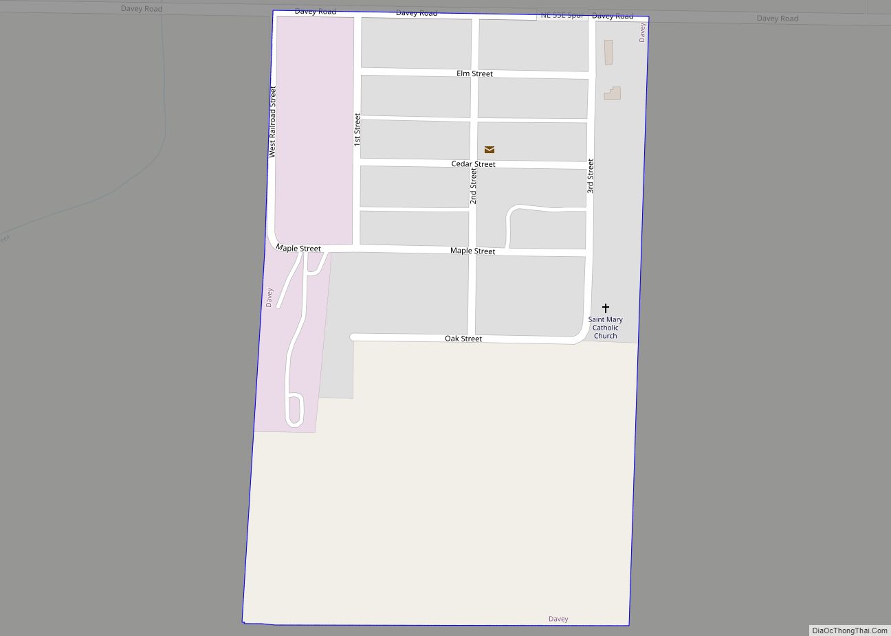
Davey is a village in Lancaster County, Nebraska, United States. It is part of the Lincoln, Nebraska Metropolitan Statistical Area. The population was 135 at the 2020 census. Davey village overview: Name: Davey village LSAD Code: 47 LSAD Description: village (suffix) State: Nebraska County: Lancaster County Elevation: 1,296 ft (395 m) Total Area: 0.15 sq mi (0.40 km²) Land Area: ... Read more
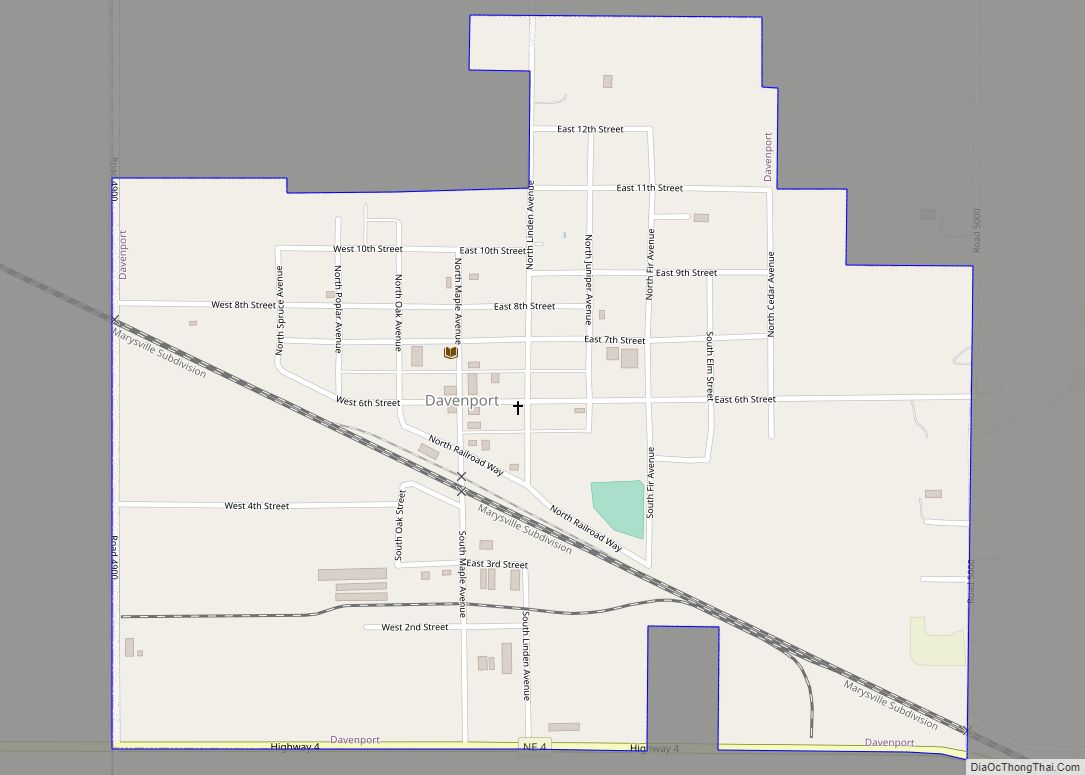
Davenport is a village in Thayer County, Nebraska, United States. The population was 321 at the 2020 census. Davenport village overview: Name: Davenport village LSAD Code: 47 LSAD Description: village (suffix) State: Nebraska County: Thayer County Elevation: 1,654 ft (504 m) Total Area: 0.65 sq mi (1.69 km²) Land Area: 0.65 sq mi (1.69 km²) Water Area: 0.00 sq mi (0.00 km²) Total Population: 321 Population ... Read more
