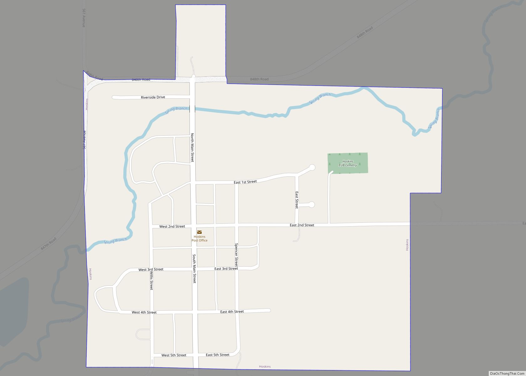
Hoskins is a village in Wayne County, Nebraska, United States. The population was 267 at the 2020 census. Hoskins village overview: Name: Hoskins village LSAD Code: 47 LSAD Description: village (suffix) State: Nebraska County: Wayne County Elevation: 1,673 ft (510 m) Total Area: 0.31 sq mi (0.80 km²) Land Area: 0.31 sq mi (0.80 km²) Water Area: 0.00 sq mi (0.00 km²) Total Population: 267 Population ... Read more
Nebraska Cities and Places
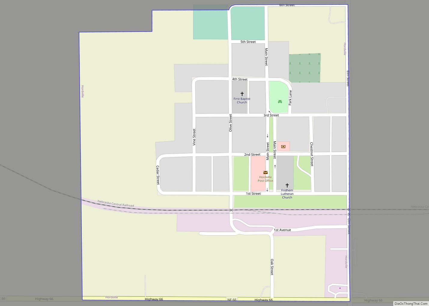
Hordville is a village in Hamilton County, Nebraska, United States. The population was 144 at the 2010 census. Hordville village overview: Name: Hordville village LSAD Code: 47 LSAD Description: village (suffix) State: Nebraska County: Hamilton County Elevation: 1,772 ft (540 m) Total Area: 0.27 sq mi (0.69 km²) Land Area: 0.27 sq mi (0.69 km²) Water Area: 0.00 sq mi (0.00 km²) Total Population: 131 Population ... Read more
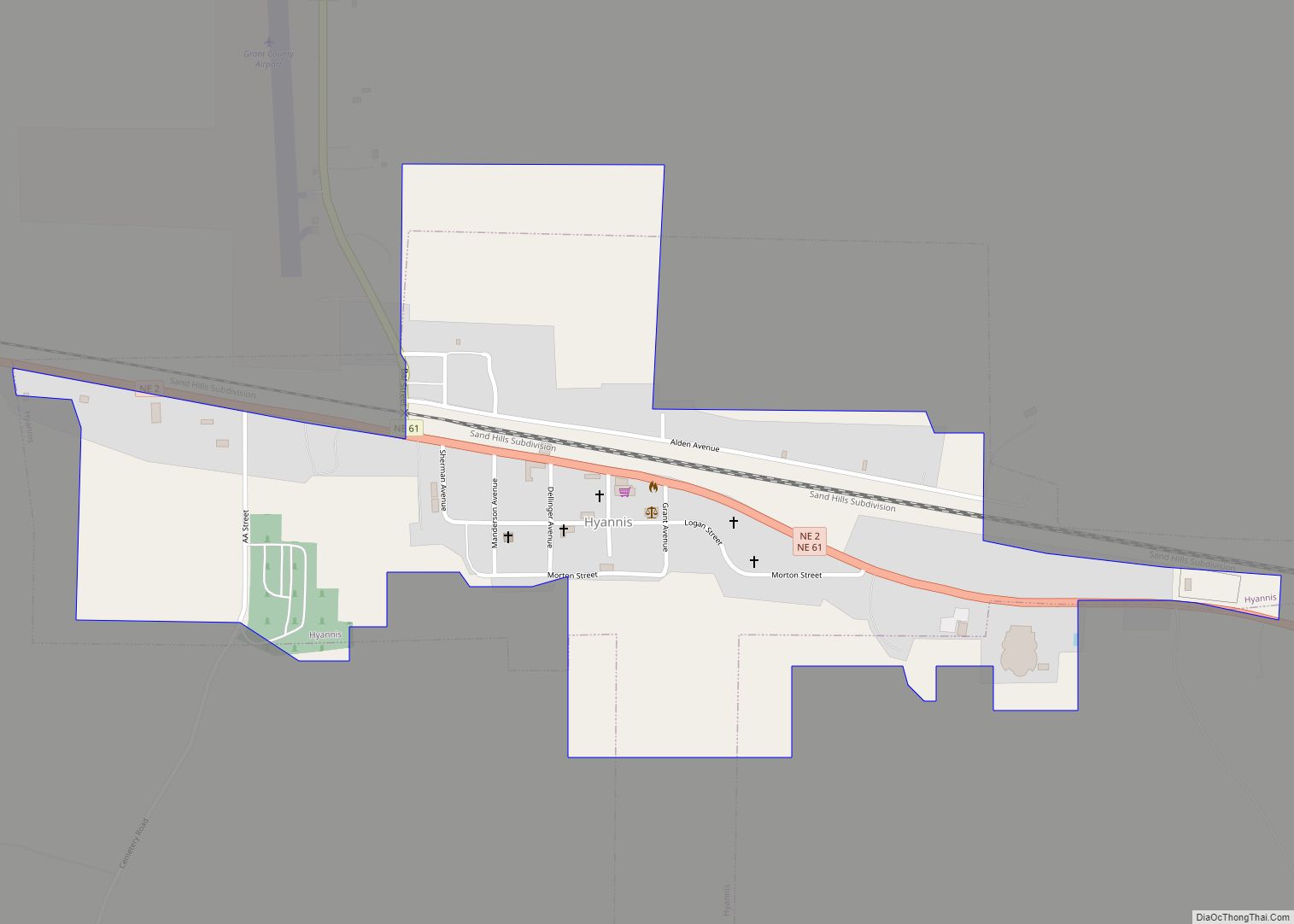
Hyannis is a village in Grant County, Nebraska. The population was 165 at the time of the 2020 census. It is the county seat of Grant County. It is centrally located in the extensive, unique, and remote region of grasslands known as the Sandhills of Nebraska at the intersection of two Nebraska State Highways: NSH ... Read more
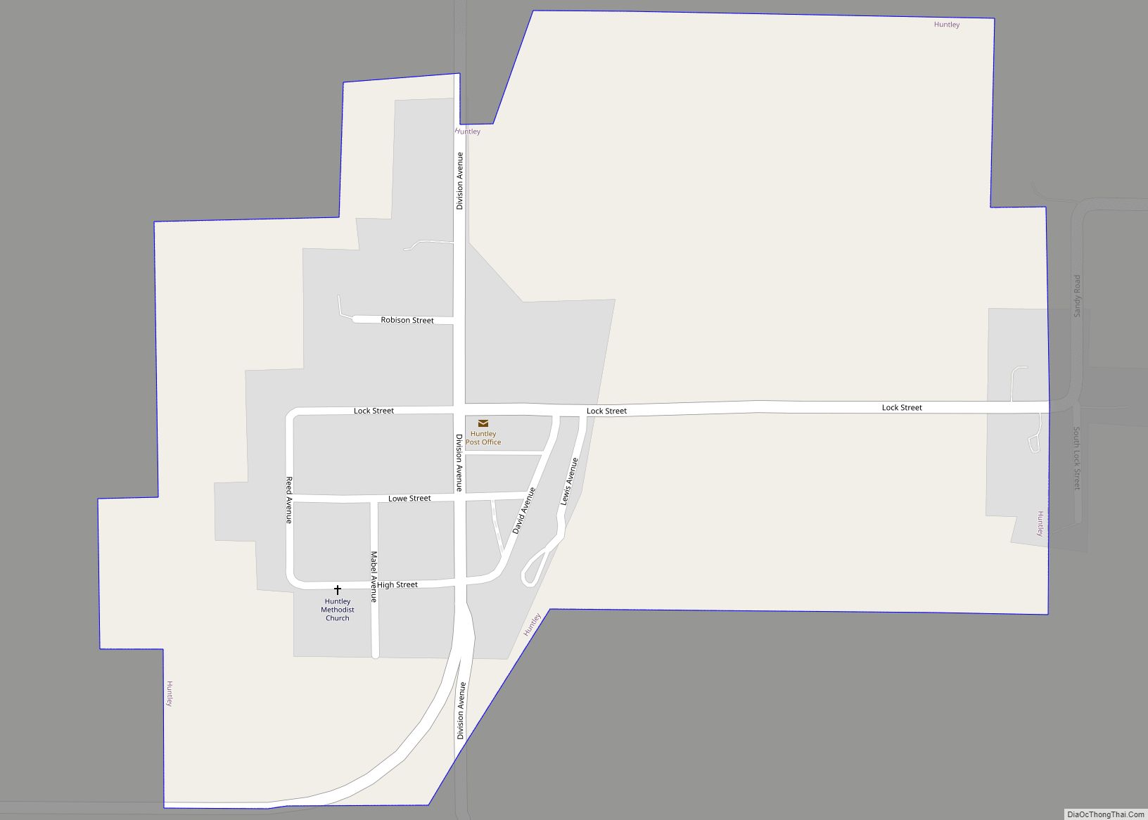
Huntley is a village in Harlan County, Nebraska, United States. The population was 44 at the 2010 census. Huntley village overview: Name: Huntley village LSAD Code: 47 LSAD Description: village (suffix) State: Nebraska County: Harlan County Elevation: 2,142 ft (653 m) Total Area: 0.37 sq mi (0.96 km²) Land Area: 0.37 sq mi (0.96 km²) Water Area: 0.00 sq mi (0.00 km²) Total Population: 33 Population ... Read more
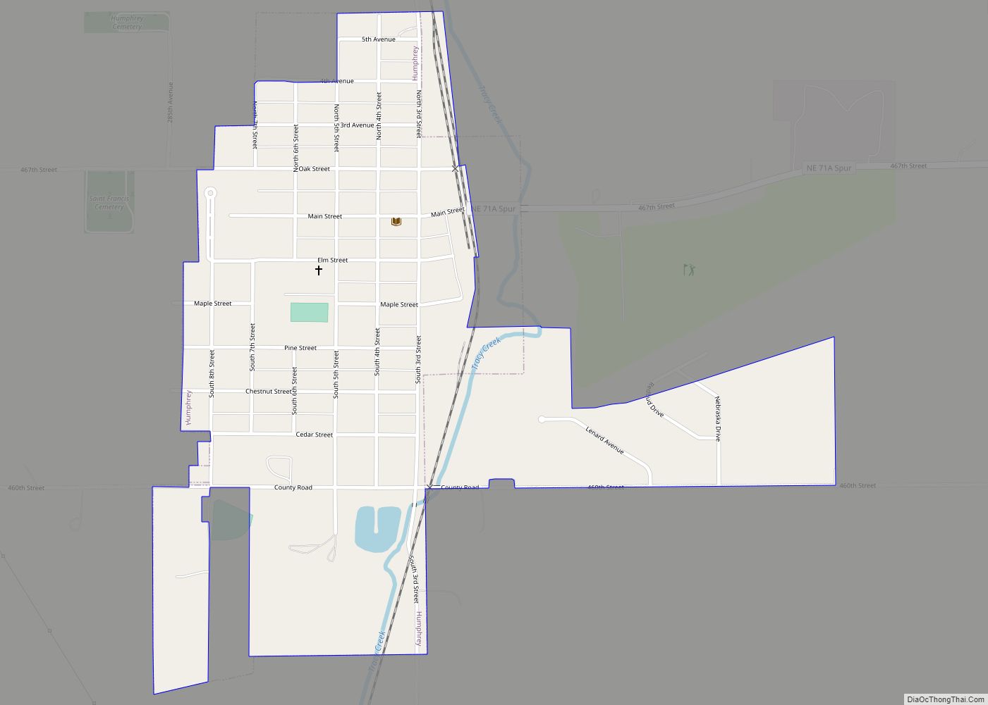
Humphrey is a city in Platte County, Nebraska, United States. The population was 760 at the 2010 census. Humphrey city overview: Name: Humphrey city LSAD Code: 25 LSAD Description: city (suffix) State: Nebraska County: Platte County Elevation: 1,670 ft (509 m) Total Area: 0.50 sq mi (1.29 km²) Land Area: 0.49 sq mi (1.28 km²) Water Area: 0.00 sq mi (0.01 km²) Total Population: 857 Population ... Read more
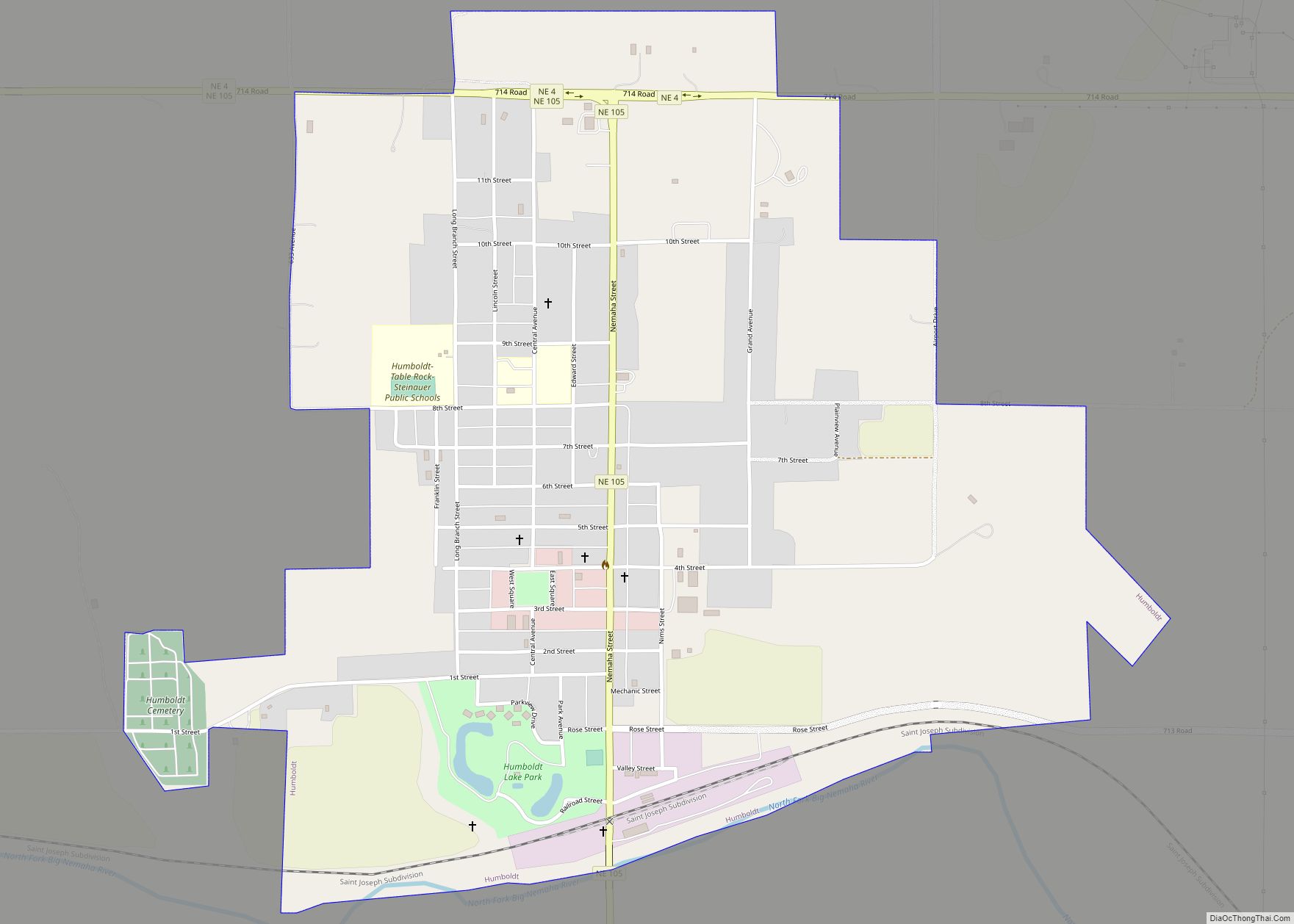
Humboldt is a city in Richardson County, Nebraska, United States. The population was 800 at the 2020 census. Humboldt city overview: Name: Humboldt city LSAD Code: 25 LSAD Description: city (suffix) State: Nebraska County: Richardson County Elevation: 1,020 ft (310 m) Total Area: 1.33 sq mi (3.46 km²) Land Area: 1.33 sq mi (3.46 km²) Water Area: 0.00 sq mi (0.00 km²) Total Population: 800 Population ... Read more
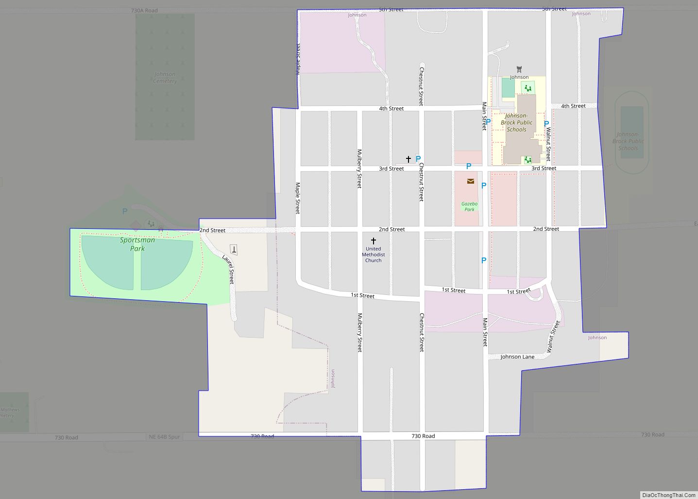
Johnson is a village in Nemaha County, Nebraska, United States. The population was 313 at the 2020 census. Johnson village overview: Name: Johnson village LSAD Code: 47 LSAD Description: village (suffix) State: Nebraska County: Nemaha County Elevation: 1,240 ft (378 m) Total Area: 0.22 sq mi (0.57 km²) Land Area: 0.22 sq mi (0.57 km²) Water Area: 0.00 sq mi (0.00 km²) Total Population: 313 Population ... Read more
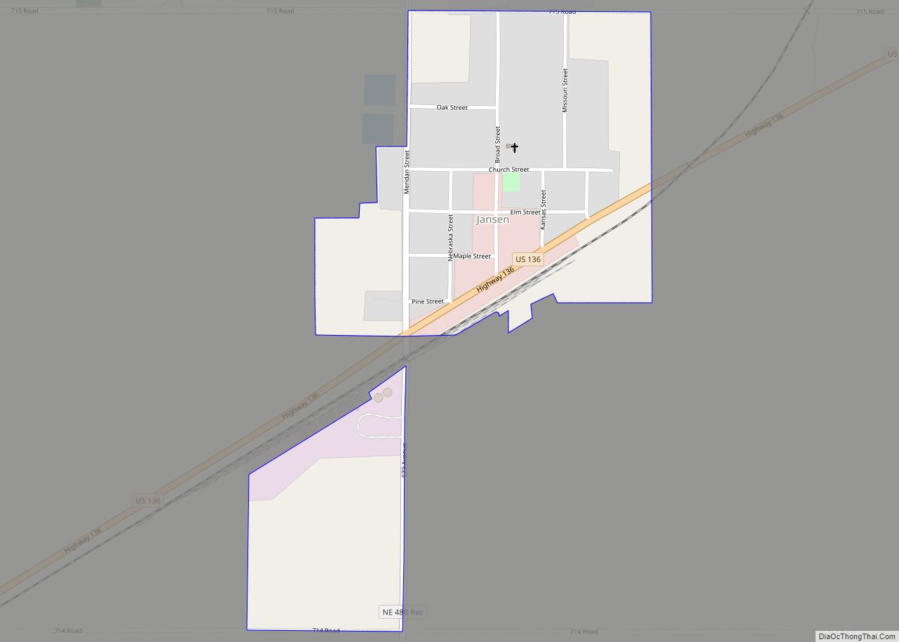
Jansen is a village in Jefferson County, Nebraska, United States. The population was 100 at the 2020 census. Jansen village overview: Name: Jansen village LSAD Code: 47 LSAD Description: village (suffix) State: Nebraska County: Jefferson County Elevation: 1,460 ft (445 m) Total Area: 0.31 sq mi (0.81 km²) Land Area: 0.31 sq mi (0.81 km²) Water Area: 0.00 sq mi (0.00 km²) Total Population: 100 Population ... Read more
Jackson is a village in Dakota County, Nebraska, United States. It is part of the Sioux City, IA–NE–SD Metropolitan Statistical Area. The population was 223 at the 2010 census. Jackson village overview: Name: Jackson village LSAD Code: 47 LSAD Description: village (suffix) State: Nebraska County: Dakota County Elevation: 1,115 ft (340 m) Total Area: 0.45 sq mi (1.17 km²) Land ... Read more
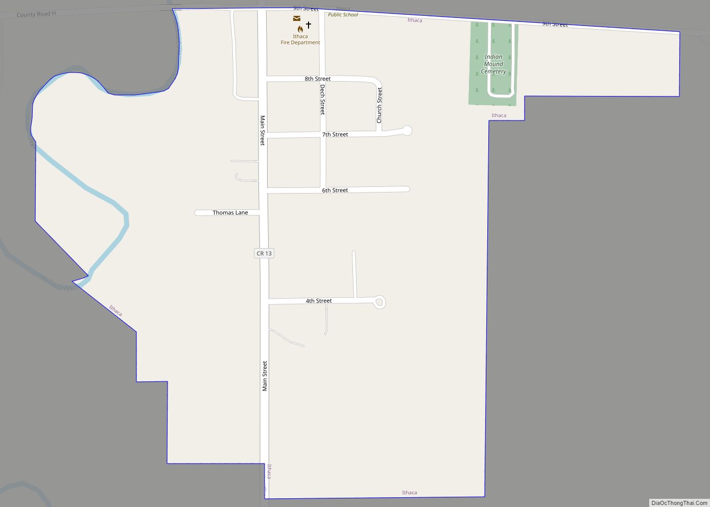
Ithaca is a village in Saunders County, Nebraska, United States. The population was 160 at the 2020 census. Ithaca village overview: Name: Ithaca village LSAD Code: 47 LSAD Description: village (suffix) State: Nebraska County: Saunders County Elevation: 1,135 ft (346 m) Total Area: 0.23 sq mi (0.60 km²) Land Area: 0.23 sq mi (0.60 km²) Water Area: 0.00 sq mi (0.00 km²) Total Population: 160 Population ... Read more
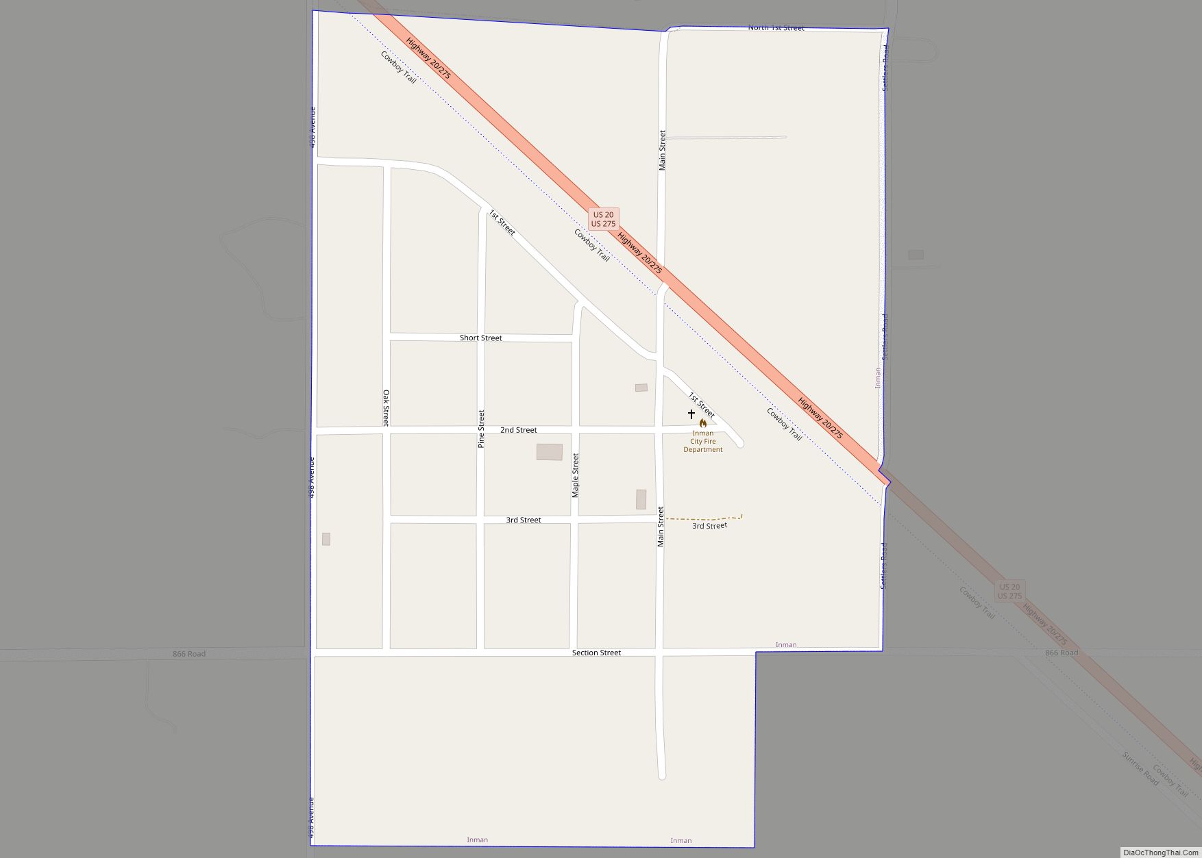
Inman is a village in Holt County, Nebraska, United States. The population was 129 as of the 2010 census. Inman village overview: Name: Inman village LSAD Code: 47 LSAD Description: village (suffix) State: Nebraska County: Holt County Elevation: 1,926 ft (587 m) Total Area: 0.29 sq mi (0.74 km²) Land Area: 0.29 sq mi (0.74 km²) Water Area: 0.00 sq mi (0.00 km²) Total Population: 95 ... Read more
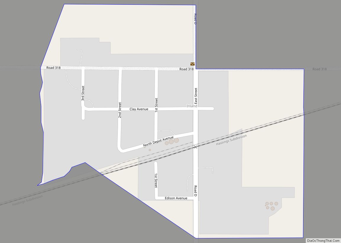
Inland is an unincorporated community and census-designated place in northwestern Clay County, Nebraska, United States. As of the 2010 census it had a population of 62. Although Inland is unincorporated, it has a post office, with the ZIP code of 68954. Inland CDP overview: Name: Inland CDP LSAD Code: 57 LSAD Description: CDP (suffix) State: ... Read more
