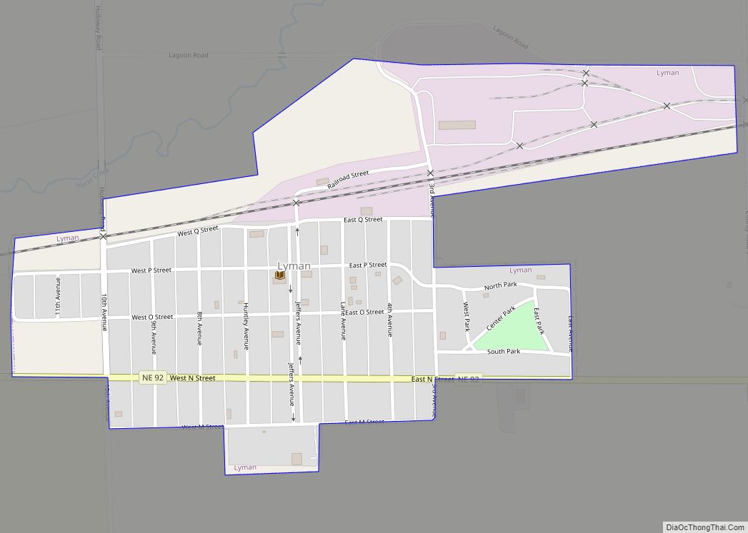
Lyman is a village in Scotts Bluff County, Nebraska, United States. It is part of the Scottsbluff, Nebraska Micropolitan Statistical Area. The population was 341 at the 2010 census. Lyman village overview: Name: Lyman village LSAD Code: 47 LSAD Description: village (suffix) State: Nebraska County: Scotts Bluff County Elevation: 4,052 ft (1,235 m) Total Area: 0.31 sq mi (0.80 km²) ... Read more
Nebraska Cities and Places
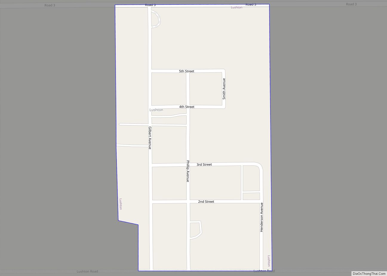
Lushton is a village in York County, Nebraska, United States. The population was 30 at the 2010 census. Lushton village overview: Name: Lushton village LSAD Code: 47 LSAD Description: village (suffix) State: Nebraska County: York County Elevation: 1,677 ft (511 m) Total Area: 0.14 sq mi (0.37 km²) Land Area: 0.14 sq mi (0.37 km²) Water Area: 0.00 sq mi (0.00 km²) Total Population: 28 Population ... Read more
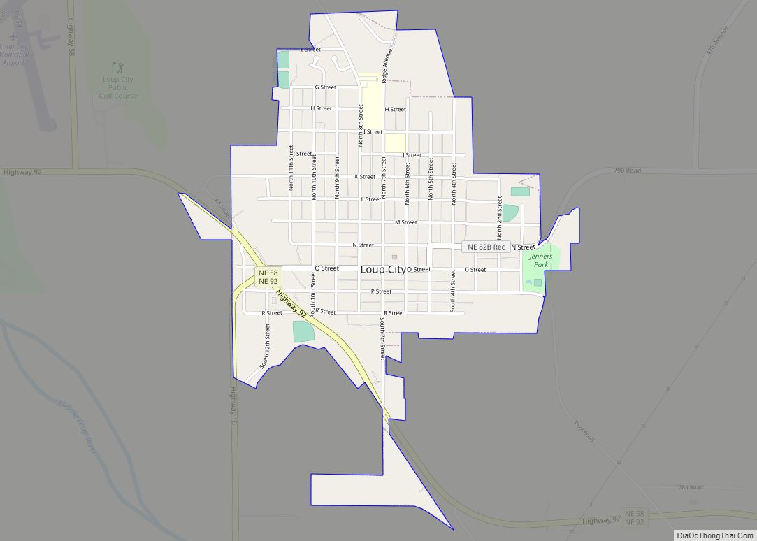
Loup City is the county seat of Sherman County, in the central portion of the Midwestern state of Nebraska, United States. The population was 1,173 at the 2010 census. Loup City is close to the Middle Loup River, and about five miles from Sherman Reservoir. Loup City city overview: Name: Loup City city LSAD Code: ... Read more
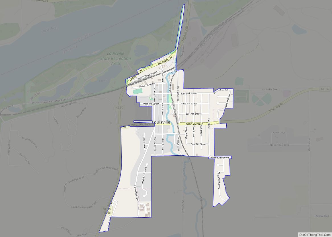
Louisville is a city in northern Cass County, Nebraska, United States. The population was 1,319 at the 2020 census. Louisville city overview: Name: Louisville city LSAD Code: 25 LSAD Description: city (suffix) State: Nebraska County: Cass County Elevation: 1,040 ft (320 m) Total Area: 0.65 sq mi (1.68 km²) Land Area: 0.65 sq mi (1.68 km²) Water Area: 0.00 sq mi (0.00 km²) Total Population: 1,319 ... Read more
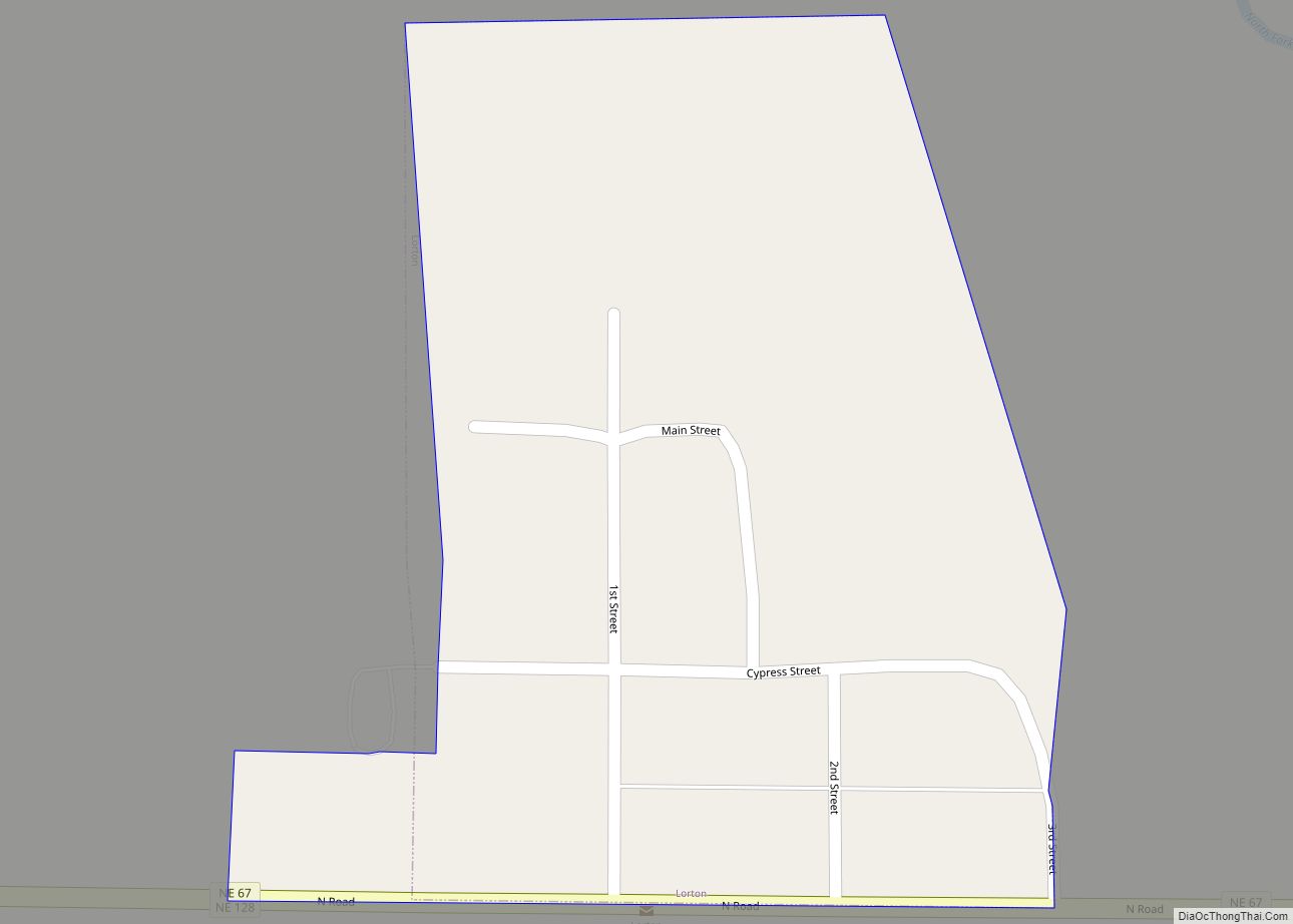
Lorton is a village in Otoe County, Nebraska, United States. The population was 35 at the 2020 census. Lorton village overview: Name: Lorton village LSAD Code: 47 LSAD Description: village (suffix) State: Nebraska County: Otoe County Elevation: 1,020 ft (310 m) Total Area: 0.04 sq mi (0.11 km²) Land Area: 0.04 sq mi (0.11 km²) Water Area: 0.00 sq mi (0.00 km²) Total Population: 35 Population ... Read more
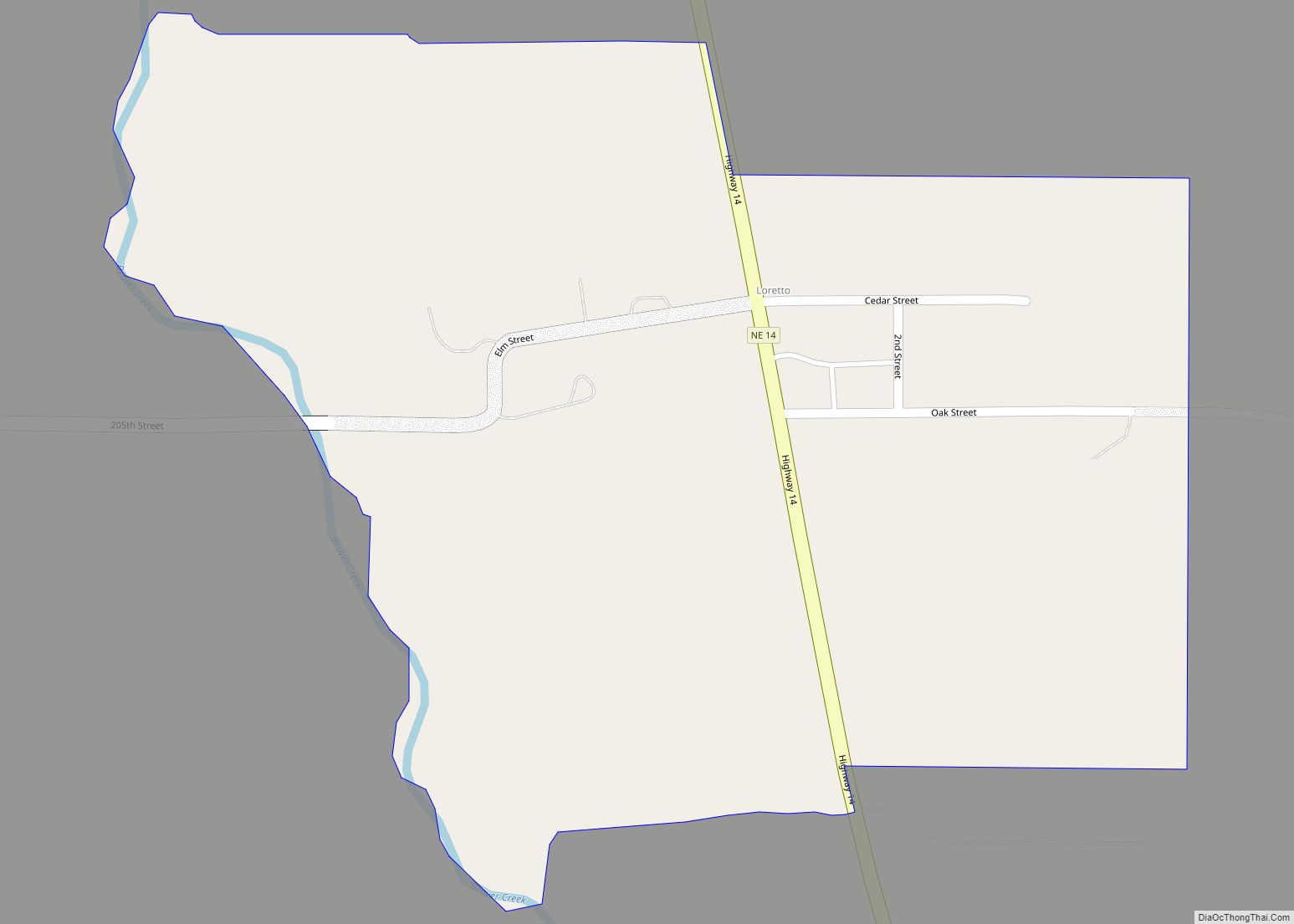
Loretto is an unincorporated community and census-designated place in Boone County, Nebraska, United States. As of the 2010 census, the community had a population of 42. Loretto CDP overview: Name: Loretto CDP LSAD Code: 57 LSAD Description: CDP (suffix) State: Nebraska County: Boone County Total Area: 0.28 sq mi (0.73 km²) Land Area: 0.28 sq mi (0.73 km²) Water Area: 0.00 sq mi ... Read more
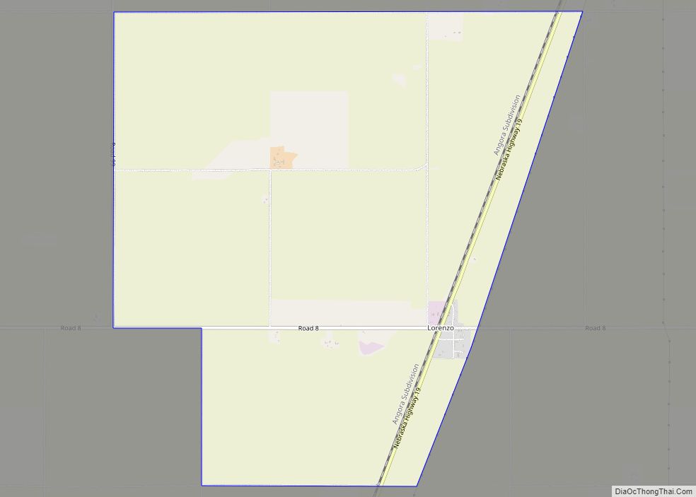
Lorenzo is an unincorporated community and census-designated place in Cheyenne County, Nebraska, United States.< As of the 2010 census, it had a population of 58. Lorenzo is located on Nebraska Highway 19, 10 miles (16 km) southwest of Sidney, the county seat, and 3.5 miles (5.6 km) north of the Colorado border. Lorenzo CDP overview: Name: Lorenzo ... Read more
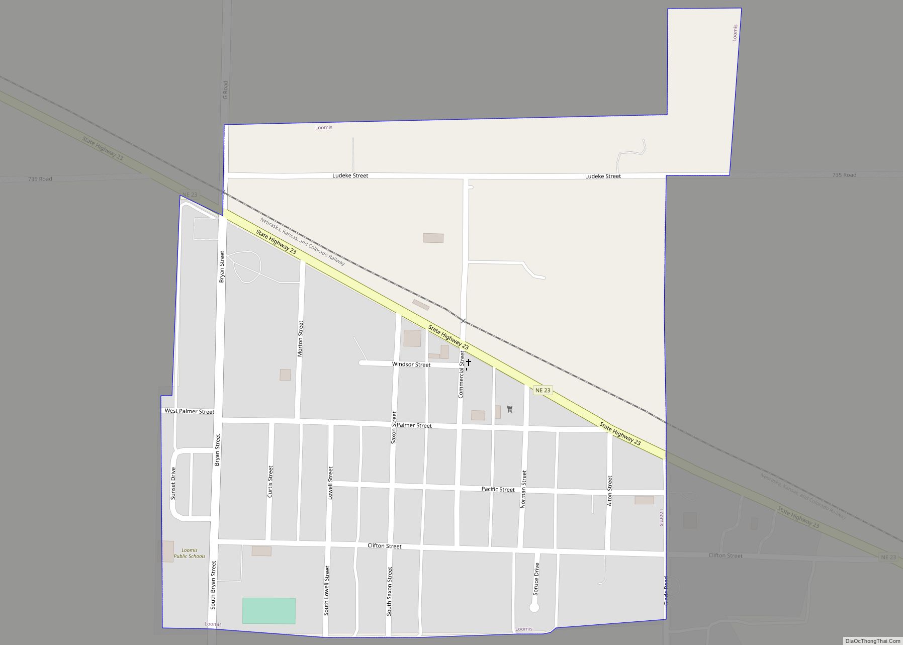
Loomis is a village in Phelps County, Nebraska, United States. The population was 383 at the 2010 census. Loomis village overview: Name: Loomis village LSAD Code: 47 LSAD Description: village (suffix) State: Nebraska County: Phelps County Elevation: 2,425 ft (739 m) Total Area: 0.33 sq mi (0.85 km²) Land Area: 0.33 sq mi (0.85 km²) Water Area: 0.00 sq mi (0.00 km²) Total Population: 420 Population ... Read more
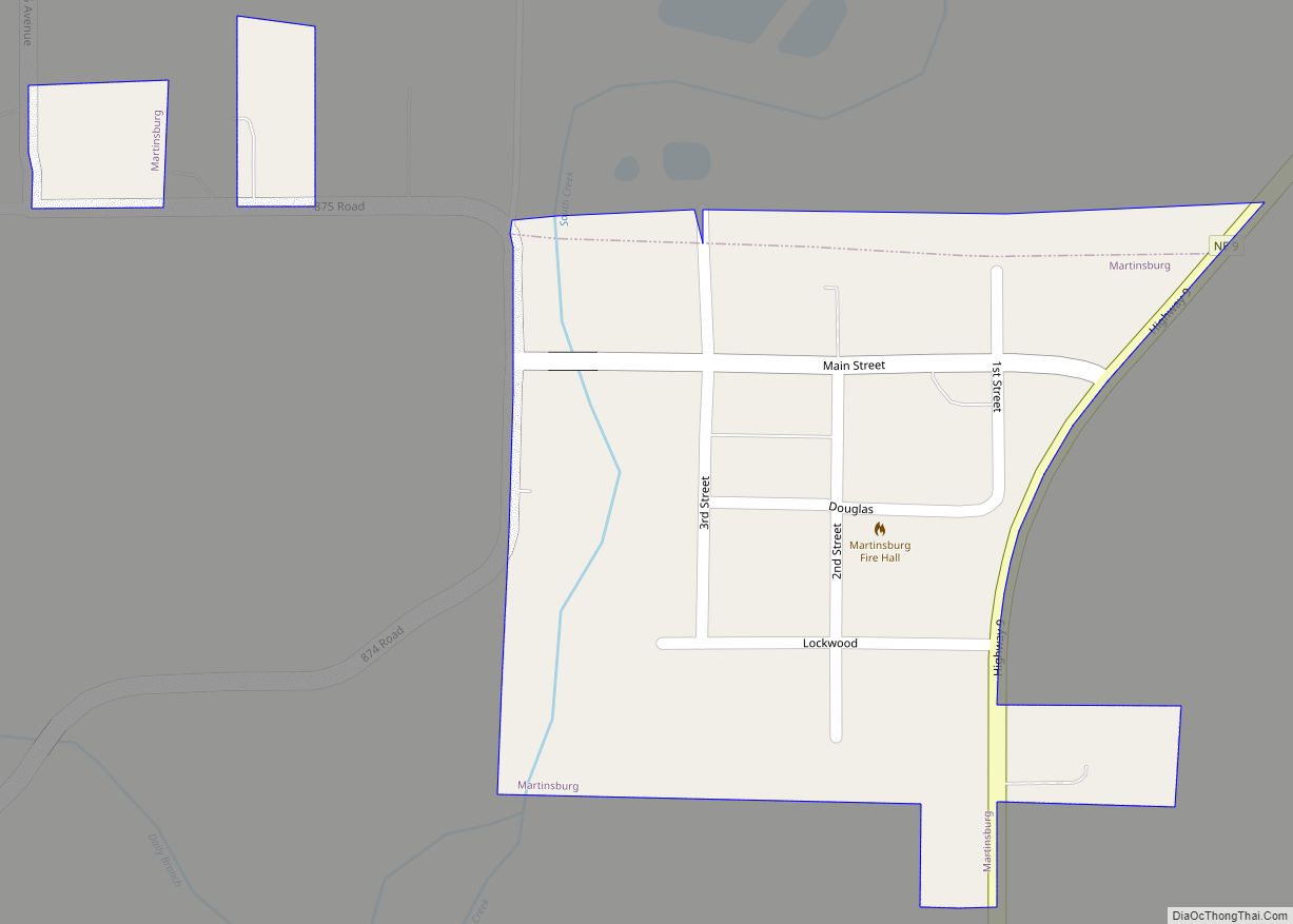
Martinsburg is a village in Dixon County, Nebraska, United States. It is part of the Sioux City, IA–NE–SD Metropolitan Statistical Area. The population was 94 at the 2010 census. Martinsburg village overview: Name: Martinsburg village LSAD Code: 47 LSAD Description: village (suffix) State: Nebraska County: Dixon County Elevation: 1,253 ft (382 m) Total Area: 0.10 sq mi (0.27 km²) Land ... Read more
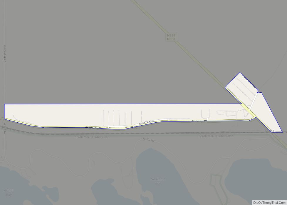
Martin is an unincorporated community and census-designated place in Keith County, Nebraska, United States. As of the 2010 census it had a population of 92. Martin Bay is one of the most popular recreation areas on Lake McConaughy. Martin CDP overview: Name: Martin CDP LSAD Code: 57 LSAD Description: CDP (suffix) State: Nebraska County: Keith ... Read more
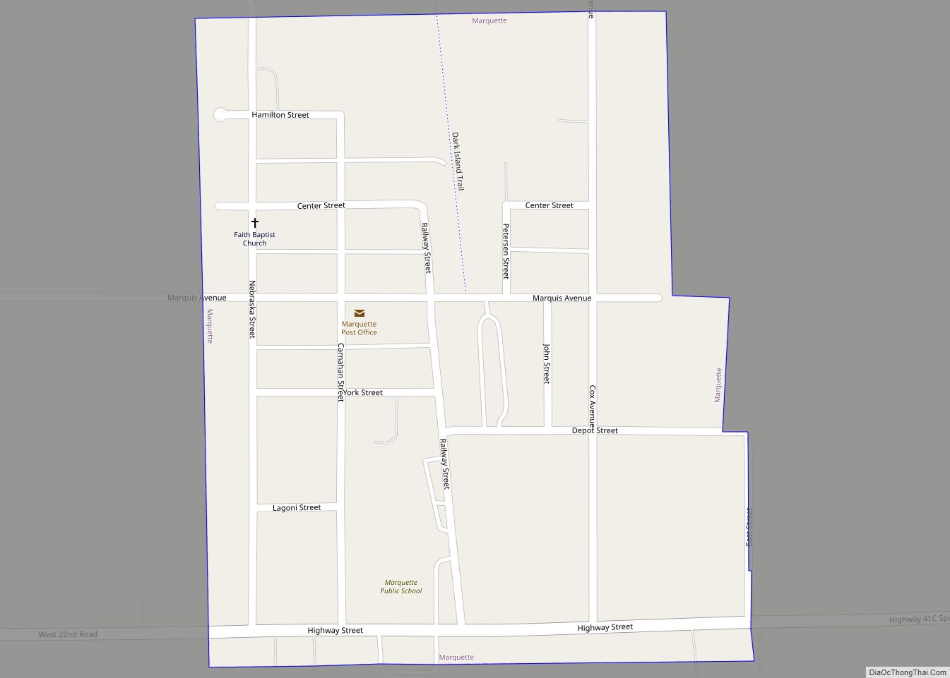
Marquette is a village in Hamilton County, Nebraska, United States. The population was 229 at the 2010 census. Marquette village overview: Name: Marquette village LSAD Code: 47 LSAD Description: village (suffix) State: Nebraska County: Hamilton County Elevation: 1,818 ft (554 m) Total Area: 0.21 sq mi (0.54 km²) Land Area: 0.21 sq mi (0.54 km²) Water Area: 0.00 sq mi (0.00 km²) Total Population: 236 Population ... Read more
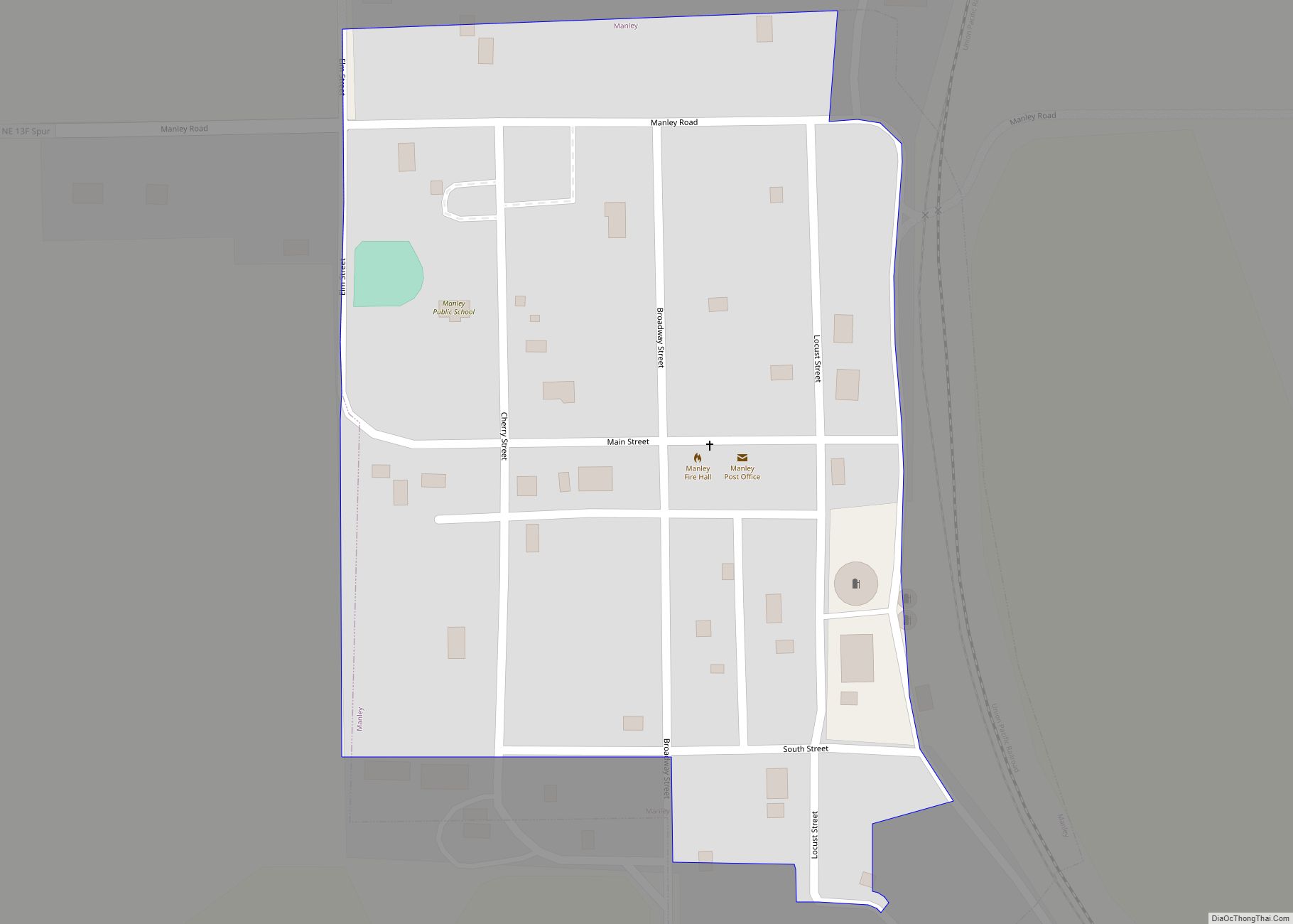
Manley is a village in Cass County, Nebraska, United States. The population was 167 at the 2020 census. Manley village overview: Name: Manley village LSAD Code: 47 LSAD Description: village (suffix) State: Nebraska County: Cass County Elevation: 1,293 ft (394 m) Total Area: 0.11 sq mi (0.29 km²) Land Area: 0.11 sq mi (0.29 km²) Water Area: 0.00 sq mi (0.00 km²) Total Population: 167 Population ... Read more
