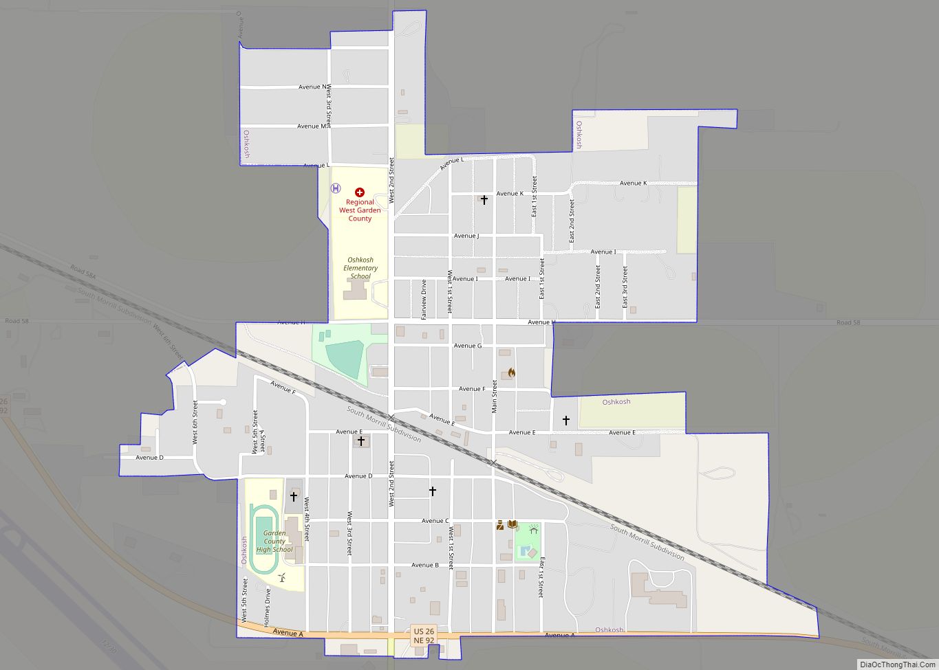
Oshkosh is a city in Garden County, Nebraska, United States. The population was 884 at the 2010 census. It is the county seat of Garden County. Oshkosh city overview: Name: Oshkosh city LSAD Code: 25 LSAD Description: city (suffix) State: Nebraska County: Garden County Incorporated: 1910 Elevation: 3,389 ft (1,033 m) Total Area: 0.67 sq mi (1.74 km²) Land Area: ... Read more
Nebraska Cities and Places
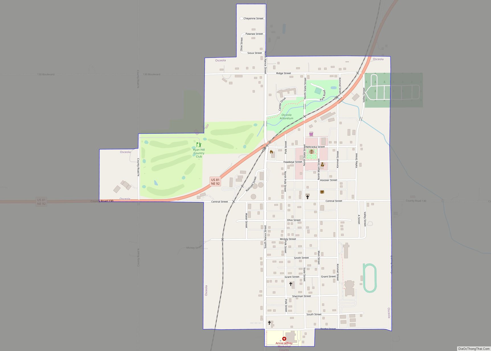
Osceola is a city and the county seat of Polk County, Nebraska, United States. The population was 880 as of the 2010 census. Osceola city overview: Name: Osceola city LSAD Code: 25 LSAD Description: city (suffix) State: Nebraska County: Polk County Elevation: 1,667 ft (508 m) Total Area: 0.92 sq mi (2.39 km²) Land Area: 0.92 sq mi (2.39 km²) Water Area: 0.00 sq mi ... Read more
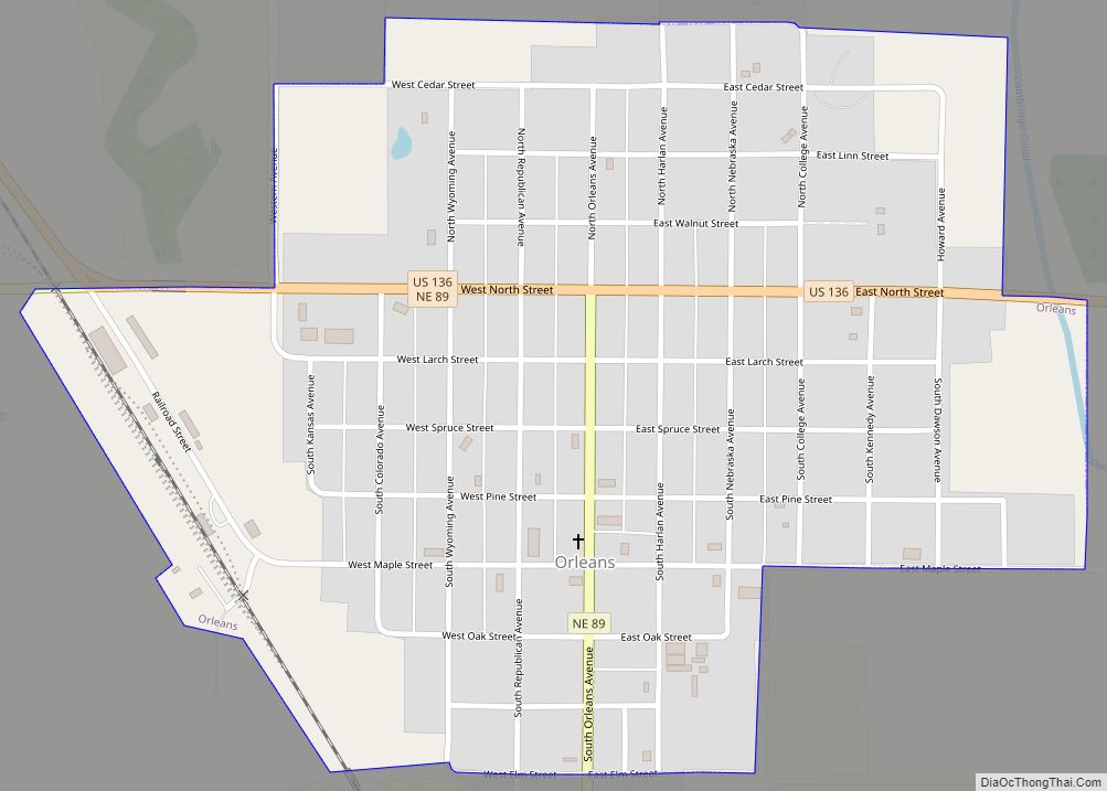
Orleans is a village in Harlan County, Nebraska, United States. The population was 386 at the 2010 census. Orleans village overview: Name: Orleans village LSAD Code: 47 LSAD Description: village (suffix) State: Nebraska County: Harlan County Elevation: 2,011 ft (613 m) Total Area: 0.60 sq mi (1.55 km²) Land Area: 0.60 sq mi (1.55 km²) Water Area: 0.00 sq mi (0.00 km²) Total Population: 341 Population ... Read more
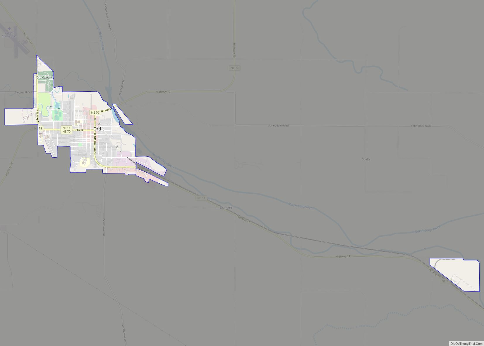
Ord is a city in Valley County, Nebraska, United States. The population was 2,112 at the 2010 census. It is the county seat of Valley County. Ord city overview: Name: Ord city LSAD Code: 25 LSAD Description: city (suffix) State: Nebraska County: Valley County Elevation: 2,051 ft (625 m) Total Area: 2.10 sq mi (5.44 km²) Land Area: 2.10 sq mi (5.44 km²) ... Read more
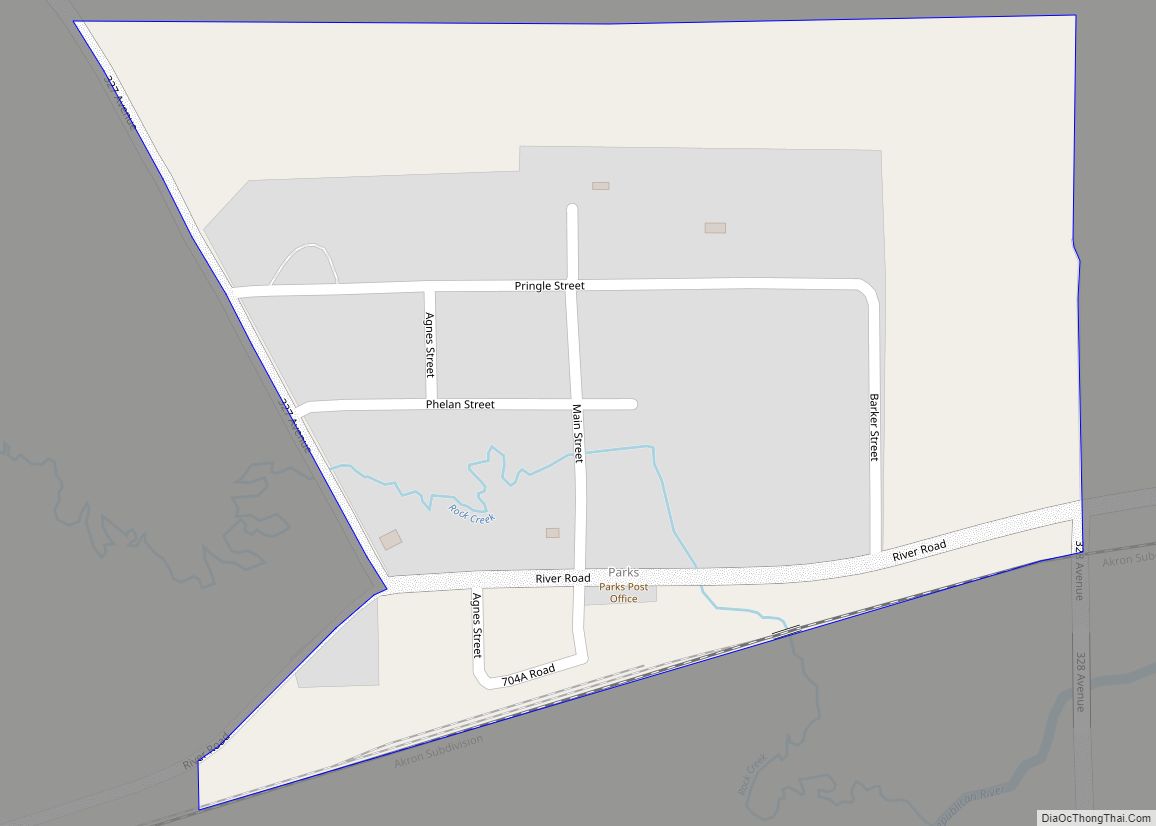
Parks is an unincorporated hamlet, located within a namesake census-designated place, in southern Dundy County, Nebraska, United States. As of the 2020 census, its population was 12. Parks lies along local roads just north of U.S. Route 34, 12 miles (19 km) west of the city of Benkelman, the county seat of Dundy County. Its elevation ... Read more
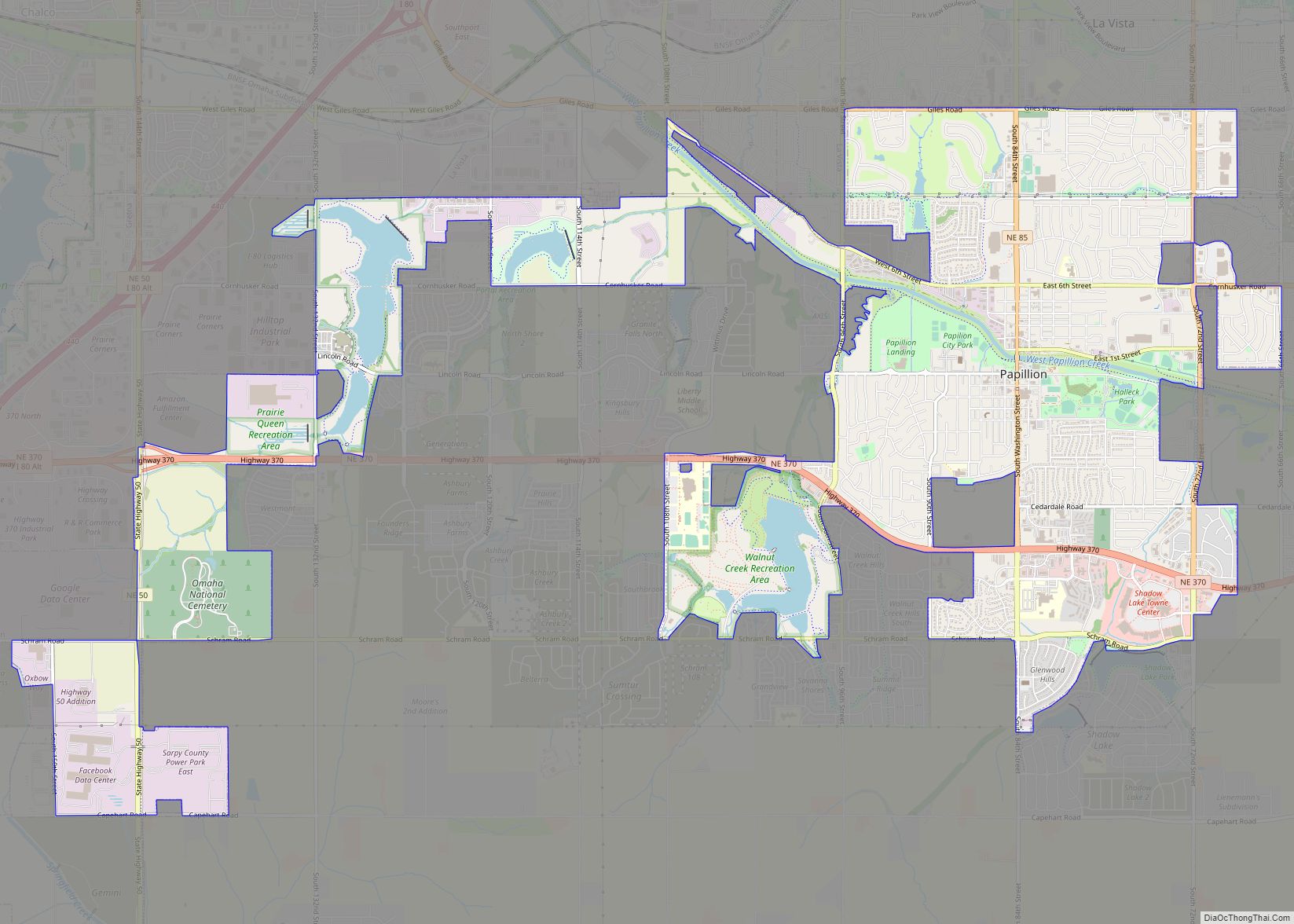
Papillion is a city in and the county seat of Sarpy County, Nebraska. The city developed in the 1870s as a railroad town and suburb of Omaha. The city is part of the larger five-county metro area of Omaha. Papillion’s population was 24,159 at the 2020 census. Its growth since the late 20th century has ... Read more
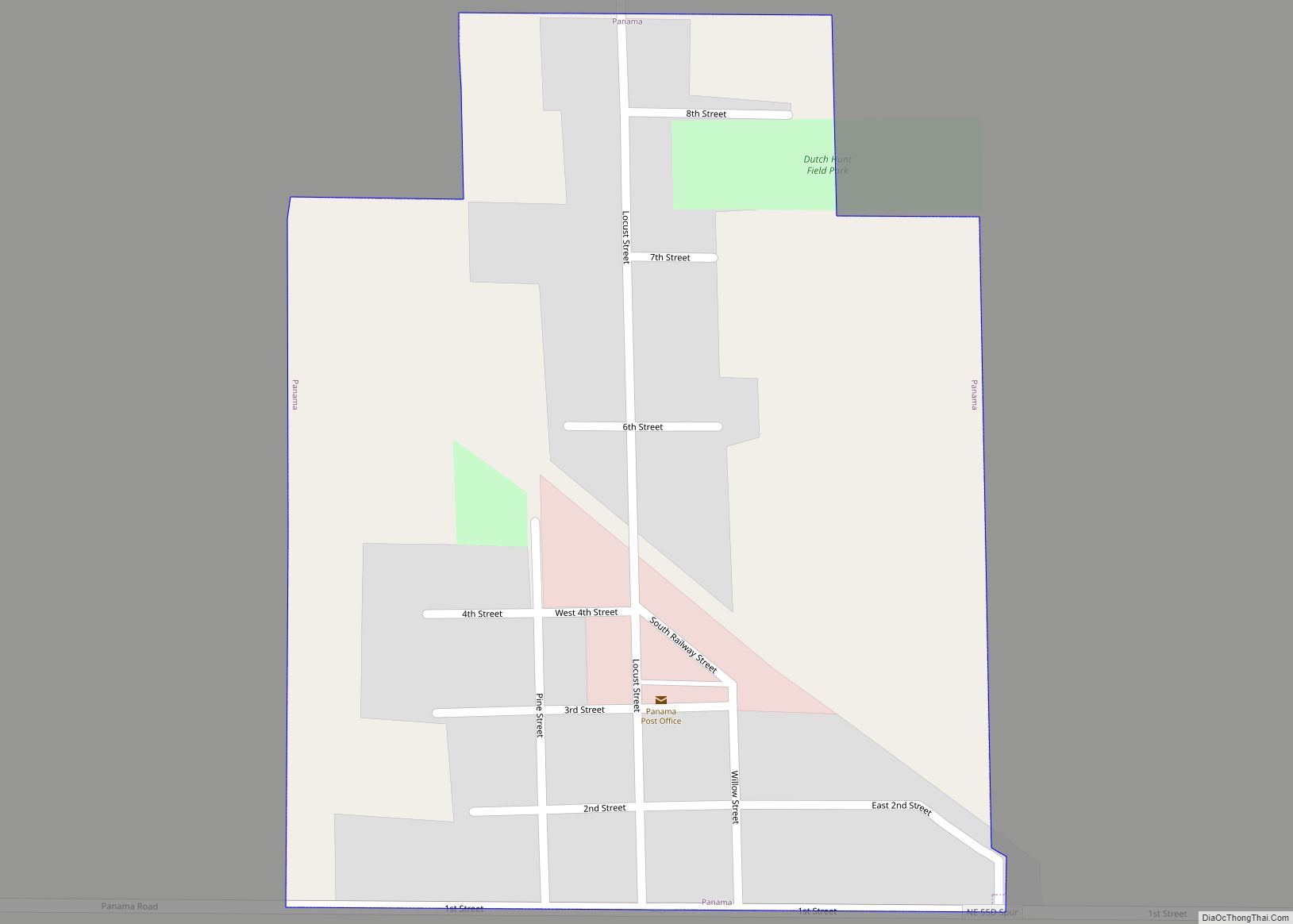
Panama is a village in Lancaster County, Nebraska, United States. It is part of the Lincoln, Nebraska Metropolitan Statistical Area. The population was 235 at the 2020 census. Panama village overview: Name: Panama village LSAD Code: 47 LSAD Description: village (suffix) State: Nebraska County: Lancaster County Elevation: 1,404 ft (428 m) Total Area: 0.28 sq mi (0.74 km²) Land Area: ... Read more
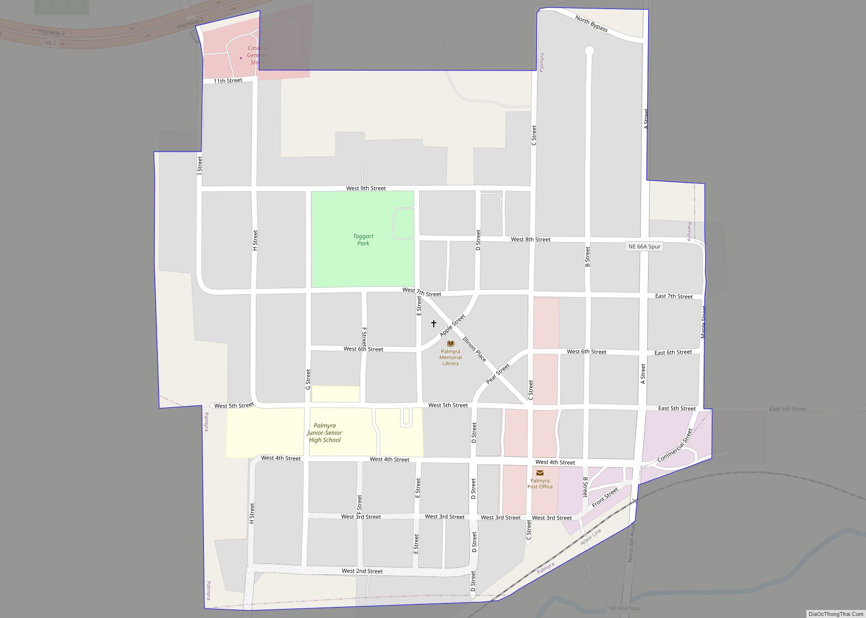
Palmyra is a village in northwest Otoe County, Nebraska, United States. The population was 534 at the 2020 census. Palmyra village overview: Name: Palmyra village LSAD Code: 47 LSAD Description: village (suffix) State: Nebraska County: Otoe County Elevation: 1,201 ft (366 m) Total Area: 0.34 sq mi (0.88 km²) Land Area: 0.34 sq mi (0.88 km²) Water Area: 0.00 sq mi (0.00 km²) Total Population: 534 ... Read more
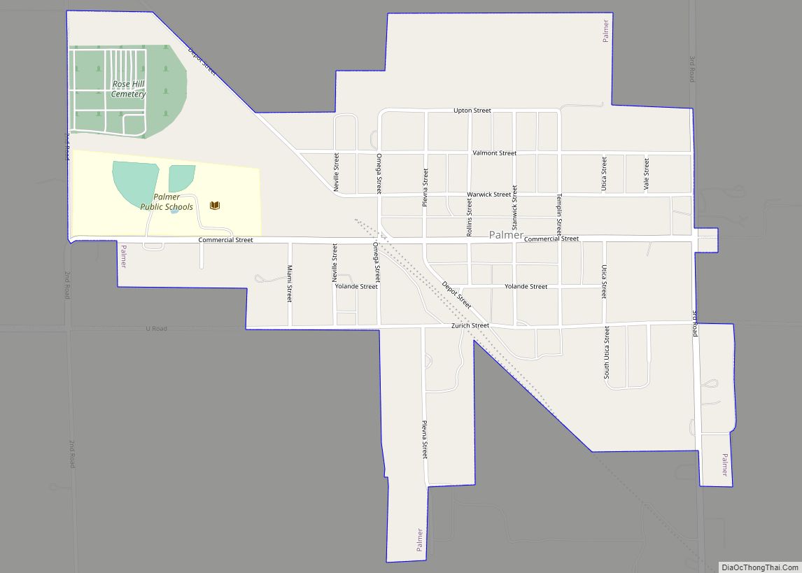
Palmer is a village in Merrick County, Nebraska, United States. The population was 472 at the 2010 census. It is part of the Grand Island, Nebraska metropolitan area. Palmer village overview: Name: Palmer village LSAD Code: 47 LSAD Description: village (suffix) State: Nebraska County: Merrick County Elevation: 1,801 ft (549 m) Total Area: 0.53 sq mi (1.38 km²) Land Area: ... Read more
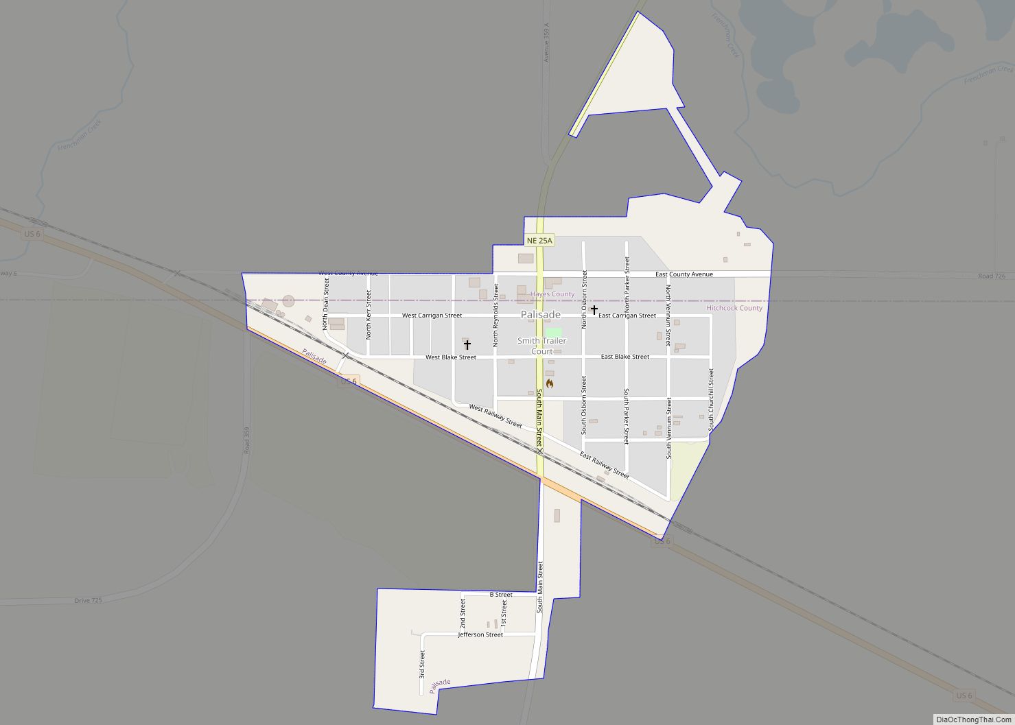
Palisade is a village in Hayes and Hitchcock counties in the U.S. state of Nebraska. The population was 294 at the 2020 census. Palisade village overview: Name: Palisade village LSAD Code: 47 LSAD Description: village (suffix) State: Nebraska County: Hayes County, Hitchcock County Elevation: 2,759 ft (841 m) Total Area: 0.35 sq mi (0.92 km²) Land Area: 0.35 sq mi (0.92 km²) Water ... Read more
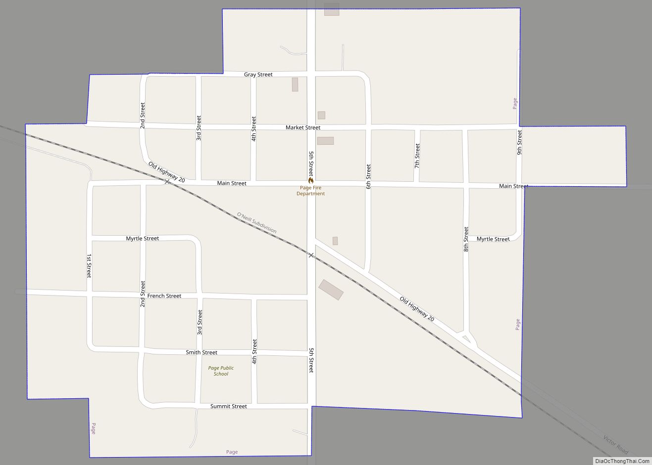
Page is a village in Holt County, Nebraska, United States. The population was 166 at the 2010 census. Page village overview: Name: Page village LSAD Code: 47 LSAD Description: village (suffix) State: Nebraska County: Holt County Elevation: 1,962 ft (598 m) Total Area: 0.24 sq mi (0.63 km²) Land Area: 0.24 sq mi (0.63 km²) Water Area: 0.00 sq mi (0.00 km²) Total Population: 166 Population ... Read more
Oxford is a village in Furnas and Harlan counties in the U.S. state of Nebraska. The population was 779 at the 2010 census. Oxford village overview: Name: Oxford village LSAD Code: 47 LSAD Description: village (suffix) State: Nebraska County: Furnas County, Harlan County Elevation: 2,077 ft (633 m) Total Area: 0.91 sq mi (2.36 km²) Land Area: 0.91 sq mi (2.36 km²) Water ... Read more
