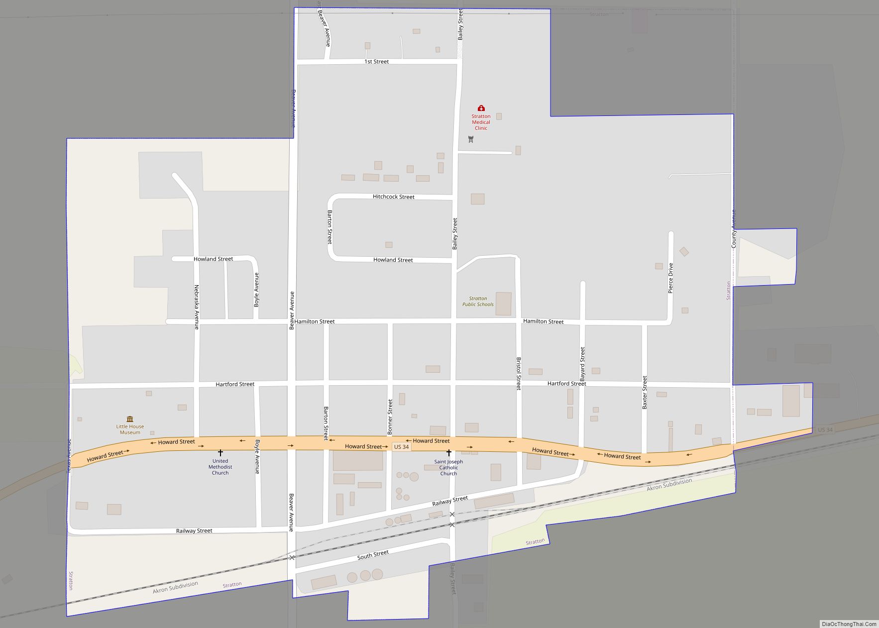
Stratton is a village in Hitchcock County, Nebraska, United States. The population was 310 at the 2020 census. Stratton village overview: Name: Stratton village LSAD Code: 47 LSAD Description: village (suffix) State: Nebraska County: Hitchcock County Elevation: 2,802 ft (854 m) Total Area: 0.43 sq mi (1.12 km²) Land Area: 0.43 sq mi (1.12 km²) Water Area: 0.00 sq mi (0.00 km²) Total Population: 310 Population ... Read more
Nebraska Cities and Places
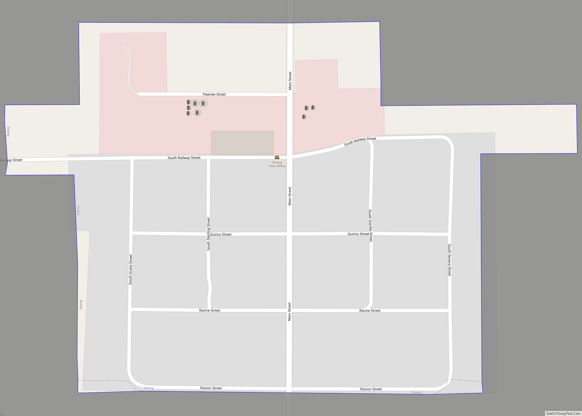
Strang is a village in Fillmore County, Nebraska, United States. The population was 34 at the 2020 census. Strang village overview: Name: Strang village LSAD Code: 47 LSAD Description: village (suffix) State: Nebraska County: Fillmore County Elevation: 1,621 ft (494 m) Total Area: 0.12 sq mi (0.32 km²) Land Area: 0.12 sq mi (0.32 km²) Water Area: 0.00 sq mi (0.00 km²) Total Population: 34 Population ... Read more
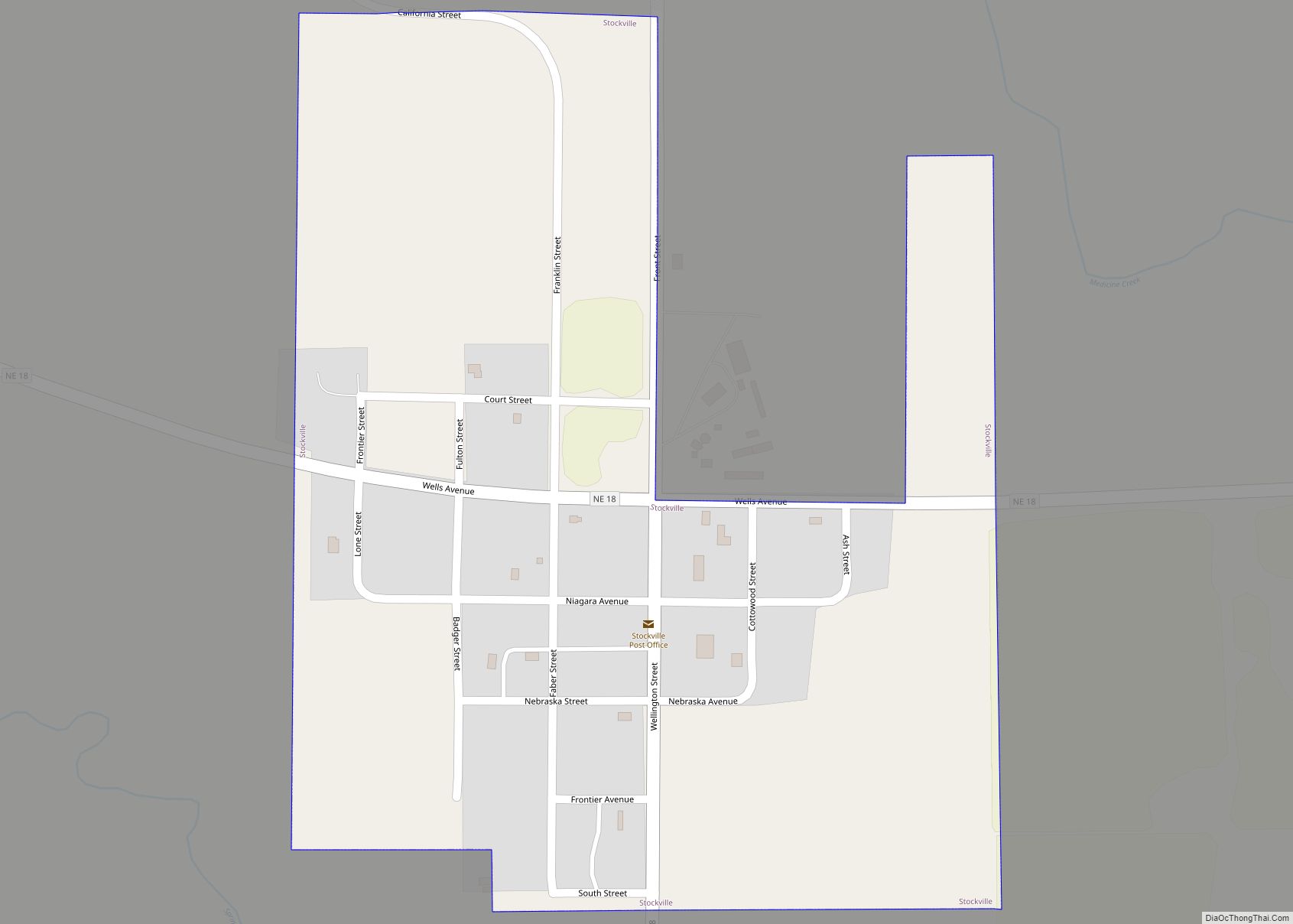
Stockville is a village in Frontier County, Nebraska, United States. The population was 25 at the 2010 census. It is the county seat of Frontier County. Stockville village overview: Name: Stockville village LSAD Code: 47 LSAD Description: village (suffix) State: Nebraska County: Frontier County Elevation: 2,484 ft (757 m) Total Area: 0.26 sq mi (0.68 km²) Land Area: 0.26 sq mi (0.68 km²) ... Read more
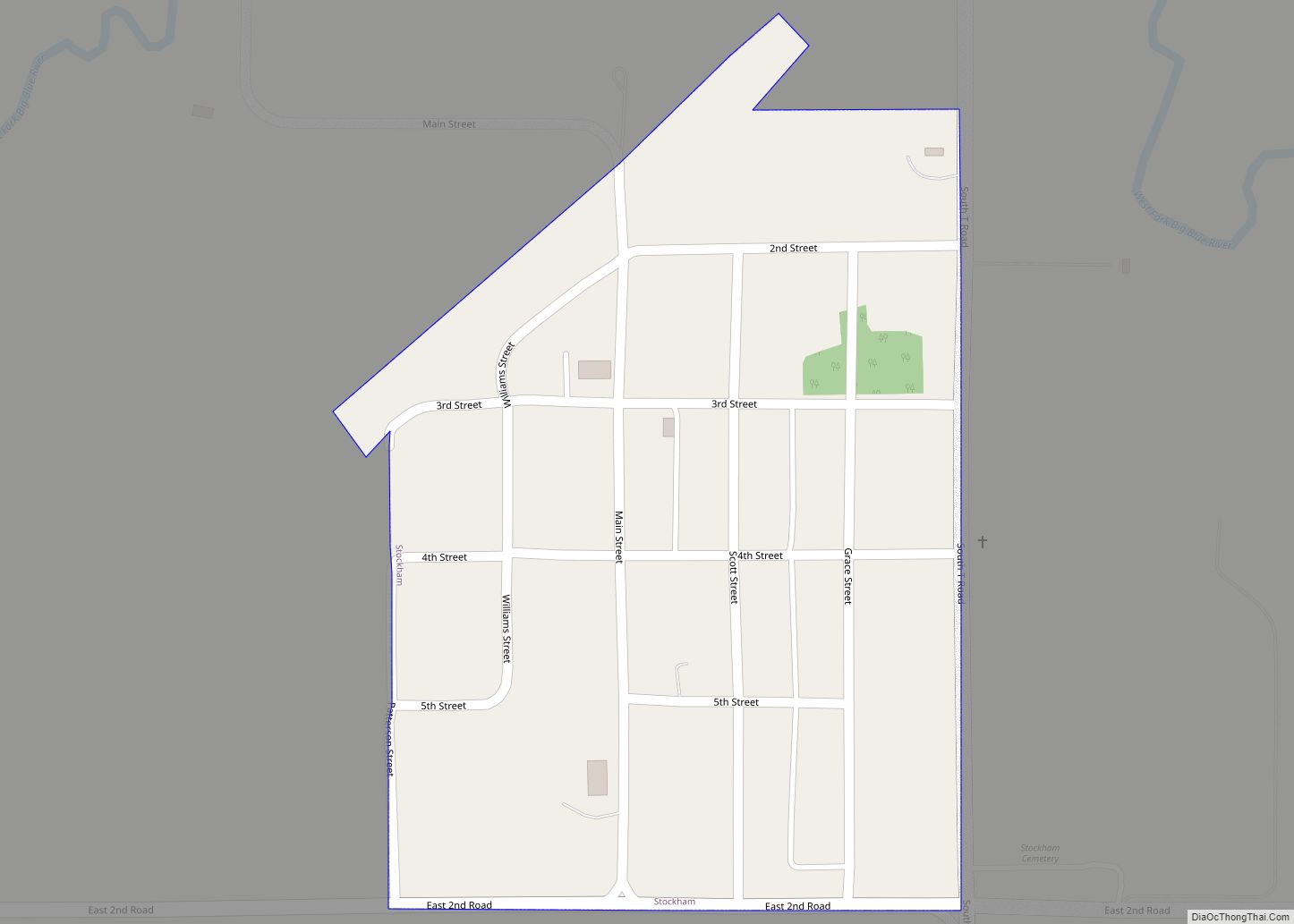
Stockham is a village in Hamilton County, Nebraska, United States. The population was 44 at the 2010 census. Stockham village overview: Name: Stockham village LSAD Code: 47 LSAD Description: village (suffix) State: Nebraska County: Hamilton County Elevation: 1,699 ft (518 m) Total Area: 0.17 sq mi (0.44 km²) Land Area: 0.17 sq mi (0.44 km²) Water Area: 0.00 sq mi (0.00 km²) Total Population: 32 Population ... Read more
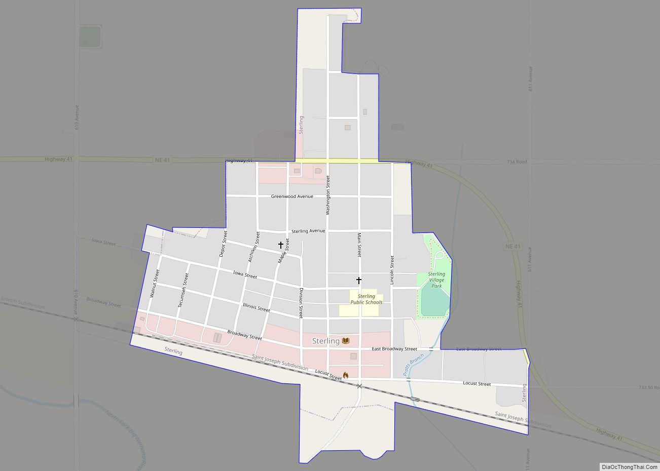
Sterling is a village in Johnson County, Nebraska, United States. The population was 482 at the 2020 census. Sterling village overview: Name: Sterling village LSAD Code: 47 LSAD Description: village (suffix) State: Nebraska County: Johnson County Elevation: 1,201 ft (366 m) Total Area: 0.41 sq mi (1.05 km²) Land Area: 0.41 sq mi (1.05 km²) Water Area: 0.00 sq mi (0.00 km²) Total Population: 482 Population ... Read more
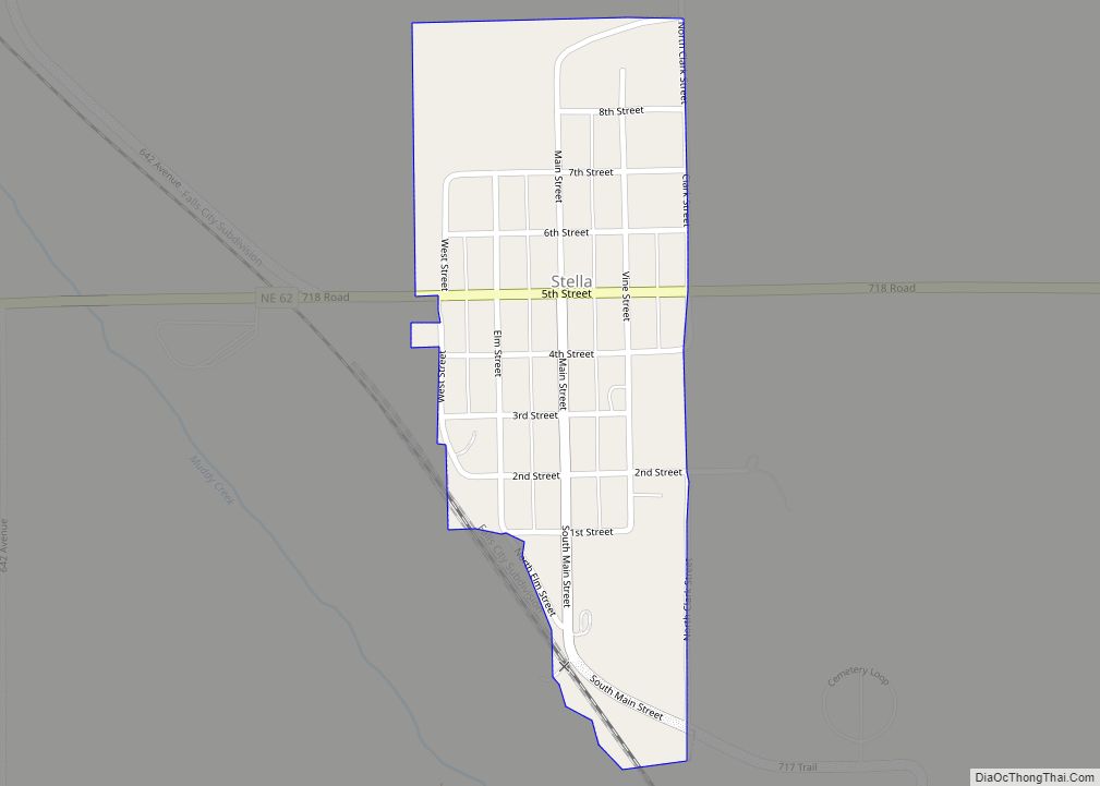
Stella is a village in Richardson County, Nebraska, United States. The population was 150 at the 2020 census. Stella village overview: Name: Stella village LSAD Code: 47 LSAD Description: village (suffix) State: Nebraska County: Richardson County Elevation: 1,037 ft (316 m) Total Area: 0.18 sq mi (0.46 km²) Land Area: 0.18 sq mi (0.46 km²) Water Area: 0.00 sq mi (0.00 km²) Total Population: 150 Population ... Read more
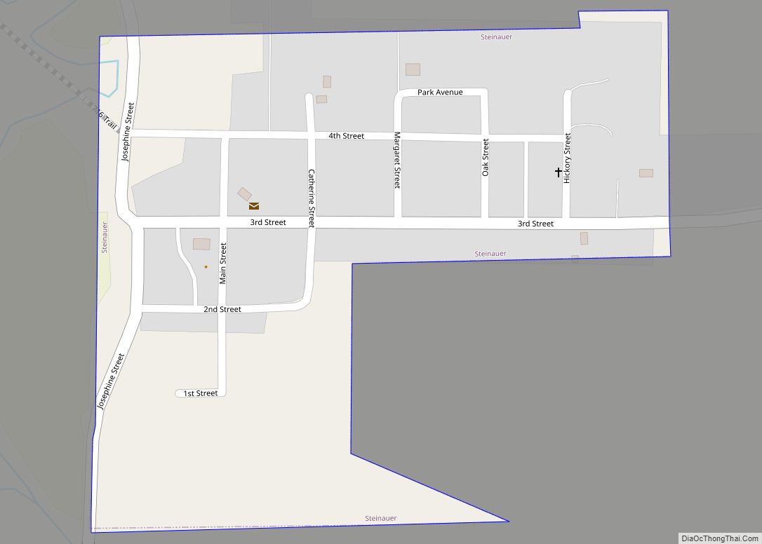
Steinauer, locally pronounced “Steener”, is a village in Pawnee County, Nebraska, United States. The population was 59 at the 2020 census. Steinauer village overview: Name: Steinauer village LSAD Code: 47 LSAD Description: village (suffix) State: Nebraska County: Pawnee County Elevation: 1,211 ft (369 m) Total Area: 0.14 sq mi (0.35 km²) Land Area: 0.14 sq mi (0.35 km²) Water Area: 0.00 sq mi (0.00 km²) Total ... Read more
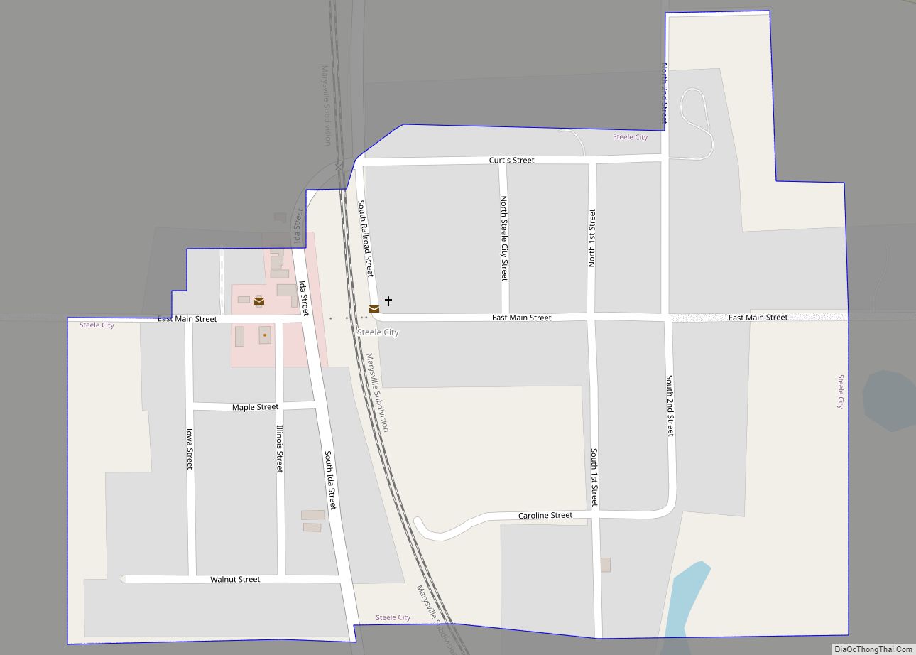
Steele City is a village in Jefferson County, Nebraska, United States. The population was 47 at the 2020 census. Steele City village overview: Name: Steele City village LSAD Code: 47 LSAD Description: village (suffix) State: Nebraska County: Jefferson County Elevation: 1,273 ft (388 m) Total Area: 0.23 sq mi (0.60 km²) Land Area: 0.23 sq mi (0.60 km²) Water Area: 0.00 sq mi (0.00 km²) Total ... Read more
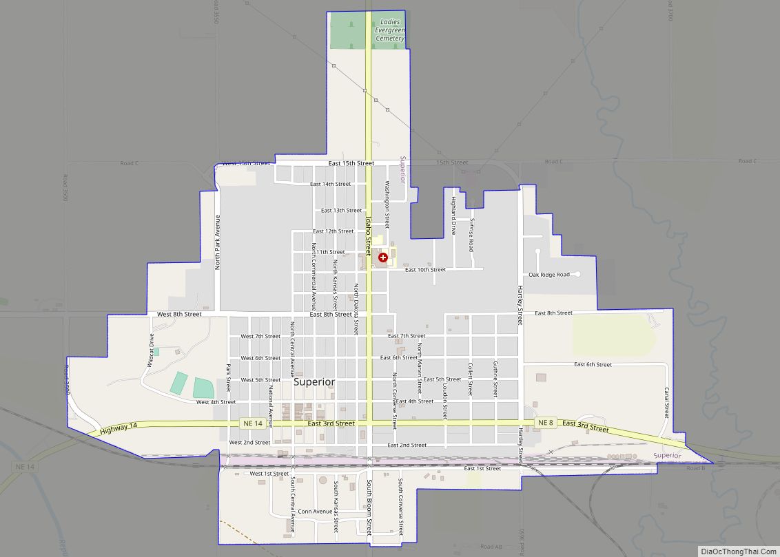
Superior is a city in Nuckolls County, Nebraska, United States. As of the 2010 census, the city population was 1,957. Superior bills itself as the “Victorian Capital of Nebraska”, and holds an annual Victorian Festival. The downtown area is listed in the National Register of Historic Places; along with many of the older houses in ... Read more
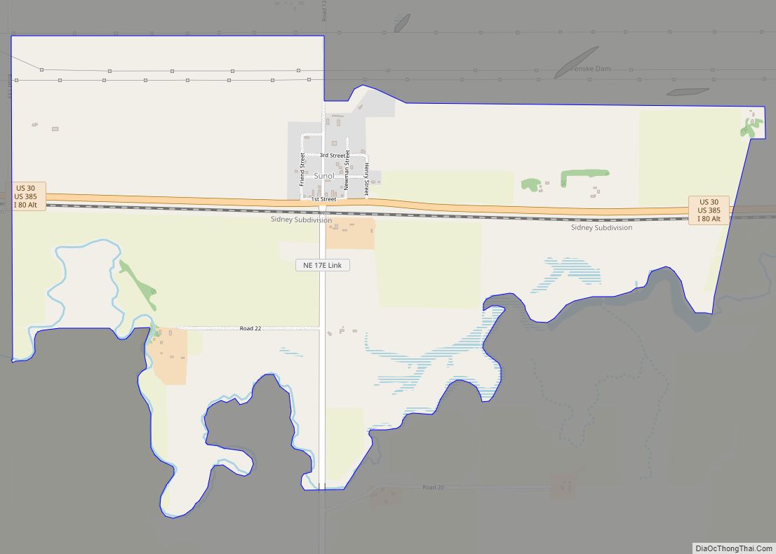
Sunol is an unincorporated community and census-designated place in Cheyenne County, Nebraska, United States. As of the 2010 census it had a population of 73. Sunol is located in the valley of Lodgepole Creek on U.S. routes 30 and 385, 11 miles (18 km) east of Sidney, the county seat. Interstate 80 is 3 miles (5 km) ... Read more
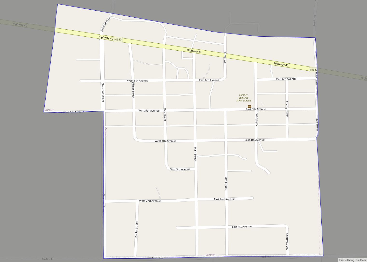
Sumner is a village in Dawson County, Nebraska, United States. It is part of the Lexington, Nebraska Micropolitan Statistical Area. The population was 236 at the 2010 census. Sumner village overview: Name: Sumner village LSAD Code: 47 LSAD Description: village (suffix) State: Nebraska County: Dawson County Elevation: 2,365 ft (721 m) Total Area: 0.29 sq mi (0.76 km²) Land Area: ... Read more
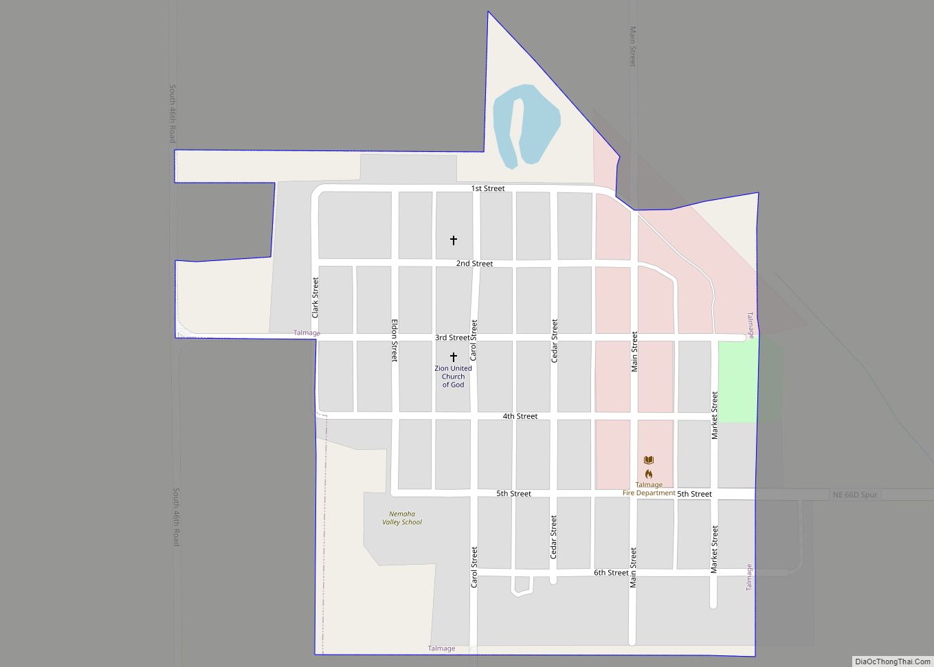
Talmage is a village in Otoe County, Nebraska, United States. The population was 198 at the 2020 census. Talmage village overview: Name: Talmage village LSAD Code: 47 LSAD Description: village (suffix) State: Nebraska County: Otoe County Elevation: 991 ft (302 m) Total Area: 0.16 sq mi (0.42 km²) Land Area: 0.16 sq mi (0.42 km²) Water Area: 0.00 sq mi (0.00 km²) Total Population: 198 Population ... Read more
